Thai Nguyen is a province in the Northeast region of Vietnam. It is a mountainous, midland province with a natural land area of 3534.45 square kilometres and a population of 1,149,100 as of 2008. Its multi-ethnic society is composed of eight ethnic groups.
With its rich mineral resources and salubrious climate, the province offers significant opportunities for industrial development for both domestic and foreign investors. Thai Nguyen is also known as an educational centre and ranks 3rd nationwide, having 21 universities and colleges. The province is also the centre of tea industry in the country with an area of 16,000 ha. (second only to Lam Dong) with a production of 100,000 tonnes/year. Its dried tea production is 25,000 tonnes/year. The tea produced here is considered to have the finest quality throughout Vietnam.
The province’s name was derived from Sino-Vietnamese.
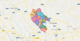
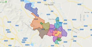
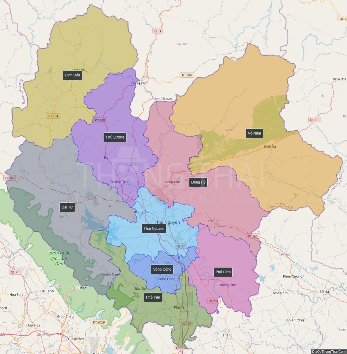
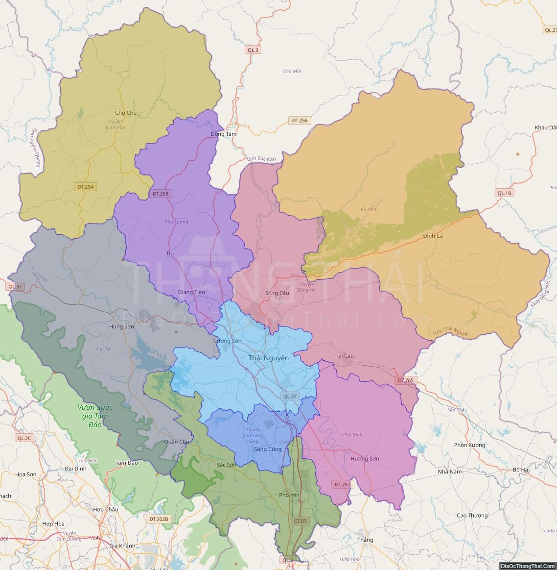
Political Map of Thai Nguyen province
Click on ![]() to view map in "full screen" mode.
to view map in "full screen" mode.
Base Map Layer: Open Street Map (OSM), Arcgisonline, Google Map, Wmflabs.
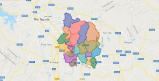
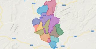
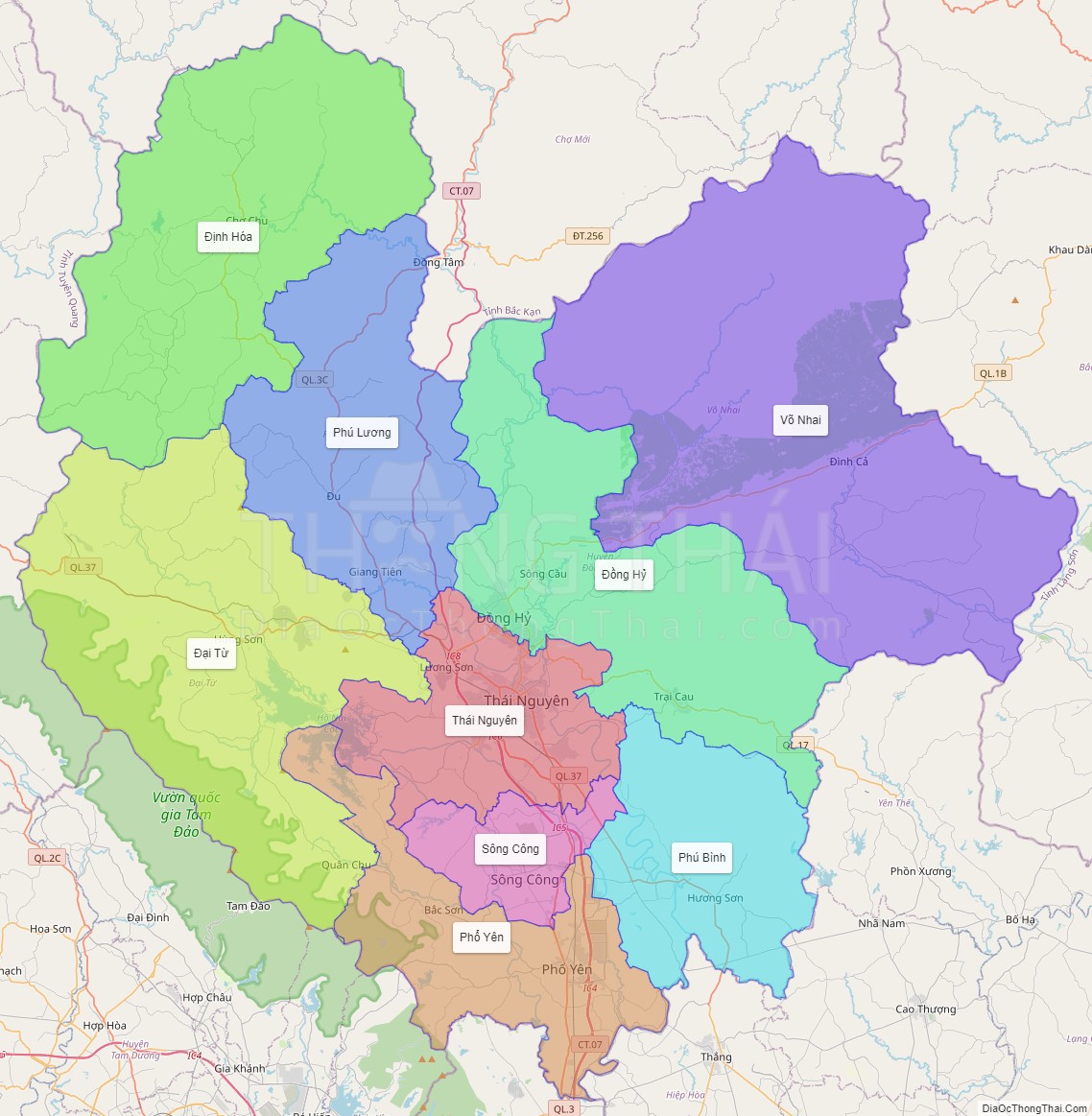
Large scale maps of Thai Nguyen province
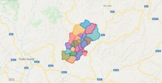
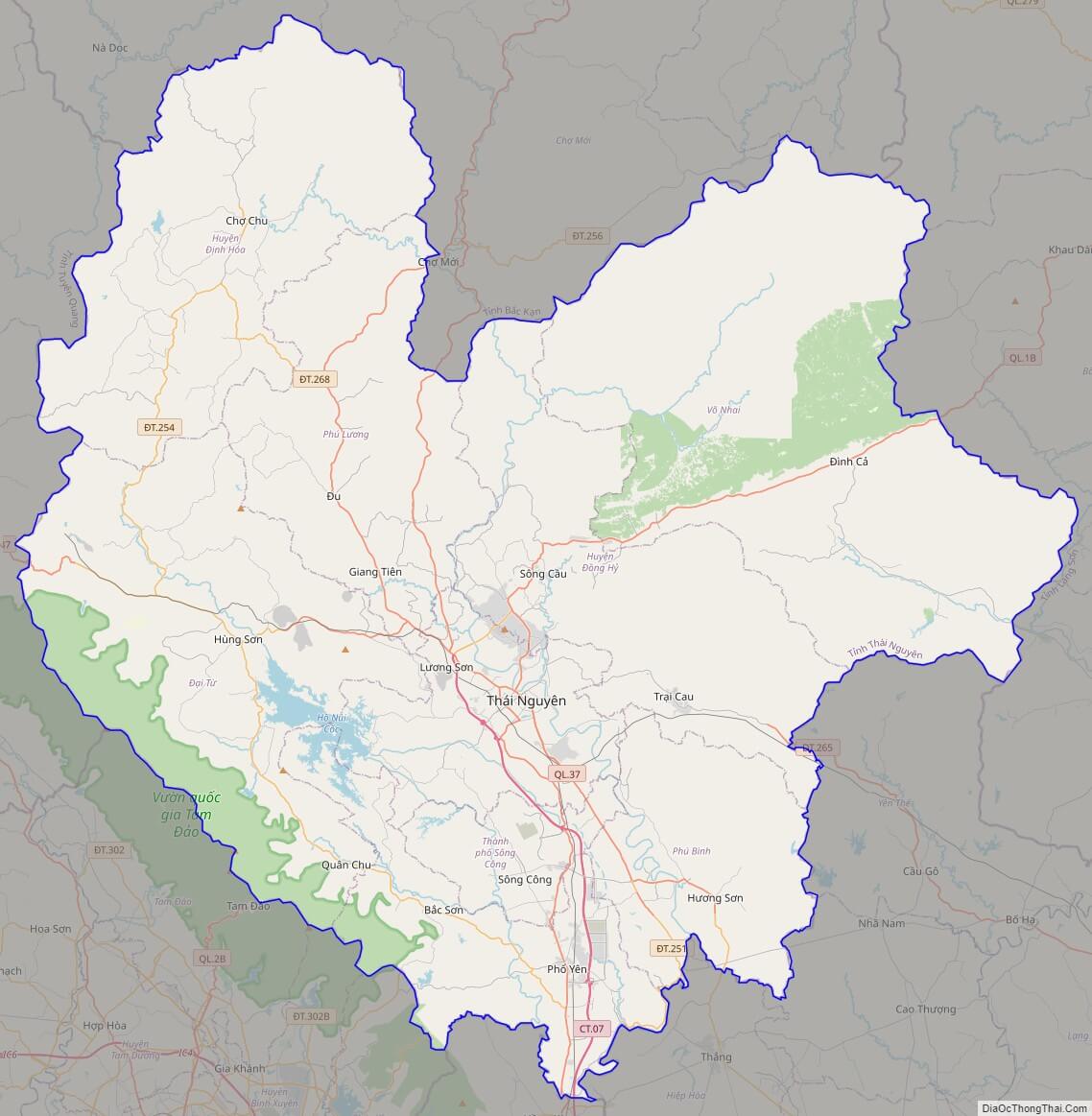
Thai Nguyen province location map

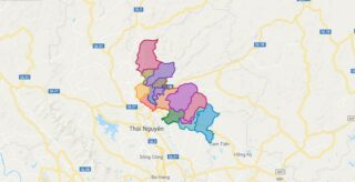
Thai Nguyen street map
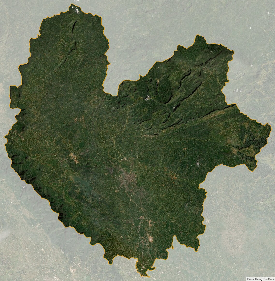
Thai Nguyen satellite map