Thanh Hoa is a province in the North Central Coast region of Vietnam. This is a relatively large province, which ranks as fifth in area and as third in population among 63 central administrative subdivisions. Its capital and largest city is Thanh Hoa City. The province is widely called Xu Thanh which means Thanh Hoa land in Vietnamese.
Human civilization has existed in Thanh Hoa for about 6,000 years ago, as one of the earliest destinations of the ancient Vietnamese. Archaeological excavations have revealed that the first culture presented was the Da But Culture, a culture located along the Song Day river and the Song Ma river.
Thanh Hoa is located in the middle of North Vietnam and North Central Coast as a transition at many aspects: geology, climate, administrative division and local culture. Thus, these factors show that Xu Thanh is a province with many particular local habits and customs and cultures.
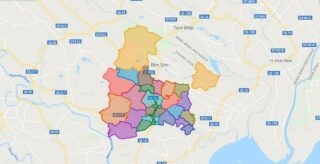
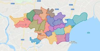
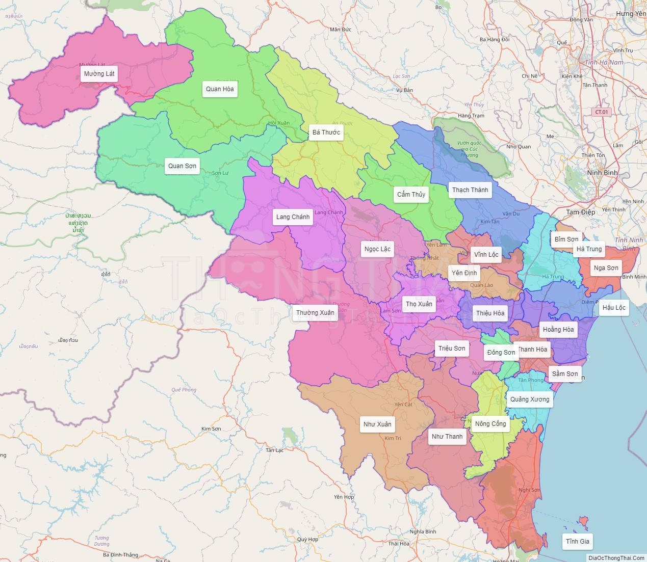
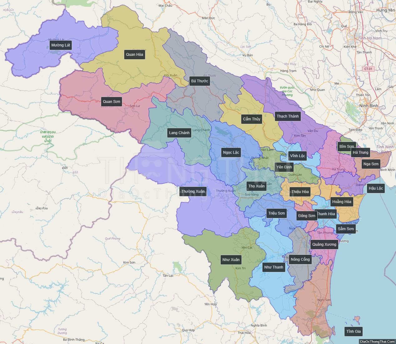
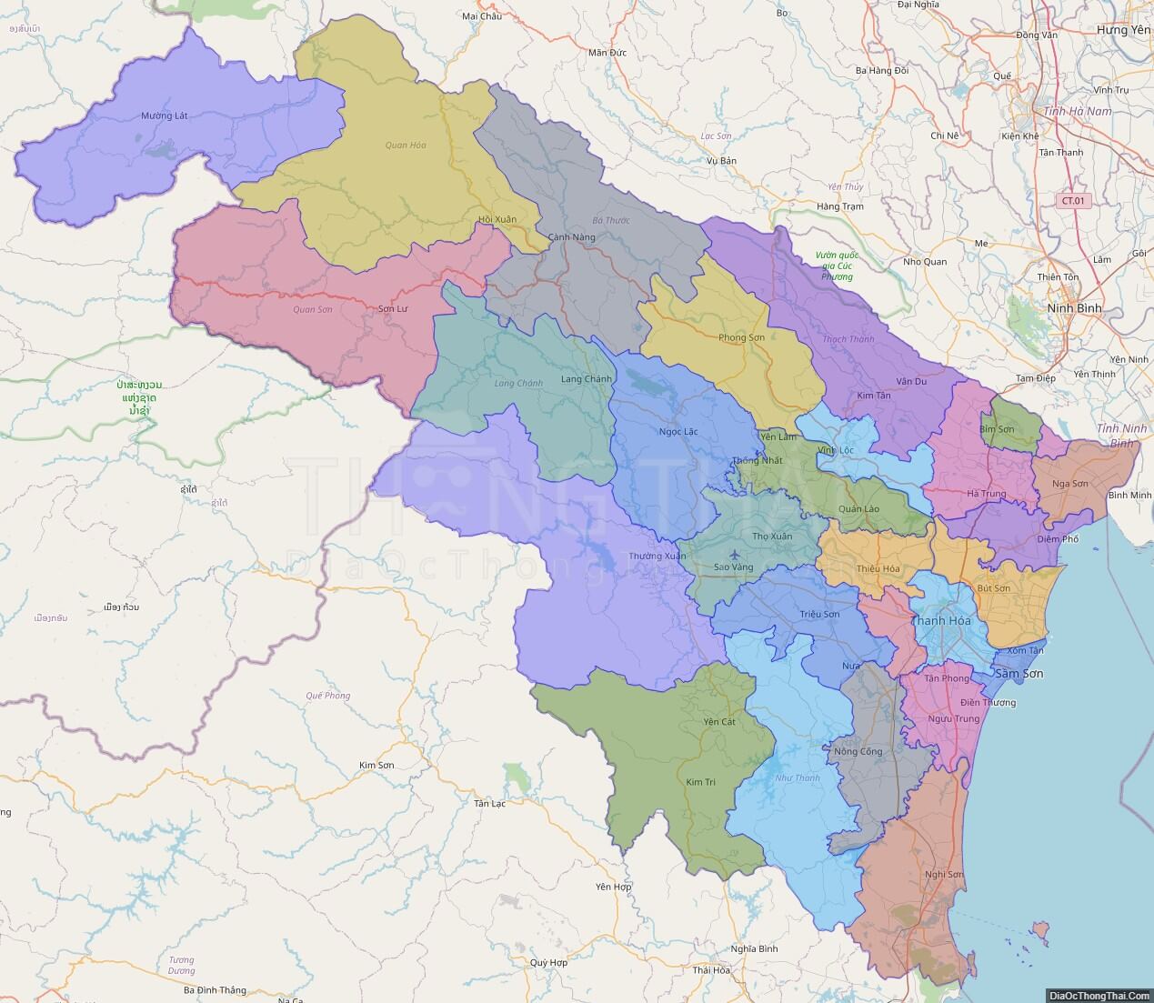
Thanh Hoa has one provincial municipality, two townships and 24 counties with area of 11,133.4 km2 and population of approximate 3.5 million. Sam Son township is a famous seaside resort situated 16 km from the Thanh Hoa city centre. Whilst, Bim Son township is a large industrial centre especially cement. The province is also home of many ethnic groups, in which the most seven ethnicities are Kinh, Muong, Thai, H’Mong, Dao, Tho, Kho-mu.
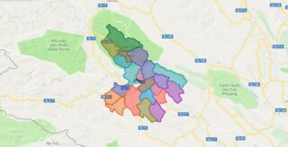
Political Map of Thanh Hoa province
Click on ![]() to view map in "full screen" mode.
to view map in "full screen" mode.
Base Map Layer: Open Street Map (OSM), Arcgisonline, Google Map, Wmflabs.
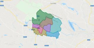
Large scale maps of Thanh Hoa province
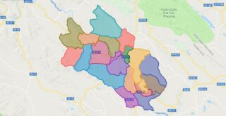
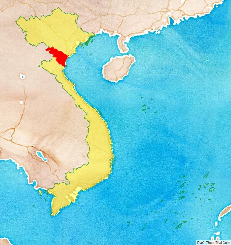
Thanh Hoa province location map
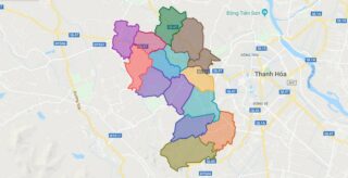
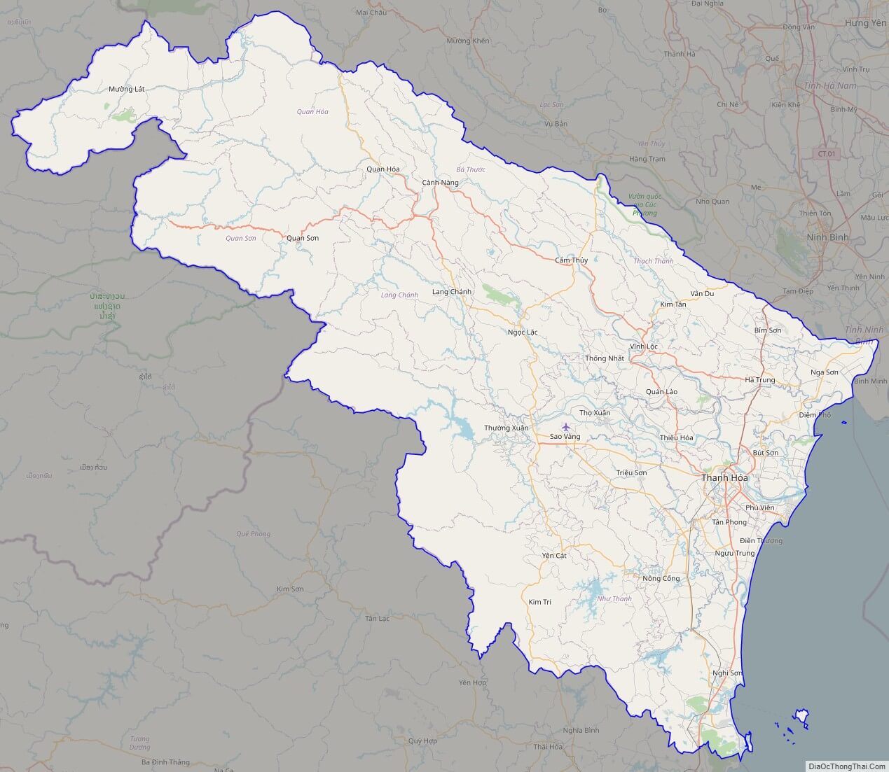
Thanh Hoa street map
Thanh Hoa satellite map