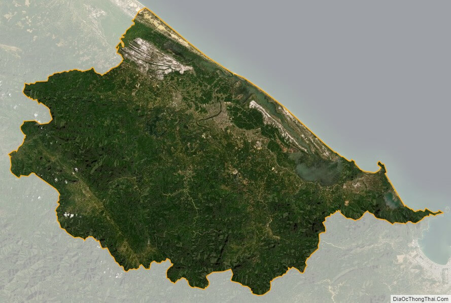
Thua Thien-Hue is a province in the North Central Coast region of Vietnam, approximately in the centre of the country. It borders Quang Tri Province to the north and Da Nang to the south, Laos to the west and the East Sea to the east. The province has 128 km of coastline, 22,000 ha of lagoons and over 200,000 ha of forest. There is an extensive complex of imperial tombs and temples in Hue.
The region’s history dates back some 2,800 years according to archaeological findings from the Sa Huynh Culture as well as from relics in the region. Dai Viet became an independent nation around 938 BC of which territorial conflict lasts for about four centuries between the Dai Viet and the Champa. The two provinces then changed their names to Thanh and Hoa. In 1307, Doan Nhu Hai was appointed by the emperor, Tran Anh Tong, to administer the area. The people from the north (Thanh Hoa) migrated south and integrated with the people of the Kingdom of Champa. During this time, had the settlement of Hoa Chau Province began, which included the area of present-day Thua Thien.
Between the settlement of Thuan Hoa (1306) to the founding of Phu Xuan (1687), there were conflicts and uncertainties for the local people, which including the fall of the Tran Dynasty to the renaissance of the Ho dynasty. Thuan Hoa and Phu Xuan became the location of the Dai Viet kingdom once Nguyen Hoang was appointed head of Thuan Hoa (1511–1558). Lord Nguyen Hoang (1558–1613) established bases at Ai Tu, Tra Bat and Dinh Cat, while his lords moved palaces to Kim Long, Thua Thien-Hue (1636), where they would eventually base their operations in Phu Xuan (1687). The Nguyen lords ruled the area until it taken over the Trinh clan in 1775. The farmers movement led by the Tay Son brothers gained momentum in 1771. The Tay Son insurgent army won the battle in Phu Xuan to take over the Nguyen capital in 1786, where they continued north and overthrew the Trinh Dynasty. In Phu Xuan, Nguyen Hue appointed himself king, and with internal differences with the Tay Son Movement and the death of Nguyen Hue (1792), Nguyen Anh took advantage of the situation and took over Gia Dinh with the support of foreign forces. Nguyen Hue attached to the Tay Son movement and took over Phu Xuan and the throne, thereby choosing the dynasty title of Gia Long (1802). Phu Xuan was again chosen as the capital of Vietnam until 1945’s August Revolution. Prior to 1975, the province was known simply as Thua Thien.
The province is known as an area of heavy fighting during the Vietnam War, as it was the second-most northerly province of the South Vietnam, close to the North Vietnamese border (DMZ) at the 17th parallel. More U.S. soldiers died in this province than in any other province in Vietnam (2,893). The Massacre at Hue occurred here; an estimated 2,800 to 6,000 civilians and Army of the Republic of Vietnam (ARVN) prisoners of war (POWs) were slaughtered by the Viet Cong. Thua Thien-Hue province saw a large influx of North Vietnamese settlers soon after the Vietnam War ended, as with the rest of the former South. This province and neighbouring Quang Nam Province suffered greatly from flooding in November 1999.
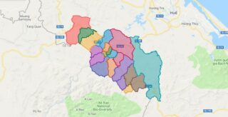
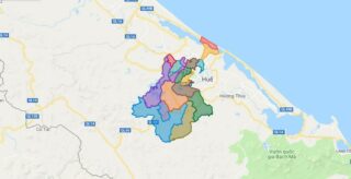
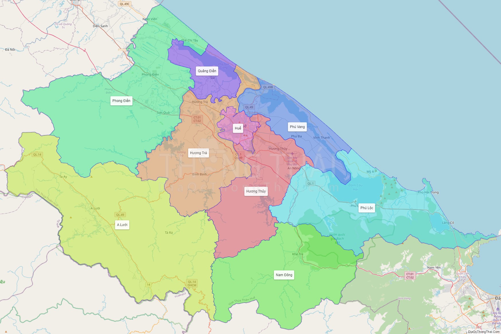
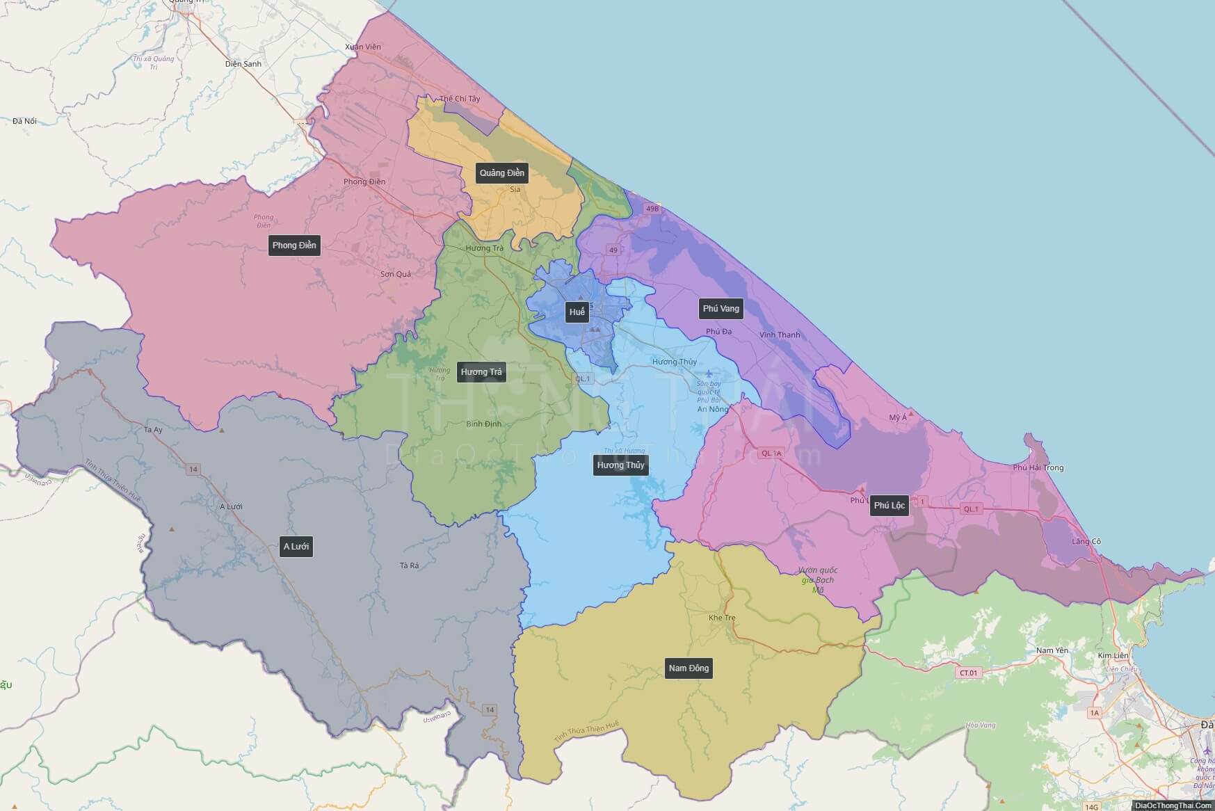
Political Map of Thua Thien – Hue province
Click on ![]() to view map in "full screen" mode.
to view map in "full screen" mode.
Base Map Layer: Open Street Map (OSM), Arcgisonline, Google Map, Wmflabs.
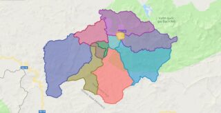
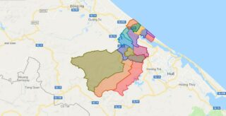
Large scale maps of Thua Thien – Hue province
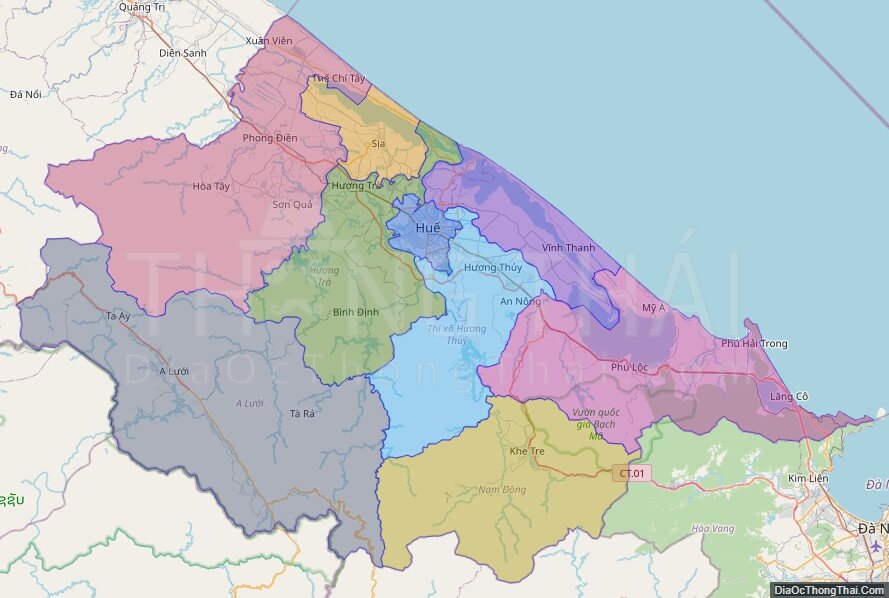
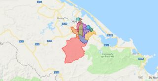
Thua Thien – Hue province location map

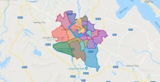
Thua Thien – Hue street map

Thua Thien – Hue satellite map