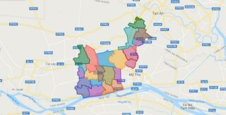
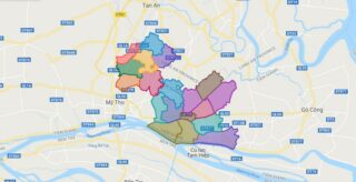
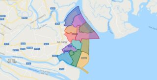
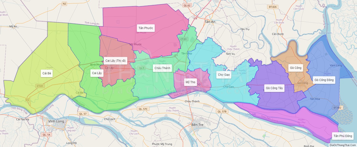
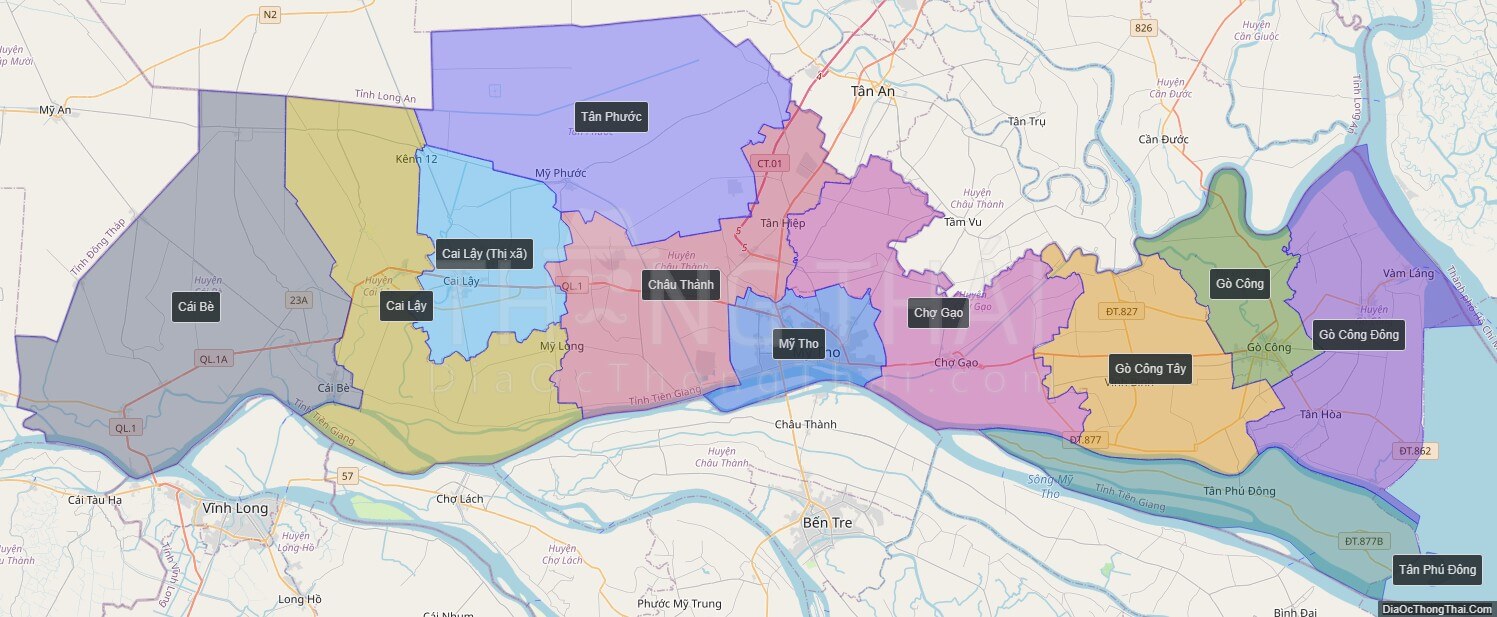
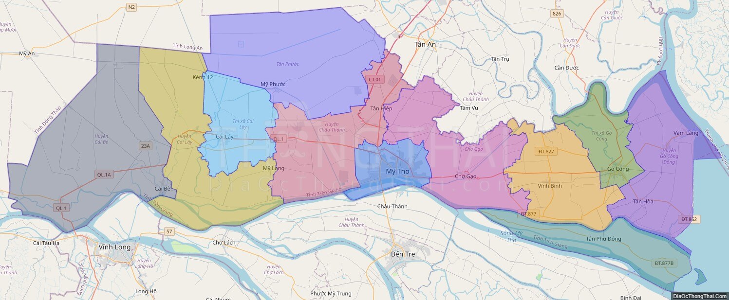
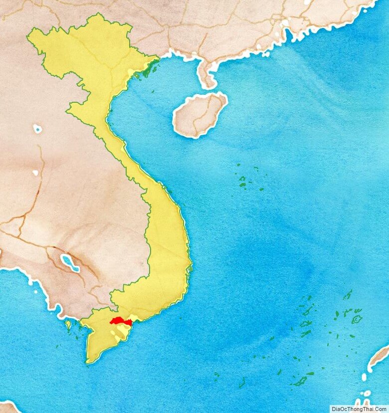
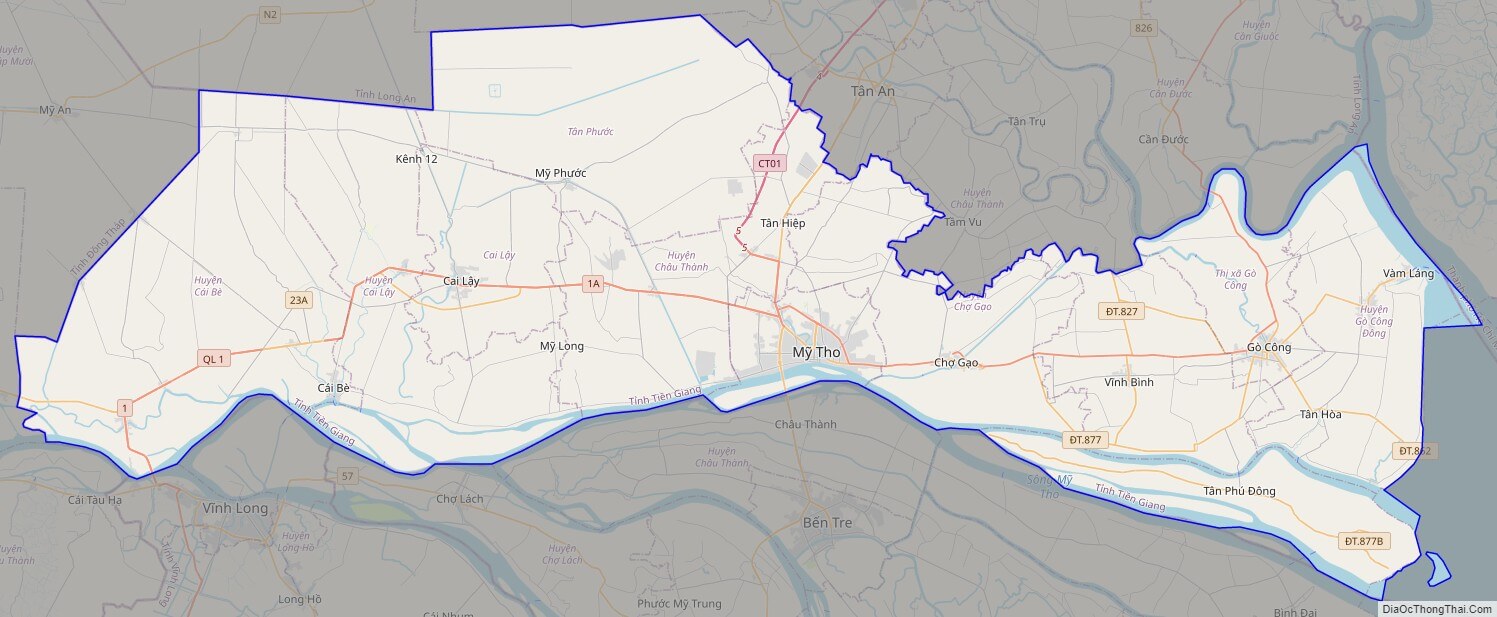
Tien Giang is a province in the Mekong Delta region of southern Vietnam.
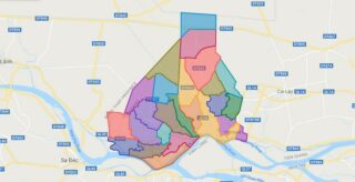
Tien Giang is subdivided into 11 district-level sub-divisions:
* 8 districts:
* Cai Be
* Cai Lay
* Chau Thanh
* Cho Gao
* Go Cong Dong
* Go Cong Tay
* Tan Phu Dong
Political Map of Tien Giang province
Click on ![]() to view map in "full screen" mode.
to view map in "full screen" mode.
Base Map Layer: Open Street Map (OSM), Arcgisonline, Google Map, Wmflabs.
Large scale maps of Tien Giang province
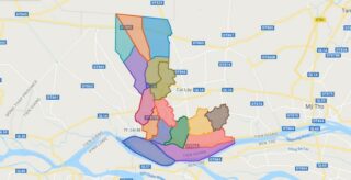
Tien Giang province location map
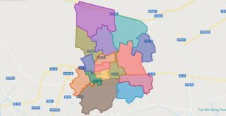
Tien Giang street map
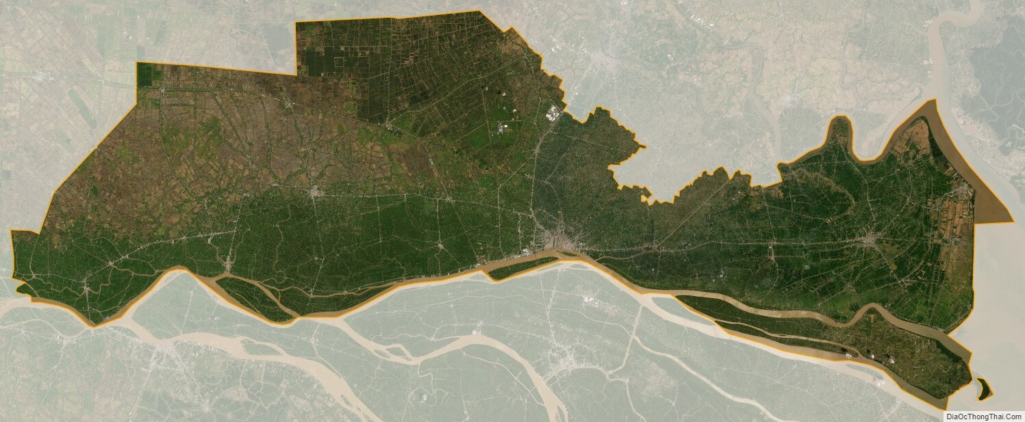
Tien Giang satellite map