Map of Perryville CDP

Map of Perryville CDP, Alaska

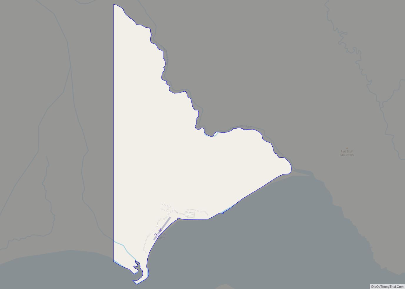
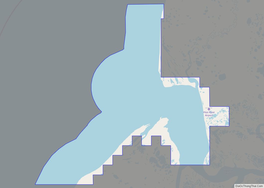
Perryville (Alutiiq: Perry-q) is a census-designated place (CDP) in Lake and Peninsula Borough, Alaska, United States. The population was 88 at the 2020 census, down from 113 in 2010. Perryville CDP overview: Name: Perryville CDP LSAD Code: 57 LSAD Description: CDP (suffix) State: Alaska County: Lake and Peninsula Borough Total Area: 11.18 sq mi (28.94 km²) Land Area: … Read more

Map of Pelican city

Map of Pelican city

Pelican (Tlingit: K’udeis’x̱’e) is a city in the northwestern part of Chichagof Island in Hoonah-Angoon Census Area in the U.S. state of Alaska. As of the 2010 census, the population of the city was 88, down from 163 at the 2000 census. Pelican city overview: Name: Pelican city LSAD Code: 25 LSAD Description: city (suffix) … Read more

Map of Pedro Bay CDP

Map of Pedro Bay CDP

Pedro Bay is a census-designated place (CDP) in Lake and Peninsula Borough, Alaska, United States. The population was 43 as of the 2020 census, slightly up from 42 in 2010. Pedro Bay CDP overview: Name: Pedro Bay CDP LSAD Code: 57 LSAD Description: CDP (suffix) State: Alaska County: Lake and Peninsula Borough Total Area: 23.29 sq mi … Read more

Map of Petersville CDP

Map of Petersville CDP

Petersville is a census-designated place (CDP) in Matanuska-Susitna Borough, Alaska, United States. It is part of the Anchorage Metropolitan Area. The population was 27 at the 2020 census. Petersville CDP overview: Name: Petersville CDP LSAD Code: 57 LSAD Description: CDP (suffix) State: Alaska County: Matanuska-Susitna Borough Elevation: 1,617 ft (493 m) Total Area: 462.50 sq mi (1,197.87 km²) Land Area: … Read more

Map of Petersburg CDP

Map of Petersburg CDP, Alaska

Petersburg (Tlingit: Séet Ká or Gantiyaakw Séedi “Steamboat Channel”) is a census-designated place (CDP) in and essentially the borough seat of Petersburg Borough, Alaska, United States. The population was 3,043 at the 2020 census, up from 2,948 in 2010. The borough encompasses Petersburg and Kupreanof, plus mostly uninhabited areas stretching to the Canadian–American border and … Read more

Map of Pilot Point city

Map of Pilot Point city, Alaska

Pilot Point (Alutiiq: Agisaq) is a city in Lake and Peninsula Borough, Alaska, United States, on the Alaska Peninsula. As of the 2020 census, the population of the city was 70, up from 68 in 2010. Pilot Point city overview: Name: Pilot Point city LSAD Code: 25 LSAD Description: city (suffix) State: Alaska County: Lake … Read more

Map of Platinum city

Map of Platinum city

Platinum (Central Yupik: Arviiq) is a city in Bethel Census Area, Alaska, United States. The population was 61 at the 2010 census, up from 41 in 2000. Platinum city overview: Name: Platinum city LSAD Code: 25 LSAD Description: city (suffix) State: Alaska County: Bethel Census Area Incorporated: February 13, 1975 Elevation: 13 ft (4 m) Total Area: … Read more

Map of Pitkas Point CDP

Map of Pitkas Point CDP

Pitkas Point (Central Yupik: Negeqliim Painga) is a census-designated place (CDP) in Kusilvak Census Area, Alaska, United States. The population was 109 at the 2010 census, down from 125 in 2000. Pitkas Point CDP overview: Name: Pitkas Point CDP LSAD Code: 57 LSAD Description: CDP (suffix) State: Alaska County: Kusilvak Census Area Total Area: 1.61 sq mi … Read more

Map of Pilot Station city

Map of Pilot Station city

Pilot Station (Central Yupik: Tuutalgaq) is a city in Kusilvak Census Area, Alaska, United States. The population was 568 at the 2010 census, up from 550 in 2000. Pilot Station city overview: Name: Pilot Station city LSAD Code: 25 LSAD Description: city (suffix) State: Alaska County: Kusilvak Census Area Incorporated: October 6, 1969 Elevation: 33 ft … Read more

Map of Point Hope city

Map of Point Hope city

Point Hope (Inupiaq: Tikiġaq, IPA: [tikeʁɑq]) is a city in North Slope Borough, Alaska, United States. At the 2010 census the population was 674, down from 757 in 2000. In the 2020 Census, the population rose to 830. Like many isolated communities in Alaska, the city has no road or rail connections to the outside world, … Read more

Map of Point Baker CDP

Map of Point Baker CDP, Alaska

Point Baker (Lingít: X̱aaséedák’u) is a census-designated place (CDP) in Prince of Wales-Hyder Census Area, Alaska, United States. The population was 12 at the 2020 census, down from 15 in 2010 and 35 in 2000. Point Baker CDP overview: Name: Point Baker CDP LSAD Code: 57 LSAD Description: CDP (suffix) State: Alaska County: Prince of … Read more

Map of Pleasant Valley CDP

Map of Pleasant Valley CDP, Alaska

Pleasant Valley is a census-designated place (CDP) in Fairbanks North Star Borough, Alaska, United States. It is part of the Fairbanks, Alaska Metropolitan Statistical Area. The population was 725 at the 2010 census, up from 623 at the 2000 census. Pleasant Valley CDP overview: Name: Pleasant Valley CDP LSAD Code: 57 LSAD Description: CDP (suffix) … Read more