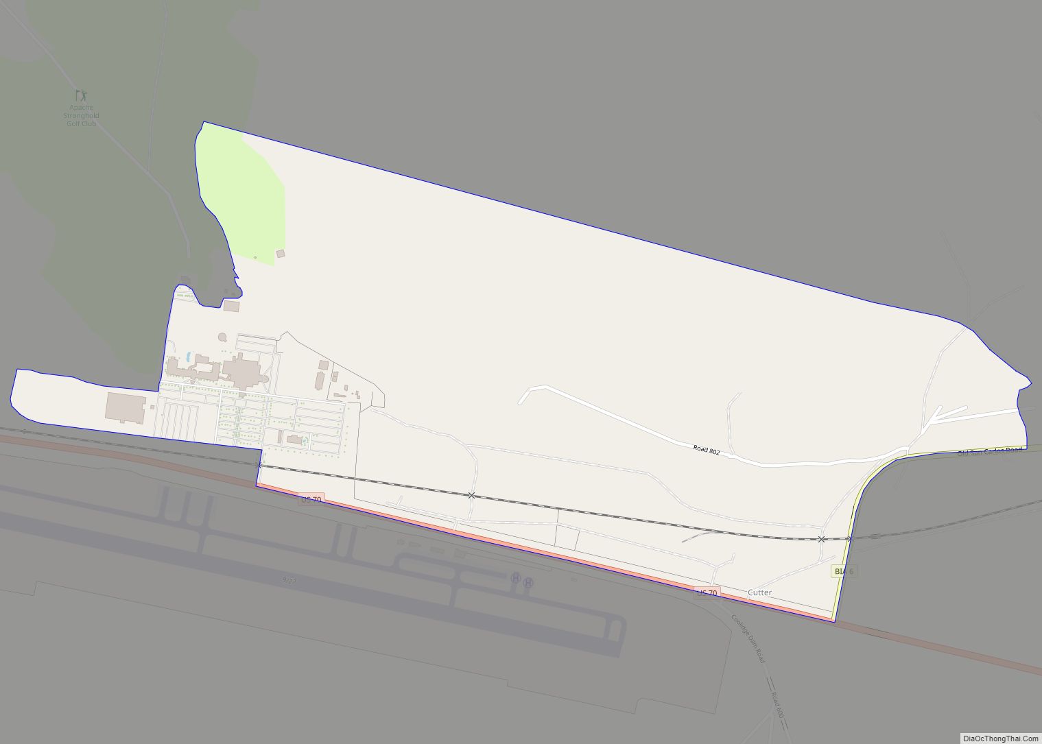
Cutter is a census-designated place in Gila County in the U.S. state of Arizona. Cutter is located just off US Route 70, east of the city of Globe. The population as of the 2010 U.S. Census was 74. Cutter CDP overview: Name: Cutter CDP LSAD Code: 57 LSAD Description: CDP (suffix) State: Arizona County: Gila ... Read more
Arizona Cities and Places
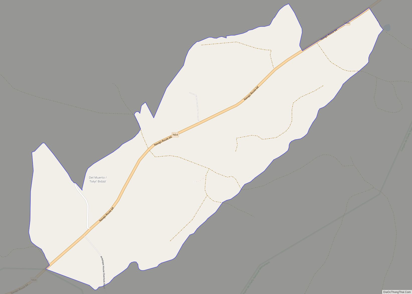
Del Muerto is a census-designated place (CDP) in Apache County, Arizona, United States. The population was 329 at the 2010 census. Del Muerto CDP overview: Name: Del Muerto CDP LSAD Code: 57 LSAD Description: CDP (suffix) State: Arizona County: Apache County Elevation: 6,440 ft (1,960 m) Total Area: 1.19 sq mi (3.08 km²) Land Area: 1.19 sq mi (3.08 km²) Water Area: 0.00 sq mi ... Read more
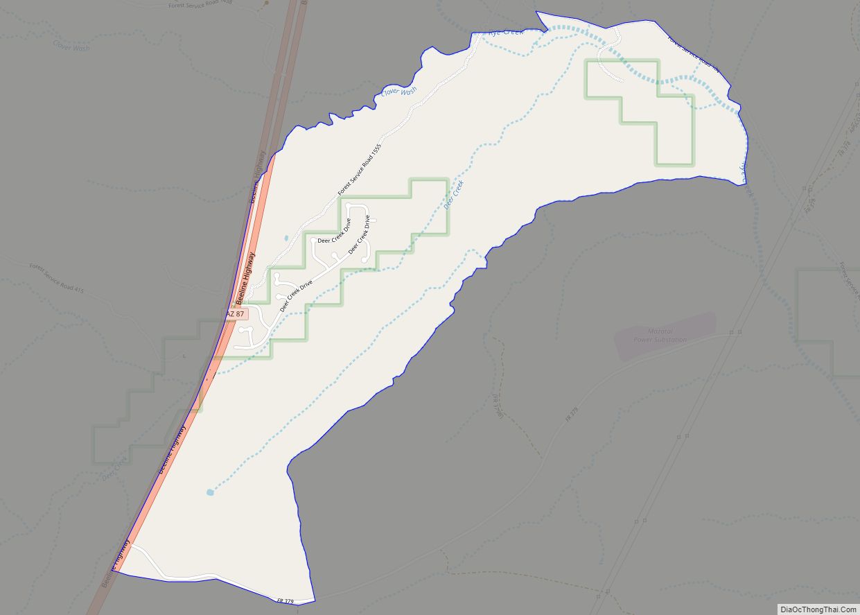
Deer Creek is a census-designated place in Gila County in the U.S. state of Arizona. Deer Creek is located almost directly between the community of Tonto Basin and the town of Payson near Arizona State Route 87. The population as of the 2010 U.S. Census was 216. Deer Creek CDP overview: Name: Deer Creek CDP ... Read more
Dateland is both a CDP and a populated place in Yuma County, Arizona, United States. It is in an area well known for date palm dates. Dateland has the ZIP Code of 85333; in 2000, the population of the 85333 ZCTA was 852. The community is part of the Yuma Metropolitan Statistical Area. The Dateland ... Read more
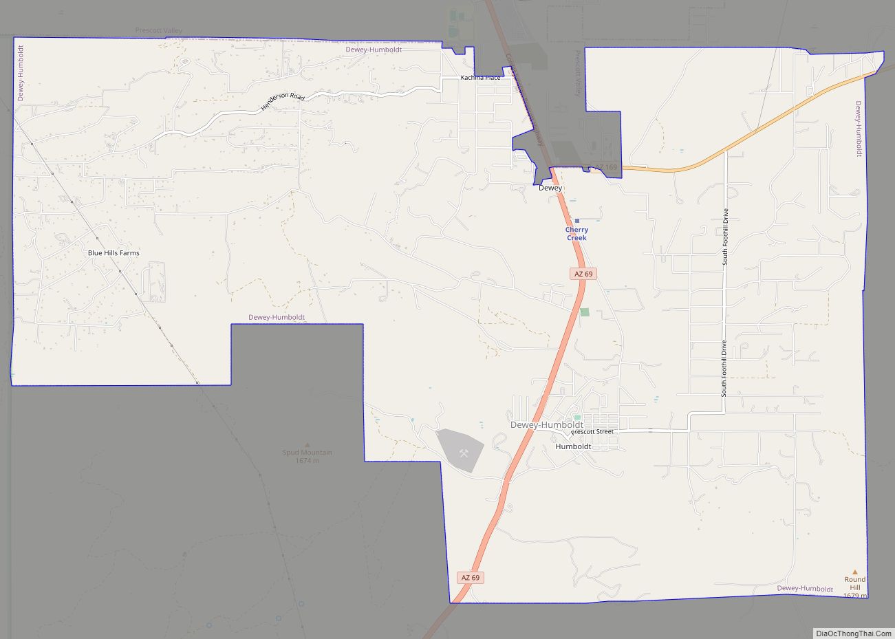
Dewey–Humboldt is a town in Yavapai County, Arizona, United States. The population of the town was 3,894 according to the 2010 census. The Dewey–Humboldt area was a census-designated place (CDP) at the 2000 census, at which time its population was 6,295. Dewey-Humboldt town overview: Name: Dewey-Humboldt town LSAD Code: 43 LSAD Description: town (suffix) State: ... Read more
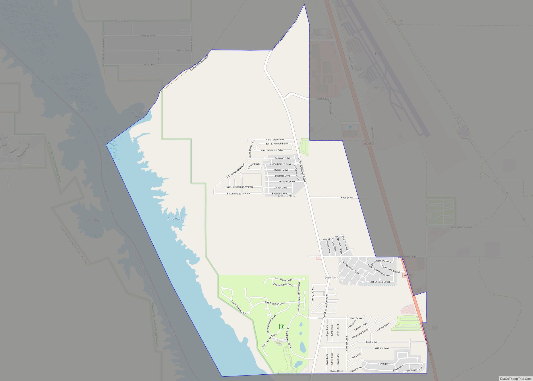
Desert Hills is an unincorporated community and census-designated place (CDP) in Mohave County, Arizona, United States. The population was 2,764 at the 2020 census, up from 2,245 at the 2010 census. Desert Hills CDP overview: Name: Desert Hills CDP LSAD Code: 57 LSAD Description: CDP (suffix) State: Arizona County: Mohave County Elevation: 542 ft (165 m) Total ... Read more
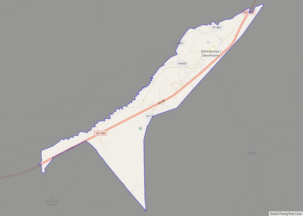
Dennehotso (Navajo: Deinihootso) is a census-designated place (CDP) in Apache County, Arizona, United States. The population was 746 at the 2010 census. Dennehotso CDP overview: Name: Dennehotso CDP LSAD Code: 57 LSAD Description: CDP (suffix) State: Arizona County: Apache County Elevation: 5,015 ft (1,529 m) Total Area: 9.96 sq mi (25.80 km²) Land Area: 9.95 sq mi (25.78 km²) Water Area: 0.01 sq mi (0.03 km²) ... Read more
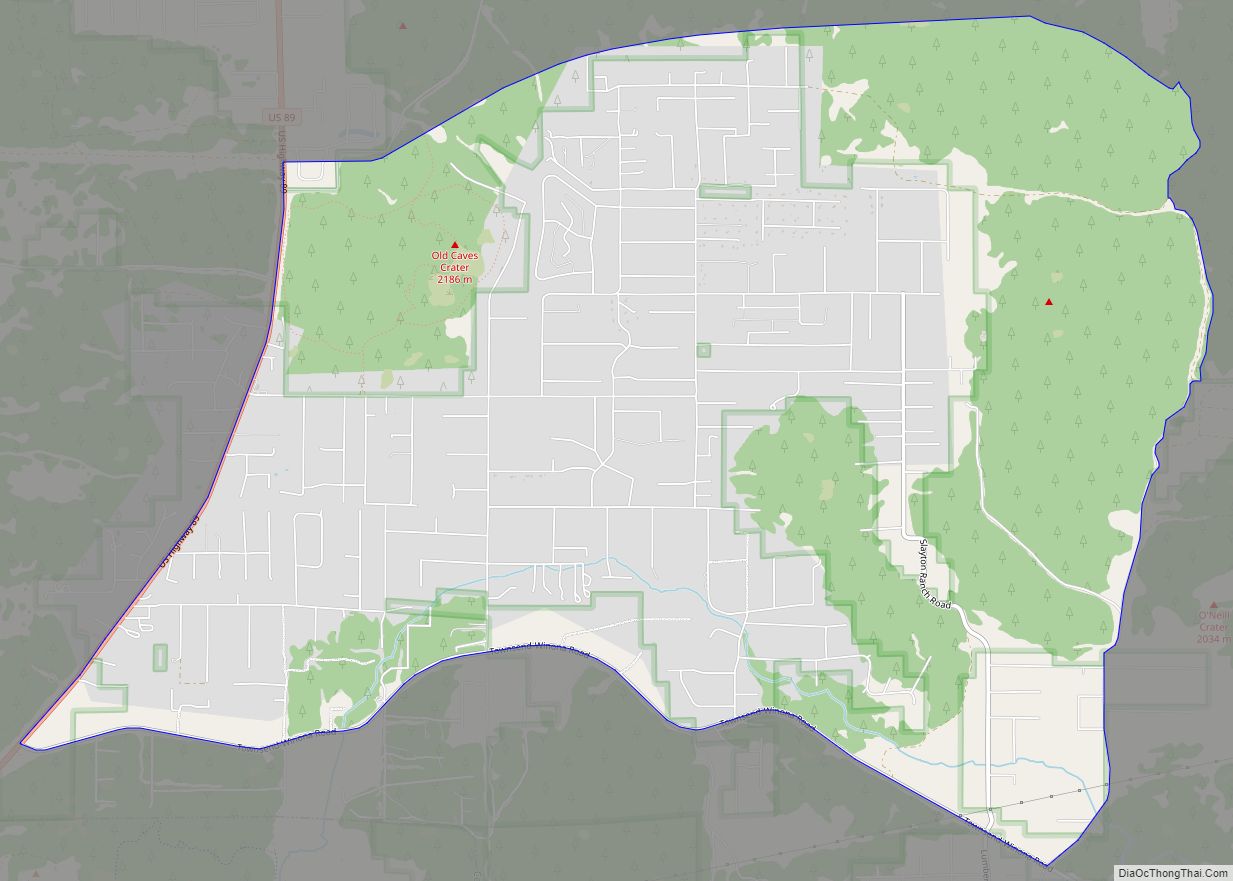
Doney Park is a census-designated place in Coconino County, Arizona, United States. It is a residential area northeast of Flagstaff, located off U.S. Route 89 and is in the 86004 zip code. The area is named for Kevin Doney, a northern Arizona pioneer. Many of the homes in this community are on lots of one ... Read more
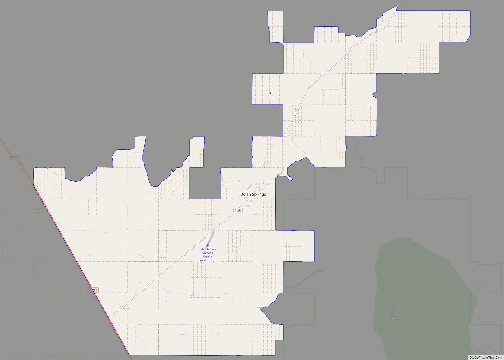
Dolan Springs is an unincorporated community and census-designated place (CDP) in Mohave County, Arizona, United States. The population was 1,989 at the 2020 census, down from 2,033 at the 2010 census. Dolan Springs CDP overview: Name: Dolan Springs CDP LSAD Code: 57 LSAD Description: CDP (suffix) State: Arizona County: Mohave County Elevation: 3,400 ft (1,036 m) Total ... Read more
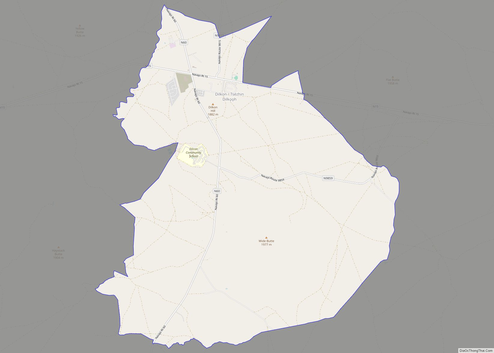
Dilkon (Navajo: Tsézhin Dilkǫǫh) is a census-designated place (CDP) in Navajo County, Arizona, United States. The population was 1,184 at the 2010 census. The name of the town is said to be derived from the Navajo phrase “Smooth black rock” or “Bare surface.” Dilkon CDP overview: Name: Dilkon CDP LSAD Code: 57 LSAD Description: CDP ... Read more
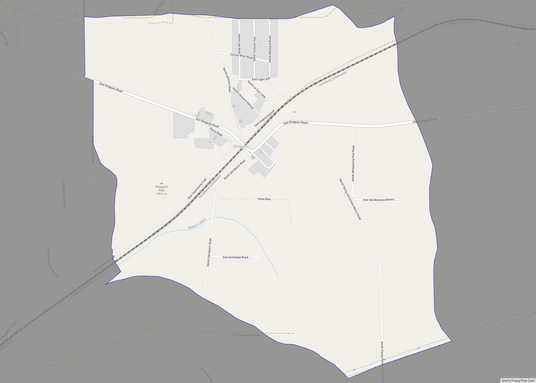
Dragoon is an unincorporated community and census-designated place (CDP) in Cochise County, Arizona, United States. As of the 2010 census it had a population of 209. Dragoon is 17 miles (27 km) east-northeast of the city of Benson. Dragoon has the ZIP code of 85609. Dragoon CDP overview: Name: Dragoon CDP LSAD Code: 57 LSAD Description: ... Read more
Douglas is a city in Cochise County, Arizona, United States that lies in the north-west to south-east running Sulpher Springs Valley. Douglas has a border crossing with Mexico at Agua Prieta and a history of mining. The population was 16,531 in the 2020 Census. Douglas city overview: Name: Douglas city LSAD Code: 25 LSAD Description: ... Read more
