Douglas is a city in Cochise County, Arizona, United States that lies in the north-west to south-east running Sulpher Springs Valley. Douglas has a border crossing with Mexico at Agua Prieta and a history of mining.
The population was 16,531 in the 2020 Census.
| Name: | Douglas city |
|---|---|
| LSAD Code: | 25 |
| LSAD Description: | city (suffix) |
| State: | Arizona |
| County: | Cochise County |
| Incorporated: | May 15, 1905 |
| Elevation: | 4,032 ft (1,229 m) |
| Total Area: | 9.98 sq mi (25.85 km²) |
| Land Area: | 9.98 sq mi (25.85 km²) |
| Water Area: | 0.00 sq mi (0.00 km²) |
| Total Population: | 16,534 |
| Population Density: | 1,656.88/sq mi (639.72/km²) |
| ZIP code: | 85607, 85608, 85655 |
| Area code: | 520 |
| FIPS code: | 0420050 |
| Website: | www.douglasaz.gov |
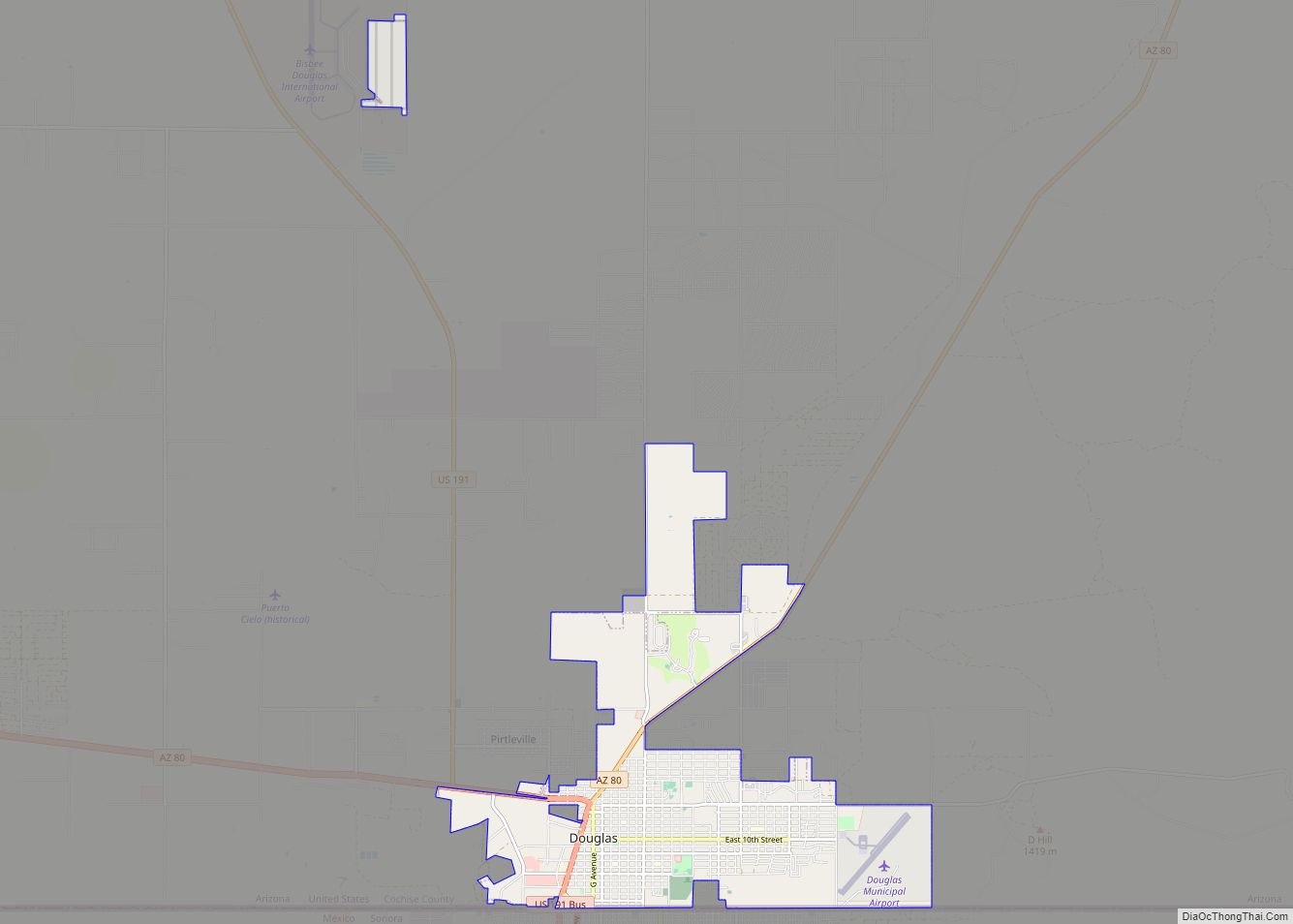
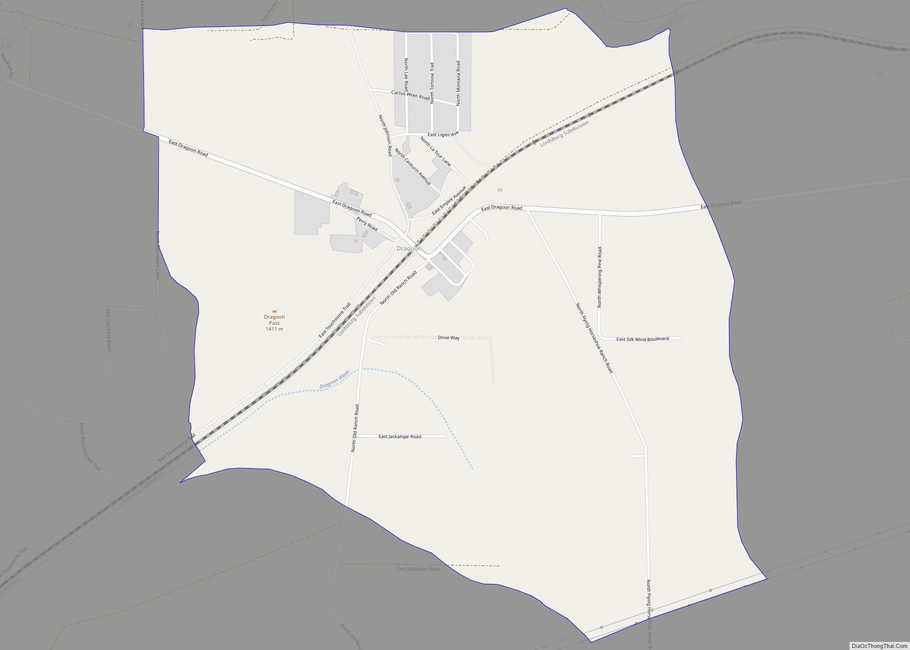
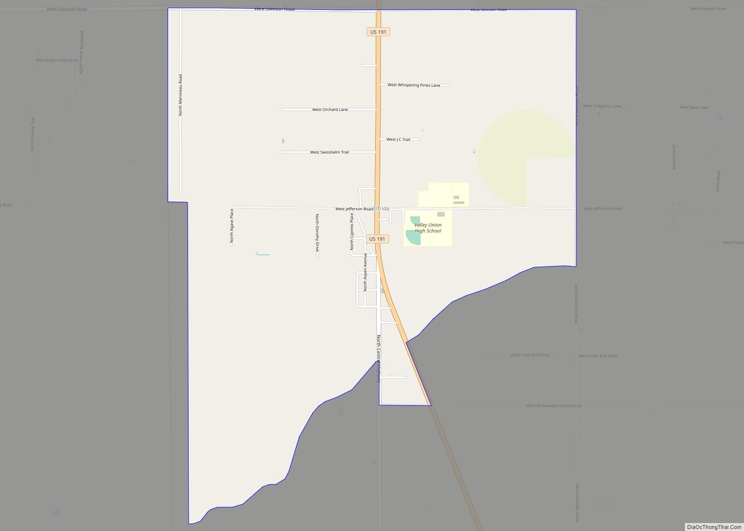
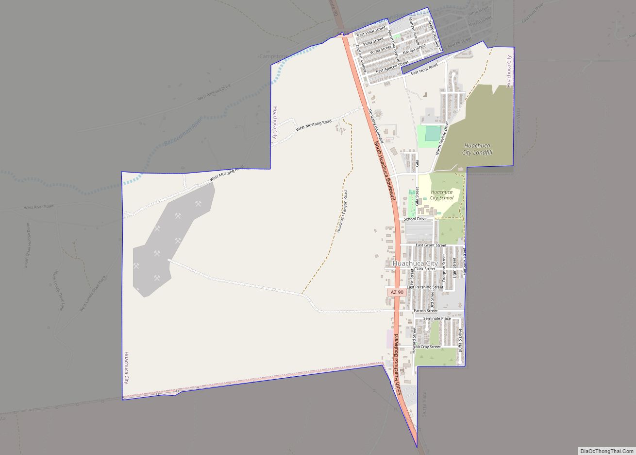
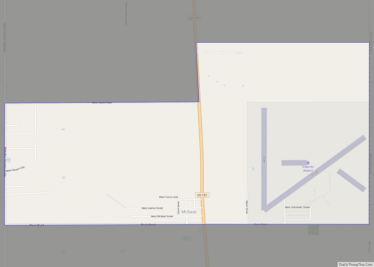
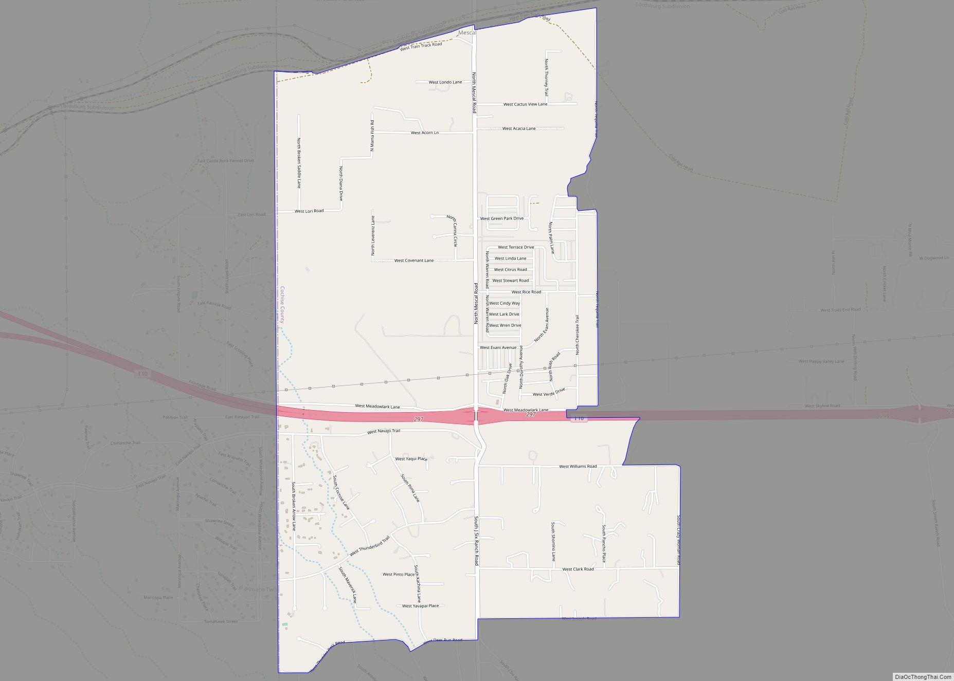
Online Interactive Map
Click on ![]() to view map in "full screen" mode.
to view map in "full screen" mode.
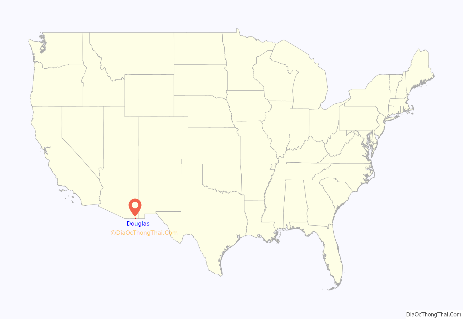
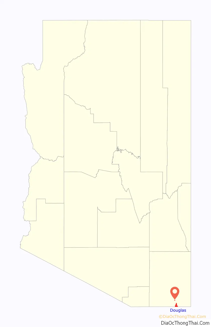
Douglas location map. Where is Douglas city?
History
The Douglas area was first settled by the Spanish in the 18th century. Presidio de San Bernardino was established in 1776 and abandoned in 1780. It was located a few miles east of present-day Douglas. The United States Army established Camp San Bernardino in the latter half of the 19th century near the presidio, and in 1910 Camp Douglas was built next to the town.
Douglas was founded as an American smelter town, to treat the copper ores of nearby Bisbee, Arizona. The town is named after mining pioneer Dr. James Douglas and was incorporated in 1905. Two copper smelters operated at the site. The Calumet and Arizona Company Smelter was built in 1902. The Copper Queen operated in Douglas from 1904 until 1931, when the Phelps Dodge Corporation purchased the Calumet and Arizona Company and took over their smelter. The Calumet and Arizona smelter then became the Douglas Reduction Works. Douglas was the site of the Phelps-Dodge Corporation Douglas Reduction Works until its closure in 1987. The smoke stacks of the smelter were not taken down until January 13, 1991. The town was a site of the Arizona Copper Mine Strike of 1983.
The “Cowboys Home Saloon” was the location of the fatal shooting of bar owner Lorenzo “Lon” Bass. The accused was Arizona Ranger William W. Webb. The date was February 8, 1903.
In 1916, the Mexican revolutionary leader Pancho Villa threatened to attack Douglas, believing Americans responsible for his defeat at the Second Battle of Agua Prieta.
On June 23, 1926, missing evangelist Aimee Semple McPherson was found collapsed near a road at the adjacent Mexican town of Agua Prieta. She was driven into Douglas and told a story of kidnap, torture and escape as she convalesced at Calumet Hospital. There, large crowds gathered, anxious to see the famous Canadian-American celebrity minister. She had earlier disappeared from a beach near Los Angeles and was believed drowned. For a period of several weeks, Douglas enjoyed a brisk tourist boom as police, reporters and others visited the town and the nearby desert to investigate her story. The Los Angeles Times wrote, “Mrs. McPherson put Douglas square on the map and the citizens here appear grateful that it was in Douglas she sought refuge.”
In 1989, the Sinaloa Cartel dug a 300-foot (91-metre) tunnel between a house in Agua Prieta to a warehouse located in Douglas that it used to smuggle drugs across the international border. It was discovered in May 1990. Following its discovery, the Cartel refocused their smuggling operations towards Tijuana and Otay Mesa, San Diego where it acquired a warehouse in 1992. Other tunnels would also later be built in Arizona including sites at Naco and Nogales.
The town has been physically divided from Agua Prieta with a tall border wall built under President George W. Bush. Further construction was completed under President Donald J. Trump along the border.
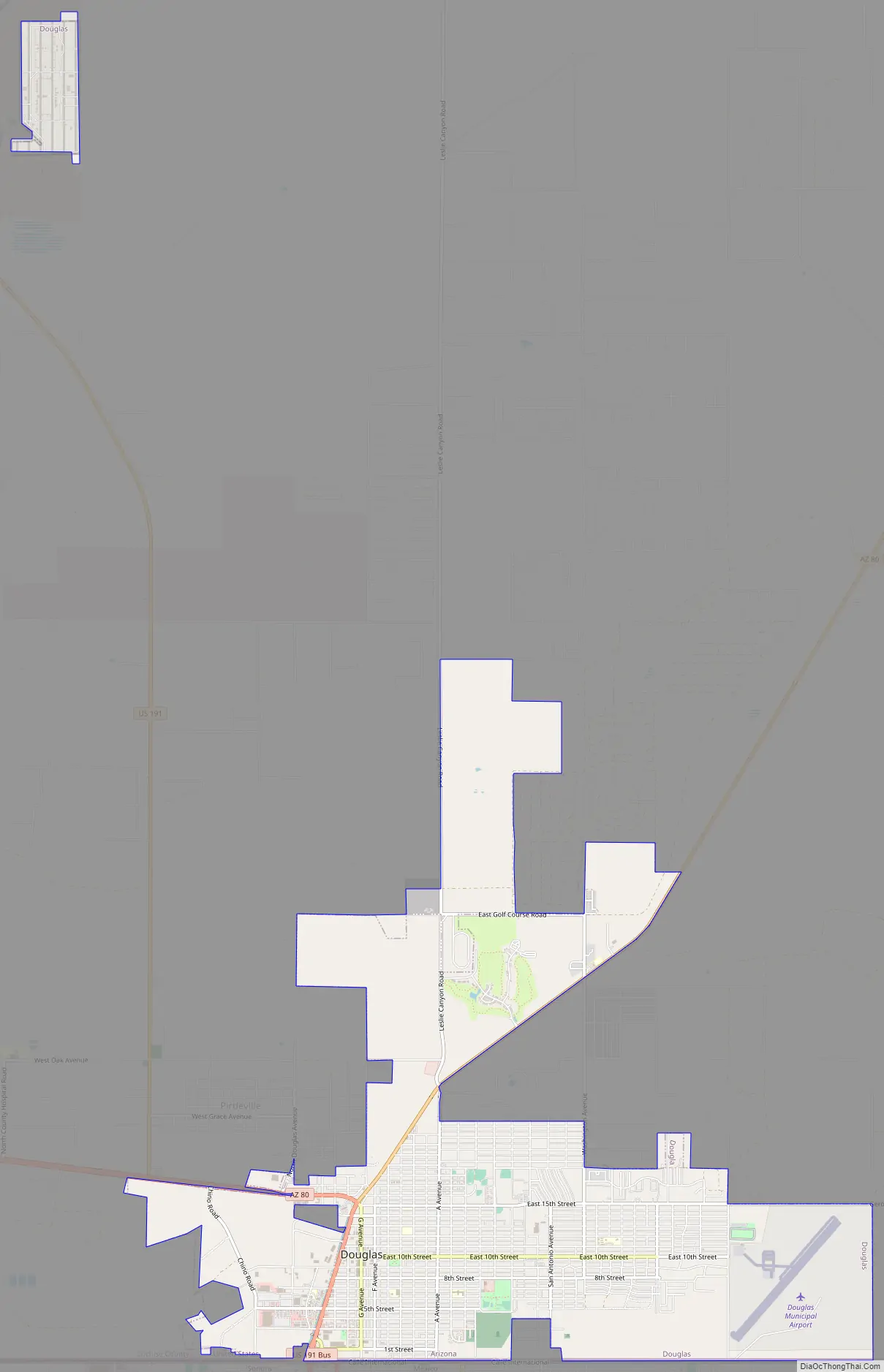
Douglas Road Map
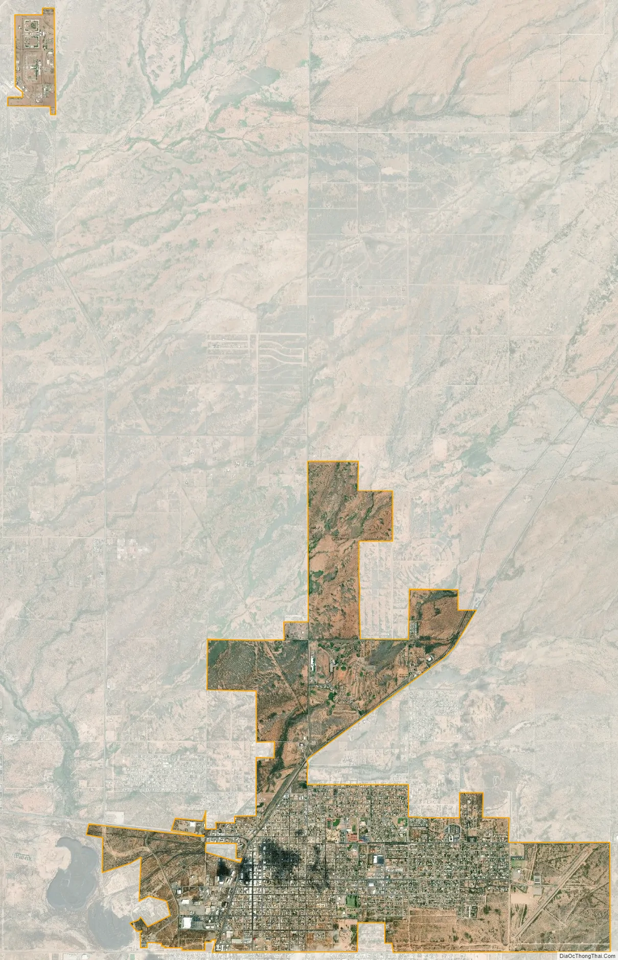
Douglas city Satellite Map
Geography
Douglas is located near the southeastern corner of Arizona on the U.S.-Mexico border, across from the city of Agua Prieta, Sonora.
U.S. Route 191 leads north from Douglas 69 miles (111 km) to Interstate 10 near Willcox. Arizona State Route 80 leads west 26 miles (42 km) to Bisbee and northeast 80 miles (130 km) to Interstate 10 in New Mexico.
Climate
Douglas has a semi-arid steppe climate, which is cooler and wetter than a typical arid climate classification. In the winter months, Douglas averages in the mid to upper 60s °F (17–21 °C), with both January and February averaging daily highs of 64 °F (18 °C). Lows typically settle just below the freezing mark on a majority of nights, but it is not uncommon to see temperatures tumble below 25 °F (−4 °C) on some winter nights.
On the other hand, in the summer months, highs average between 90 and 100 °F (32 and 38 °C), with the month of June being the hottest with an average daytime high of 97 °F (36 °C). Nighttime lows for the summer months remain in the upper 50s and mid 60s °F (14–18 °C) for the duration of the season. June and July typically see 6 inches (150 mm) or more of combined rainfall, which brings the average annual precipitation for Douglas to about 14 inches (360 mm).
Douglas’ all-time highest recorded temperature is 111 °F (44 °C) which was reached in July 1905. The all-time low temperature was −7 °F (−22 °C), which occurred in January 1913.
See also
Map of Arizona State and its subdivision: Map of other states:- Alabama
- Alaska
- Arizona
- Arkansas
- California
- Colorado
- Connecticut
- Delaware
- District of Columbia
- Florida
- Georgia
- Hawaii
- Idaho
- Illinois
- Indiana
- Iowa
- Kansas
- Kentucky
- Louisiana
- Maine
- Maryland
- Massachusetts
- Michigan
- Minnesota
- Mississippi
- Missouri
- Montana
- Nebraska
- Nevada
- New Hampshire
- New Jersey
- New Mexico
- New York
- North Carolina
- North Dakota
- Ohio
- Oklahoma
- Oregon
- Pennsylvania
- Rhode Island
- South Carolina
- South Dakota
- Tennessee
- Texas
- Utah
- Vermont
- Virginia
- Washington
- West Virginia
- Wisconsin
- Wyoming