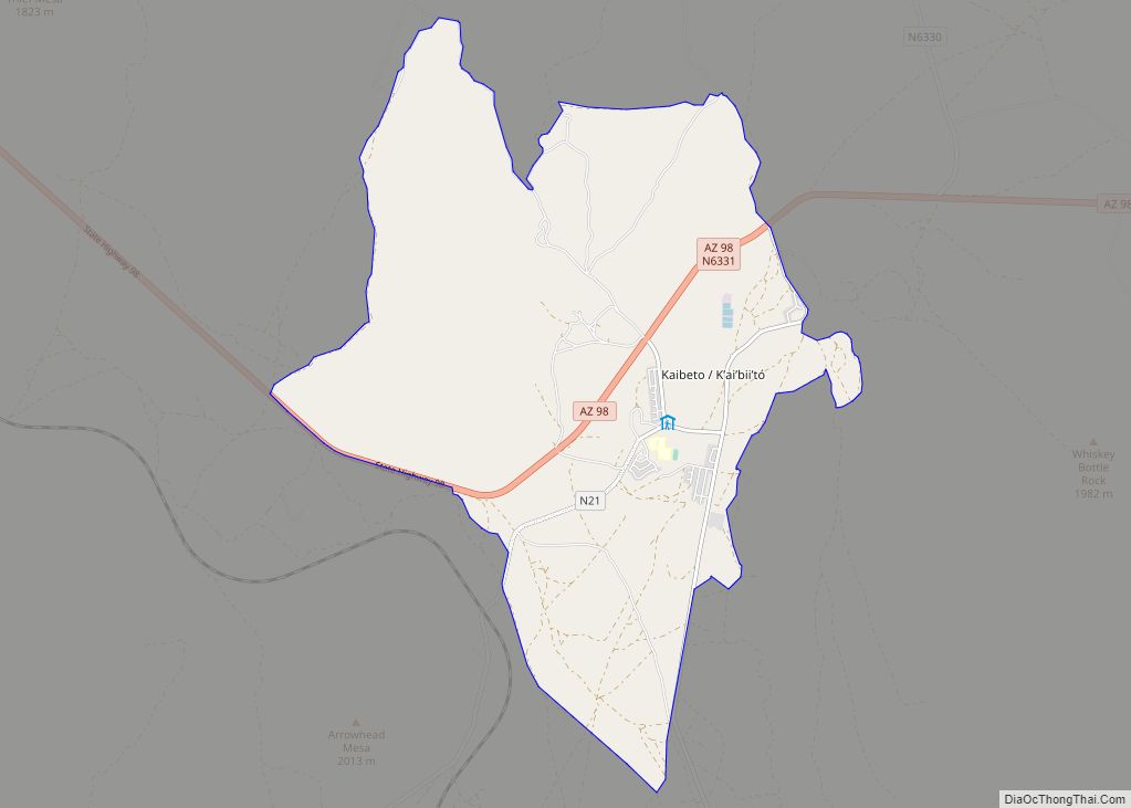
Kaibeto (Navajo: Kʼaiʼbiiʼtó) is a census-designated place (CDP) in Coconino County, Arizona, United States. The population was 1,522 at the 2010 census. Kaibito CDP overview: Name: Kaibito CDP LSAD Code: 57 LSAD Description: CDP (suffix) State: Arizona County: Coconino County Elevation: 5,810 ft (1,771 m) Total Area: 15.90 sq mi (41.18 km²) Land Area: 15.90 sq mi (41.18 km²) Water Area: 0.00 sq mi (0.00 km²) ... Read more
Arizona Cities and Places
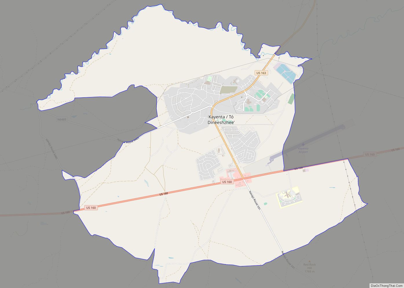
Kayenta (Navajo: Tó Dínéeshzheeʼ) is a U.S. town which is part of the Navajo Nation and is in Navajo County, Arizona, United States. Established November 13, 1986, the Kayenta Township is the only “township” existing under the laws of the Navajo Nation, making it unique in this way. The population was 5,189 at the 2010 ... Read more
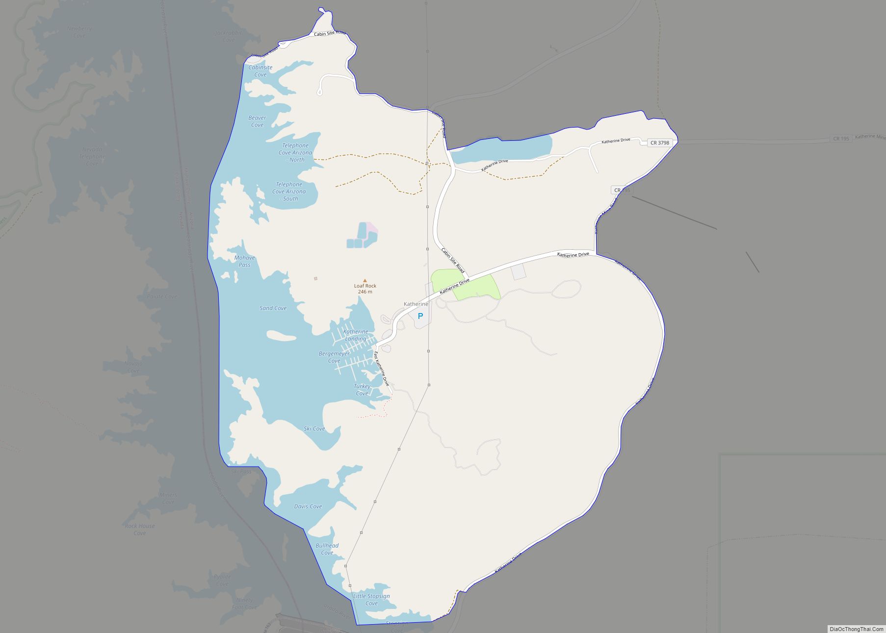
Katherine is an unincorporated community and census-designated place (CDP) in Mohave County, Arizona, United States. The population was 76 at the 2020 census, down from 103 at the 2010 census. Katherine CDP overview: Name: Katherine CDP LSAD Code: 57 LSAD Description: CDP (suffix) State: Arizona County: Mohave County Elevation: 686 ft (209 m) Total Area: 4.62 sq mi (11.97 km²) ... Read more
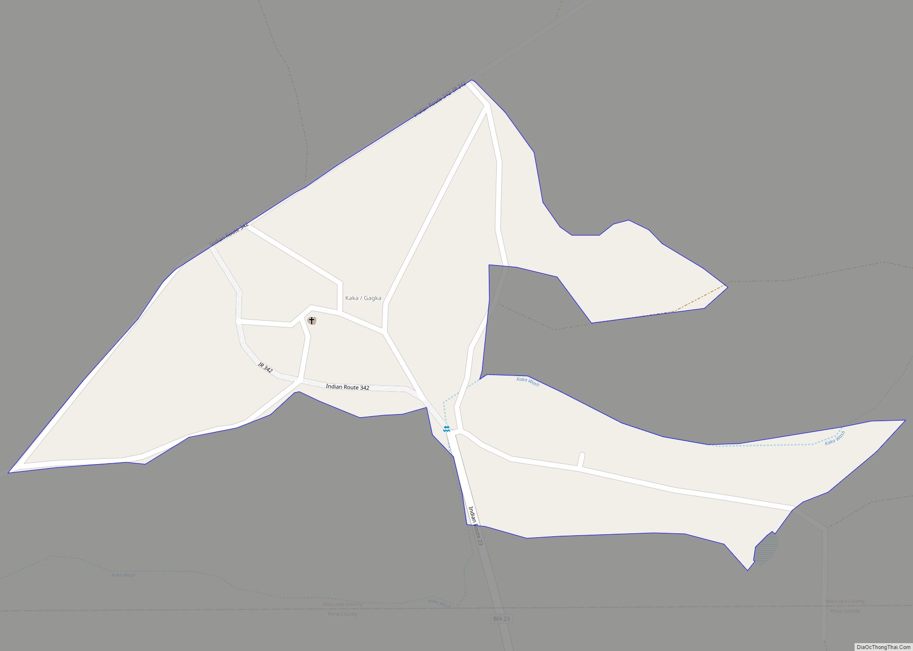
Kaka (O’odham: Gagka, translates as “A Clearing”) is a census-designated place (CDP) in Maricopa County, Arizona, United States, located in the Tohono O’odham Nation. The population was 83 at the 2020 census, down from 141 at the 2010 census. Kaka CDP overview: Name: Kaka CDP LSAD Code: 57 LSAD Description: CDP (suffix) State: Arizona County: ... Read more
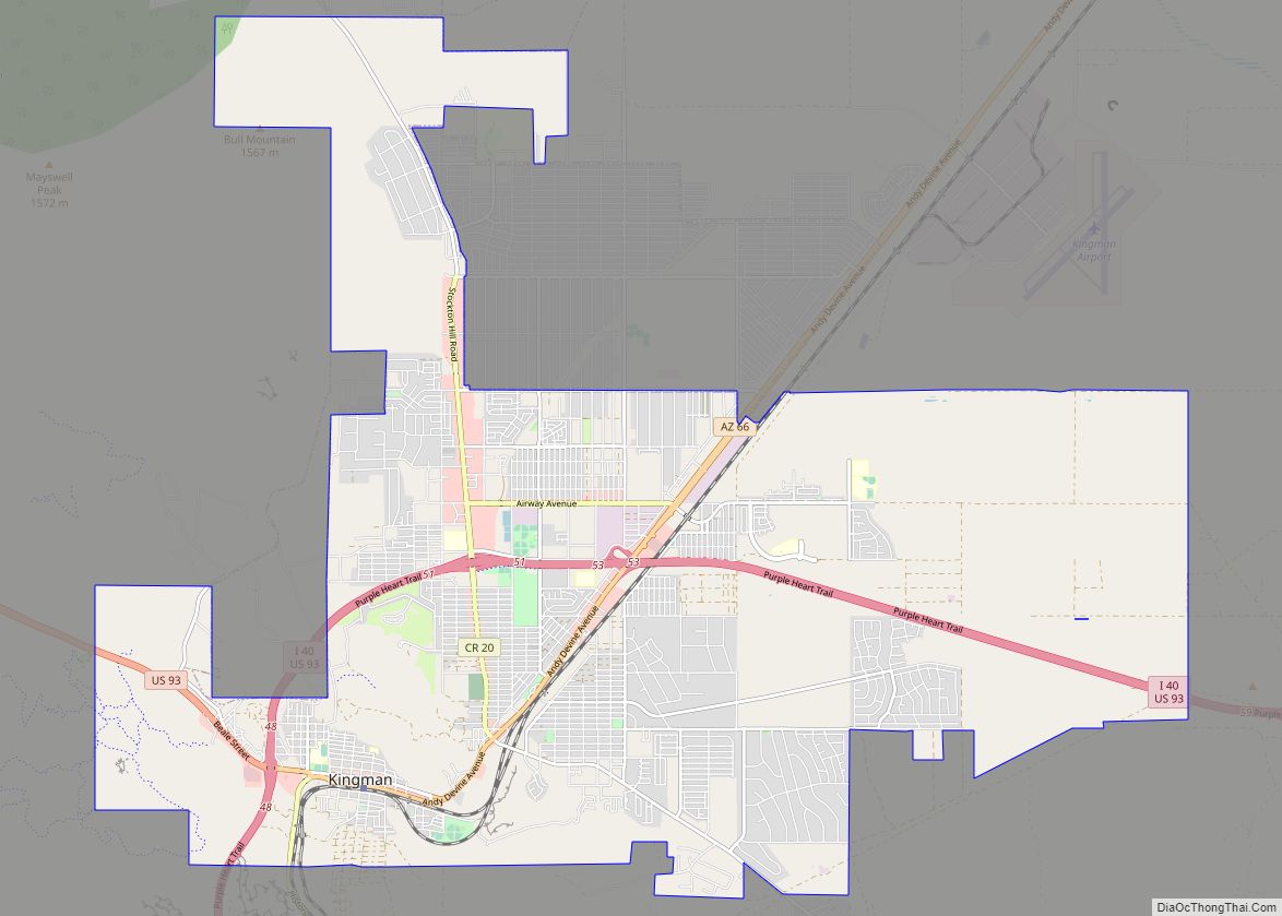
Kingman is a city in, and the county seat of, Mohave County, Arizona, United States. It is named after Lewis Kingman, an engineer for the Atlantic and Pacific Railroad. It is located 105 miles (169 km) southeast of Las Vegas, Nevada, and 180 miles (290 km) northwest of Arizona’s state capital, Phoenix. The population was 32,689 at ... Read more
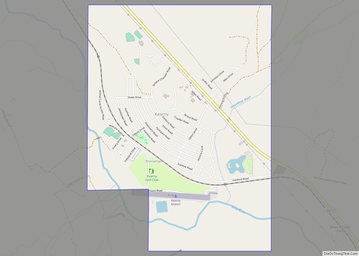
Kearny is a town in Pinal County, Arizona, United States. The town was named after General Stephen Watts Kearny, who passed through the area on November 7, 1846, while leading 100 dragoons to California. According to the 2010 census, the population of the town is 1,950. The economic base of Kearny and nearby towns is ... Read more
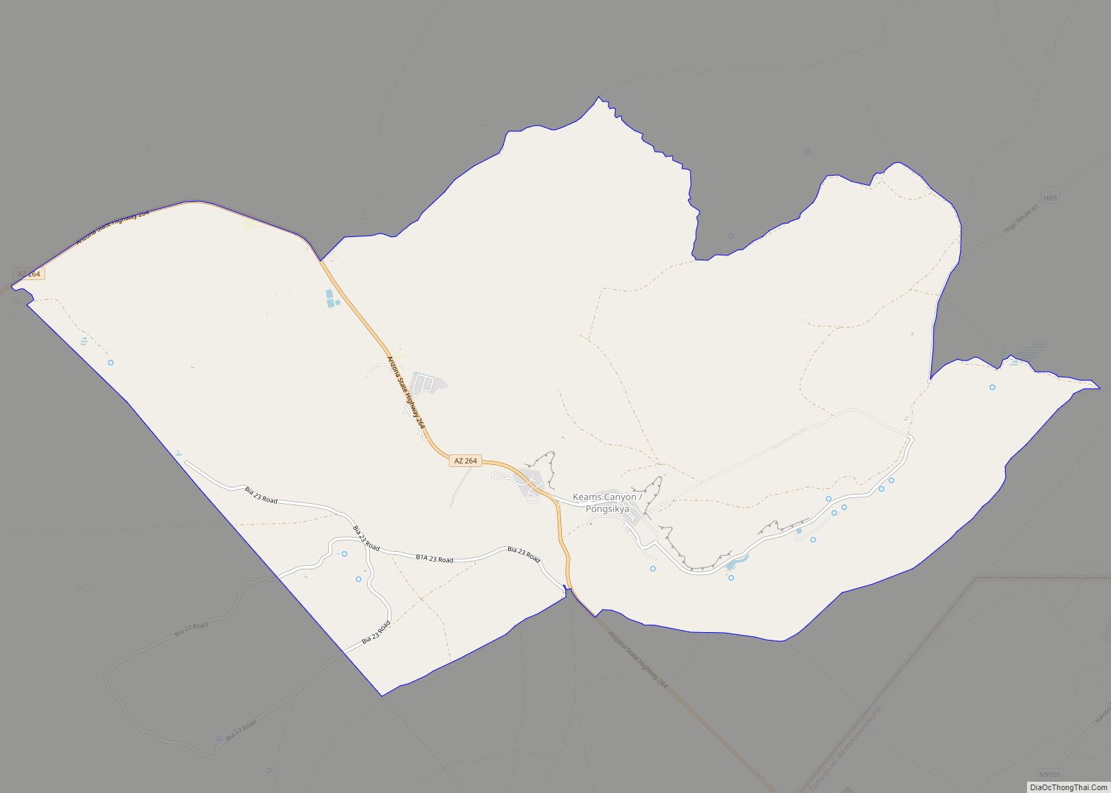
Keams Canyon (Hopi: Pongsikya or Pongsikvi; Navajo: Lókʼaaʼdeeshjin) is a census-designated place (CDP) in Navajo County, Arizona, United States. The population was 304 at the 2010 census. Pongsikya is a narrow box canyon that is named after a plant of edible greens that survived along the seasonal stream that drains from Antelope Mesa and flows ... Read more
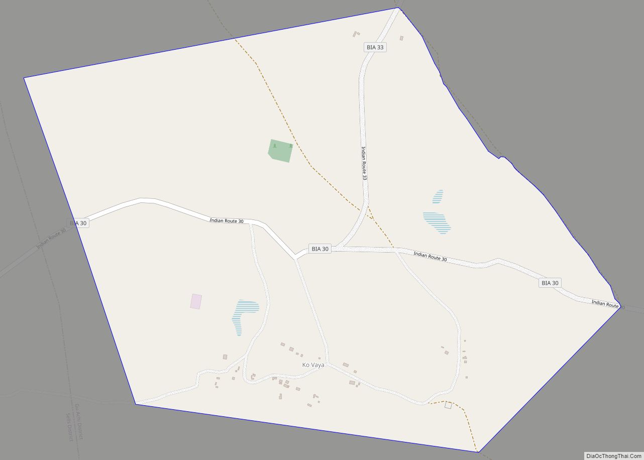
Ko Vaya is a census-designated place (CDP) in Pima County, Arizona, United States. The population was 46 at the 2010 census. Ko Vaya CDP overview: Name: Ko Vaya CDP LSAD Code: 57 LSAD Description: CDP (suffix) State: Arizona County: Pima County Elevation: 2,710 ft (826 m) Total Area: 1.10 sq mi (2.85 km²) Land Area: 1.10 sq mi (2.85 km²) Water Area: 0.00 sq mi ... Read more
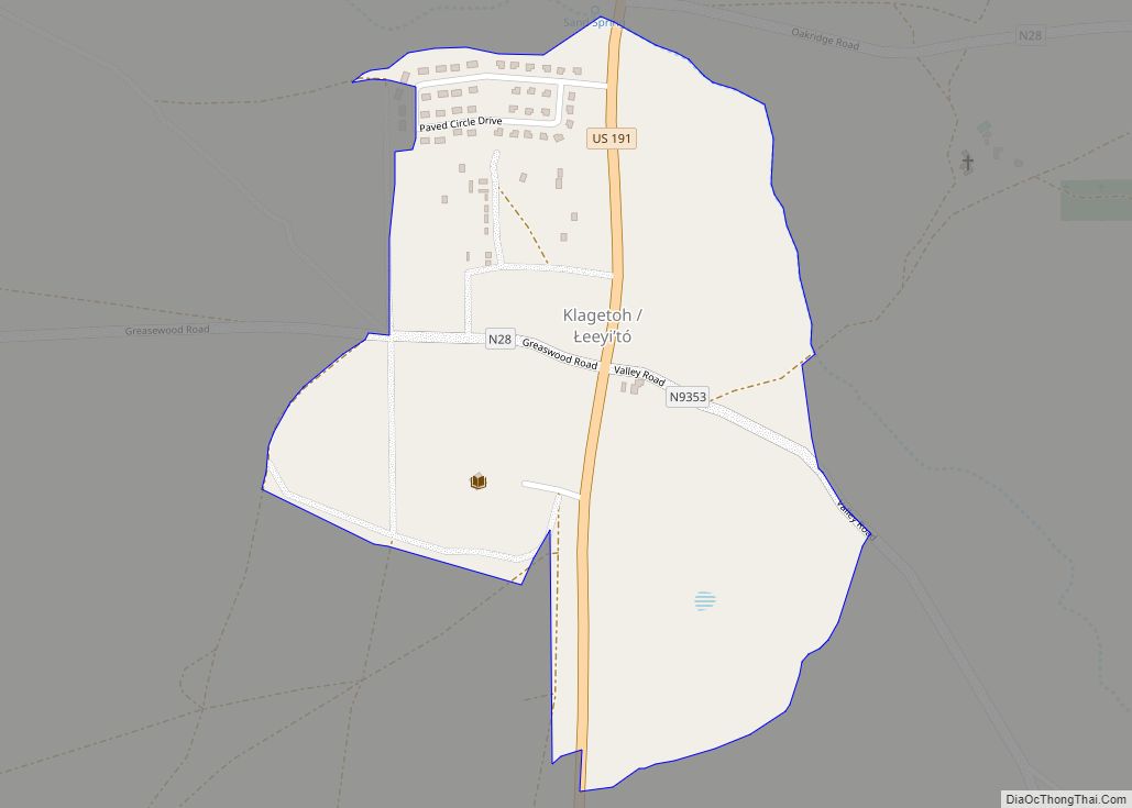
Klagetoh is a census-designated place (CDP) in Apache County, Arizona, United States. The population was 242 at the 2010 census. Klagetoh CDP overview: Name: Klagetoh CDP LSAD Code: 57 LSAD Description: CDP (suffix) State: Arizona County: Apache County Elevation: 6,424 ft (1,958 m) Total Area: 0.34 sq mi (0.87 km²) Land Area: 0.34 sq mi (0.87 km²) Water Area: 0.00 sq mi (0.00 km²) Total Population: ... Read more
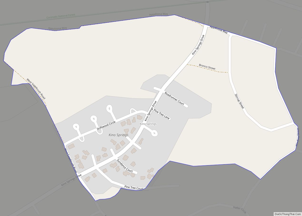
Kino Springs is a census-designated place (CDP) in Santa Cruz County, Arizona, United States. The population was 136 at the 2010 census. Kino Springs CDP overview: Name: Kino Springs CDP LSAD Code: 57 LSAD Description: CDP (suffix) State: Arizona County: Santa Cruz County Elevation: 3,999 ft (1,219 m) Total Area: 0.26 sq mi (0.67 km²) Land Area: 0.26 sq mi (0.67 km²) Water ... Read more
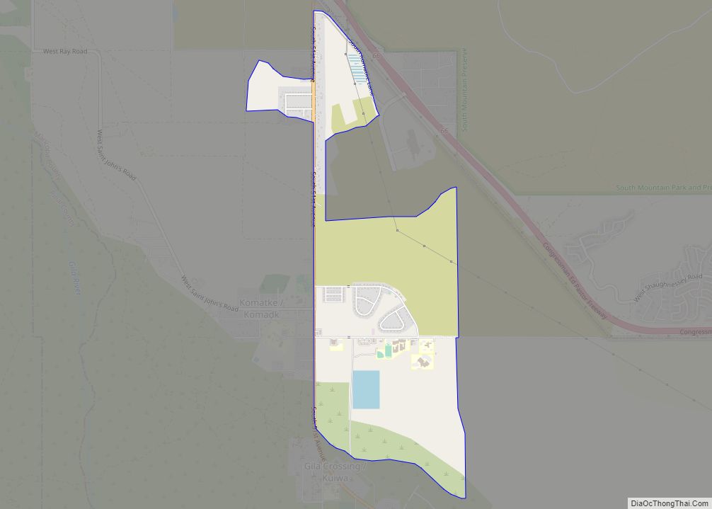
Komatke (O’odham: Komaḍk) is a census-designated place in Maricopa County, Arizona, United States. The area currently comprising the census-designated place had a population of 1,013 at the 2020 census, up from 821 at the 2010 census. It is located within the Gila River Indian Community. Its name refers to the Sierra Estrella mountain range, which ... Read more
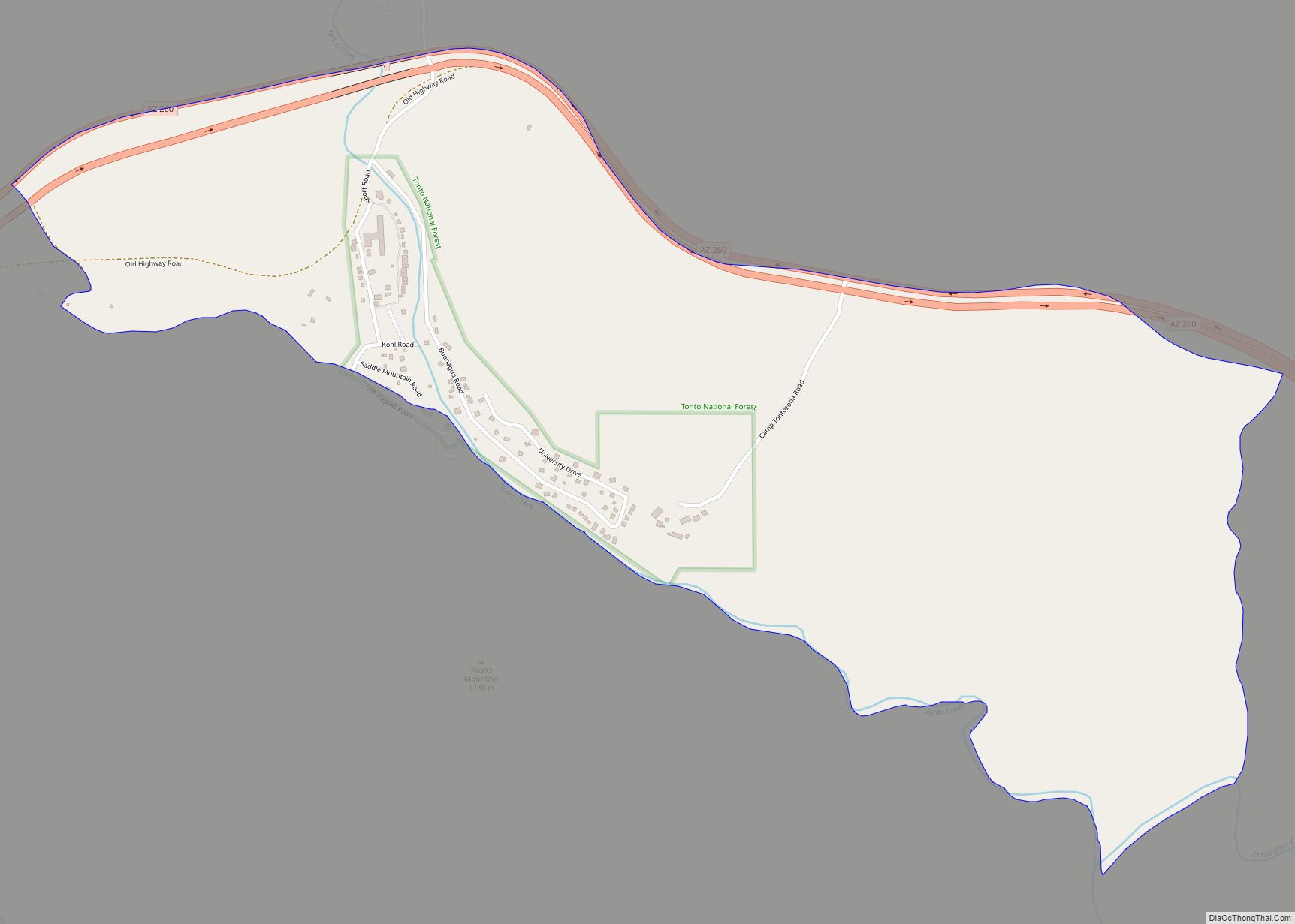
Kohls Ranch is a census-designated place (CDP) in Gila County, Arizona, United States. The population was 46 at the 2010 census. Kohls Ranch CDP overview: Name: Kohls Ranch CDP LSAD Code: 57 LSAD Description: CDP (suffix) State: Arizona County: Gila County Elevation: 5,340 ft (1,630 m) Total Area: 1.18 sq mi (3.05 km²) Land Area: 1.18 sq mi (3.05 km²) Water Area: 0.00 sq mi ... Read more
