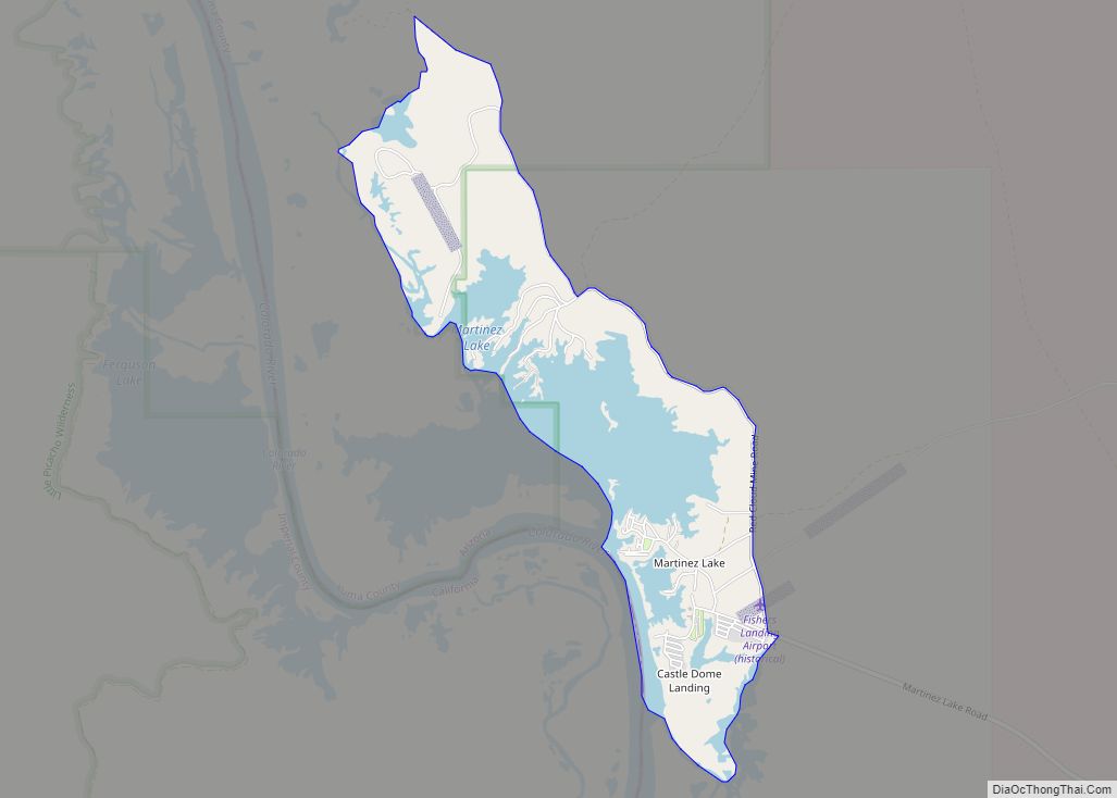
Martinez Lake is a census-designated place (CDP) in Yuma County, Arizona, United States. The population was 798 at the 2010 census. It was founded in 1958 as a fishing community. It remains primarily a vacation community. Martinez Lake CDP overview: Name: Martinez Lake CDP LSAD Code: 57 LSAD Description: CDP (suffix) State: Arizona County: Yuma ... Read more
Arizona Cities and Places
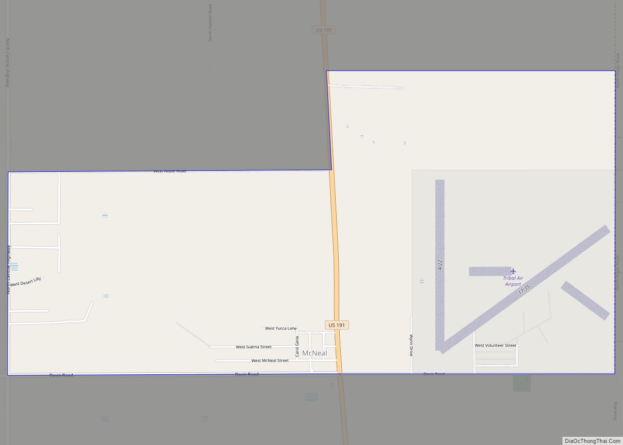
McNeal is an unincorporated community and census-designated place in Cochise County, Arizona, United States. As of the 2010 United States Census it had a population of 238. McNeal is located on U.S. Route 191, 21 miles (34 km) northwest of Douglas. McNeal has the United States Postal Service zip code of 85617. McNeal CDP overview: Name: ... Read more
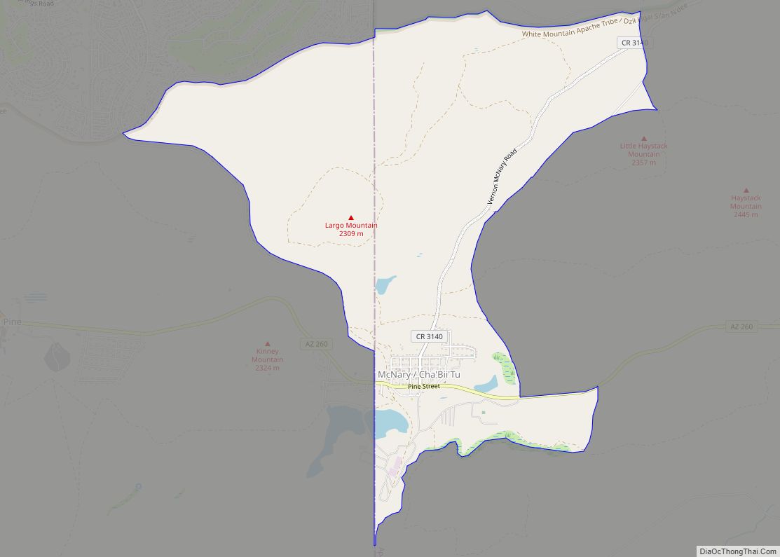
McNary (Western Apache: Chaabiitú) is a census-designated place (CDP) in Apache and Navajo counties in the U.S. state of Arizona, on the Fort Apache Indian Reservation. The population was 528 at the 2010 census. It is a 30-minute drive from Show Low and a 10-minute drive from Pinetop-Lakeside. McNary CDP overview: Name: McNary CDP LSAD ... Read more
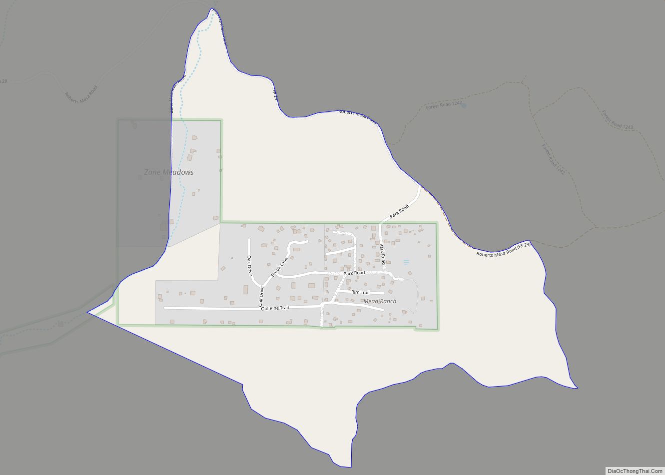
Mead Ranch is a census-designated place (CDP) in Gila County, Arizona, United States. The population was 38 at the 2010 census. Mead Ranch CDP overview: Name: Mead Ranch CDP LSAD Code: 57 LSAD Description: CDP (suffix) State: Arizona County: Gila County Elevation: 6,000 ft (2,000 m) Total Area: 0.60 sq mi (1.55 km²) Land Area: 0.60 sq mi (1.55 km²) Water Area: 0.00 sq mi ... Read more
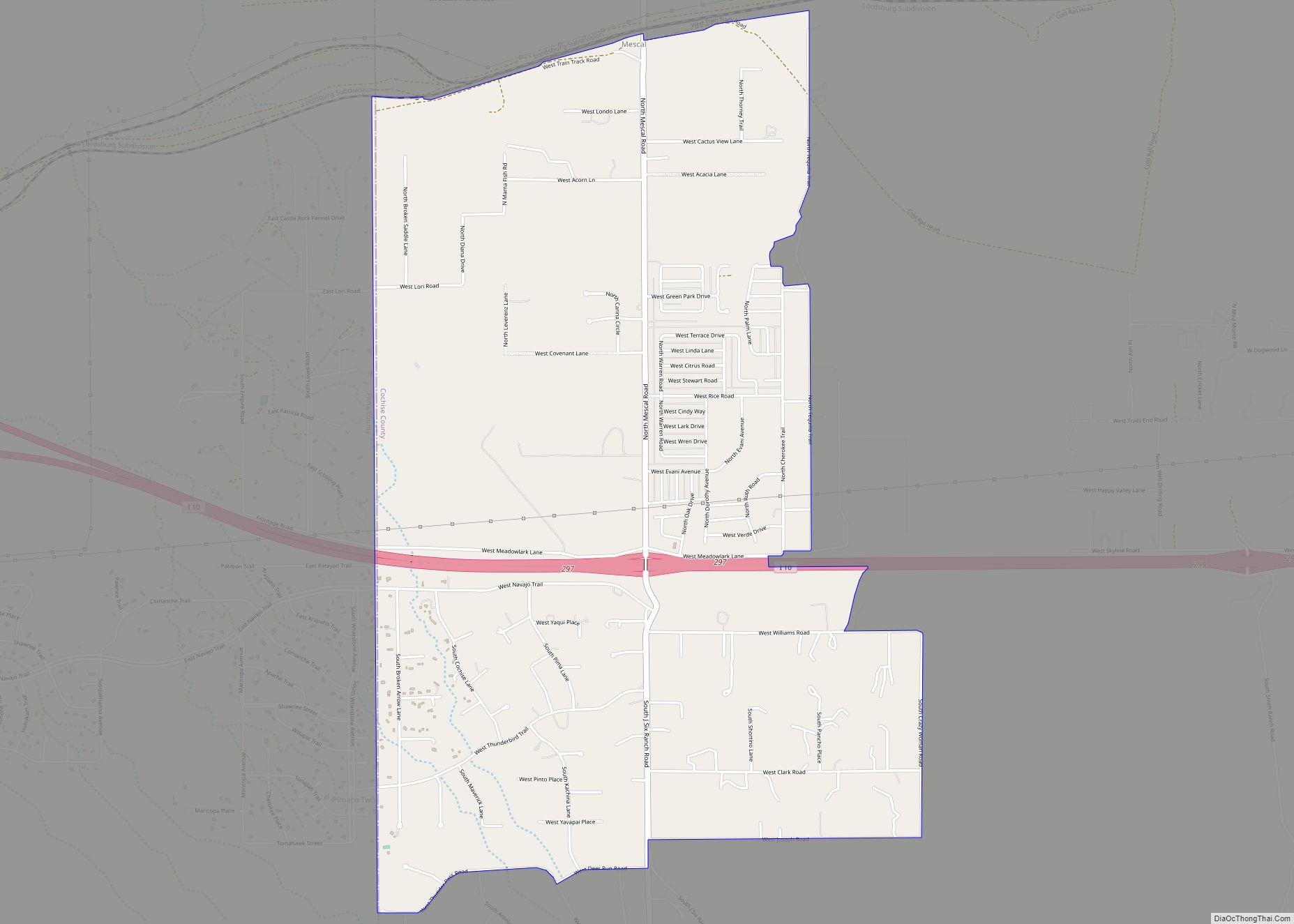
Mescal is a Census-designated place located in Cochise County, Arizona, United States. Mescal was originally a populated place, at a rail station on the Southern Pacific Railroad at an elevation of 4,085 feet. The modern community lies to the south of the railroad near Interstate 10, at 4,170 feet. Mescal had a population of 1,812 ... Read more
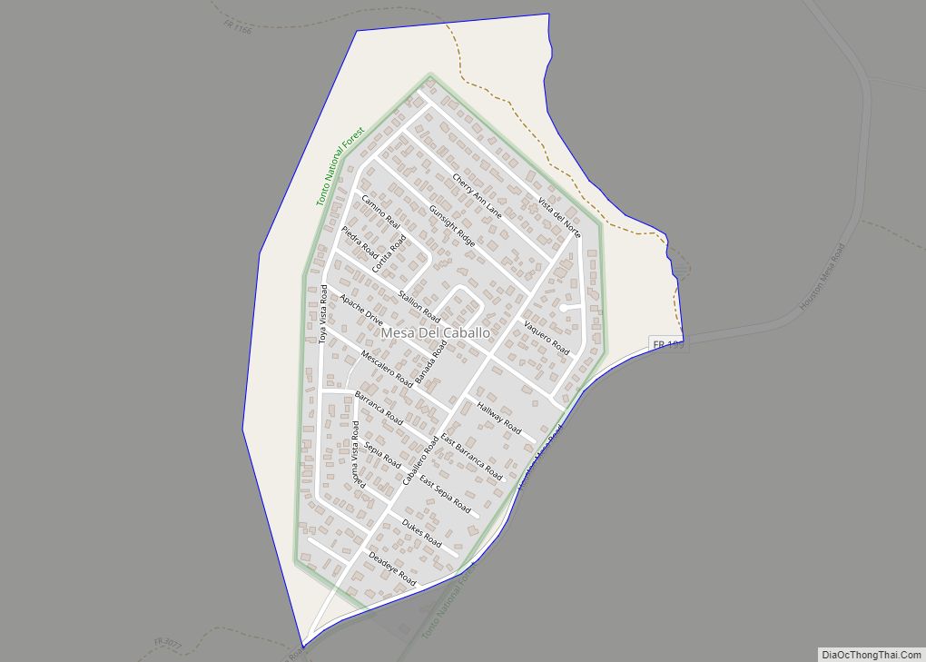
Mesa del Caballo is a census-designated place (CDP) in Gila County, Arizona, United States. The population was 765 at the 2010 census. Mesa del Caballo CDP overview: Name: Mesa del Caballo CDP LSAD Code: 57 LSAD Description: CDP (suffix) State: Arizona County: Gila County Elevation: 5,170 ft (1,580 m) Total Area: 0.32 sq mi (0.82 km²) Land Area: 0.32 sq mi (0.82 km²) ... Read more
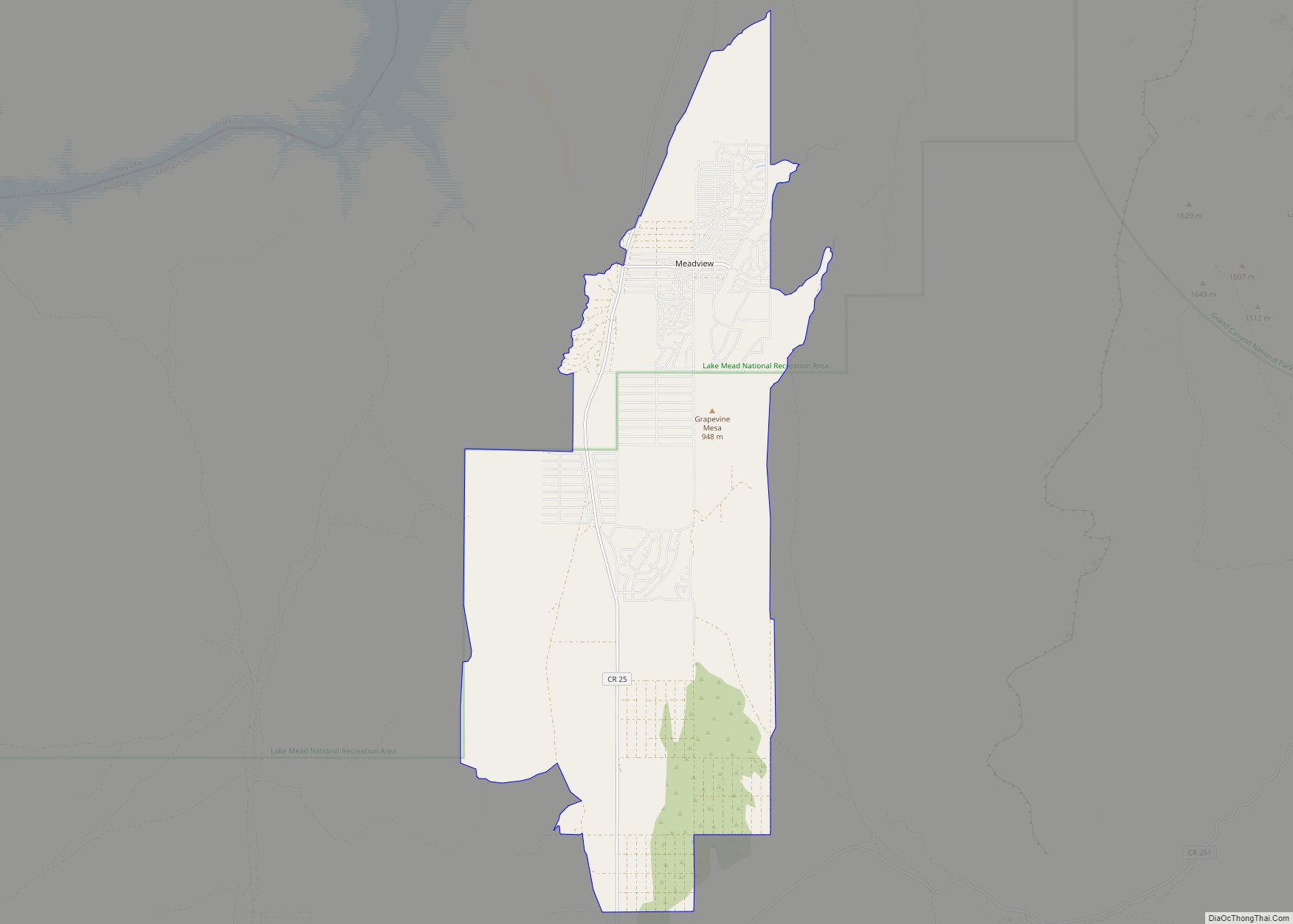
Meadview is an unincorporated community and census-designated place (CDP) in Mohave County, Arizona, United States, located near Lake Mead. As of the 2020 census, Meadview had 1,420 residents, up from 1,224 as of 2010. It was founded in the 1960s as a retirement community and is still largely one, as well as a vacation spot ... Read more
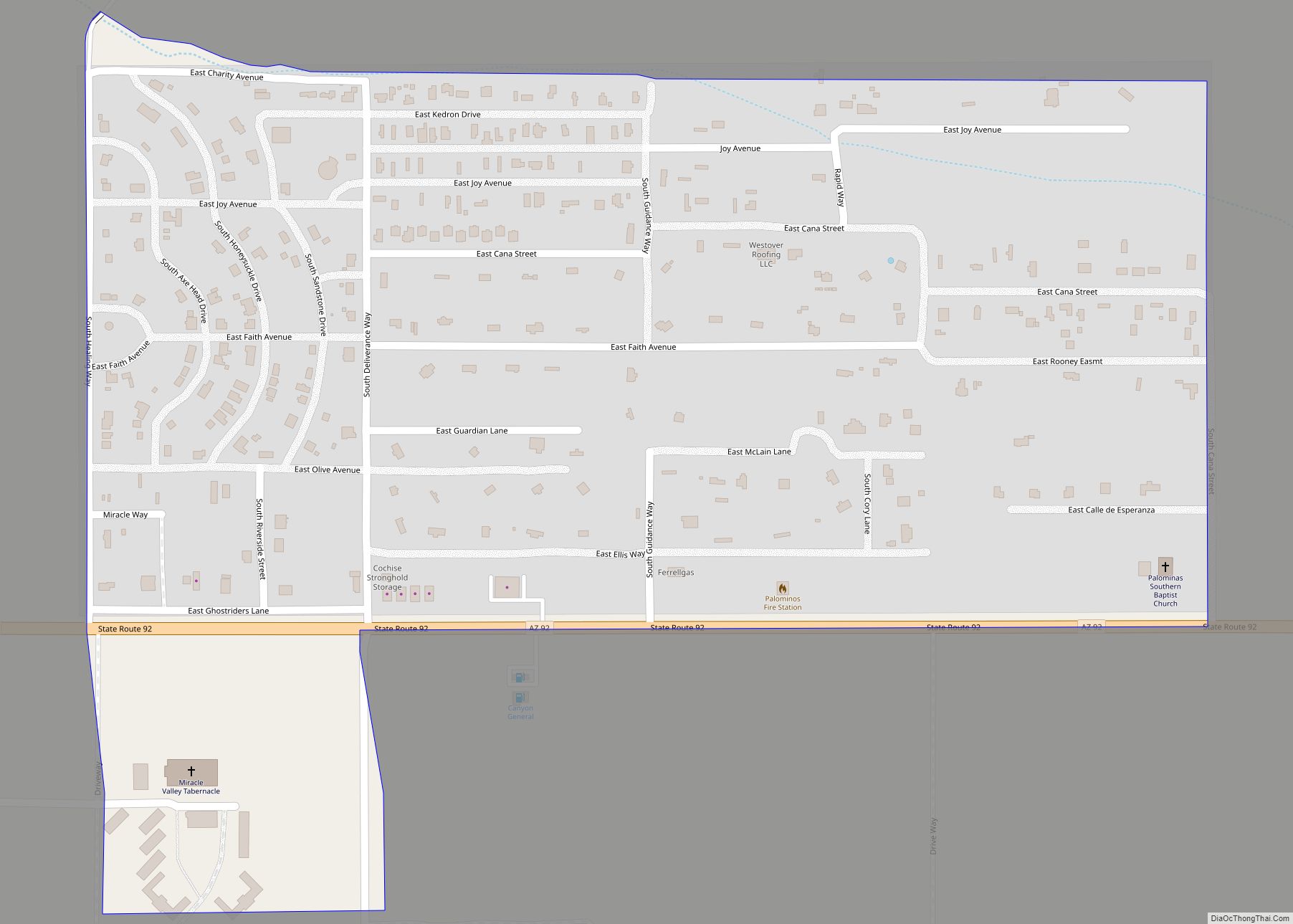
Miracle Valley is a census-designated place in the southern portion of Cochise County in the state of Arizona, United States, approximately 17 miles to the southeast of the city of Sierra Vista, along Arizona State Highway 92. The population of Miracle Valley as of the 2010 U.S. Census was 644. Miracle Valley CDP overview: Name: ... Read more
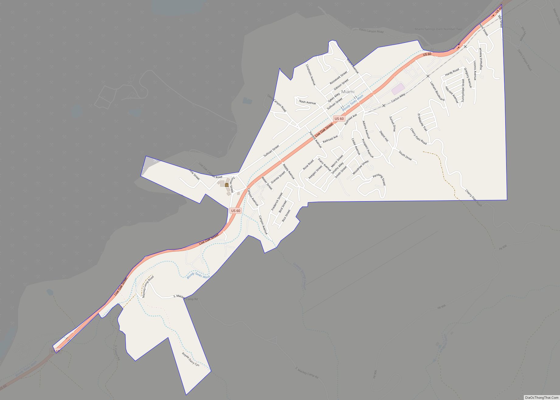
Miami (Western Apache: Goshtłʼish Tú) is a town in Gila County, Arizona, United States. Miami is a classic Western copper boom-town. Miami’s old downtown has been partly renovated, and the Bullion Plaza Museum features the cultural, mining and ranching history of the Miami area. According to the 2010 Census, the population of the town was ... Read more
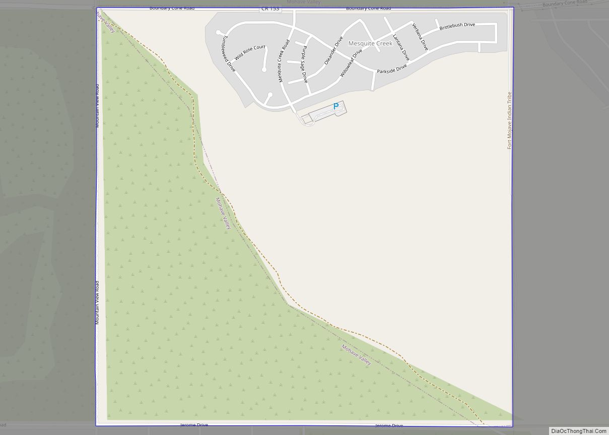
Mesquite Creek is an unincorporated community and census-designated place (CDP) in Mohave County, Arizona, United States. The population was 403 at the 2020 census. Mesquite Creek CDP overview: Name: Mesquite Creek CDP LSAD Code: 57 LSAD Description: CDP (suffix) State: Arizona County: Mohave County Elevation: 1,800 ft (549 m) Total Area: 1.02 sq mi (2.65 km²) Land Area: 1.02 sq mi (2.65 km²) ... Read more
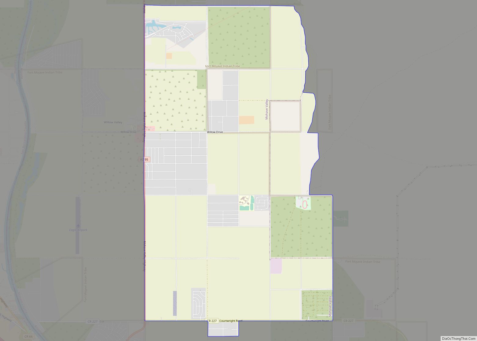
Mohave Valley (‘Amat’ ‘Analy Uuhwely in Mojave) is an unincorporated community and census-designated place (CDP) in Mohave County, Arizona, United States. The population was 2,693 at the 2020 census. It is geographically connected to Needles, California, Fort Mohave and Bullhead City. Mohave Valley CDP overview: Name: Mohave Valley CDP LSAD Code: 57 LSAD Description: CDP ... Read more
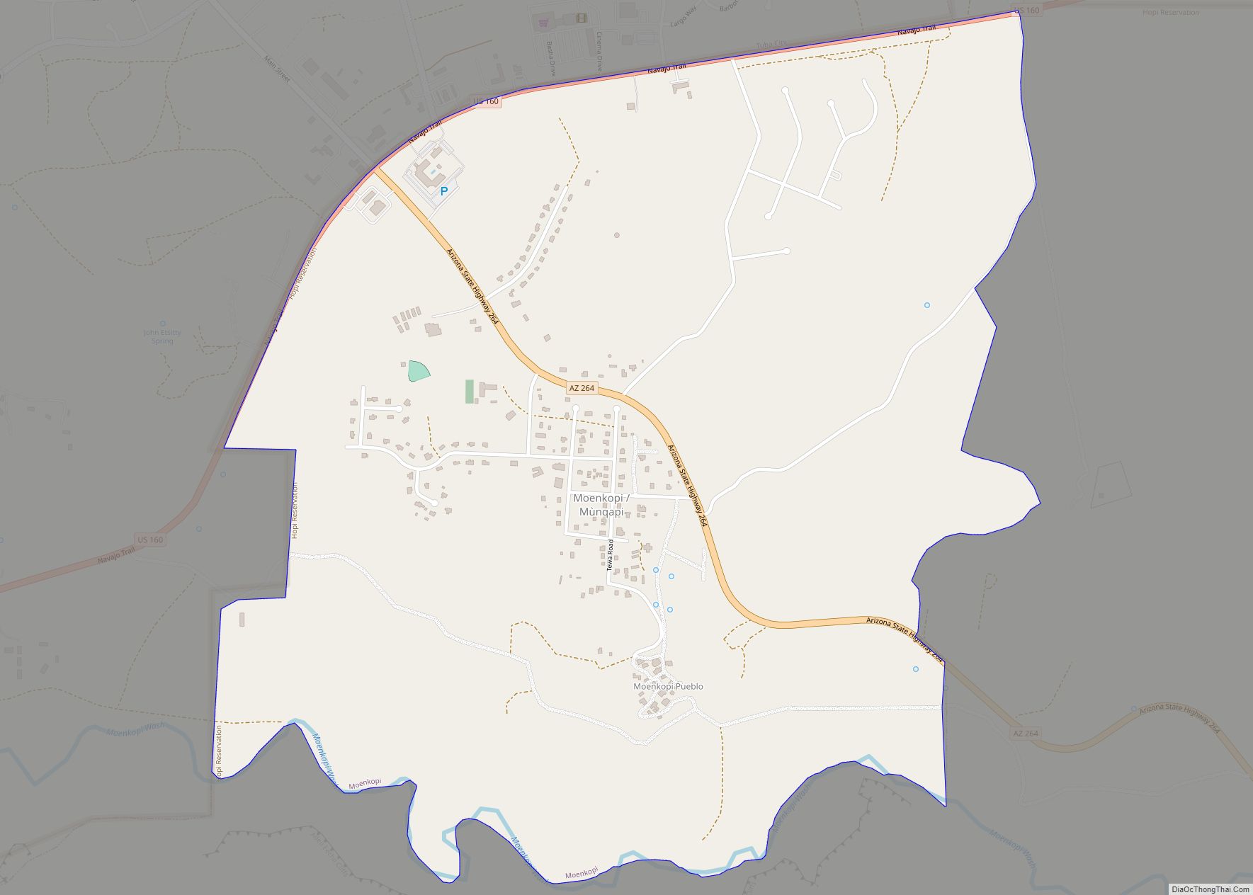
Moenkopi (Hopi: Mùnqapi, Navajo: Oozéí Hayázhí) is a census-designated place (CDP) in Coconino County, Arizona, United States, adjacent to the southeast side of Tuba City off U.S. Route 160. The population was 964 at the 2010 census. A Hopi community, it was founded in 1870 as a summer farming area by people from the Hopi ... Read more
