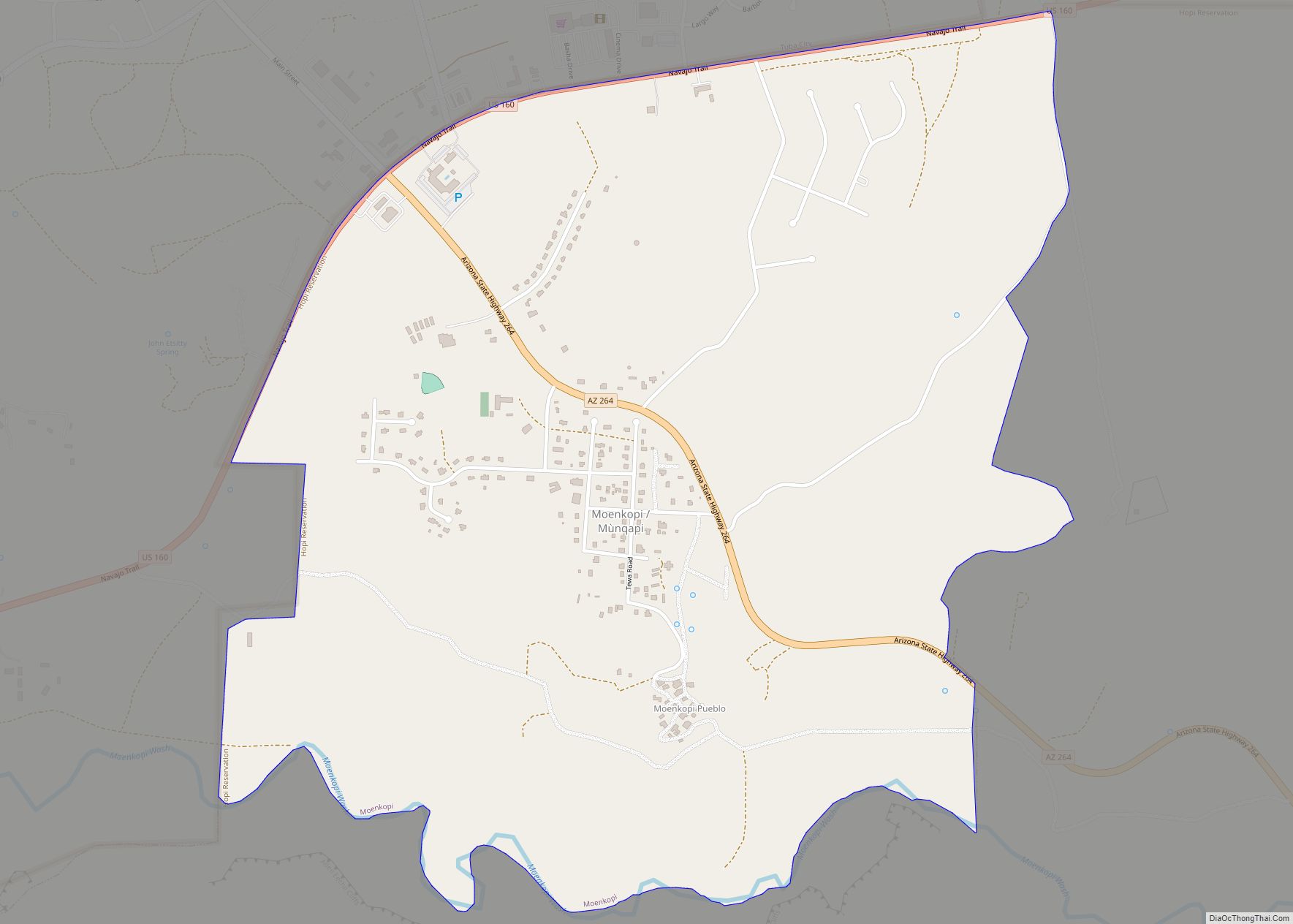
Moenkopi (Hopi: Mùnqapi, Navajo: Oozéí Hayázhí) is a census-designated place (CDP) in Coconino County, Arizona, United States, adjacent to the southeast side of Tuba City off U.S. Route 160. The population was 964 at the 2010 census. A Hopi community, it was founded in 1870 as a summer farming area by people from the Hopi ... Read more
Arizona Cities and Places
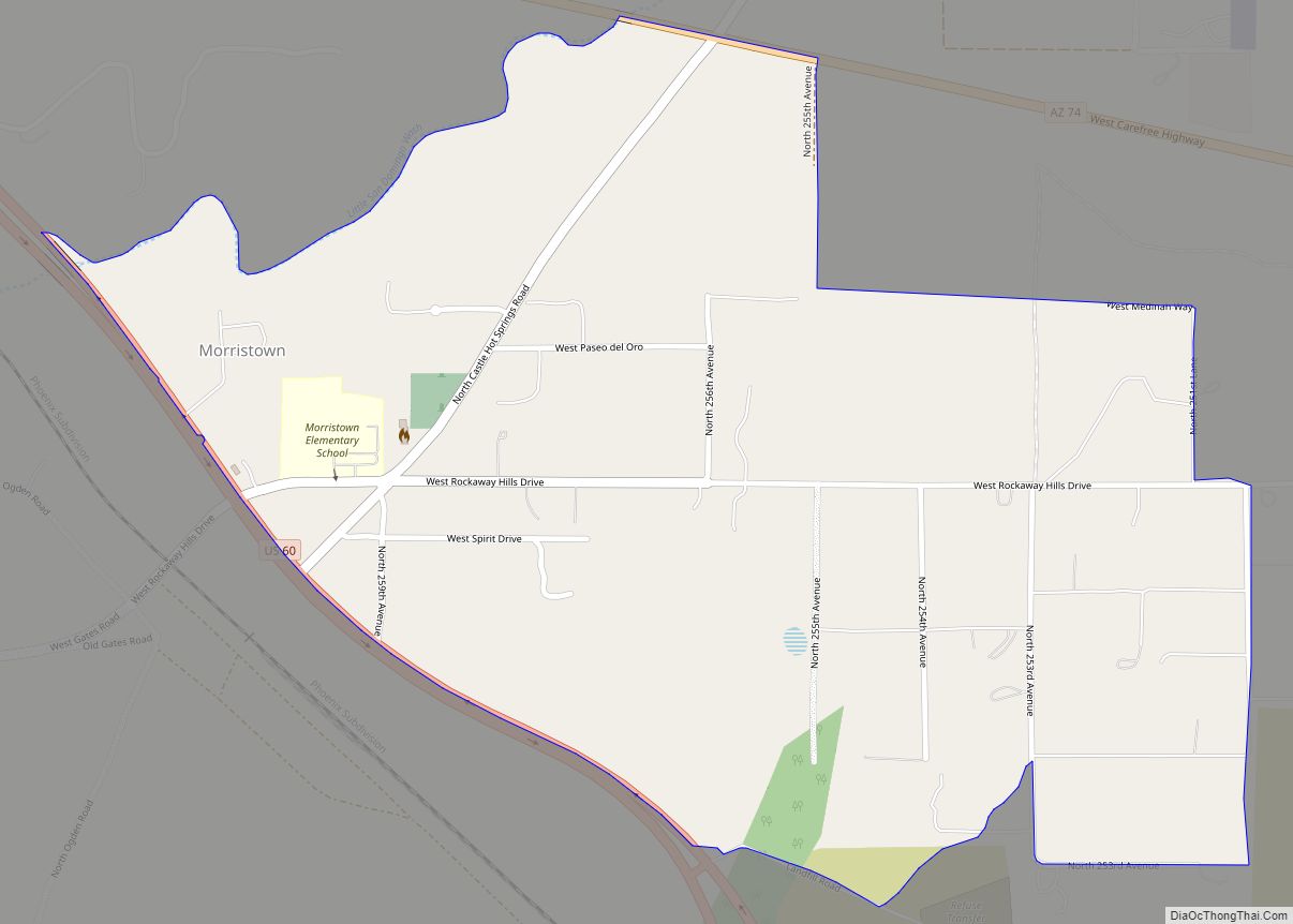
Morristown is an unincorporated community and census-designated place (CDP) in Maricopa County, Arizona, United States. It is 43 miles (69 km) northwest of Phoenix, at the junction of State Route 74 and U.S. Route 60. As of the 2020 census, it had a population of 186, down from 227 in 2010. Morristown is home to the ... Read more
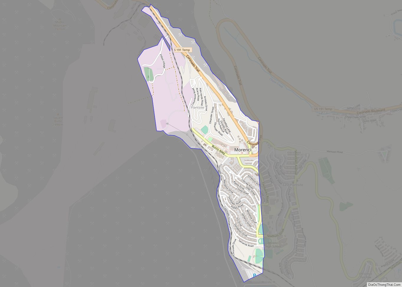
Morenci is a census-designated place (CDP) and company town in Greenlee County, Arizona, United States, and was founded by the Detroit Copper Mining Company of Arizona. The population was 2000 at the 2000 census and 1,489 at the 2010 census. The biggest employer in Morenci (and in nearby Clifton) and the owner of the town ... Read more
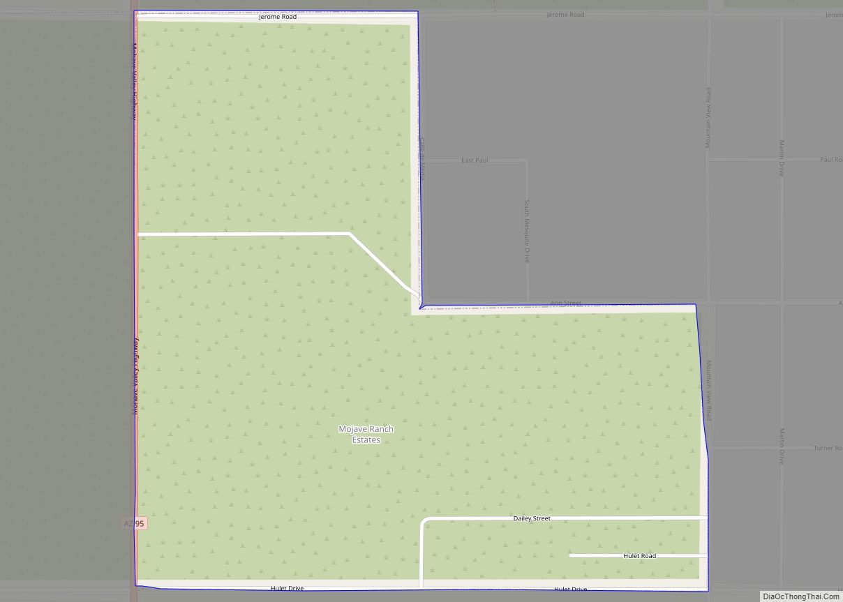
Mojave Ranch Estates is an unincorporated community and census-designated place (CDP) in Mohave County, Arizona, United States. The population was 53 as of the 2020 census. Mojave Ranch Estates CDP overview: Name: Mojave Ranch Estates CDP LSAD Code: 57 LSAD Description: CDP (suffix) State: Arizona County: Mohave County Elevation: 473 ft (144 m) Total Area: 0.75 sq mi (1.94 km²) ... Read more
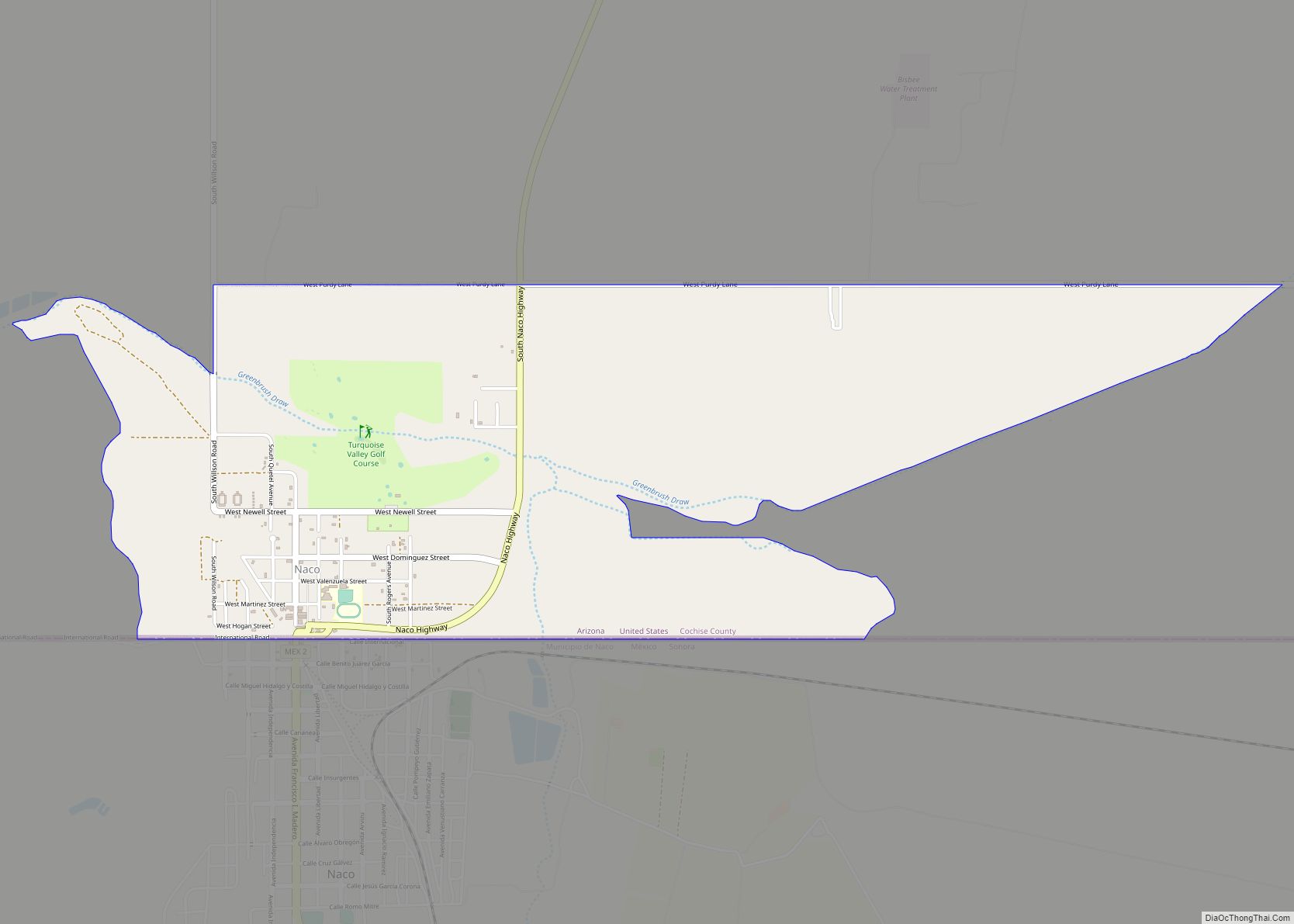
Naco, a Census-Designated Place (CDP) located in Cochise County, Arizona, United States had a recorded population of 1,046 during the 2010 census. It is located directly across the United States–Mexico border from its sister city Naco, Sonora. Naco is best known for an accidental 1929 air raid and is the first and only municipality in ... Read more
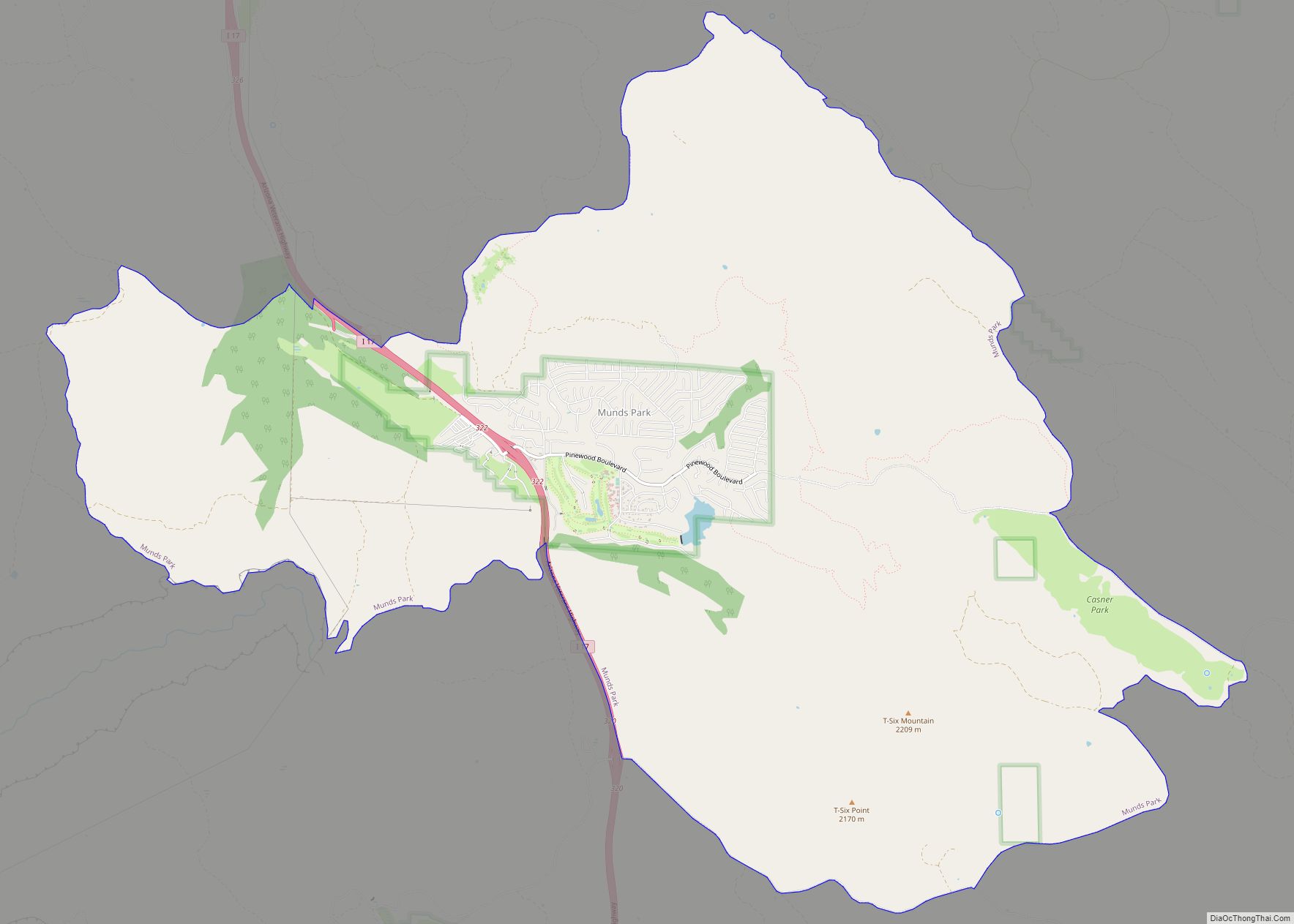
Munds Park is an unincorporated census-designated place (CDP) in Coconino County, Arizona, United States. The year round population was 631 at the 2010 census. Munds Park CDP overview: Name: Munds Park CDP LSAD Code: 57 LSAD Description: CDP (suffix) State: Arizona County: Coconino County Elevation: 6,590 ft (2,009 m) Total Area: 22.29 sq mi (57.72 km²) Land Area: 22.25 sq mi (57.62 km²) ... Read more
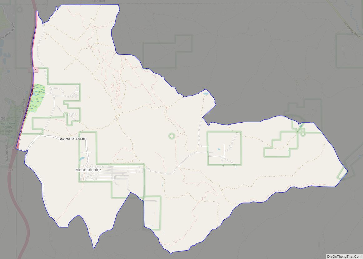
Mountainaire is a census-designated place (CDP) in Coconino County, Arizona, United States. The population was 1,119 at the 2010 census. Mountainaire CDP overview: Name: Mountainaire CDP LSAD Code: 57 LSAD Description: CDP (suffix) State: Arizona County: Coconino County Elevation: 6,800 ft (2,073 m) Total Area: 10.21 sq mi (26.43 km²) Land Area: 10.20 sq mi (26.43 km²) Water Area: 0.00 sq mi (0.01 km²) Total Population: ... Read more
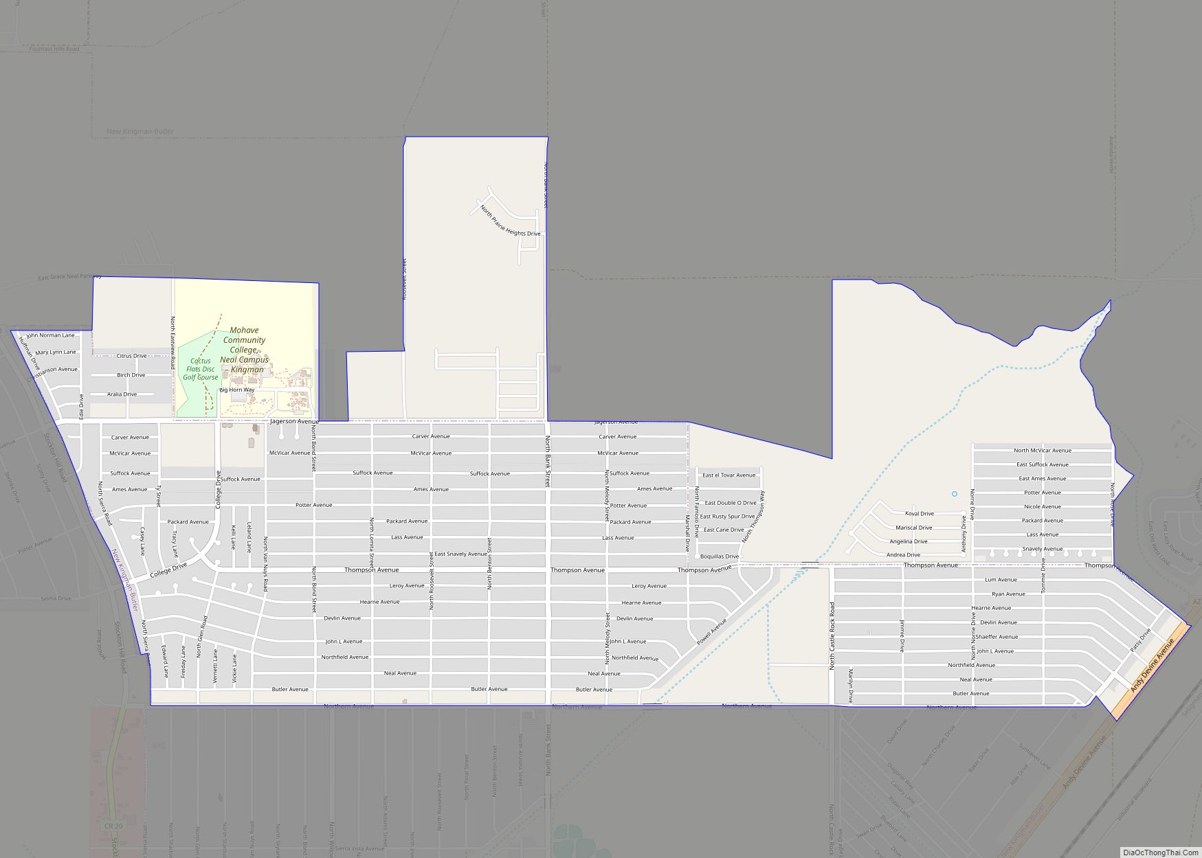
New Kingman-Butler is an unincorporated community and census-designated place (CDP) in Mohave County, Arizona, United States, directly north of and bordering the city of Kingman. The population was 12,907 as of the 2020 census. New Kingman-Butler CDP overview: Name: New Kingman-Butler CDP LSAD Code: 57 LSAD Description: CDP (suffix) State: Arizona County: Mohave County Elevation: ... Read more
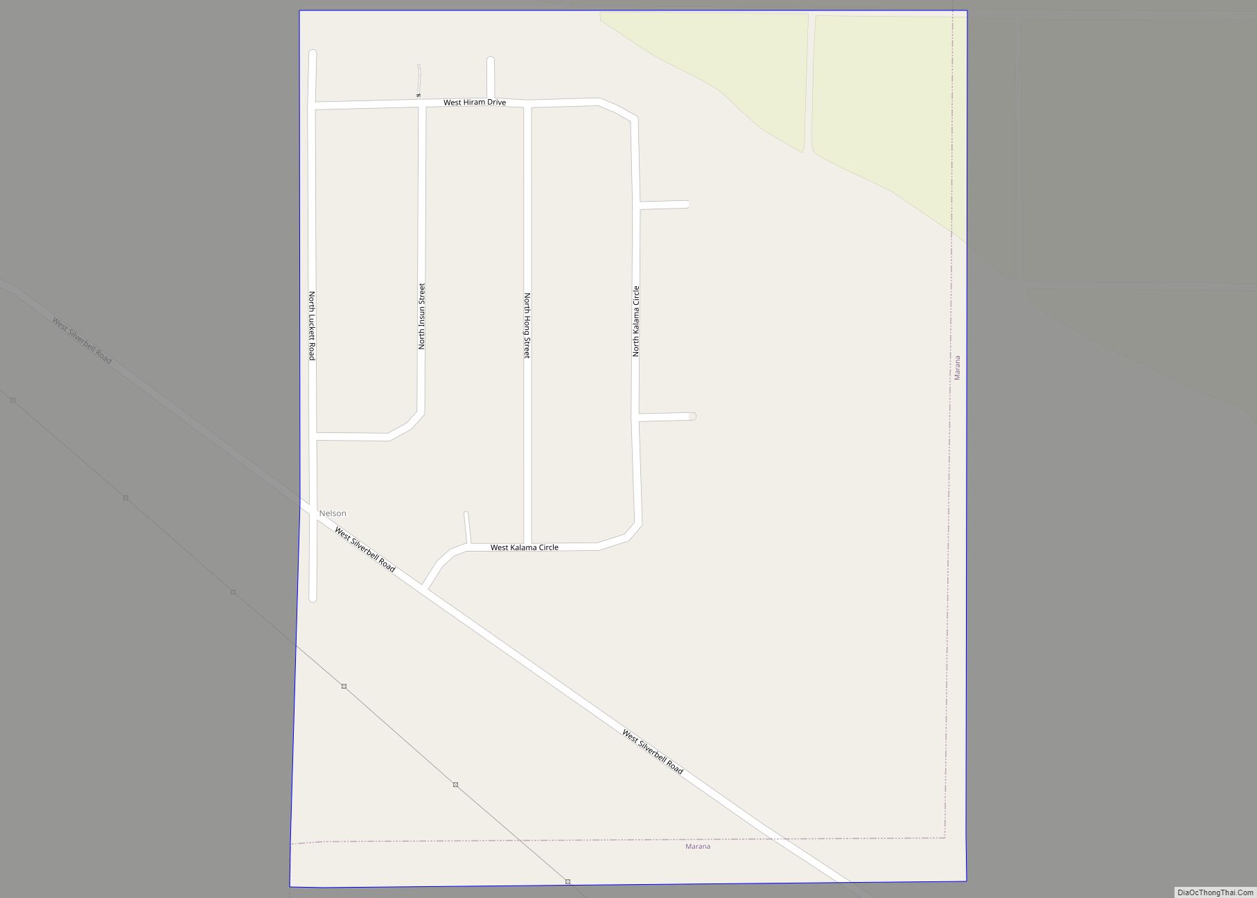
Nelson is a census-designated place (CDP) in Pima County, Arizona, United States. The population was 259 at the 2010 census. Nelson CDP overview: Name: Nelson CDP LSAD Code: 57 LSAD Description: CDP (suffix) State: Arizona County: Pima County Elevation: 1,975 ft (602 m) Total Area: 0.47 sq mi (1.23 km²) Land Area: 0.47 sq mi (1.23 km²) Water Area: 0.00 sq mi (0.00 km²) Total Population: ... Read more
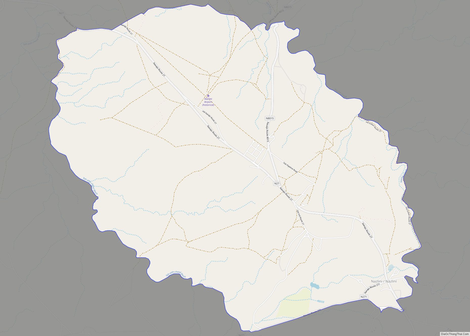
Nazlini (Navajo: Názlíní) is a census-designated place (CDP) in Apache County, Arizona, United States. The population was 489 at the 2010 census. Nearby are Nazlini Creek and Nazlini Canyon. Nazlini Canyon is the site of many Native American ruins and campsites that were abandoned when erosion made them unusable. Nazlini CDP overview: Name: Nazlini CDP ... Read more
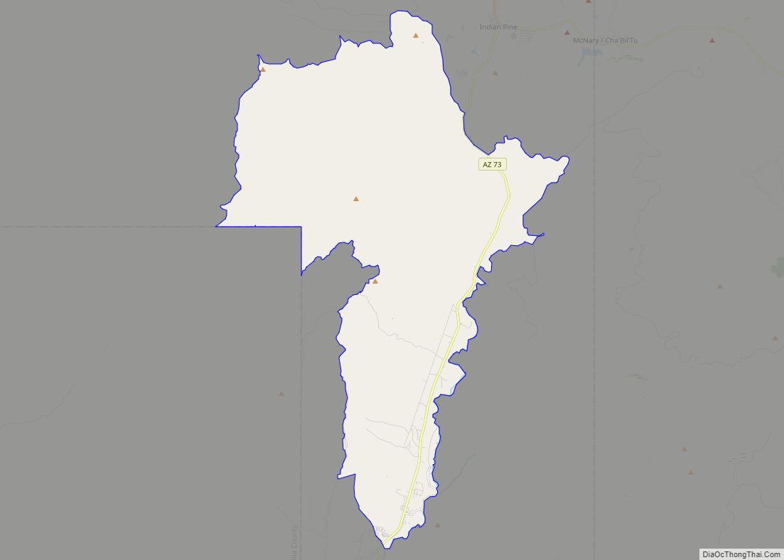
North Fork is a census-designated place (CDP) in Navajo County, Arizona, United States, on the Fort Apache Indian Reservation. The population was 1,417 at the 2010 census. North Fork CDP overview: Name: North Fork CDP LSAD Code: 57 LSAD Description: CDP (suffix) State: Arizona County: Navajo County Elevation: 6,768 ft (2,063 m) Total Area: 61.62 sq mi (159.60 km²) Land ... Read more
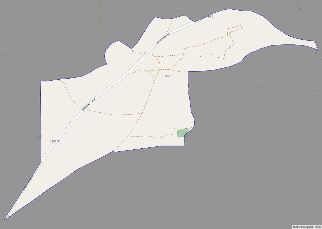
Nolic is a census-designated place (CDP) located on the Tohono O’odham Indian Reservation in Pima County, Arizona, United States. The population was 37 at the 2010 census. Nolic CDP overview: Name: Nolic CDP LSAD Code: 57 LSAD Description: CDP (suffix) State: Arizona County: Pima County Elevation: 2,379 ft (725 m) Total Area: 0.52 sq mi (1.35 km²) Land Area: 0.52 sq mi ... Read more
