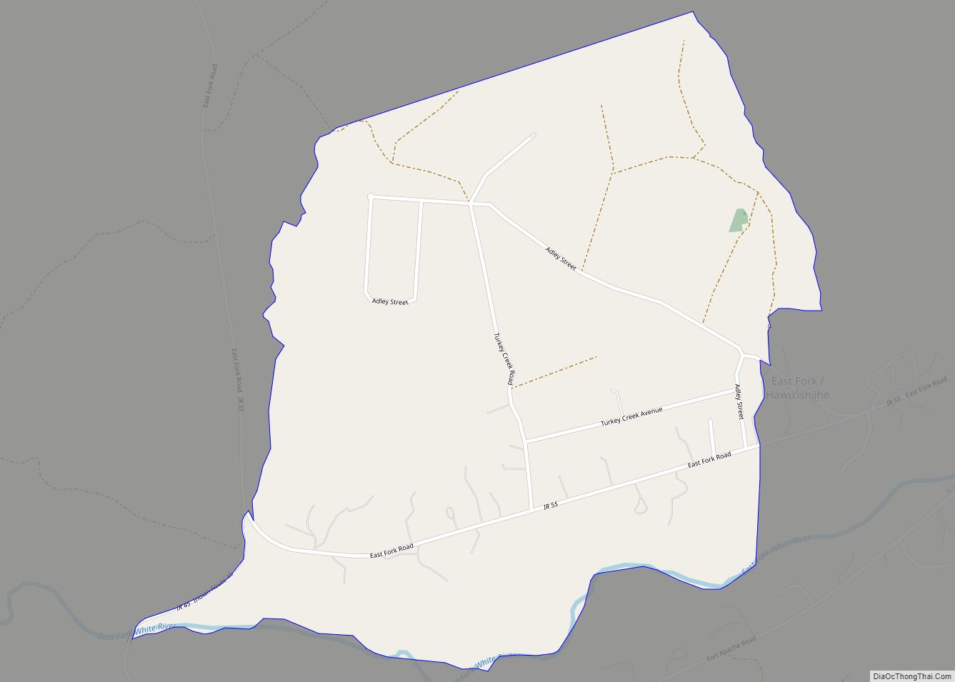
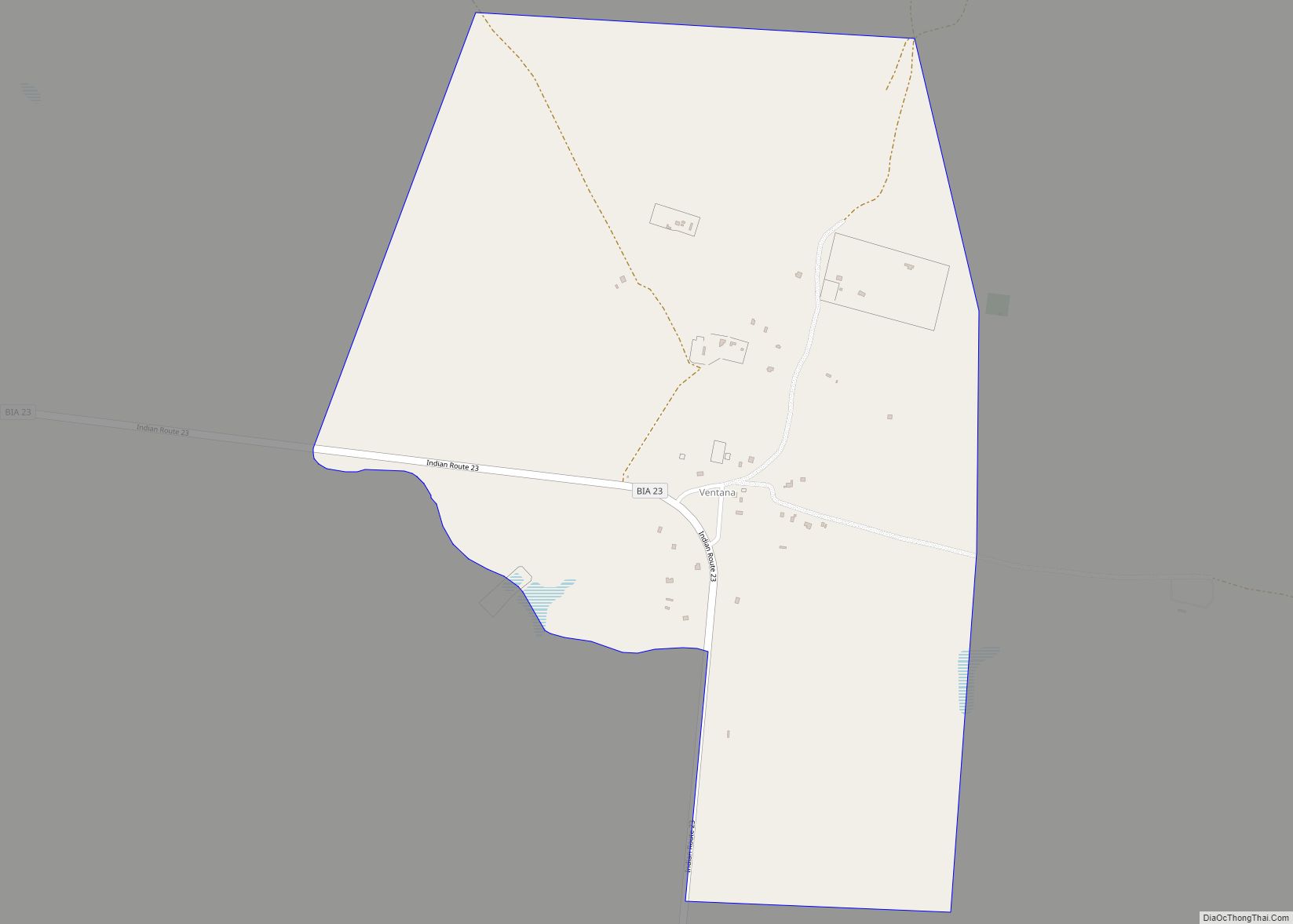
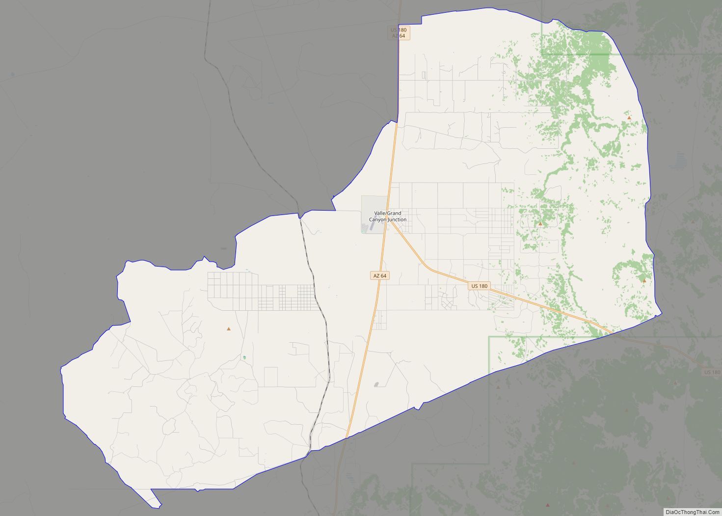
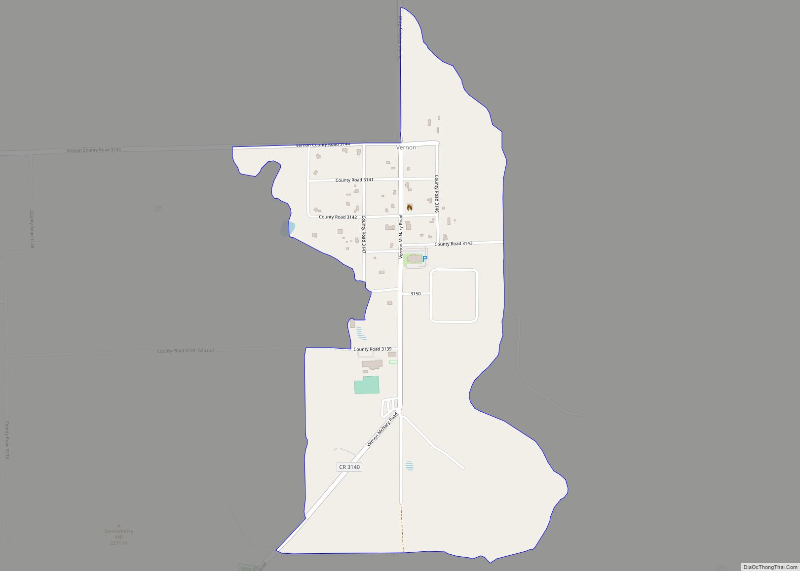
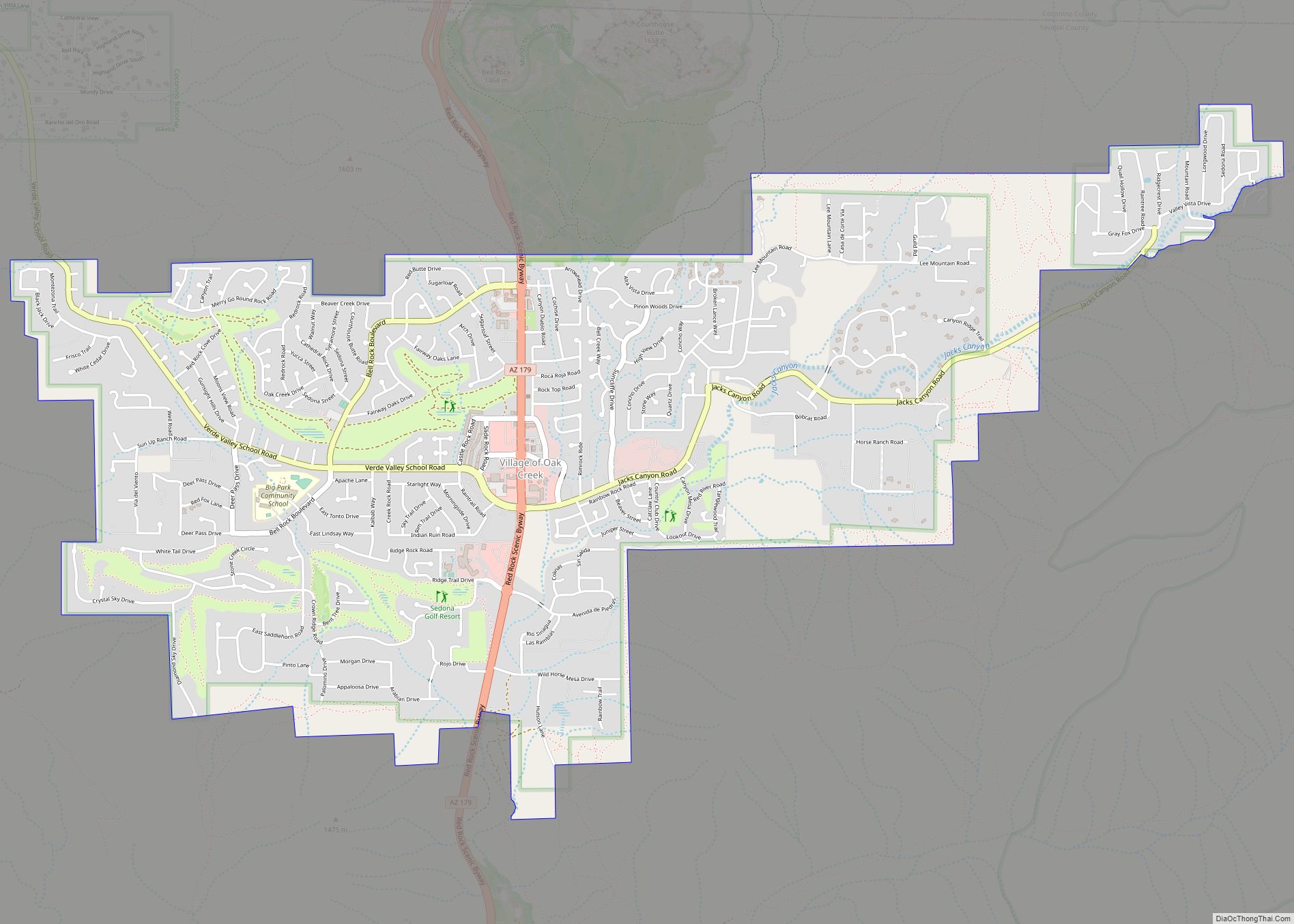
Map of Upper Santan Village CDP

Map of Upper Santan Village CDP

Upper Santan Village is a census-designated place in Pinal County, in the U.S. state of Arizona. The population was 495 at the 2010 census. Upper Santan Village CDP overview: Name: Upper Santan Village CDP LSAD Code: 57 LSAD Description: CDP (suffix) State: Arizona County: Pinal County Total Area: 6.73 sq mi (17.44 km²) Land Area: 6.73 sq mi (17.44 km²) Water … Read more

Map of Vaiva Vo CDP

Map of Vaiva Vo CDP

Vaiva Vo (O’odham) name translates as “Cocklebur Pond”, is a census-designated place in Pinal County, in the U.S. state of Arizona. Its population was 93 as of the 2020 census. It is located on the northwestern part of the Tohono O’odham Nation reservation. Vaiva Vo CDP overview: Name: Vaiva Vo CDP LSAD Code: 57 LSAD … Read more

Map of Vail CDP

Map of Vail CDP, Arizona

Vail is a census-designated place (CDP) in Pima County, Arizona, United States. It is 24 miles (39 km) southeast of Tucson. The population was 10,208 at the 2010 census, up from 2484 in the 2000 census. The area is known for the nearby Colossal Cave, a large cave system, and the Rincon Mountains District of Saguaro … Read more

Map of Utting CDP

Map of Utting CDP

Utting is a census-designated place in La Paz County, Arizona, United States. As of the 2010 census, its population was 126. The community was named after Charles Utting, who fought with the Rough Riders in the Spanish–American War. Utting CDP overview: Name: Utting CDP LSAD Code: 57 LSAD Description: CDP (suffix) State: Arizona County: La … Read more

Map of Valle Vista CDP

Map of Valle Vista CDP, Arizona

Valle Vista is an unincorporated community and census-designated place (CDP) in Mohave County, in the U.S. state of Arizona. The population was 1,802 at the 2020 census. Valle Vista CDP overview: Name: Valle Vista CDP LSAD Code: 57 LSAD Description: CDP (suffix) State: Arizona County: Mohave County Total Area: 11.96 sq mi (30.97 km²) Land Area: 11.96 sq mi (30.97 km²) … Read more

Map of Valentine CDP

Map of Valentine CDP, Arizona

Valentine is an unincorporated community and census-designated place (CDP) in Mohave County, Arizona, United States. As of the 2020 census it had a population of 39. Valentine is located on Arizona State Route 66 (former U.S. Route 66) 32 miles (51 km) northeast of Kingman. The majority of Valentine is located in a geographically isolated portion … Read more

Map of Valencia West CDP

Map of Valencia West CDP

Valencia West is a census-designated place (CDP) in Pima County, Arizona, United States. The population was 9,355 at the 2010 census, a 293% increase over the population of 2,380 in 2000. Valencia West CDP overview: Name: Valencia West CDP LSAD Code: 57 LSAD Description: CDP (suffix) State: Arizona County: Pima County Total Area: 9.52 sq mi (24.67 km²) … Read more

Map of Verde Village CDP

Map of Verde Village CDP

Verde Village is a census-designated place (CDP) in Yavapai County, Arizona, United States. The population was 11,605 at the 2010 census. It is a retirement and bedroom community for Cottonwood. Verde Village CDP overview: Name: Verde Village CDP LSAD Code: 57 LSAD Description: CDP (suffix) State: Arizona County: Yavapai County Elevation: 3,314 ft (1,010 m) Total Area: … Read more

Map of Ventana CDP

Map of Ventana CDP

Ventana is a census-designated place in Pima County, in the U.S. state of Arizona. The population was 52 at the 2020 census. The place takes it name from the Spanish word for “window” and is located in the northeastern part of the Tohono O’odham Nation reservation. Ventana CDP overview: Name: Ventana CDP LSAD Code: 57 … Read more

Map of Valle CDP

Map of Valle CDP

Valle (Grand Canyon Junction) is a census-designated place in Coconino County, Arizona, United States. As of the 2010 US Census the population of Valle was 832. It lies at an altitude of 5,994 feet (1,827 m), at the junction of U.S. Route 180 and State Route 64. Its attractions include the Valle Airport (40G), the Planes … Read more

Map of Village of Oak Creek (Big Park) CDP

Map of Village of Oak Creek (Big Park) CDP

Village of Oak Creek is an unincorporated community located within Big Park a census-designated place (CDP) in Yavapai County, Arizona, United States. The population was 6,147 at the 2010 census, up from 5,245 in 2000. Big Park is the name of the CDP while the community is more commonly known as the Village of Oak … Read more

Map of Vicksburg city

Map of Vicksburg CDP, Arizona

Vicksburg is a census-designated place in La Paz County, Arizona, United States. Its population was 418 as of the 2020 census. The community was named for Victor E. Satterdahl, who applied for its post office and served as the first postmaster once it opened in 1906. Vicksburg CDP overview: Name: Vicksburg CDP LSAD Code: 57 … Read more