Vail is a census-designated place (CDP) in Pima County, Arizona, United States. It is 24 miles (39 km) southeast of Tucson. The population was 10,208 at the 2010 census, up from 2484 in the 2000 census. The area is known for the nearby Colossal Cave, a large cave system, and the Rincon Mountains District of Saguaro National Park, a top tourism spot within Arizona.
Vail was originally a siding and water stop on the Southern Pacific Railroad. It was located on the last section of flat land before the train tracks followed the old wagon road into the Cienega Creek bed. Vail was named after pioneer ranchers Edward and Walter Vail, who established ranches in the area in the late 19th century. Vail deeded a right of way across his ranch to the railroad. Vail owned the Vail Ranch, his brother Walter Vail owned the nearby Empire Ranch, now part of the Las Cienegas National Conservation Area. An attempt to incorporate the town was defeated in 2013.
| Name: | Vail CDP |
|---|---|
| LSAD Code: | 57 |
| LSAD Description: | CDP (suffix) |
| State: | Arizona |
| County: | Pima County |
| Elevation: | 3,238 ft (987 m) |
| Total Area: | 22.68 sq mi (58.73 km²) |
| Land Area: | 22.68 sq mi (58.73 km²) |
| Water Area: | 0.00 sq mi (0.00 km²) |
| Total Population: | 13,604 |
| Population Density: | 599.90/sq mi (231.62/km²) |
| ZIP code: | 85641 |
| Area code: | 520 |
| FIPS code: | 0478540 |
| GNISfeature ID: | 13150 |
Online Interactive Map
Click on ![]() to view map in "full screen" mode.
to view map in "full screen" mode.
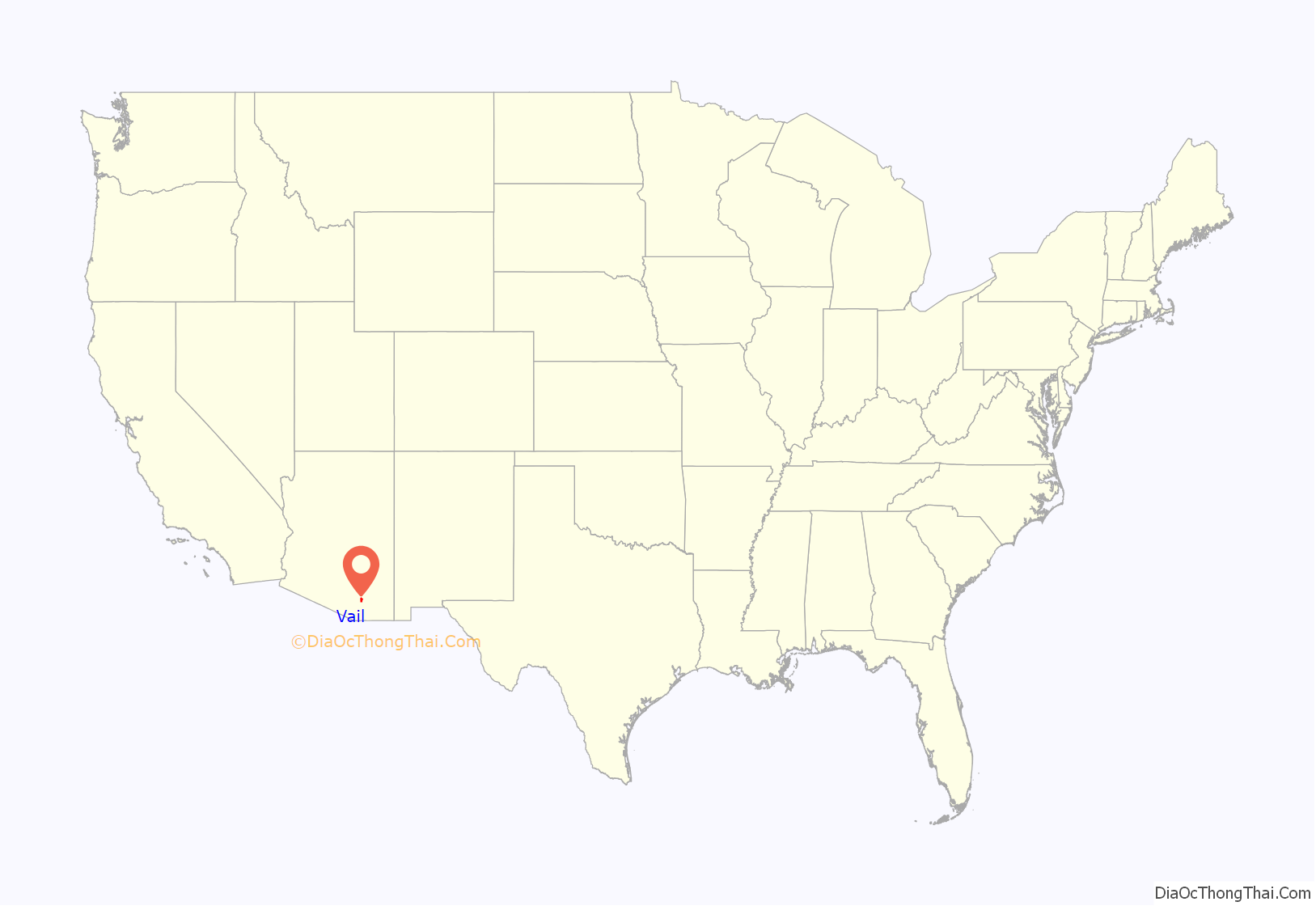
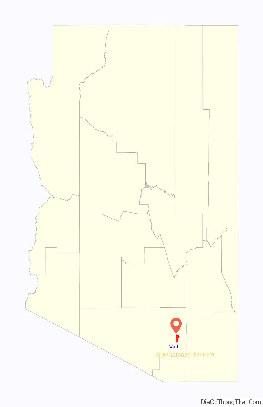
Vail location map. Where is Vail CDP?
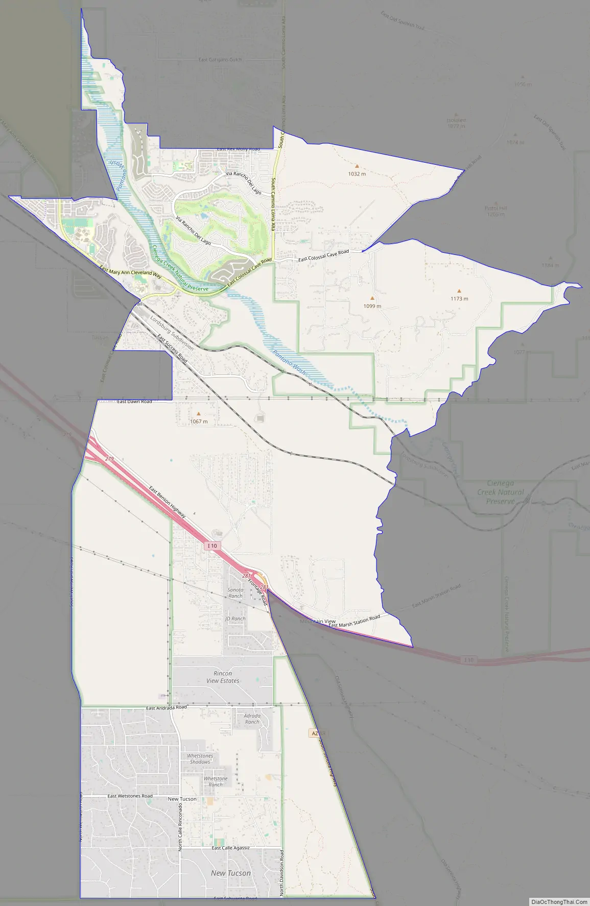
Vail Road Map
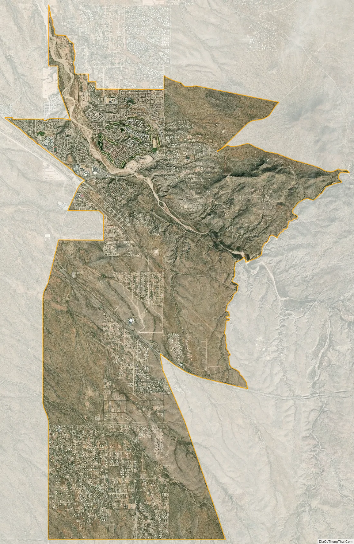
Vail city Satellite Map
Geography
Vail is located at 32°0′7″N 110°42′1″W / 32.00194°N 110.70028°W / 32.00194; -110.70028 (32.001939, -110.700286).
According to the United States Census Bureau, the CDP has a total area of 18.2 square miles (47 km), all land.
See also
Map of Arizona State and its subdivision: Map of other states:- Alabama
- Alaska
- Arizona
- Arkansas
- California
- Colorado
- Connecticut
- Delaware
- District of Columbia
- Florida
- Georgia
- Hawaii
- Idaho
- Illinois
- Indiana
- Iowa
- Kansas
- Kentucky
- Louisiana
- Maine
- Maryland
- Massachusetts
- Michigan
- Minnesota
- Mississippi
- Missouri
- Montana
- Nebraska
- Nevada
- New Hampshire
- New Jersey
- New Mexico
- New York
- North Carolina
- North Dakota
- Ohio
- Oklahoma
- Oregon
- Pennsylvania
- Rhode Island
- South Carolina
- South Dakota
- Tennessee
- Texas
- Utah
- Vermont
- Virginia
- Washington
- West Virginia
- Wisconsin
- Wyoming


