Map of Vernon CDP, Arizona

Map of Vernon CDP, Arizona

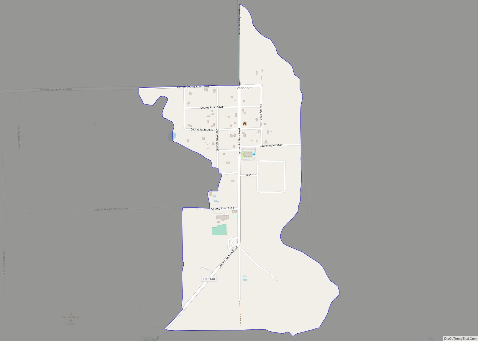
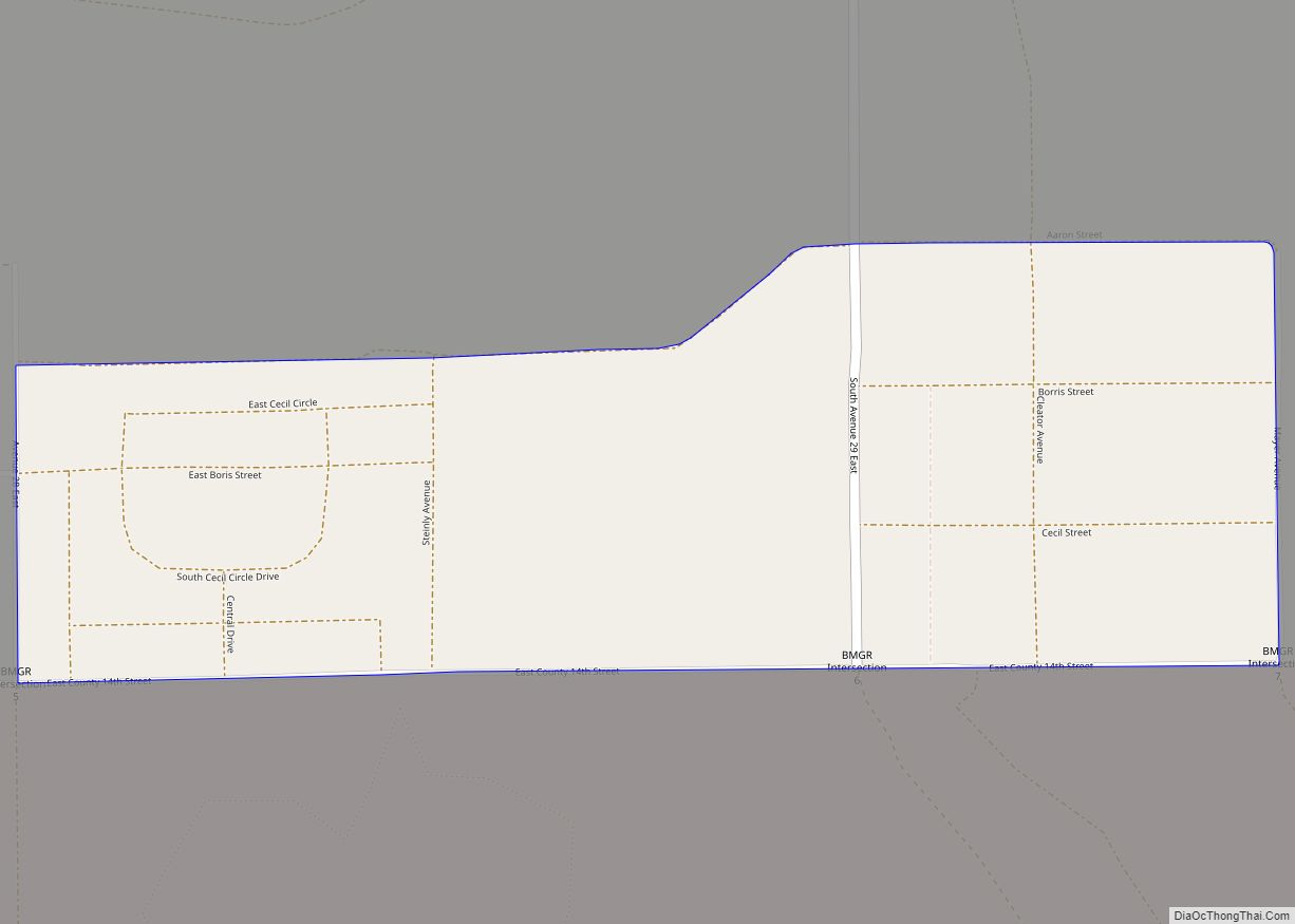
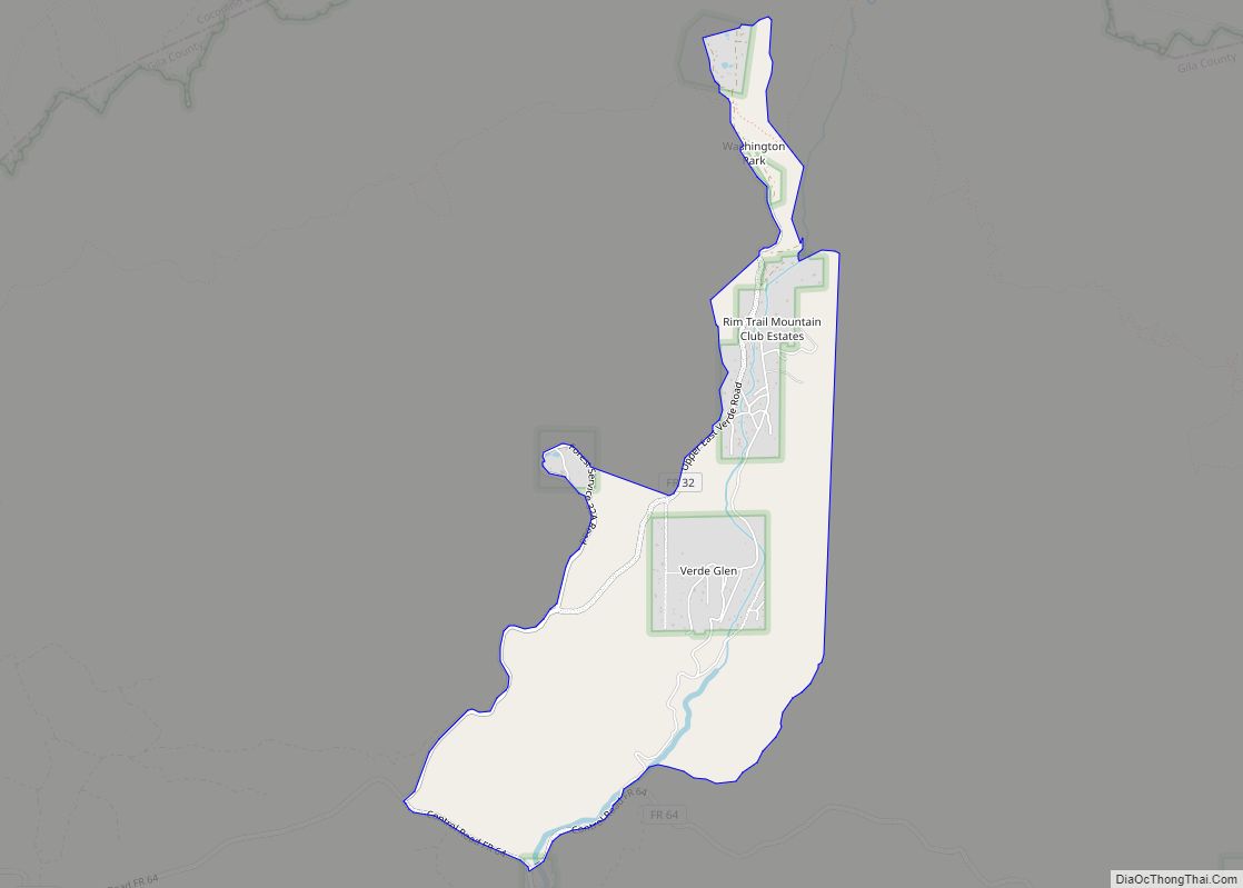
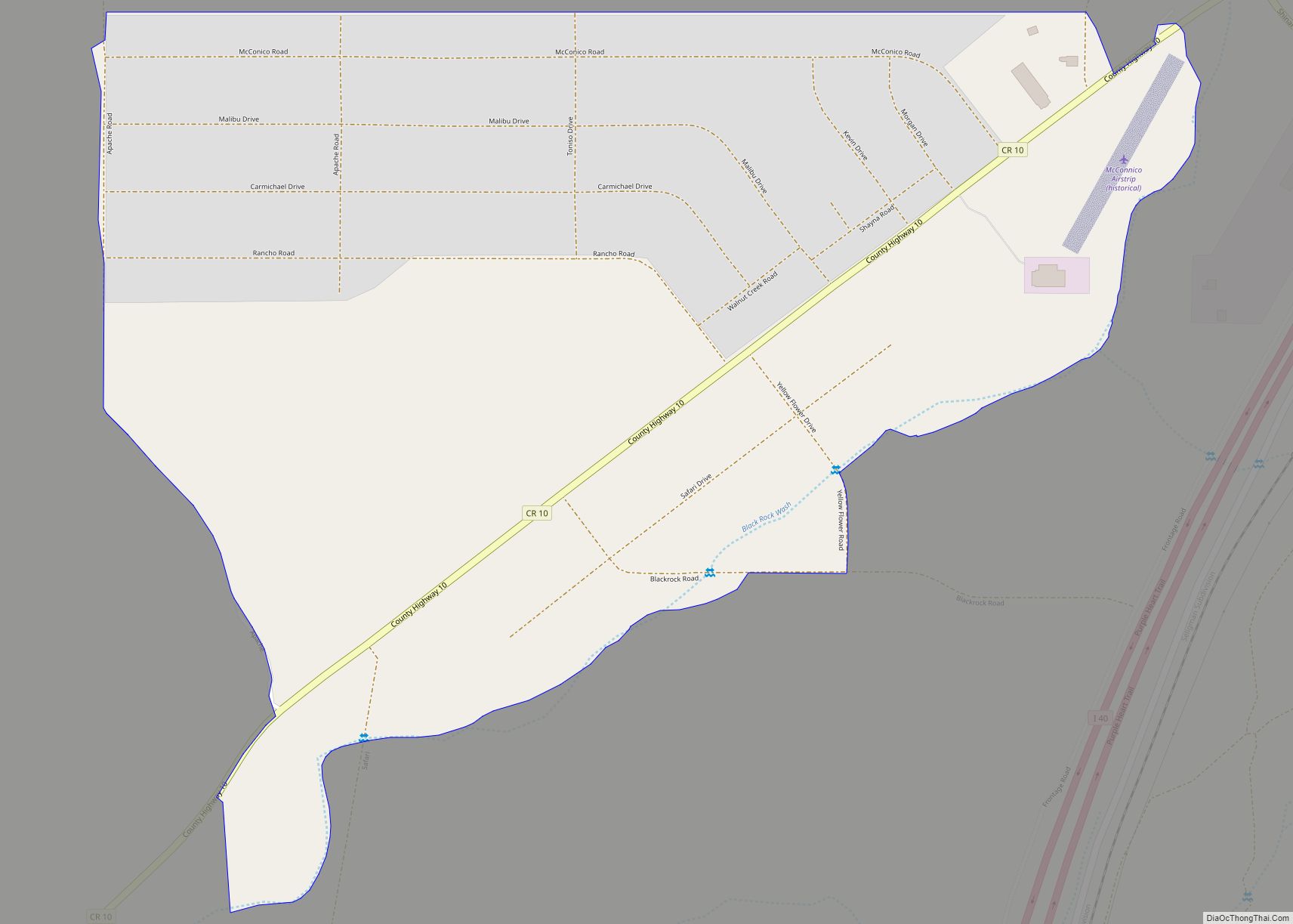
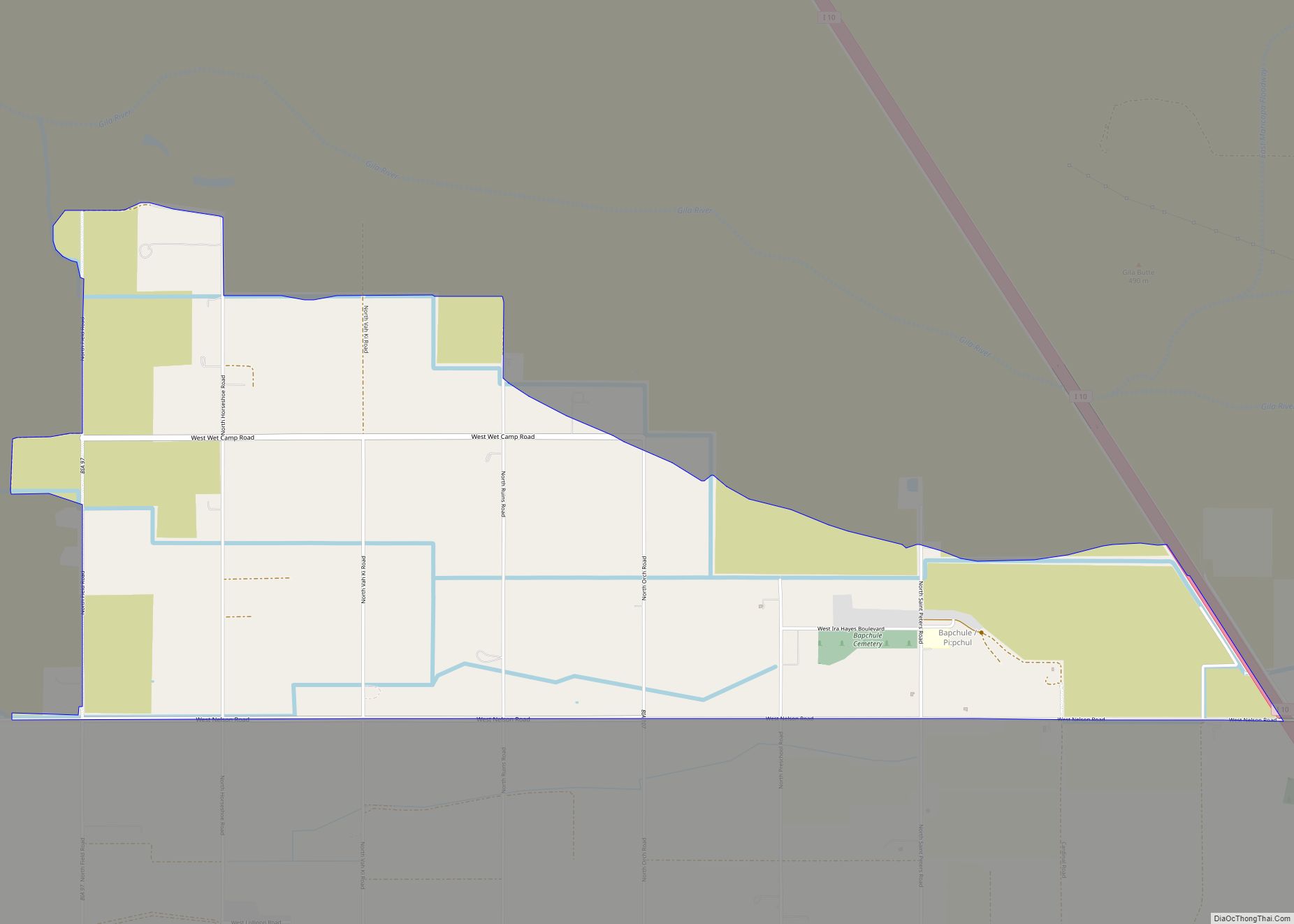
Vernon is an unincorporated community and census-designated place (CDP) in Apache County, Arizona, United States. As of the 2010 census it had a population of 122. Vernon is 19 miles (31 km) east of Show Low. Vernon has a post office with ZIP code 85940. Vernon was settled by B.H. Wilhelm Jr, who named it in … Read more

Map of Wall Lane CDP

Map of Wall Lane CDP

Wall Lane is a census-designated place in Yuma County, in the U.S. state of Arizona. The population was 415 at the 2010 census. Wall Lane CDP overview: Name: Wall Lane CDP LSAD Code: 57 LSAD Description: CDP (suffix) State: Arizona County: Yuma County Elevation: 112 ft (34 m) Total Area: 0.44 sq mi (1.13 km²) Land Area: 0.44 sq mi (1.13 km²) Water … Read more

Map of Wahak Hotrontk CDP

Map of Wahak Hotrontk CDP

Wahak Hotrontk also known as San Simon (O’odham) name translates as “Road Dips”, is a census-designated place in Pima County, in the U.S. state of Arizona. The population was 120 as of the 2020 census. It is located along Arizona State Route 86 on the Tohono O’odham Nation reservation. Wahak Hotrontk CDP overview: Name: Wahak … Read more

Map of Wagon Wheel CDP

Map of Wagon Wheel CDP

Wagon Wheel is a census-designated place in Navajo County, in the U.S. state of Arizona. The population was 1,652 at the 2010 census. Wagon Wheel CDP overview: Name: Wagon Wheel CDP LSAD Code: 57 LSAD Description: CDP (suffix) State: Arizona County: Navajo County Total Area: 2.53 sq mi (6.56 km²) Land Area: 2.53 sq mi (6.56 km²) Water Area: 0.00 sq mi (0.00 km²) … Read more

Map of Wellton Hills CDP

Map of Wellton Hills CDP

Wellton Hills is a census-designated place in Yuma County, in the U.S. state of Arizona. The population was 258 at the 2010 census. Wellton Hills CDP overview: Name: Wellton Hills CDP LSAD Code: 57 LSAD Description: CDP (suffix) State: Arizona County: Yuma County Elevation: 364 ft (111 m) Total Area: 0.64 sq mi (1.66 km²) Land Area: 0.64 sq mi (1.66 km²) Water … Read more

Map of Washington Park CDP

Map of Washington Park CDP, Arizona

Washington Park is a census-designated place (CDP) in Gila County, Arizona, United States. The population was 70 at the 2010 United States Census. Washington Park CDP overview: Name: Washington Park CDP LSAD Code: 57 LSAD Description: CDP (suffix) State: Arizona County: Gila County Elevation: 5,600 ft (1,700 m) Total Area: 2.62 sq mi (6.79 km²) Land Area: 2.62 sq mi (6.79 km²) Water … Read more

Map of Walnut Creek CDP

Map of Walnut Creek CDP, Arizona

Walnut Creek is an unincorporated community and census-designated place (CDP) in Mohave County, in the U.S. state of Arizona. The population was 571 at the 2020 census. Walnut Creek CDP overview: Name: Walnut Creek CDP LSAD Code: 57 LSAD Description: CDP (suffix) State: Arizona County: Mohave County Total Area: 1.53 sq mi (3.97 km²) Land Area: 1.53 sq mi (3.97 km²) … Read more

Map of Wet Camp Village CDP

Map of Wet Camp Village CDP

Wet Camp Village is a census-designated place in Pinal County, in the U.S. state of Arizona. The population was 229 at the 2010 census. Wet Camp Village CDP overview: Name: Wet Camp Village CDP LSAD Code: 57 LSAD Description: CDP (suffix) State: Arizona County: Pinal County Total Area: 4.60 sq mi (11.90 km²) Land Area: 4.60 sq mi (11.90 km²) Water … Read more

Map of Wenden CDP

Map of Wenden CDP

Wenden is an unincorporated community in La Paz County, Arizona, United States. The population was 728 at the 2010 census, up from 556 in 2000. For statistical purposes the United States Census Bureau has designated Wenden as a census-designated place (CDP). Wenden CDP overview: Name: Wenden CDP LSAD Code: 57 LSAD Description: CDP (suffix) State: … Read more

Map of Wellton town

Map of Wellton town

Wellton is a town in Yuma County, Arizona, United States. According to the 2010 census, the population of the town is 2,882. It is part of the Yuma Metropolitan Statistical Area. Wellton town overview: Name: Wellton town LSAD Code: 43 LSAD Description: town (suffix) State: Arizona County: Yuma County Incorporated: 1970 Elevation: 246 ft (75 m) Total … Read more

Map of Whispering Pines CDP

Map of Whispering Pines CDP, Arizona

Whispering Pines is a census-designated place (CDP) in Gila County, Arizona, United States. It is one of two locations in Arizona with this name, the other being a populated place in Greenlee County. The population was 148 at the 2010 United States Census. Whispering Pines CDP overview: Name: Whispering Pines CDP LSAD Code: 57 LSAD … Read more

Map of Whetstone CDP

Map of Whetstone CDP

Whetstone is a census-designated place (CDP) in Cochise County, Arizona, United States, north of Sierra Vista. The population was 2,617 at the 2010 census. Whetstone CDP overview: Name: Whetstone CDP LSAD Code: 57 LSAD Description: CDP (suffix) State: Arizona County: Cochise County Elevation: 4,072 ft (1,241 m) Total Area: 93.96 sq mi (243.36 km²) Land Area: 93.96 sq mi (243.34 km²) Water Area: … Read more