Whetstone is a census-designated place (CDP) in Cochise County, Arizona, United States, north of Sierra Vista. The population was 2,617 at the 2010 census.
| Name: | Whetstone CDP |
|---|---|
| LSAD Code: | 57 |
| LSAD Description: | CDP (suffix) |
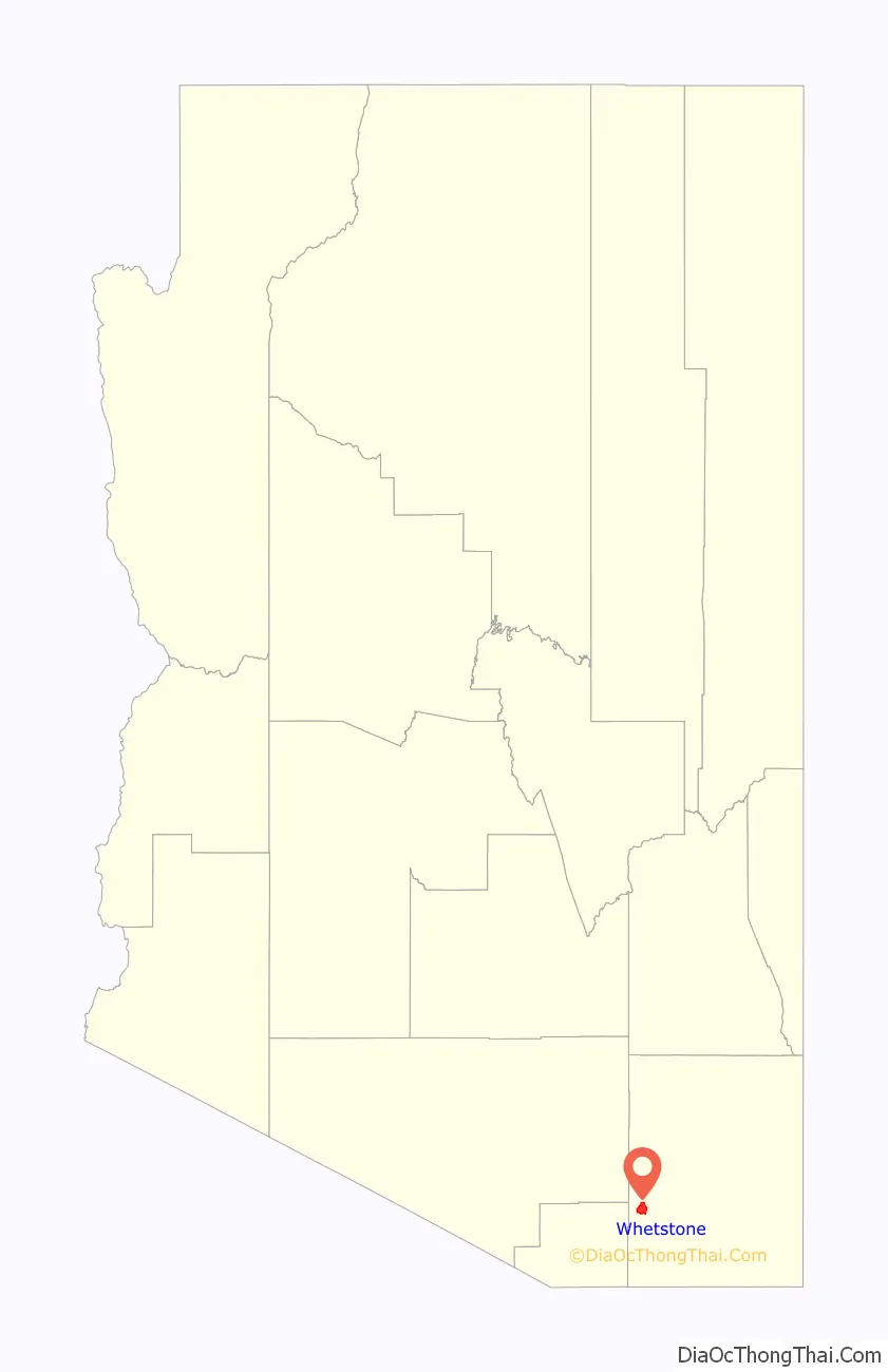
| State: | Arizona |
| County: | Cochise County |
| Elevation: | 4,072 ft (1,241 m) |
| Total Area: | 93.96 sq mi (243.36 km²) |
| Land Area: | 93.96 sq mi (243.34 km²) |
| Water Area: | 0.01 sq mi (0.01 km²) |
| Total Population: | 3,236 |
| Population Density: | 34.44/sq mi (13.30/km²) |
| ZIP code: | 85616 |
| Area code: | 520 |
| FIPS code: | 0482156 |
| GNISfeature ID: | 0024685 |
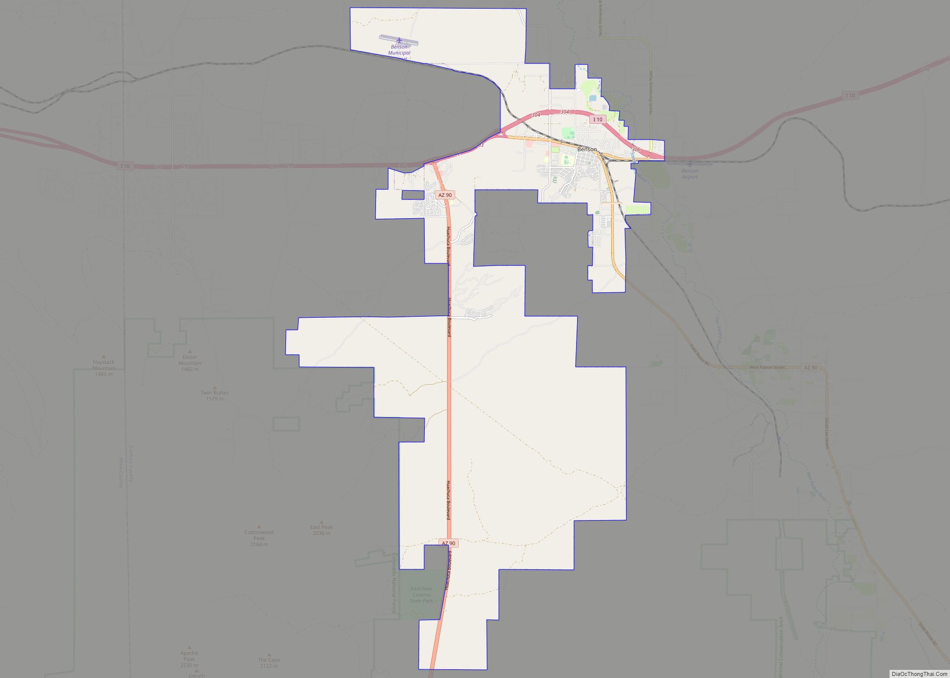
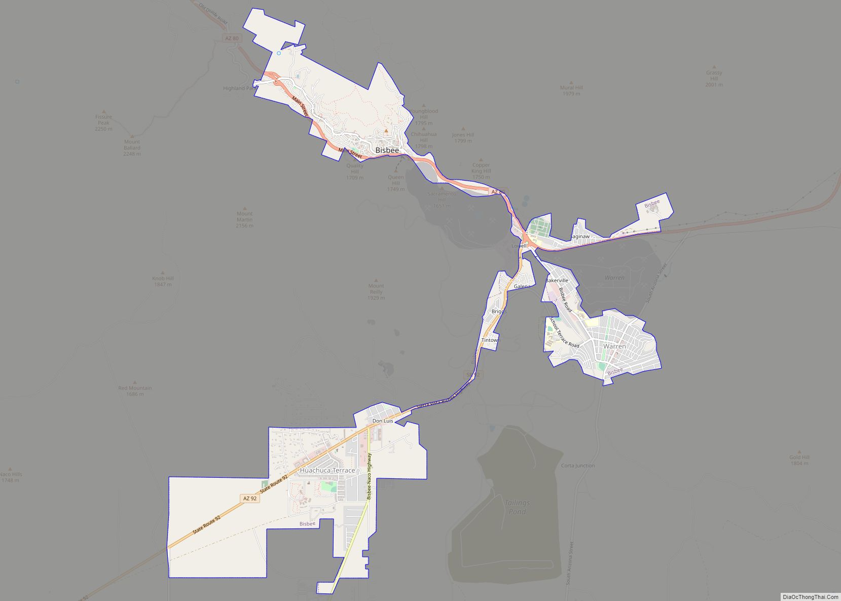
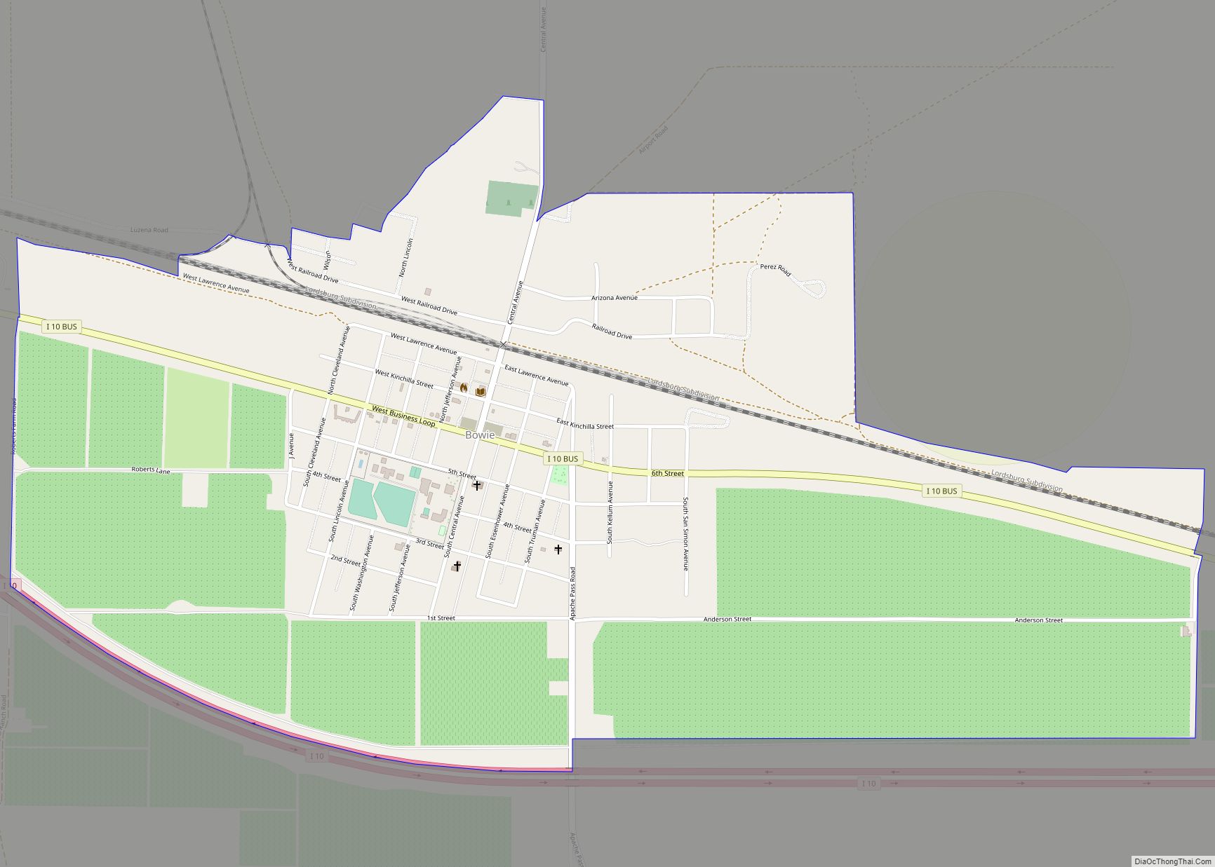
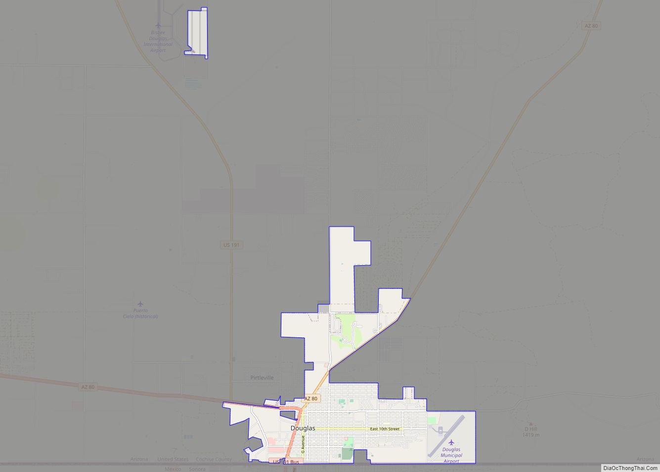
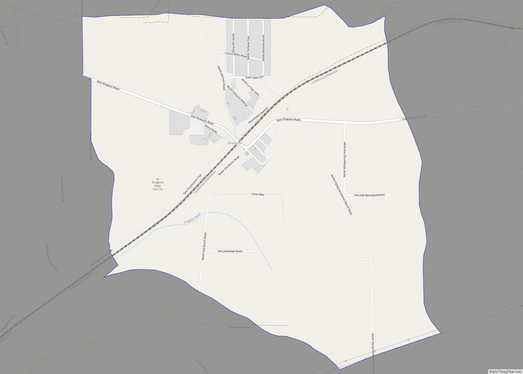
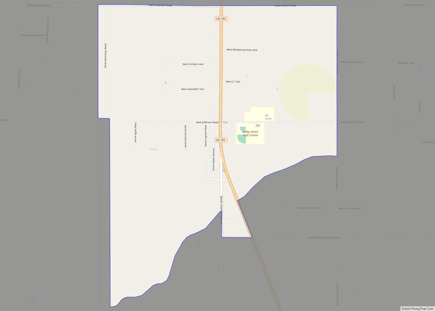
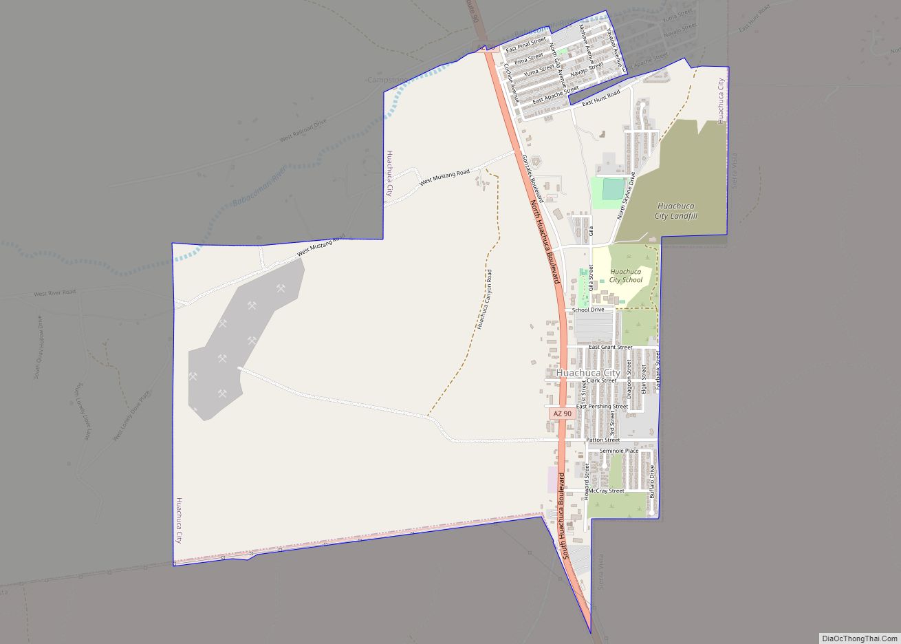
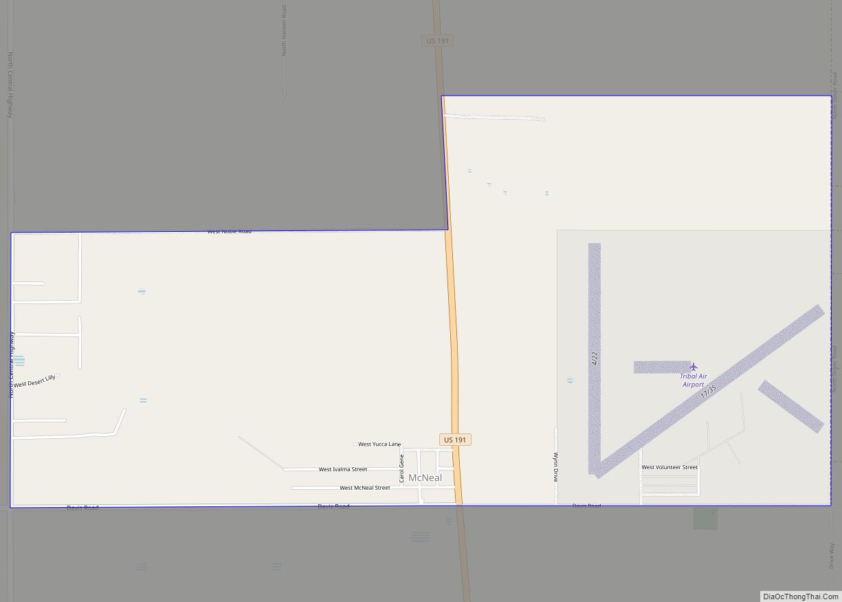
Online Interactive Map
Click on ![]() to view map in "full screen" mode.
to view map in "full screen" mode.
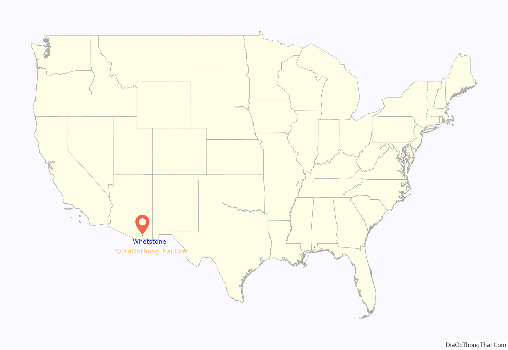
Whetstone location map. Where is Whetstone CDP?
History
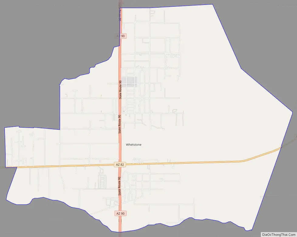
Whetstone was often referred to as the “Y” because the intersection of State routes 82 and 90 had an eastbound lane on 90 and a southbound lane on 82 that created a Y at the intersection. Highway 90 ended one to two miles further north and people traveling north had to go via highway 82 east or west and then north on either highway 83 or highway 80.
Whetstone Road Map
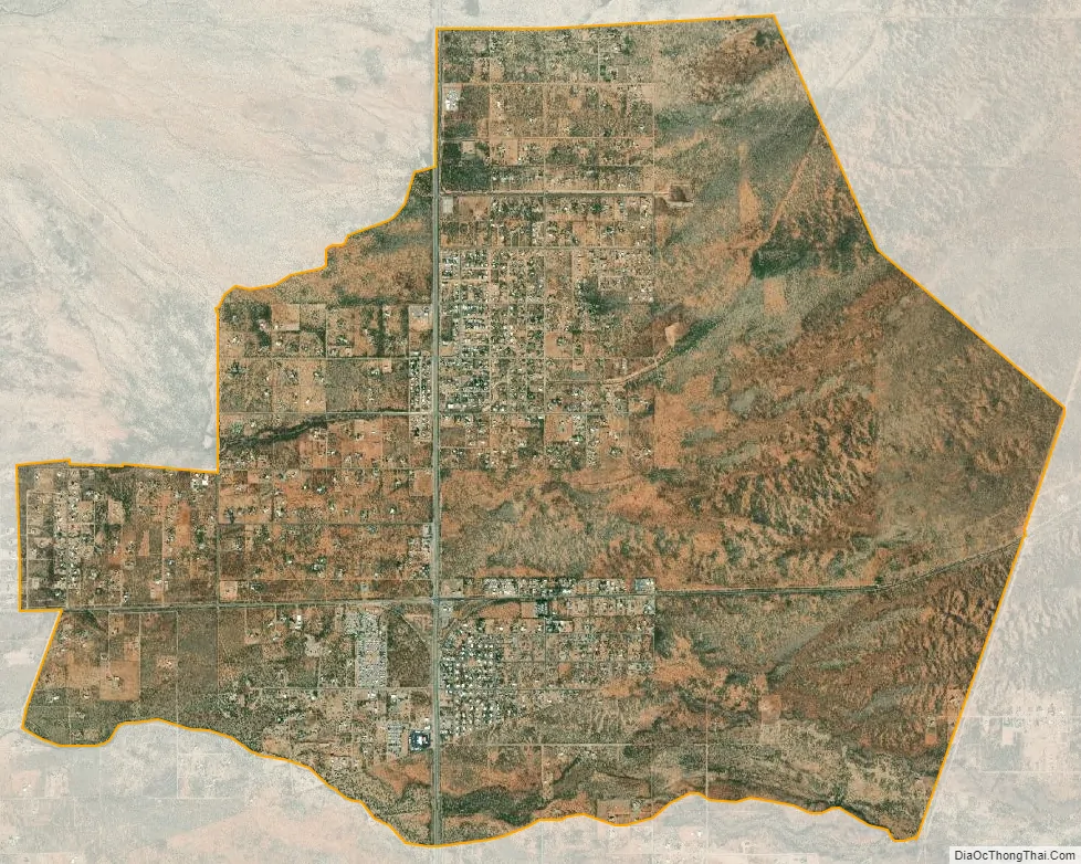
Whetstone city Satellite Map
Geography
Whetstone is located at 31°42′14″N 110°20′53″W / 31.70389°N 110.34806°W / 31.70389; -110.34806 (31.703917, -110.347996).
According to the United States Census Bureau, the CDP has a total area of 11.8 square miles (31 km), all land.
See also
Map of Arizona State and its subdivision: Map of other states:- Alabama
- Alaska
- Arizona
- Arkansas
- California
- Colorado
- Connecticut
- Delaware
- District of Columbia
- Florida
- Georgia
- Hawaii
- Idaho
- Illinois
- Indiana
- Iowa
- Kansas
- Kentucky
- Louisiana
- Maine
- Maryland
- Massachusetts
- Michigan
- Minnesota
- Mississippi
- Missouri
- Montana
- Nebraska
- Nevada
- New Hampshire
- New Jersey
- New Mexico
- New York
- North Carolina
- North Dakota
- Ohio
- Oklahoma
- Oregon
- Pennsylvania
- Rhode Island
- South Carolina
- South Dakota
- Tennessee
- Texas
- Utah
- Vermont
- Virginia
- Washington
- West Virginia
- Wisconsin
- Wyoming