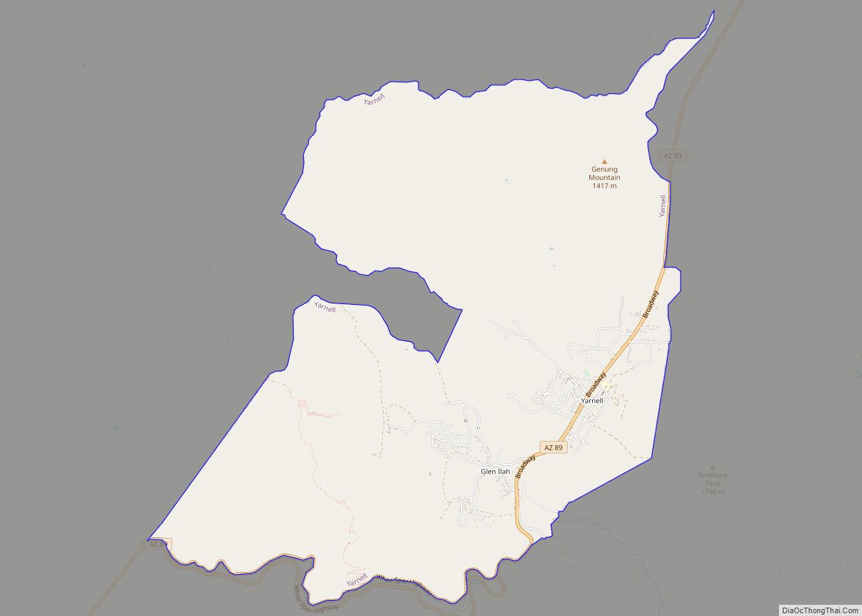
Map of York CDP, Arizona
York, also known as York Valley, is a census-designated place in Greenlee County, Arizona, United States. As of the 2010 census, the population was 557. It is located along Arizona State Route 75, 12 miles (19 km) south of Clifton, the Greenlee County seat, and 16 miles (26 km) north of Duncan. Most residents work for Freeport-McMoRan ... Read more
Map of York CDP, Arizona
Map of Yucca CDP
Yucca is an unincorporated community and census-designated place (CDP) in Mohave County, Arizona, United States. As of the 2020 census it had a population of 96, down from 126 at the 2010 census. Located along Interstate 40, it lies southwest of Kingman, just east of the southern section of the Black Mountains and west of ... Read more
Map of Yucca CDP
Map of Youngtown town
Youngtown is a town in Maricopa County, Arizona, United States. As of the 2020 census, the population of the town was 7,056, up from 6,156 in 2010. It is part of the Phoenix metropolitan area. Youngtown town overview: Name: Youngtown town LSAD Code: 43 LSAD Description: town (suffix) State: Arizona County: Maricopa County Elevation: 1,132 ft ... Read more
Map of Youngtown town