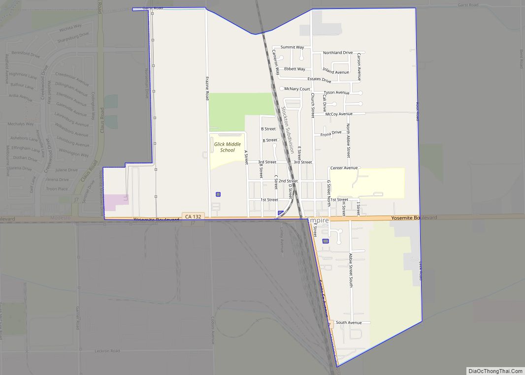
Map of Eucalyptus Hills CDP

Map of Eucalyptus Hills CDP

Eucalyptus Hills is a census-designated place in the East County region of San Diego County, California. Eucalyptus Hills sits at an elevation of 627 feet (191 m). The 2020 United States census reported Eucalyptus Hills’s population as 5,517, up from 5,313 in the 2010 census. Eucalyptus Hills CDP overview: Name: Eucalyptus Hills CDP LSAD Code: 57 … Read more

Map of Etna city

Map of Etna city, California

Etna is a city in the Scott Valley area of Siskiyou County, California, United States. Its population is 678 as of the 2020 census, down from 737 from the 2010 census. Etna city overview: Name: Etna city LSAD Code: 25 LSAD Description: city (suffix) State: California County: Siskiyou County Incorporated: March 13, 1878 Elevation: 2,936 ft … Read more

Map of Esparto CDP

Map of Esparto CDP

Esparto (Spanish for “Halfah grass”) is a census-designated place (CDP) in Yolo County, California, United States. It is part of the Sacramento–Arden-Arcade–Roseville Metropolitan Statistical Area. The population was 3,108 at the 2010 census. Esparto CDP overview: Name: Esparto CDP LSAD Code: 57 LSAD Description: CDP (suffix) State: California County: Yolo County Elevation: 58 m (190 ft) Total … Read more

Map of Fair Oaks CDP

Map of Fair Oaks CDP, California

Fair Oaks is a census-designated place (CDP) in Sacramento County, California, United States. It is part of the Sacramento–Arden-Arcade–Roseville Metropolitan Statistical Area. The population was 32,514 at the 2020 census, up from 30,912 at the 2010 census. The Fair Oaks zip code is 95628 and its area codes are 916 and 279. It is bordered … Read more

Map of Exeter city

Map of Exeter city, California

Exeter is a city in Tulare County, California, United States. It is situated in the San Joaquin Valley near the foothills of the Sierra Nevada. The population was 10,321 at the 2020 census, down from 10,334 at the 2010 census. Exeter is located on State Highway 65, 2 miles (3.2 km) south of Highway 198 and … Read more

Map of Eureka city

Map of Eureka city, California

Eureka (Wiyot: Jaroujiji, Hupa: do’-wi-lotl-ding, Karuk: uuth) is the principal city and county seat of Humboldt County in the Redwood Empire region of California. The city is located on U.S. Route 101 on the shores of Humboldt Bay, 270 miles (435 km) north of San Francisco and 100 miles (161 km) south of the Oregon border. At … Read more

Map of Fairhaven CDP

Map of Fairhaven CDP, California

Fairhaven (formerly Rolph) is an unincorporated community and census-designated place (CDP) adjacent to Humboldt Bay in Humboldt County, California, United States. It is located 2.25 miles (3.6 km) west-southwest of downtown Eureka, at an elevation of 10 feet (3.0 m) above sea level. In 1867, Hans Ditlev Bendixsen opened a ship building yard in Fairhaven. Bendixsen built … Read more

Map of Fairfax town

Map of Fairfax town, California

Fairfax is an incorporated town in Marin County, California, United States. Fairfax is located 3.25 miles (5.2 km) west-northwest of San Rafael, at an elevation of 115 feet (35 m). The population was 7,605 at the 2020 census. Fairfax town overview: Name: Fairfax town LSAD Code: 43 LSAD Description: town (suffix) State: California County: Marin County Incorporated: … Read more

Map of Fairbanks Ranch CDP

Map of Fairbanks Ranch CDP

Fairbanks Ranch is a census-designated place (CDP) in San Diego County, California. The population was 3,148 at the 2010 census, up from 2,244 at the 2000 census. The entire population is contained within two gated communities, divided into North and South sections by the formerly private San Dieguito Road. The Fairbanks Ranch community borders Rancho … Read more

Map of Fall River Mills CDP

Map of Fall River Mills CDP

Fall River Mills, colloquially referred to as Fall River, is an unincorporated town and census-designated place (CDP) in Shasta County, California, United States. Its population is 616 as of the 2020 census, up from 573 from the 2010 census. Fall River Mills CDP overview: Name: Fall River Mills CDP LSAD Code: 57 LSAD Description: CDP … Read more

Map of Fairview CDP, California

Map of Fairview CDP, California

Fairview is a census-designated place (CDP) in Alameda County, California, United States. It borders on the city of Hayward and the census-designated place of Castro Valley. The population was 11,341 at the 2020 census. Fairview CDP overview: Name: Fairview CDP LSAD Code: 57 LSAD Description: CDP (suffix) State: California County: Alameda County Elevation: 597 ft (182 m) … Read more

Map of Fairmead CDP

Map of Fairmead CDP

Fairmead is a census-designated place in Madera County, California, United States. It is located 11 miles (18 km) northwest of Madera, at an elevation of 253 feet (77 m), and bordered to the northwest by Chowchilla. The population was 1,235 at the 2020 census. A post office operated at Fairmead from 1913 to 1940. The community is … Read more