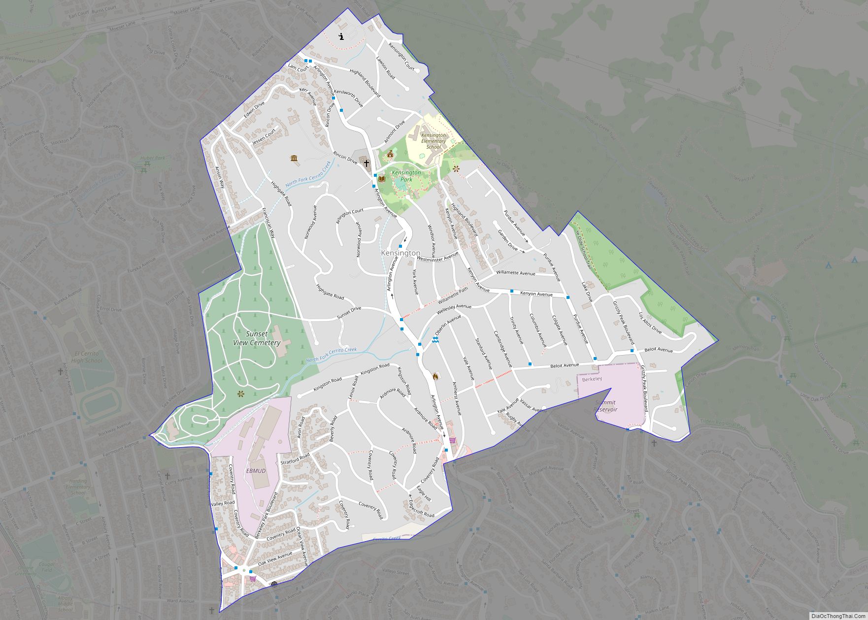
Kensington is an unincorporated community and census designated place located in the Berkeley Hills, in the East Bay, part of the San Francisco Bay Area, in Contra Costa County, California. In the 20th century it was considered part of Berkeley, although it is across the county line. House numbers follow the pattern used in Berkeley, ... Read more
California Cities and Places
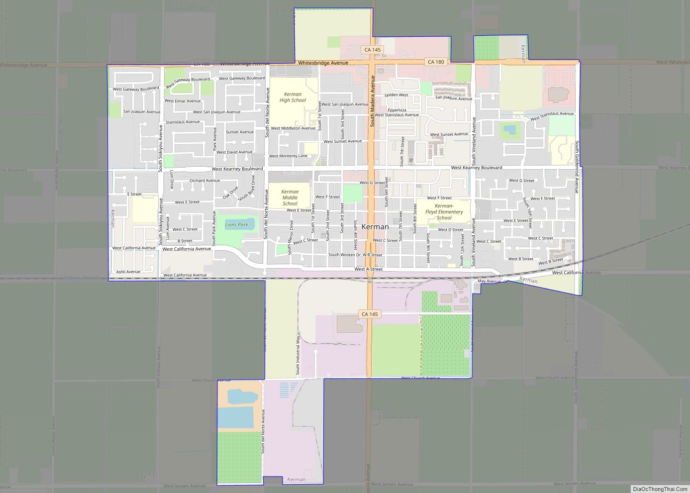
Kerman (formerly Collis) is a city at the intersection of State Route 180 and State Route 145 in Fresno County, California, United States. The population was 13,544 at the 2010 census. Kerman is located 15 miles (24 km) west of Fresno, at an elevation of 220 feet (67 m). Kerman city overview: Name: Kerman city LSAD ... Read more
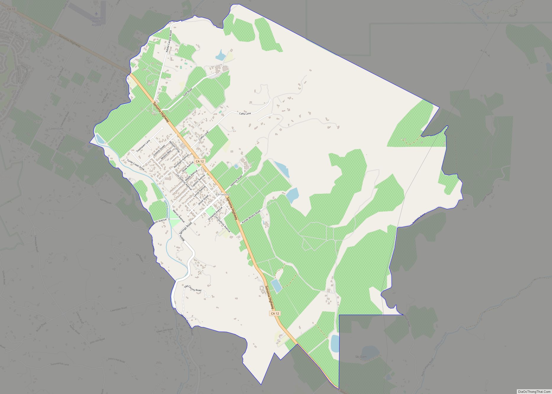
Kenwood is an unincorporated community and census-designated place (CDP) in Sonoma County, California, located on Sonoma Highway (State Route 12) between the cities of Santa Rosa and Sonoma. It lies east of Sonoma Creek in the upper part of Sonoma Valley, a region sometimes called the Valley of the Moon. Bennett Mountain lies west of ... Read more
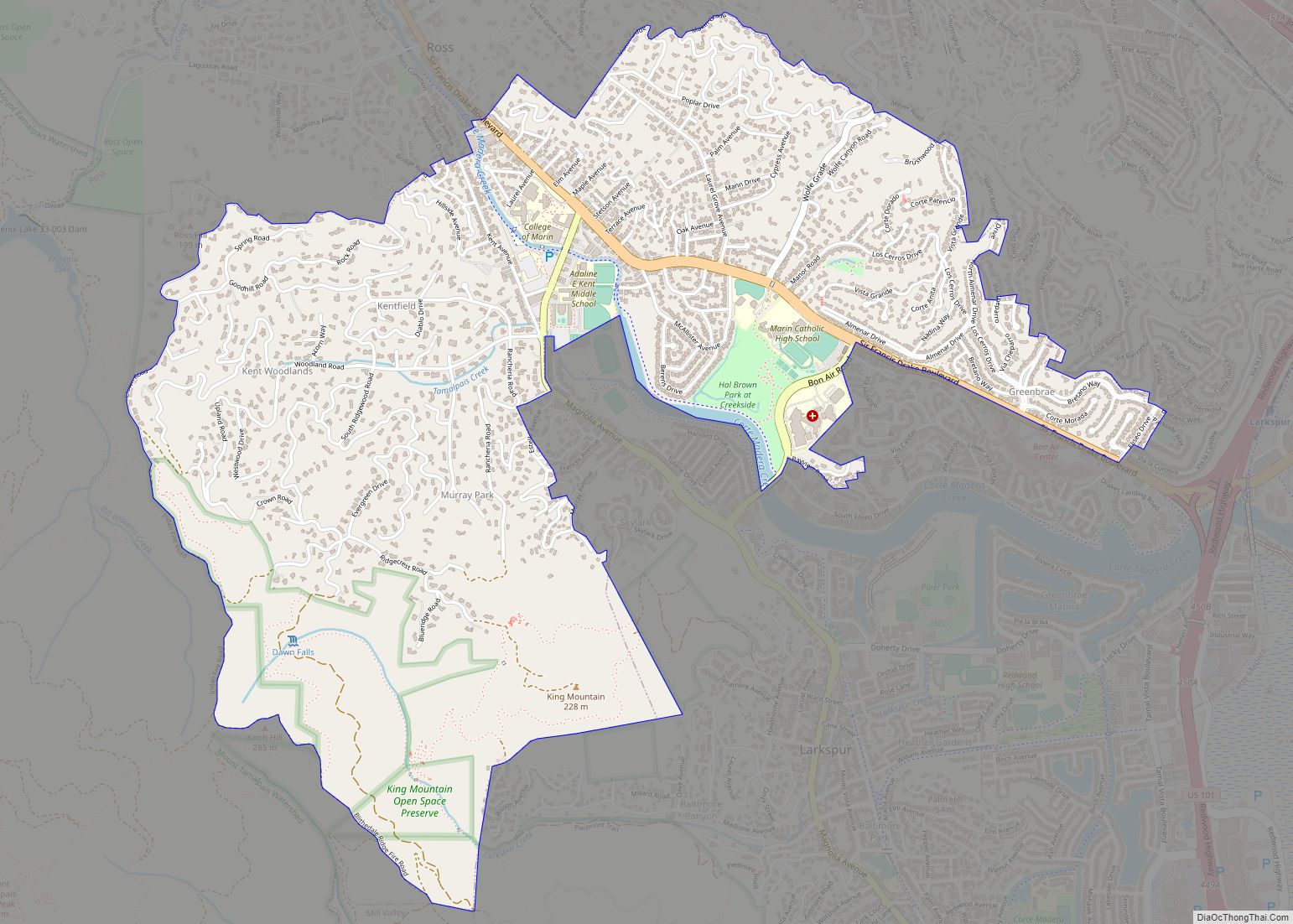
Kentfield (formerly Ross Landing, Tamalpais, and Kent) is a census-designated place (CDP) in Marin County, California, United States, just north of San Francisco. Kentfield is located 2 miles (3 km) southwest of downtown San Rafael, at an elevation of 115 feet (35 m). The population was 6,808 at the 2020 census. The ZIP codes are 94904 ... Read more
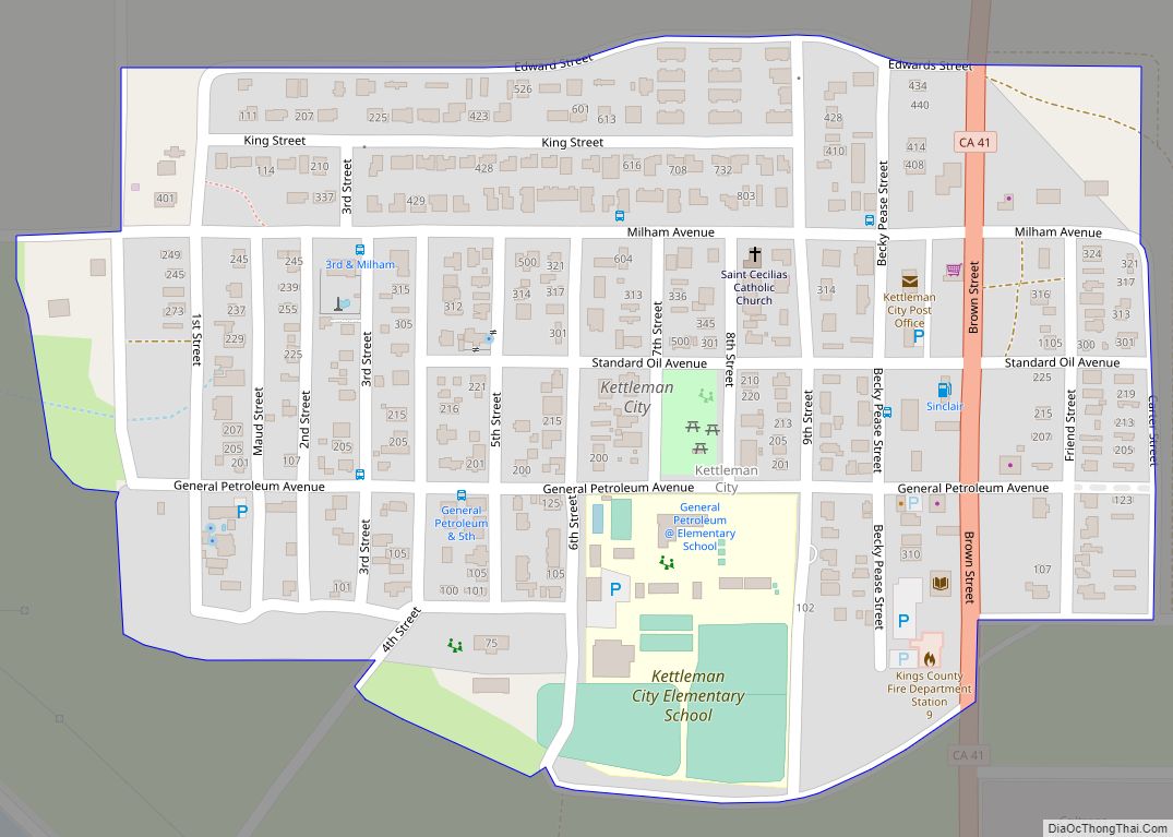
Kettleman City is a census-designated place (CDP) in Kings County, California, United States. Kettleman City is located 28 miles (45 km) southwest of Hanford, 54 miles (88 km) south of Fresno, at an elevation of 253 feet (77 m), and sits only about 1/2 mile north of the 36th parallel north latitude. It is part of the ... Read more
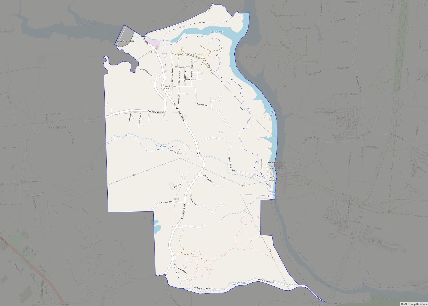
Keswick is a census-designated place (CDP) in Shasta County, California. Keswick sits at an elevation of 732 feet (223 m). Its population is 188 as of the 2020 census, down from 451 from the 2010 census. Keswick CDP overview: Name: Keswick CDP LSAD Code: 57 LSAD Description: CDP (suffix) State: California County: Shasta County Elevation: 732 ft ... Read more
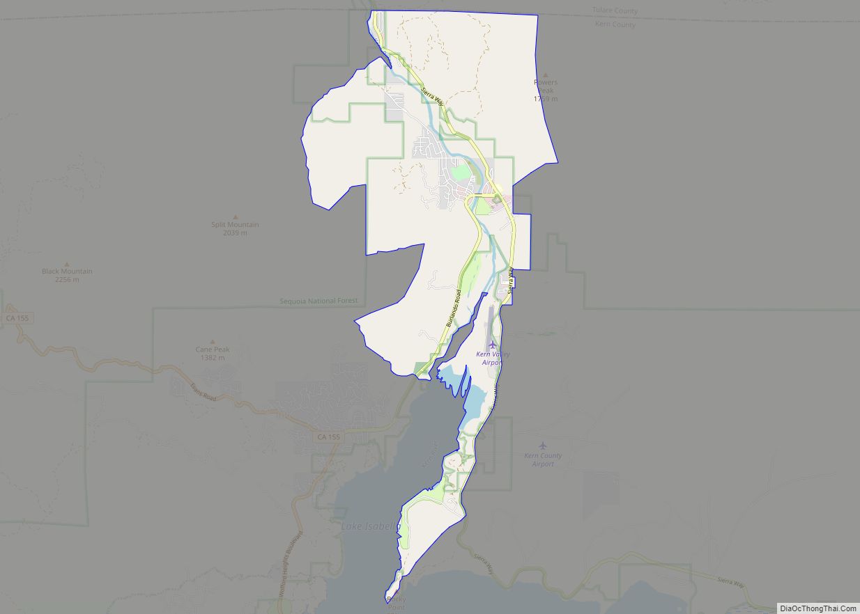
Kernville is a census-designated place (CDP) in the southern Sierra Nevada, in Kern County, California, United States. Kernville is located 42 miles (68 km) northeast of Bakersfield, at an elevation of 2,667 feet (813 m). The population was 1,549 at the 2020 United States census, up from 1,395 at the 2010 census, but below the 2000 census ... Read more
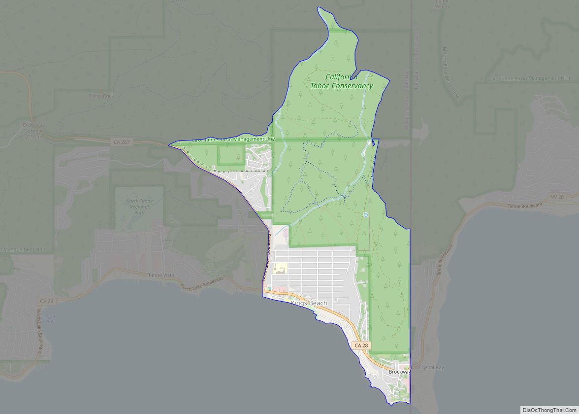
Kings Beach is a census-designated place (CDP) in Placer County, California, United States, on the north shore of Lake Tahoe. The population was 3,563 at the 2020 census. The town’s post office was erected in 1937. The area is named after its first postmaster, Joe King. Kings Beach CDP overview: Name: Kings Beach CDP LSAD ... Read more
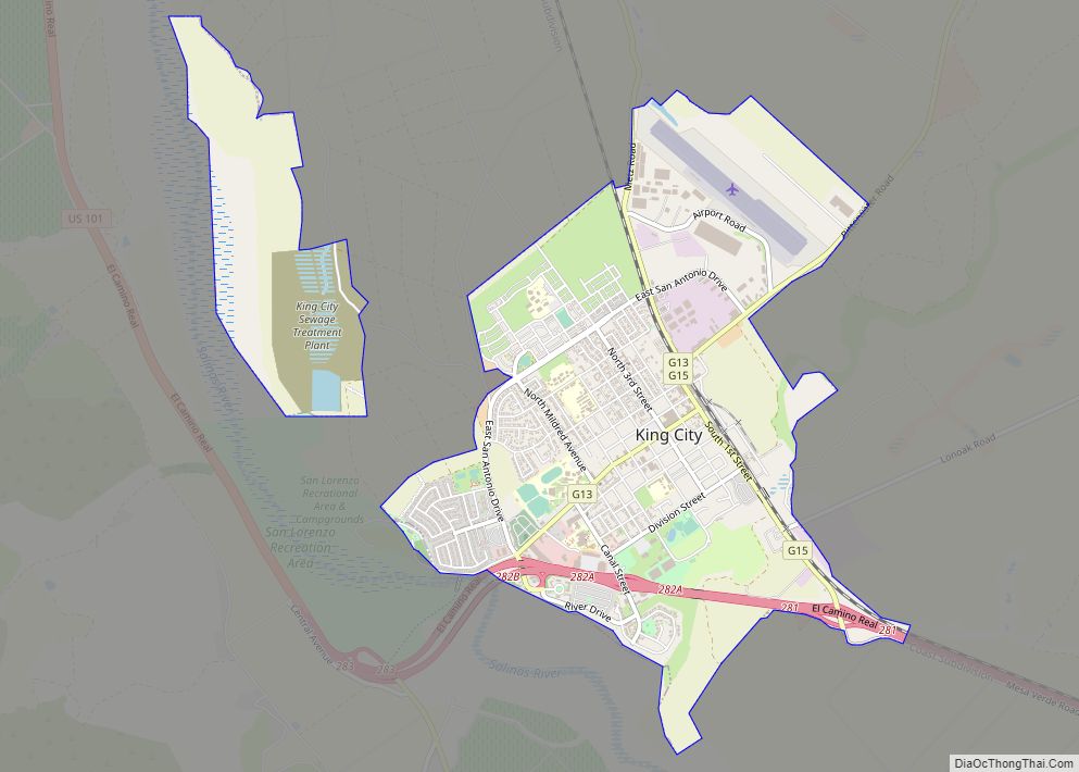
King City (variant: Kings City) is a city in Monterey County, California, United States. It is located on the Salinas River 51 miles (82 km) southeast of Salinas, at an elevation of 335 feet (102 m). It lies along U.S. Route 101 in the Salinas Valley of California’s Central Coast. King City is a member of the ... Read more
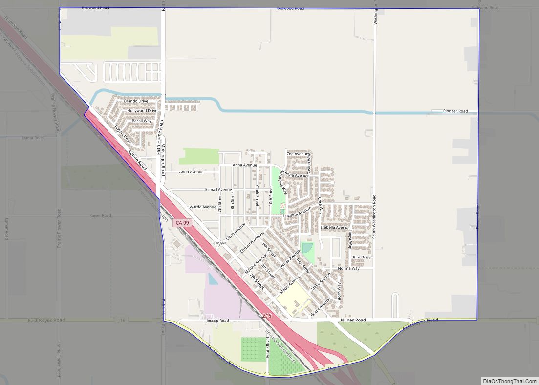
Keyes is a census-designated place (CDP) in Stanislaus County, California, United States. The population was 5,601 at the 2010 census, up from 4,575 at the 2000 census. It is part of the Modesto Metropolitan Statistical Area. Keyes CDP overview: Name: Keyes CDP LSAD Code: 57 LSAD Description: CDP (suffix) State: California County: Stanislaus County Elevation: ... Read more
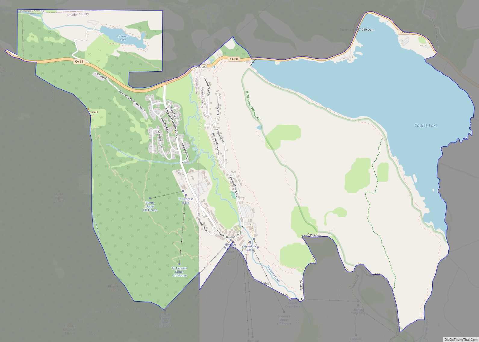
Kirkwood (formerly Kirk, Kirkwood’s, and Roundtop) is an unincorporated community in Alpine and Amador counties, California, United States. Kirkwood’s main attraction is the Kirkwood Mountain Resort. The town is accessible by State Route 88. Kirkwood is within the Eldorado National Forest. The population was 158 at the 2010 census. For statistical purposes, the United States ... Read more
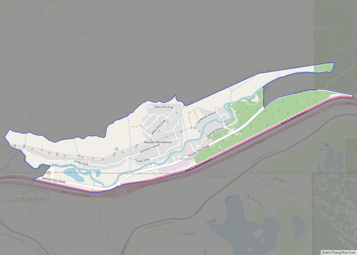
Kingvale is a census-designated place (CDP) in Placer County and Nevada County, California, United States. The CDP straddles the border of the two counties, with Nevada County to the north and Placer County to the south. It is located near Soda Springs, 5.5 mi (8.9 km) west of Donner Pass. Kingvale was listed on an official map ... Read more
