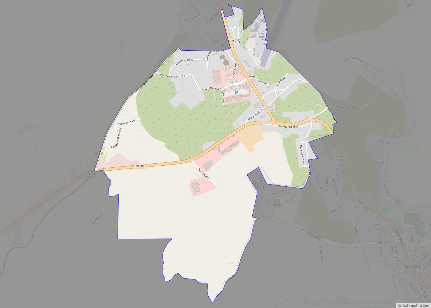
Map of Maxwell CDP

Map of Maxwell CDP, California

Maxwell (formerly, Occident) is a census-designated place and farm community in Colusa County, California. It lies at an elevation of 92 feet (28 m). Located off Interstate 5, it is home to Maxwell High School. The main crop grown is rice, though a variety of others such as grapes, almonds, olives, squash, and sunflowers are … Read more

Map of Mather CDP

Map of Mather CDP, California

Mather (/ˈmeɪ.θər/ MAY-ther) is a census-designated place in Sacramento County, California. Mather sits at an elevation of 108 feet (33 m). The 2010 United States census reported Mather’s population was 4,451. It is the site of the former Mather Air Force Base, closed by the federal government in 1993. Mather CDP overview: Name: Mather CDP LSAD … Read more

Map of Matheny CDP

Map of Matheny CDP, California

Matheny is a census-designated place (CDP) in Tulare County, California. Matheny sits at an elevation of 269 feet (82 m). The 2010 United States census reported Matheny’s population was 1,212. Matheny’s water system, Pratt Mutual, has elevated arsenic levels. Matheny residents are attempting to merge Pratt Mutual into Tulare‘s water utility. On April 1, 2016, the … Read more

Map of Mayflower Village CDP

Map of Mayflower Village CDP

Mayflower Village is a census-designated place (CDP) in the San Gabriel Valley, in Los Angeles County, California, United States. The population was 5,515 at the 2010 census, up from 5,081 at the 2000 census. The ZIP Codes serving the community are 91006, which is served by Arcadia and 91016, which is served by Monrovia. Mayflower … Read more

Map of Mayfair CDP

Map of Mayfair CDP

Mayfair is a census-designated place in Fresno County, California, United States. Mayfair sits at an elevation of 249 feet (76 m). The 2010 U.S. census reported Mayfair’s population was 4,589. Mayfair CDP overview: Name: Mayfair CDP LSAD Code: 57 LSAD Description: CDP (suffix) State: California County: Fresno County Elevation: 315 ft (96 m) Total Area: 0.518 sq mi (1.341 km²) Land … Read more

Map of Maywood city

Map of Maywood city, California

Maywood is a small Gateway city in Los Angeles County. At 1.18 square miles (3.1 km), Maywood is the third-smallest incorporated city in Los Angeles County. It is bordered by the cities of Bell on the south, Vernon on the north and west, Huntington Park on the southwest, and Commerce on the east. As of July … Read more

Map of McClenney Tract CDP

Map of McClenney Tract CDP

McClenney Tract is a census-designated place (CDP) in Tulare County, California. McClenney Tract sits at an elevation of 4,875 feet (1,486 m). The 2020 United States census reported McClenney Tract’s population was 15, up from 10 at the 2010 census. McClenney Tract CDP overview: Name: McClenney Tract CDP LSAD Code: 57 LSAD Description: CDP (suffix) State: … Read more

Map of McClellan Park CDP

Map of McClellan Park CDP

McClellan Park is a census-designated place (CDP) in Sacramento County, California. McClellan Park sits at an elevation of 69 feet (21 m). The 2010 United States Census reported that McClellan Park’s population was 743. It is the site of the former McClellan Air Force Base, closed by the federal government in 2003. McClellan Air Force Base … Read more

Map of McArthur CDP

Map of McArthur CDP, California

McArthur is a census-designated place (CDP) in Shasta County, California, United States. Its population is 334 as of the 2020 census, down from 338 from the 2010 census. McArthur is a small ranching community, located 4 mi east of Fall River Mills. McArthur CDP overview: Name: McArthur CDP LSAD Code: 57 LSAD Description: CDP (suffix) State: … Read more

Map of McGee Creek CDP

Map of McGee Creek CDP

McGee Creek is an unincorporated community and census-designated place (CDP) in Mono County, California, United States. The community sits at an elevation of 7,723 feet (2,354 m), and as of the 2020 census the population was 45. McGee Creek CDP overview: Name: McGee Creek CDP LSAD Code: 57 LSAD Description: CDP (suffix) State: California County: Mono … Read more

Map of McFarland city

Map of McFarland city, California

McFarland (formerly, Hunt and Lone Pine) is a city in the San Joaquin Valley, in Kern County, California, United States. McFarland is located 25 miles (40 km) north-northwest of Bakersfield and 6.5 miles (10 km) south of Delano, at an elevation of 354 feet (108 m). The population of McFarland was 12,707 at the 2010 census and an … Read more

Map of McCloud CDP

Map of McCloud CDP

McCloud is a small town and census-designated place (CDP) in Siskiyou County, California, United States. Its population is 945 as of the 2020 census, down from 1,101 from the 2010 census. McCloud CDP overview: Name: McCloud CDP LSAD Code: 57 LSAD Description: CDP (suffix) State: California County: Siskiyou County Elevation: 3,271 ft (997 m) Total Area: 2.488 sq mi … Read more