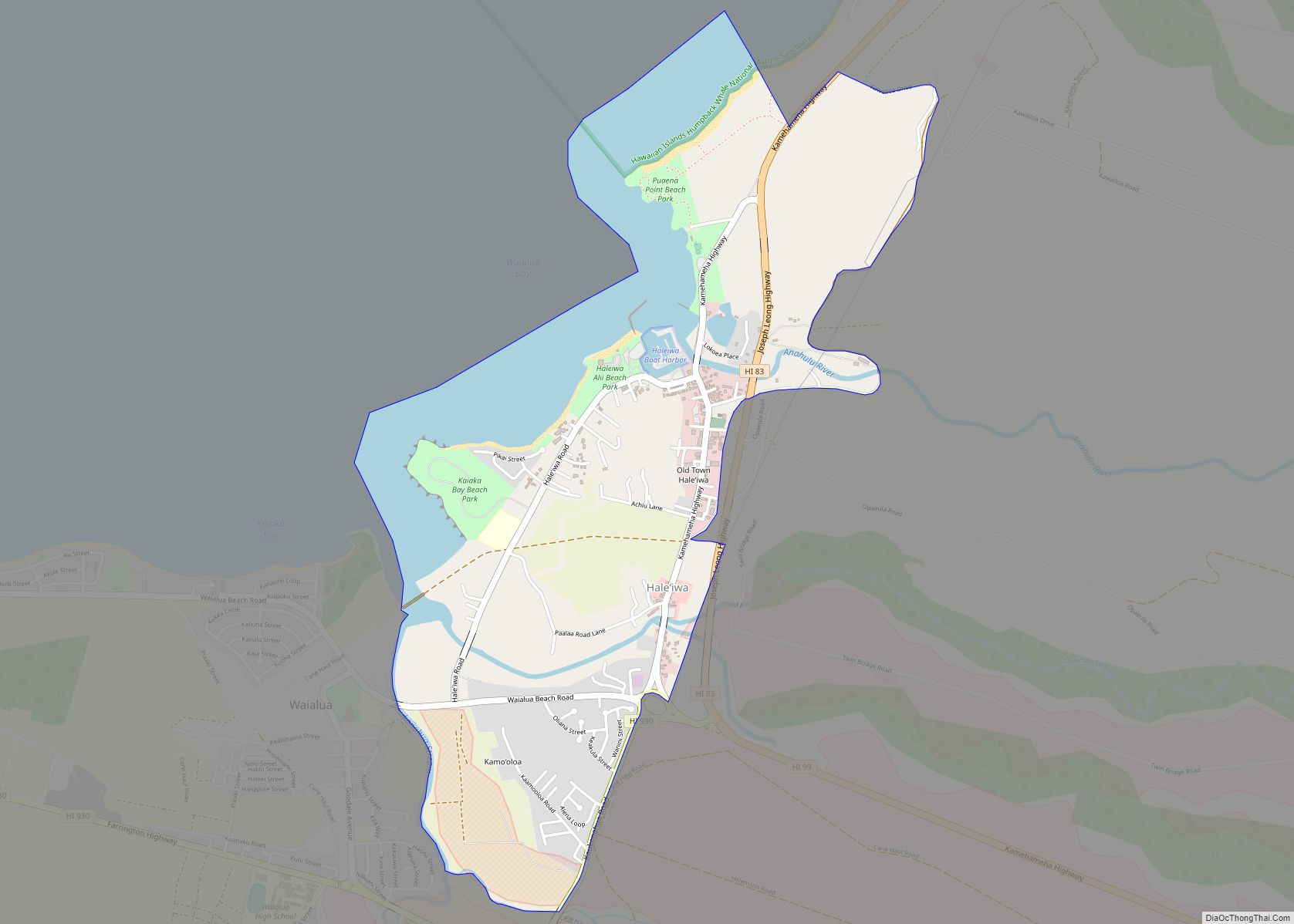
Haleʻiwa (Hawaiian pronunciation: [həleˈʔivə]) is a North Shore community and census-designated place (CDP) in the Waialua District of the island of Oʻahu, City and County of Honolulu. Haleʻiwa is located on Waialua Bay, the mouth of Anahulu Stream (also known as Anahulu River). A small boat harbor is located here, and the shore of the bay ... Read more
Hawaii Cities and Places
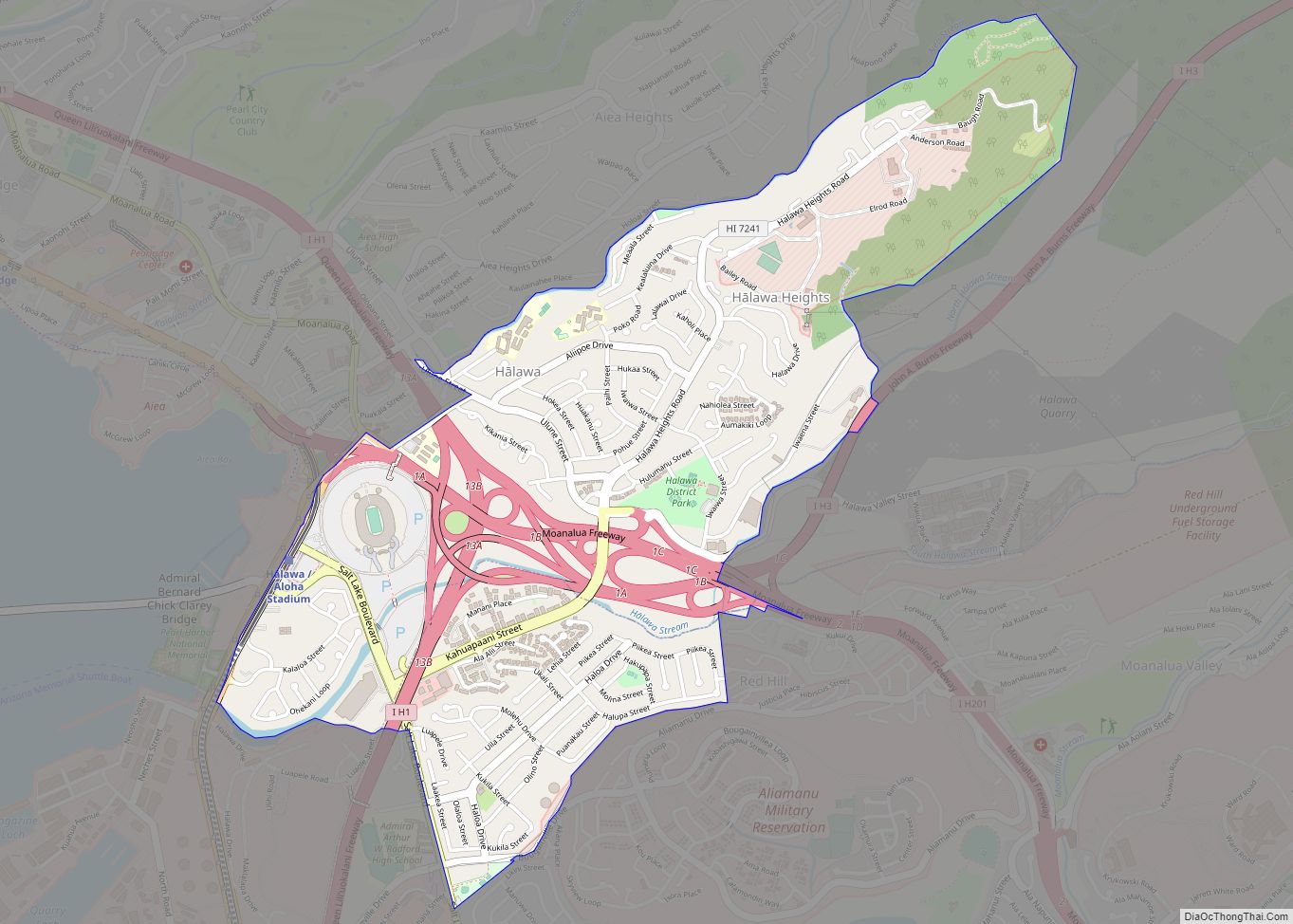
Halawa (Hawaiian pronunciation: [həˈlɐvə]) is a census-designated place (CDP) in the ‘Ewa District of Honolulu County, Hawaii, United States. Halawa Stream branches into two valleys: North and South Halawa; North Halawa is the larger stream and fluvial feature. Their confluence is within the H-3/H-201 highways exchange. Most of Halawa Valley is undeveloped. As of the 2020 ... Read more
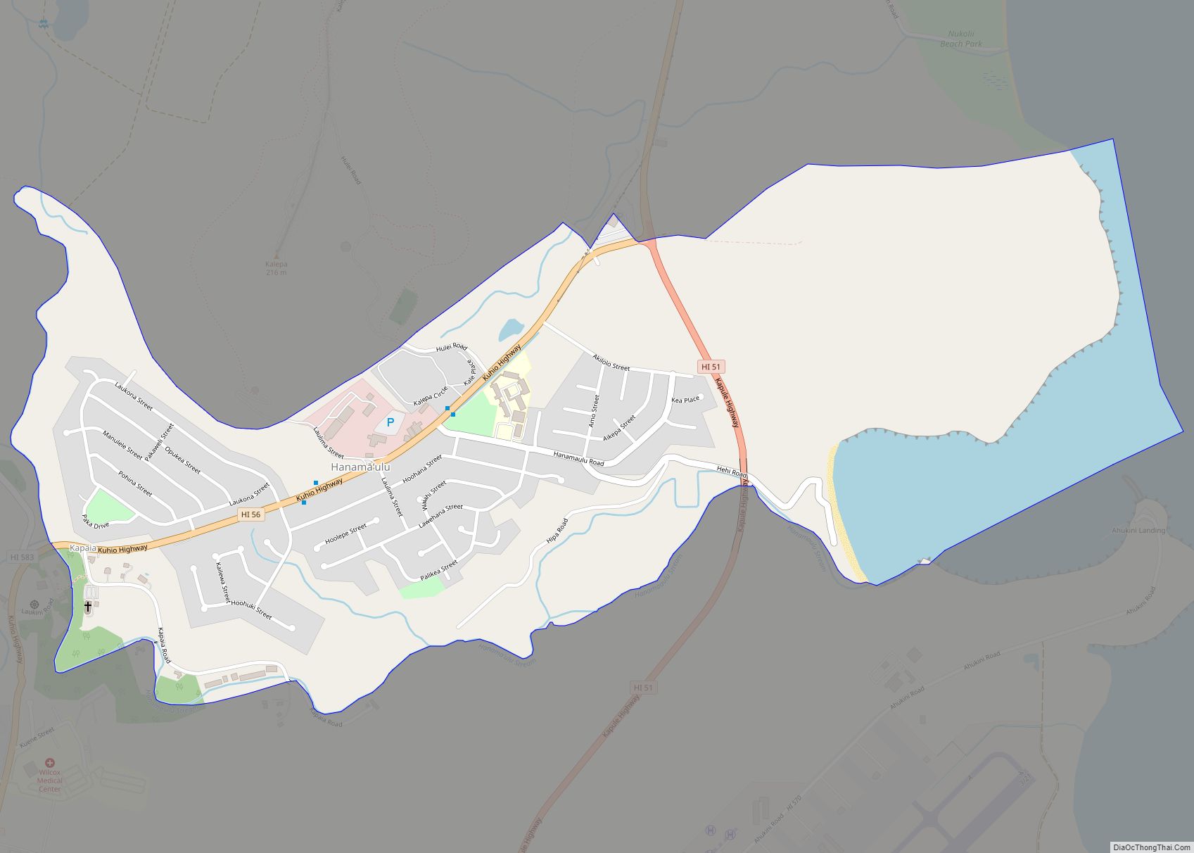
Hanamāʻulu (literally, “tired bay” in Hawaiian) is a census-designated place (CDP) in Kauaʻi County, Hawaiʻi, United States. It is the ancient birthplace of Kawelo, a member of Kauai’s ruling family. The population was 4,994 at the 2020 census, up from 3,272 at the 2000 census. Hanamaulu CDP overview: Name: Hanamaulu CDP LSAD Code: 57 LSAD ... Read more
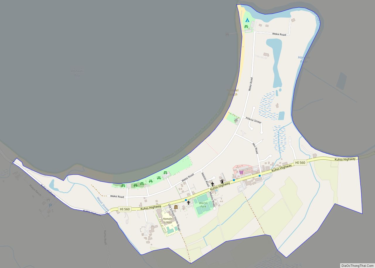
Hanalei is a census-designated place (CDP) in Kauaʻi County, Hawaii, United States. The population was estimated at 299 as of 2019. Hanalei means “lei making” in Hawaiian. Alternatively, the name Hanalei also means “crescent bay” and may be indicative of the shape of Hanalei Bay. Hanalei can also be translated as lei valley, referring to ... Read more
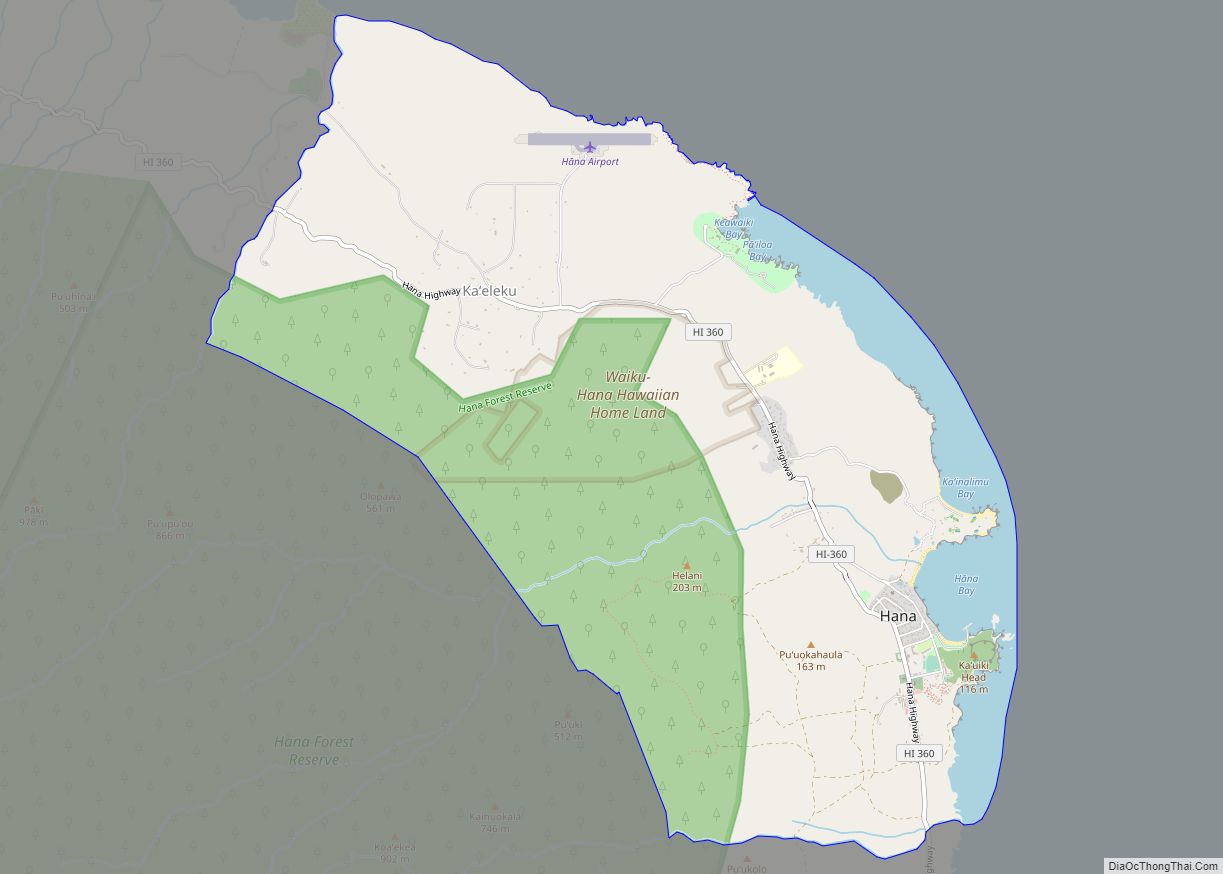
Hana is a census-designated place (CDP) in Maui County, Hawaii, United States. The population was 1,526 at the 2020 census. Hana is located at the eastern end of the island of Maui and is one of the most isolated communities in the state. It is reached mainly via the Hana Highway, a long, winding, 52-mile-long ... Read more
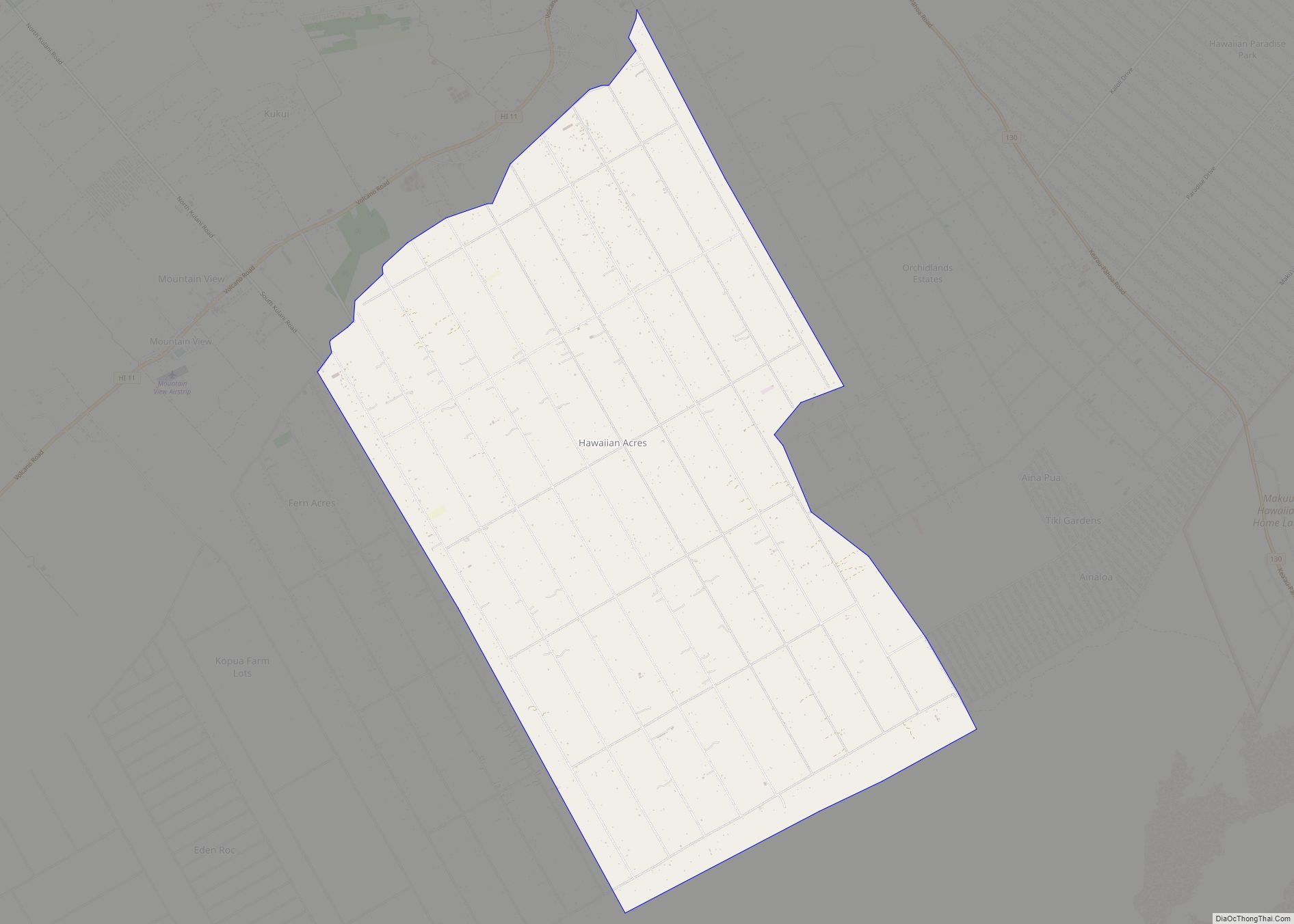
Hawaiian Acres is a census-designated place (CDP) in Hawaiʻi County, Hawaiʻi, United States located in the District of Puna. The population was 2,700 at the 2010 census, up from 1,776 at the 2000 census. Hawaiian Acres CDP overview: Name: Hawaiian Acres CDP LSAD Code: 57 LSAD Description: CDP (suffix) State: Hawaii County: Hawaii County Elevation: ... Read more
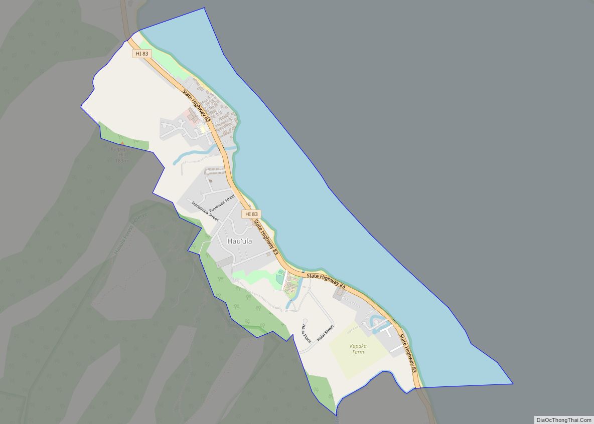
Hauʻula (Hawaiian pronunciation: [hɐwˈʔulə]) is a census-designated place and rural community in the Koʻolauloa District on the island of Oʻahu, City & County of Honolulu. In Hawaiian, hauʻula means “red hau” (hau is a type of tree: Hibiscus tiliaceus). There is a small commercial center. As of the 2020 census, the CDP population was 4,018. A ... Read more
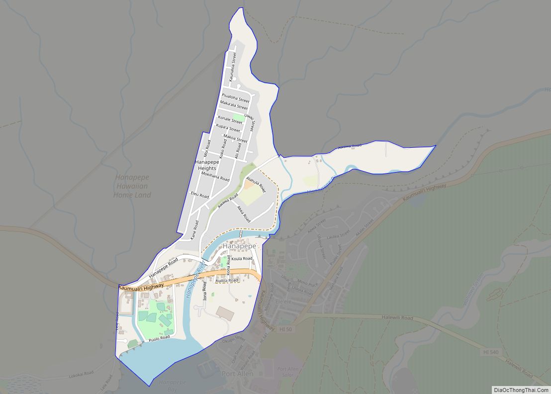
Hanapepe or Hanapēpē is a historic, unincorporated community in Kauai County, Hawaii, United States. The name means “crushed bay” in Hawaiian, which may refer to landslides in the area. For statistical purposes, the United States Census Bureau has defined Hanapepe as a census-designated place (CDP). The population was 2,678 at the 2020 census, up from ... Read more
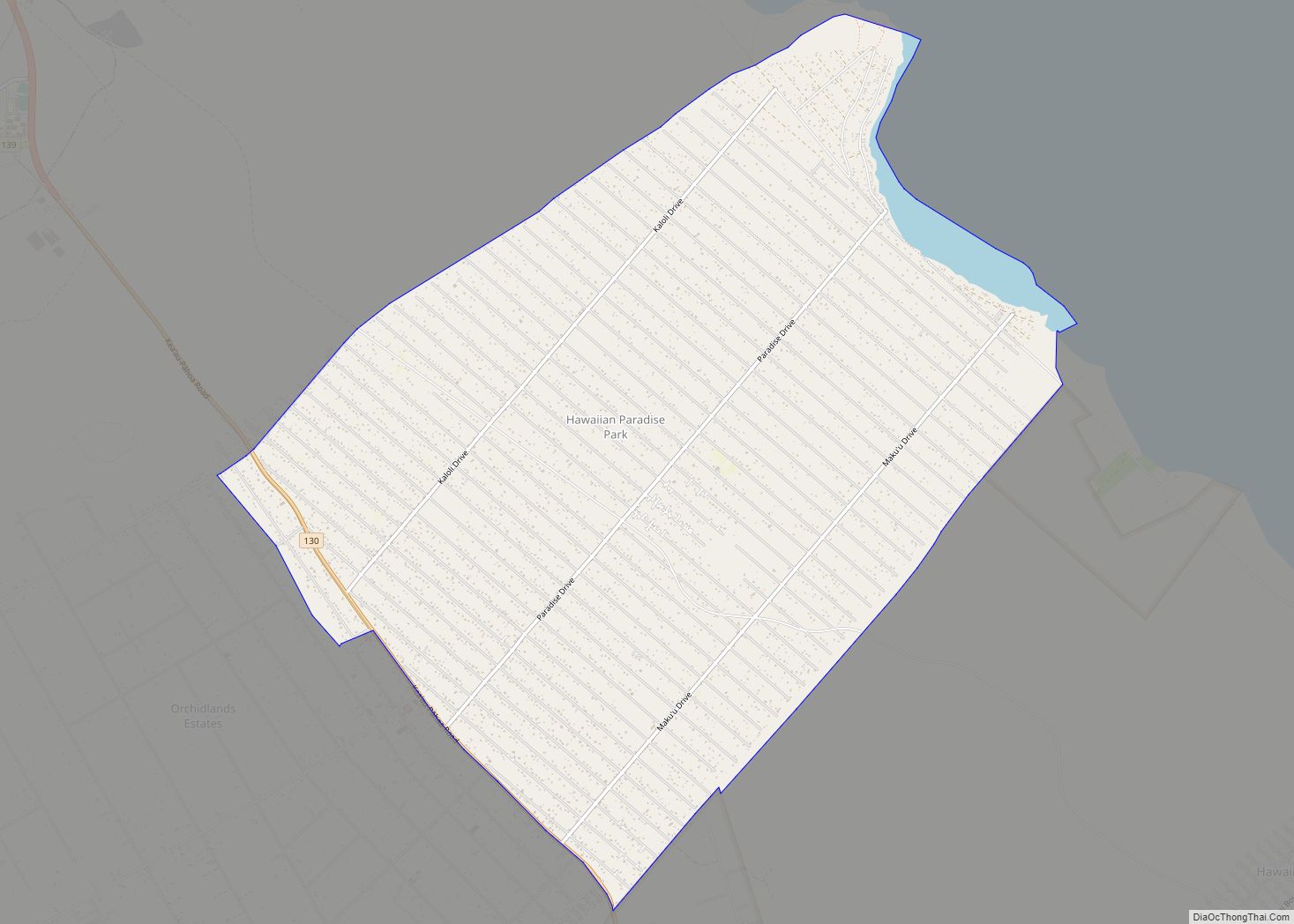
Hawaiian Paradise Park, also referred to as Paradise Park and known by many as HPP, is a census-designated place (CDP) in Hawaiʻi County, Hawaiʻi, United States, located in the District of Puna. The population was 11,404 at the 2010 census, up from 7,051 at the 2000 census. There are also numerous historic and archeological preservation ... Read more
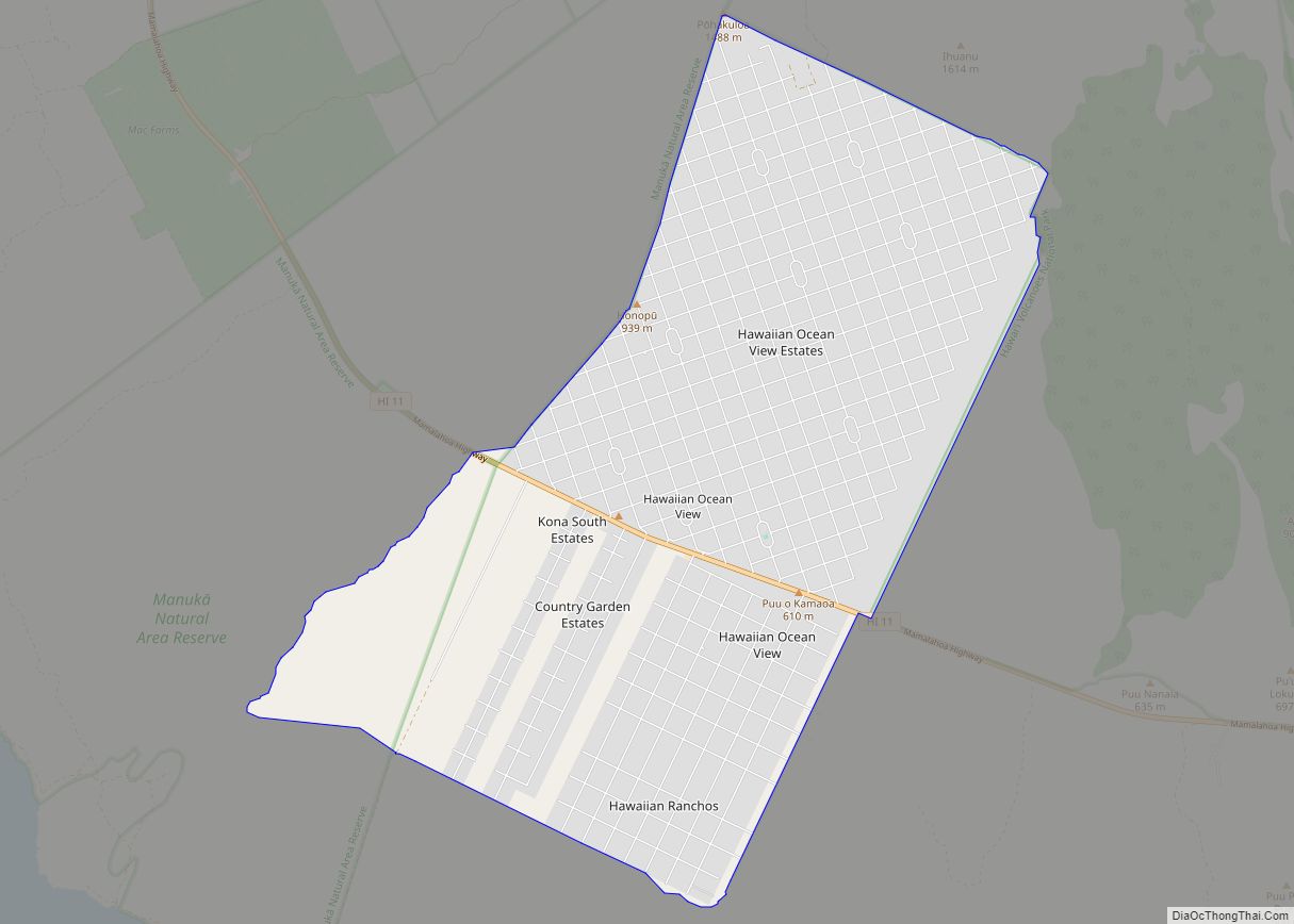
Hawaiian Ocean View (usually referred to as “Ocean View”) is a census-designated place (CDP) in Hawaiʻi County, Hawaiʻi, United States located in the District of Kaʻū. It includes the subdivisions of Hawaiian Ocean View Estates (HOVE), Hawaiian Ocean View Ranchos, Kahuku Country Gardens, Kula Kai View Estates, Kona Gardens, Keone’s Ranchos, and Kona View Estates. ... Read more
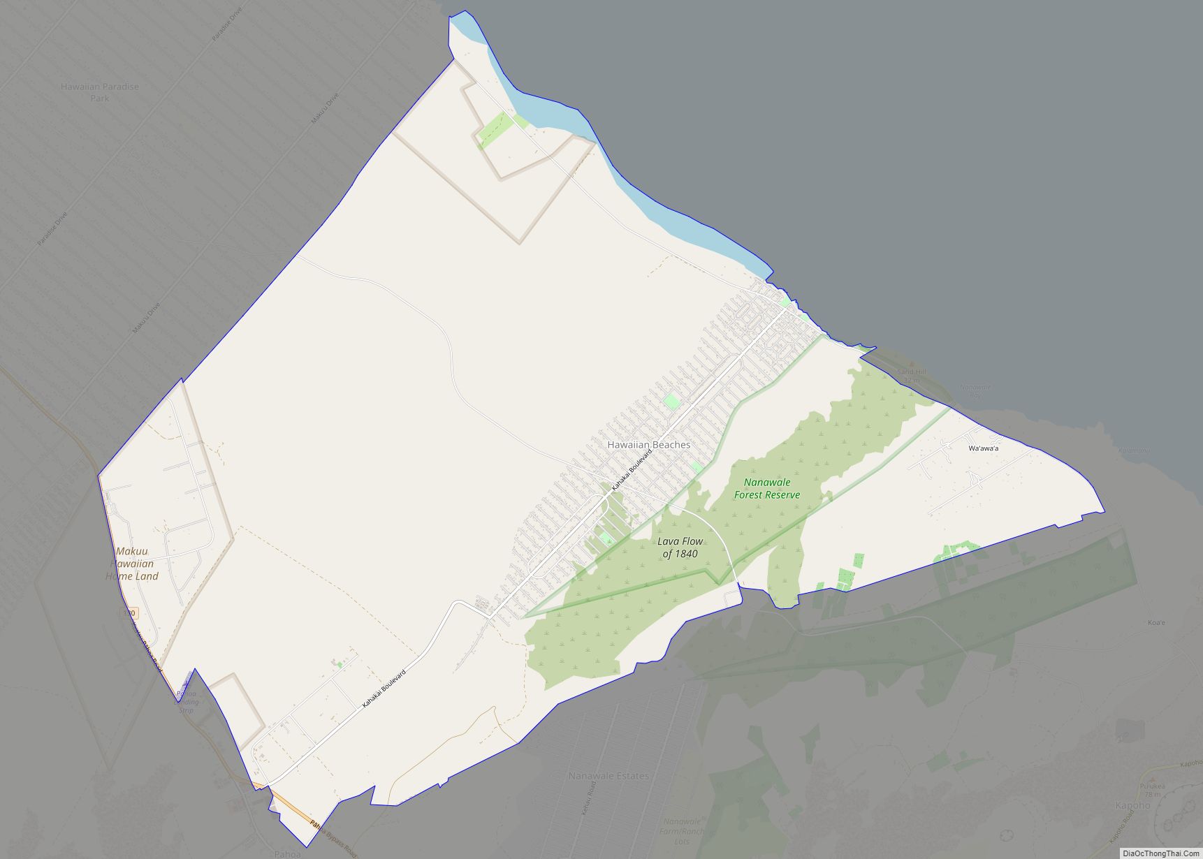
Hawaiian Beaches is a census-designated place (CDP) in Hawaiʻi County, Hawaiʻi, United States located in the District of Puna. The population was 4,280 at the 2010 census, up from 3,709 at the 2000 census. Hawaiian Beaches CDP overview: Name: Hawaiian Beaches CDP LSAD Code: 57 LSAD Description: CDP (suffix) State: Hawaii County: Hawaii County Elevation: ... Read more
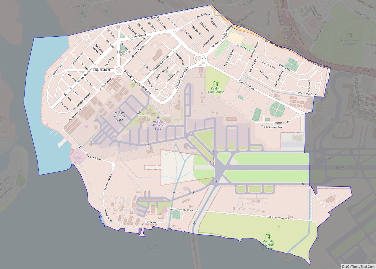
Hickam Housing is a census-designated place comprising part of Joint Base Pearl Harbor–Hickam in the City & County of Honolulu, Hawaii, United States. The population was 7,581 at the 2020 census. The CDP occupies the area that was formerly Hickam Air Force Base. A portion of Daniel K. Inouye International Airport is in the CDP. ... Read more
