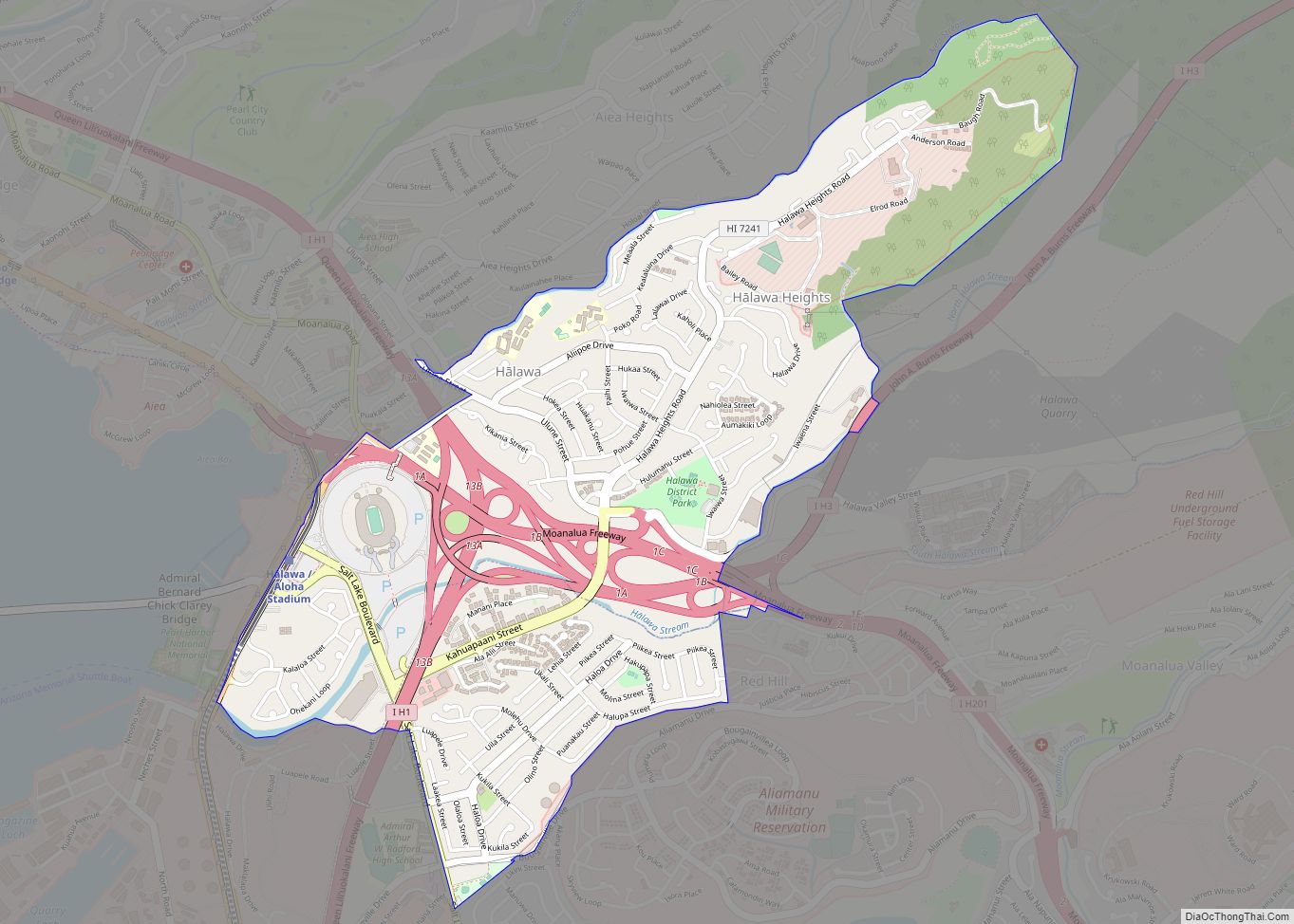
Halawa (Hawaiian pronunciation: [həˈlɐvə]) is a census-designated place (CDP) in the ‘Ewa District of Honolulu County, Hawaii, United States. Halawa Stream branches into two valleys: North and South Halawa; North Halawa is the larger stream and fluvial feature. Their confluence is within the H-3/H-201 highways exchange. Most of Halawa Valley is undeveloped. As of the 2020 census, the CDP had a population of 15,016.
| Name: | Halawa CDP |
|---|---|
| LSAD Code: | 57 |
| LSAD Description: | CDP (suffix) |
| State: | Hawaii |
| County: | Honolulu County |
| Elevation: | 177 ft (54 m) |
| Total Area: | 2.39 sq mi (6.19 km²) |
| Land Area: | 2.39 sq mi (6.19 km²) |
| Water Area: | 0.00 sq mi (0.00 km²) |
| Total Population: | 15,016 |
| Population Density: | 6,285.48/sq mi (2,427.05/km²) |
| Area code: | 808 |
| FIPS code: | 1510000 |
| GNISfeature ID: | 1867251 |
Online Interactive Map
Click on ![]() to view map in "full screen" mode.
to view map in "full screen" mode.
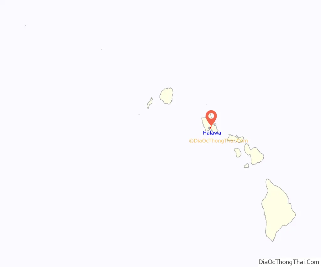
Halawa location map. Where is Halawa CDP?
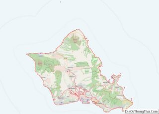
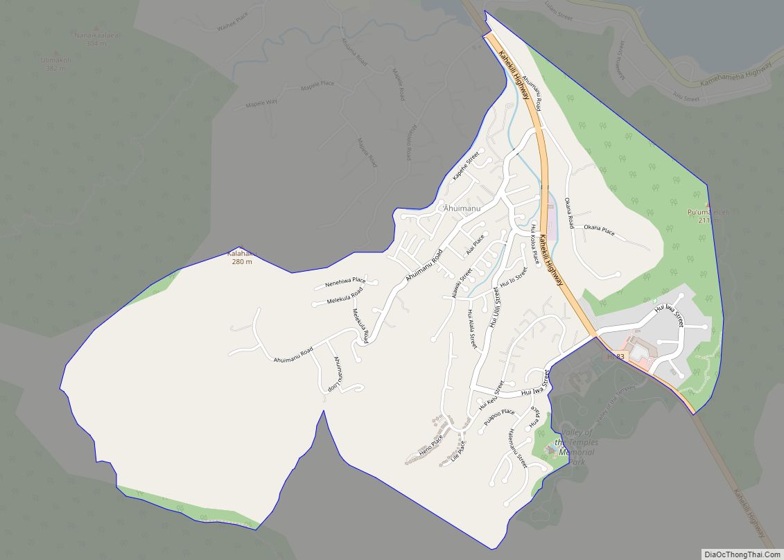
Halawa Road Map
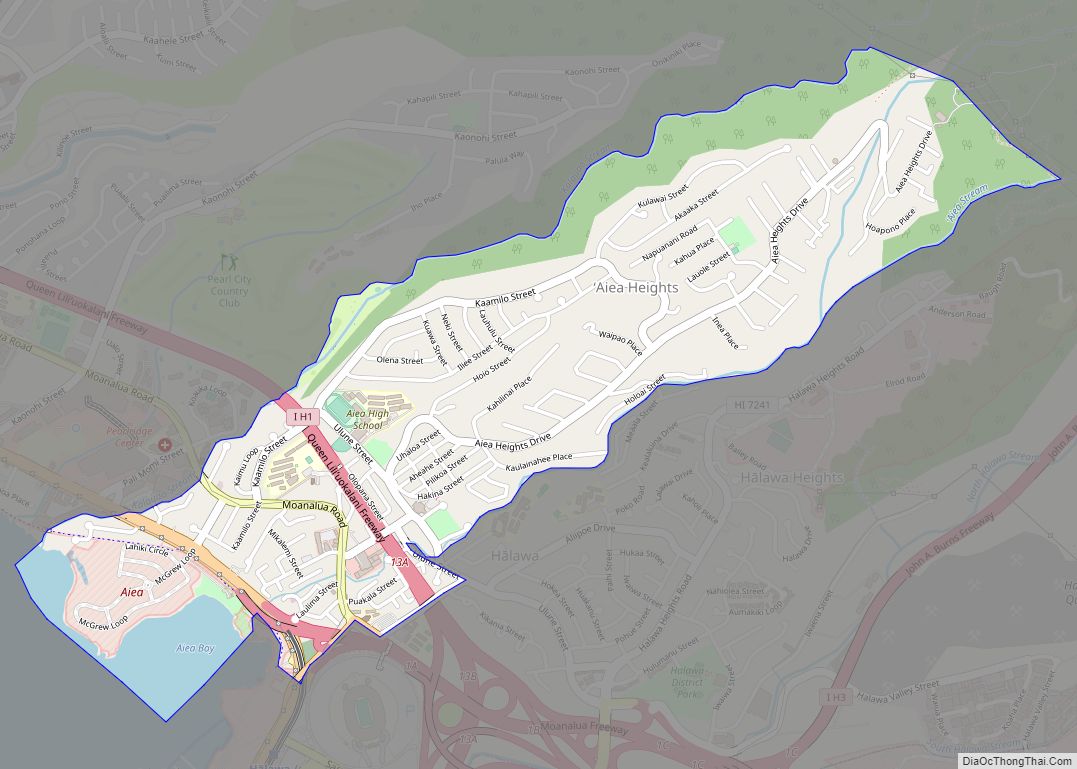
Halawa city Satellite Map
Geography
Halawa is located at 21°22′39″N 157°55′22″W / 21.37750°N 157.92278°W / 21.37750; -157.92278 (21.377633, -157.922759).
According to the United States Census Bureau, the CDP has a total area of 2.3 square miles (6.0 km), all land.
The route of H-3 extends from its western terminus with east–west Moanalua Freeway (H-201; connecting eastward to Honolulu or westward to H-1 and Aiea) to the 1100-foot (335-m) elevation entrance into the Tetsuo Harano Tunnels, penetrating the Ko‘olau crest. The freeway continues beyond to Kaneohe on windward Oahu.
A significant proportion of H-3 within the valley is carried on the Windward Viaducts; although very expensive to construct, the viaduct is the only way to construct a freeway of this magnitude through such a narrow valley without flooding and destabilization concerns; it is also believed to offer some returns in terms of preservation of both archeological sites and stream ecology.
See also
Map of Hawaii State and its subdivision: Map of other states:- Alabama
- Alaska
- Arizona
- Arkansas
- California
- Colorado
- Connecticut
- Delaware
- District of Columbia
- Florida
- Georgia
- Hawaii
- Idaho
- Illinois
- Indiana
- Iowa
- Kansas
- Kentucky
- Louisiana
- Maine
- Maryland
- Massachusetts
- Michigan
- Minnesota
- Mississippi
- Missouri
- Montana
- Nebraska
- Nevada
- New Hampshire
- New Jersey
- New Mexico
- New York
- North Carolina
- North Dakota
- Ohio
- Oklahoma
- Oregon
- Pennsylvania
- Rhode Island
- South Carolina
- South Dakota
- Tennessee
- Texas
- Utah
- Vermont
- Virginia
- Washington
- West Virginia
- Wisconsin
- Wyoming
