Map of Virden city

Map of Virden city, Illinois

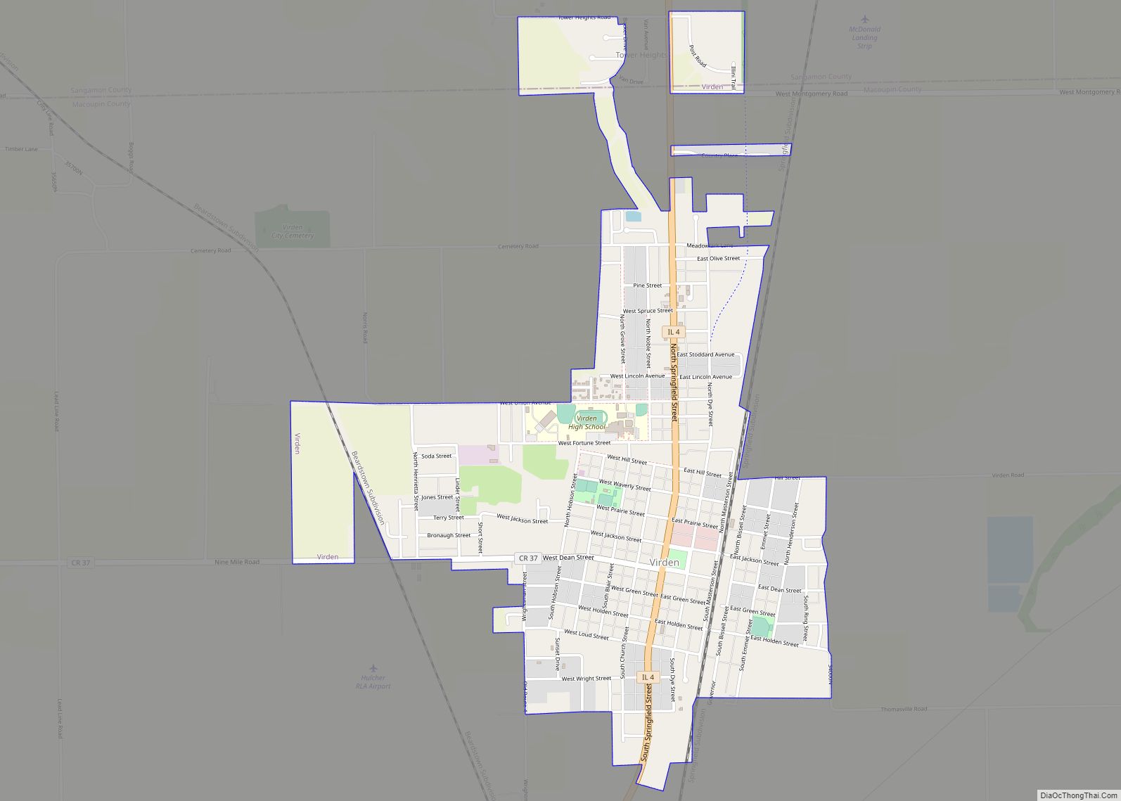
Virden is a city in Macoupin and Sangamon counties in the U.S. state of Illinois. The population was 3,231 at the 2020 census. The Macoupin County portion of Virden is part of the St. Louis, Missouri–Illinois Metropolitan Statistical Area, while the Sangamon County portion is part of the Springfield Metropolitan Statistical Area. Virden was the … Read more

Map of Volo village

Map of Volo village

Volo is a village in Lake County, Illinois, United States. It was incorporated as a village on April 26, 1993. Per the 2020 census, the population was 6,122. Volo village overview: Name: Volo village LSAD Code: 47 LSAD Description: village (suffix) State: Illinois County: Lake County Total Area: 4.00 sq mi (10.35 km²) Land Area: 3.91 sq mi (10.14 km²) Water … Read more

Map of Virginia city

Map of Virginia city, Illinois

Virginia is a city in Cass County, Illinois, United States. The population was 1,514 at the 2020 census. It is the county seat of Cass County. Virginia city overview: Name: Virginia city LSAD Code: 25 LSAD Description: city (suffix) State: Illinois County: Cass County Founded: 1836 Elevation: 614 ft (187 m) Total Area: 1.27 sq mi (3.29 km²) Land Area: … Read more

Map of Waggoner village

Map of Waggoner village

Waggoner is a village in Montgomery County, Illinois, United States. The population was 181 at the 2020 census, down from 266 in 2010 census. Waggoner village overview: Name: Waggoner village LSAD Code: 47 LSAD Description: village (suffix) State: Illinois County: Montgomery County Elevation: 640 ft (200 m) Total Area: 0.24 sq mi (0.63 km²) Land Area: 0.24 sq mi (0.63 km²) Water Area: … Read more

Map of Wadsworth village

Map of Wadsworth village, Illinois

Wadsworth is a village in Lake County, Illinois, United States. Per the 2020 census, the population was 3,517. It is named after E. S. Wadsworth, who was a major stockholder for the Chicago, Milwaukee, St. Paul and Pacific Railroad, which passes through the village. Wadsworth village overview: Name: Wadsworth village LSAD Code: 47 LSAD Description: … Read more

Map of Walnut village, Illinois

Map of Walnut village, Illinois

Walnut is a village in Bureau County, Illinois, United States. People from Walnut are identified as “Walnutties” as a unique response to the demonym. The population was 1,311 at the 2020 census, down from 1,416 at the 2010 census and 1,461 at the 2000 census. It is part of the Ottawa Micropolitan Statistical Area. The … Read more

Map of Walnut Hill village

Map of Walnut Hill village, Illinois

Walnut Hill is a village in Marion County, Illinois, United States. The population was 95 at the 2020 census. Walnut Hill village overview: Name: Walnut Hill village LSAD Code: 47 LSAD Description: village (suffix) State: Illinois County: Marion County Elevation: 568 ft (173 m) Total Area: 0.38 sq mi (0.98 km²) Land Area: 0.38 sq mi (0.98 km²) Water Area: 0.00 sq mi (0.00 km²) Total … Read more

Map of Walshville village

Map of Walshville village

Walshville is a small village in Montgomery County, Illinois, United States. The population was 61 at the 2020 census. Walshville village overview: Name: Walshville village LSAD Code: 47 LSAD Description: village (suffix) State: Illinois County: Montgomery County Elevation: 617 ft (188 m) Total Area: 0.25 sq mi (0.66 km²) Land Area: 0.25 sq mi (0.66 km²) Water Area: 0.00 sq mi (0.00 km²) Total Population: 61 … Read more

Map of Waltonville village

Map of Waltonville village

Waltonville is a village in Jefferson County, Illinois, United States. The population was 434 at the 2010 census. It is part of the Mount Vernon Micropolitan Statistical Area. Waltonville village overview: Name: Waltonville village LSAD Code: 47 LSAD Description: village (suffix) State: Illinois County: Jefferson County Elevation: 459 ft (140 m) Total Area: 1.26 sq mi (3.27 km²) Land Area: … Read more

Map of Wapella village

Map of Wapella village

Wapella is a village in DeWitt County, Illinois, United States. The population was 513 at the 2020 census. Wapella village overview: Name: Wapella village LSAD Code: 47 LSAD Description: village (suffix) State: Illinois County: De Witt County Elevation: 745 ft (227 m) Total Area: 0.55 sq mi (1.43 km²) Land Area: 0.55 sq mi (1.43 km²) Water Area: 0.00 sq mi (0.00 km²) Total Population: 513 … Read more

Map of Wamac city

Map of Wamac city

Wamac is a city in Washington, Marion, and Clinton counties in the U.S. state of Illinois. The population was 985 at the 2020 census, down from 1,185 in 2010. Incorporated as a city on July 25, 1916, Wamac derives its name from the three counties. Wamac city overview: Name: Wamac city LSAD Code: 25 LSAD … Read more

Map of Warrensburg village

Map of Warrensburg village, Illinois

Warrensburg is a village in Macon County, Illinois, United States. Its population was 1,110 at the 2020 census, down from 1,201 in 2010. It is included in the Decatur, Illinois Metropolitan Statistical Area. Warrensburg was established in 1841. Warrensburg village overview: Name: Warrensburg village LSAD Code: 47 LSAD Description: village (suffix) State: Illinois County: Macon … Read more