Durand is a village in Winnebago County, Illinois, United States. It is part of the Rockford, Illinois Metropolitan Statistical Area The population was 1,443 at the 2010 census, up from 1,081 in 2000. Durand village overview: Name: Durand village LSAD Code: 47 LSAD Description: village (suffix) State: Illinois County: Winnebago County Elevation: 778 ft (237 m) Total ... Read more
Illinois Cities and Places
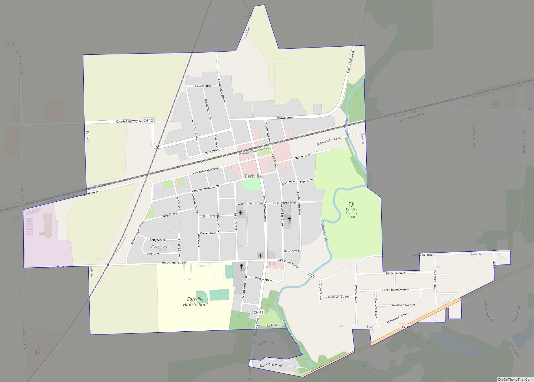
Earlville is a city in LaSalle County, Illinois, United States. The population was 1,613 at the 2020 census, down from 1,701 at the 2010 census. The city is part of the Ottawa, IL Micropolitan Statistical Area. Earlville city overview: Name: Earlville city LSAD Code: 25 LSAD Description: city (suffix) State: Illinois County: LaSalle County Incorporated: ... Read more
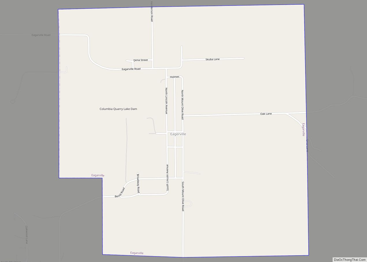
Eagarville is a village in Macoupin County, Illinois, United States. The population was 114 at the 2020 census. Eagarville village overview: Name: Eagarville village LSAD Code: 47 LSAD Description: village (suffix) State: Illinois County: Macoupin County Elevation: 640 ft (200 m) Total Area: 0.93 sq mi (2.41 km²) Land Area: 0.91 sq mi (2.36 km²) Water Area: 0.02 sq mi (0.05 km²) Total Population: 114 Population ... Read more
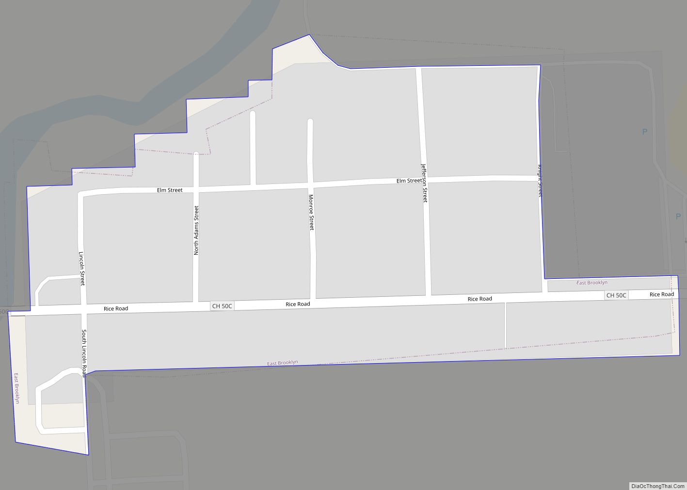
East Brooklyn is a village in Grundy County, Illinois, United States. The population was 106 at the 2010 census. East Brooklyn village overview: Name: East Brooklyn village LSAD Code: 47 LSAD Description: village (suffix) State: Illinois County: Grundy County Elevation: 584 ft (178 m) Total Area: 0.05 sq mi (0.13 km²) Land Area: 0.05 sq mi (0.13 km²) Water Area: 0.00 sq mi (0.00 km²) Total ... Read more
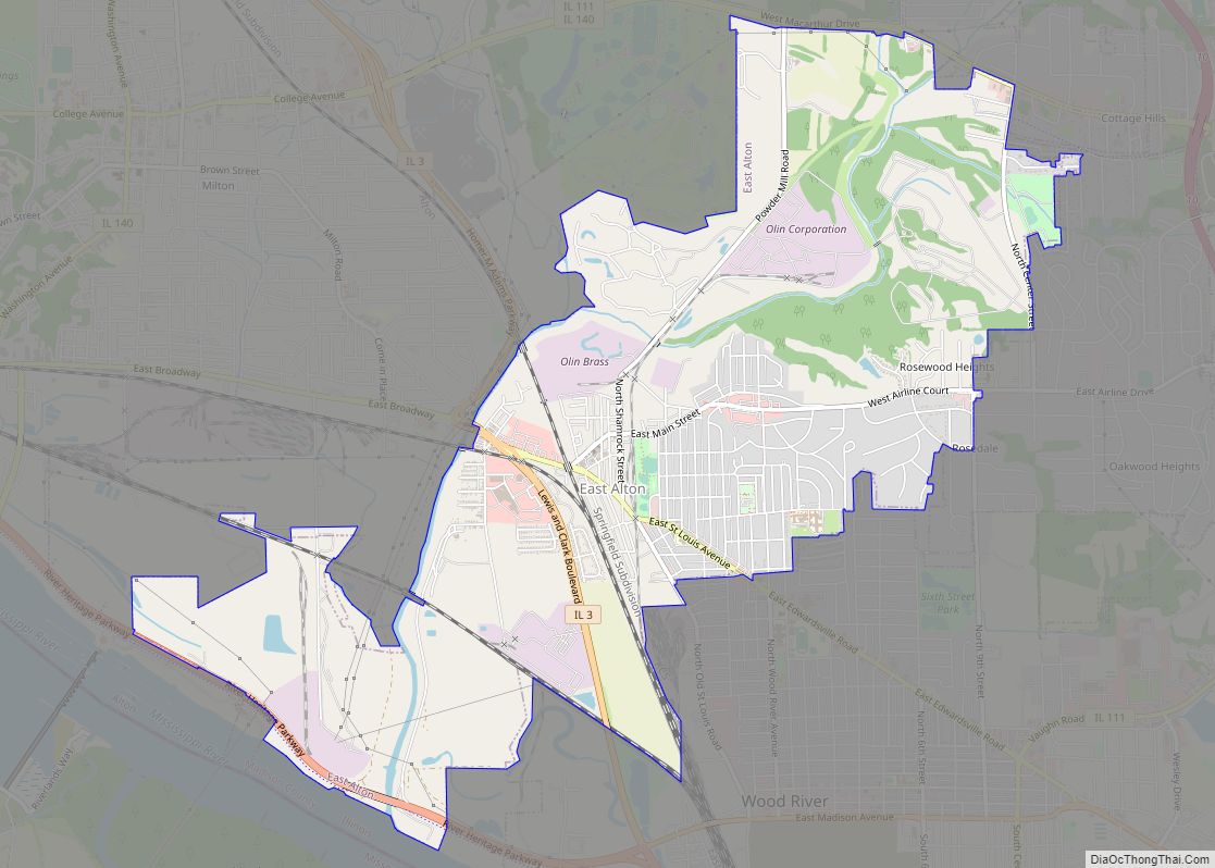
East Alton is a village in Madison County, Illinois, United States. The population was 5,786 at the 2020 census, down from 6,301 in 2010. East Alton village overview: Name: East Alton village LSAD Code: 47 LSAD Description: village (suffix) State: Illinois County: Madison County Elevation: 443 ft (135 m) Total Area: 5.47 sq mi (14.18 km²) Land Area: 5.32 sq mi (13.77 km²) ... Read more
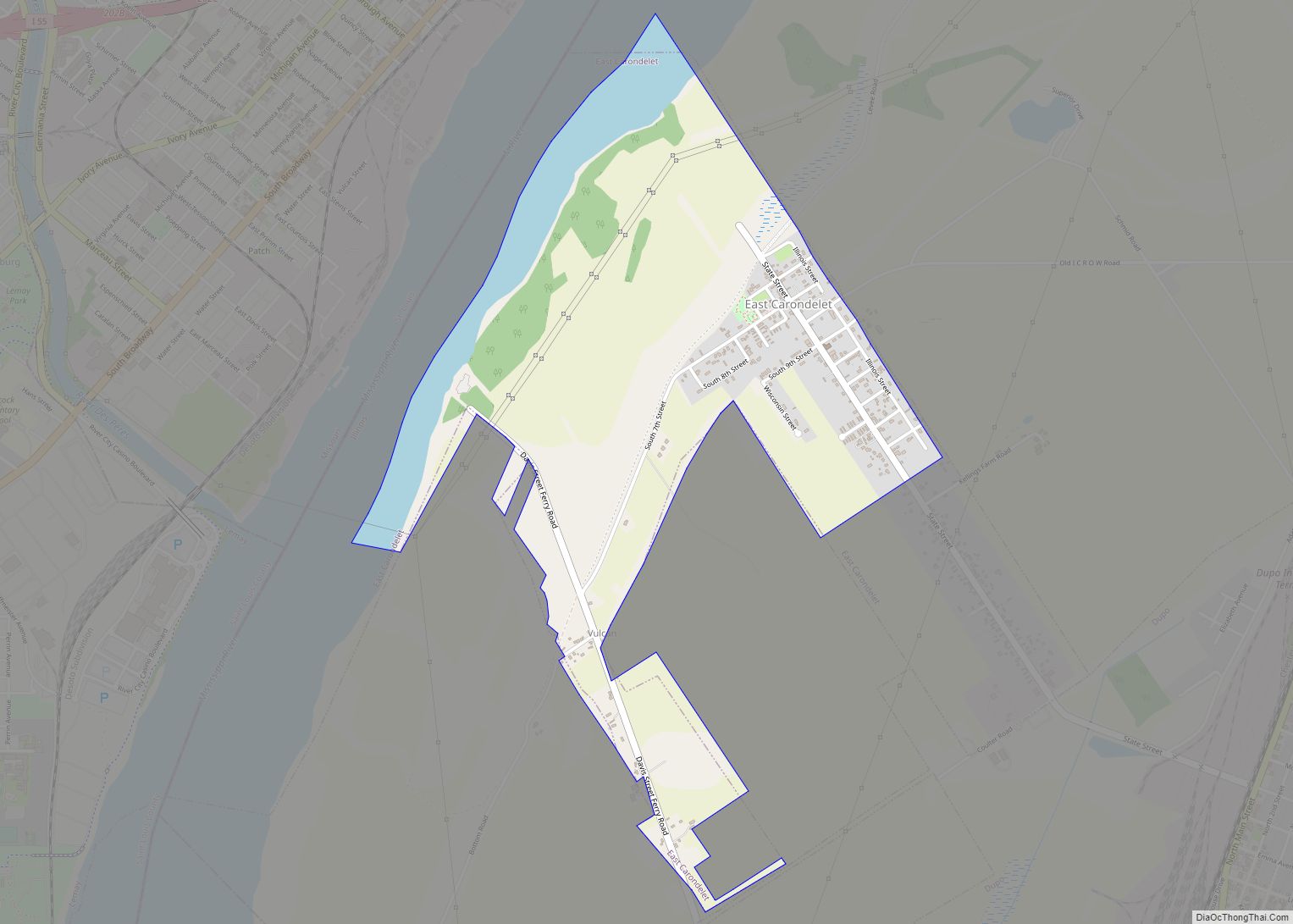
East Carondelet is a village in St. Clair County, Illinois, United States. The population was 499 as of the 2010 census. East Carondelet village overview: Name: East Carondelet village LSAD Code: 47 LSAD Description: village (suffix) State: Illinois County: St. Clair County Elevation: 394 ft (120 m) Total Area: 1.35 sq mi (3.49 km²) Land Area: 1.18 sq mi (3.05 km²) Water Area: ... Read more
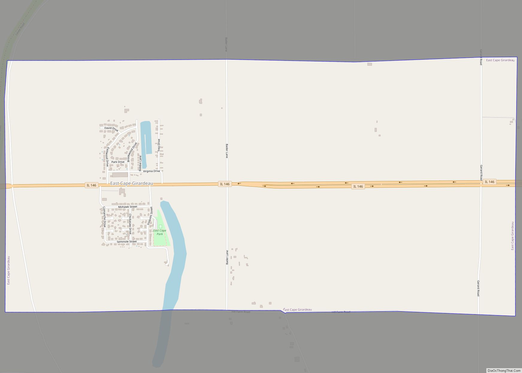
East Cape Girardeau is a village in Alexander County, Illinois, United States. The population was 289 at the 2020 census. It is part of the Cape Girardeau–Jackson, MO-IL Metropolitan Statistical Area. East Cape Girardeau village overview: Name: East Cape Girardeau village LSAD Code: 47 LSAD Description: village (suffix) State: Illinois County: Alexander County Elevation: 335 ft ... Read more
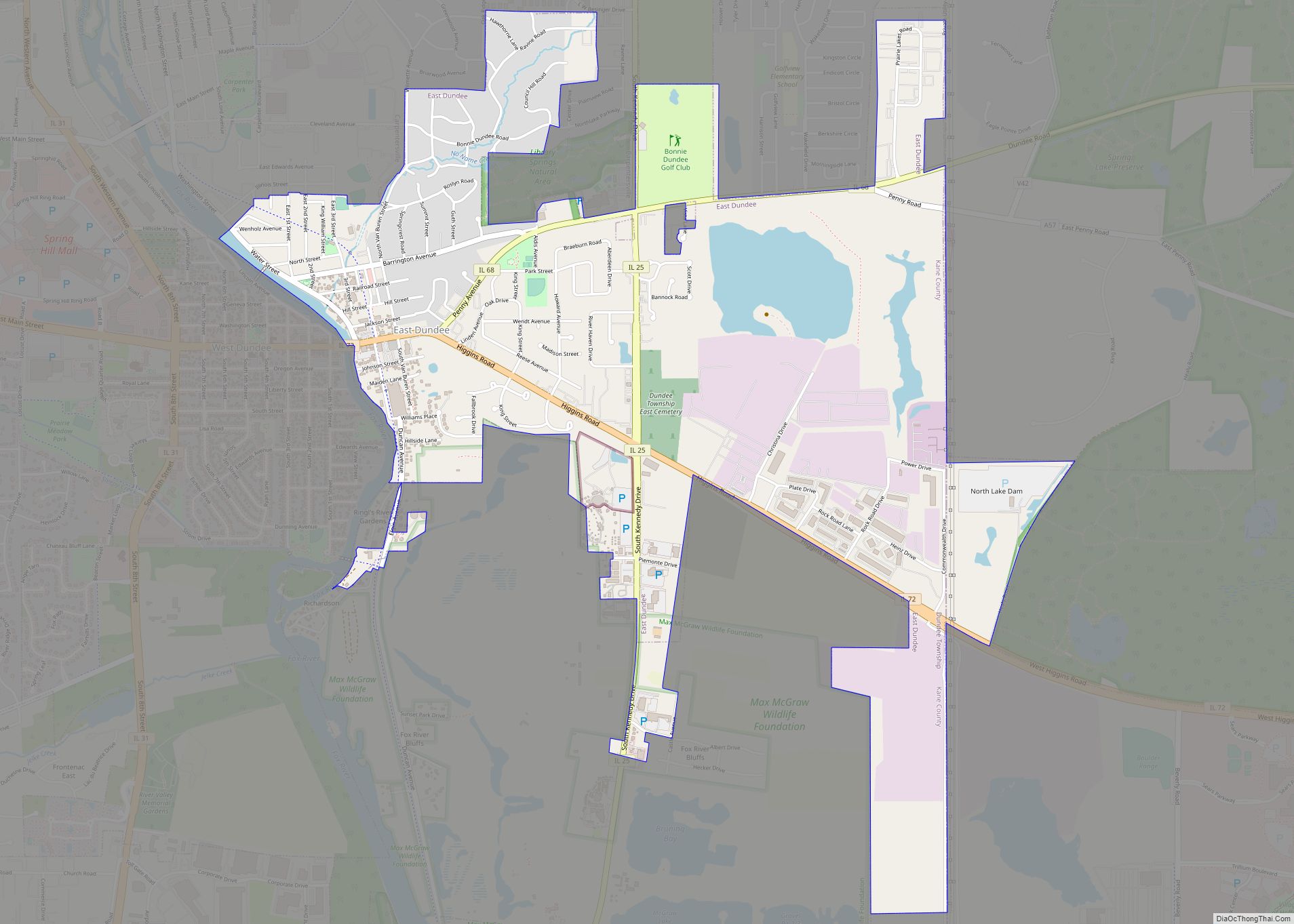
East Dundee is a village in Kane County with a small section in Cook County. The population was 3,152 at the 2020 census. East Dundee village overview: Name: East Dundee village LSAD Code: 47 LSAD Description: village (suffix) State: Illinois County: Cook County, Kane County Incorporated: 1871 Total Area: 3.15 sq mi (8.17 km²) Land Area: 2.91 sq mi (7.54 km²) ... Read more
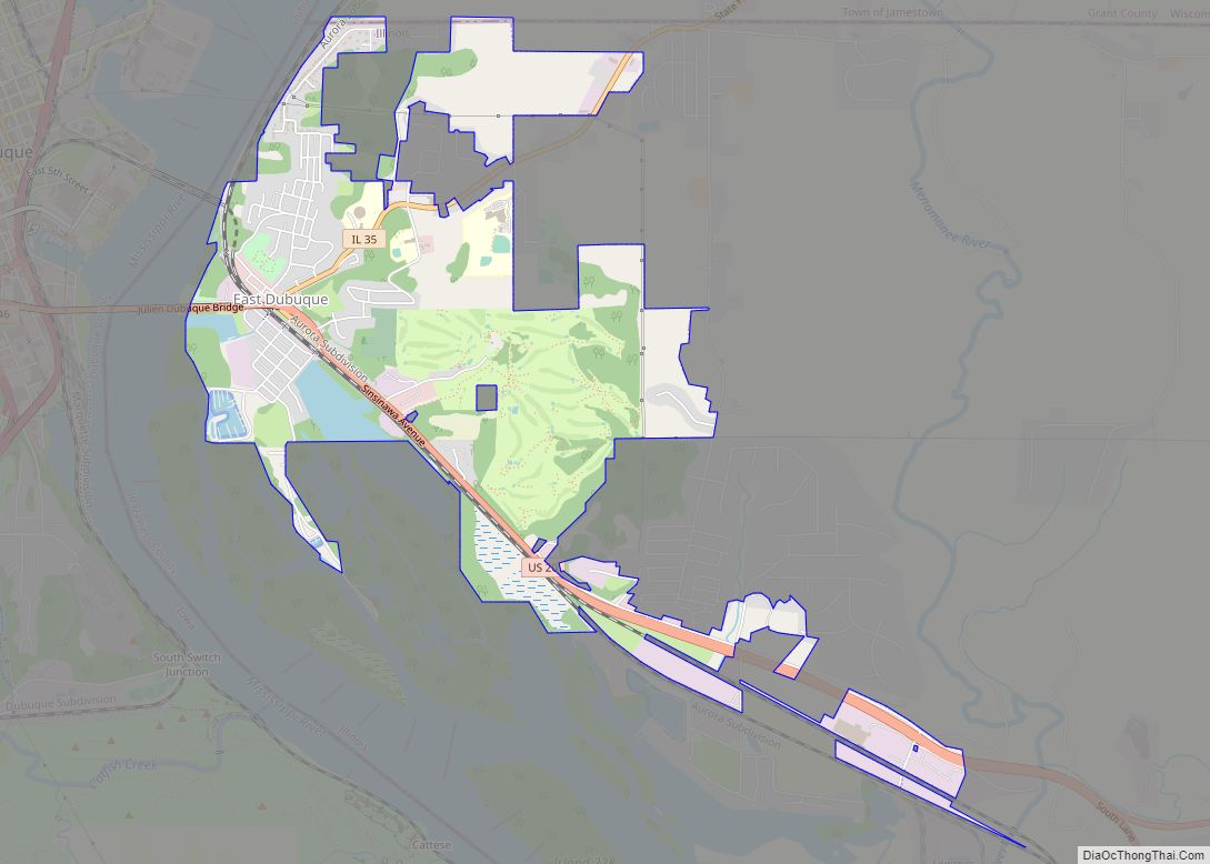
East Dubuque is a city in Jo Daviess County, Illinois, United States. The population was 1,505 at the 2020 census, down from 1,704 in 2010. East Dubuque is located alongside the Mississippi River. Across the river is the city of Dubuque, Iowa. The city limits extend along the river to the Illinois – Wisconsin border. ... Read more
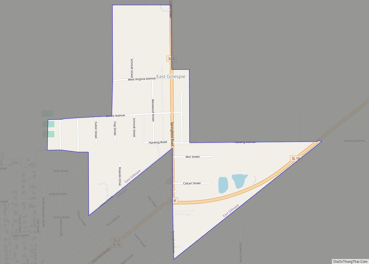
East Gillespie is a village in Macoupin County, Illinois, United States. As of the 2020 census, the village had a population of 269. East Gillespie village overview: Name: East Gillespie village LSAD Code: 47 LSAD Description: village (suffix) State: Illinois County: Macoupin County Elevation: 663 ft (202 m) Total Area: 0.32 sq mi (0.83 km²) Land Area: 0.32 sq mi (0.83 km²) Water ... Read more
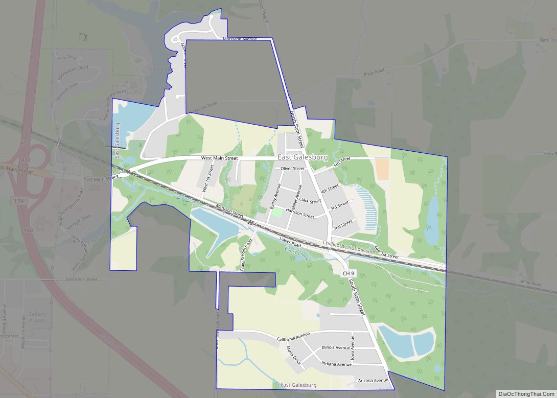
East Galesburg is a village in Knox County, Illinois, United States. The population was 812 as of the 2010 census, down from 839 in 2000. It is part of the Galesburg Micropolitan Statistical Area. East Galesburg village overview: Name: East Galesburg village LSAD Code: 47 LSAD Description: village (suffix) State: Illinois County: Knox County Elevation: ... Read more
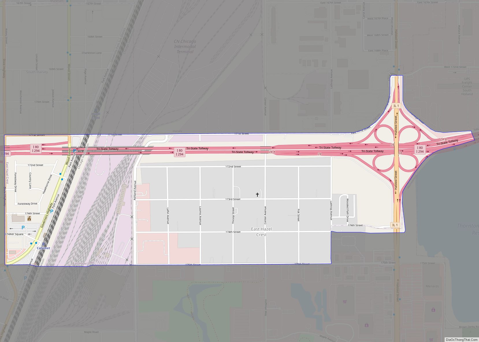
East Hazel Crest is a village in Cook County, Illinois, in the United States. It is a south suburb of Chicago. As of the 2020 census, the village population was 1,297. East Hazel Crest village overview: Name: East Hazel Crest village LSAD Code: 47 LSAD Description: village (suffix) State: Illinois County: Cook County Incorporated: 1928 ... Read more

