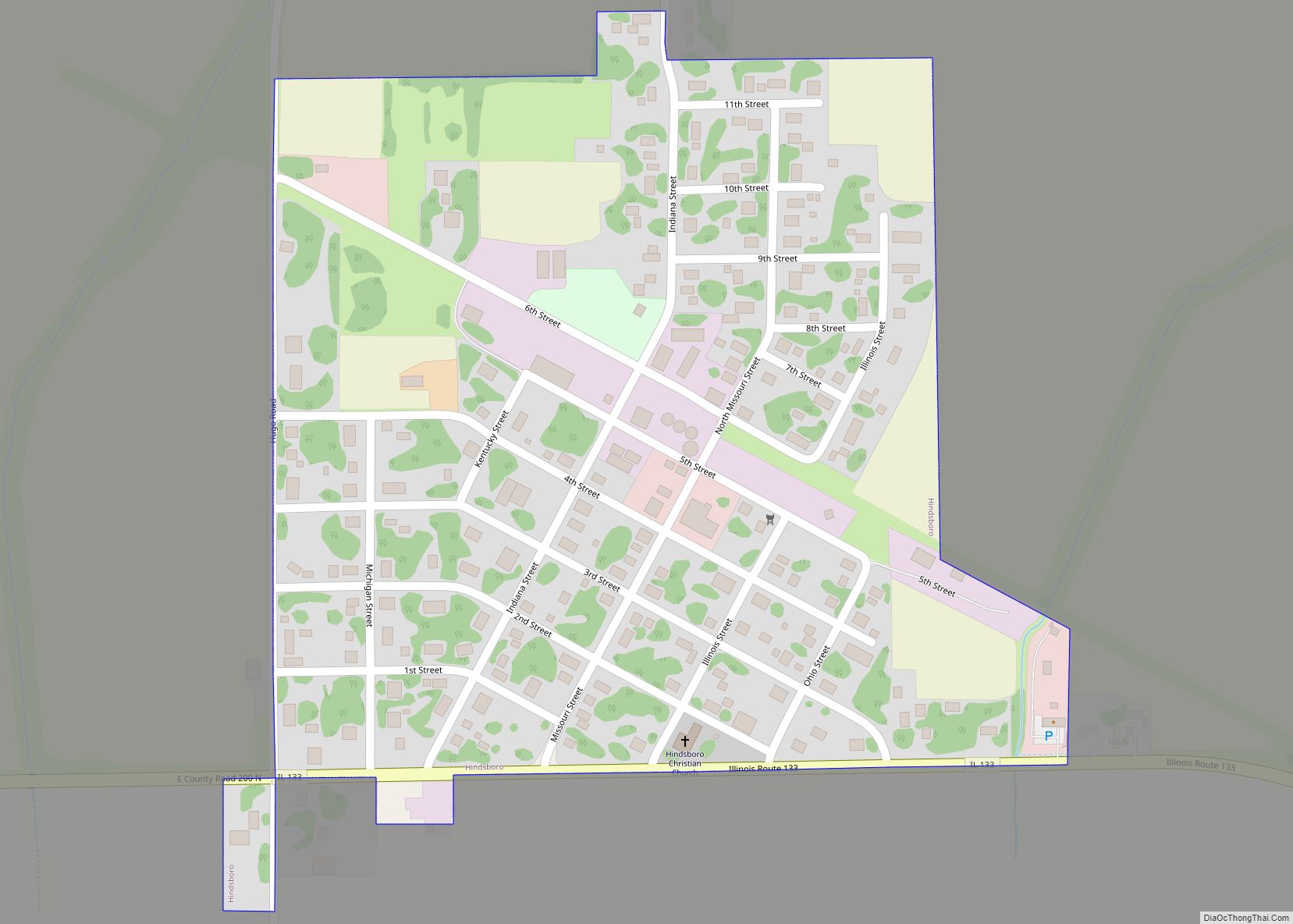
Hindsboro is a village in Douglas County, Illinois, United States. The population was 275 at the 2020 census. Hindsboro village overview: Name: Hindsboro village LSAD Code: 47 LSAD Description: village (suffix) State: Illinois County: Douglas County Elevation: 650 ft (200 m) Total Area: 0.27 sq mi (0.70 km²) Land Area: 0.27 sq mi (0.70 km²) Water Area: 0.00 sq mi (0.00 km²) Total Population: 275 Population ... Read more
Illinois Cities and Places
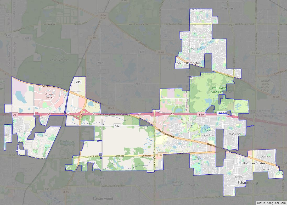
Hoffman Estates is a village in Illinois, United States. The village is located in Cook County. It is a suburb of Chicago. Per the 2020 census, the population was 52,530. The village now serves as the headquarters for Sears and the American headquarters for Mori Seiki. The village owns Now Arena, home of the Windy ... Read more
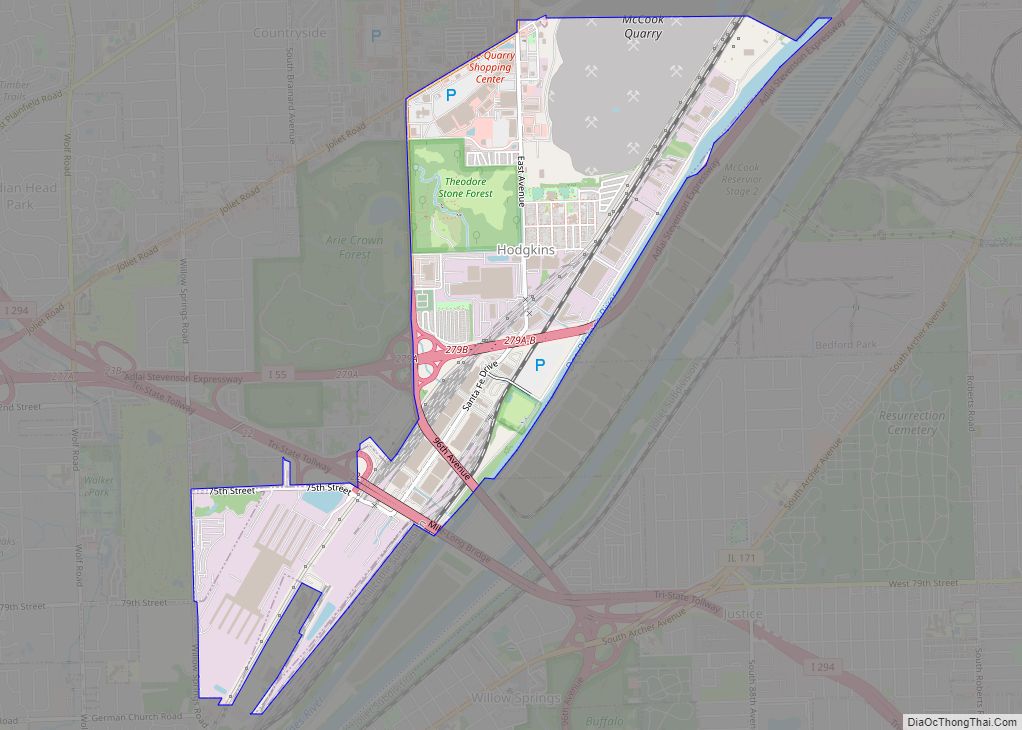
Hodgkins is a village in Cook County, Illinois, United States, and is an industrial suburb of Chicago. The population was 1,500 at the 2020 census, down from 1,897 at the 2010 census. A United Parcel Service facility, known as CACH, is located in Hodgkins at 1 UPS Way. CACH employs over 9,000 people and is ... Read more
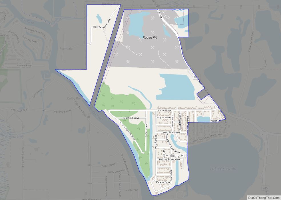
Holiday Hills is a village in McHenry County, Illinois, United States. Per the 2020 census, the population was 618. Holiday Hills village overview: Name: Holiday Hills village LSAD Code: 47 LSAD Description: village (suffix) State: Illinois County: McHenry County Incorporated: March 10, 1976 Total Area: 0.97 sq mi (2.52 km²) Land Area: 0.93 sq mi (2.42 km²) Water Area: 0.04 sq mi (0.10 km²) ... Read more
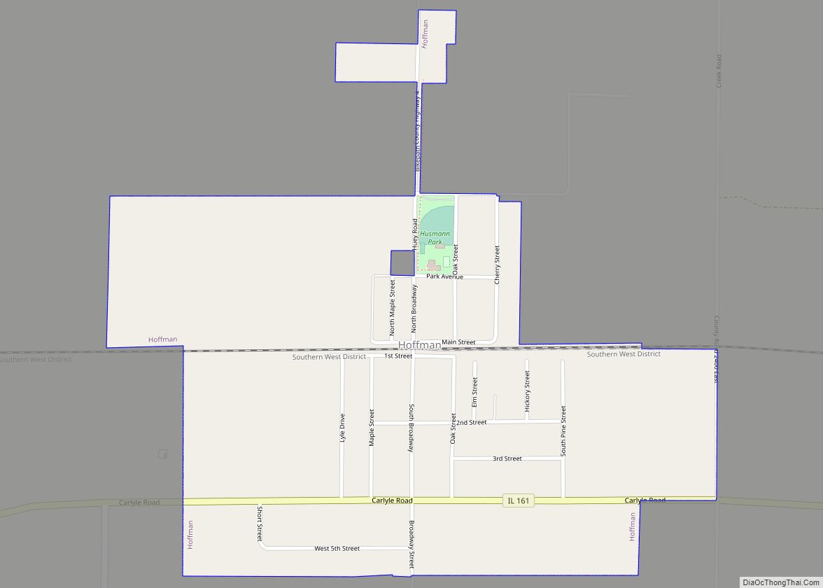
Hoffman is a village in Clinton County, Illinois, United States. The population was 439 at the 2020 census. Hoffman village overview: Name: Hoffman village LSAD Code: 47 LSAD Description: village (suffix) State: Illinois County: Clinton County Elevation: 456 ft (139 m) Total Area: 0.51 sq mi (1.31 km²) Land Area: 0.51 sq mi (1.31 km²) Water Area: 0.00 sq mi (0.00 km²) Total Population: 439 Population ... Read more
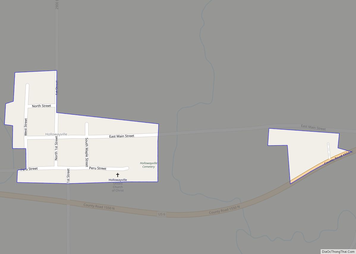
Hollowayville is a village in Bureau County, Illinois, United States. The population was 36 at the 2020 census. It is part of the Ottawa Micropolitan Statistical Area. Hollowayville village overview: Name: Hollowayville village LSAD Code: 47 LSAD Description: village (suffix) State: Illinois County: Bureau County Total Area: 0.05 sq mi (0.13 km²) Land Area: 0.05 sq mi (0.13 km²) Water Area: ... Read more
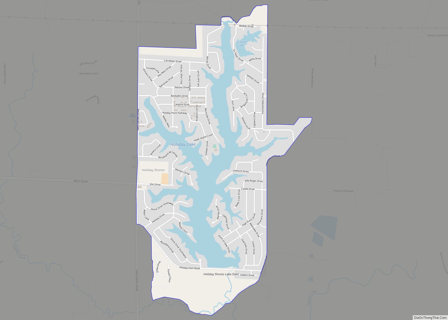
Holiday Shores is an unincorporated community and census-designated place (CDP) in Madison County, Illinois, United States. Its population was 2,840 as of the 2020 census. Holiday Shores CDP overview: Name: Holiday Shores CDP LSAD Code: 57 LSAD Description: CDP (suffix) State: Illinois County: Madison County Elevation: 518 ft (158 m) Total Area: 2.04 sq mi (5.30 km²) Land Area: 1.58 sq mi ... Read more
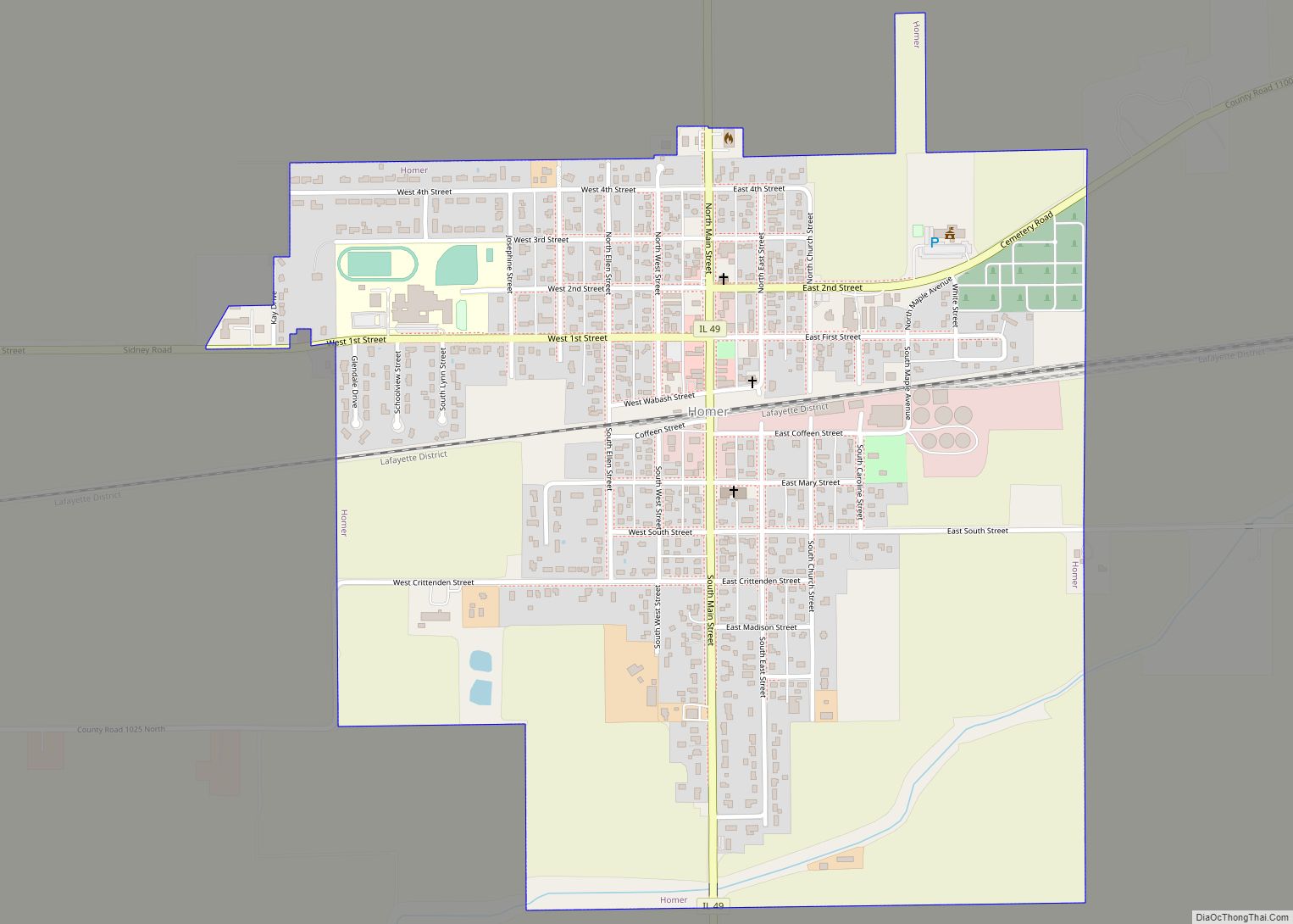
Homer is a village in Champaign County, Illinois, United States. Its population was 1,073 at the 2020 census. Homer village overview: Name: Homer village LSAD Code: 47 LSAD Description: village (suffix) State: Illinois County: Champaign County Founded: 1855 Elevation: 676 ft (206 m) Total Area: 0.98 sq mi (2.54 km²) Land Area: 0.98 sq mi (2.54 km²) Water Area: 0.00 sq mi (0.00 km²) Total Population: ... Read more
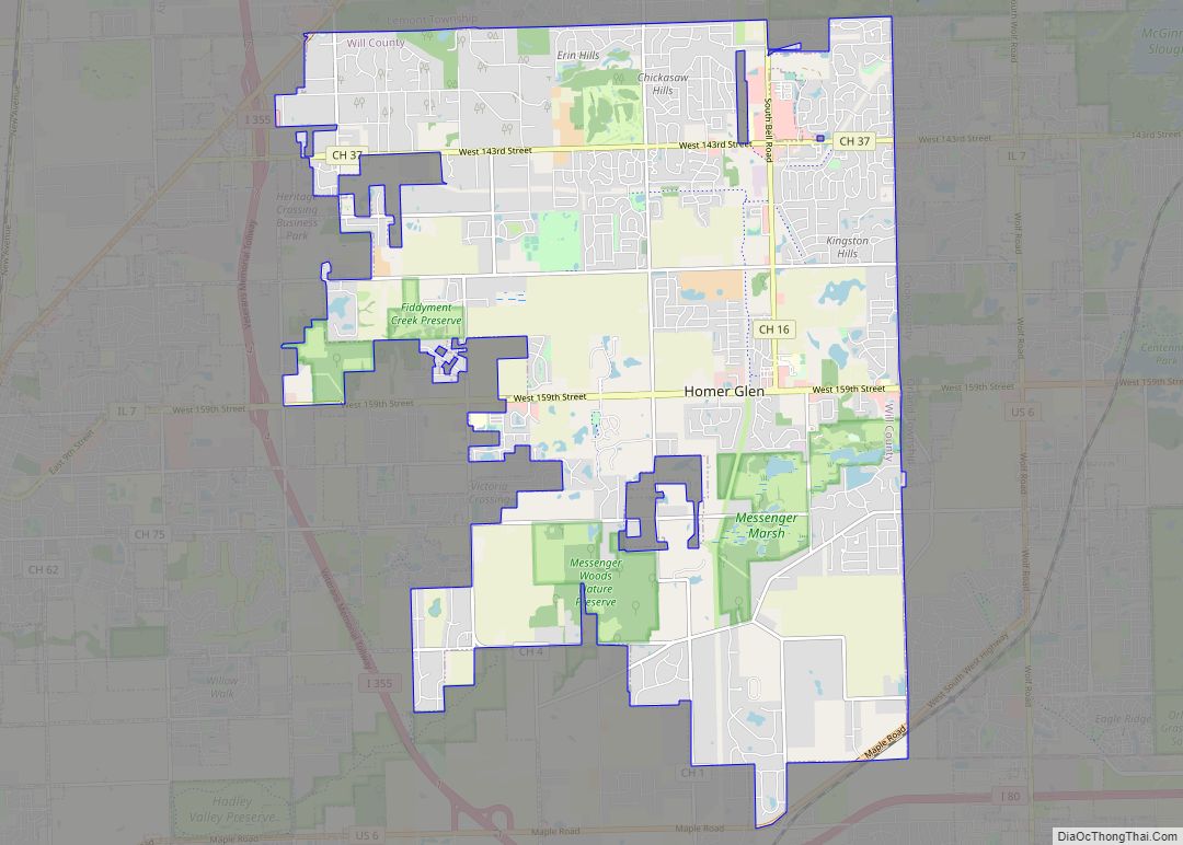
Homer Glen is a village, located 32 miles (51 km) southwest of downtown Chicago, in Homer Township, Will County, Illinois, United States. Per the 2020 census, the population was 24,543. The village was incorporated on April 17, 2001. The area that is now Homer Glen was formerly known as “Goodings Grove”. Homer Glen village overview: Name: ... Read more
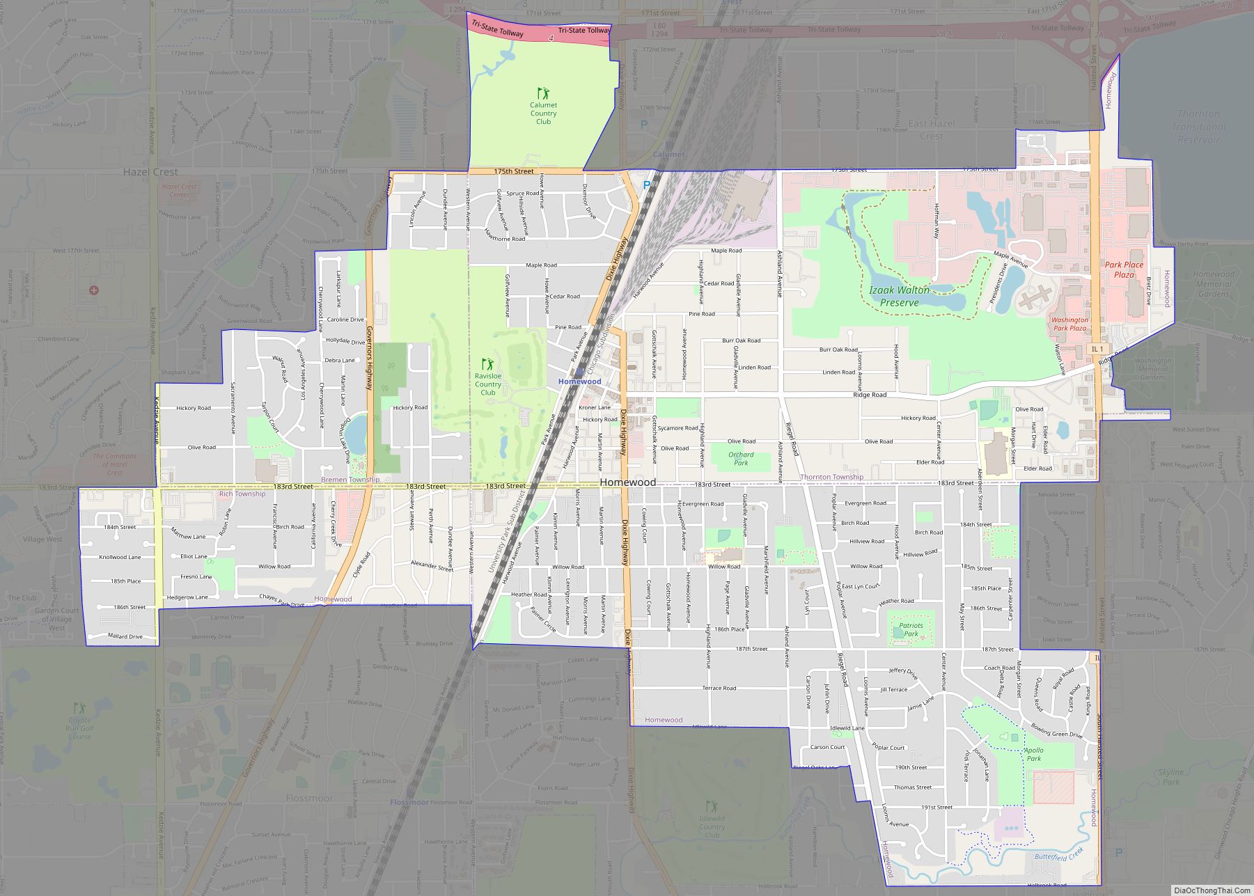
Homewood is a village in Cook County, Illinois, United States. The population was 19,463 at the 2020 census. The village sits just a few miles south of Chicago proper. It is bordered by Chicago Heights and Flossmoor to the south, Hazel Crest to the west, East Hazel Crest and Harvey to the north, Glenwood to ... Read more
Hometown is a city in Cook County, Illinois, United States. The population was 4,343 at the 2020 census. Hometown city overview: Name: Hometown city LSAD Code: 25 LSAD Description: city (suffix) State: Illinois County: Cook County Incorporated: 1953 Elevation: 623 ft (190 m) Total Area: 0.48 sq mi (1.24 km²) Land Area: 0.48 sq mi (1.24 km²) Water Area: 0.00 sq mi (0.00 km²) 0% Total ... Read more
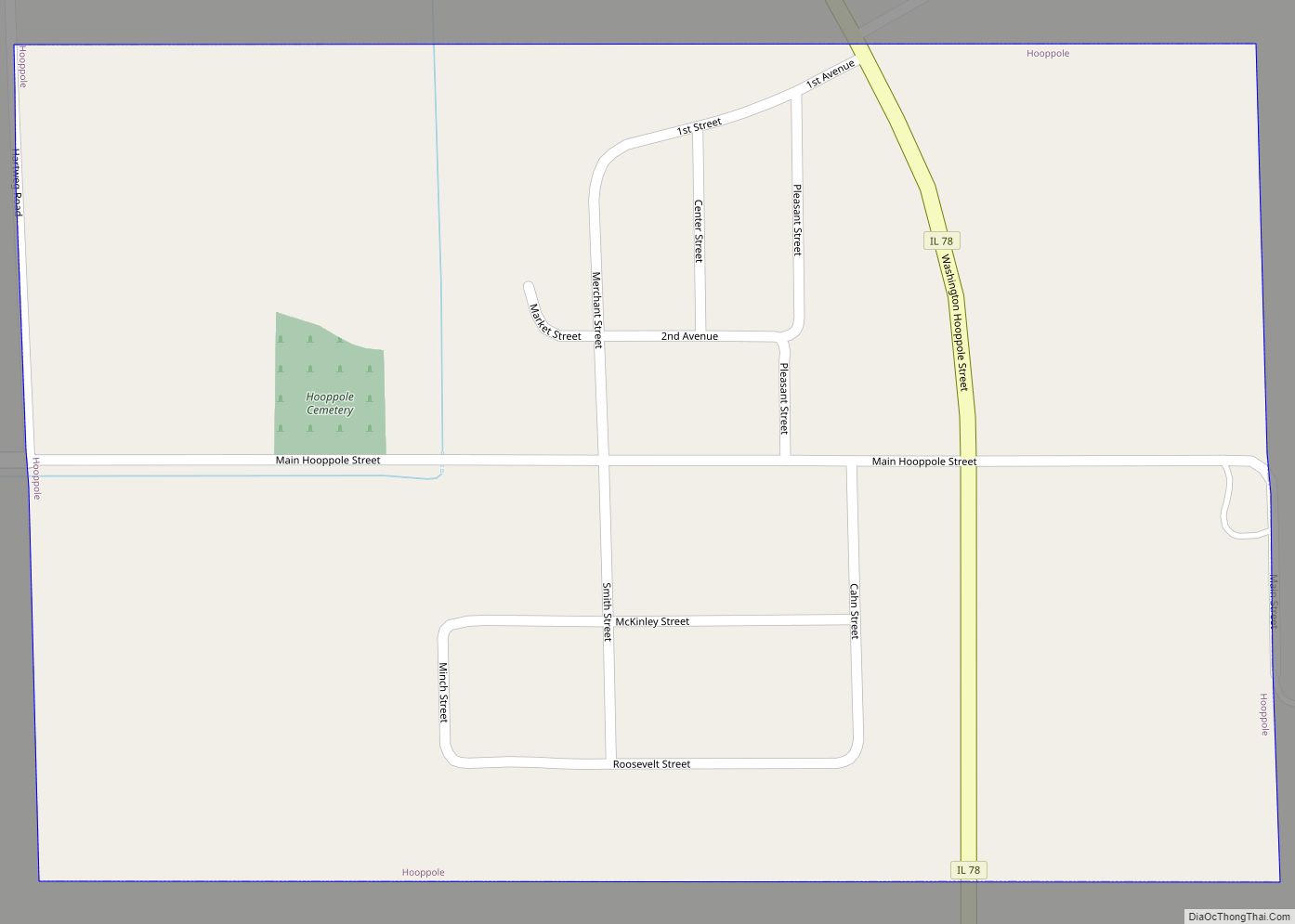
Hooppole is a village in Henry County, Illinois, United States. The population was 204 at the 2010 census, up from 162 in 2000. As of 2018, the population has grown to an estimated 236. Hooppole village overview: Name: Hooppole village LSAD Code: 47 LSAD Description: village (suffix) State: Illinois County: Henry County Total Area: 0.37 sq mi ... Read more
