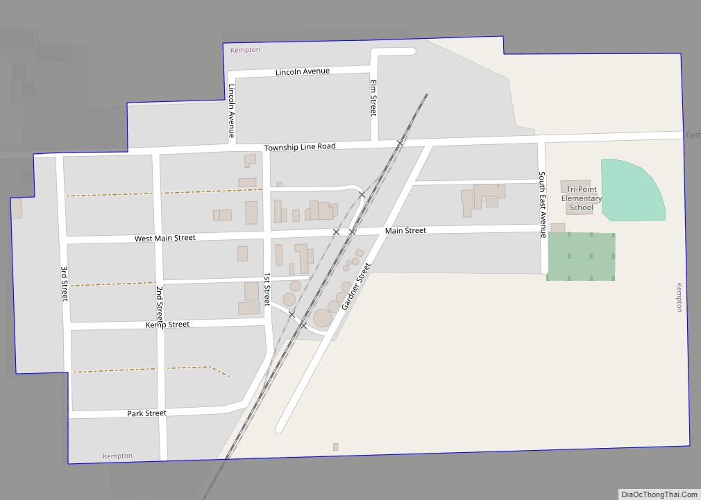
Kempton is a village in Ford County, Illinois, United States. The population was 231 at the 2010 census. Kempton village overview: Name: Kempton village LSAD Code: 47 LSAD Description: village (suffix) State: Illinois County: Ford County Elevation: 738 ft (225 m) Total Area: 0.17 sq mi (0.43 km²) Land Area: 0.17 sq mi (0.43 km²) Water Area: 0.00 sq mi (0.00 km²) Total Population: 176 Population ... Read more
Illinois Cities and Places
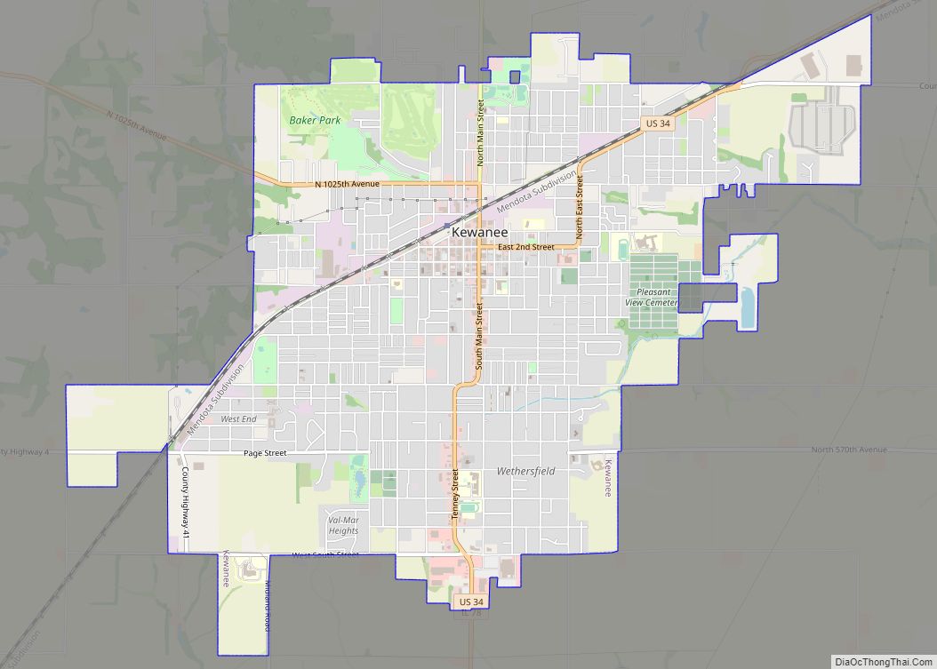
Kewanee (/kiːˈwɑːniː/ (listen)) is a city in Henry County, Illinois. “Kewanee” is the Winnebago word for greater prairie chicken, which lived there. The population was 12,509 in the 2020 census, down from 12,944 in 2000. Kewanee city overview: Name: Kewanee city LSAD Code: 25 LSAD Description: city (suffix) State: Illinois County: Henry County Incorporated: 1854 ... Read more
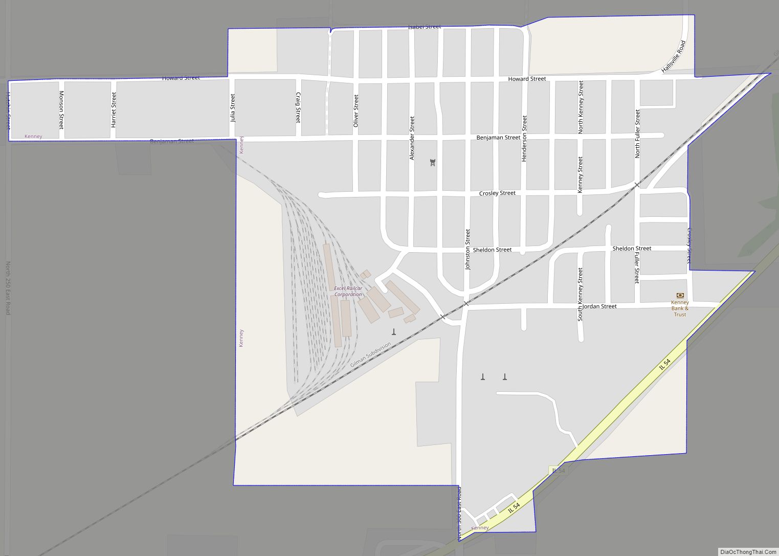
Kenney is a village in DeWitt County, Illinois, United States. The population was 326 at the 2010 census. It was named for its founder, Moses Kenney. Kenney village overview: Name: Kenney village LSAD Code: 47 LSAD Description: village (suffix) State: Illinois County: De Witt County Elevation: 653 ft (199 m) Total Area: 0.28 sq mi (0.73 km²) Land Area: 0.28 sq mi ... Read more
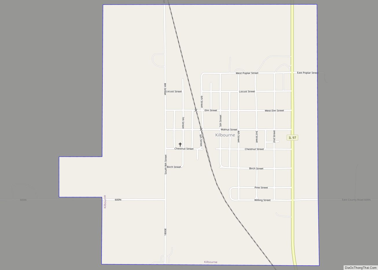
Kilbourne is a village in Mason County, Illinois, United States. The population was 265 at the 2020 census, down from 302 in 2010. Kilbourne village overview: Name: Kilbourne village LSAD Code: 47 LSAD Description: village (suffix) State: Illinois County: Mason County Elevation: 499 ft (152 m) Total Area: 0.89 sq mi (2.30 km²) Land Area: 0.89 sq mi (2.30 km²) Water Area: 0.00 sq mi ... Read more
Keyesport is a village in Bond and Clinton counties, Illinois, United States. The population was 406 at the 2020 census. Keyesport village overview: Name: Keyesport village LSAD Code: 47 LSAD Description: village (suffix) State: Illinois County: Bond County, Clinton County Elevation: 459 ft (140 m) Total Area: 0.74 sq mi (1.91 km²) Land Area: 0.72 sq mi (1.87 km²) Water Area: 0.02 sq mi (0.04 km²) ... Read more
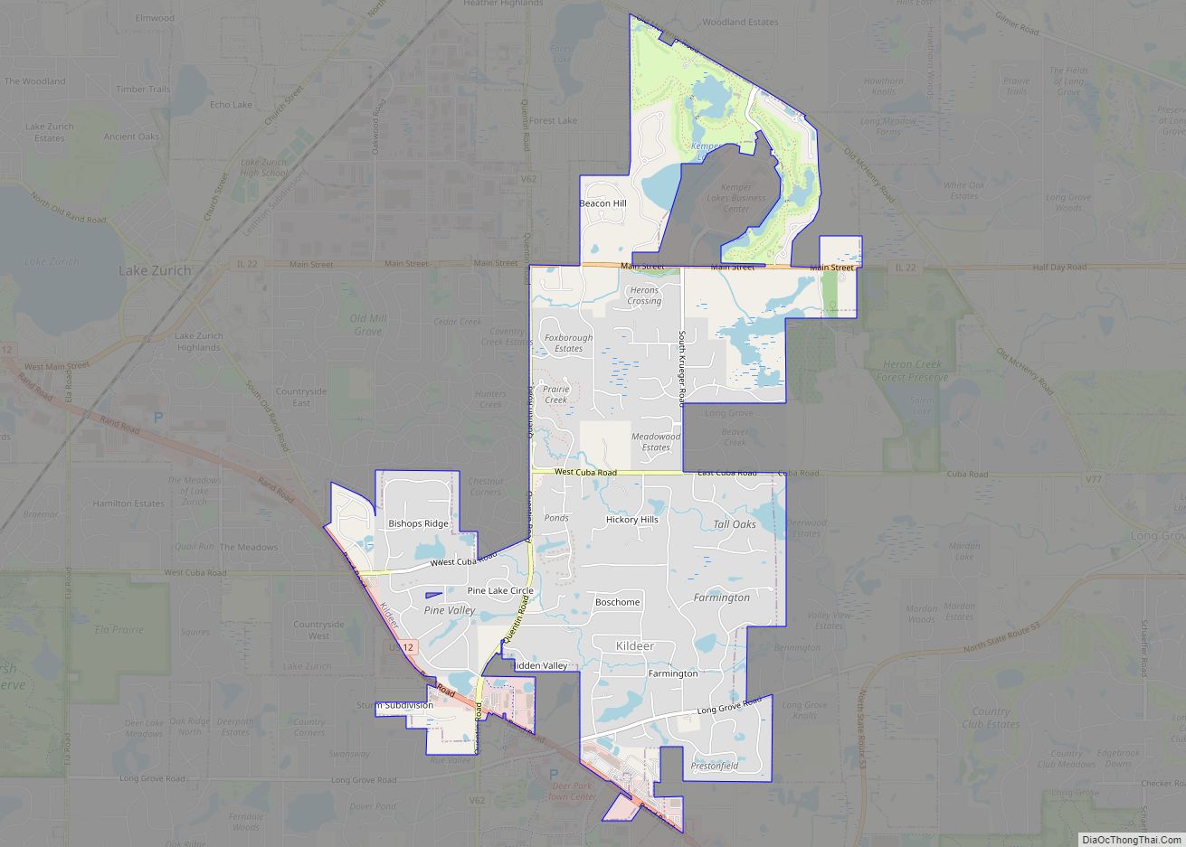
Kildeer is a village in southwestern Lake County, Illinois, United States, and a suburb of Chicago. Per the 2020 census, the population was 4,091. It has limited development to custom houses on large lots, and has worked to preserve natural features and open space. Kildeer village overview: Name: Kildeer village LSAD Code: 47 LSAD Description: ... Read more
Kincaid is a village in Christian County, Illinois. The population was 1,349 at the 2020 census. Kincaid village overview: Name: Kincaid village LSAD Code: 47 LSAD Description: village (suffix) State: Illinois County: Christian County Elevation: 600 ft (200 m) Total Area: 0.82 sq mi (2.12 km²) Land Area: 0.82 sq mi (2.12 km²) Water Area: 0.00 sq mi (0.00 km²) Total Population: 1,349 Population Density: 1,651.16/sq mi ... Read more
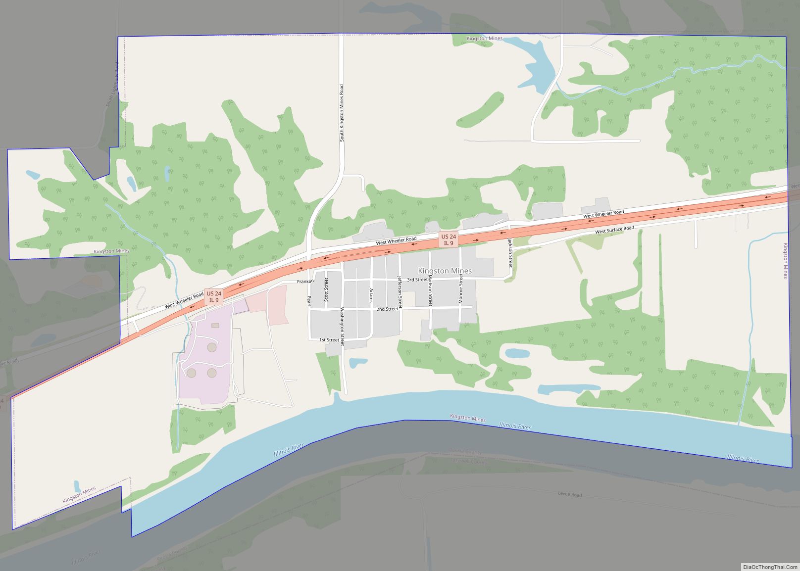
Kingston Mines is a village in Peoria County, Illinois, United States. The population was 259 at the 2000 census. It is part of the Peoria, Illinois Metropolitan Statistical Area. Located on the Illinois River, it was a shipping port, loading coal from the nearby mines (the largest nearby mine was called, Kingston). Kingston Mines village ... Read more
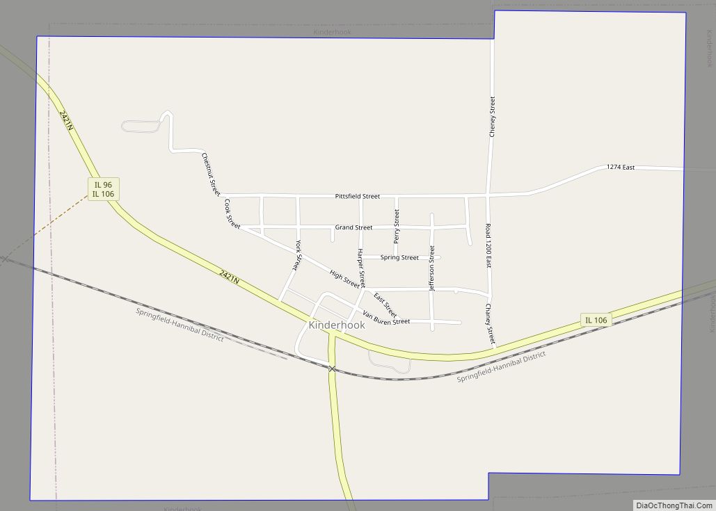
Kinderhook is a village in Pike County, Illinois, United States. The population was 216 at the 2010 census, a decline from 249 in 2000. Kinderhook village overview: Name: Kinderhook village LSAD Code: 47 LSAD Description: village (suffix) State: Illinois County: Pike County Elevation: 518 ft (158 m) Total Area: 0.81 sq mi (2.09 km²) Land Area: 0.81 sq mi (2.09 km²) Water Area: ... Read more
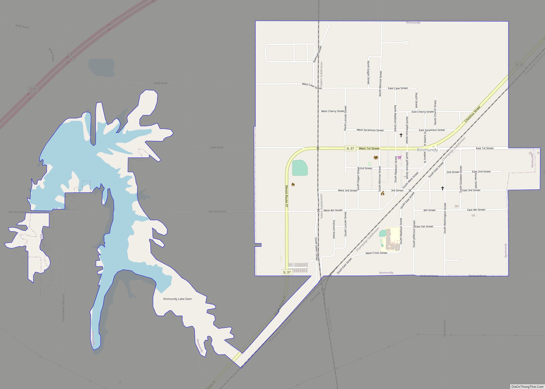
Kinmundy is a city in Marion County, Illinois, United States. The population was 733 at the 2020 census. The town is believed to have been named after a place in Scotland, the birthplace of William Ferguson, a London agent for the Illinois Central Railroad during Kinmundy’s construction. He visited the area in 1856. Kinmundy city ... Read more
Kingston is a village in DeKalb County, Illinois, United States. The population was 1,108 at the 2020 census, down from 1,164 at the 2010 census. Kingston village overview: Name: Kingston village LSAD Code: 47 LSAD Description: village (suffix) State: Illinois County: DeKalb County Total Area: 1.01 sq mi (2.61 km²) Land Area: 0.98 sq mi (2.55 km²) Water Area: 0.03 sq mi (0.07 km²) ... Read more
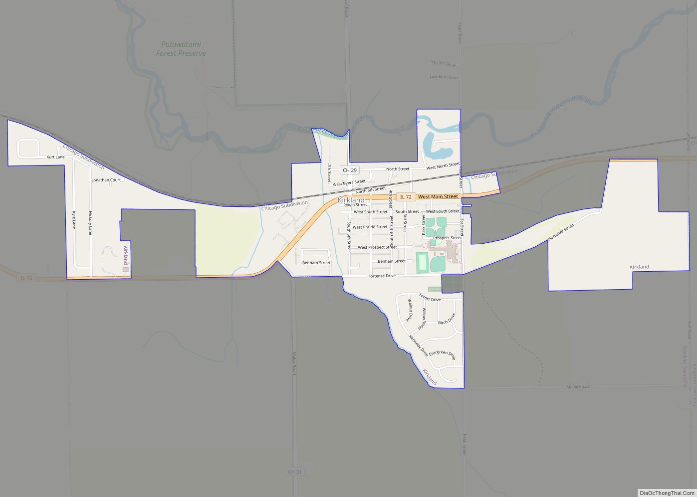
Kirkland is a village in DeKalb County, Illinois, United States. The population was 1,650 at the 2020 census, down from 1,744 at the 2010 census. Kirkland village overview: Name: Kirkland village LSAD Code: 47 LSAD Description: village (suffix) State: Illinois County: DeKalb County Total Area: 1.24 sq mi (3.21 km²) Land Area: 1.23 sq mi (3.18 km²) Water Area: 0.01 sq mi (0.04 km²) ... Read more
