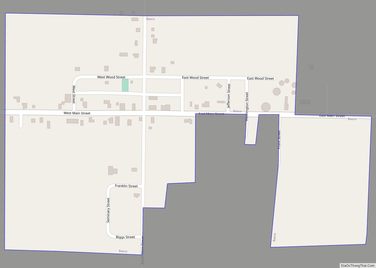
Basco is a village in Bear Creek Township, Hancock County, Illinois, United States. The population was 98 at the 2010 census. Basco village overview: Name: Basco village LSAD Code: 47 LSAD Description: village (suffix) State: Illinois County: Hancock County Elevation: 633 ft (193 m) Total Area: 0.22 sq mi (0.58 km²) Land Area: 0.22 sq mi (0.58 km²) Water Area: 0.00 sq mi (0.00 km²) Total ... Read more
Illinois Cities and Places
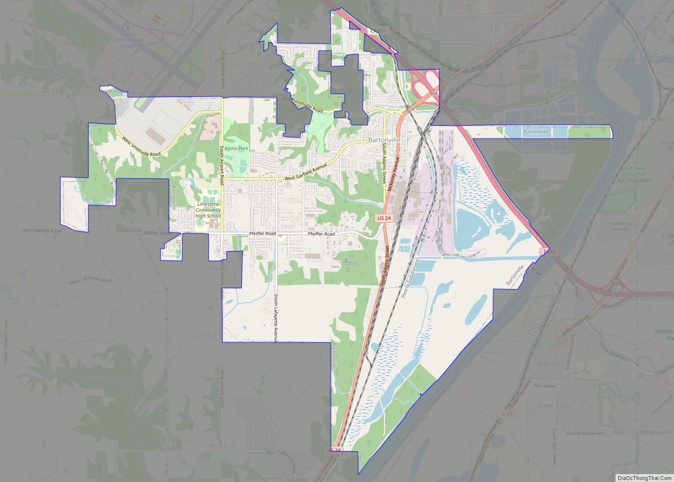
Bartonville is a village in Peoria County, Illinois, United States. The population was 6,471 at the 2010 census. Bartonville is a suburb of Peoria and is part of the Peoria, Illinois Metropolitan Statistical Area. Bartonville village overview: Name: Bartonville village LSAD Code: 47 LSAD Description: village (suffix) State: Illinois County: Peoria County Total Area: 8.50 sq mi ... Read more
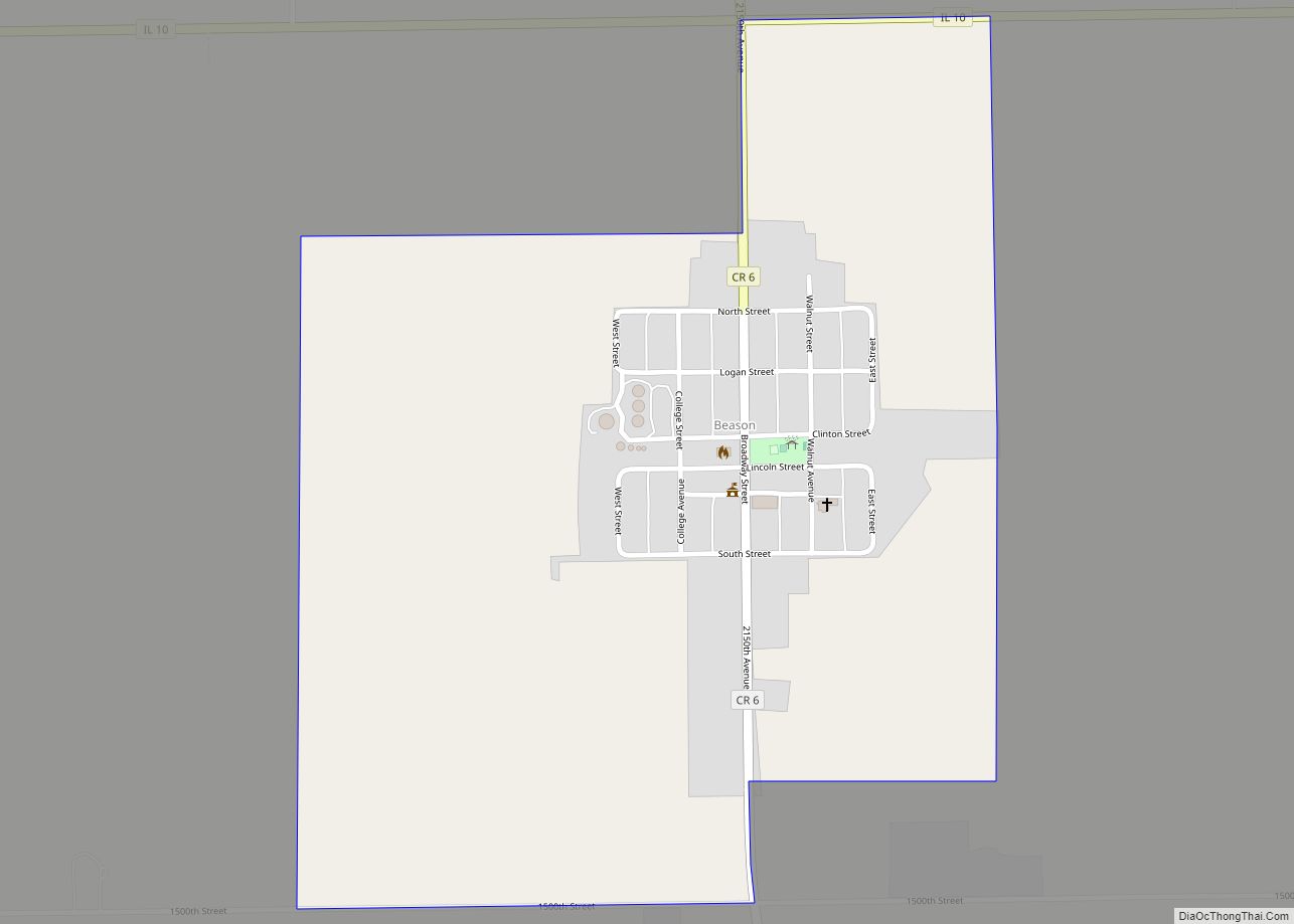
Beason is an unincorporated census-designated place (CDP) in Oran Township, Logan County, Illinois, United States. The town lies one mile (1.6 km) south of Illinois Route 10. At the 2010 census, Beason had a population of 189. Beason has a post office with ZIP code 62512. Beason CDP overview: Name: Beason CDP LSAD Code: 57 LSAD ... Read more
Belleville is a city and the county seat of St. Clair County, Illinois, United States. It is located within Greater St. Louis. The population was 42,404 at the 2020 census, making it the most-populated city in Southern Illinois and in the Metro East region of Greater St. Louis. Due to its proximity to Scott Air ... Read more
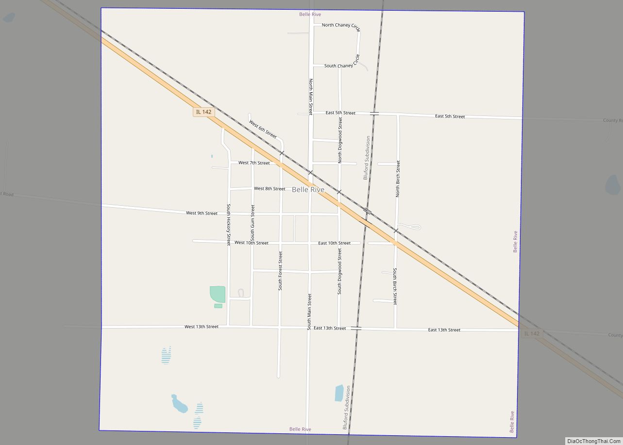
Belle Rive is a village in Jefferson County, Illinois, United States. The population was 361 at the 2010 census. It is part of the Mount Vernon Micropolitan Statistical Area. Belle Rive village overview: Name: Belle Rive village LSAD Code: 47 LSAD Description: village (suffix) State: Illinois County: Jefferson County Elevation: 476 ft (145 m) Total Area: 1.03 sq mi ... Read more
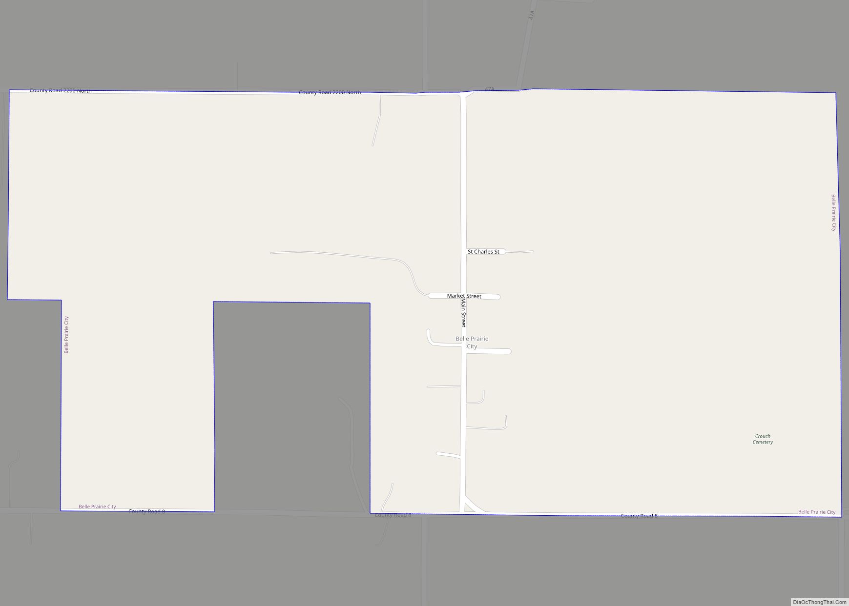
Belle Prairie City is an incorporated town in Hamilton County, Illinois, United States. The population was 49 at the 2020 census. It is part of the Mount Vernon Micropolitan Statistical Area. Belle Prairie City town overview: Name: Belle Prairie City town LSAD Code: 43 LSAD Description: town (suffix) State: Illinois County: Hamilton County Incorporated: March 30, 1869 (1869-03-30) ... Read more
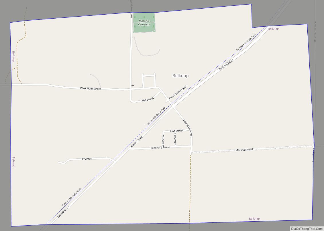
Belknap is a village in Johnson County, Illinois, United States. The population was 104 at the 2010 census. Belknap village overview: Name: Belknap village LSAD Code: 47 LSAD Description: village (suffix) State: Illinois County: Johnson County Elevation: 341 ft (104 m) Total Area: 1.06 sq mi (2.74 km²) Land Area: 1.06 sq mi (2.74 km²) Water Area: 0.00 sq mi (0.01 km²) Total Population: 88 Population ... Read more
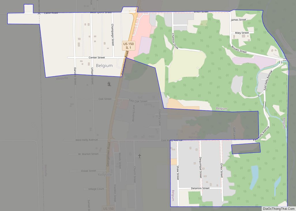
Belgium is a village in Vermilion County, Illinois, United States. It is part of the Danville, Illinois Metropolitan Statistical Area. The population was 404 at the 2010 census. Belgium village overview: Name: Belgium village LSAD Code: 47 LSAD Description: village (suffix) State: Illinois County: Vermilion County Elevation: 656 ft (200 m) Total Area: 0.43 sq mi (1.12 km²) Land Area: ... Read more
Beecher is a village in Will County, Illinois, United States. It is located on the old Chicago and Eastern Illinois Railroad and the Dixie Highway. Situated in the center of Washington Township, it was originally named Washington Center. Named for Henry Ward Beecher, Beecher was founded in 1870 and incorporated as a village in 1884. ... Read more
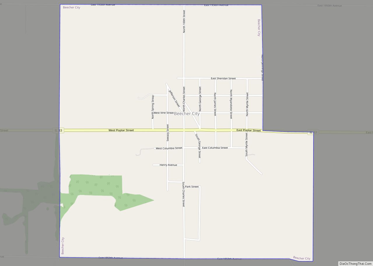
Beecher City is a village in Effingham County, Illinois, United States. Beecher City is part of the Effingham, IL Micropolitan Statistical Area. The population was 428 at the 2020 census. Beecher City was founded in 1872. Beecher City village overview: Name: Beecher City village LSAD Code: 47 LSAD Description: village (suffix) State: Illinois County: Effingham ... Read more
Bedford Park is a village in Cook County, Illinois, United States, and is an industrial suburb of Chicago. The population was 602 at the 2020 census. Bedford Park consists of a small residential area and vast amounts of heavy industry sprawling to the east and a small amount to the west. Bedford Park village overview: ... Read more
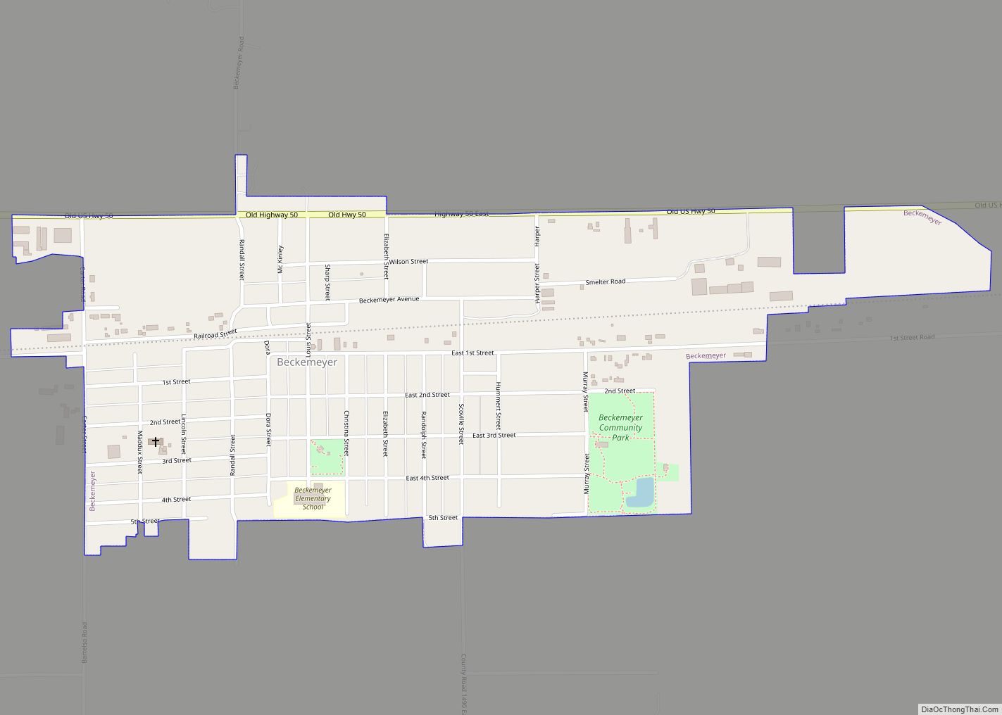
Beckemeyer is a village in Wade Township, Clinton County, Illinois, United States. The population was 923 as of the 2020 census. Beckemeyer village overview: Name: Beckemeyer village LSAD Code: 47 LSAD Description: village (suffix) State: Illinois County: Clinton County Elevation: 456 ft (139 m) Total Area: 0.62 sq mi (1.60 km²) Land Area: 0.62 sq mi (1.60 km²) Water Area: 0.00 sq mi (0.00 km²) Total ... Read more
