Hartford is a city in Warren County, Iowa, United States. The population was 733 at the time of the 2020 census. It is part of the Des Moines–West Des Moines Metropolitan Statistical Area. Hartford city overview: Name: Hartford city LSAD Code: 25 LSAD Description: city (suffix) State: Iowa County: Warren County Elevation: 879 ft (268 m) Total ... Read more
Iowa Cities and Places
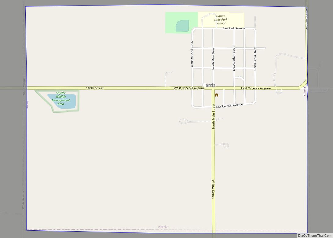
Harris is a city in Osceola County, Iowa, United States. The population was 151 at the time of the 2020 census. Harris city overview: Name: Harris city LSAD Code: 25 LSAD Description: city (suffix) State: Iowa County: Osceola County Elevation: 1,549 ft (472 m) Total Area: 1.00 sq mi (2.59 km²) Land Area: 1.00 sq mi (2.59 km²) Water Area: 0.00 sq mi (0.00 km²) Total ... Read more
Hastings is a city in Mills County, Iowa, United States. The population was 152 at the time of the 2020 census. Hastings city overview: Name: Hastings city LSAD Code: 25 LSAD Description: city (suffix) State: Iowa County: Mills County Elevation: 1,004 ft (306 m) Total Area: 0.41 sq mi (1.06 km²) Land Area: 0.41 sq mi (1.06 km²) Water Area: 0.00 sq mi (0.00 km²) Total ... Read more
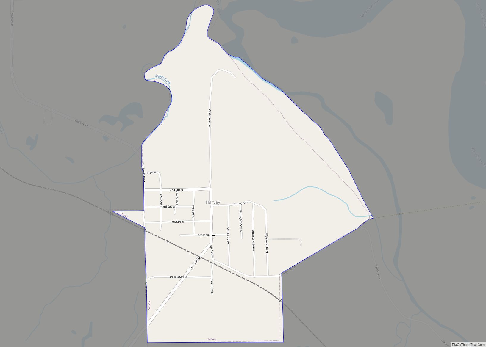
Harvey is a city in Marion County, Iowa, United States. At the time of the 2020 census, its population was 236. Harvey city overview: Name: Harvey city LSAD Code: 25 LSAD Description: city (suffix) State: Iowa County: Marion County Elevation: 725 ft (221 m) Total Area: 0.68 sq mi (1.75 km²) Land Area: 0.68 sq mi (1.75 km²) Water Area: 0.00 sq mi (0.00 km²) Total ... Read more
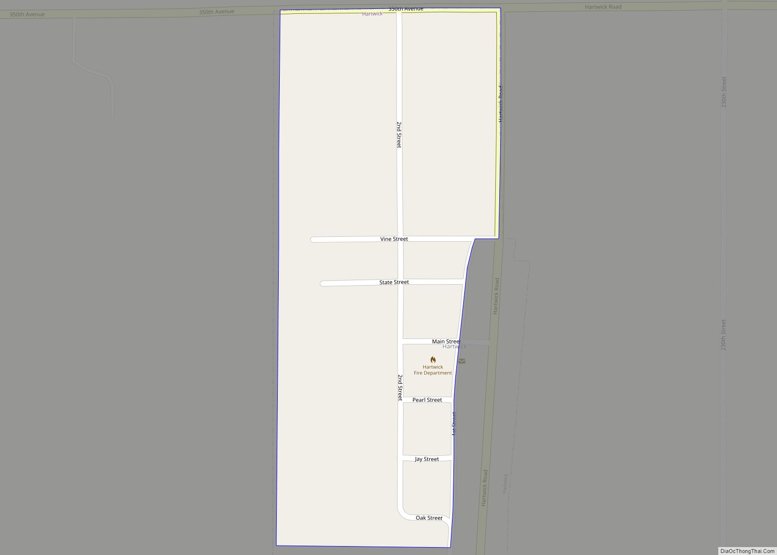
Hartwick is a city in Poweshiek County, Iowa, United States. The population was 92 at the time of the 2020 census. Hartwick city overview: Name: Hartwick city LSAD Code: 25 LSAD Description: city (suffix) State: Iowa County: Poweshiek County Elevation: 928 ft (283 m) Total Area: 0.16 sq mi (0.41 km²) Land Area: 0.16 sq mi (0.41 km²) Water Area: 0.00 sq mi (0.00 km²) Total ... Read more
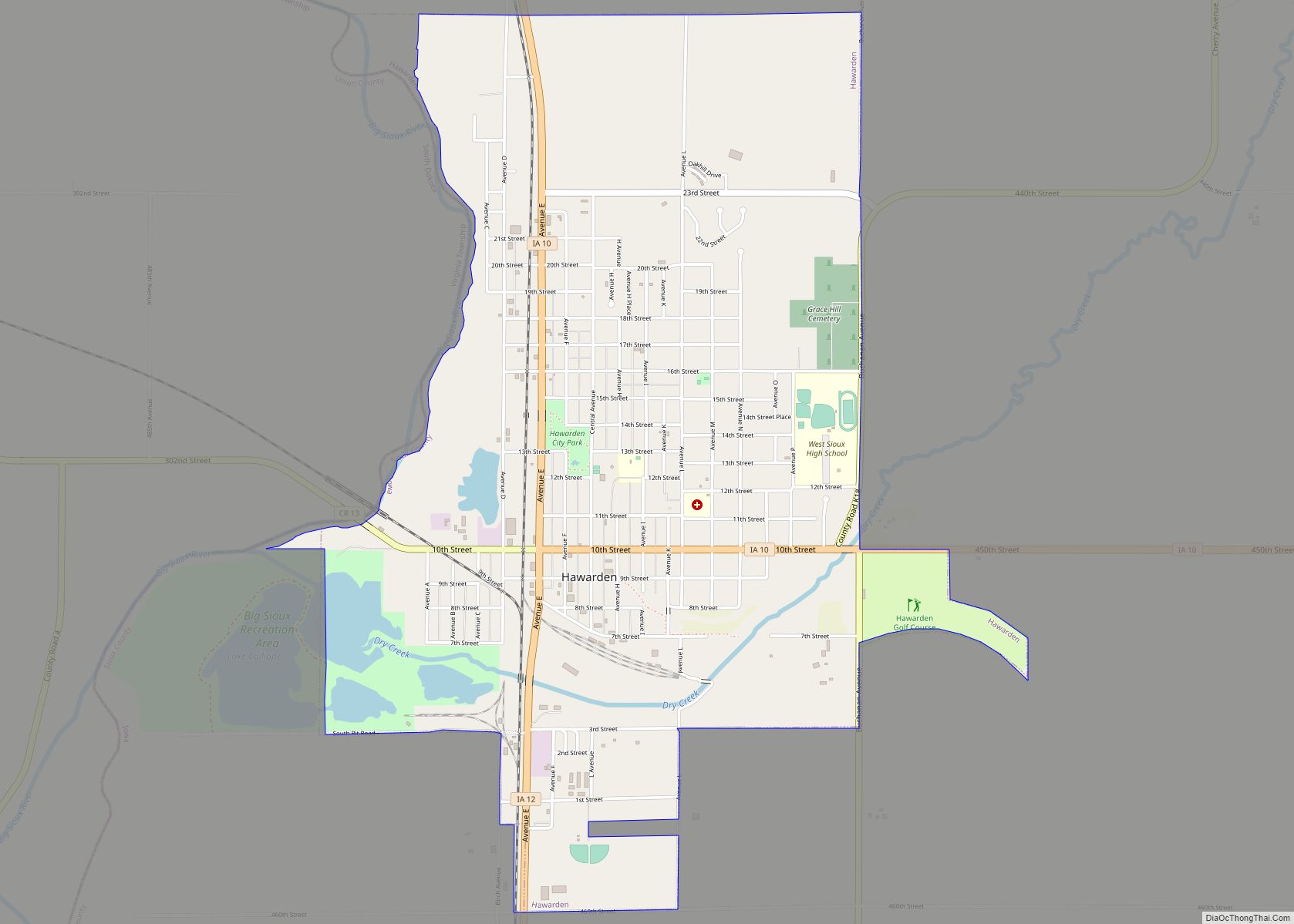
Hawarden is a city in Sioux County, Iowa, United States. The population was 2,700 at the time of the 2020 census. It is located on the Big Sioux River. Hawarden city overview: Name: Hawarden city LSAD Code: 25 LSAD Description: city (suffix) State: Iowa County: Sioux County Incorporated: March 18, 1887 Elevation: 1,181 ft (360 m) Total ... Read more
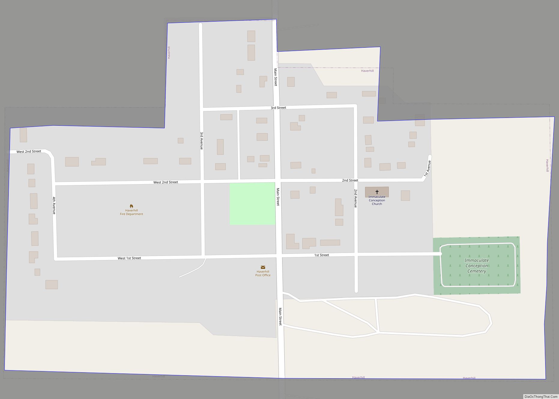
Haverhill is a city in Marshall County, Iowa, United States. The population was 165 at the time of the 2020 census. Sites in Haverhill include the Immaculate Conception oratory, the Matthew Edel Blacksmith Shop and House, and the Mid-Iowa Co-Op, which owns the grain elevators on the south end of the city. A series of ... Read more
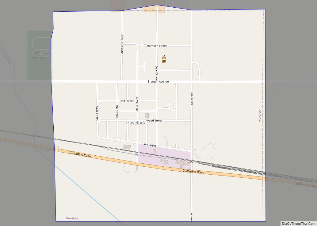
Havelock is a city in Pocahontas County, Iowa, United States. The population was 130 at the time of the 2020 census. Havelock city overview: Name: Havelock city LSAD Code: 25 LSAD Description: city (suffix) State: Iowa County: Pocahontas County Elevation: 1,230 ft (375 m) Total Area: 0.56 sq mi (1.45 km²) Land Area: 0.56 sq mi (1.45 km²) Water Area: 0.00 sq mi (0.00 km²) Total ... Read more
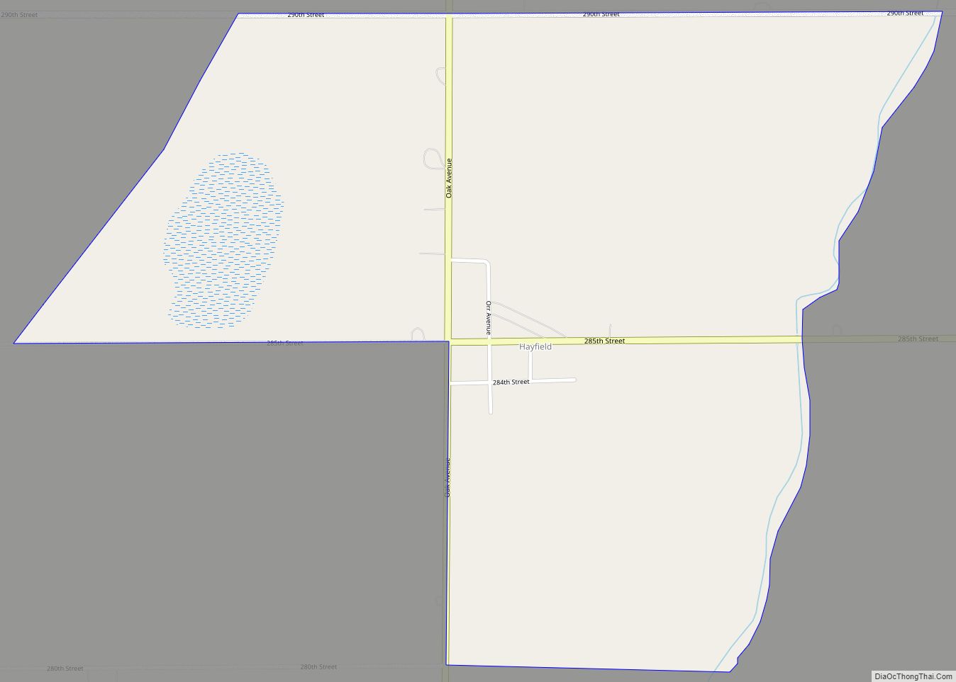
Hayfield is an unincorporated community and census-designated place in Hancock County, Iowa, United States. As of the 2010 census the population was 43. Hayfield CDP overview: Name: Hayfield CDP LSAD Code: 57 LSAD Description: CDP (suffix) State: Iowa County: Hancock County Elevation: 1,248 ft (380 m) Total Area: 0.97 sq mi (2.52 km²) Land Area: 0.97 sq mi (2.52 km²) Water Area: 0.00 sq mi ... Read more
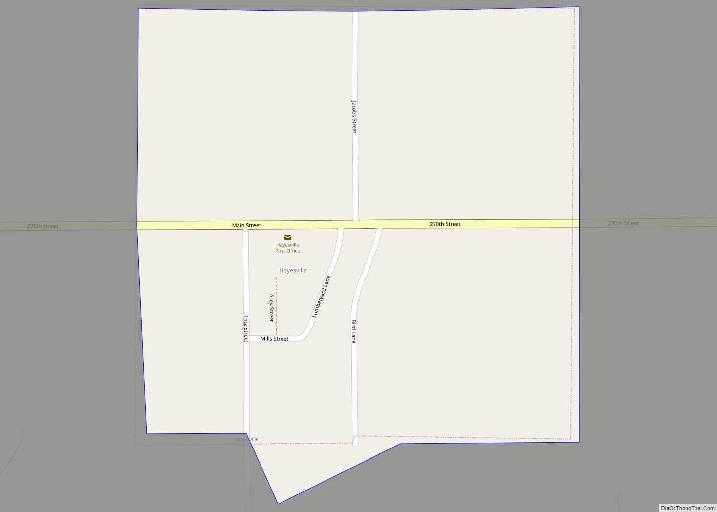
Hayesville is a city in Keokuk County, Iowa, United States. The population was 41 at the time of the 2020 census. Hayesville city overview: Name: Hayesville city LSAD Code: 25 LSAD Description: city (suffix) State: Iowa County: Keokuk County Elevation: 797 ft (243 m) Total Area: 0.25 sq mi (0.65 km²) Land Area: 0.25 sq mi (0.65 km²) Water Area: 0.00 sq mi (0.00 km²) Total ... Read more
Hawkeye is a city in Fayette County, Iowa, United States. The population was 438 at the time of the 2020 census. Hawkeye city overview: Name: Hawkeye city LSAD Code: 25 LSAD Description: city (suffix) State: Iowa County: Fayette County Elevation: 1,168 ft (356 m) Total Area: 0.67 sq mi (1.74 km²) Land Area: 0.67 sq mi (1.74 km²) Water Area: 0.00 sq mi (0.00 km²) Total ... Read more
Hazleton is a city in Buchanan County, Iowa, United States. The population was 713 at the time of the 2020 census. Hazleton city overview: Name: Hazleton city LSAD Code: 25 LSAD Description: city (suffix) State: Iowa County: Buchanan County Elevation: 1,010 ft (308 m) Total Area: 0.84 sq mi (2.17 km²) Land Area: 0.80 sq mi (2.07 km²) Water Area: 0.04 sq mi (0.10 km²) Total ... Read more

