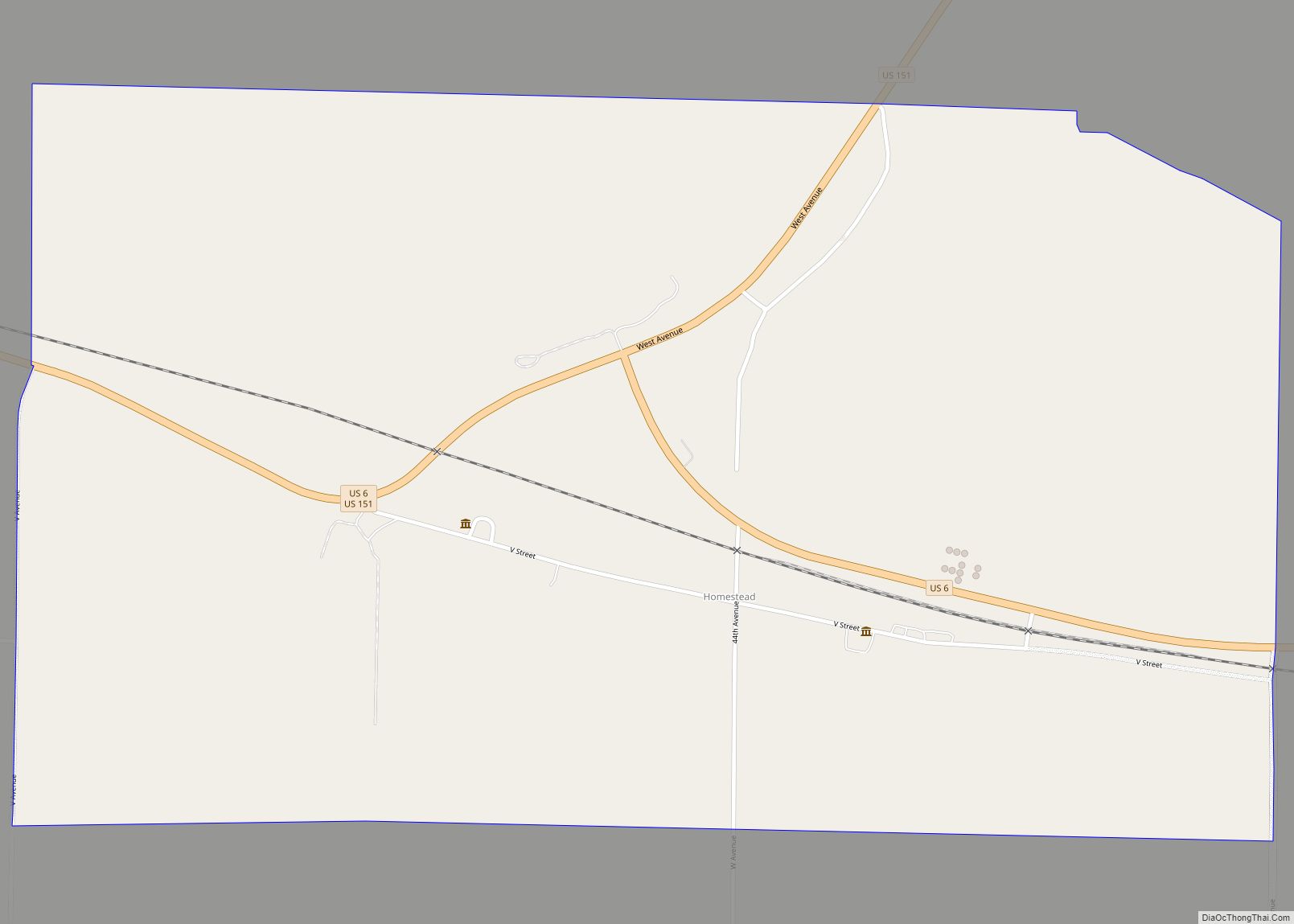
Homestead is an unincorporated community in Iowa County, Iowa, United States. It has the ZIP code 52236. Homestead is a census-designated place with the population recorded as 148 in the 2010 census. Homestead CDP overview: Name: Homestead CDP LSAD Code: 57 LSAD Description: CDP (suffix) State: Iowa County: Iowa County Elevation: 860 ft (260 m) Total Area: ... Read more
Iowa Cities and Places
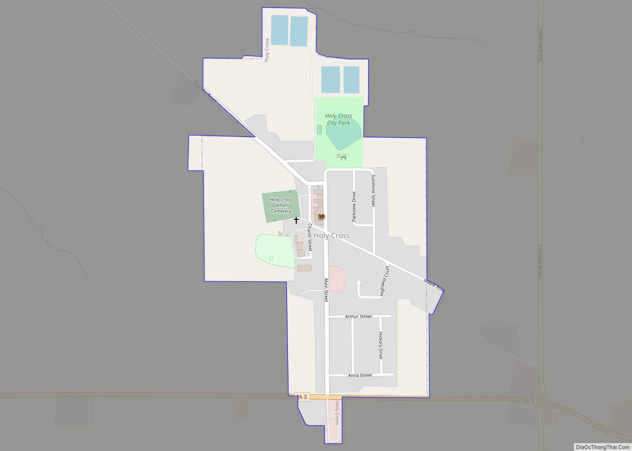
Holy Cross is a city in Dubuque County, Iowa, United States. It is part of the Dubuque, Iowa Metropolitan Statistical Area. The population was 356 at the time of the 2020 census, down from 399 in 2000. Holy Cross city overview: Name: Holy Cross city LSAD Code: 25 LSAD Description: city (suffix) State: Iowa County: ... Read more
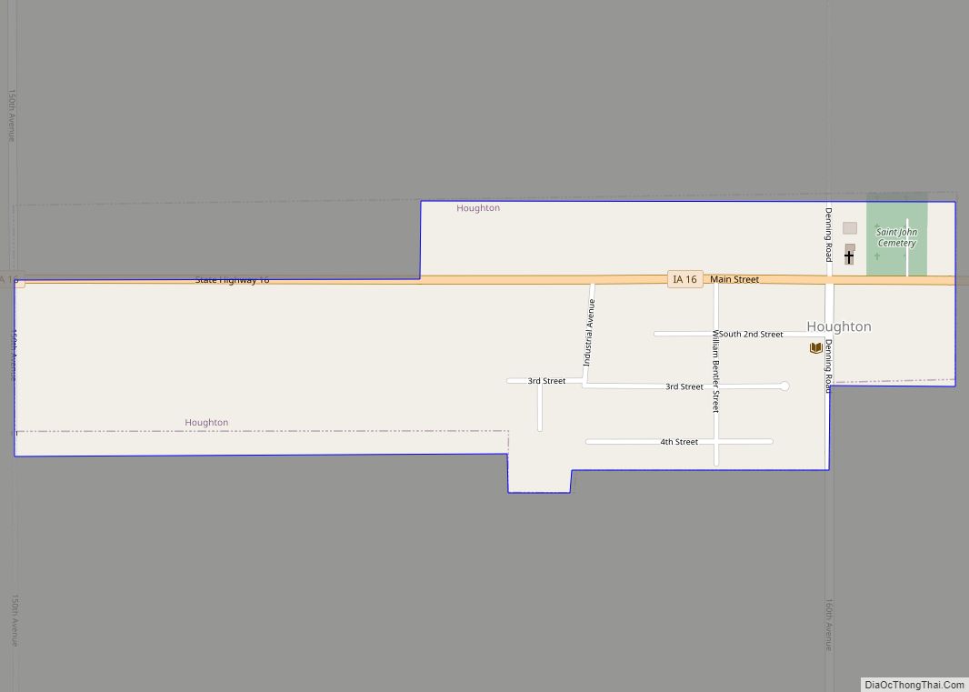
Houghton is a city in Lee County, Iowa, United States. The population was 141 at the 2020 census. It is part of the Fort Madison–Keokuk, IA-MO Micropolitan Statistical Area. Houghton city overview: Name: Houghton city LSAD Code: 25 LSAD Description: city (suffix) State: Iowa County: Lee County Elevation: 715 ft (218 m) Total Area: 0.30 sq mi (0.77 km²) Land ... Read more
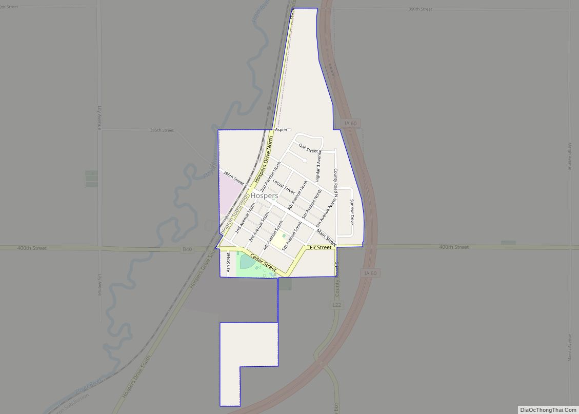
Hospers is a city in Sioux County, Iowa, United States, along the Floyd River. The population was 718 at the time of the 2020 census. Hospers city overview: Name: Hospers city LSAD Code: 25 LSAD Description: city (suffix) State: Iowa County: Sioux County Incorporated: December 6, 1890 Elevation: 1,348 ft (411 m) Total Area: 0.50 sq mi (1.30 km²) Land ... Read more
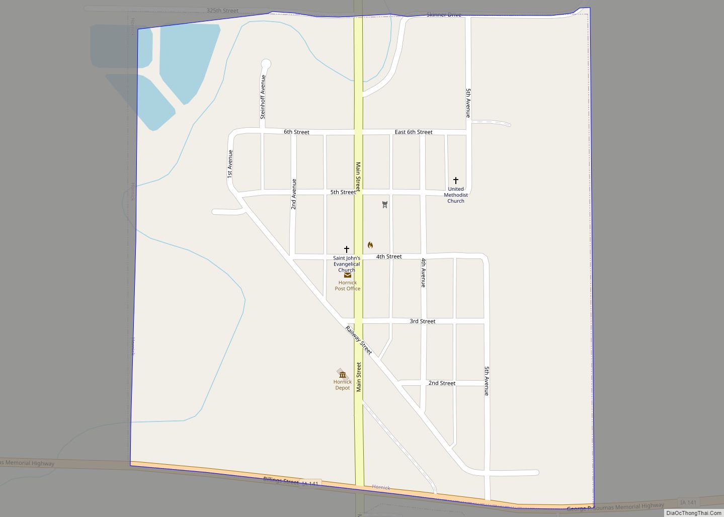
Hornick is a city in Woodbury County, Iowa, United States. It is part of the Sioux City, IA–NE–SD metropolitan statistical area. The population was 255 at the time of the 2020 census. Hornick city overview: Name: Hornick city LSAD Code: 25 LSAD Description: city (suffix) State: Iowa County: Woodbury County Incorporated: June 23, 1896 Elevation: ... Read more
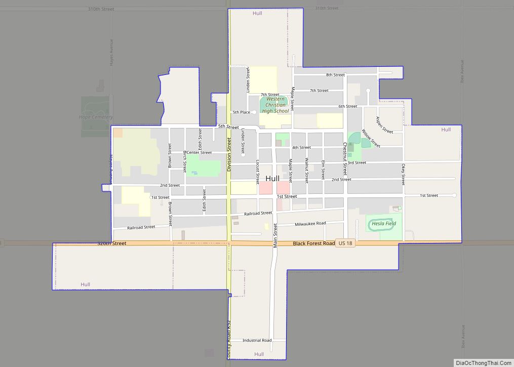
Hull is a city in Sioux County, Iowa. The population was 2,384 at the time of the 2020 census. Hull city overview: Name: Hull city LSAD Code: 25 LSAD Description: city (suffix) State: Iowa County: Sioux County Incorporated: May 15, 1886 Elevation: 1,440 ft (439 m) Total Area: 1.41 sq mi (3.64 km²) Land Area: 1.41 sq mi (3.64 km²) Water Area: 0.00 sq mi ... Read more
Hudson is a city in Black Hawk County, Iowa, United States. The population was 2,546 at the time of the 2020 census. The rural community of Hudson has grown in recent years and is included as a part of the Waterloo-Cedar Falls Metropolitan Statistical Area. Hudson city overview: Name: Hudson city LSAD Code: 25 LSAD ... Read more
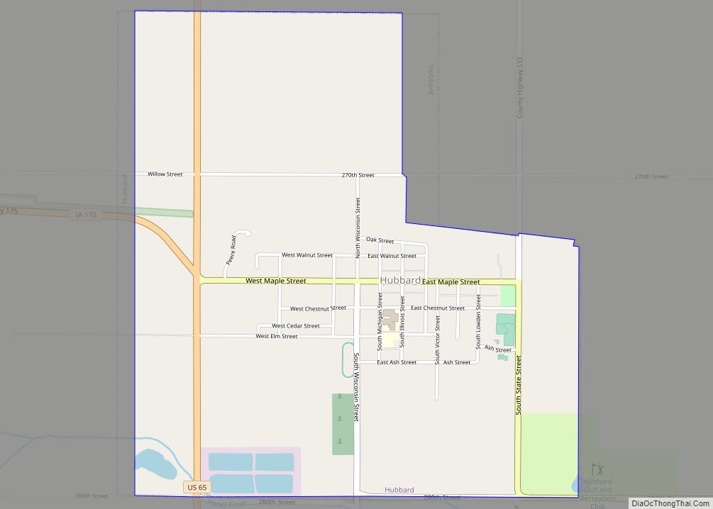
Hubbard is a city in Hardin County, Iowa, United States. The population was 860 at the time of the 2020 census. Hubbard city overview: Name: Hubbard city LSAD Code: 25 LSAD Description: city (suffix) State: Iowa County: Hardin County Elevation: 1,093 ft (333 m) Total Area: 1.85 sq mi (4.78 km²) Land Area: 1.85 sq mi (4.78 km²) Water Area: 0.00 sq mi (0.00 km²) Total ... Read more
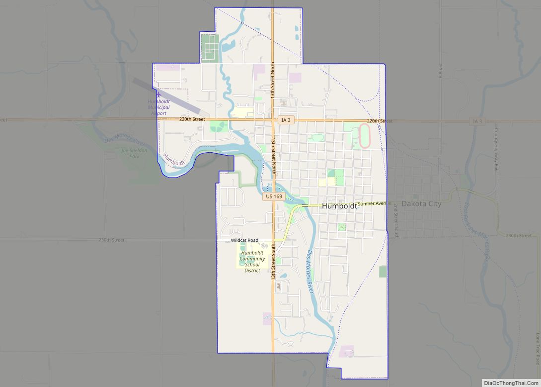
Humboldt is a city in Humboldt County, Iowa, United States. The population was 4,792 at the time of the 2020 census, gaining 102 people over the 2010 total. Humboldt city overview: Name: Humboldt city LSAD Code: 25 LSAD Description: city (suffix) State: Iowa County: Humboldt County Elevation: 1,083 ft (330 m) Total Area: 4.68 sq mi (12.13 km²) Land Area: ... Read more
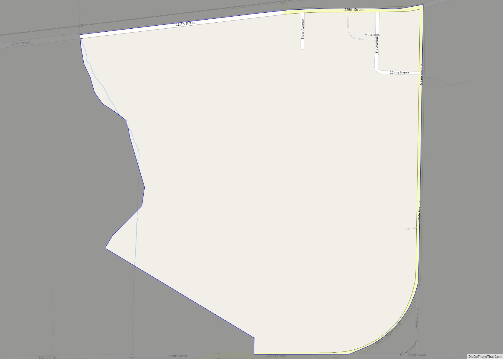
Hutchins is an unincorporated community and census-designated place in Hancock County, Iowa, United States. As of the 2010 census the population was 28. Hutchins CDP overview: Name: Hutchins CDP LSAD Code: 57 LSAD Description: CDP (suffix) State: Iowa County: Hancock County Elevation: 1,201 ft (366 m) Total Area: 0.30 sq mi (0.78 km²) Land Area: 0.30 sq mi (0.78 km²) Water Area: 0.00 sq mi ... Read more
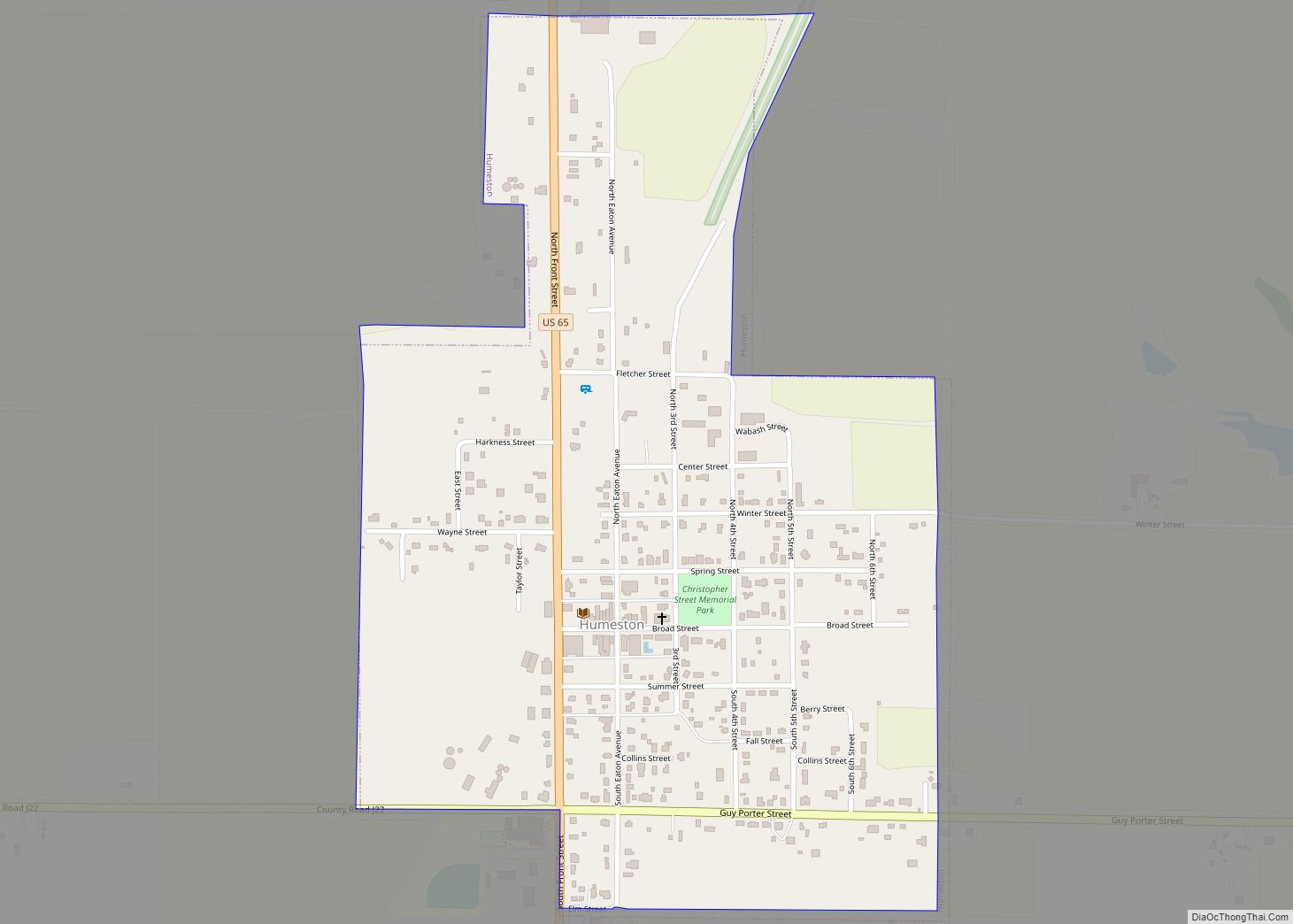
Humeston is a city in Wayne County, Iowa, United States. The population was 465 in the 2020 census, a decline from 542 in 2000. Humeston city overview: Name: Humeston city LSAD Code: 25 LSAD Description: city (suffix) State: Iowa County: Wayne County Elevation: 1,106 ft (337 m) Total Area: 0.63 sq mi (1.64 km²) Land Area: 0.62 sq mi (1.62 km²) Water Area: ... Read more
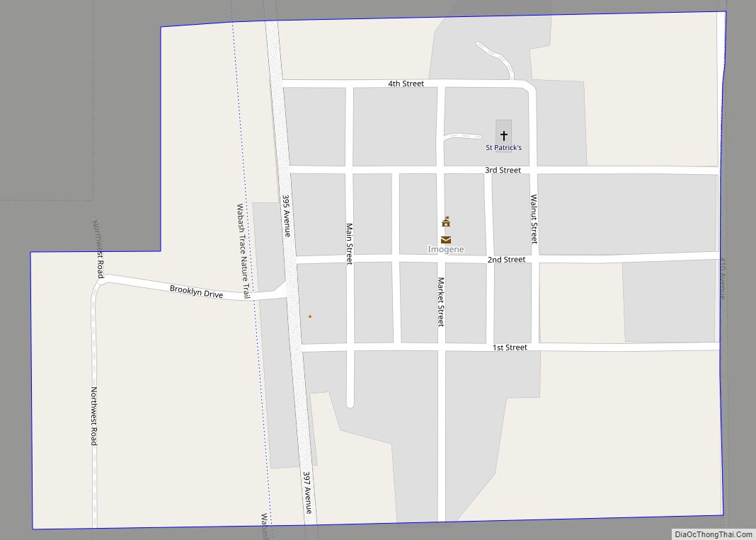
Imogene is a city in Fremont County, Iowa, United States. The population was 39 at the time of the 2020 census. Imogene city overview: Name: Imogene city LSAD Code: 25 LSAD Description: city (suffix) State: Iowa County: Fremont County Elevation: 1,099 ft (335 m) Total Area: 0.49 sq mi (1.28 km²) Land Area: 0.49 sq mi (1.28 km²) Water Area: 0.00 sq mi (0.00 km²) Total ... Read more
