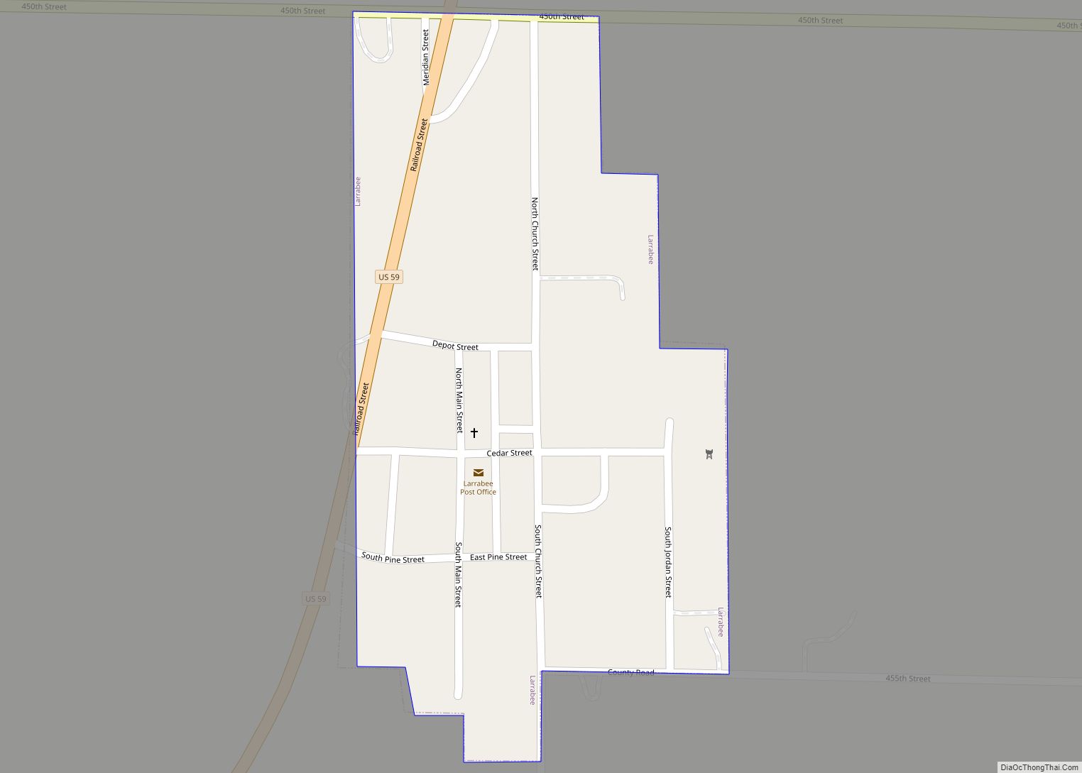
Larrabee is a city in Cherokee County, Iowa, United States. The population was 123 at the time of the 2020 census. Larrabee city overview: Name: Larrabee city LSAD Code: 25 LSAD Description: city (suffix) State: Iowa County: Cherokee County Elevation: 1,362 ft (415 m) Total Area: 0.13 sq mi (0.34 km²) Land Area: 0.13 sq mi (0.34 km²) Water Area: 0.00 sq mi (0.00 km²) Total ... Read more
Iowa Cities and Places
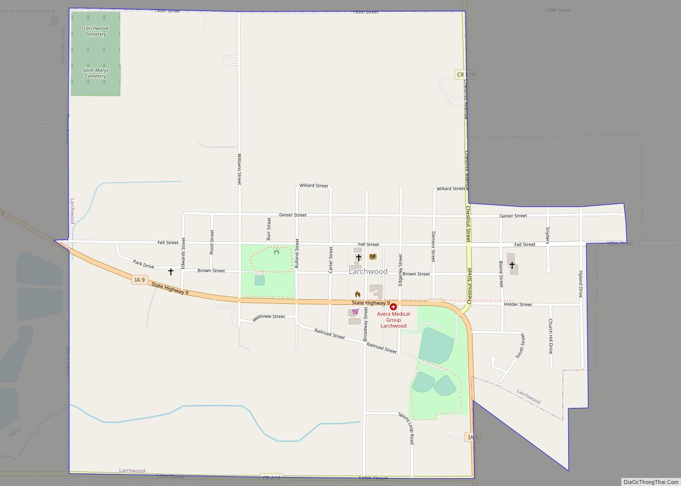
Larchwood is a city in Lyon County, Iowa, United States. The population was 926 at the time of the 2020 census. Larchwood city overview: Name: Larchwood city LSAD Code: 25 LSAD Description: city (suffix) State: Iowa County: Lyon County Elevation: 1,476 ft (450 m) Total Area: 1.04 sq mi (2.69 km²) Land Area: 1.04 sq mi (2.69 km²) Water Area: 0.00 sq mi (0.00 km²) Total ... Read more
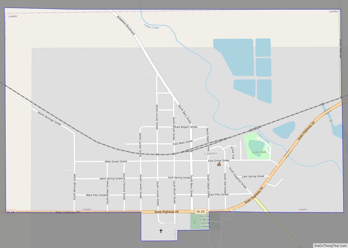
Lawler is a city in Chickasaw County, Iowa, United States. The population was 406 at the time of the 2020 census. Lawler city overview: Name: Lawler city LSAD Code: 25 LSAD Description: city (suffix) State: Iowa County: Chickasaw County Elevation: 1,083 ft (330 m) Total Area: 0.97 sq mi (2.50 km²) Land Area: 0.95 sq mi (2.47 km²) Water Area: 0.01 sq mi (0.03 km²) Total ... Read more
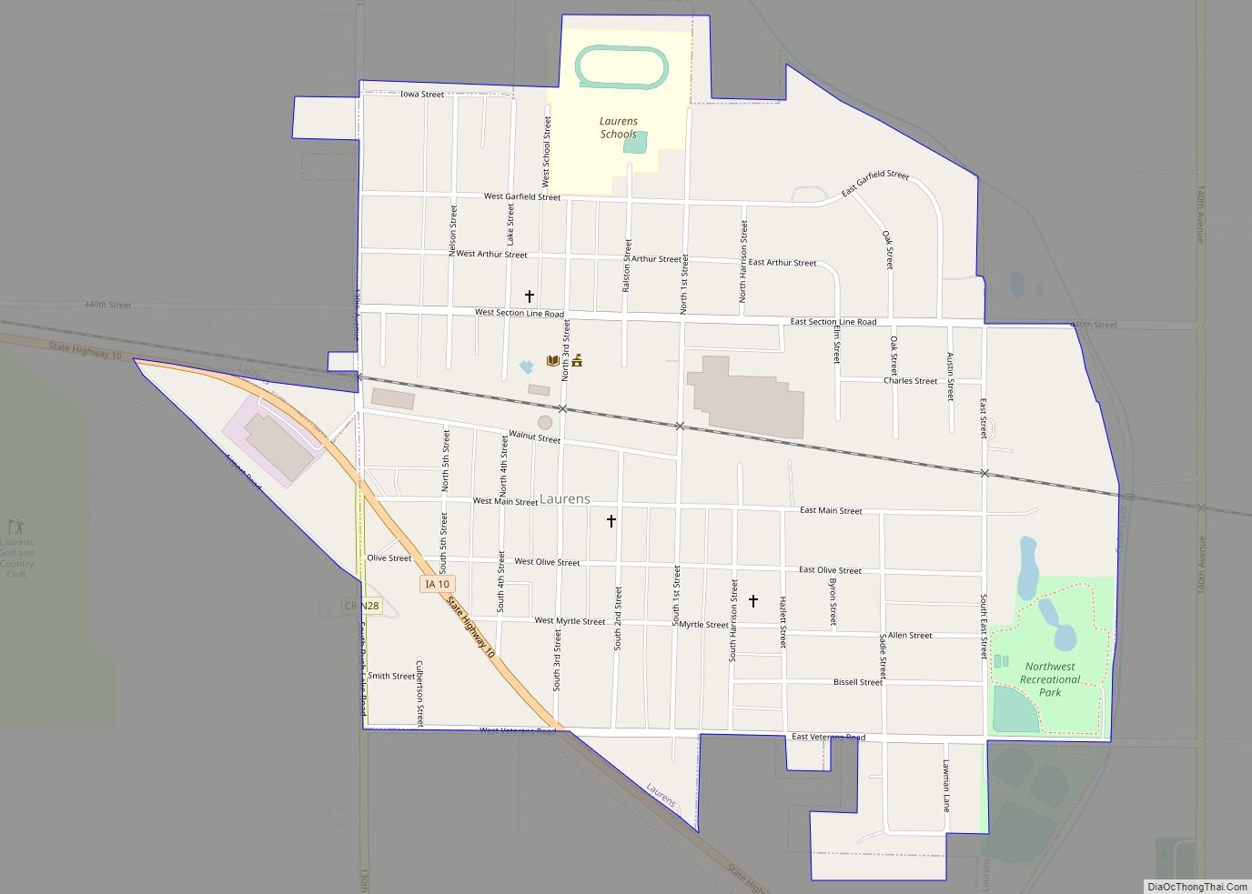
Laurens is a city in Pocahontas County, Iowa, United States. Its population was 1,264 at the 2020 census. Laurens city overview: Name: Laurens city LSAD Code: 25 LSAD Description: city (suffix) State: Iowa County: Pocahontas County Elevation: 1,309 ft (399 m) Total Area: 0.76 sq mi (1.96 km²) Land Area: 0.76 sq mi (1.96 km²) Water Area: 0.00 sq mi (0.00 km²) Total Population: 1,264 Population ... Read more
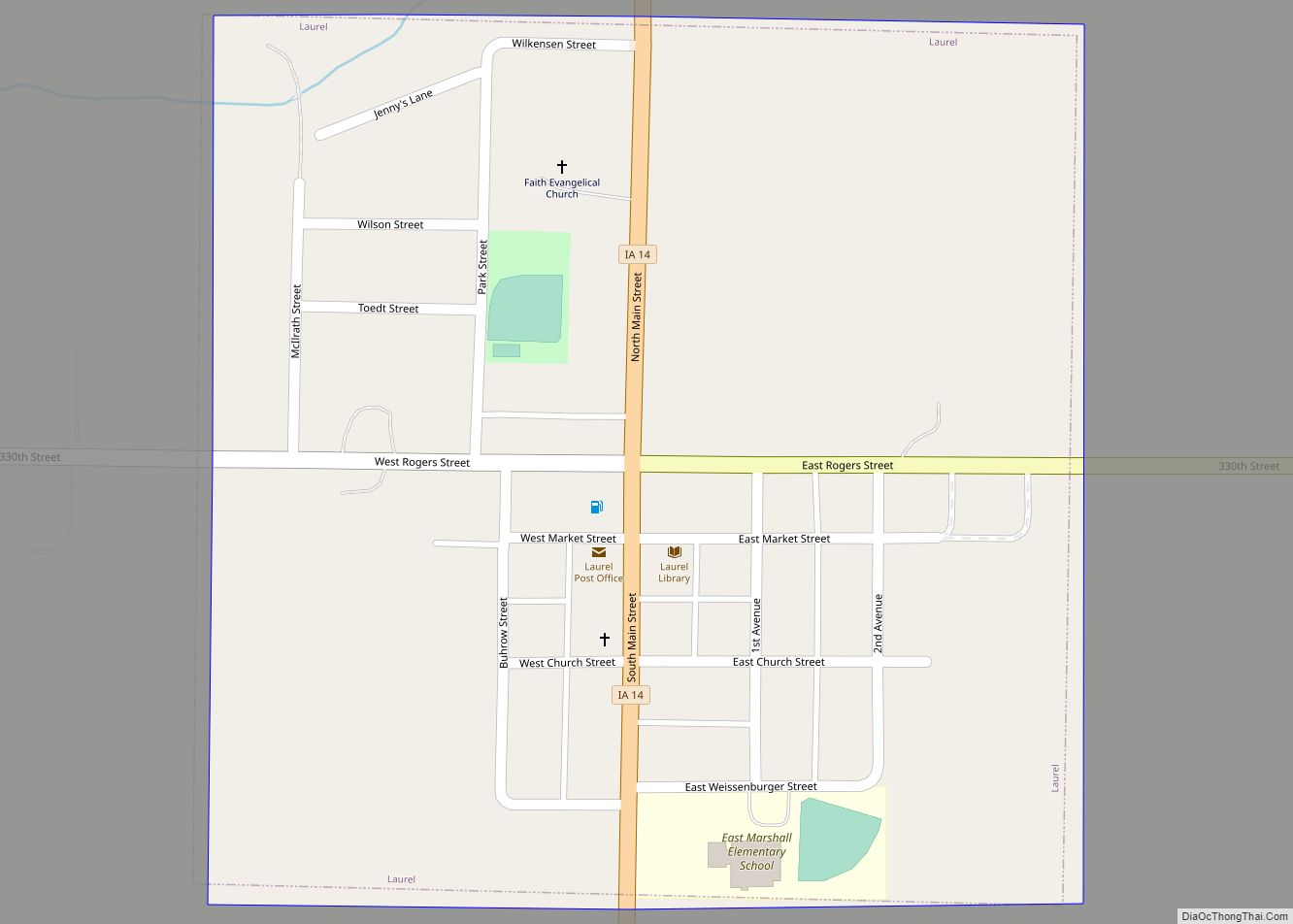
Laurel is a city in Marshall County, Iowa, United States. The population was 220 at the time of the 2020 census. Laurel city overview: Name: Laurel city LSAD Code: 25 LSAD Description: city (suffix) State: Iowa County: Marshall County Elevation: 1,043 ft (318 m) Total Area: 0.25 sq mi (0.64 km²) Land Area: 0.25 sq mi (0.64 km²) Water Area: 0.00 sq mi (0.00 km²) Total ... Read more
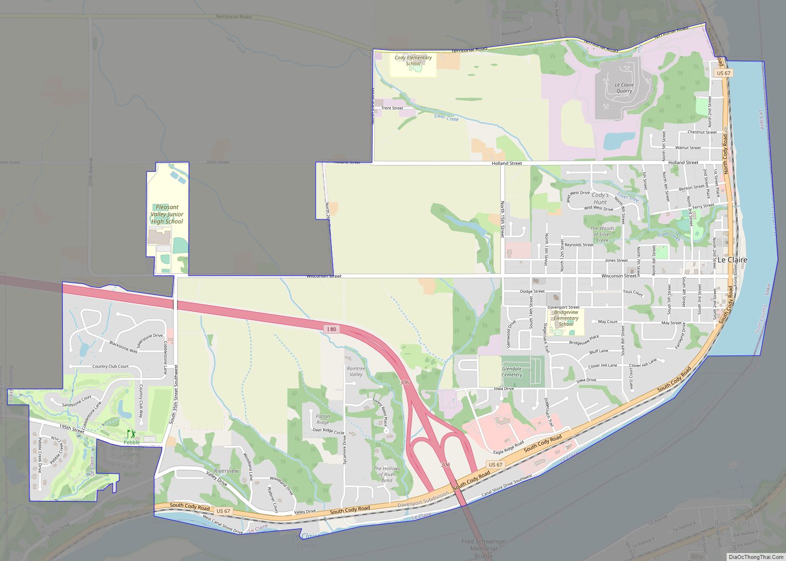
LeClaire is a city in Scott County, Iowa, United States. The population was 4,710 in 2020, a 65.4% increase from 2,847 in 2000, making it one of the fastest-growing communities in the Quad Cities. LeClaire is considered a suburb and part of the Quad Cities Metropolitan Area, which include the area of Davenport and Bettendorf, ... Read more
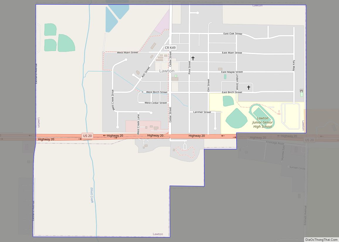
Lawton is a city in Woodbury County, Iowa, Iowa, United States. It is part of the Sioux City metropolitan area. The population was 943 at the time of the 2020 census. Lawton city overview: Name: Lawton city LSAD Code: 25 LSAD Description: city (suffix) State: Iowa County: Woodbury County Elevation: 1,184 ft (361 m) Total Area: 0.72 sq mi ... Read more
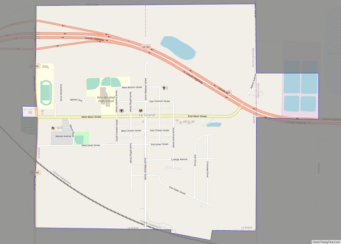
Le Grand, often written incorrectly as LeGrand (no space), is a city in Marshall and Tama counties in the U.S. state of Iowa. The population was 905 at the time of the 2020 census. Le Grand city overview: Name: Le Grand city LSAD Code: 25 LSAD Description: city (suffix) State: Iowa County: Marshall County, Tama ... Read more
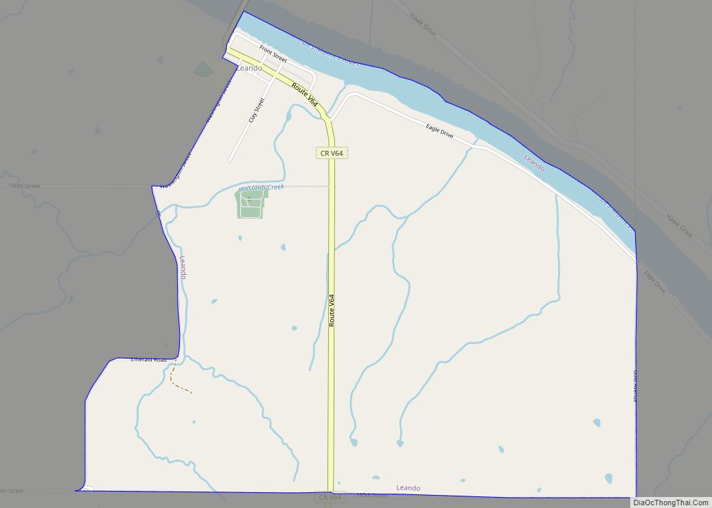
Leando is a census-designated place (CDP) in Van Buren County, Iowa, United States. The population was 135 at the 2000 census. Leando CDP overview: Name: Leando CDP LSAD Code: 57 LSAD Description: CDP (suffix) State: Iowa County: Van Buren County Elevation: 630 ft (192 m) Total Area: 2.33 sq mi (6.03 km²) Land Area: 2.21 sq mi (5.71 km²) Water Area: 0.12 sq mi (0.32 km²) ... Read more
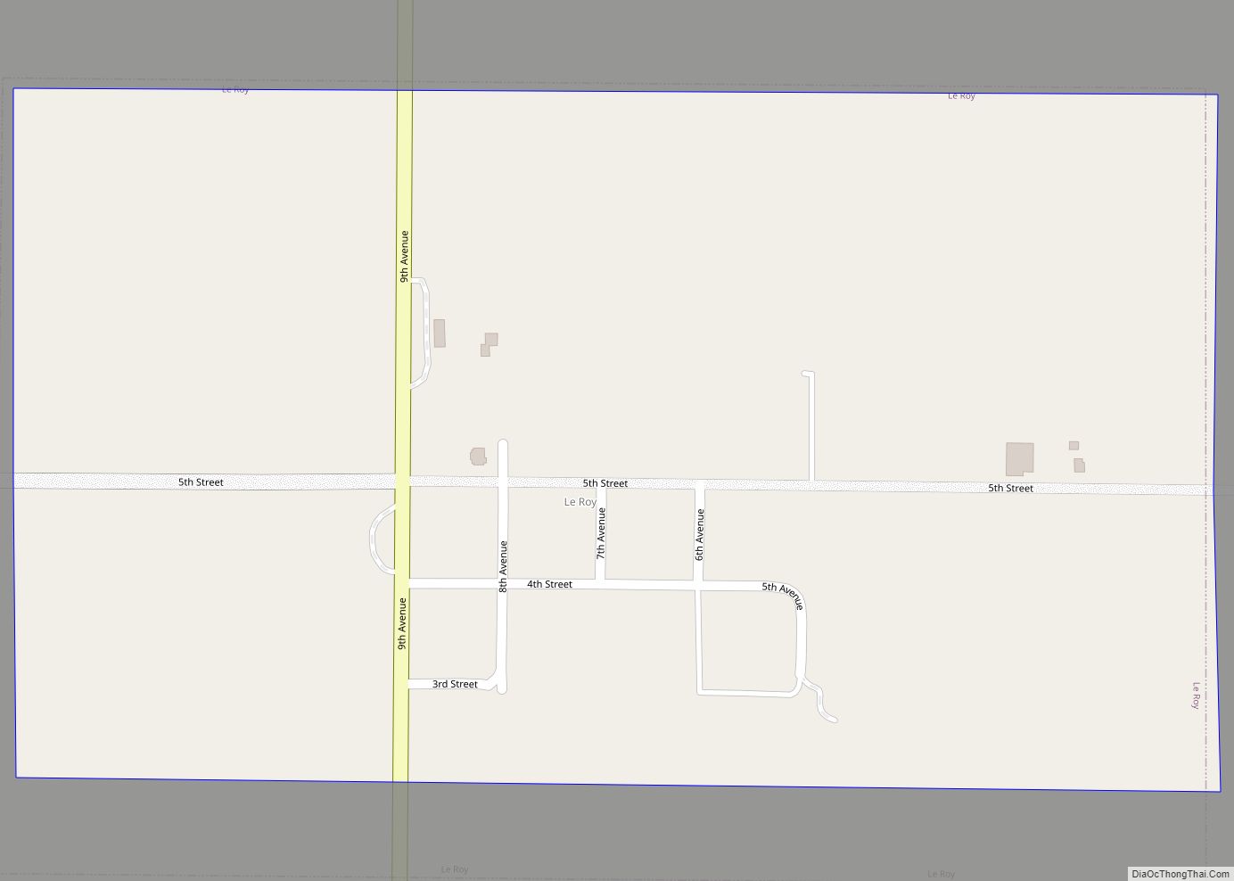
Le Roy is a city in Decatur County, Iowa, United States. The population was 11 in the 2020 census, a decrease from 13 in 2000. In the 2000 census, Le Roy had the distinction of being the second smallest populated incorporated city in Iowa. With the increase in the 2010 census of both Le Roy ... Read more
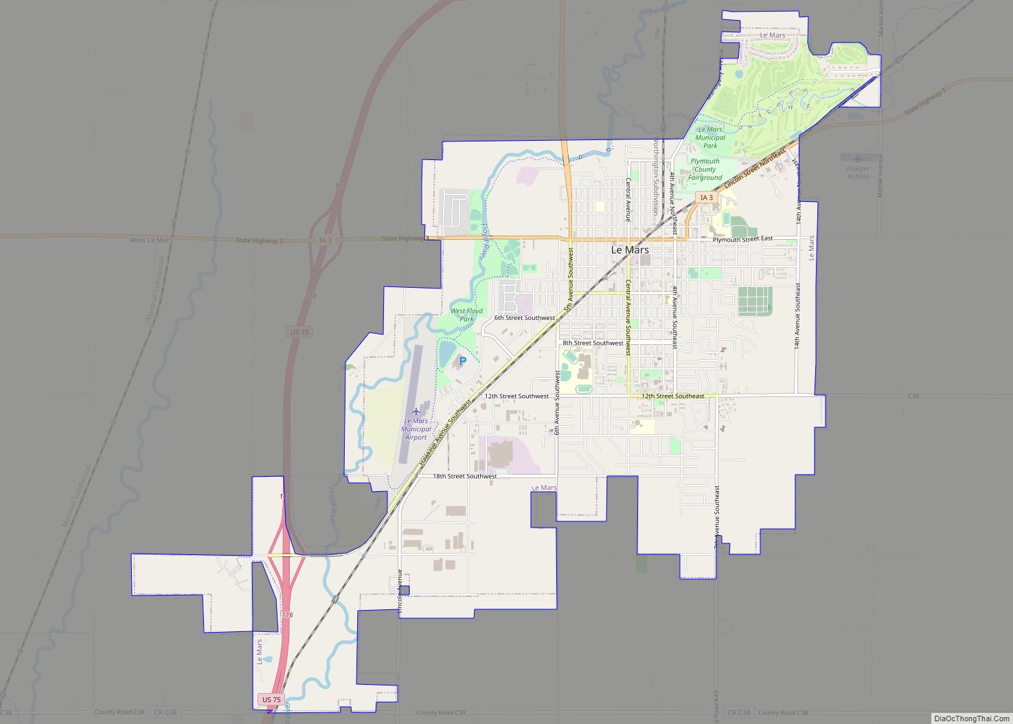
Le Mars /ləˈmɑːrz/ is the county seat of Plymouth County, Iowa, United States. It is located on the Floyd River northeast of Sioux City. The population was 10,571 at the time of the 2020 census. Le Mars is part of the Sioux City metropolitan area. Le Mars city overview: Name: Le Mars city LSAD Code: ... Read more
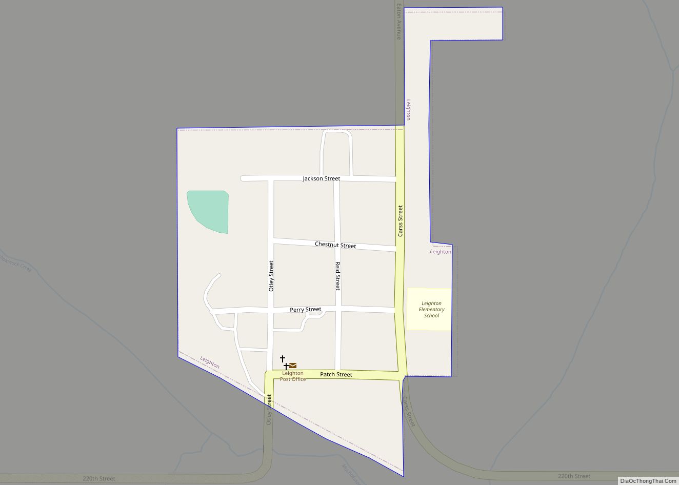
Leighton is a city in Mahaska County, Iowa, United States. The population was 158 in the 2020 census, an increase from 153 in the 2000 census. Leighton city overview: Name: Leighton city LSAD Code: 25 LSAD Description: city (suffix) State: Iowa County: Mahaska County Incorporated: September 21, 1909 Elevation: 774 ft (236 m) Total Area: 0.09 sq mi (0.24 km²) ... Read more
