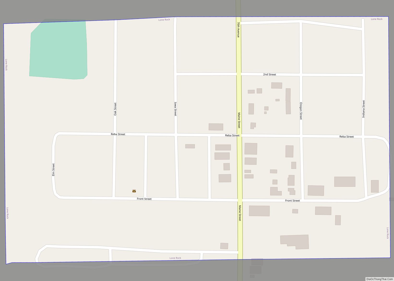
Lone Rock is a city in Kossuth County, Iowa, United States. The population was 146 at the time of the 2020 census. The city is named after a large boulder. Lone Rock calls itself “The Neatest Little Town in Iowa.” Lone Rock city overview: Name: Lone Rock city LSAD Code: 25 LSAD Description: city (suffix) ... Read more
Iowa Cities and Places
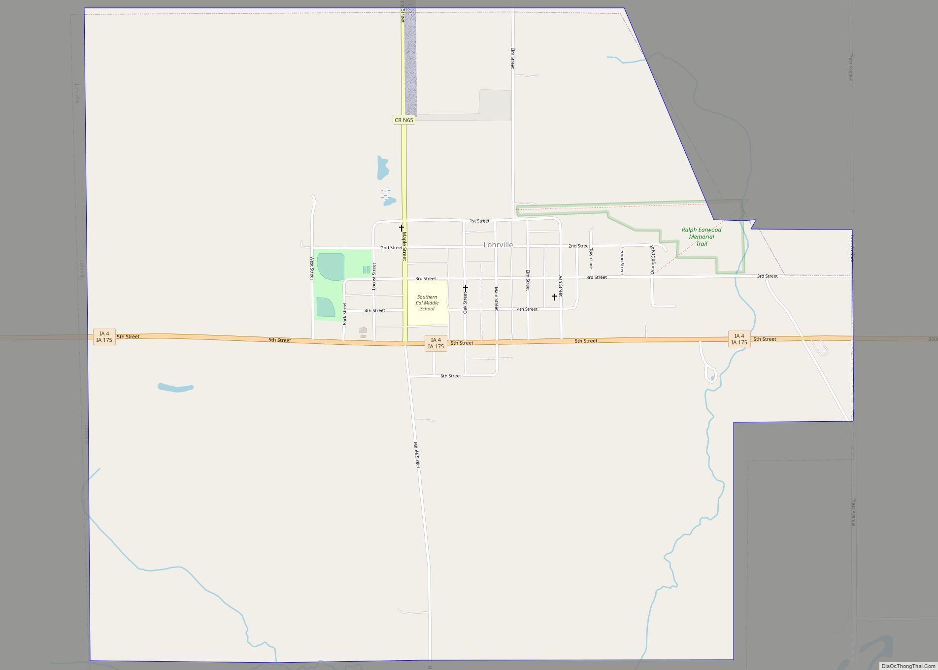
Lohrville is a city in Calhoun County, Iowa, United States. The population was 381 at the time of the 2020 census. In 2014 the Carroll Daily Times Herald stated that Lohrville had “embraced its status as a bedroom community” to nearby cities. Lohrville city overview: Name: Lohrville city LSAD Code: 25 LSAD Description: city (suffix) ... Read more
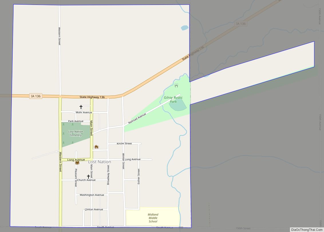
Lost Nation is a city in Clinton County, Iowa, United States. The population was 434 at the time of the 2020 census. Lost Nation city overview: Name: Lost Nation city LSAD Code: 25 LSAD Description: city (suffix) State: Iowa County: Clinton County Incorporated: July 9, 1903 Elevation: 755 ft (230 m) Total Area: 0.76 sq mi (1.96 km²) Land Area: ... Read more
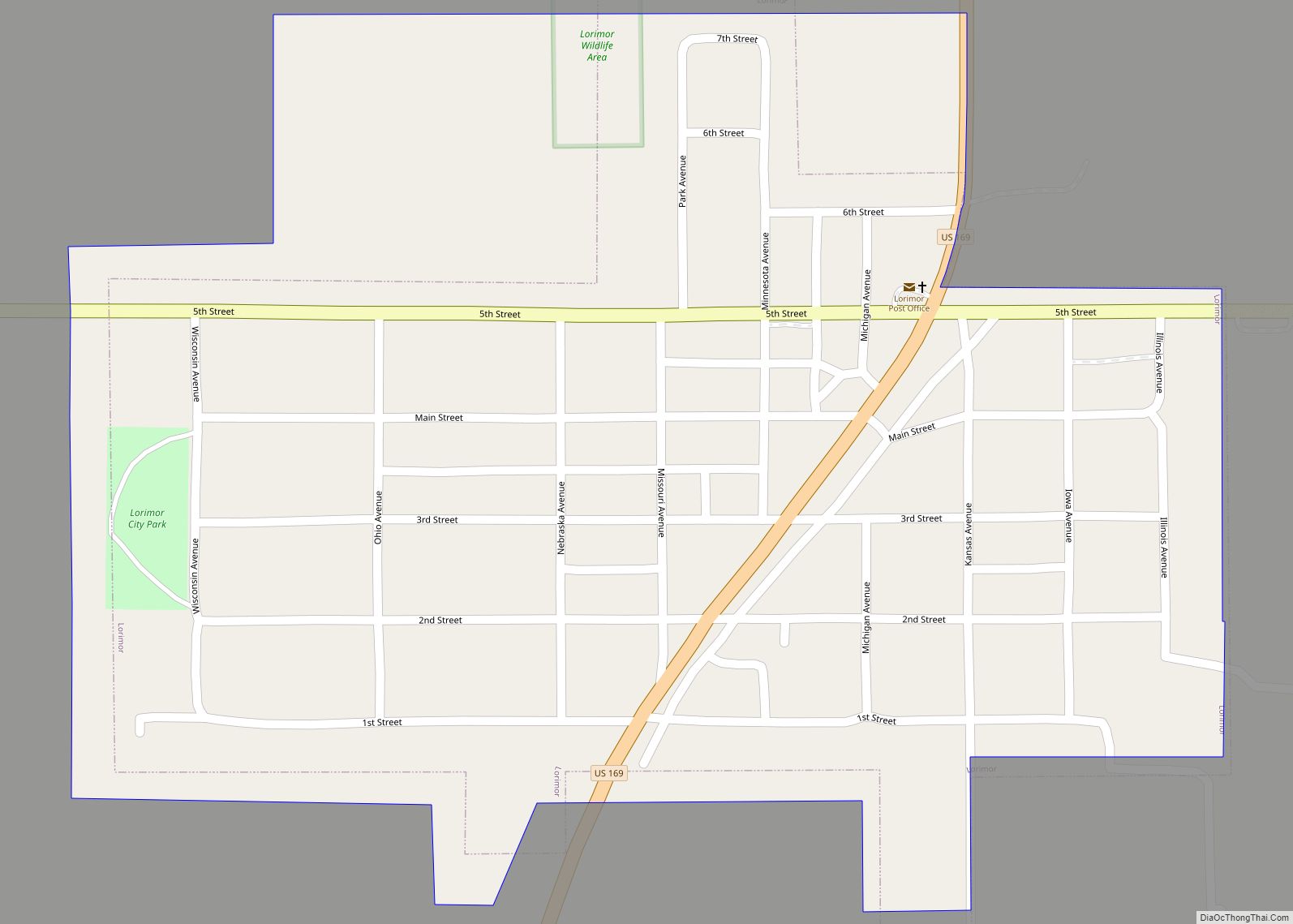
Lorimor is a town in Union County, Iowa, United States. The population was 386 at the time of the 2020 census. Lorimor city overview: Name: Lorimor city LSAD Code: 25 LSAD Description: city (suffix) State: Iowa County: Union County Elevation: 1,224 ft (373 m) Total Area: 0.43 sq mi (1.12 km²) Land Area: 0.43 sq mi (1.12 km²) Water Area: 0.00 sq mi (0.00 km²) Total ... Read more
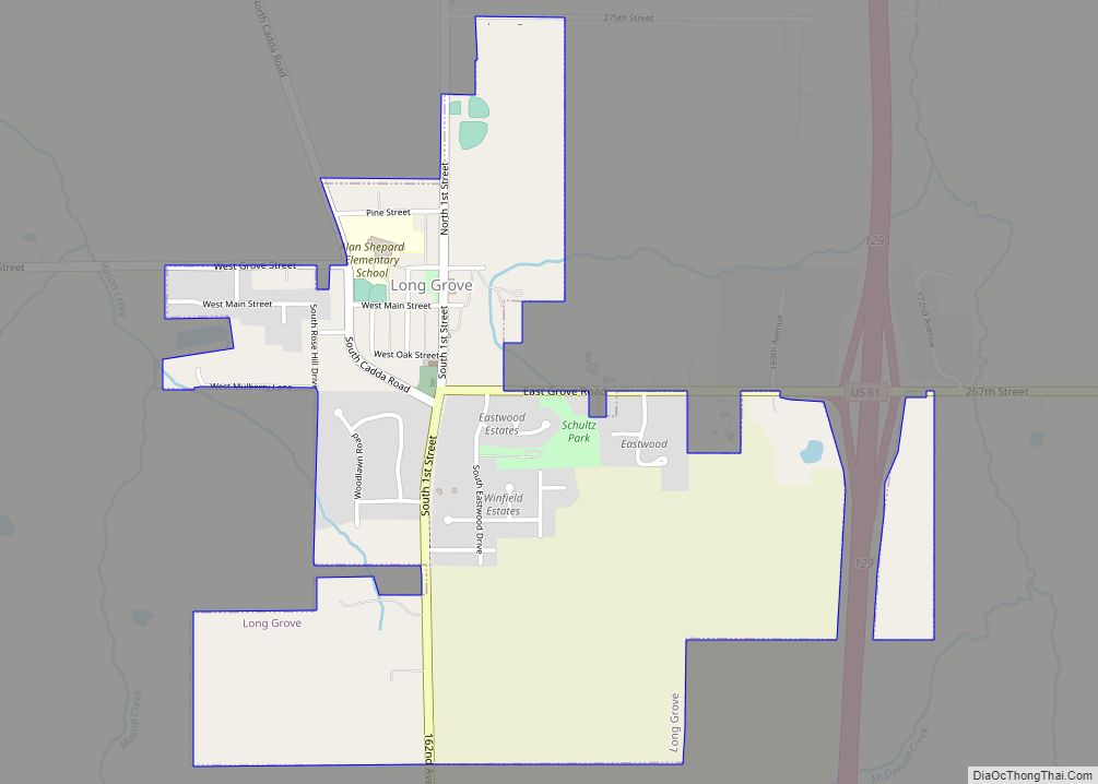
Long Grove is a city in Scott County, Iowa, United States. The population was 838 at the time of the 2020 census. Long Grove city overview: Name: Long Grove city LSAD Code: 25 LSAD Description: city (suffix) State: Iowa County: Scott County Elevation: 794 ft (242 m) Land Area: 1.15 sq mi (2.98 km²) Water Area: 0.00 sq mi (0.00 km²) Population Density: ... Read more
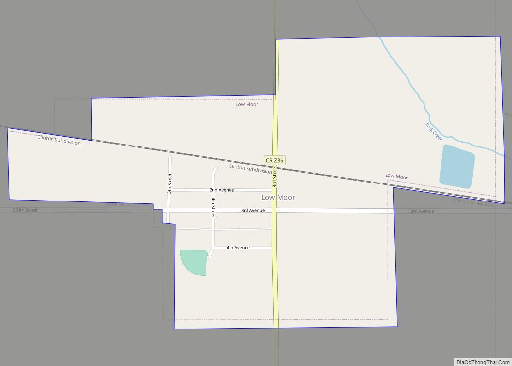
Low Moor is a city in Clinton County, Iowa, United States. The population was 250 at the time of the 2020 census. Low Moor city overview: Name: Low Moor city LSAD Code: 25 LSAD Description: city (suffix) State: Iowa County: Clinton County Elevation: 650 ft (198 m) Total Area: 0.55 sq mi (1.41 km²) Land Area: 0.55 sq mi (1.41 km²) Water Area: ... Read more
Lovilia is a city in Monroe County, Iowa, United States. The population was 472 at the time of the 2020 census. Lovilia city overview: Name: Lovilia city LSAD Code: 25 LSAD Description: city (suffix) State: Iowa County: Monroe County Elevation: 915 ft (279 m) Total Area: 0.52 sq mi (1.35 km²) Land Area: 0.52 sq mi (1.35 km²) Water Area: 0.00 sq mi (0.00 km²) Total ... Read more
Loveland is a census-designated place in Pottawattamie County, Iowa, United States. As of the 2010 Census, the population of Loveland was 35. Loveland CDP overview: Name: Loveland CDP LSAD Code: 57 LSAD Description: CDP (suffix) State: Iowa County: Pottawattamie County Elevation: 1,017 ft (310 m) Total Area: 0.04 sq mi (0.10 km²) Land Area: 0.04 sq mi (0.10 km²) Water Area: 0.00 sq mi (0.00 km²) ... Read more
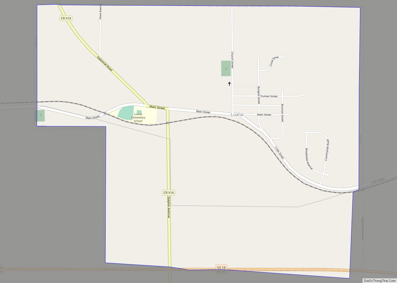
Luana is a city in Clayton County, Iowa, United States. The population was 301 at the time of the 2020 census, up from 249 in 2000. Luana is the site of a large cheese factory of Swiss Valley Farms, a cooperative owned by 625 dairy producers in four states. The facility was acquired by the ... Read more
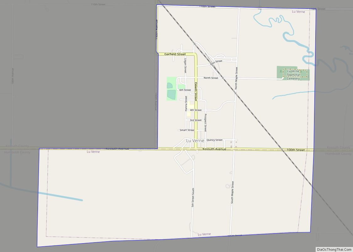
Lu Verne is a city in Humboldt and Kossuth counties in the U.S. state of Iowa. The population was 258 at the time of the 2020 census. Lu Verne city overview: Name: Lu Verne city LSAD Code: 25 LSAD Description: city (suffix) State: Iowa County: Humboldt County, Kossuth County Elevation: 1,145 ft (349 m) Total Area: 2.12 sq mi ... Read more
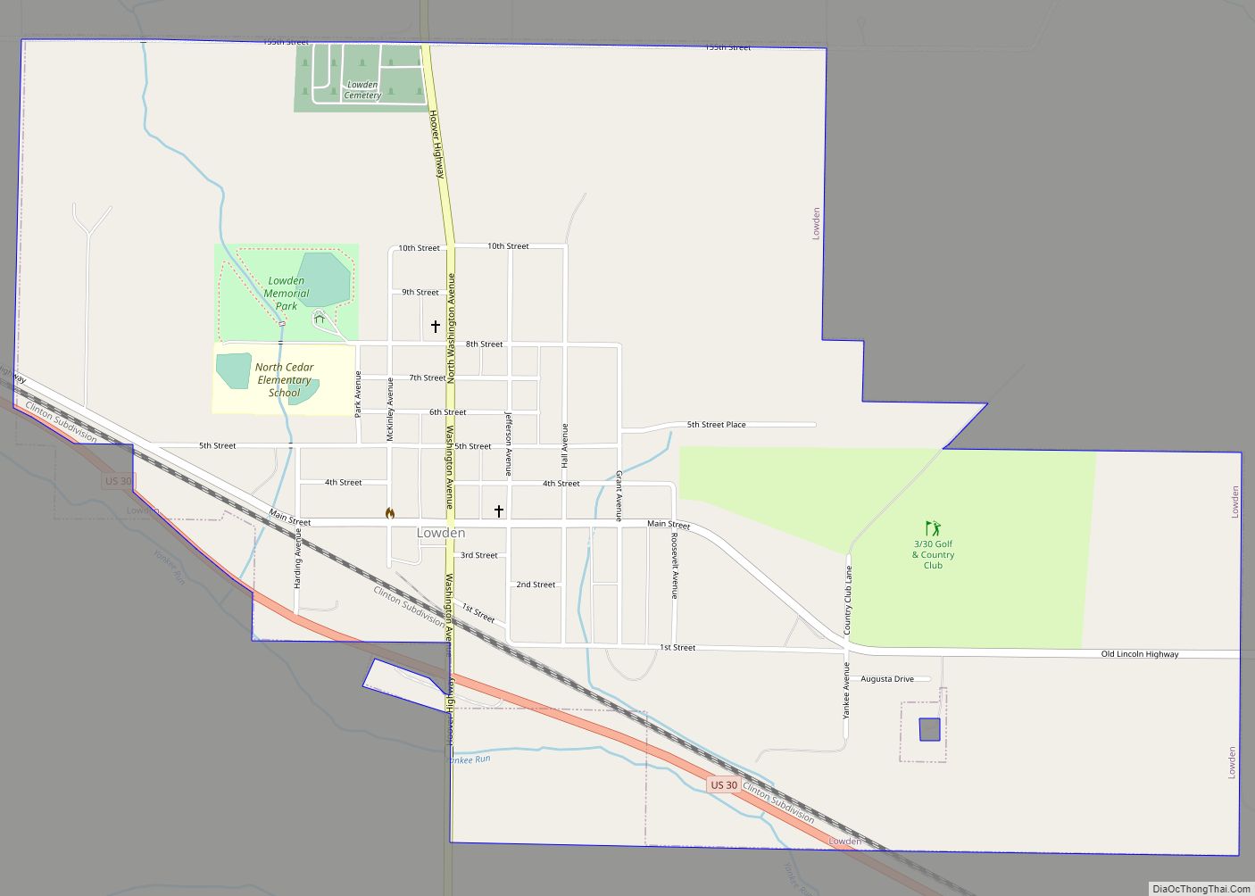
Lowden is a city in Cedar County, Iowa, United States. The population was 807 at the time of the 2020 census. Lowden city overview: Name: Lowden city LSAD Code: 25 LSAD Description: city (suffix) State: Iowa County: Cedar County Elevation: 728 ft (222 m) Total Area: 1.07 sq mi (2.78 km²) Land Area: 1.07 sq mi (2.78 km²) Water Area: 0.00 sq mi (0.00 km²) Total ... Read more
Luther is a city in Worth Township, Boone County, Iowa, United States. The population was 152 at the time of the 2020 census. It is part of the Boone, Iowa Micropolitan Statistical Area, which is a part of the larger Ames-Boone, Iowa Combined Statistical Area. Luther city overview: Name: Luther city LSAD Code: 25 LSAD ... Read more
