Lucas is a city in Lucas County, Iowa, United States. The population was 172 at the time of the 2020 census. Lucas city overview: Name: Lucas city LSAD Code: 25 LSAD Description: city (suffix) State: Iowa County: Lucas County Elevation: 892 ft (272 m) Total Area: 0.99 sq mi (2.57 km²) Land Area: 0.98 sq mi (2.54 km²) Water Area: 0.01 sq mi (0.02 km²) Total ... Read more
Iowa Cities and Places
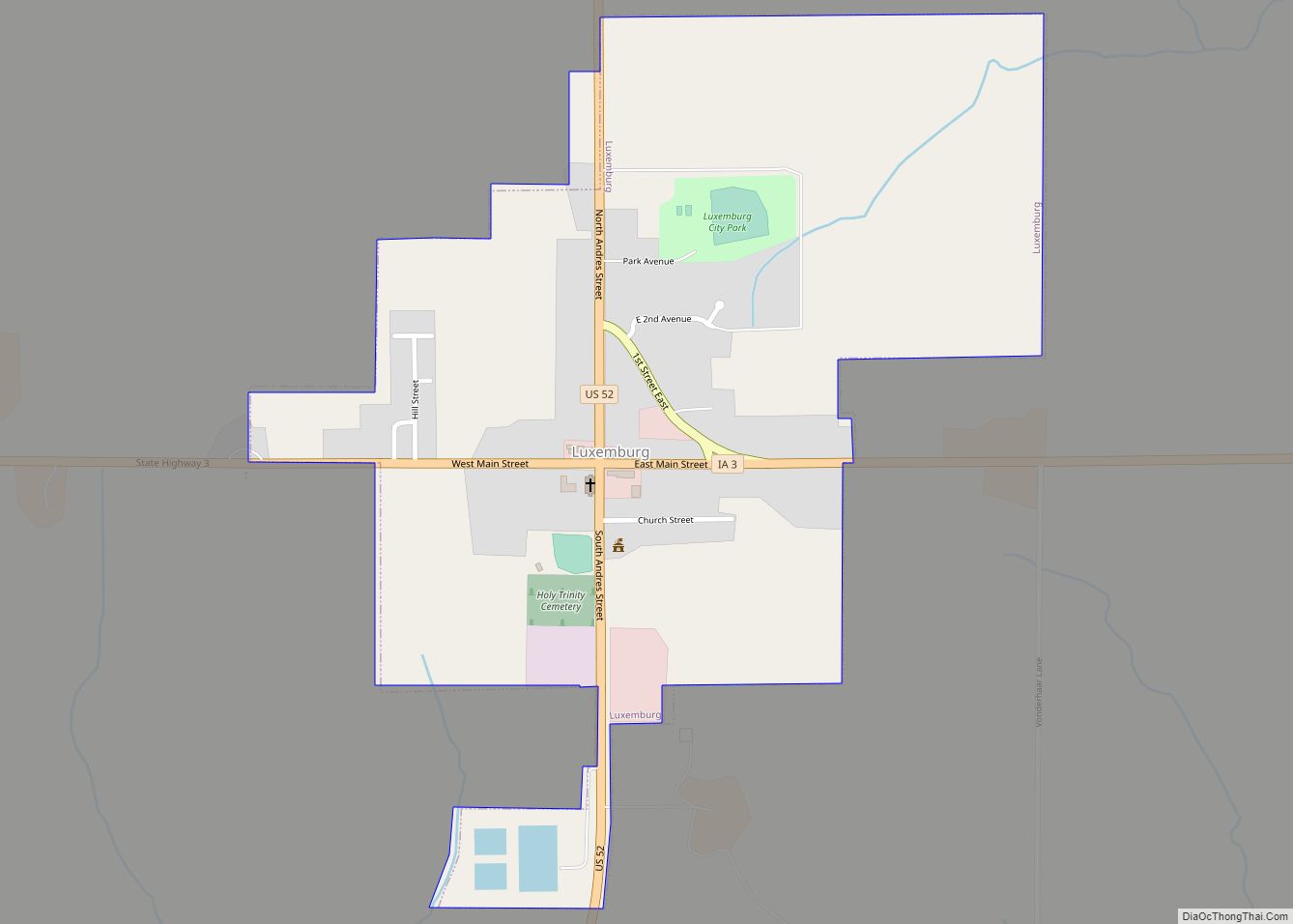
Luxemburg is a city in Dubuque County, Iowa, United States. It is part of the Dubuque, Iowa Metropolitan Statistical Area. The population was 245 at the time of the 2020 census, down from 246 in 2000. The White Pine Hollow State Forest is located four miles to the northwest of Luxemburg. Luxemburg city overview: Name: ... Read more
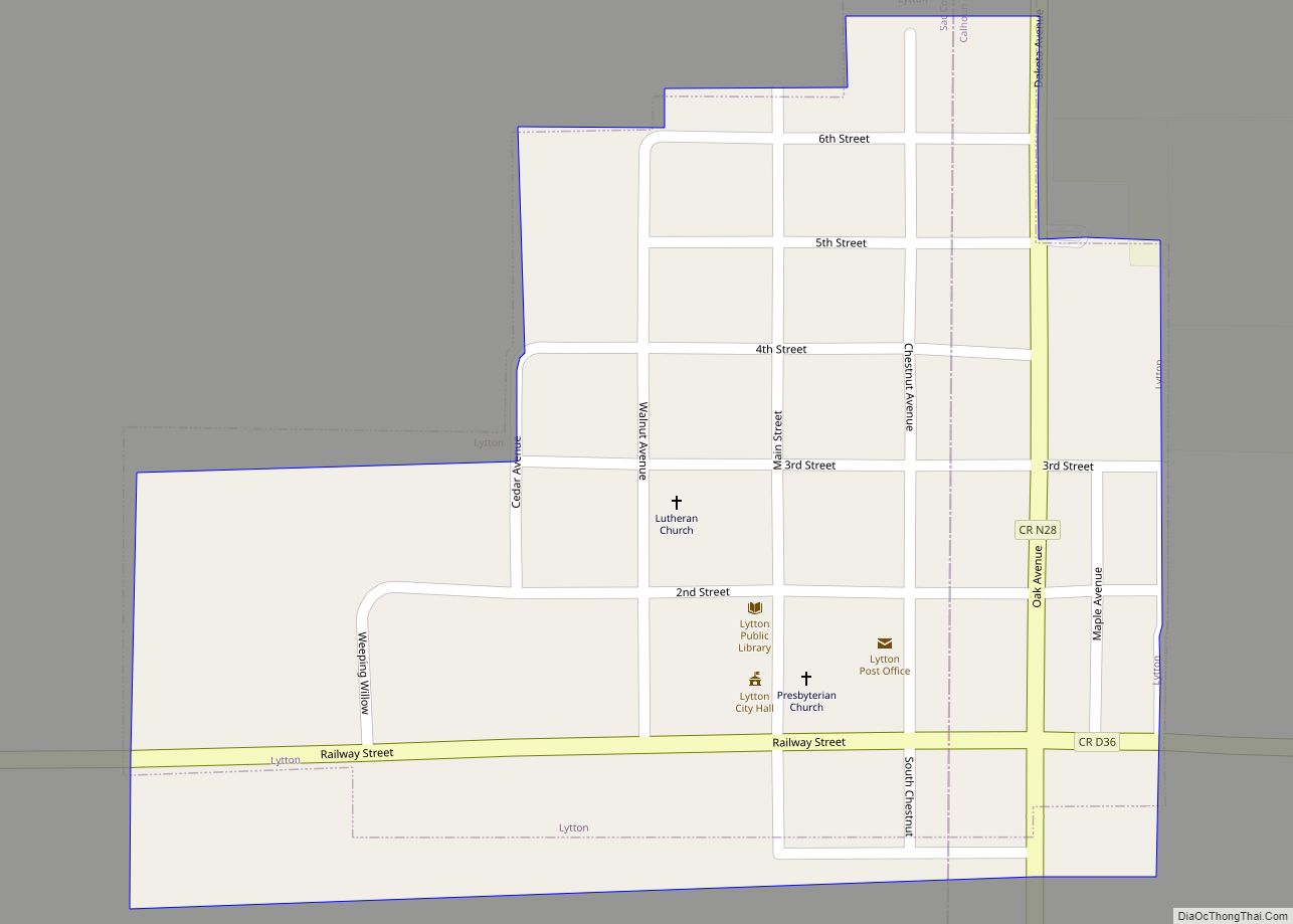
Lytton is a city in Sac County and has grown into Calhoun County in the U.S. state of Iowa. The population was 282 at the time of the 2020 census. Lytton city overview: Name: Lytton city LSAD Code: 25 LSAD Description: city (suffix) State: Iowa County: Calhoun County, Sac County Elevation: 1,227 ft (374 m) Total Area: ... Read more
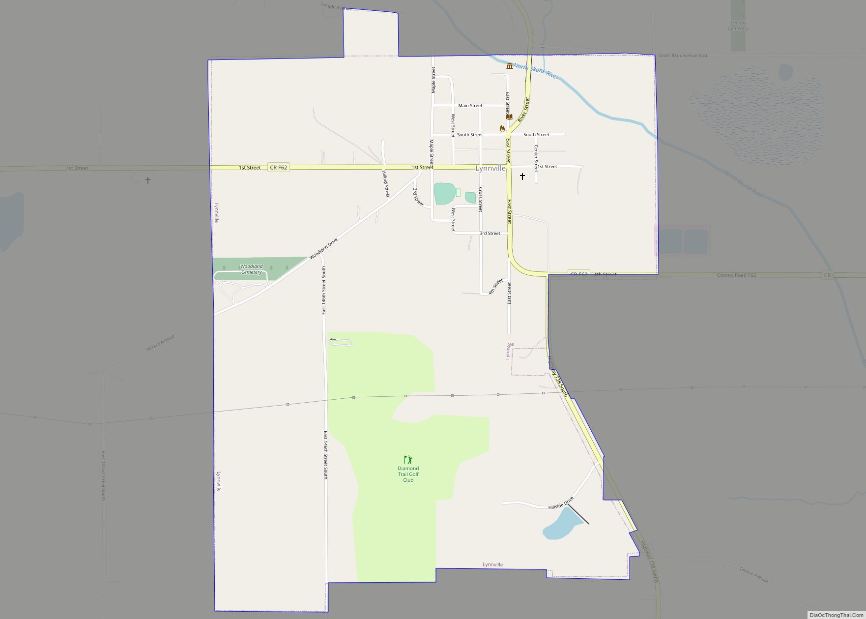
Lynnville is a city in Jasper County, Iowa, United States. The population was 380 at the time of the 2020 census. Lynnville city overview: Name: Lynnville city LSAD Code: 25 LSAD Description: city (suffix) State: Iowa County: Jasper County Elevation: 830 ft (253 m) Total Area: 1.10 sq mi (2.85 km²) Land Area: 1.10 sq mi (2.85 km²) Water Area: 0.00 sq mi (0.00 km²) Total ... Read more
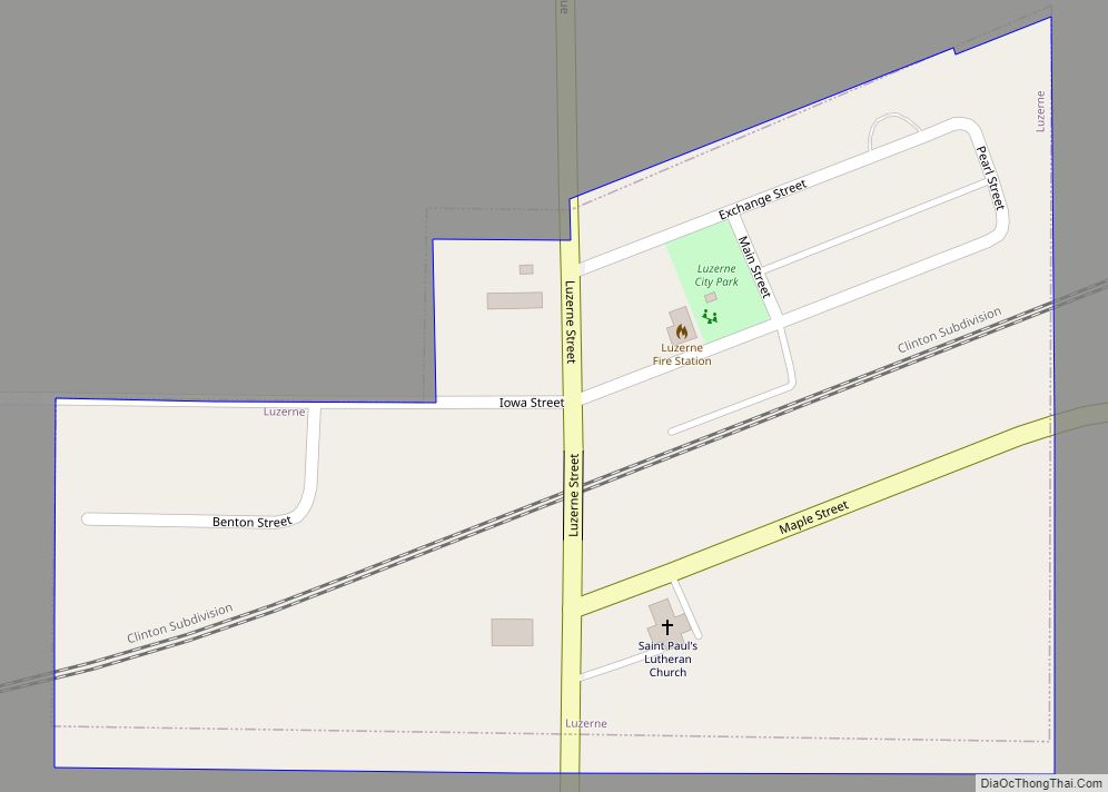
Luzerne is a city in Benton County, Iowa, United States. The population was 112 at the time of the 2020 census. It is part of the Cedar Rapids Metropolitan Statistical Area. Luzerne city overview: Name: Luzerne city LSAD Code: 25 LSAD Description: city (suffix) State: Iowa County: Benton County Elevation: 938 ft (286 m) Total Area: 0.13 sq mi ... Read more
Madrid /ˈmædrɪd/ is a city in Douglas Township, Boone County, Iowa, United States. The population was 2,802 at the time of the 2020 census. It is part of the Boone, Iowa Micropolitan Statistical Area, which is a part of the larger Ames-Boone, Iowa Combined Statistical Area. Madrid city overview: Name: Madrid city LSAD Code: 25 ... Read more
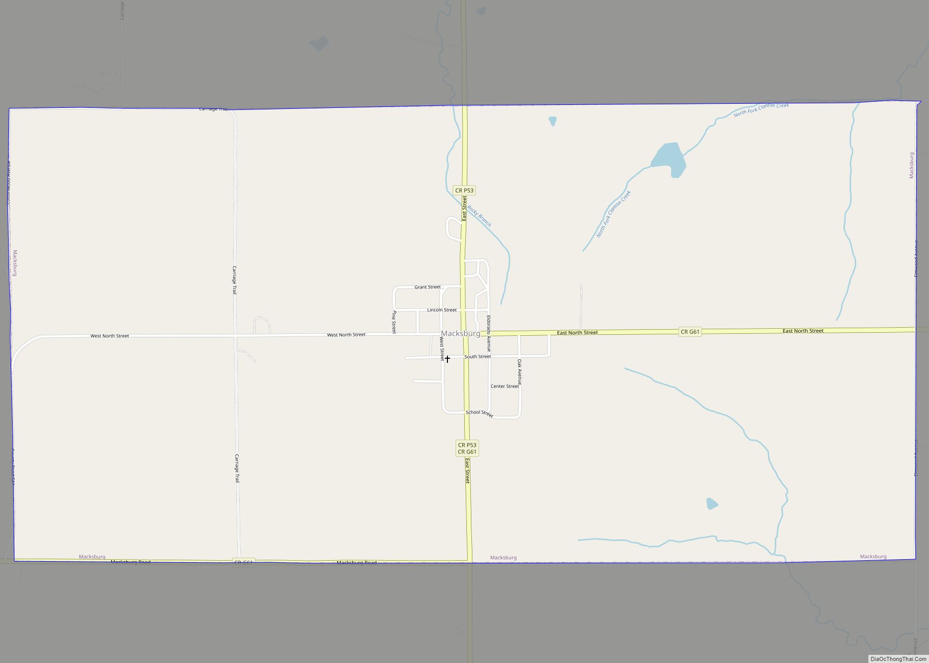
Macksburg is a city in Madison County, Iowa, United States. The population was 97 at the time of the 2020 census. It is part of the Des Moines–West Des Moines Metropolitan Statistical Area. Macksburg city overview: Name: Macksburg city LSAD Code: 25 LSAD Description: city (suffix) State: Iowa County: Madison County Elevation: 1,247 ft (380 m) Total ... Read more
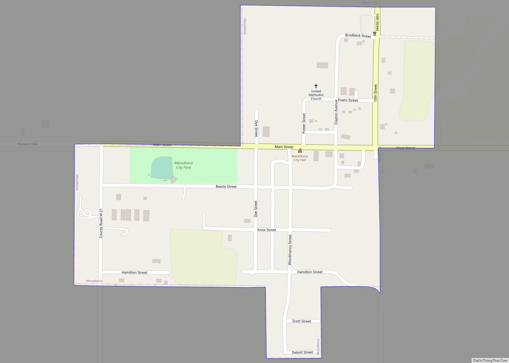
Macedonia is a city in Pottawattamie County, Iowa, United States. The population was 267 at the time of the 2020 census. Macedonia city overview: Name: Macedonia city LSAD Code: 25 LSAD Description: city (suffix) State: Iowa County: Pottawattamie County Elevation: 1,115 ft (340 m) Total Area: 0.24 sq mi (0.61 km²) Land Area: 0.24 sq mi (0.61 km²) Water Area: 0.00 sq mi (0.00 km²) Total ... Read more
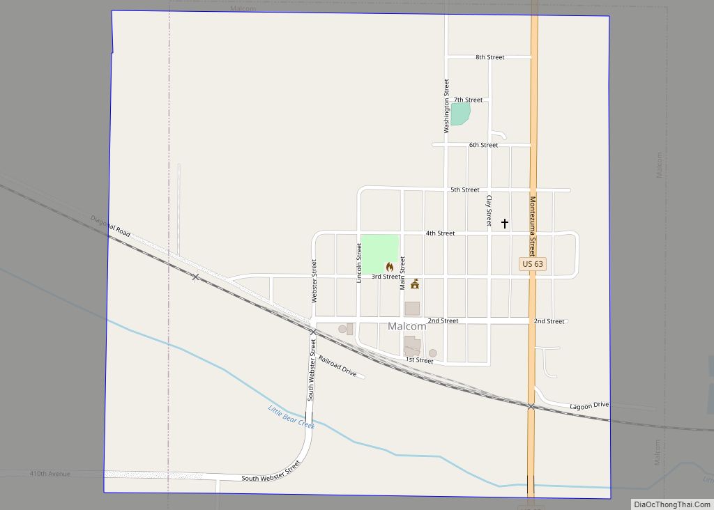
Malcom is a city in Poweshiek County, Iowa, United States. The population was 270 at the time of the 2020 census. The city was named for an early settler. The town’s major businesses include BASF, a restaurant, and Dayton Meat Products. Malcom city overview: Name: Malcom city LSAD Code: 25 LSAD Description: city (suffix) State: ... Read more
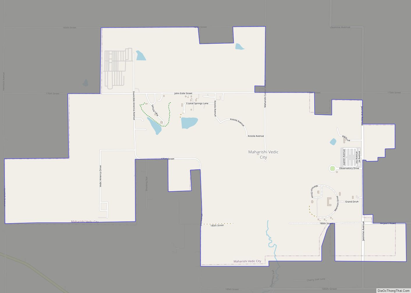
Maharishi Vedic City (MVC) is a city in Jefferson County, Iowa, United States. The population was 277 at the time of the 2020 census. The city was incorporated in 2001 as “Vedic City” but then officially changed its name to “Maharishi Vedic City” five months later. It was the first city to incorporate in Iowa ... Read more
Magnolia is a city in Harrison County, Iowa, United States. The population was 190 at the time of the 2020 census. Magnolia city overview: Name: Magnolia city LSAD Code: 25 LSAD Description: city (suffix) State: Iowa County: Harrison County Elevation: 1,339 ft (408 m) Total Area: 0.61 sq mi (1.58 km²) Land Area: 0.61 sq mi (1.58 km²) Water Area: 0.00 sq mi (0.00 km²) Total ... Read more
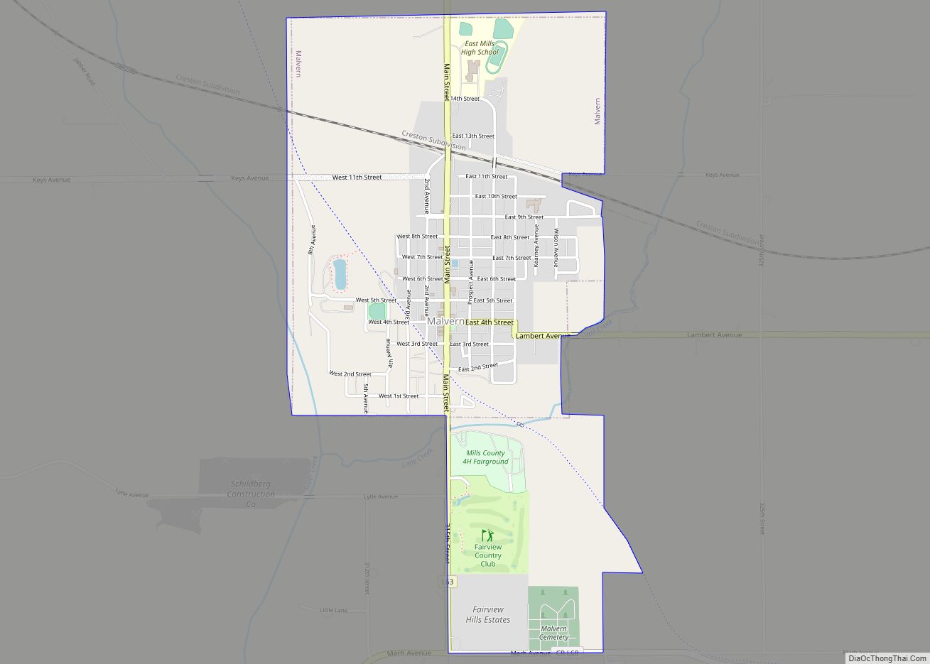
Malvern is a city in Mills County, Iowa, United States. The population was 1,046 at the time of the 2020 census. The Wabash Trace—a railroad converted to a bicycle trail—passes through Malvern. The Mills County Fair is held here, although Glenwood is the county seat. Malvern is the largest town in the eastern half of ... Read more

