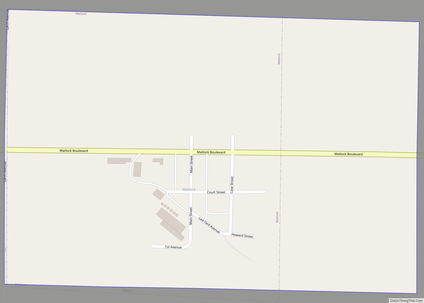
Matlock is a city in Sioux County, Iowa, United States. The population was 74 at the time of the 2020 census. Matlock city overview: Name: Matlock city LSAD Code: 25 LSAD Description: city (suffix) State: Iowa County: Sioux County Elevation: 1,401 ft (427 m) Total Area: 0.38 sq mi (0.98 km²) Land Area: 0.38 sq mi (0.98 km²) Water Area: 0.00 sq mi (0.00 km²) Total ... Read more
Iowa Cities and Places
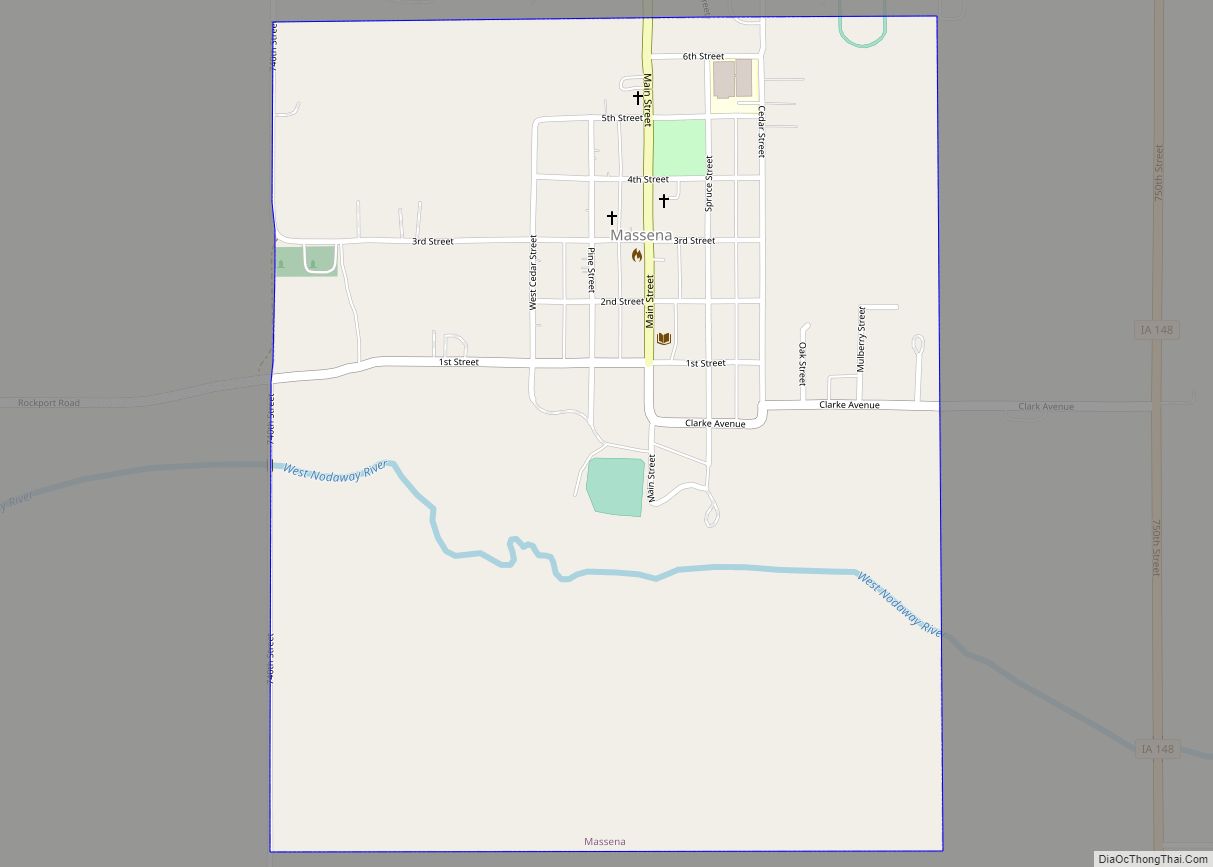
Massena is a city in Cass County, Iowa, United States. The population was 359 at the time of the 2020 census. Massena’s motto is: “The Home of Friendly People”. Massena’s sister community is Cumberland, Iowa. Massena is named after Massena, New York. Massena city overview: Name: Massena city LSAD Code: 25 LSAD Description: city (suffix) ... Read more
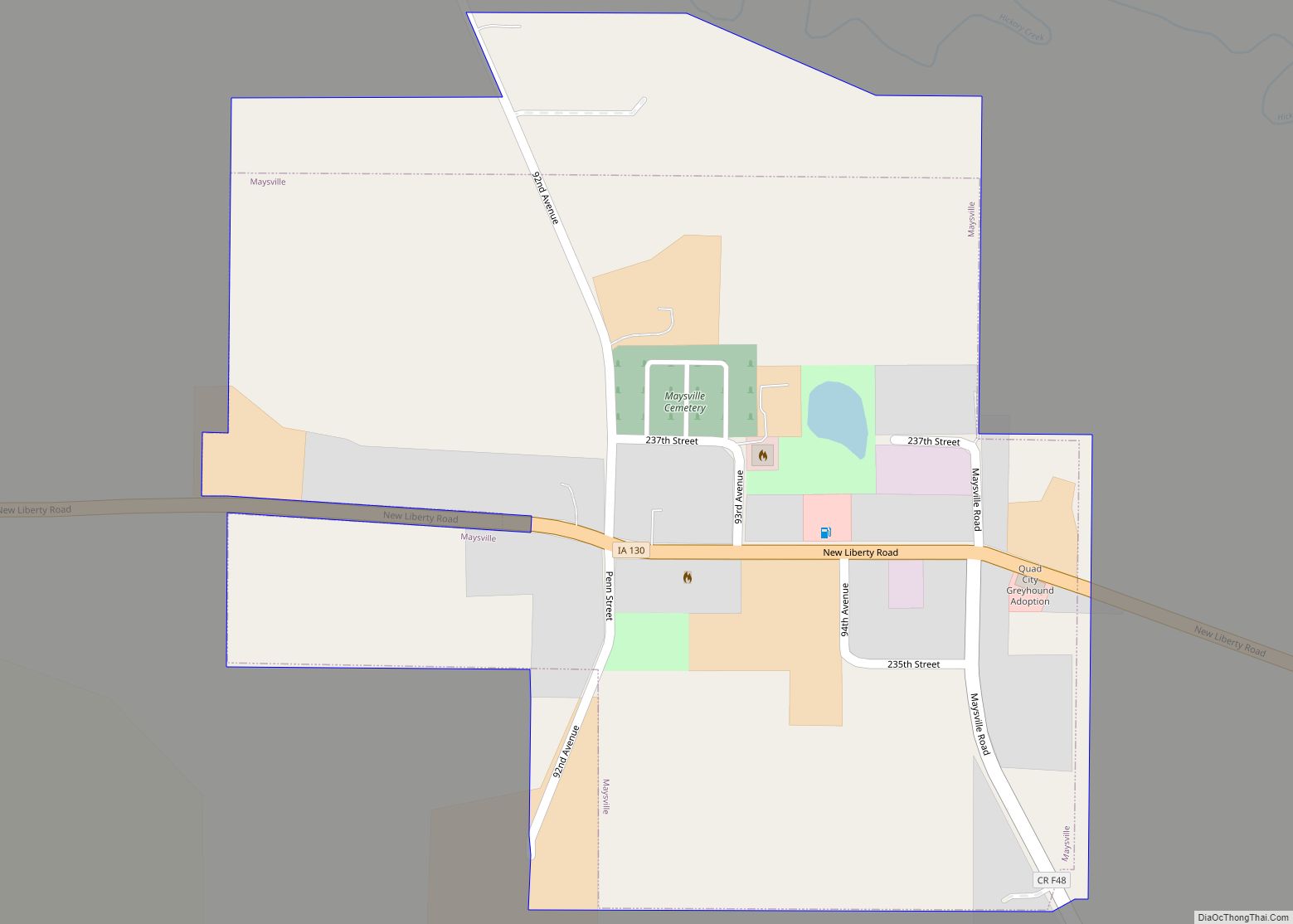
Maysville is a city in Scott County, Iowa, United States. The population was 156 at the time of the 2020 census. Maysville city overview: Name: Maysville city LSAD Code: 25 LSAD Description: city (suffix) State: Iowa County: Scott County Elevation: 738 ft (225 m) Land Area: 0.27 sq mi (0.71 km²) Water Area: 0.00 sq mi (0.00 km²) Population Density: 569.34/sq mi (220.21/km²) ZIP ... Read more
Maynard is a city in Fayette County, Iowa, United States. The population was 476 at the time of the 2020 census. Maynard city overview: Name: Maynard city LSAD Code: 25 LSAD Description: city (suffix) State: Iowa County: Fayette County Elevation: 1,106 ft (337 m) Total Area: 0.99 sq mi (2.58 km²) Land Area: 0.97 sq mi (2.51 km²) Water Area: 0.03 sq mi (0.07 km²) Total ... Read more
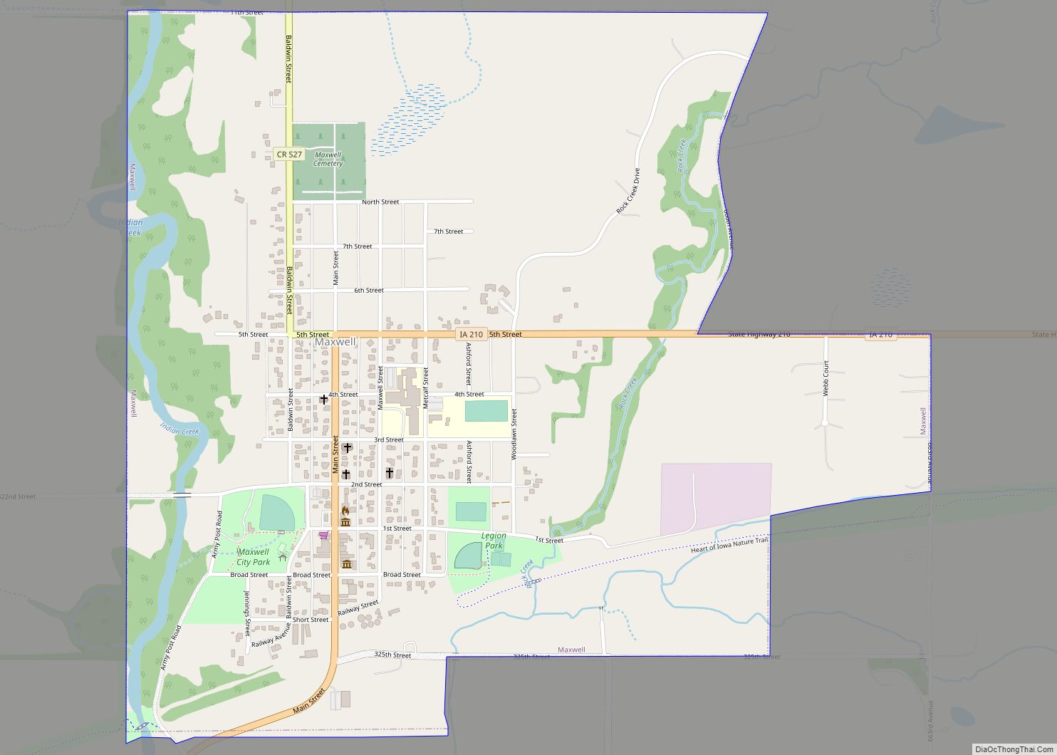
Maxwell is a city in Story County, Iowa, United States. The population was 859 at the time of the 2020 census. It is part of the Ames, Iowa Metropolitan Statistical Area, which is a part of the larger Ames-Boone, Iowa Combined Statistical Area. Maxwell city overview: Name: Maxwell city LSAD Code: 25 LSAD Description: city ... Read more
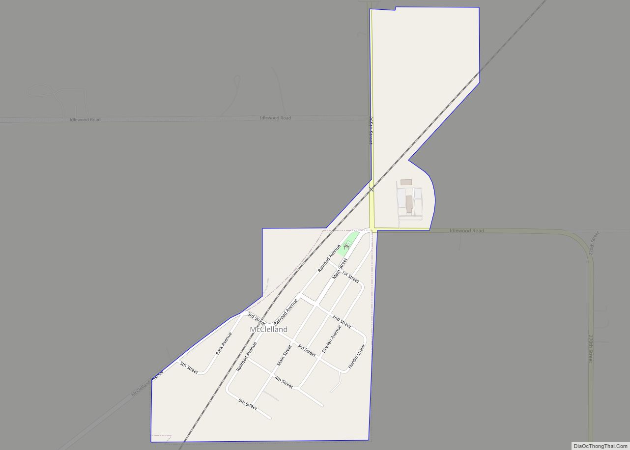
McClelland is a city in Pottawattamie County, Iowa, United States. The city was founded in 1903 after the Great Western Railroad was extended to include Council Bluffs, IA. The population was 146 at the time of the 2020 census. McClelland city overview: Name: McClelland city LSAD Code: 25 LSAD Description: city (suffix) State: Iowa County: ... Read more
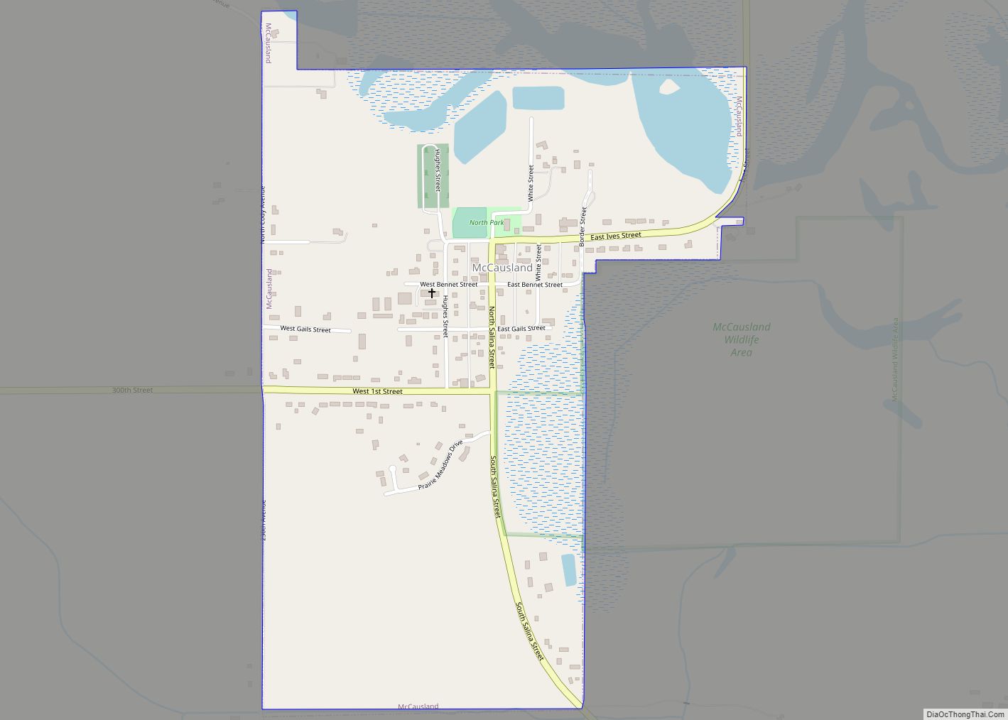
McCausland is a city in Butler Township, Scott County, Iowa, United States. The population was 313 at the time of the 2020 census. The city was founded in 1882 by D.C. McCausland, a landowner and horse trader. McCausland city overview: Name: McCausland city LSAD Code: 25 LSAD Description: city (suffix) State: Iowa County: Scott County ... Read more
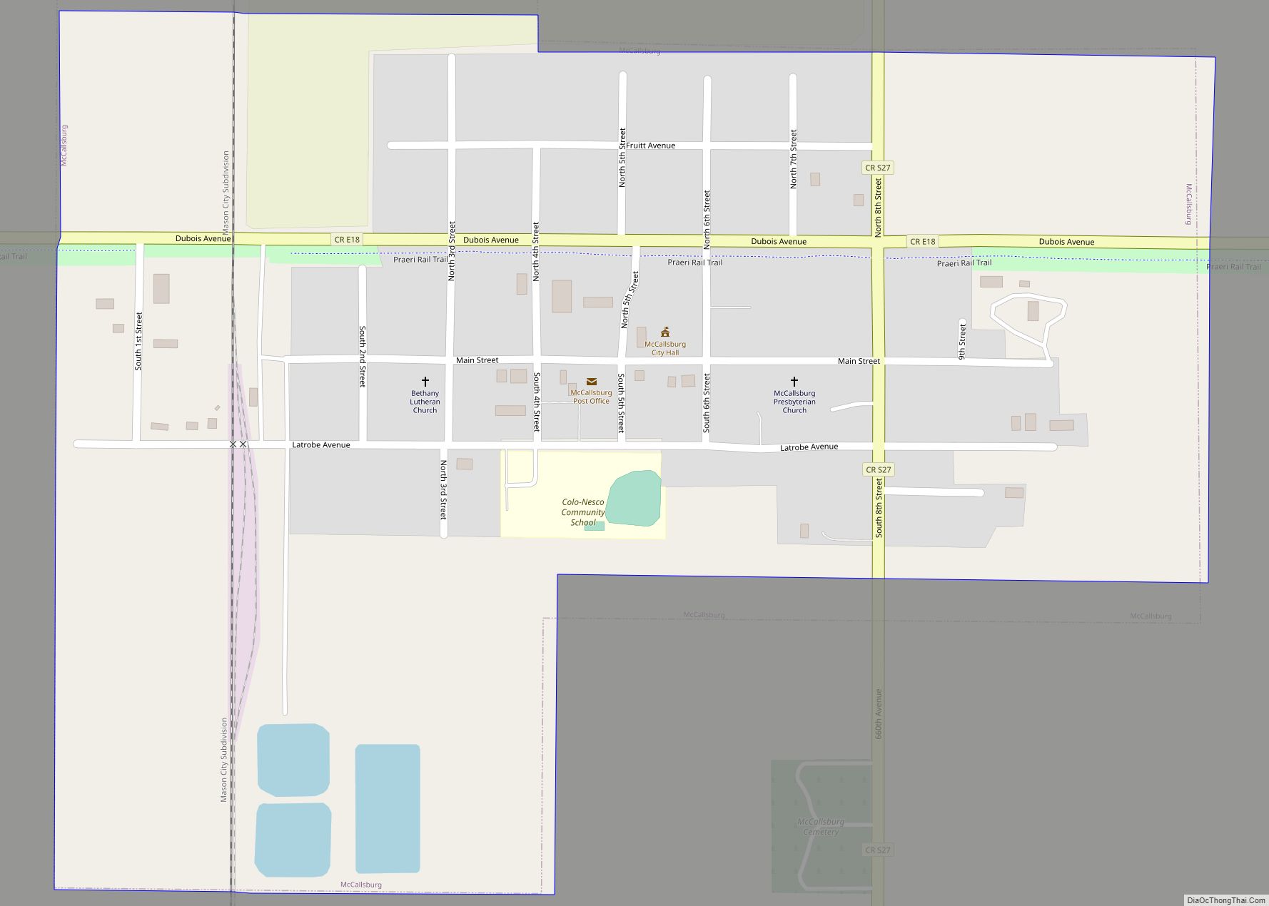
McCallsburg is a city in Story County, Iowa, United States. The population was 353 at the time of the 2020 census. It is part of the Ames, Iowa Metropolitan Statistical Area, which is a part of the larger Ames-Boone, Iowa Combined Statistical Area. McCallsburg city overview: Name: McCallsburg city LSAD Code: 25 LSAD Description: city ... Read more
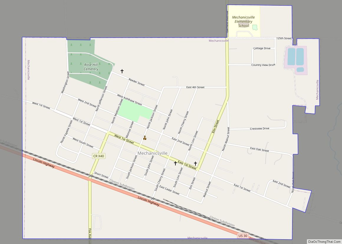
Mechanicsville is a city in Cedar County, Iowa, United States. The population was 1,020 at the time of the 2020 census. Mechanicsville city overview: Name: Mechanicsville city LSAD Code: 25 LSAD Description: city (suffix) State: Iowa County: Cedar County Elevation: 922 ft (281 m) Total Area: 0.83 sq mi (2.14 km²) Land Area: 0.82 sq mi (2.14 km²) Water Area: 0.00 sq mi (0.01 km²) Total ... Read more
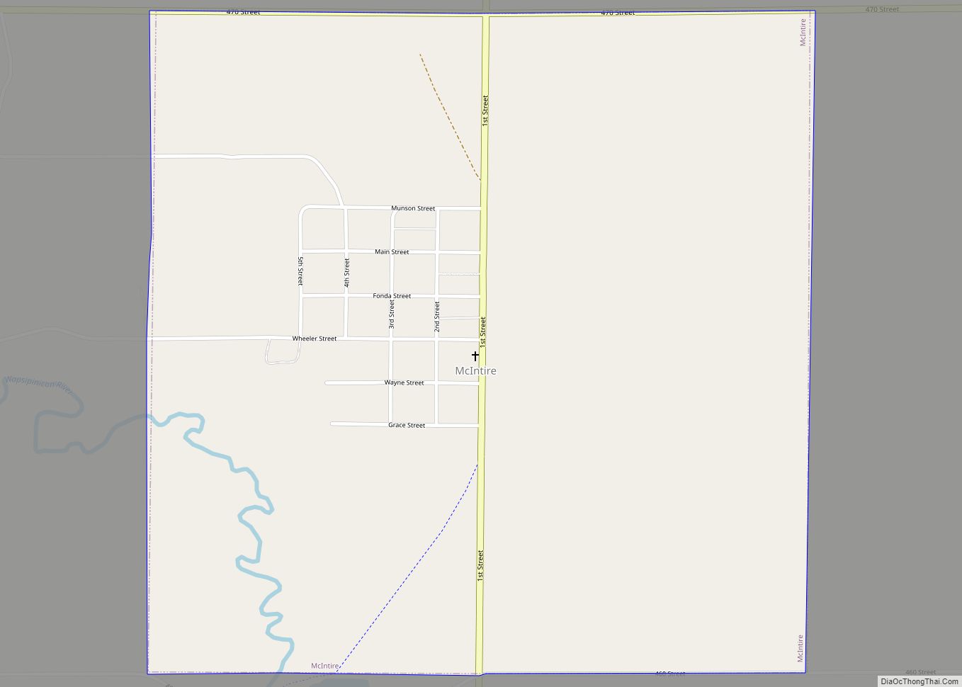
McIntire is a city in Mitchell County, Iowa, United States. The population was 113 at the time of the 2020 census. McIntire city overview: Name: McIntire city LSAD Code: 25 LSAD Description: city (suffix) State: Iowa County: Mitchell County Elevation: 1,273 ft (388 m) Total Area: 1.01 sq mi (2.61 km²) Land Area: 1.01 sq mi (2.61 km²) Water Area: 0.00 sq mi (0.00 km²) Total ... Read more
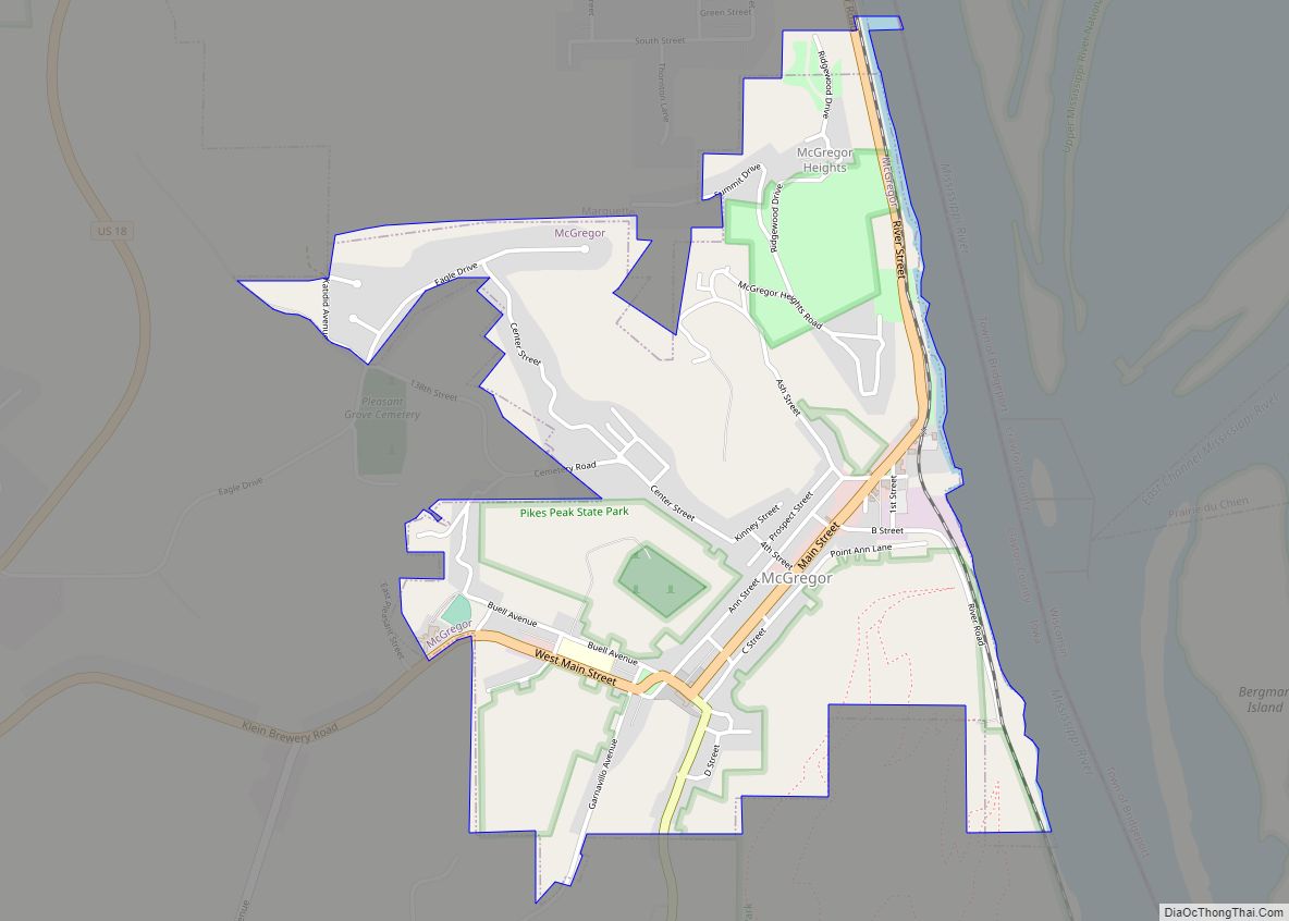
McGregor is a city in Clayton County, Iowa, United States. The population was 742 at the time of the 2020 census. McGregor is located on the Mississippi River across from Prairie du Chien, Wisconsin. Pike’s Peak State Park is located just south of the city. Just to the north of McGregor is the city of ... Read more
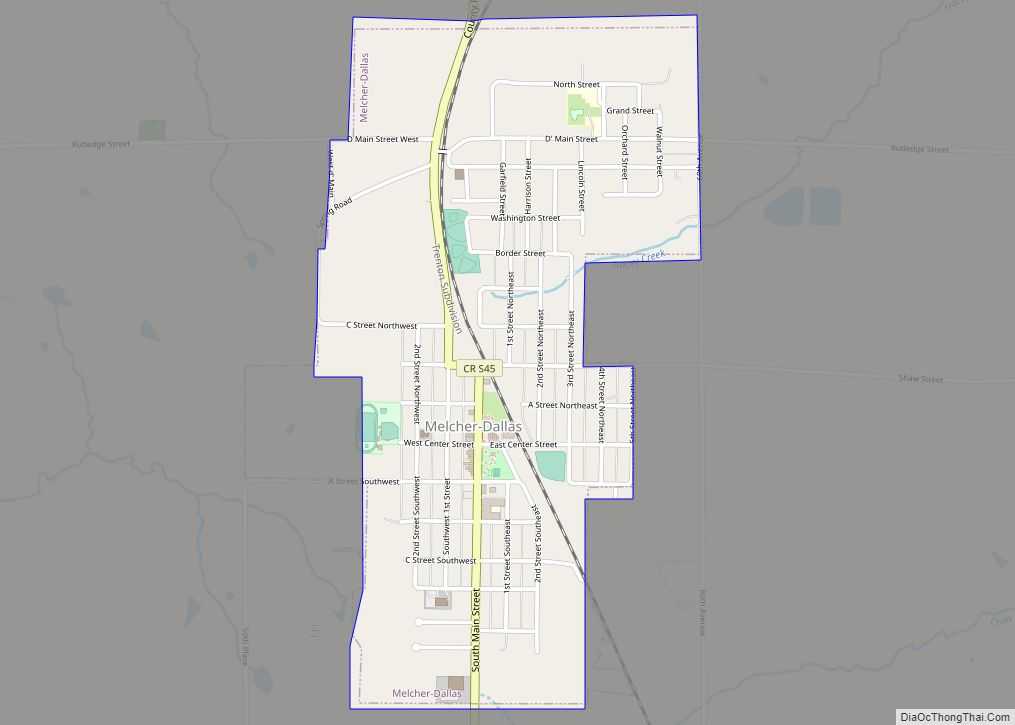
Melcher-Dallas is a city in Marion County, Iowa, United States. The population was 1,195 at the time of the 2020 census. Melcher-Dallas city overview: Name: Melcher-Dallas city LSAD Code: 25 LSAD Description: city (suffix) State: Iowa County: Marion County Elevation: 948 ft (289 m) Total Area: 1.04 sq mi (2.69 km²) Land Area: 1.04 sq mi (2.69 km²) Water Area: 0.00 sq mi (0.00 km²) Total ... Read more
