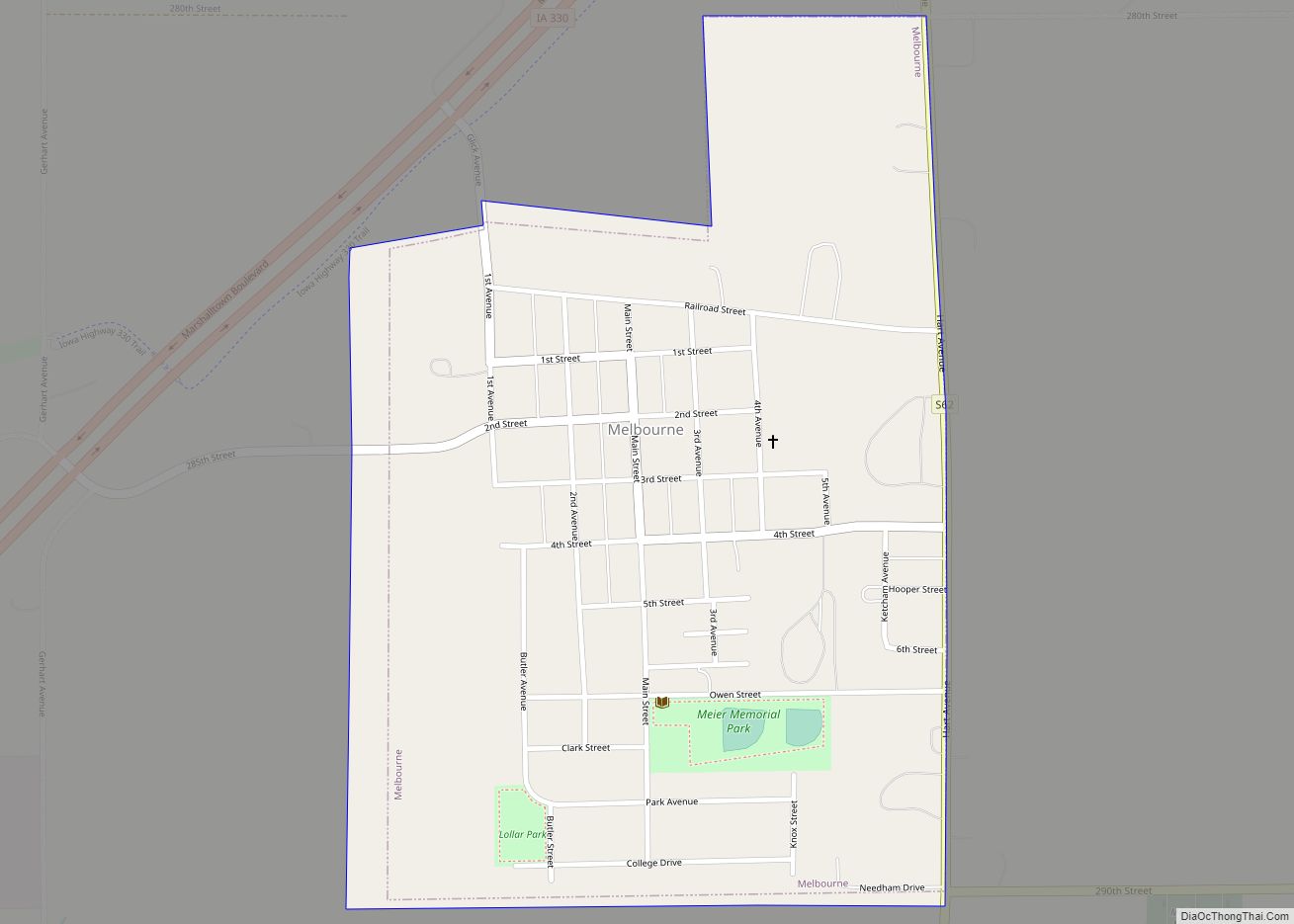
Melbourne is a city in Marshall County, Iowa, United States. The population was 786 at the time of the 2020 census. Melbourne city overview: Name: Melbourne city LSAD Code: 25 LSAD Description: city (suffix) State: Iowa County: Marshall County Elevation: 1,043 ft (318 m) Total Area: 0.53 sq mi (1.37 km²) Land Area: 0.53 sq mi (1.37 km²) Water Area: 0.00 sq mi (0.00 km²) Total ... Read more
Iowa Cities and Places
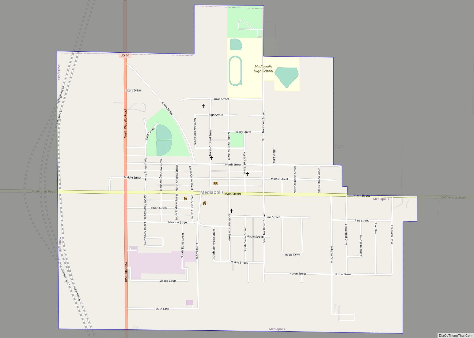
Mediapolis is a city in Des Moines County, Iowa, United States. Its population was 1,688 at the time of the 2020 census. It is part of the Burlington, IA–IL Micropolitan Statistical Area. Mediapolis city overview: Name: Mediapolis city LSAD Code: 25 LSAD Description: city (suffix) State: Iowa County: Des Moines County Elevation: 771 ft (235 m) Total ... Read more
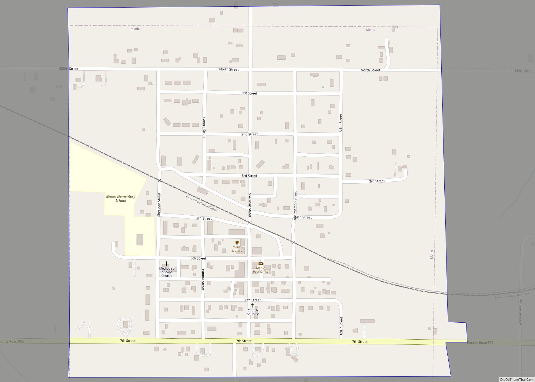
Menlo is a city in Guthrie County, Iowa, United States. The population was 345 at the time of the 2020 census. It is part of the Des Moines–West Des Moines Metropolitan Statistical Area. Menlo city overview: Name: Menlo city LSAD Code: 25 LSAD Description: city (suffix) State: Iowa County: Guthrie County Elevation: 1,260 ft (384 m) Total ... Read more
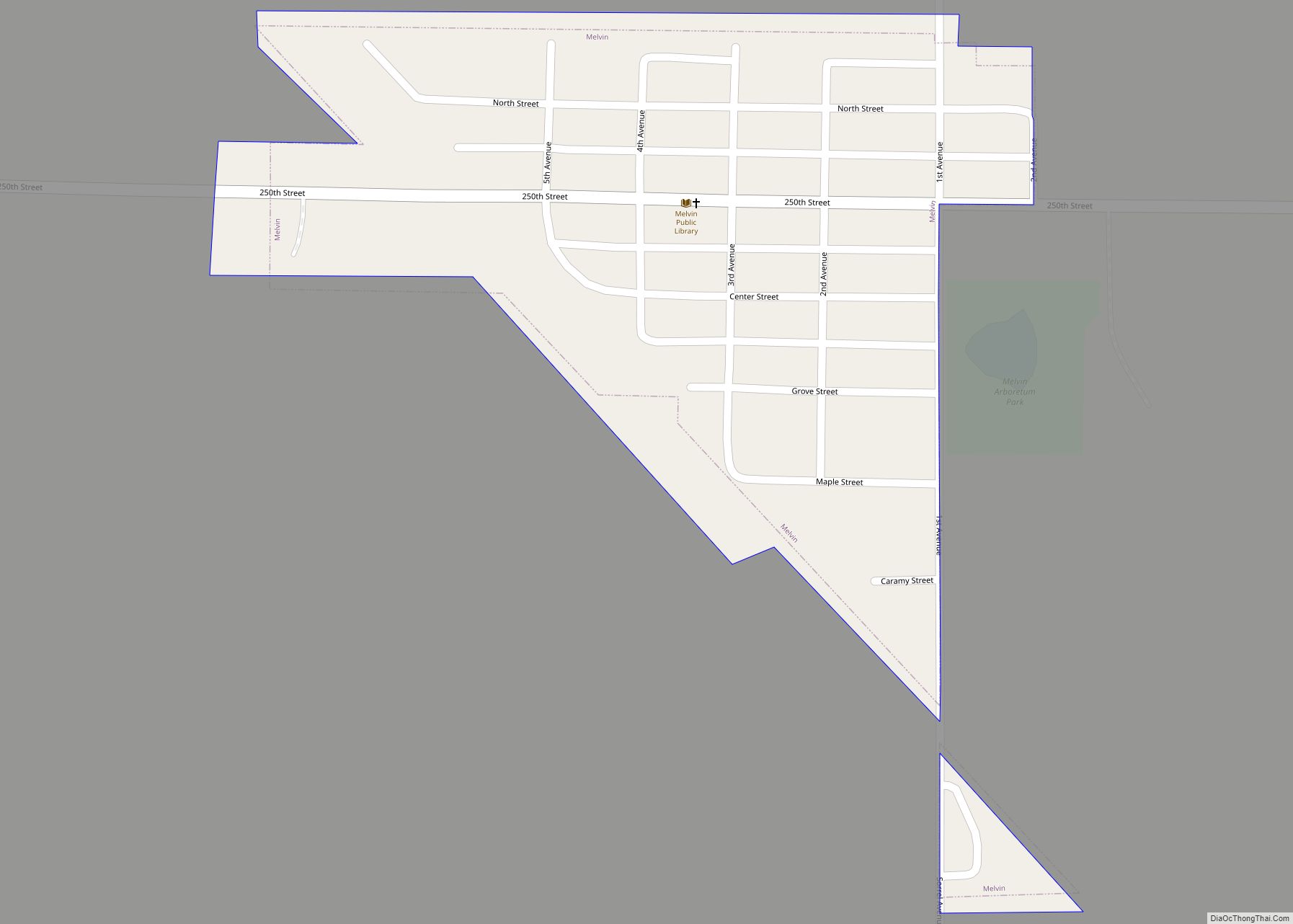
Melvin is a city in Osceola County, Iowa, United States. The population was 199 at the time of the 2020 census. Melvin city overview: Name: Melvin city LSAD Code: 25 LSAD Description: city (suffix) State: Iowa County: Osceola County Elevation: 1,581 ft (482 m) Total Area: 0.16 sq mi (0.42 km²) Land Area: 0.16 sq mi (0.42 km²) Water Area: 0.00 sq mi (0.00 km²) Total ... Read more
Melrose is a community in Monroe County, Iowa, United States. The population was 110 at the time of the 2020 census. Melrose is known as Iowa’s “Little Ireland”. As such, the majority of the 130 population are Irish Catholics. Melrose city overview: Name: Melrose city LSAD Code: 25 LSAD Description: city (suffix) State: Iowa County: ... Read more
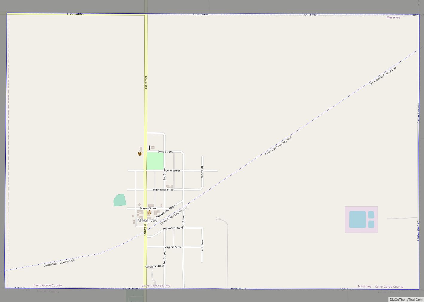
Meservey is a city in Cerro Gordo County, Iowa, United States. The population was 222 at the time of the 2020 census. It is part of the Mason City Micropolitan Statistical Area. Meservey city overview: Name: Meservey city LSAD Code: 25 LSAD Description: city (suffix) State: Iowa County: Cerro Gordo County Elevation: 1,250 ft (381 m) Total ... Read more
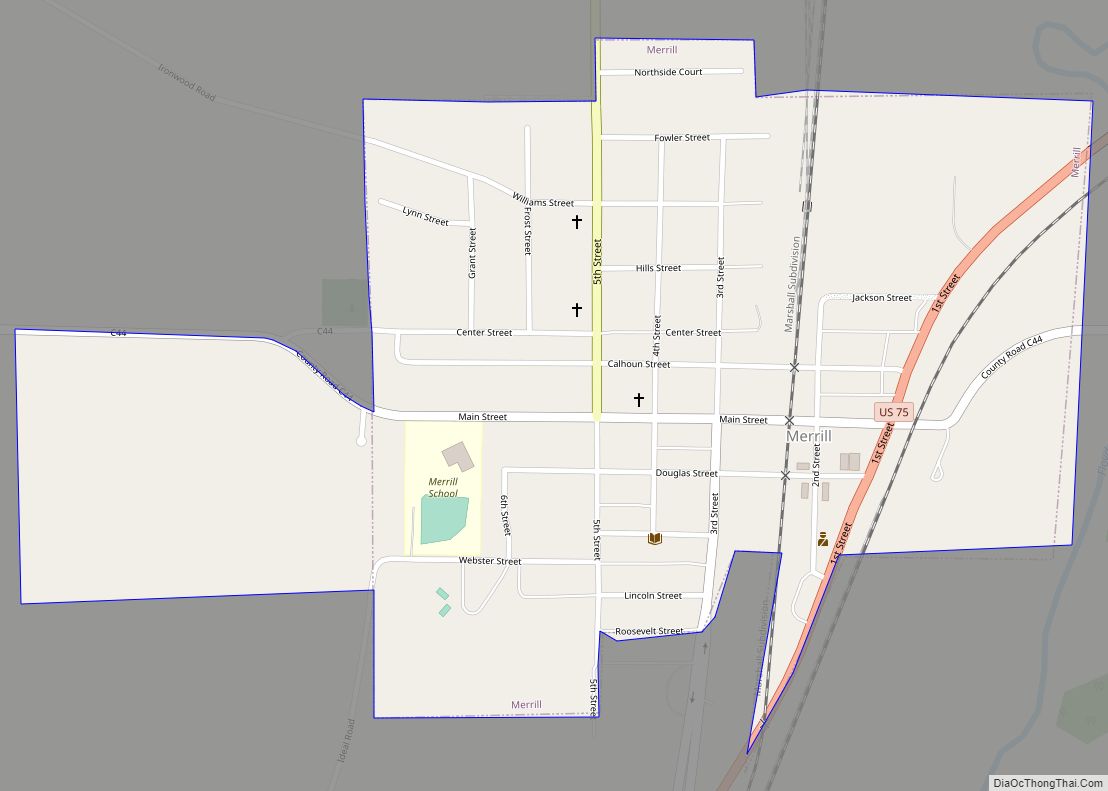
Merrill is a city in Plymouth County, Iowa, United States, along the Floyd River. The population was 717 at the time of the 2020 census. Merrill city overview: Name: Merrill city LSAD Code: 25 LSAD Description: city (suffix) State: Iowa County: Plymouth County Incorporated: April 24, 1894 Elevation: 1,175 ft (358 m) Total Area: 0.52 sq mi (1.34 km²) Land ... Read more
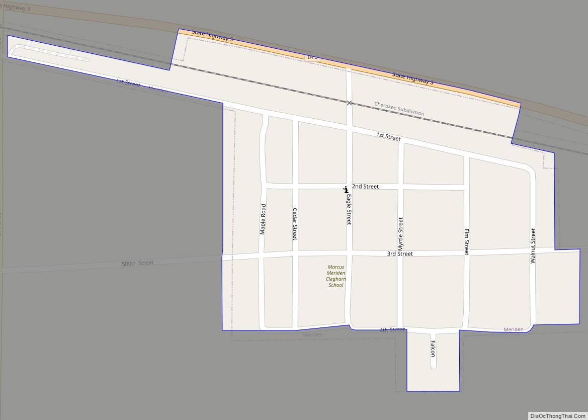
Meriden is a city in Cherokee County, Iowa, United States. The population was 161 at the time of the 2020 census. Meriden city overview: Name: Meriden city LSAD Code: 25 LSAD Description: city (suffix) State: Iowa County: Cherokee County Elevation: 1,411 ft (430 m) Total Area: 0.11 sq mi (0.29 km²) Land Area: 0.11 sq mi (0.29 km²) Water Area: 0.00 sq mi (0.00 km²) Total ... Read more
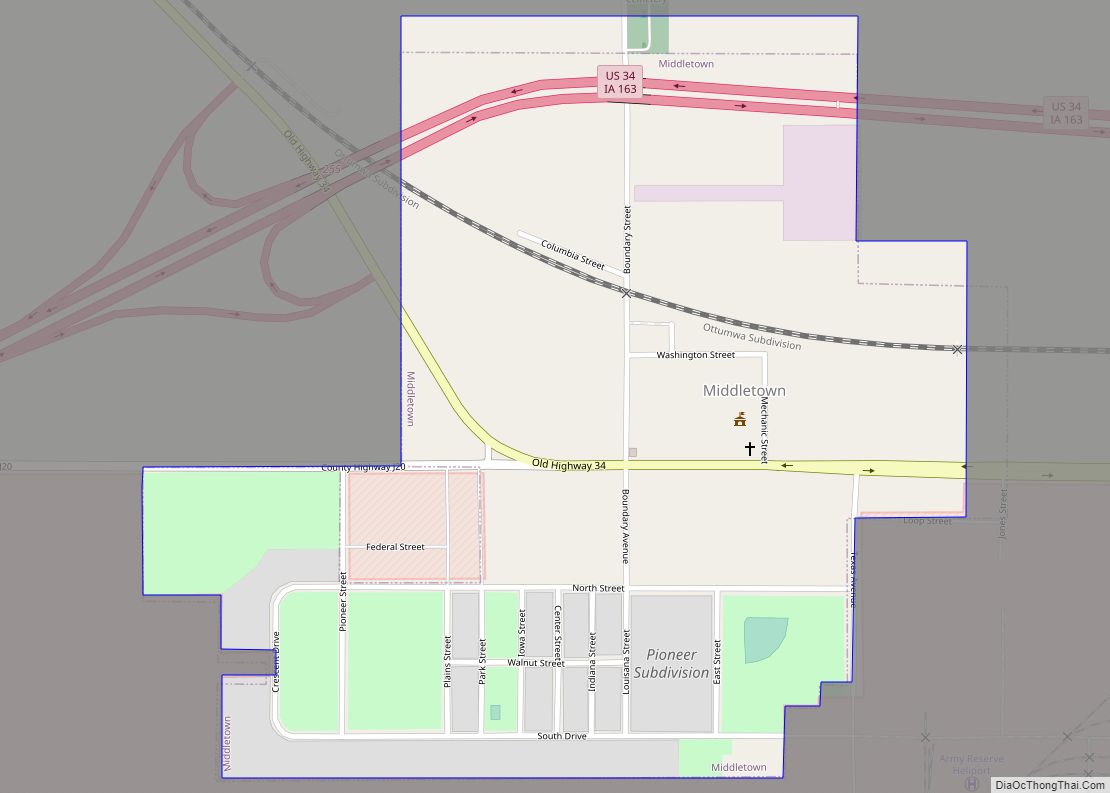
Middletown is a city in Des Moines County, Iowa, United States. The population was 363 at the time of the 2020 census. It is part of the Burlington, IA–IL Micropolitan Statistical Area. Middletown city overview: Name: Middletown city LSAD Code: 25 LSAD Description: city (suffix) State: Iowa County: Des Moines County Elevation: 722 ft (220 m) Total ... Read more
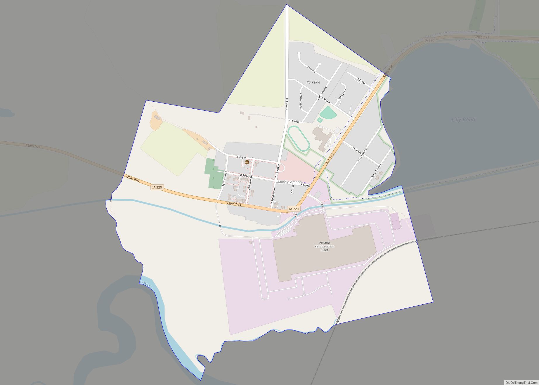
Middle Amana is an unincorporated community and census-designated place (CDP) in Iowa County, Iowa, United States. It is the largest of the seven villages of the Amana Colonies, all designated as a National Historic Landmark. As of the 2010 Census, the population of Middle Amana was 581. Middle Amana CDP overview: Name: Middle Amana CDP ... Read more
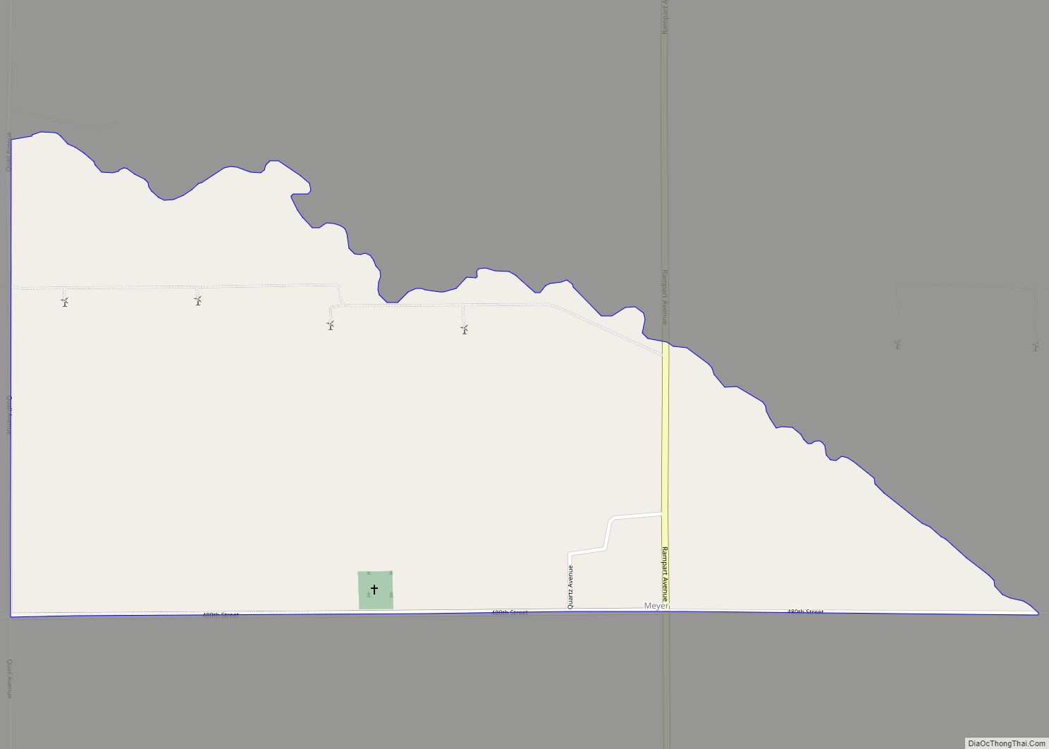
Meyer is an unincorporated community and census-designated place in Stacyville Township, Mitchell County, in the state of Iowa, United States. As of the 2020 census the population was 14, down from 31 in 2010. Meyer CDP overview: Name: Meyer CDP LSAD Code: 57 LSAD Description: CDP (suffix) State: Iowa County: Mitchell County Total Area: 0.71 sq mi ... Read more
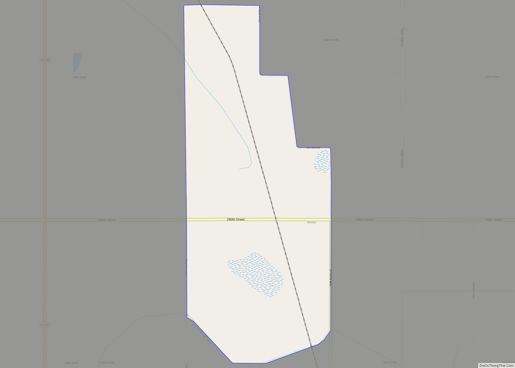
Miller is an unincorporated community and census-designated place in Hancock County, Iowa, United States. As of the 2010 census, the population was 60. Miller CDP overview: Name: Miller CDP LSAD Code: 57 LSAD Description: CDP (suffix) State: Iowa County: Hancock County Elevation: 1,227 ft (374 m) Total Area: 2.06 sq mi (5.35 km²) Land Area: 2.06 sq mi (5.35 km²) Water Area: 0.00 sq mi ... Read more
