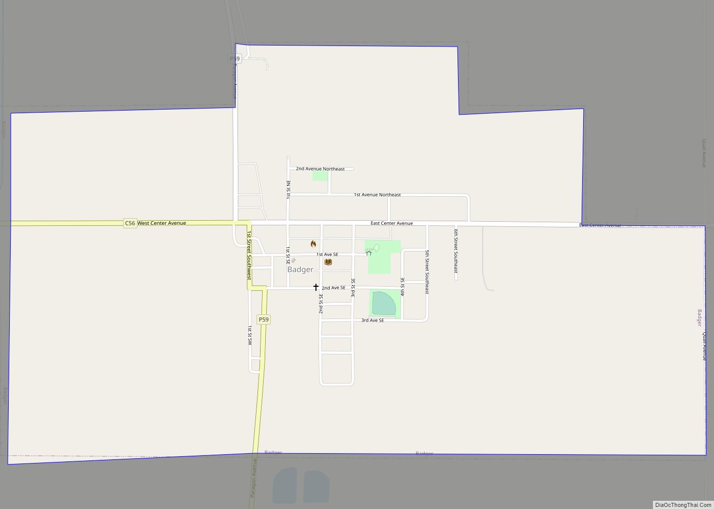
Badger is a city in Webster County, Iowa, United States. The population was 522 at the 2020 census. The town got its name from Badger Creek, which itself got its name when a group of soldiers from Fort Dodge in the early 1850s saw a badger for the first time. Badger city overview: Name: Badger ... Read more
Iowa Cities and Places
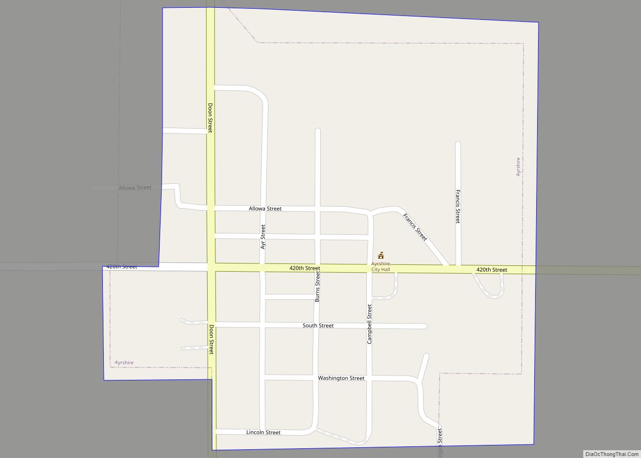
Ayrshire (/ˈɛərʃər/) is a city in Palo Alto County, Iowa, United States. The population was 133 at the 2020 census. Ayrshire city overview: Name: Ayrshire city LSAD Code: 25 LSAD Description: city (suffix) State: Iowa County: Palo Alto County Elevation: 1,319 ft (402 m) Total Area: 0.22 sq mi (0.56 km²) Land Area: 0.22 sq mi (0.56 km²) Water Area: 0.00 sq mi (0.00 km²) Total ... Read more
Bancroft is a city in Kossuth County, Iowa, United States. The population was 699 at the time of the 2020 census. Bancroft city overview: Name: Bancroft city LSAD Code: 25 LSAD Description: city (suffix) State: Iowa County: Kossuth County Elevation: 1,181 ft (360 m) Total Area: 0.56 sq mi (1.46 km²) Land Area: 0.56 sq mi (1.46 km²) Water Area: 0.00 sq mi (0.00 km²) Total ... Read more
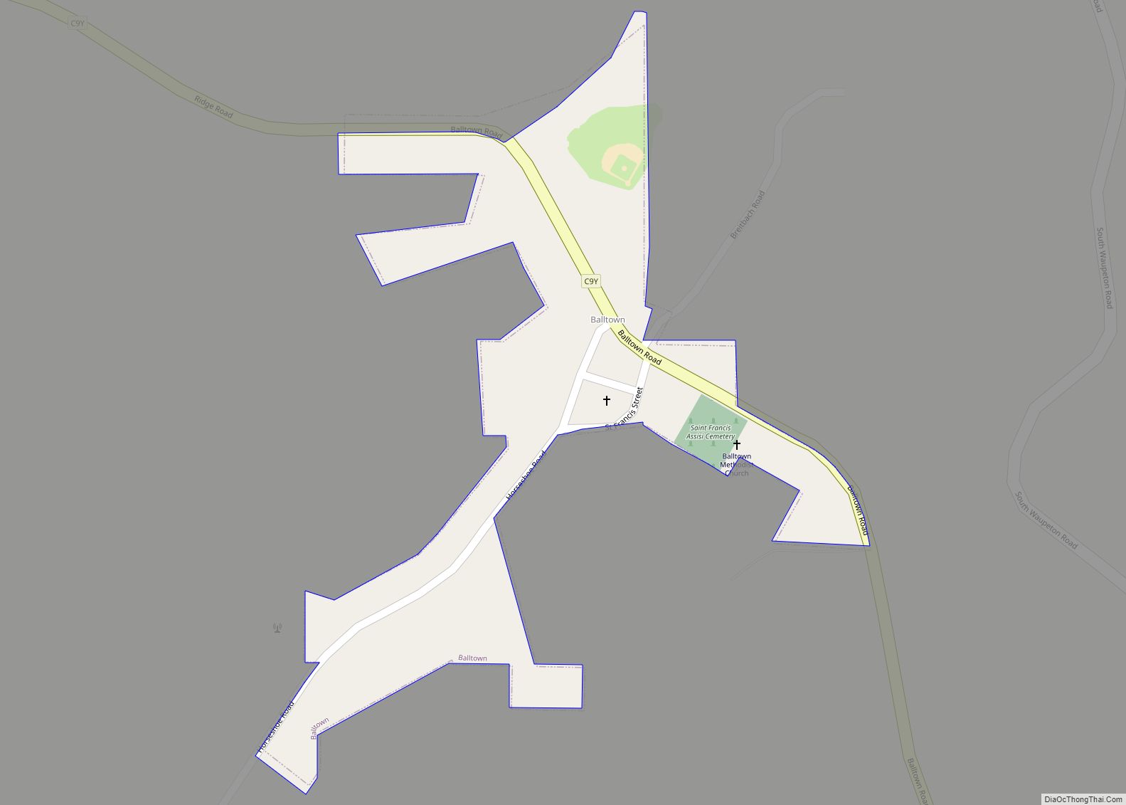
Balltown is a city in Dubuque County, Iowa, United States. It is part of the Dubuque, Iowa Metropolitan Statistical Area. The population was 79 at the 2020 census, up from 73 in 2000. Balltown is home to Breitbach’s Country Dining, Iowa’s oldest restaurant and bar, which was founded in 1852 and twice rebuilt by the ... Read more
Baldwin is a city in Jackson County, Iowa, United States. The population was 99 at the 2020 census. Baldwin city overview: Name: Baldwin city LSAD Code: 25 LSAD Description: city (suffix) State: Iowa County: Jackson County Incorporated: December 8, 1881 Elevation: 732 ft (223 m) Total Area: 0.38 sq mi (0.98 km²) Land Area: 0.38 sq mi (0.98 km²) Water Area: 0.00 sq mi (0.00 km²) ... Read more
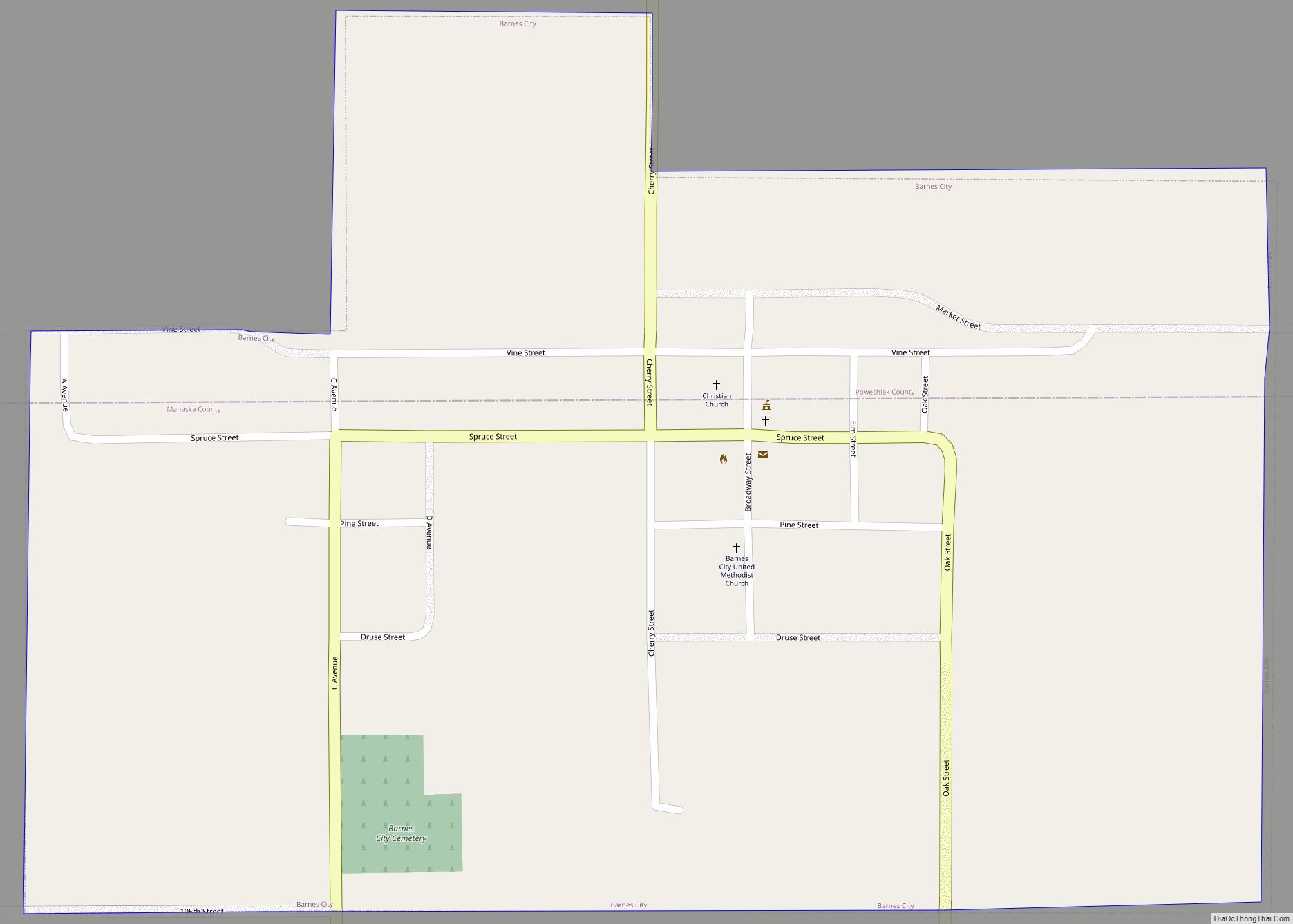
Barnes City is a city in Mahaska and Poweshiek counties in the U.S. state of Iowa. The population was 156 at the 2020 census. Barnes City city overview: Name: Barnes City city LSAD Code: 25 LSAD Description: city (suffix) State: Iowa County: Mahaska County, Poweshiek County Elevation: 902 ft (275 m) Total Area: 0.59 sq mi (1.53 km²) Land Area: ... Read more
Bankston is a city in Dubuque County, Iowa, United States. It is part of the ‘Dubuque, Iowa Metropolitan Statistical Area’. The population was 23 at the 2020 census, down from 27 in 2000. Bankston city overview: Name: Bankston city LSAD Code: 25 LSAD Description: city (suffix) State: Iowa County: Dubuque County Elevation: 1,204 ft (367 m) Total ... Read more
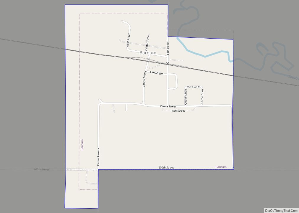
Barnum is a city in Webster County, Iowa, United States, just off U.S. Route 20. The population was 175 at the 2020 census. Barnum city overview: Name: Barnum city LSAD Code: 25 LSAD Description: city (suffix) State: Iowa County: Webster County Elevation: 1,175 ft (358 m) Total Area: 0.37 sq mi (0.97 km²) Land Area: 0.37 sq mi (0.97 km²) Water Area: 0.00 sq mi ... Read more
Batavia is a city in Jefferson County, Iowa, United States. The population was 430 at the 2020 census. It was established in 1846. Batavia city overview: Name: Batavia city LSAD Code: 25 LSAD Description: city (suffix) State: Iowa County: Jefferson County Elevation: 751 ft (229 m) Total Area: 0.62 sq mi (1.59 km²) Land Area: 0.62 sq mi (1.59 km²) Water Area: 0.00 sq mi ... Read more
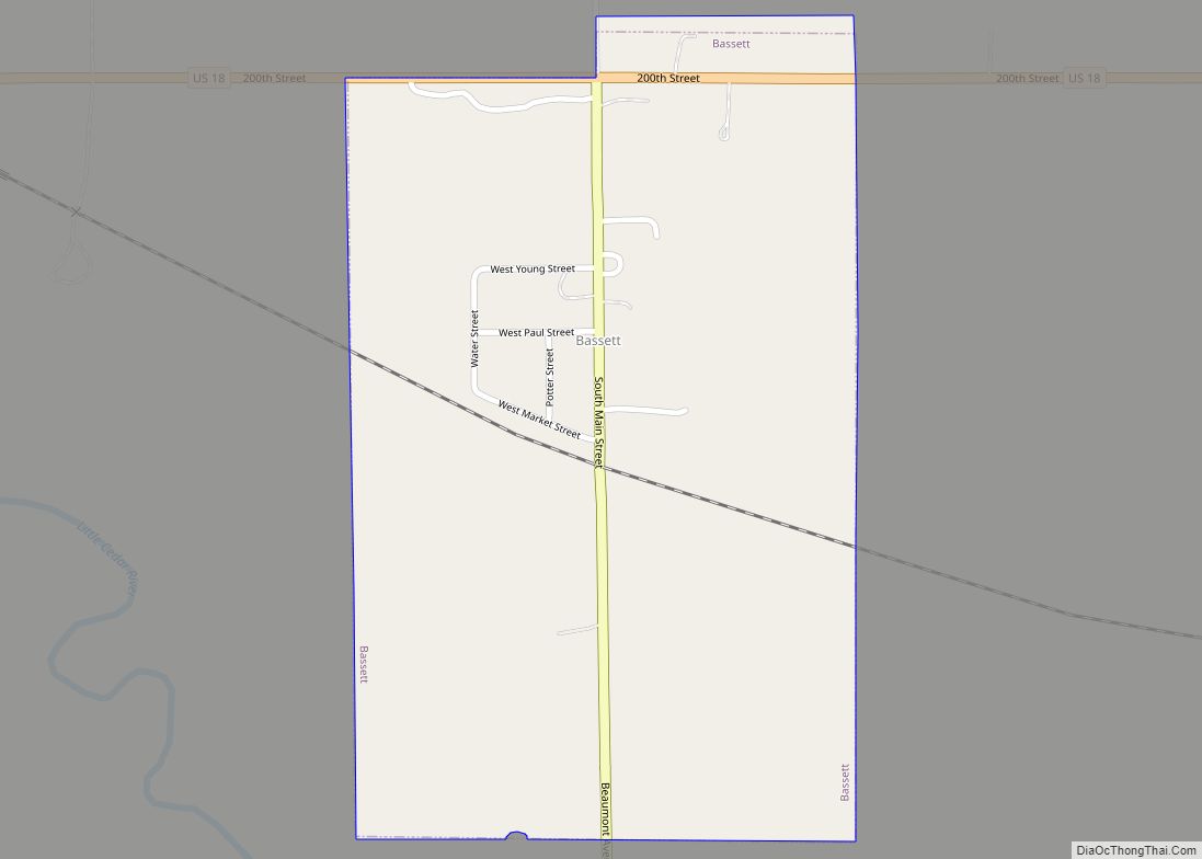
Bassett is a city in Chickasaw County, Iowa, United States. The population was 45 at the 2020 census. Bassett city overview: Name: Bassett city LSAD Code: 25 LSAD Description: city (suffix) State: Iowa County: Chickasaw County Elevation: 1,063 ft (324 m) Total Area: 0.39 sq mi (1.02 km²) Land Area: 0.39 sq mi (1.02 km²) Water Area: 0.00 sq mi (0.00 km²) Total Population: 45 Population ... Read more
Bartlett is an unincorporated community and census-designated place in Fremont County, Iowa, United States. As of the 2010 census, it had a population of 50. It is located at the intersection of County Road L31 and Western Avenue, near Interstate 29 and the Missouri River and is 5 miles (8 km) northwest of Thurman, at 40.887295N ... Read more
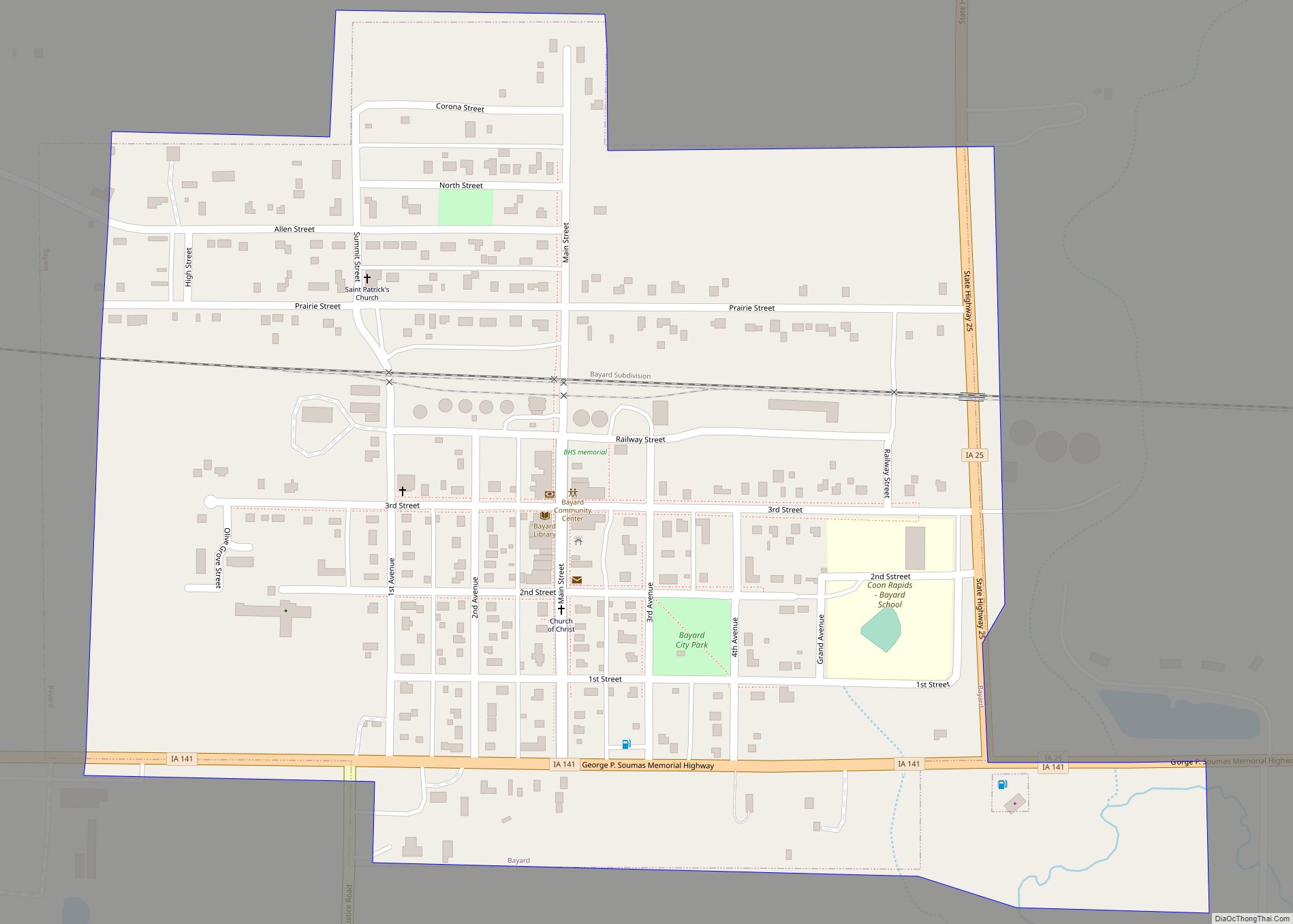
Bayard is a city in Guthrie County, Iowa, United States. The population was 405 in the 2020 census, a decline from 536 in 2000 census. It is part of the Des Moines–West Des Moines Metropolitan Statistical Area. Bayard city overview: Name: Bayard city LSAD Code: 25 LSAD Description: city (suffix) State: Iowa County: Guthrie County ... Read more
