Map of Robins city

Map of Robins city

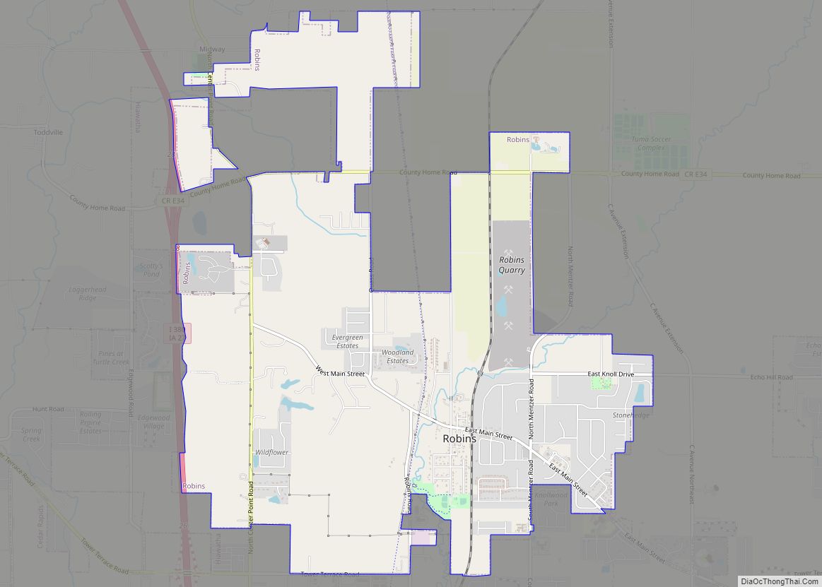
Robins is a city in Linn County, Iowa, United States. The population was 3,353 at the time of the 2020 census. It is a suburb of Cedar Rapids and part of the Cedar Rapids Metropolitan Statistical Area. Robins city overview: Name: Robins city LSAD Code: 25 LSAD Description: city (suffix) State: Iowa County: Linn County … Read more

Map of Riverton city

Map of Riverton city, Iowa

Riverton is a city in Fremont County, Iowa, United States, along the East Nishnabotna River. The population was 245 at the time of the 2020 census. Riverton city overview: Name: Riverton city LSAD Code: 25 LSAD Description: city (suffix) State: Iowa County: Fremont County Elevation: 965 ft (294 m) Total Area: 0.60 sq mi (1.56 km²) Land Area: 0.60 sq mi (1.56 km²) … Read more

Map of Rock Rapids city

Map of Rock Rapids city

Rock Rapids is a city in and the county seat of Lyon County, Iowa, United States. The population was 2,611 in the 2020 census, an increase from 2,573 in the 2000 census. Rock Rapids city overview: Name: Rock Rapids city LSAD Code: 25 LSAD Description: city (suffix) State: Iowa County: Lyon County Elevation: 1,388 ft (423 m) … Read more

Map of Rock Falls city

Map of Rock Falls city, Iowa

Rock Falls is a city in Cerro Gordo County, Iowa, United States, along the Shell Rock River. The population was 150 at the time of the 2020 census. It is part of the Mason City Micropolitan Statistical Area. Rock Falls city overview: Name: Rock Falls city LSAD Code: 25 LSAD Description: city (suffix) State: Iowa … Read more

Map of Rock Valley city

Map of Rock Valley city

Rock Valley is a city in Sioux County, Iowa, the North Western corner of Iowa, United States, along the Rock River. The population was 4,059 at the time of the 2020 census. Rock Valley city overview: Name: Rock Valley city LSAD Code: 25 LSAD Description: city (suffix) State: Iowa County: Sioux County Elevation: 1,250 ft (381 m) … Read more

Map of Rockwell city, Iowa

Map of Rockwell city, Iowa

Rockwell is a city in Cerro Gordo County, Iowa, United States. The population was 1,071 at the time of the 2020 census. It is part of the Mason City Micropolitan Statistical Area. Rockwell city overview: Name: Rockwell city LSAD Code: 25 LSAD Description: city (suffix) State: Iowa County: Cerro Gordo County Elevation: 1,115 ft (340 m) Total … Read more

Map of Rockwell City city

Map of Rockwell City

Rockwell City is a city in Calhoun County, Iowa, United States. The population was 2,240 in 2020. It is the county seat of Calhoun County. Rockwell City overview: Name: Rockwell City LSAD Code: 25 LSAD Description: city (suffix) State: Iowa County: Calhoun County Elevation: 1,230 ft (375 m) Total Area: 4.21 sq mi (10.91 km²) Land Area: 4.21 sq mi (10.91 km²) Water … Read more

Map of Rockford city, Iowa

Map of Rockford city, Iowa

Rockford is a city in Floyd County, Iowa, United States, at the confluence of the Shell Rock and Winnebago rivers. The population was 758 at the time of the 2020 census. Rockford city overview: Name: Rockford city LSAD Code: 25 LSAD Description: city (suffix) State: Iowa County: Floyd County Elevation: 1,007 ft (307 m) Total Area: 0.62 sq mi … Read more

Map of Roland city, Iowa

Map of Roland city, Iowa

Roland is a city in Story County, Iowa, United States. The population was 1,362 at the time of the 2020 census. It is part of the Ames, Iowa Metropolitan Statistical Area, which is a part of the larger Ames-Boone, Iowa Combined Statistical Area. Roland city overview: Name: Roland city LSAD Code: 25 LSAD Description: city … Read more

Map of Rodney city

Map of Rodney city

Rodney is a city in Monona County, Iowa, United States. The population was 45 at the time of the 2020 census. Rodney city overview: Name: Rodney city LSAD Code: 25 LSAD Description: city (suffix) State: Iowa County: Monona County Elevation: 1,109 ft (338 m) Total Area: 0.15 sq mi (0.39 km²) Land Area: 0.15 sq mi (0.39 km²) Water Area: 0.00 sq mi (0.00 km²) Total … Read more

Map of Rodman city

Map of Rodman city, Iowa

Rodman is a city in Palo Alto County, Iowa, United States. The population was 31 at the time of the 2020 census. Rodman is also the farthest city in Iowa from any National park, being 372 miles away from the closest National park in the United States. Rodman city overview: Name: Rodman city LSAD Code: … Read more

Map of Rose Hill city

Map of Rose Hill city, Iowa

Rose Hill is a city in Mahaska County, Iowa, United States. The population was 157 at the time of the 2020 census. Rose Hill city overview: Name: Rose Hill city LSAD Code: 25 LSAD Description: city (suffix) State: Iowa County: Mahaska County Elevation: 814 ft (248 m) Total Area: 0.14 sq mi (0.37 km²) Land Area: 0.14 sq mi (0.37 km²) Water Area: … Read more