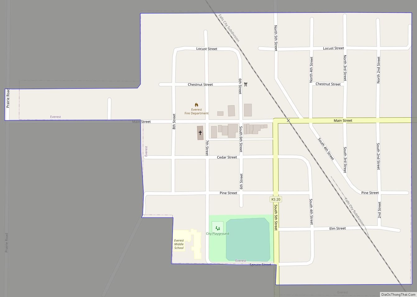
Everest is a city in Brown County, Kansas, United States. As of the 2020 census, the population of the city was 265. Everest city overview: Name: Everest city LSAD Code: 25 LSAD Description: city (suffix) State: Kansas County: Brown County Founded: 1882 Incorporated: 1882 Elevation: 1,152 ft (351 m) Total Area: 0.25 sq mi (0.64 km²) Land Area: 0.25 sq mi (0.64 km²) ... Read more
Kansas Cities and Places
Eureka is a city in and the county seat of Greenwood County, Kansas, United States. As of the 2020 census, the population of the city was 2,332. Eureka city overview: Name: Eureka city LSAD Code: 25 LSAD Description: city (suffix) State: Kansas County: Greenwood County Founded: 1857 Incorporated: 1870 Elevation: 1,079 ft (329 m) Total Area: 2.29 sq mi ... Read more
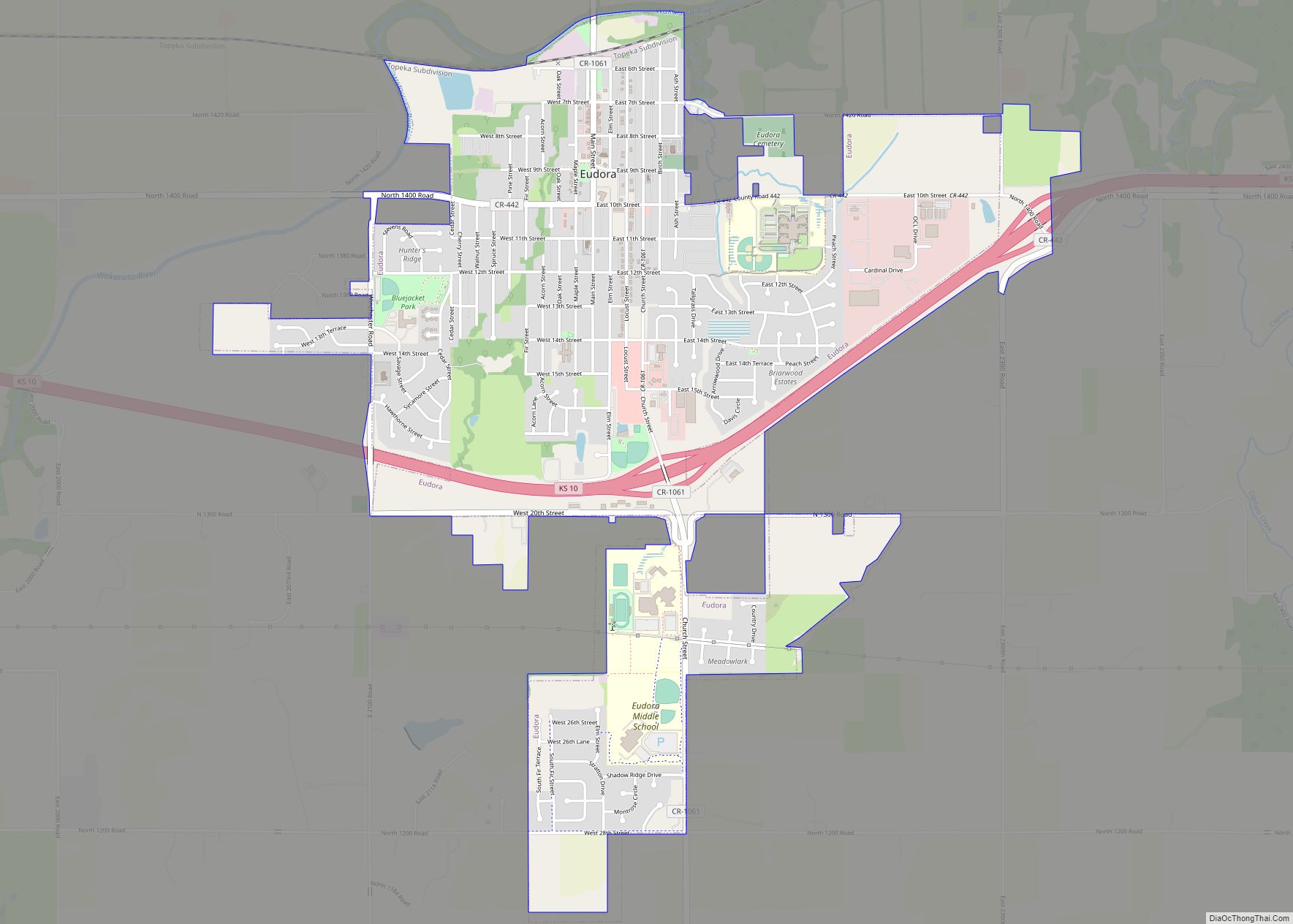
Eudora is a city in Douglas County, Kansas, United States, along the Kansas and Wakarusa rivers. As of the 2020 census, the population of the city was 6,408. Eudora city overview: Name: Eudora city LSAD Code: 25 LSAD Description: city (suffix) State: Kansas County: Douglas County Incorporated: 1859 Elevation: 840 ft (260 m) Total Area: 2.98 sq mi (7.73 km²) ... Read more
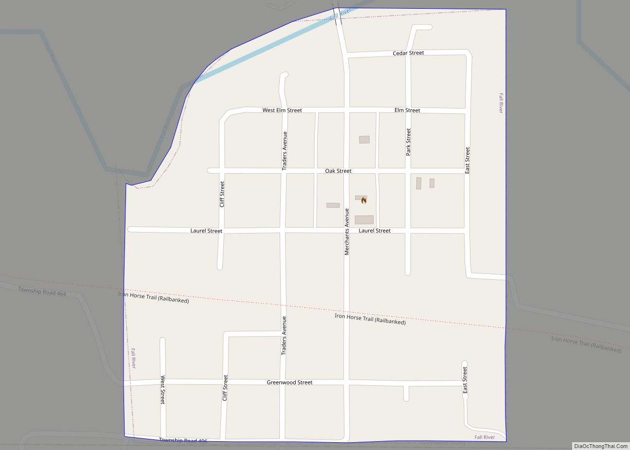
Fall River is a city in Greenwood County, Kansas, United States. As of the 2020 census, the population of the city was 131. Fall River city overview: Name: Fall River city LSAD Code: 25 LSAD Description: city (suffix) State: Kansas County: Greenwood County Incorporated: 1879 Elevation: 932 ft (284 m) Total Area: 0.22 sq mi (0.57 km²) Land Area: 0.22 sq mi ... Read more
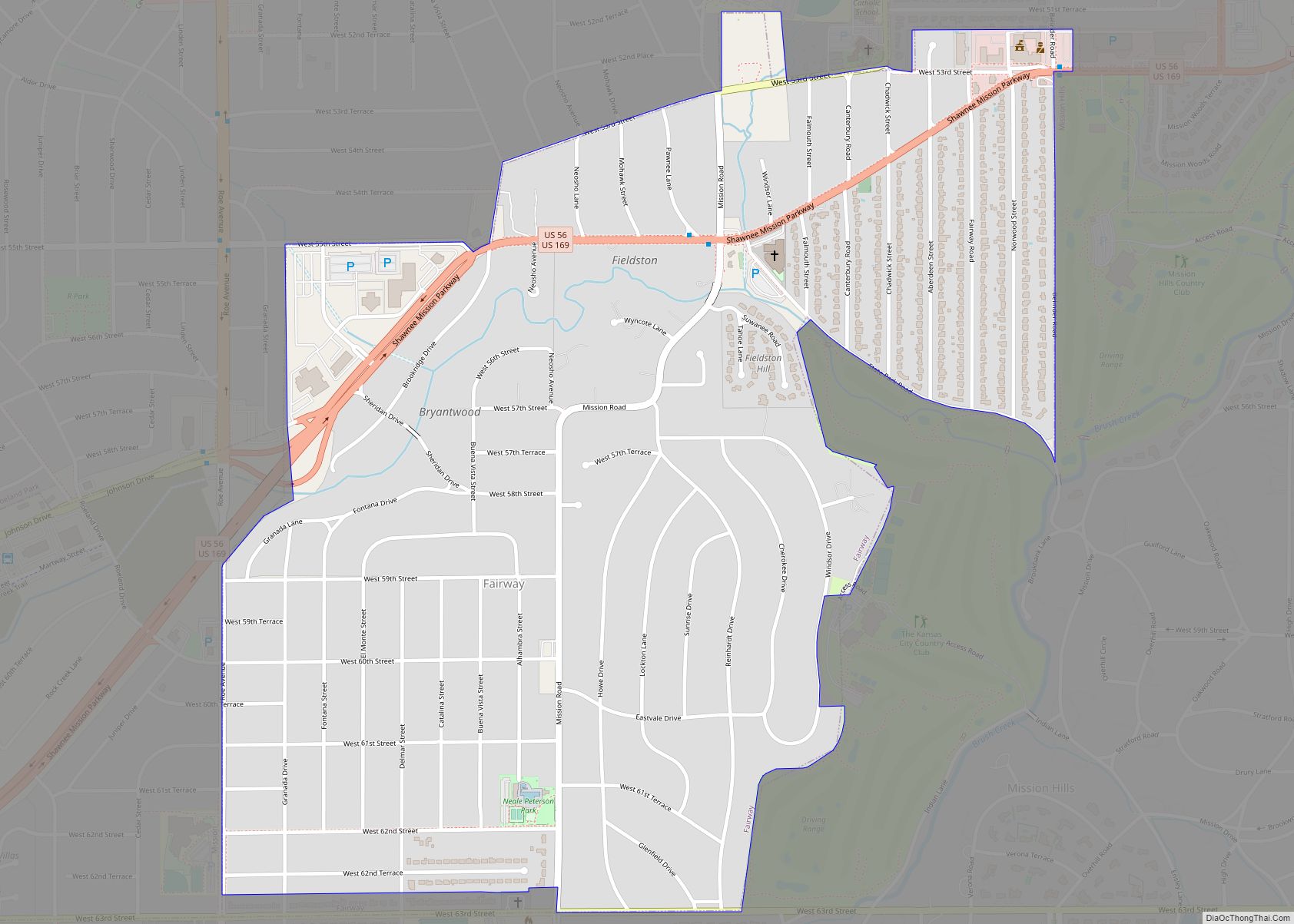
Fairway is a city in Johnson County, Kansas, United States, and is included in the Kansas City Metropolitan Area census designation and the Shawnee Mission postal services designation. As of the 2020 census, the population of the city was 4,170. Fairway city overview: Name: Fairway city LSAD Code: 25 LSAD Description: city (suffix) State: Kansas ... Read more
Fairview is a city in Brown County, Kansas, United States. As of the 2020 census, the population of the city was 240. Fairview city overview: Name: Fairview city LSAD Code: 25 LSAD Description: city (suffix) State: Kansas County: Brown County Founded: 1872 Incorporated: 1886 Elevation: 1,224 ft (373 m) Total Area: 0.36 sq mi (0.93 km²) Land Area: 0.36 sq mi (0.93 km²) ... Read more
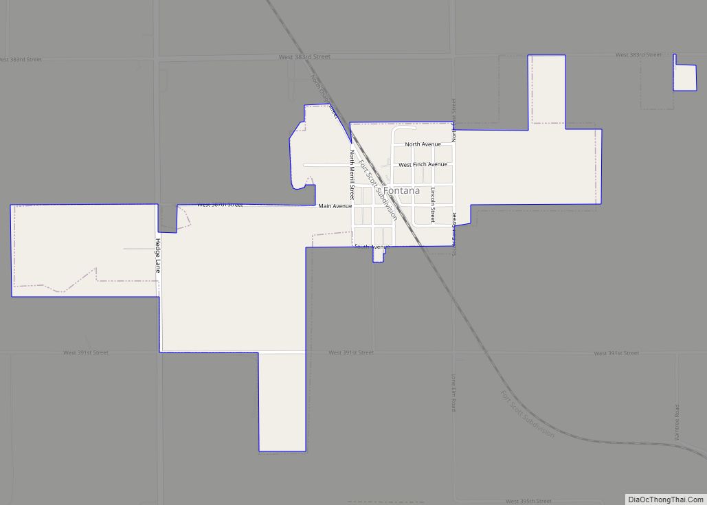
Fontana is a city in south central Miami County, Kansas, United States, and is part of the Kansas City metropolitan area. As of the 2020 census, the population of the city was 210. The name Fontana comes from the French word fontaine, meaning fountain or a spring-like water source. It was given to the small ... Read more
Florence is a city in Marion County, Kansas, United States. The city was named after the daughter of the third Governor of Kansas Samuel J. Crawford. As of the 2020 census, the population of the city was 394. It is located at the intersection of U.S. Route 50 and U.S. Route 77 highways. Florence city ... Read more
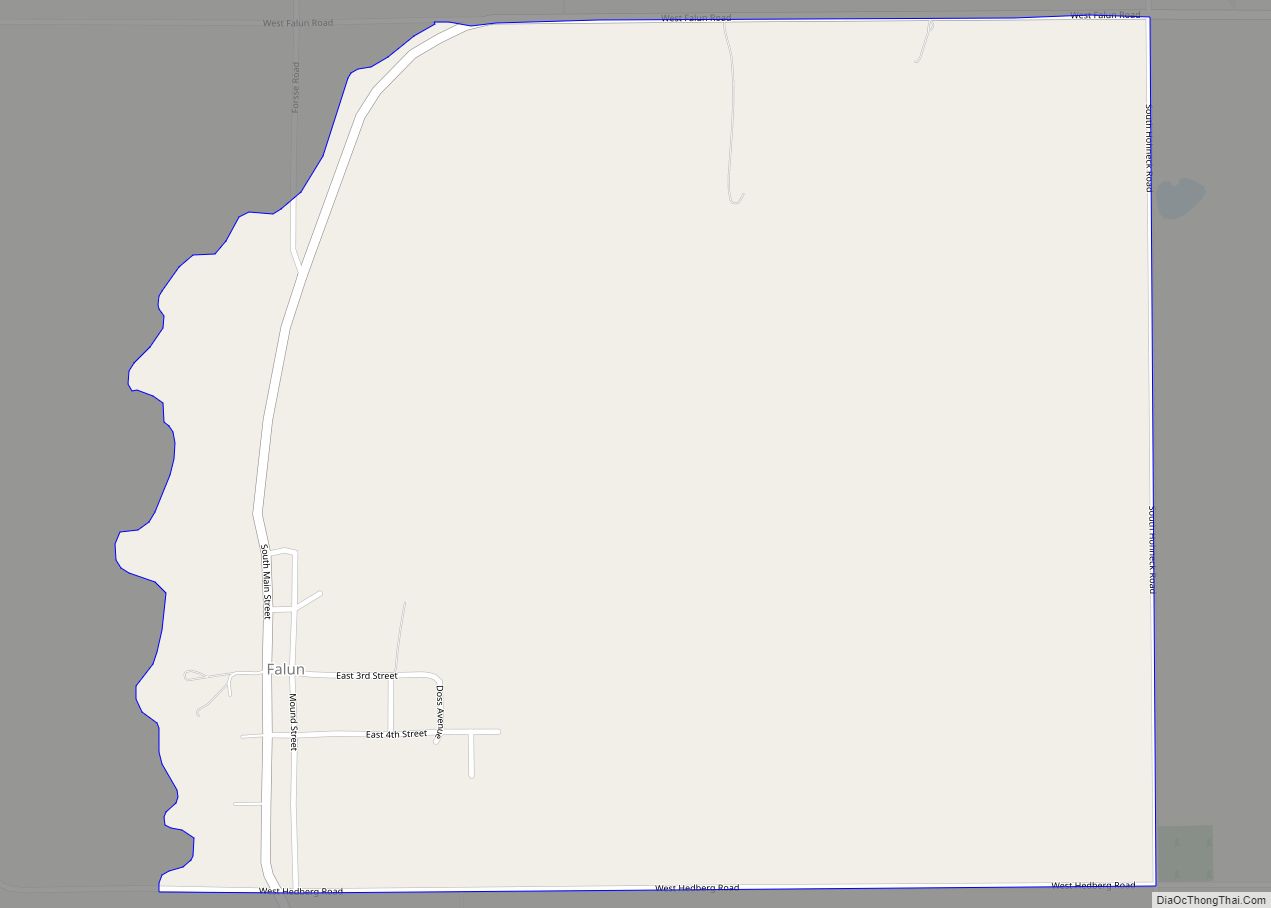
Falun is an unincorporated community in southwestern Saline County, Kansas, United States. As of the 2020 census, the population of the community and nearby areas was 83. It lies southwest of Salina and northwest of Lindsborg at the intersection of Forsse Road and Hedberg Road, about 7.5 miles west of Interstate 135 highway, or about ... Read more
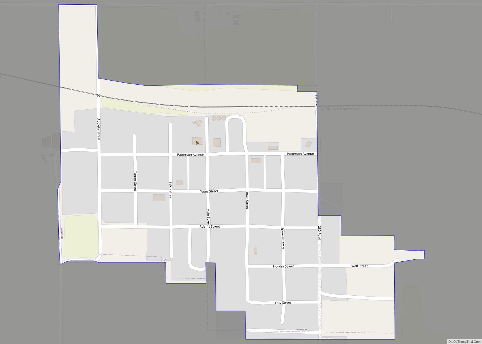
Formoso is a city in Jewell County, Kansas, United States. As of the 2020 census, the population of the city was 94. Formoso city overview: Name: Formoso city LSAD Code: 25 LSAD Description: city (suffix) State: Kansas County: Jewell County Founded: 1880s Incorporated: 1882 Elevation: 1,529 ft (466 m) Total Area: 0.25 sq mi (0.64 km²) Land Area: 0.25 sq mi (0.64 km²) ... Read more
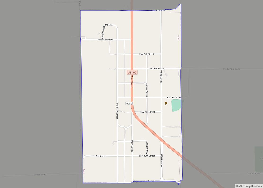
Ford is a city in Ford County, Kansas, United States. As of the 2020 census, the population of the city was 203. Ford city overview: Name: Ford city LSAD Code: 25 LSAD Description: city (suffix) State: Kansas County: Ford County Founded: 1885 Incorporated: 1887 Elevation: 2,405 ft (733 m) Total Area: 0.42 sq mi (1.10 km²) Land Area: 0.42 sq mi (1.10 km²) ... Read more
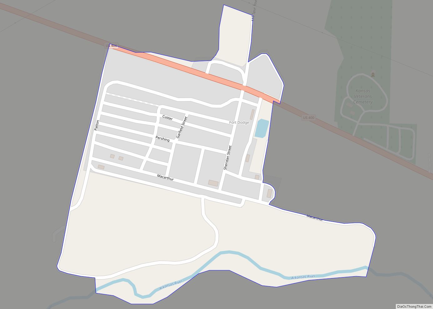
Fort Dodge is an unincorporated community in Grandview Township, Ford County, Kansas, United States. As of the 2020 census, the population of the community and nearby areas was 97. It is located on U.S. Route 400 5 miles (8 km) southeast of Dodge City. Fort Dodge has a post office with ZIP code 67843. Fort Dodge ... Read more
