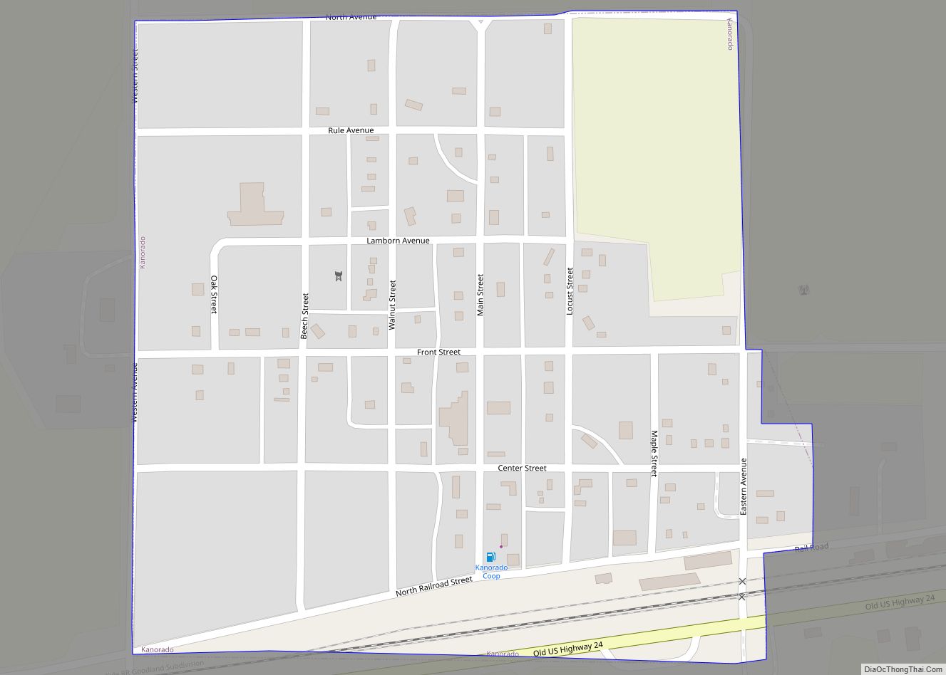
Map of Kensington city, Kansas
Kensington is a city in Smith County, Kansas, United States. As of the 2020 census, the population of the city was 399. Kensington city overview: Name: Kensington city LSAD Code: 25 LSAD Description: city (suffix) State: Kansas County: Smith County Founded: 1887 Incorporated: 1900 Elevation: 1,778 ft (542 m) Total Area: 0.34 sq mi (0.87 km²) Land Area: 0.34 sq mi (0.87 km²) ... Read more
Map of Kensington city, Kansas
Map of Kickapoo Site 5 CDP
Kickapoo Site 5 is a unincorporated community on the Kickapoo Reservation in Brown County, Kansas, United States. As of the 2020 census, the population of the community and nearby areas was 59. Kickapoo Site 5 CDP overview: Name: Kickapoo Site 5 CDP LSAD Code: 57 LSAD Description: CDP (suffix) State: Kansas County: Brown County Elevation: ... Read more
Map of Kickapoo Site 5 CDP
Map of Kickapoo Site 2 CDP
Kickapoo Site 2 is a unincorporated community on the Kickapoo Reservation in Brown County, Kansas, United States. As of the 2020 census, the population of the community and nearby areas was 27. Kickapoo Site 2 CDP overview: Name: Kickapoo Site 2 CDP LSAD Code: 57 LSAD Description: CDP (suffix) State: Kansas County: Brown County Elevation: ... Read more
Map of Kickapoo Site 2 CDP
Map of Kickapoo Site 1 CDP
Kickapoo Site 1 is a unincorporated community on the Kickapoo Reservation in Brown County, Kansas, United States. As of the 2020 census, the population of the community and nearby areas was 110. Kickapoo Site 1 CDP overview: Name: Kickapoo Site 1 CDP LSAD Code: 57 LSAD Description: CDP (suffix) State: Kansas County: Brown County Elevation: ... Read more
Map of Kickapoo Site 1 CDP
Map of Kickapoo Tribal Center CDP
Kickapoo Tribal Center is a unincorporated community on the Kickapoo Reservation in Brown County, Kansas, United States. As of the 2020 census, the population of the community and nearby areas was 177, making it the most populous location within the reservation. Kickapoo Tribal Center CDP overview: Name: Kickapoo Tribal Center CDP LSAD Code: 57 LSAD ... Read more
Map of Kickapoo Tribal Center CDP
Map of Kickapoo Site 7 CDP
Kickapoo Site 7 is a unincorporated community on the Kickapoo Reservation in Brown County, Kansas, United States. As of the 2020 census, the population of the community and nearby areas was 104. Kickapoo Site 7 CDP overview: Name: Kickapoo Site 7 CDP LSAD Code: 57 LSAD Description: CDP (suffix) State: Kansas County: Brown County Elevation: ... Read more
Map of Kickapoo Site 7 CDP
Map of Kickapoo Site 6 CDP
Kickapoo Site 6 is a unincorporated community on the Kickapoo Reservation in Brown County, Kansas, United States. As of the 2020 census, the population of the community and nearby areas was 13. Kickapoo Site 6 CDP overview: Name: Kickapoo Site 6 CDP LSAD Code: 57 LSAD Description: CDP (suffix) State: Kansas County: Brown County Elevation: ... Read more
Map of Kickapoo Site 6 CDP
Map of Kinsley city
Kinsley is a city in and the county seat of Edwards County, Kansas, United States. As of the 2020 census, the population of the city was 1,456. Kinsley city overview: Name: Kinsley city LSAD Code: 25 LSAD Description: city (suffix) State: Kansas County: Edwards County Founded: 1870s Incorporated: 1878 Elevation: 2,169 ft (661 m) Total Area: 1.30 sq mi ... Read more
Map of Kinsley city
Map of Kingman city, Kansas
Kingman is a city in and the county seat of Kingman County, Kansas, United States. As of the 2020 census, the population of the city was 3,105. Kingman city overview: Name: Kingman city LSAD Code: 25 LSAD Description: city (suffix) State: Kansas County: Kingman County Founded: 1870s Incorporated: 1883 Elevation: 1,519 ft (463 m) Total Area: 3.47 sq mi ... Read more
Map of Kingman city, Kansas
Map of Kincaid city, Kansas
Kincaid is a city in Anderson County, Kansas, United States. As of the 2020 census, the population of the city was 103. Kincaid city overview: Name: Kincaid city LSAD Code: 25 LSAD Description: city (suffix) State: Kansas County: Anderson County Founded: 1885 Incorporated: 1886 Elevation: 1,056 ft (322 m) Total Area: 0.50 sq mi (1.30 km²) Land Area: 0.50 sq mi (1.30 km²) ... Read more
Map of Kincaid city, Kansas
Map of Kirwin city
Kirwin is a city in Phillips County, Kansas, United States. As of the 2020 census, the population of the city was 139. Kirwin city overview: Name: Kirwin city LSAD Code: 25 LSAD Description: city (suffix) State: Kansas County: Phillips County Founded: 1869 Incorporated: 1877 Elevation: 1,700 ft (500 m) Total Area: 0.92 sq mi (2.37 km²) Land Area: 0.92 sq mi (2.37 km²) ... Read more
Map of Kirwin city
Map of Kipp CDP
Kipp is an unincorporated community on the border between Eureka and Solomon townships in Saline County, Kansas, United States. As of the 2020 census, the population of the community and nearby areas was 60. It is located southeast of Salina along Schilling Road between Whitmore Road and Kipp Road, next to an abandoned railroad. Kipp ... Read more
Map of Kipp CDP