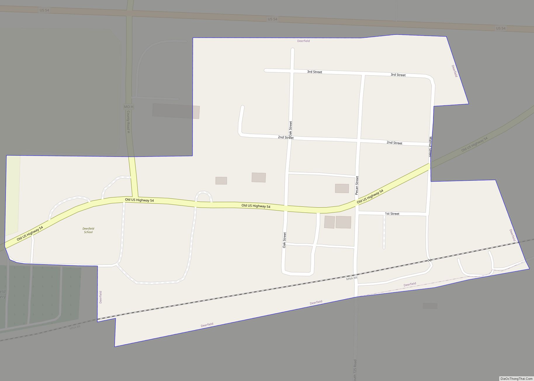
Deerfield is a village in Vernon County, Missouri, United States. The population was 40 at the 2020 census. Deerfield village overview: Name: Deerfield village LSAD Code: 47 LSAD Description: village (suffix) State: Missouri County: Vernon County Elevation: 787 ft (240 m) Total Area: 0.10 sq mi (0.26 km²) Land Area: 0.10 sq mi (0.26 km²) Water Area: 0.00 sq mi (0.00 km²) Total Population: 40 Population ... Read more
Missouri Cities and Places
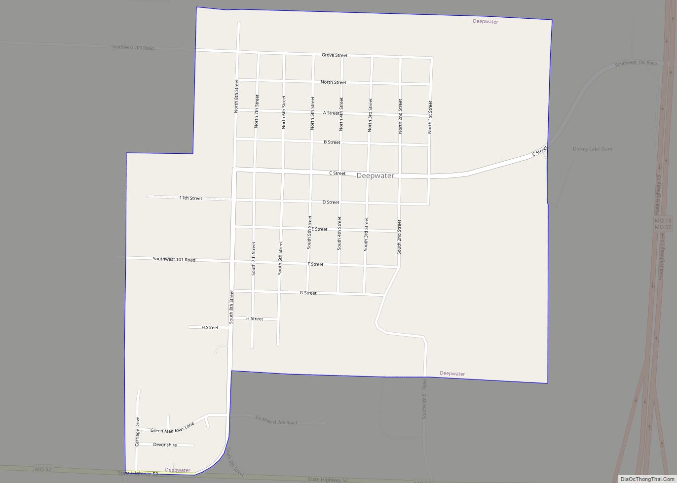
Deepwater is a city in Henry County, Missouri, United States. The population was 433 at the 2010 census. Deepwater city overview: Name: Deepwater city LSAD Code: 25 LSAD Description: city (suffix) State: Missouri County: Henry County Elevation: 748 ft (228 m) Total Area: 0.86 sq mi (2.22 km²) Land Area: 0.85 sq mi (2.20 km²) Water Area: 0.01 sq mi (0.03 km²) Total Population: 355 Population ... Read more
Delta is a city in Cape Girardeau County, Missouri, United States. The population was 376 at the 2020 census. It is part of the Cape Girardeau–Jackson, MO-IL Metropolitan Statistical Area. Delta city overview: Name: Delta city LSAD Code: 25 LSAD Description: city (suffix) State: Missouri County: Cape Girardeau County Elevation: 341 ft (104 m) Total Area: 0.39 sq mi ... Read more
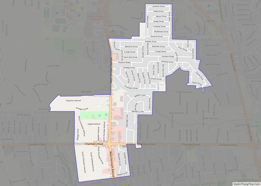
Dellwood is a city in the north St. Louis County, Missouri, United States. The population was 5,025 at the 2010 census. The center of Dellwood or the city of Dellwood was located at the intersections of West Florissant Ave. and Chambers Road. Dellwood city overview: Name: Dellwood city LSAD Code: 25 LSAD Description: city (suffix) ... Read more
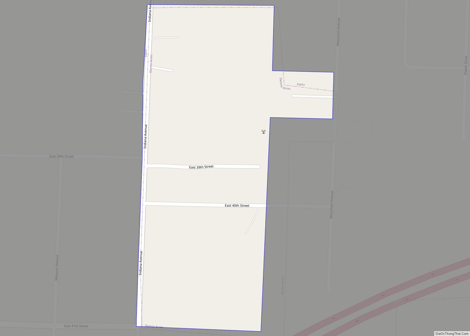
Dennis Acres is a village in Newton County, Missouri, United States. The population was 76 at the 2010 census. Dennis Acres village overview: Name: Dennis Acres village LSAD Code: 47 LSAD Description: village (suffix) State: Missouri County: Newton County Elevation: 1,056 ft (322 m) Total Area: 0.04 sq mi (0.11 km²) Land Area: 0.04 sq mi (0.11 km²) Water Area: 0.00 sq mi (0.00 km²) Total ... Read more
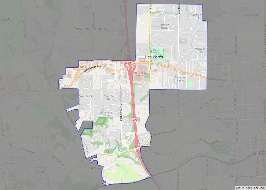
Des Peres (English: /dʌˈpɛər/) is a city in west St. Louis County, Missouri, United States. The population was 8,373 at the 2010 census. Des Peres city overview: Name: Des Peres city LSAD Code: 25 LSAD Description: city (suffix) State: Missouri County: St. Louis County Elevation: 617 ft (188 m) Total Area: 4.32 sq mi (11.20 km²) Land Area: 4.32 sq mi (11.19 km²) ... Read more
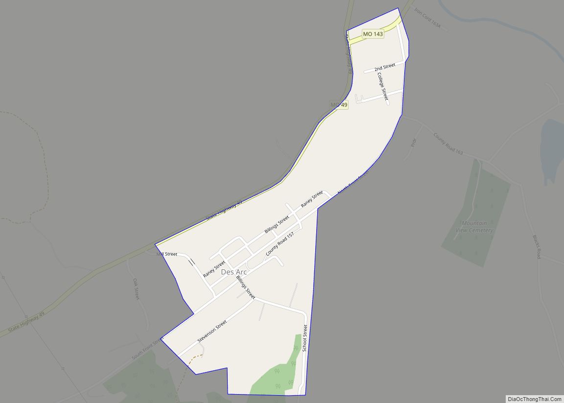
Des Arc is a city in Iron County, Missouri, United States. The population was 131 at the 2020 census. Des Arc village overview: Name: Des Arc village LSAD Code: 47 LSAD Description: village (suffix) State: Missouri County: Iron County Elevation: 538 ft (164 m) Total Area: 0.21 sq mi (0.55 km²) Land Area: 0.21 sq mi (0.55 km²) Water Area: 0.00 sq mi (0.00 km²) Total ... Read more
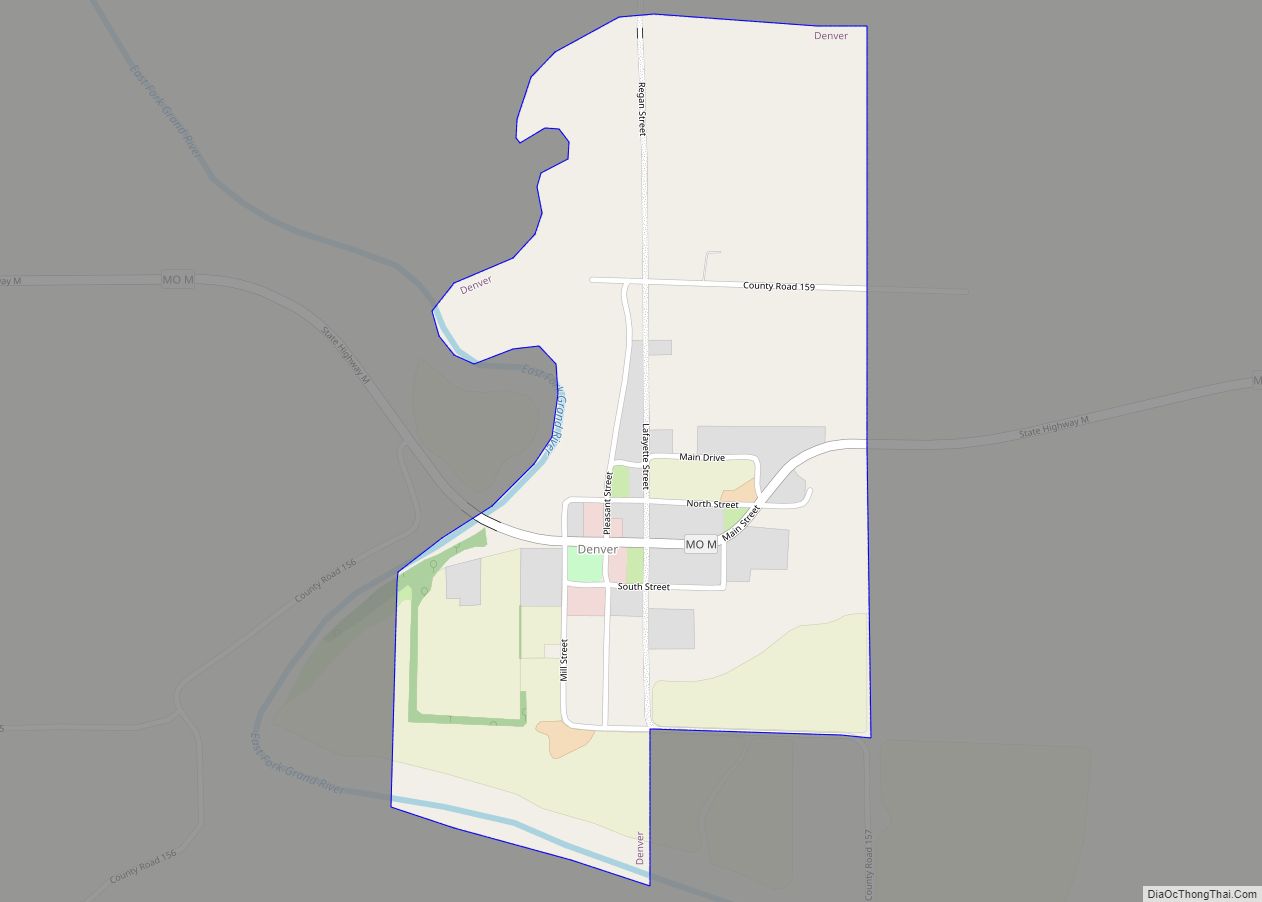
Denver is a rural hamlet in southern Worth County, Missouri, United States. The population was 39 at the 2010 census. Other than two churches, there are no services or any businesses in Denver: a half-block of storefront businesses still standing there are abandoned. Denver village overview: Name: Denver village LSAD Code: 47 LSAD Description: village ... Read more
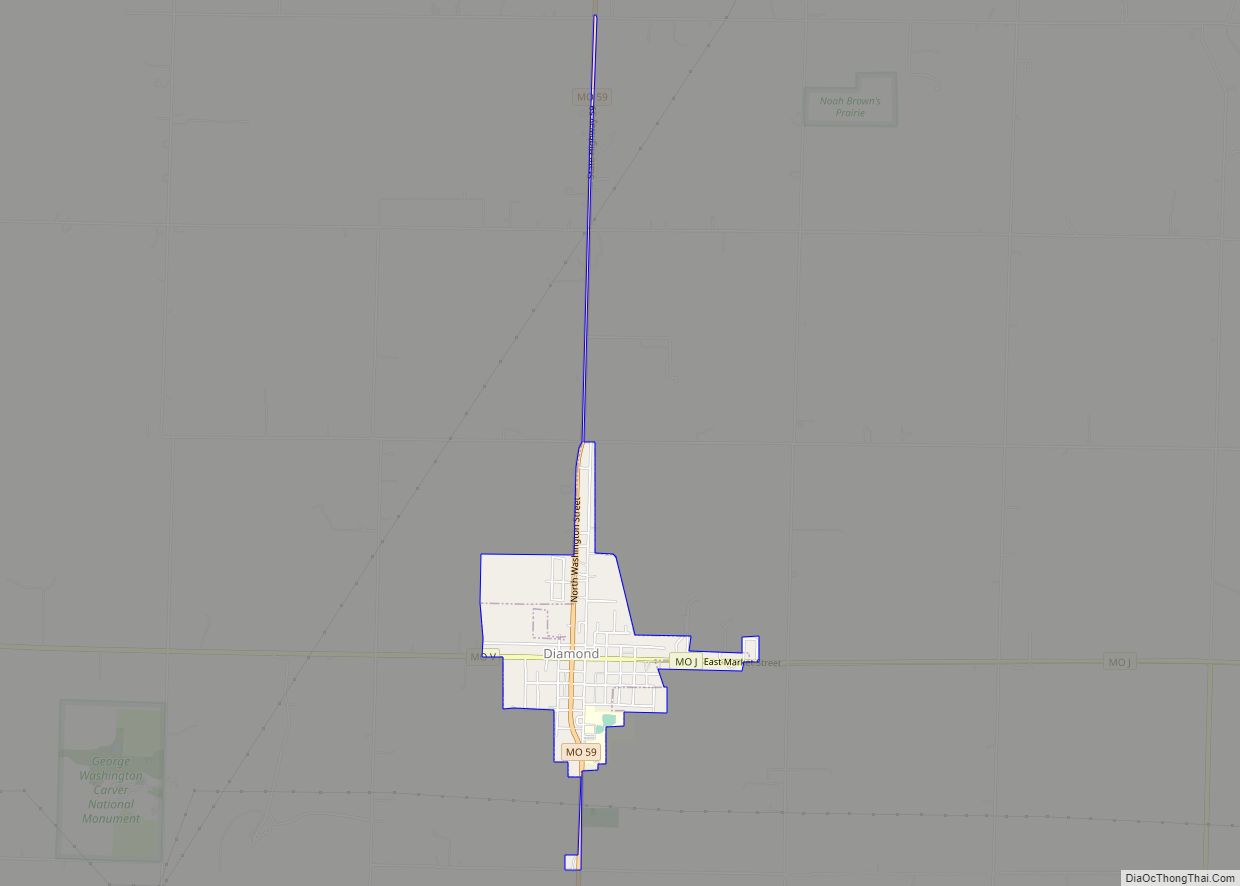
Diamond is a city in north central Newton County, Missouri, United States, located southeast of Joplin. The population was 902 at the 2010 census. It is part of the Joplin, Missouri, Metropolitan Statistical Area. Diamond is primarily renowned as the birthplace of George Washington Carver. Diamond town overview: Name: Diamond town LSAD Code: 43 LSAD ... Read more
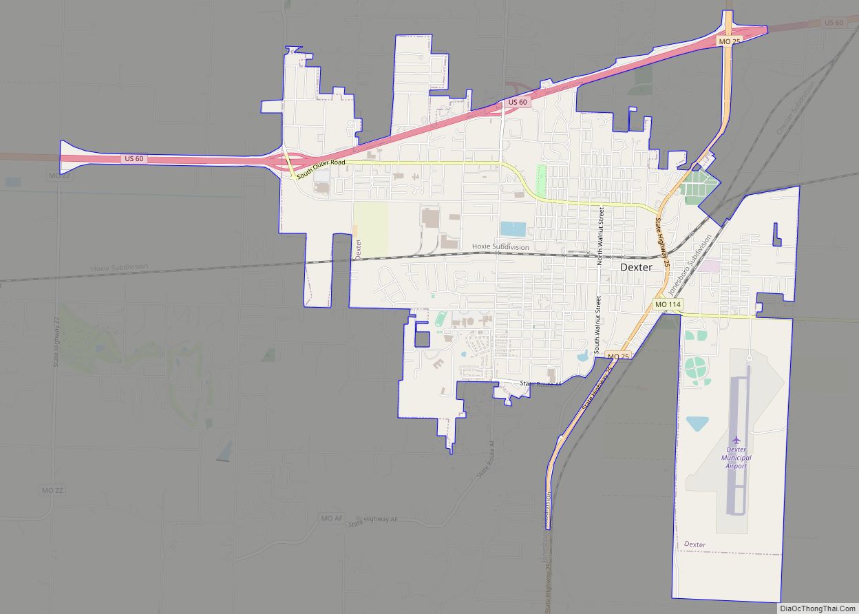
Dexter is a city in Stoddard County, Missouri, United States, founded in 1873. The population was 7,864 at the 2010 census. Dexter city overview: Name: Dexter city LSAD Code: 25 LSAD Description: city (suffix) State: Missouri County: Stoddard County Elevation: 390 ft (120 m) Total Area: 7.34 sq mi (19.01 km²) Land Area: 7.21 sq mi (18.67 km²) Water Area: 0.13 sq mi (0.34 km²) Total ... Read more
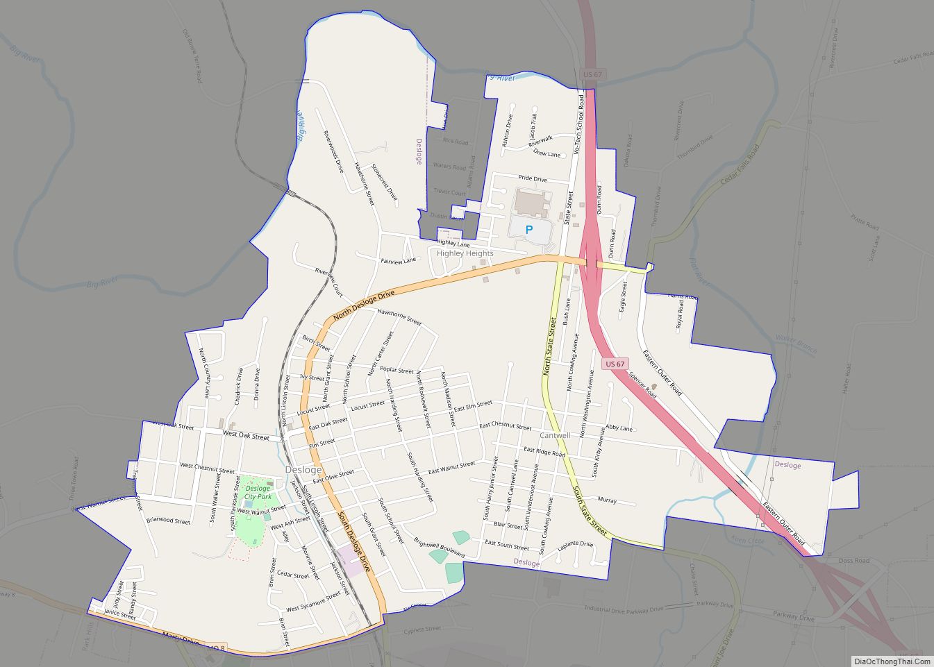
Desloge (/dəˈloʊʒ/ də-LOHZH) is a city in St. Francois County, Missouri, United States. The population was 5,054 as of the 2010 census. Desloge city overview: Name: Desloge city LSAD Code: 25 LSAD Description: city (suffix) State: Missouri County: St. Francois County Incorporated: 1941 Elevation: 794 ft (242 m) Total Area: 2.92 sq mi (7.56 km²) Land Area: 2.92 sq mi (7.56 km²) Water ... Read more
Dixon is a city in northern Pulaski County, Missouri, United States, with a population of 1,549 at the time of the 2010 census. Dixon city overview: Name: Dixon city LSAD Code: 25 LSAD Description: city (suffix) State: Missouri County: Pulaski County Founded: 1869 Elevation: 1,148 ft (350 m) Total Area: 1.04 sq mi (2.71 km²) Land Area: 1.04 sq mi (2.71 km²) Water ... Read more
