Amoret is a city in western Bates County, Missouri, and is part of the Kansas City metropolitan area within the United States. The population was 133 at the 2020 census. Amoret city overview: Name: Amoret city LSAD Code: 25 LSAD Description: city (suffix) State: Missouri County: Bates County Elevation: 846 ft (258 m) Total Area: 0.21 sq mi (0.55 km²) ... Read more
Missouri Cities and Places
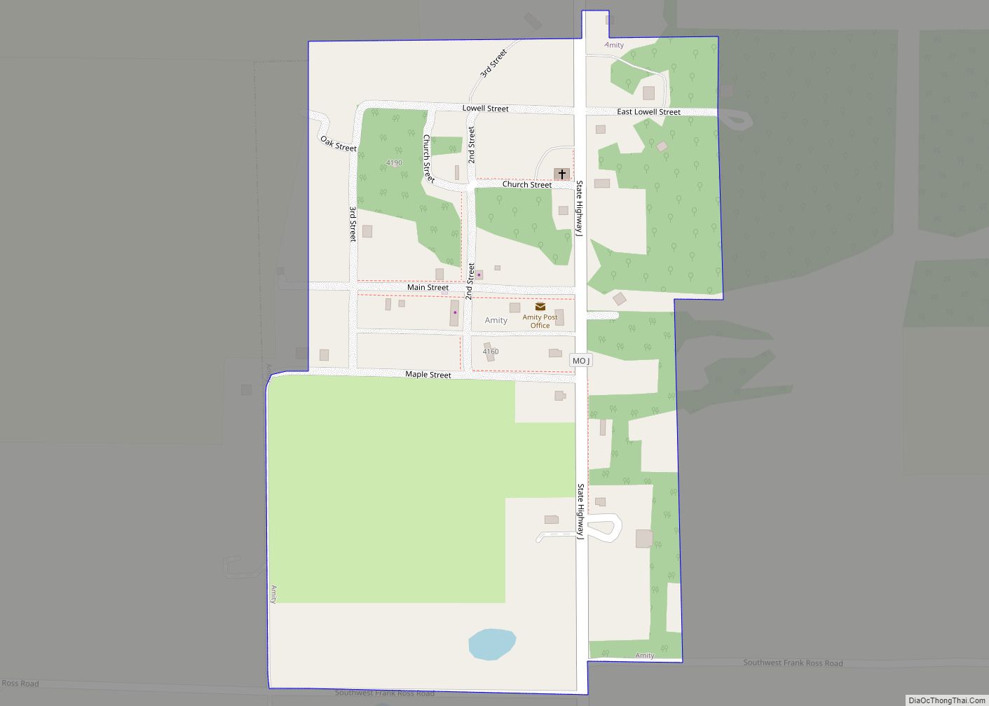
Amity is a village in DeKalb County, Missouri, United States. The population was 26 at the 2020 census. It is part of the St. Joseph, MO–KS Metropolitan Statistical Area. Amity town overview: Name: Amity town LSAD Code: 43 LSAD Description: town (suffix) State: Missouri County: DeKalb County Elevation: 1,047 ft (319 m) Total Area: 0.17 sq mi (0.45 km²) Land ... Read more
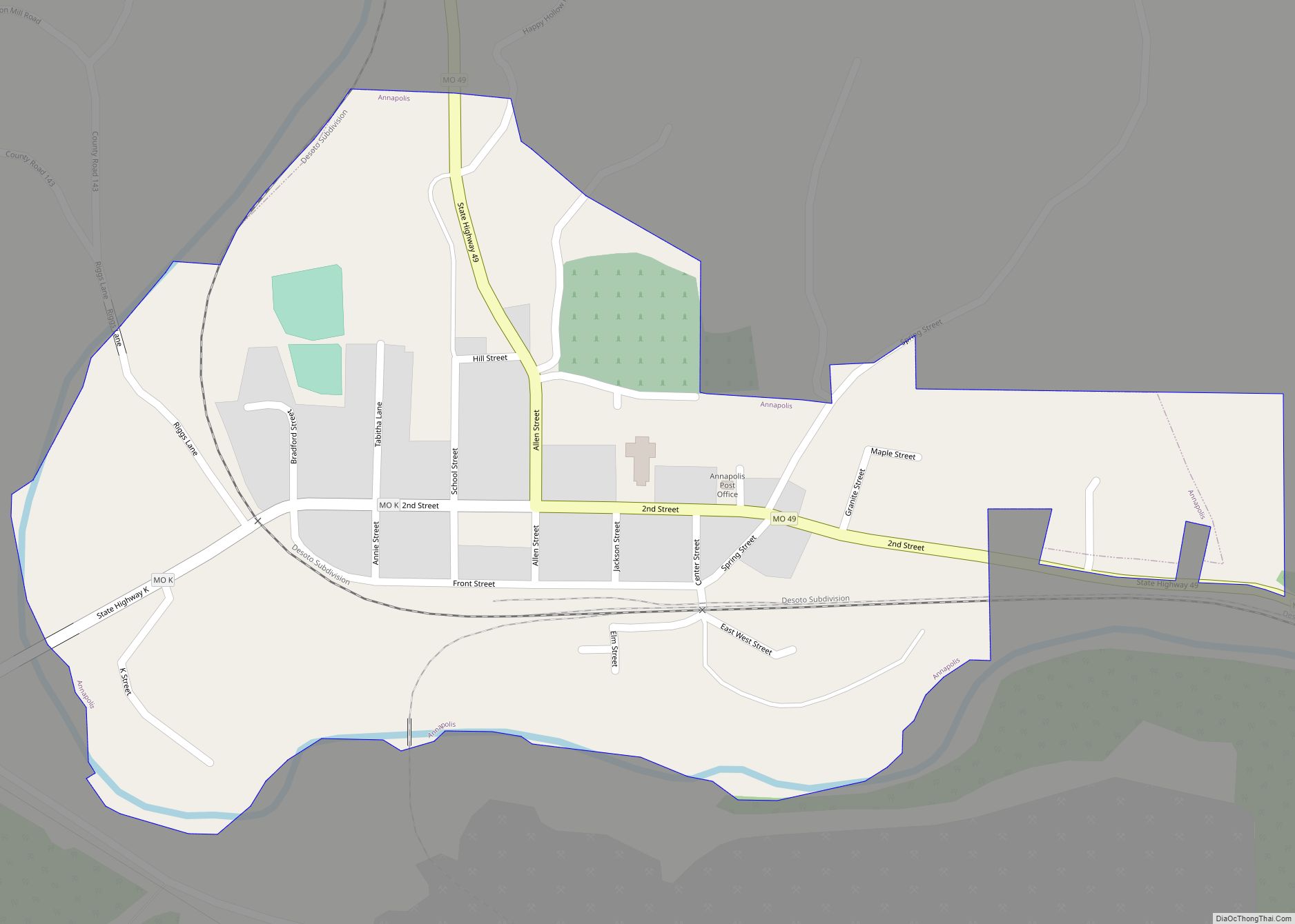
Annapolis is a city located in southern Iron County, Missouri, United States. The population was 250 at the 2020 census. Annapolis city overview: Name: Annapolis city LSAD Code: 25 LSAD Description: city (suffix) State: Missouri County: Iron County Elevation: 650 ft (200 m) Total Area: 0.39 sq mi (1.00 km²) Land Area: 0.37 sq mi (0.97 km²) Water Area: 0.01 sq mi (0.03 km²) Total Population: ... Read more
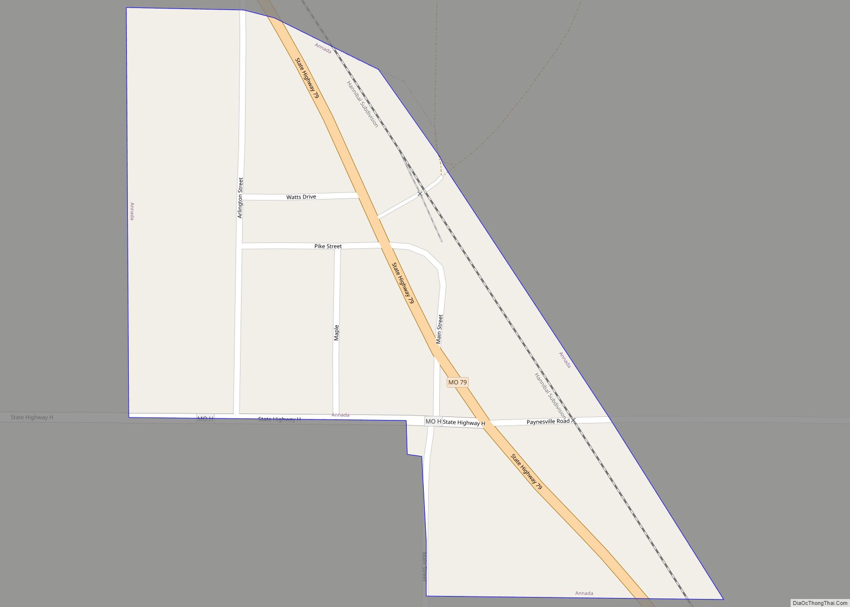
Annada is a village in Pike County, Missouri, United States. The population was 29 at the 2010 census. Annada village overview: Name: Annada village LSAD Code: 47 LSAD Description: village (suffix) State: Missouri County: Pike County Elevation: 449 ft (137 m) Total Area: 0.06 sq mi (0.16 km²) Land Area: 0.06 sq mi (0.16 km²) Water Area: 0.00 sq mi (0.00 km²) Total Population: 14 Population ... Read more
Anderson is a city in McDonald County, Missouri, United States. The population was 1,961 at the 2010 census. Anderson city overview: Name: Anderson city LSAD Code: 25 LSAD Description: city (suffix) State: Missouri County: McDonald County Elevation: 883 ft (269 m) Total Area: 2.27 sq mi (5.89 km²) Land Area: 2.27 sq mi (5.89 km²) Water Area: 0.00 sq mi (0.00 km²) Total Population: 1,981 Population ... Read more
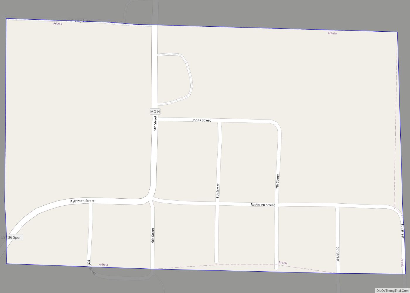
Arbela is a village in Scotland County, Missouri, United States. As of the 2020 census, its population was 24. Arbela town overview: Name: Arbela town LSAD Code: 43 LSAD Description: town (suffix) State: Missouri County: Scotland County Elevation: 679 ft (207 m) Total Area: 0.09 sq mi (0.23 km²) Land Area: 0.09 sq mi (0.23 km²) Water Area: 0.00 sq mi (0.00 km²) Total Population: 24 ... Read more
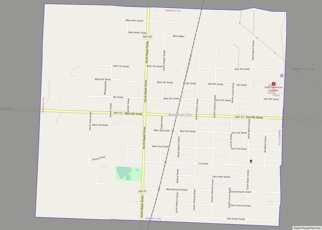
Appleton City is a city in St. Clair County, Missouri, United States. The population was 1,032 as of the 2020 census. It is the largest city in St. Clair County. Appleton City city overview: Name: Appleton City city LSAD Code: 25 LSAD Description: city (suffix) State: Missouri County: St. Clair County Incorporated: 1870 Elevation: 873 ft ... Read more
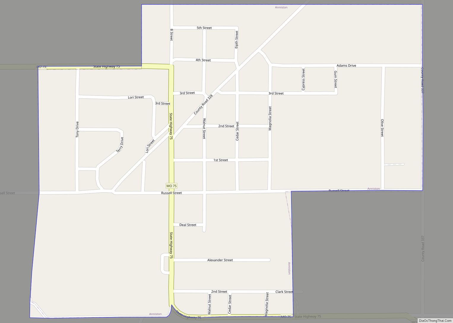
Anniston is a city in Mississippi County, Missouri, United States. The population was 180 at the 2020 census. Anniston town overview: Name: Anniston town LSAD Code: 43 LSAD Description: town (suffix) State: Missouri County: Mississippi County Elevation: 312 ft (95 m) Total Area: 0.39 sq mi (1.01 km²) Land Area: 0.39 sq mi (1.01 km²) Water Area: 0.00 sq mi (0.00 km²) Total Population: 180 Population ... Read more
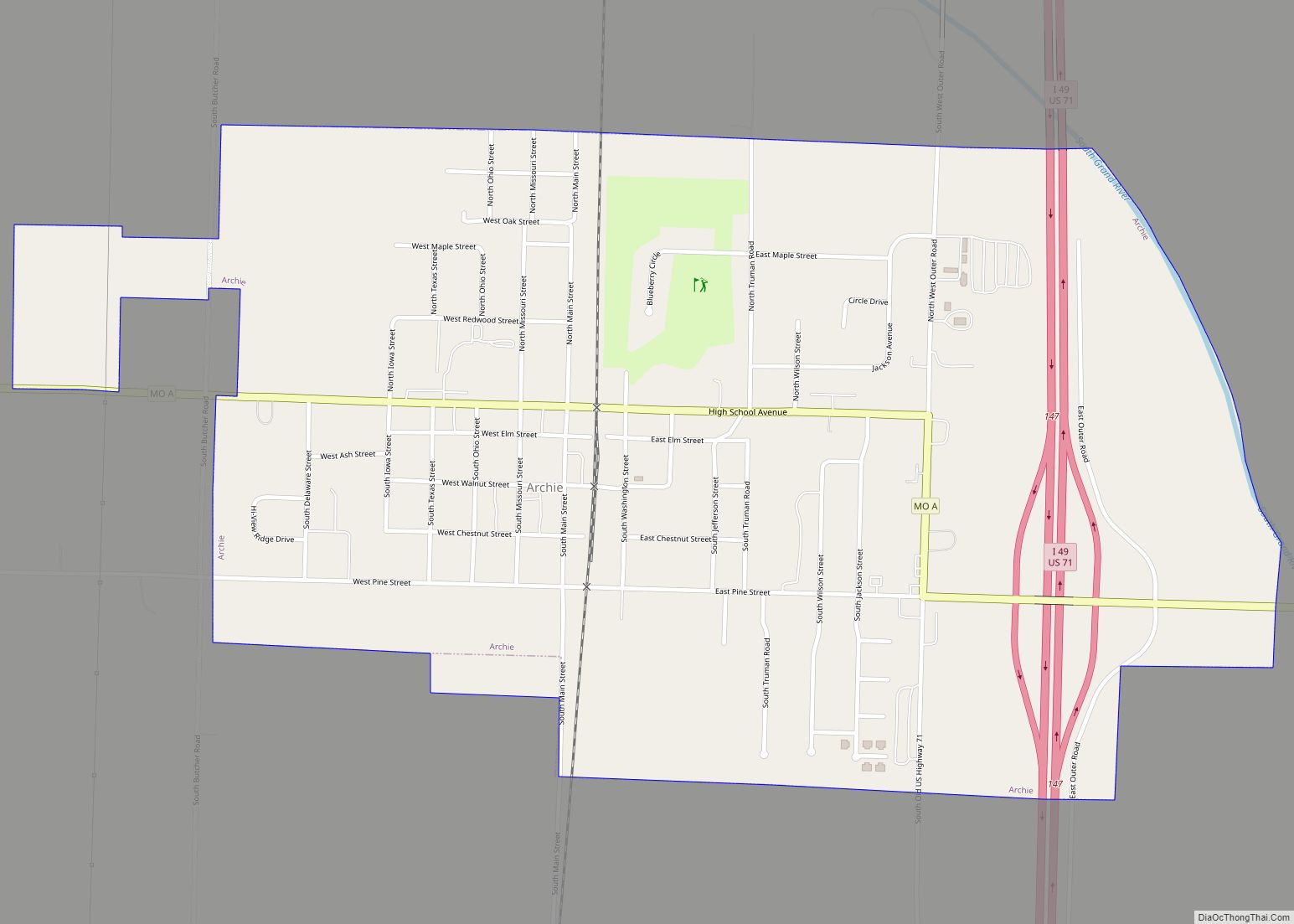
Archie is a city in southern Cass County, Missouri. The city is part of the Kansas City metropolitan statistical area within the United States. The population was 1,170 at the 2010 census. Archie city overview: Name: Archie city LSAD Code: 25 LSAD Description: city (suffix) State: Missouri County: Cass County Elevation: 820 ft (250 m) Total Area: ... Read more
Arcadia is a city in Iron County, Missouri, United States. The population was 618 at the 2020 census. Arcadia city overview: Name: Arcadia city LSAD Code: 25 LSAD Description: city (suffix) State: Missouri County: Iron County Elevation: 922 ft (281 m) Total Area: 0.84 sq mi (2.17 km²) Land Area: 0.83 sq mi (2.14 km²) Water Area: 0.01 sq mi (0.03 km²) Total Population: 618 Population ... Read more
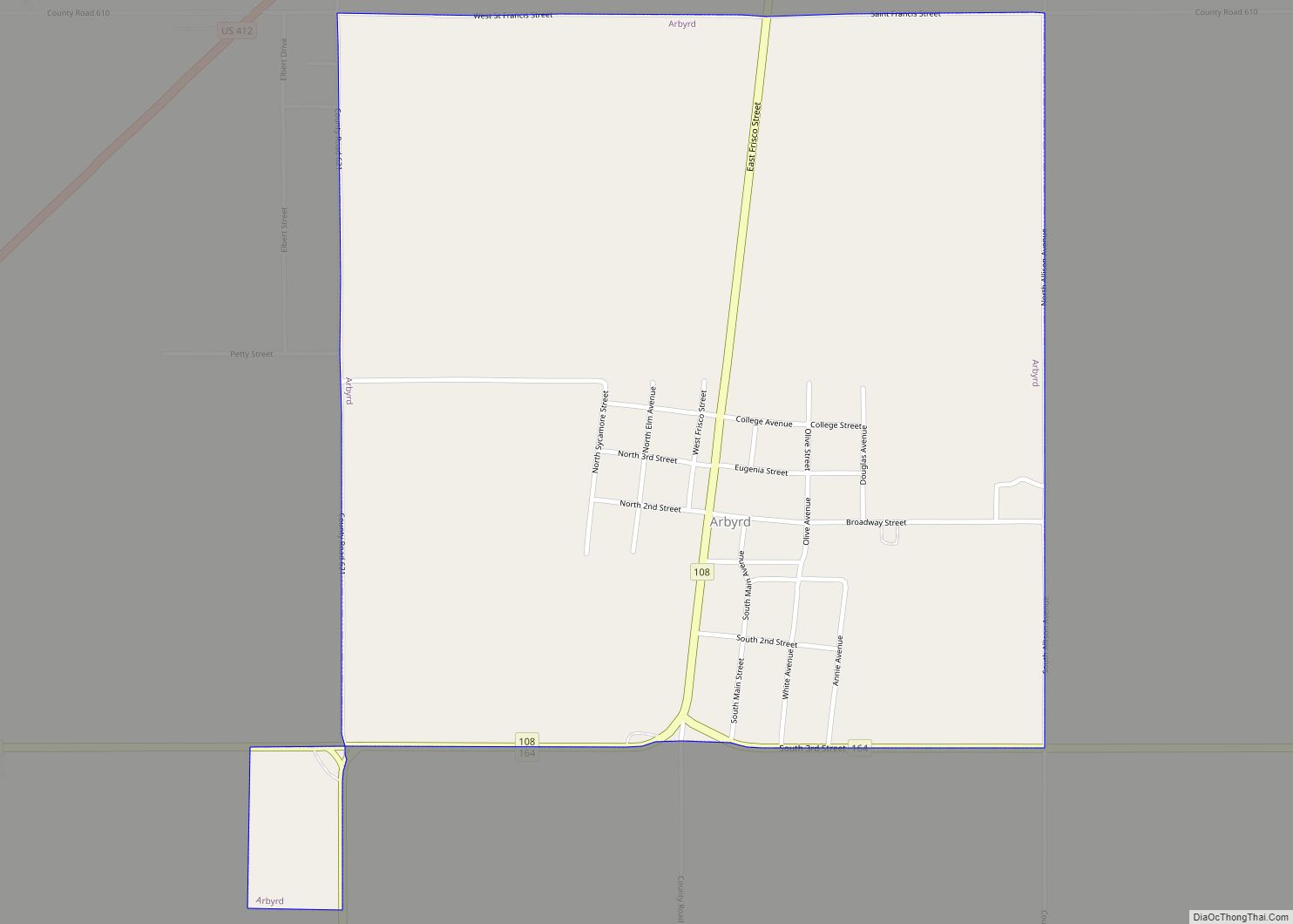
Arbyrd is a small town in southeast Dunklin County, Missouri, United States. The population was 404 at the 2020 census. The town was officially incorporated in 1919. Arbyrd city overview: Name: Arbyrd city LSAD Code: 25 LSAD Description: city (suffix) State: Missouri County: Dunklin County Elevation: 246 ft (75 m) Total Area: 1.00 sq mi (2.60 km²) Land Area: 1.00 sq mi ... Read more
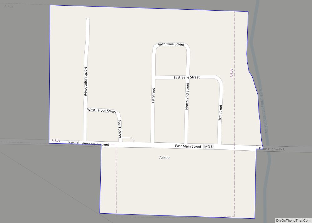
Arkoe is a village in Nodaway County, Missouri, United States. The population was 68 at the 2010 census. Arkoe town overview: Name: Arkoe town LSAD Code: 43 LSAD Description: town (suffix) State: Missouri County: Nodaway County Elevation: 984 ft (300 m) Total Area: 0.13 sq mi (0.33 km²) Land Area: 0.13 sq mi (0.33 km²) Water Area: 0.00 sq mi (0.00 km²) Total Population: 56 Population ... Read more

