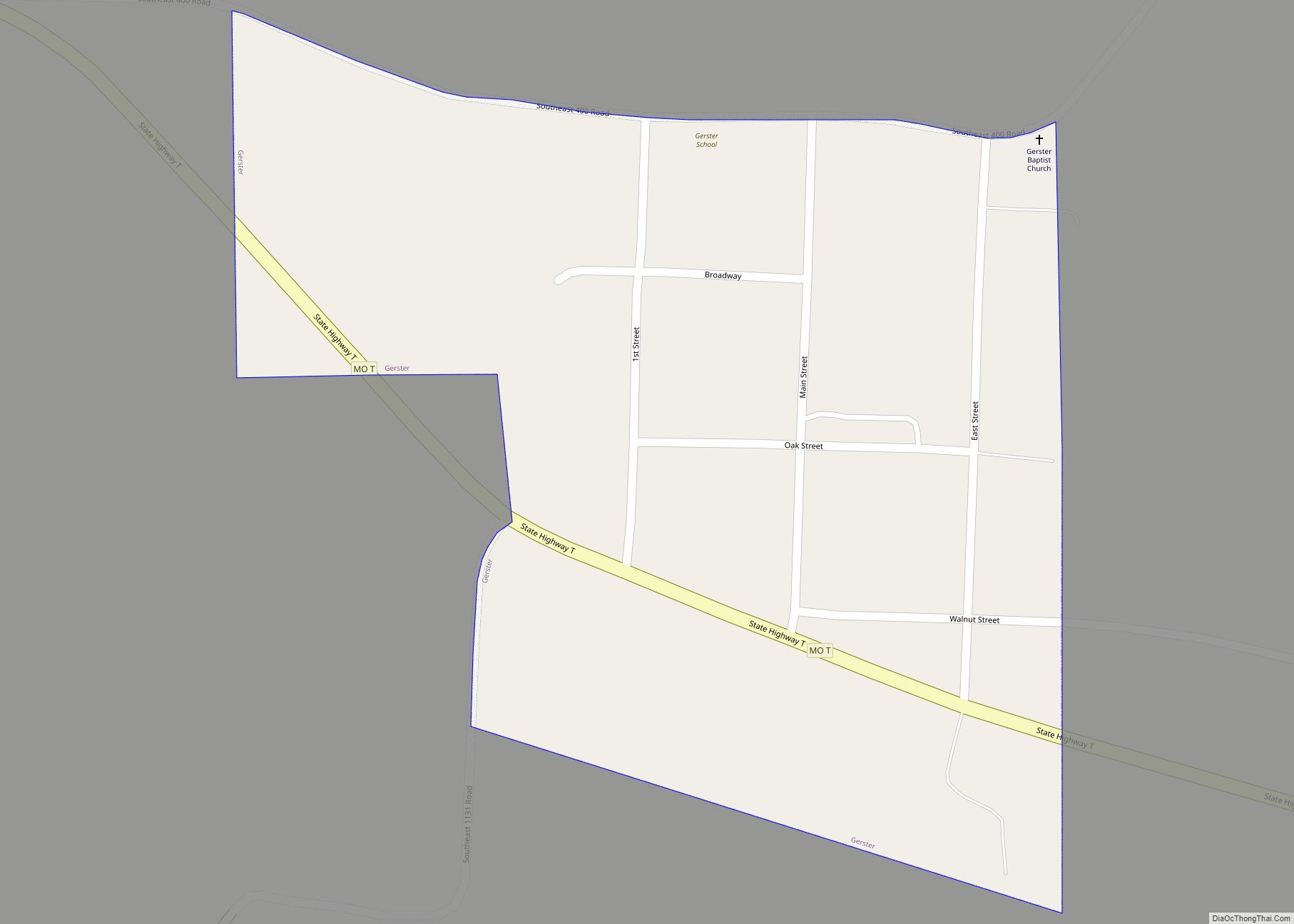
Gerster is a town in St. Clair County, Missouri, United States. The population was 21 at the 2020 census. Gerster town overview: Name: Gerster town LSAD Code: 43 LSAD Description: town (suffix) State: Missouri County: St. Clair County Elevation: 807 ft (246 m) Total Area: 0.08 sq mi (0.21 km²) Land Area: 0.08 sq mi (0.21 km²) Water Area: 0.00 sq mi (0.00 km²) Total Population: ... Read more
Missouri Cities and Places
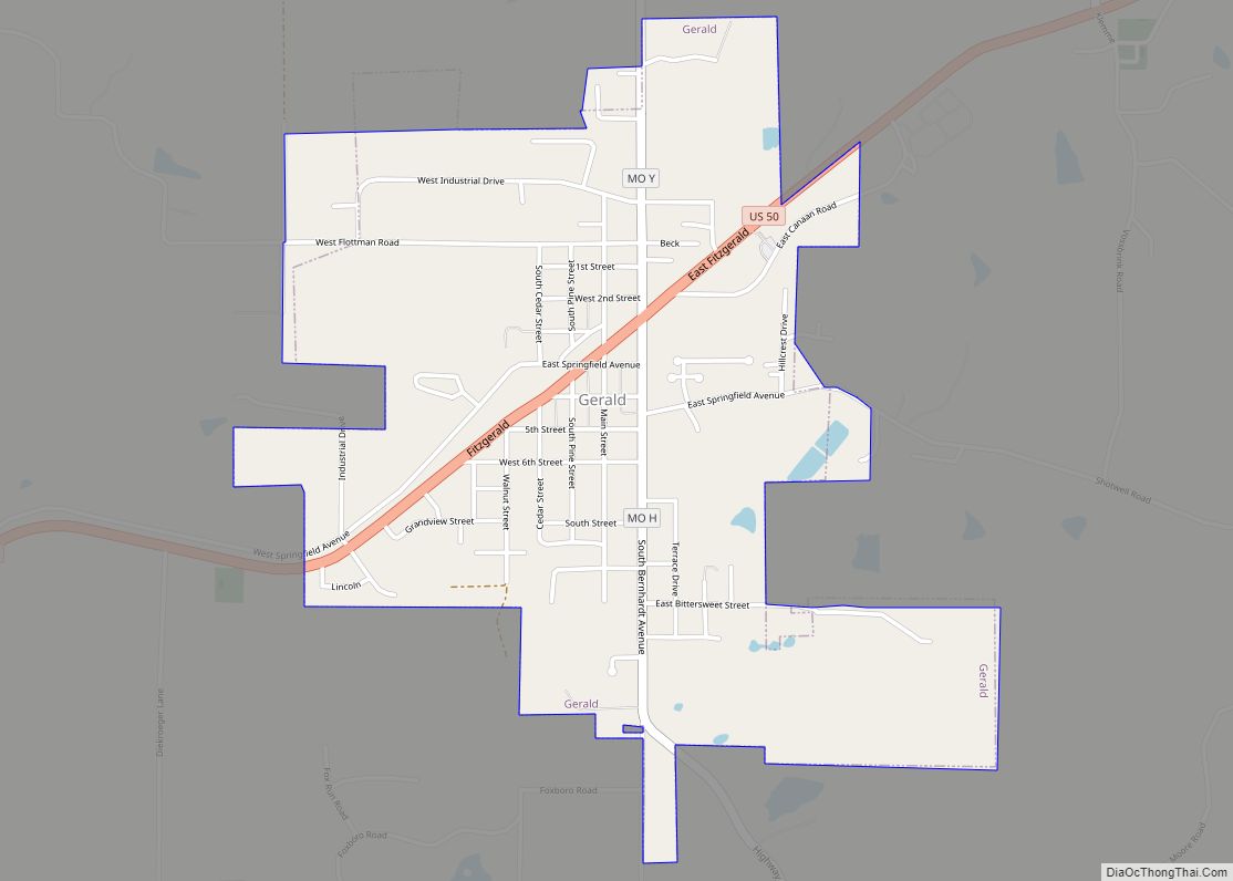
Gerald is a city in western Franklin County, Missouri, United States. The population was 1,361 at the 2020 census. Gerald city overview: Name: Gerald city LSAD Code: 25 LSAD Description: city (suffix) State: Missouri County: Franklin County Elevation: 906 ft (276 m) Total Area: 1.49 sq mi (3.85 km²) Land Area: 1.48 sq mi (3.83 km²) Water Area: 0.01 sq mi (0.02 km²) Total Population: 1,361 ... Read more
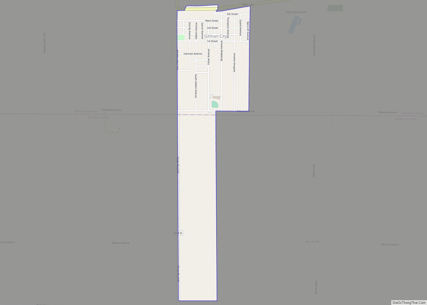
Gilman City is a city in southeastern Harrison and extending into northeastern Daviess counties in the U.S. state of Missouri. The population was 329 at the 2020 census. Gilman City city overview: Name: Gilman City city LSAD Code: 25 LSAD Description: city (suffix) State: Missouri County: Daviess County, Harrison County Elevation: 981 ft (299 m) Total Area: ... Read more
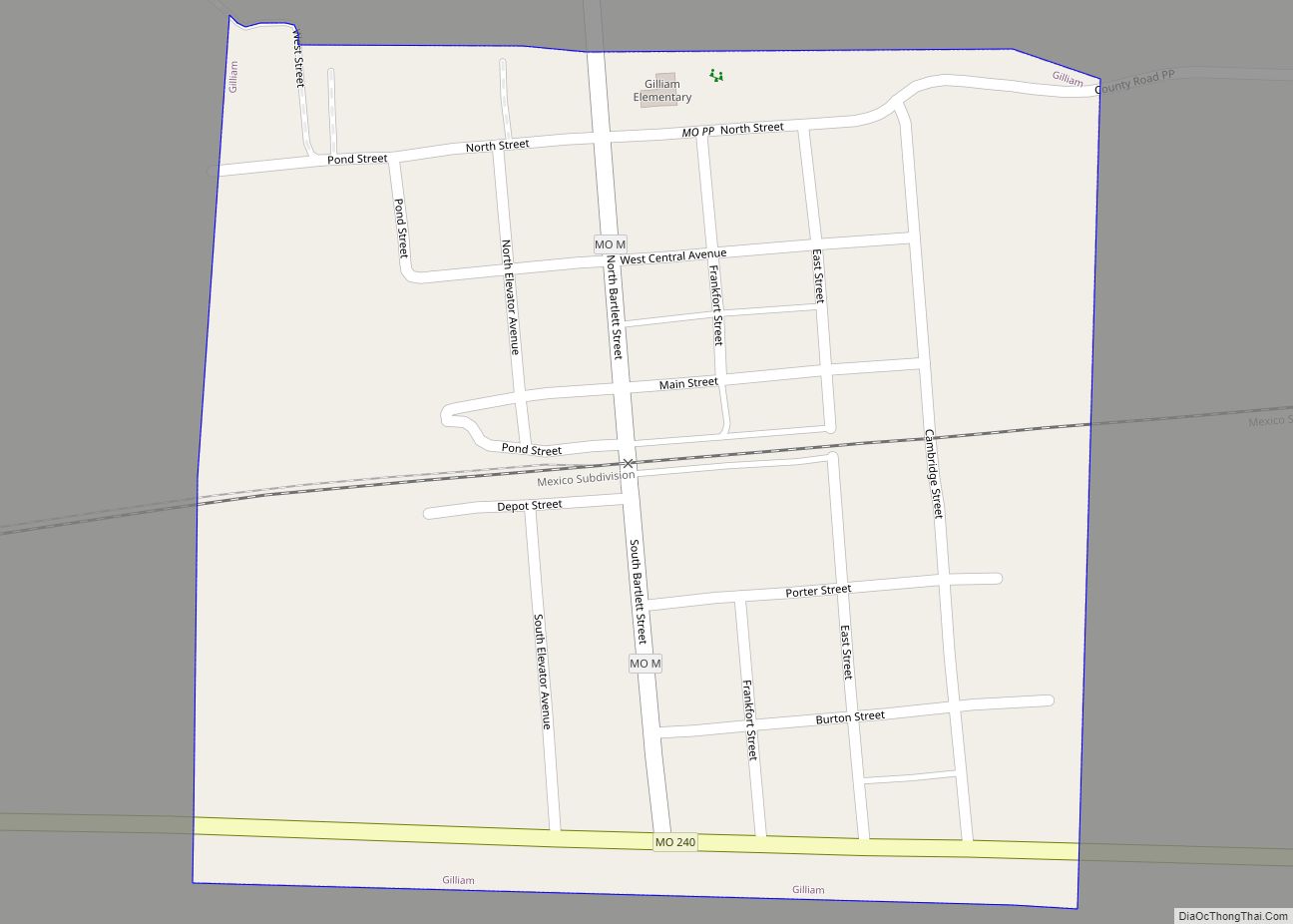
Gilliam is a city in Saline County, Missouri, United States. The population was 197 at the 2010 census. Gilliam city overview: Name: Gilliam city LSAD Code: 25 LSAD Description: city (suffix) State: Missouri County: Saline County Elevation: 820 ft (250 m) Total Area: 0.25 sq mi (0.64 km²) Land Area: 0.25 sq mi (0.64 km²) Water Area: 0.00 sq mi (0.00 km²) Total Population: 175 Population ... Read more
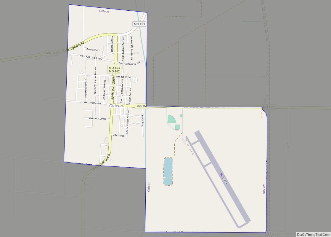
Gideon is a city in New Madrid County, Missouri, United States. The population was 1,093 at the 2010 census. Gideon city overview: Name: Gideon city LSAD Code: 25 LSAD Description: city (suffix) State: Missouri County: New Madrid County Elevation: 269 ft (82 m) Total Area: 1.80 sq mi (4.66 km²) Land Area: 1.79 sq mi (4.64 km²) Water Area: 0.01 sq mi (0.03 km²) Total Population: ... Read more
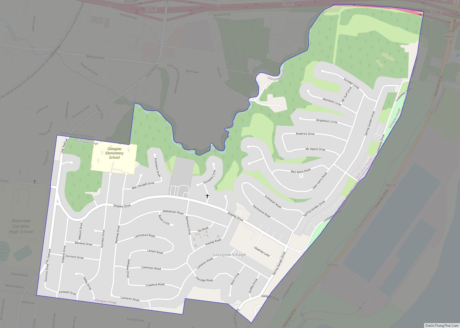
Glasgow Village is a census-designated place (CDP) in St. Louis County, Missouri, United States. The population was 5,429 at the 2010 census. Glasgow Village CDP overview: Name: Glasgow Village CDP LSAD Code: 57 LSAD Description: CDP (suffix) State: Missouri County: St. Louis County Elevation: 472 ft (144 m) Total Area: 0.96 sq mi (2.48 km²) Land Area: 0.96 sq mi (2.48 km²) Water ... Read more
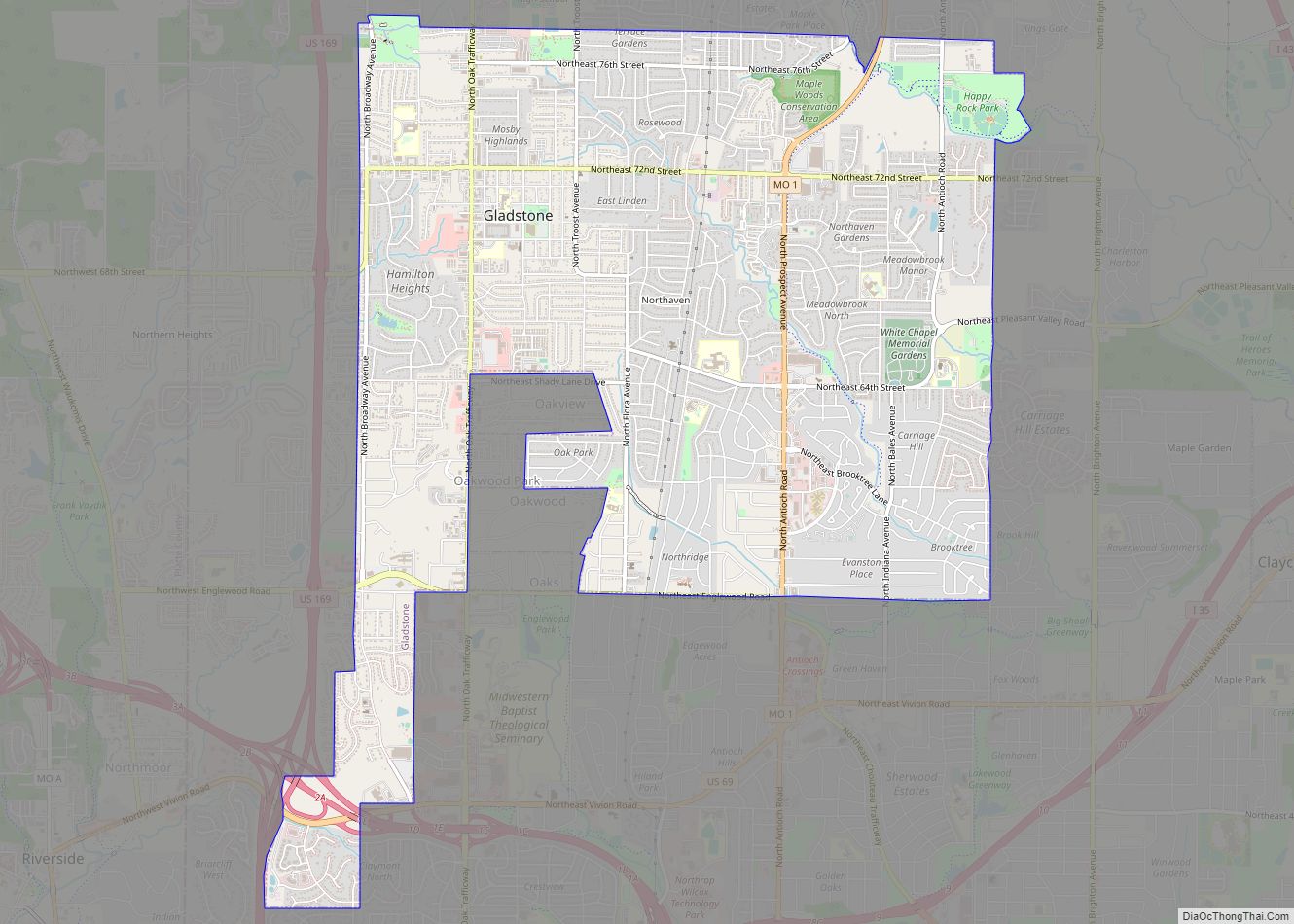
Gladstone is a city in Clay County, Missouri, United States and a suburb of Kansas City. The City of Gladstone is located only 10 minutes from downtown Kansas City, and 10 minutes from Kansas City International Airport. As of the 2020 census, the city population was 27,063. It is part of the Kansas City metropolitan ... Read more
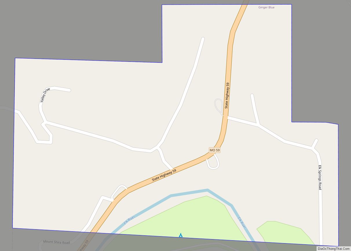
Ginger Blue is an incorporated village in McDonald County, Missouri, United States. The population was 61 at the 2010 census. Ginger Blue village overview: Name: Ginger Blue village LSAD Code: 47 LSAD Description: village (suffix) State: Missouri County: McDonald County Elevation: 843 ft (257 m) Total Area: 0.26 sq mi (0.68 km²) Land Area: 0.26 sq mi (0.68 km²) Water Area: 0.00 sq mi (0.00 km²) ... Read more
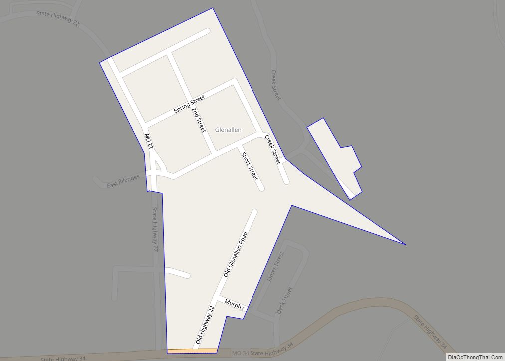
Glen Allen town overview: Name: Glen Allen town LSAD Code: 43 LSAD Description: town (suffix) State: Missouri County: Bollinger County FIPS code: 2927280 Online Interactive Map Glen Allen online map. Source: Basemap layers from Google Map, Open Street Map (OSM), Arcgisonline, Wmflabs. Boundary Data from Database of Global Administrative Areas. Glen Allen location map. Where ... Read more
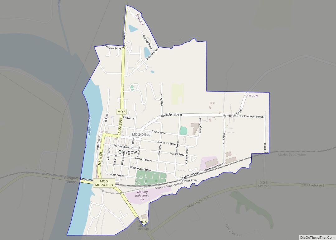
Glasgow is a city on the Missouri River mostly in northwest Howard County and extending into the southeast corner of Chariton County in the U.S. state of Missouri. The population was 1,087 at the 2020 census. The Howard County portion of Glasgow is part of the Columbia, Missouri Metropolitan Statistical Area. Glasgow city overview: Name: ... Read more
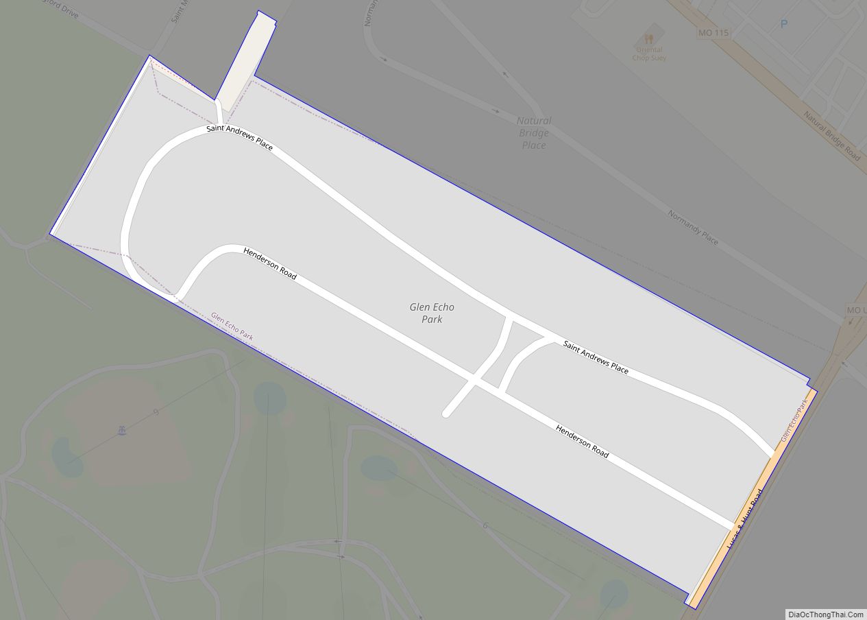
Glen Echo Park is a village in St. Louis County, Missouri, United States. The population was 160 at the 2010 census. The community took its name from the Glen Echo Country Club. Glen Echo Park village overview: Name: Glen Echo Park village LSAD Code: 47 LSAD Description: village (suffix) State: Missouri County: St. Louis County ... Read more
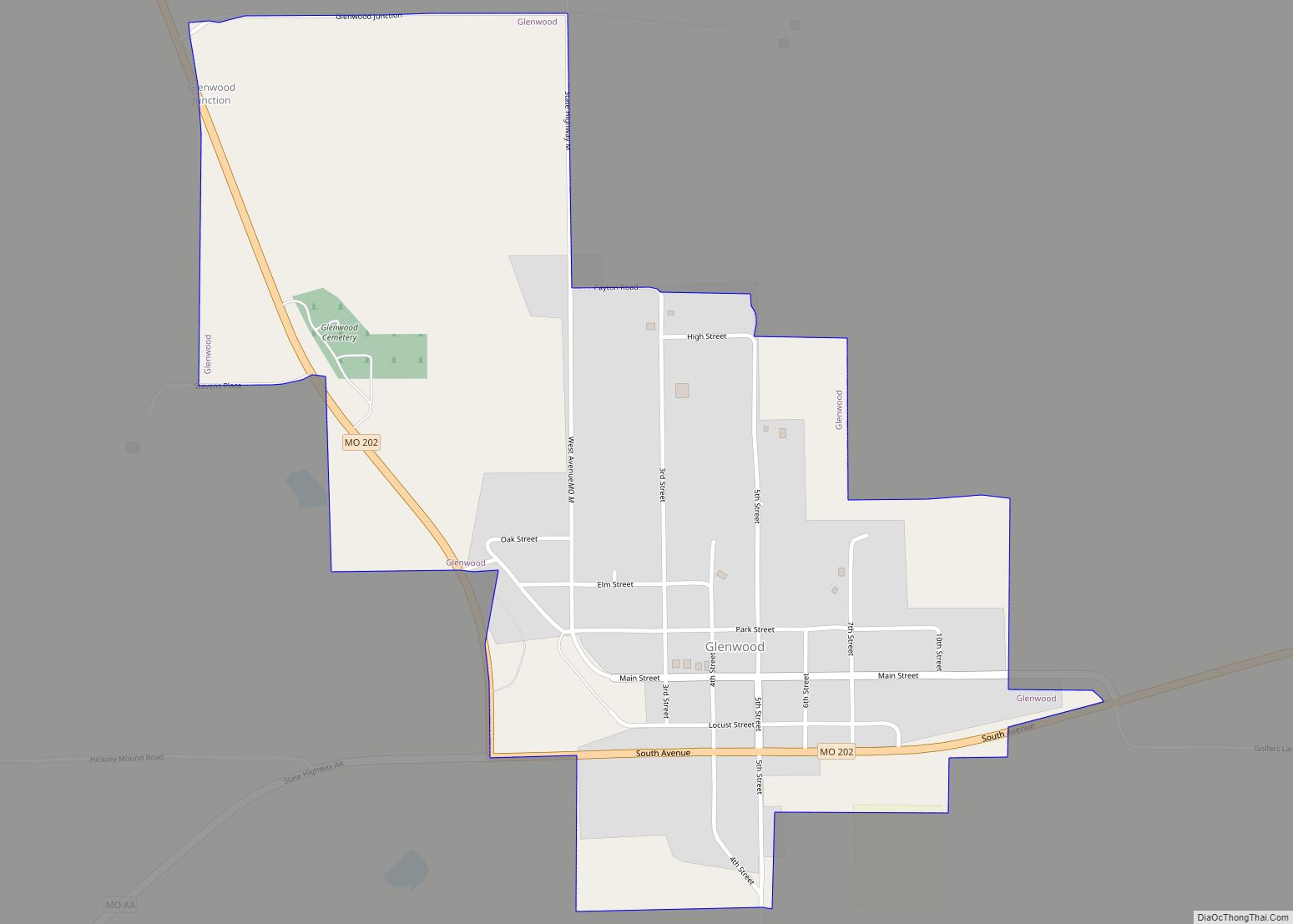
Glenwood is a village in Schuyler County, Missouri, United States. As of the 2020 census, its population was 181. It is part of the Kirksville Micropolitan Statistical Area. Glenwood village overview: Name: Glenwood village LSAD Code: 47 LSAD Description: village (suffix) State: Missouri County: Schuyler County Elevation: 945 ft (288 m) Total Area: 0.74 sq mi (1.92 km²) Land Area: ... Read more
