Map of Higbee city

Map of Higbee city

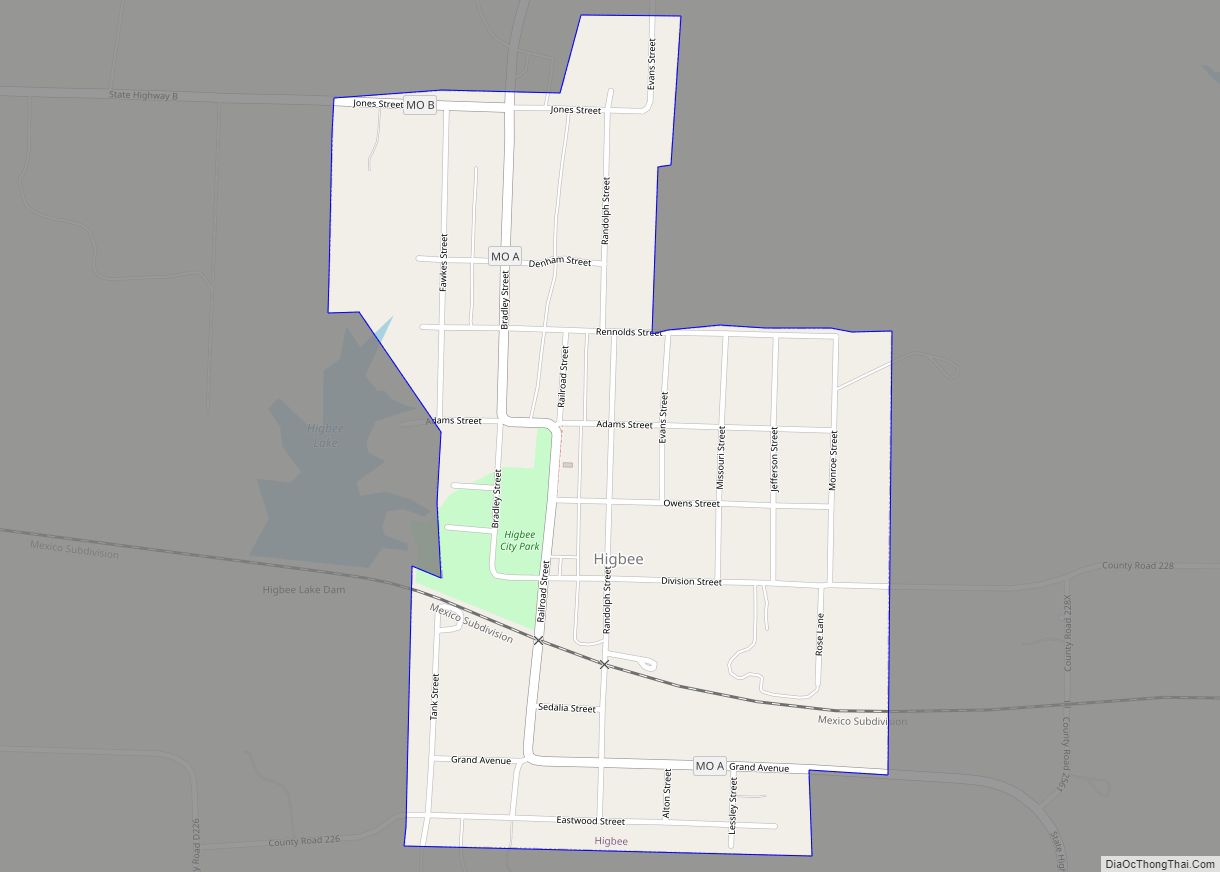
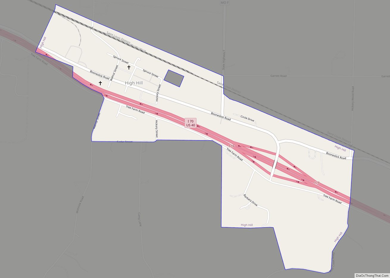
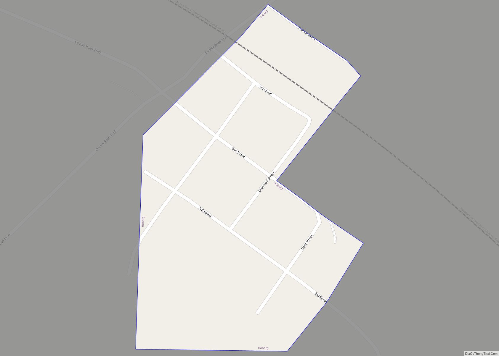
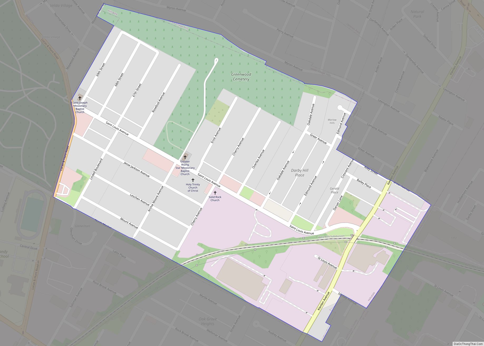
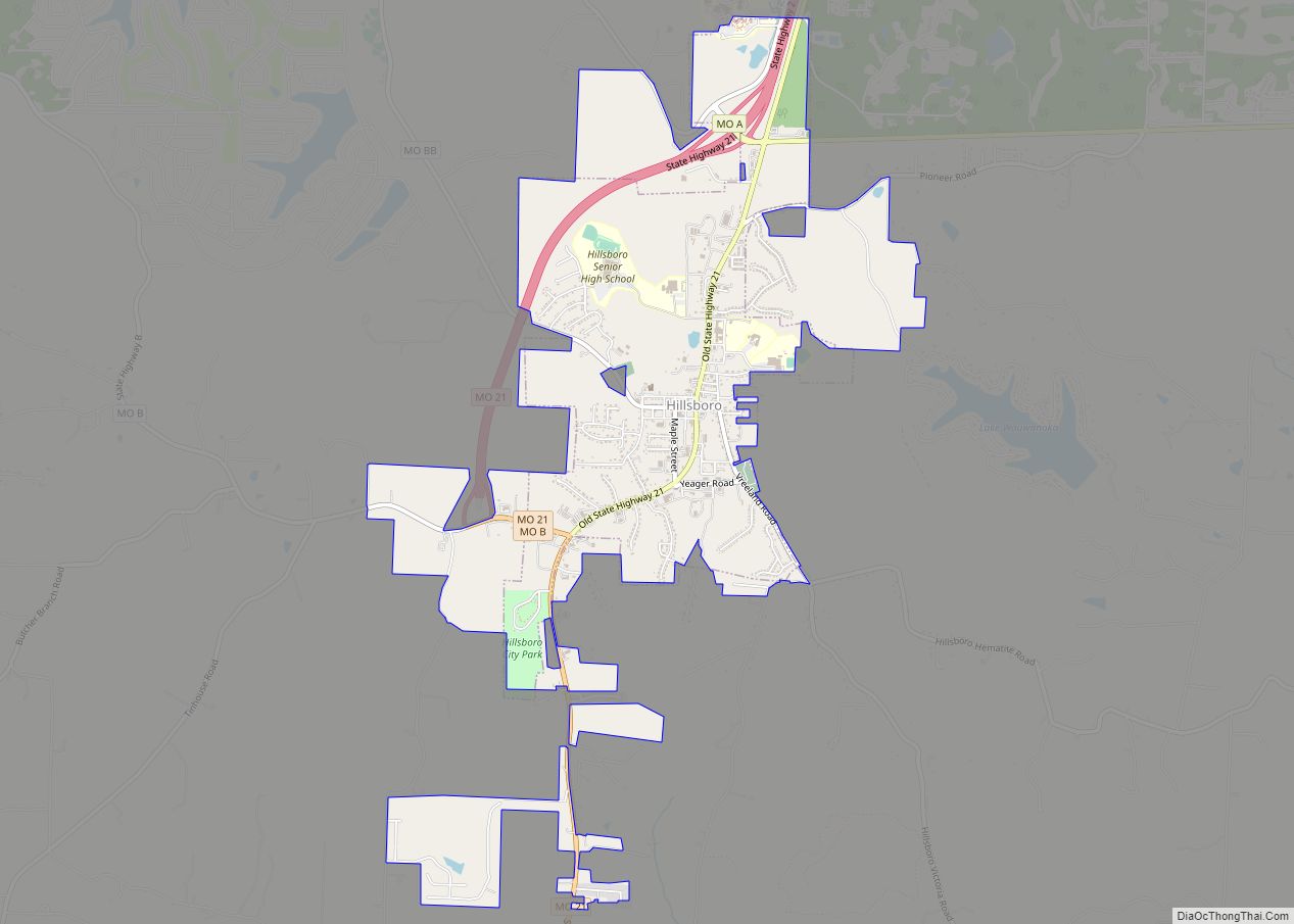
Higbee is a city in southern Randolph County, Missouri, United States. The population was 568 at the 2010 census. Barrel-making company A&K Cooperage, Barrel 53 Cooperage and Woodsmen Distilling are based in Higbee. Higbee city overview: Name: Higbee city LSAD Code: 25 LSAD Description: city (suffix) State: Missouri County: Randolph County Elevation: 879 ft (268 m) Total … Read more

Map of Hermitage city, Missouri

Map of Hermitage city, Missouri

Hermitage is a city in Hickory County, Missouri, United States, on the Pomme de Terre River. The population was 621 at the 2020 census. It is the county seat of Hickory County. The John Siddles Williams House on Museum Street in Hermitage, on the National Register of Historic Places since 1980, houses the Hickory County … Read more

Map of Highlandville city

Map of Highlandville city

Highlandville is a city in Christian County, Missouri, United States. The population was 963 at the 2020 census. It is part of the Springfield, Missouri Metropolitan Statistical Area. Highlandville city overview: Name: Highlandville city LSAD Code: 25 LSAD Description: city (suffix) State: Missouri County: Christian County Elevation: 1,381 ft (421 m) Total Area: 4.93 sq mi (12.76 km²) Land Area: … Read more

Map of High Ridge CDP

Map of High Ridge CDP

High Ridge is an unincorporated community and census-designated place (CDP) in Jefferson County, Missouri, United States. The population was 4,305 at the 2010 census. At 927 feet (283 m) above sea level, High Ridge is the second-highest point in Jefferson County, second only to Sun Ridge, north of Hillsboro, according to data from the House Springs/Hillsboro … Read more

Map of High Hill city

Map of High Hill city

High Hill is a city in Montgomery County, Missouri, United States. The population was 186 at the 2020 census. High Hill city overview: Name: High Hill city LSAD Code: 25 LSAD Description: city (suffix) State: Missouri County: Montgomery County Elevation: 896 ft (273 m) Total Area: 0.46 sq mi (1.19 km²) Land Area: 0.46 sq mi (1.19 km²) Water Area: 0.00 sq mi (0.00 km²) Total … Read more

Map of Hoberg village

Map of Hoberg village

Hoberg is a village in Lawrence County, Missouri, United States. The population was 48 at the 2020 census. Hoberg village overview: Name: Hoberg village LSAD Code: 47 LSAD Description: village (suffix) State: Missouri County: Lawrence County Elevation: 1,165 ft (355 m) Total Area: 0.05 sq mi (0.14 km²) Land Area: 0.05 sq mi (0.14 km²) Water Area: 0.00 sq mi (0.00 km²) Total Population: 48 Population … Read more

Map of Hillsdale village, Missouri

Map of Hillsdale village, Missouri

Hillsdale is a village in St. Louis County, Missouri, United States. The population was 1,478 at the 2010 census. Hillsdale village overview: Name: Hillsdale village LSAD Code: 47 LSAD Description: village (suffix) State: Missouri County: St. Louis County Elevation: 604 ft (184 m) Total Area: 0.34 sq mi (0.89 km²) Land Area: 0.34 sq mi (0.89 km²) Water Area: 0.00 sq mi (0.00 km²) Total Population: … Read more

Map of Hillsboro city, Missouri

Map of Hillsboro city, Missouri

Hillsboro is a city in Jefferson County, Missouri, United States. The population was 3,473 at the 2020 census, up from 2,821 in 2010. Hillsboro is the county seat of Jefferson County. Hillsboro city overview: Name: Hillsboro city LSAD Code: 25 LSAD Description: city (suffix) State: Missouri County: Jefferson County Incorporated: 1839 Elevation: 771 ft (235 m) Total … Read more

Map of Holland town, Missouri

Map of Holland town, Missouri

Holland is a town in Pemiscot County, Missouri, United States. The population was 194 at the 2020 census. Holland town overview: Name: Holland town LSAD Code: 43 LSAD Description: town (suffix) State: Missouri County: Pemiscot County Elevation: 256 ft (78 m) Total Area: 0.17 sq mi (0.43 km²) Land Area: 0.17 sq mi (0.43 km²) Water Area: 0.00 sq mi (0.00 km²) Total Population: 194 Population … Read more

Map of Holden city

Map of Holden city, Missouri

Holden is a city in western Johnson County, Missouri, United States. The population was 2,252 at the 2010 census. Holden city overview: Name: Holden city LSAD Code: 25 LSAD Description: city (suffix) State: Missouri County: Johnson County Elevation: 853 ft (260 m) Total Area: 2.42 sq mi (6.26 km²) Land Area: 2.41 sq mi (6.24 km²) Water Area: 0.01 sq mi (0.02 km²) Total Population: 2,210 … Read more

Map of Holcomb city, Missouri

Map of Holcomb city, Missouri

Holcomb /ˈhɔːkəm/ HAW-kəm is a city in Dunklin County, Missouri, United States. The population was 635 at the 2010 census. Holcomb city overview: Name: Holcomb city LSAD Code: 25 LSAD Description: city (suffix) State: Missouri County: Dunklin County Elevation: 276 ft (84 m) Total Area: 0.58 sq mi (1.51 km²) Land Area: 0.58 sq mi (1.51 km²) Water Area: 0.00 sq mi (0.00 km²) Total Population: … Read more

Map of Hollister city, Missouri

Map of Hollister city, Missouri

Hollister is a city in Taney County, Missouri, United States. The population was 4,583 at the 2020 census. Hollister city overview: Name: Hollister city LSAD Code: 25 LSAD Description: city (suffix) State: Missouri County: Taney County Elevation: 728 ft (222 m) Total Area: 6.37 sq mi (16.49 km²) Land Area: 6.33 sq mi (16.41 km²) Water Area: 0.03 sq mi (0.08 km²) Total Population: 4,583 Population … Read more