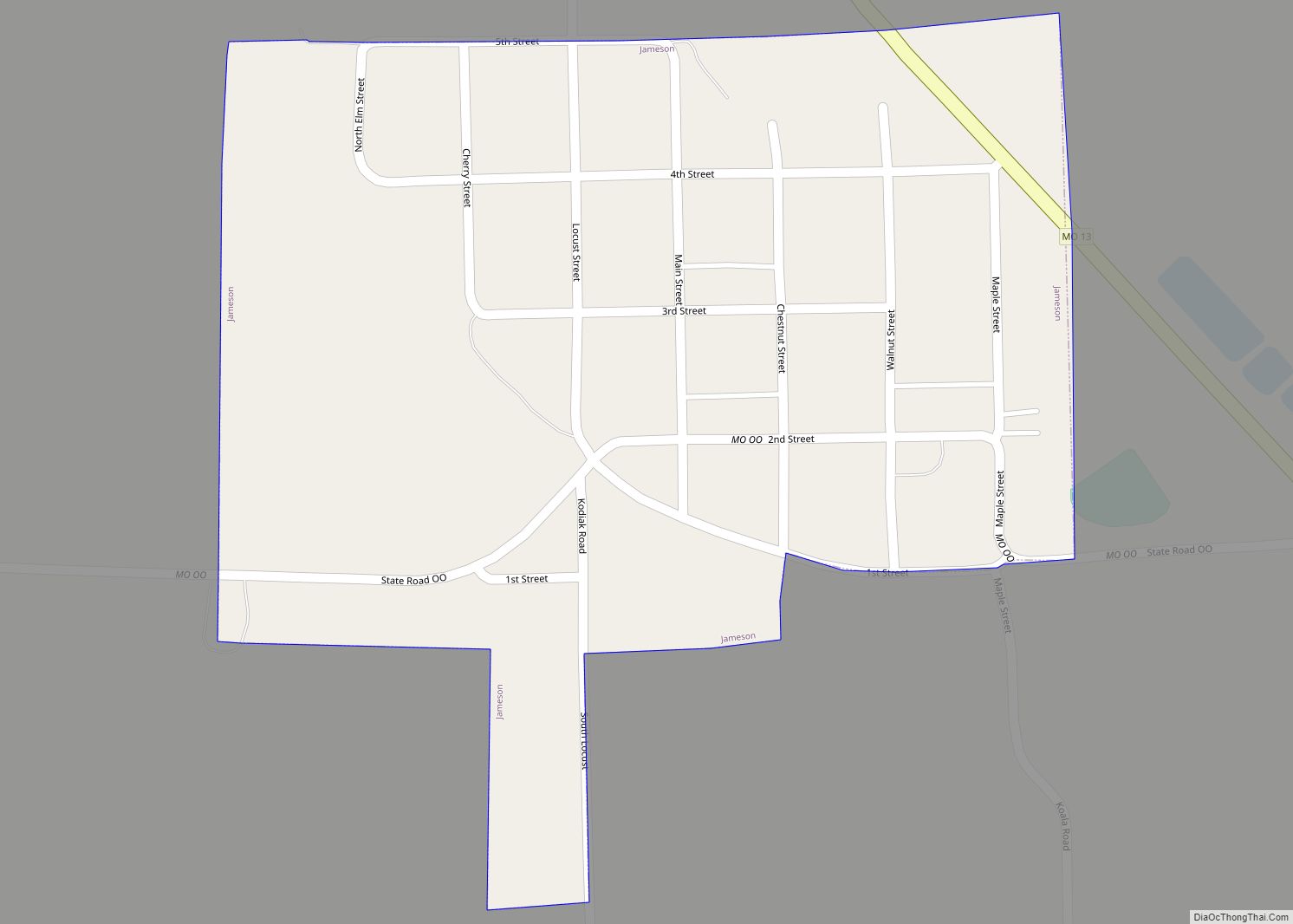
Jameson is a village in Daviess County, Missouri, United States. The population was 73 at the 2020 census. Jameson town overview: Name: Jameson town LSAD Code: 43 LSAD Description: town (suffix) State: Missouri County: Daviess County Elevation: 833 ft (254 m) Total Area: 0.22 sq mi (0.58 km²) Land Area: 0.22 sq mi (0.58 km²) Water Area: 0.00 sq mi (0.00 km²) Total Population: 73 Population ... Read more
Missouri Cities and Places
Jacksonville is a village in Randolph County, Missouri, United States. The population was 151 at the 2010 census. Jacksonville village overview: Name: Jacksonville village LSAD Code: 47 LSAD Description: village (suffix) State: Missouri County: Randolph County Elevation: 863 ft (263 m) Total Area: 0.11 sq mi (0.29 km²) Land Area: 0.11 sq mi (0.29 km²) Water Area: 0.00 sq mi (0.00 km²) Total Population: 122 Population ... Read more
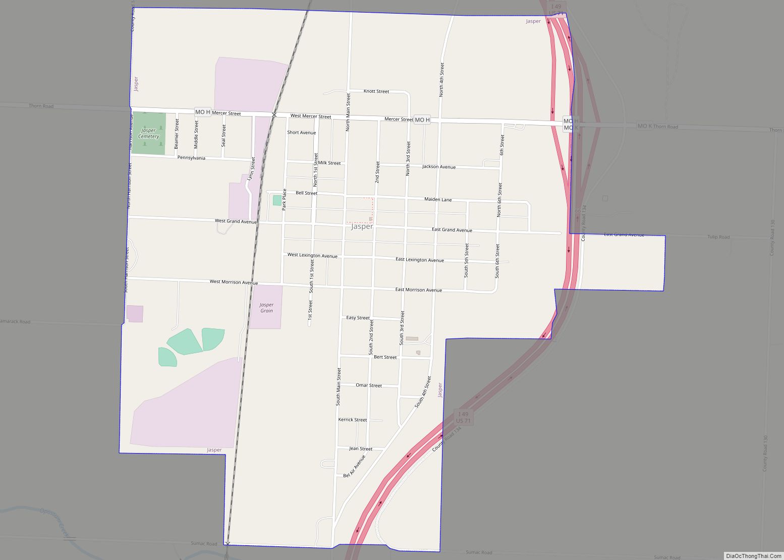
Jasper is a city in Jasper County, Missouri, United States. The population within the city limits was 931 at the 2010 census. It is part of the Joplin, Missouri Metropolitan Statistical Area. Jasper city overview: Name: Jasper city LSAD Code: 25 LSAD Description: city (suffix) State: Missouri County: Jasper County Elevation: 945 ft (288 m) Total Area: ... Read more
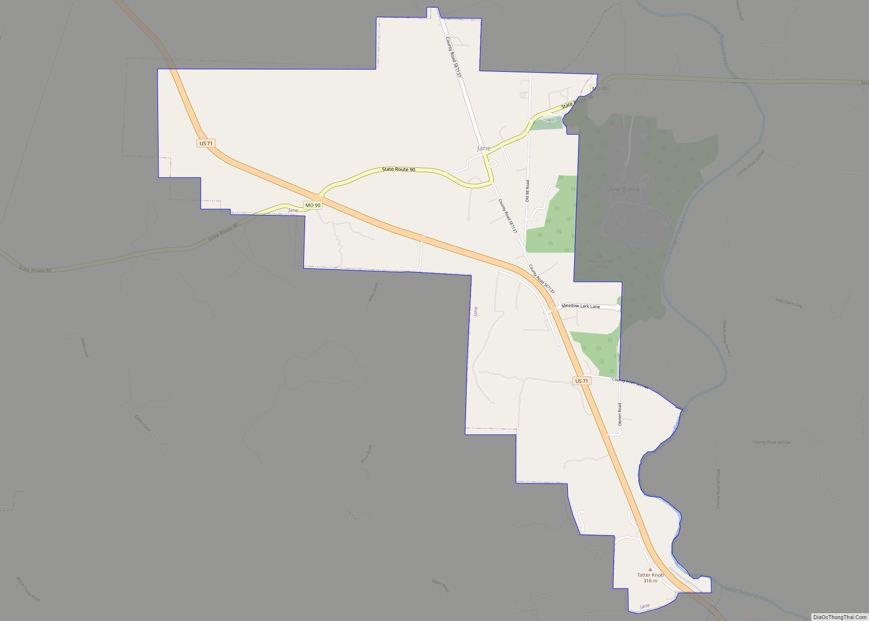
Jane is a village in McDonald County, Missouri, United States. It is located on Route 90 at its intersection with U.S. Route 71. The original settlement is approximately one mile east on an older alignment of US 71. It had been an unincorporated community for many years, and previously had the ZIP code of 64846, ... Read more
Jamestown is a village in northeastern Moniteau County, Missouri, United States. The population was 386 at the 2010 census. It is part of the Jefferson City, Missouri Metropolitan Statistical Area. Jamestown town overview: Name: Jamestown town LSAD Code: 43 LSAD Description: town (suffix) State: Missouri County: Moniteau County Founded: 1846 Incorporated: 1850 Elevation: 869 ft (265 m) ... Read more
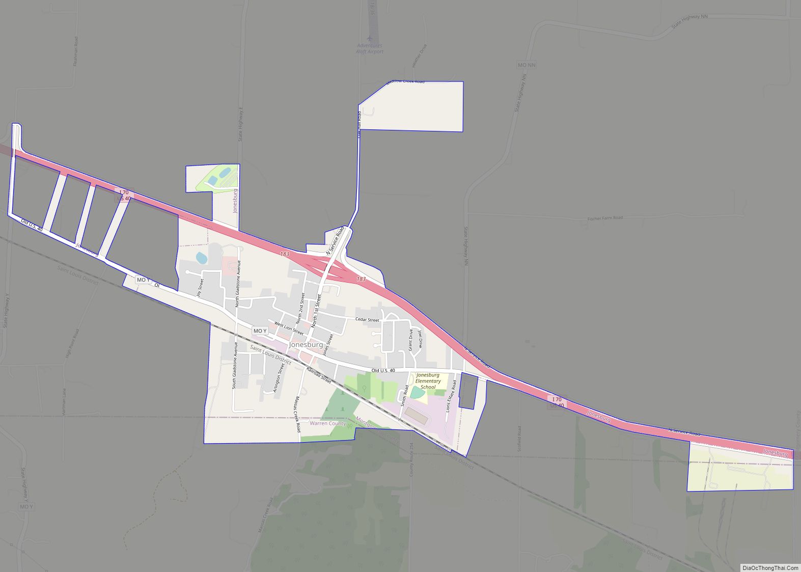
Jonesburg is a city in Montgomery County, Missouri, United States. The population was 726 at the 2020 census. Jonesburg city overview: Name: Jonesburg city LSAD Code: 25 LSAD Description: city (suffix) State: Missouri County: Montgomery County Elevation: 889 ft (271 m) Total Area: 1.53 sq mi (3.98 km²) Land Area: 1.53 sq mi (3.98 km²) Water Area: 0.00 sq mi (0.00 km²) Total Population: 726 Population ... Read more
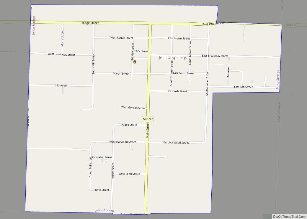
Jerico Springs is a village in Cedar County, Missouri, United States. The population was 160 at the 2020 census. Jerico Springs village overview: Name: Jerico Springs village LSAD Code: 47 LSAD Description: village (suffix) State: Missouri County: Cedar County Elevation: 968 ft (295 m) Total Area: 0.68 sq mi (1.77 km²) Land Area: 0.68 sq mi (1.77 km²) Water Area: 0.00 sq mi (0.00 km²) Total ... Read more
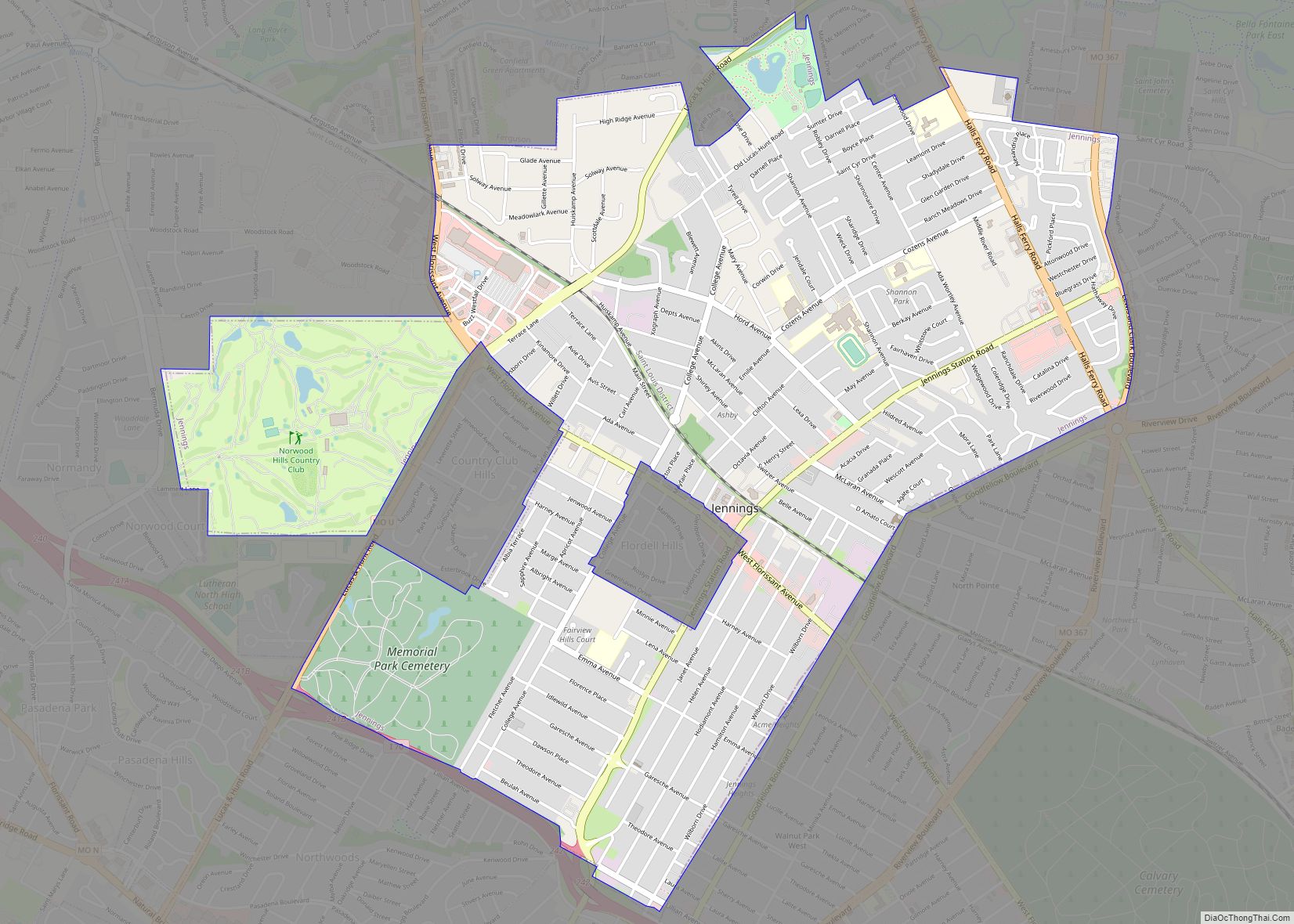
Jennings is a city in St. Louis County, Missouri, United States. Per the 2020 census, the population was 12,895. Jennings city overview: Name: Jennings city LSAD Code: 25 LSAD Description: city (suffix) State: Missouri County: St. Louis County Elevation: 522 ft (159 m) Total Area: 3.73 sq mi (9.67 km²) Land Area: 3.73 sq mi (9.67 km²) Water Area: 0.00 sq mi (0.00 km²) Total Population: ... Read more
Junction City is a village in Madison County, Missouri, United States. The population was 327 at the 2010 census. Junction City village overview: Name: Junction City village LSAD Code: 47 LSAD Description: village (suffix) State: Missouri County: Madison County Elevation: 778 ft (237 m) Total Area: 0.36 sq mi (0.93 km²) Land Area: 0.36 sq mi (0.93 km²) Water Area: 0.00 sq mi (0.01 km²) Total ... Read more
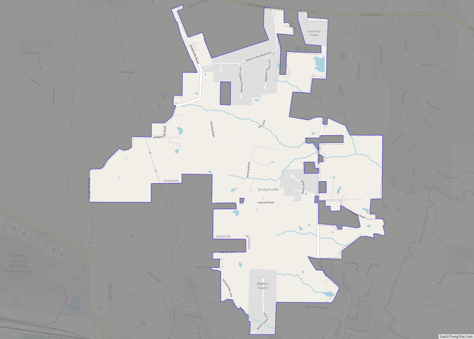
Josephville is a village in St. Charles County, Missouri, United States. The population was 376 at the 2010 census. Josephville village overview: Name: Josephville village LSAD Code: 47 LSAD Description: village (suffix) State: Missouri County: St. Charles County Elevation: 620 ft (189 m) Total Area: 2.85 sq mi (7.38 km²) Land Area: 2.85 sq mi (7.38 km²) Water Area: 0.00 sq mi (0.00 km²) Total Population: ... Read more
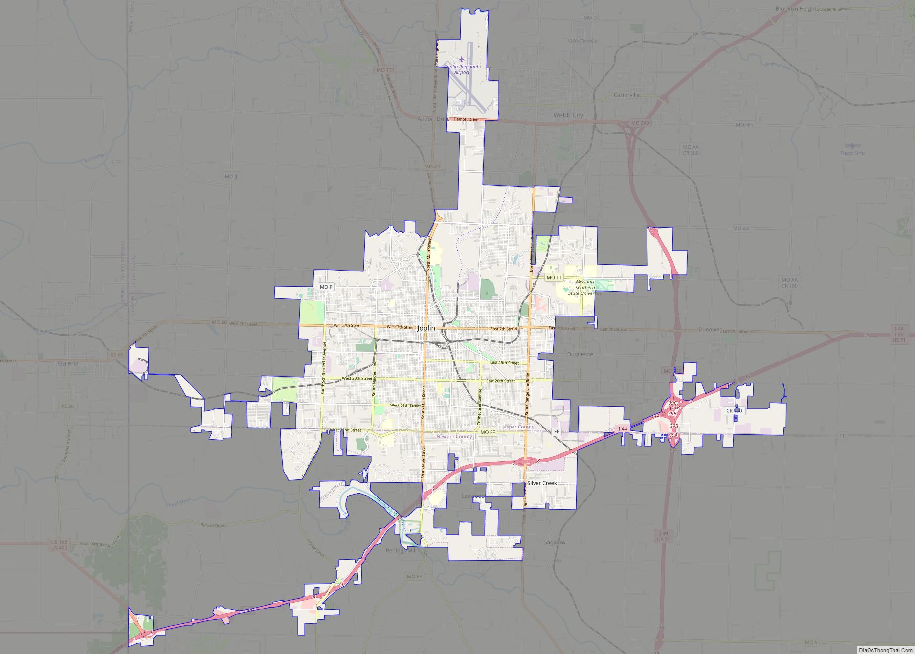
Joplin is a city in Jasper and Newton counties in the southwestern corner of the U.S. state of Missouri. The bulk of the city is in Jasper County, while the southern portion is in Newton County. Joplin is the largest city located within both Jasper and Newton Counties – even though it is not the ... Read more
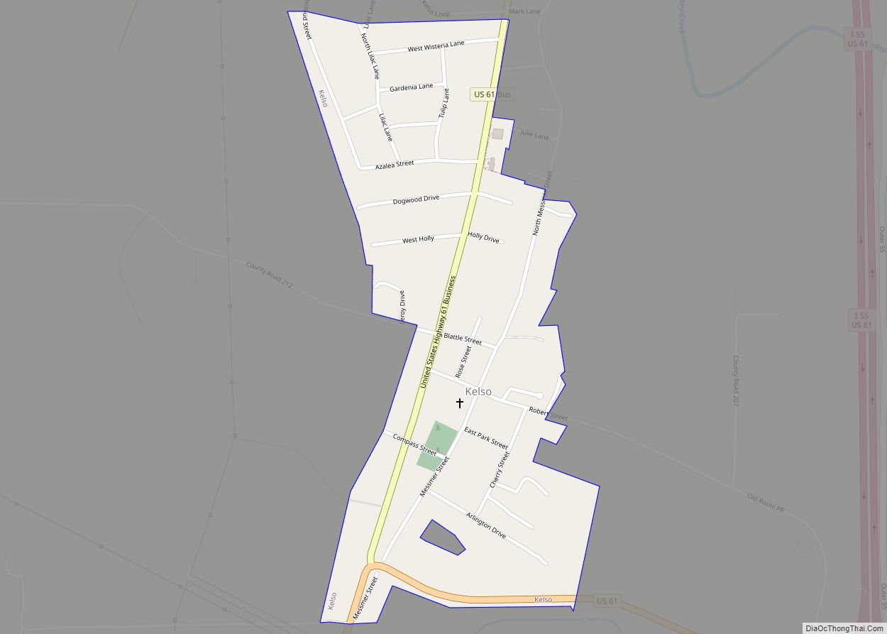
Kelso is a village in Scott County, Missouri, United States. The population was 586 at the 2010 census. The Kelso ZIP code of 63758 is used for residents who wish to receive their mail at the Kelso post office; direct mail delivery in Kelso uses the Scott City ZIP code of 63780. Kelso village overview: ... Read more
