Beverly Hills is a city in St. Louis County, Missouri, United States. As of the 2010 census, the city population was 574. Beverly Hills city overview: Name: Beverly Hills city LSAD Code: 25 LSAD Description: city (suffix) State: Missouri County: St. Louis County Elevation: 627 ft (191 m) Total Area: 0.09 sq mi (0.23 km²) Land Area: 0.09 sq mi (0.23 km²) Water ... Read more
Missouri Cities and Places
Bethel is a village in Shelby County, Missouri, United States. The population was 135 at the 2020 census. Bethel village overview: Name: Bethel village LSAD Code: 47 LSAD Description: village (suffix) State: Missouri County: Shelby County Elevation: 715 ft (218 m) Total Area: 0.14 sq mi (0.36 km²) Land Area: 0.14 sq mi (0.36 km²) Water Area: 0.00 sq mi (0.00 km²) Total Population: 135 Population ... Read more
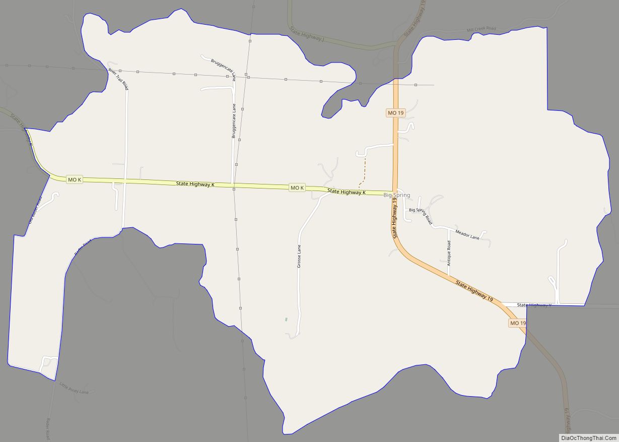
Big Spring is a census-designated places in Montgomery County, in the U.S. state of Missouri. Big Spring CDP overview: Name: Big Spring CDP LSAD Code: 57 LSAD Description: CDP (suffix) State: Missouri County: Montgomery County Elevation: 558 ft (170 m) Total Area: 3.38 sq mi (8.76 km²) Land Area: 3.36 sq mi (8.70 km²) Water Area: 0.03 sq mi (0.06 km²) Total Population: 149 Population Density: ... Read more
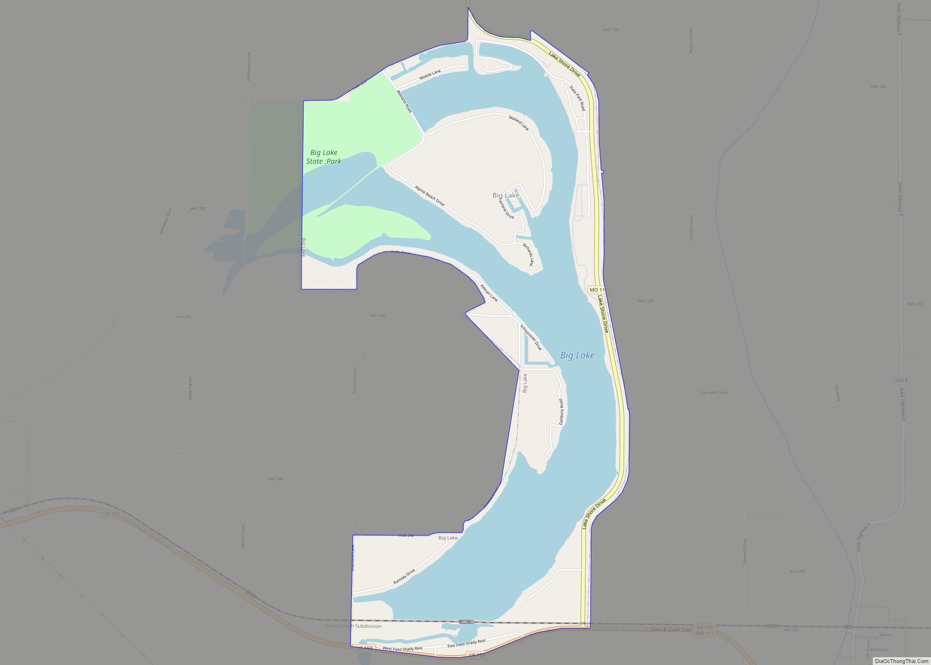
Big Lake is a village in Holt County, Missouri, United States. The population was 65 at the 2020 census. The village is located on the 646-acre (2.61 km) Big Lake, which is the largest oxbow lake in Missouri. It is also adjacent to Big Lake State Park, which has the largest marsh in a state park ... Read more
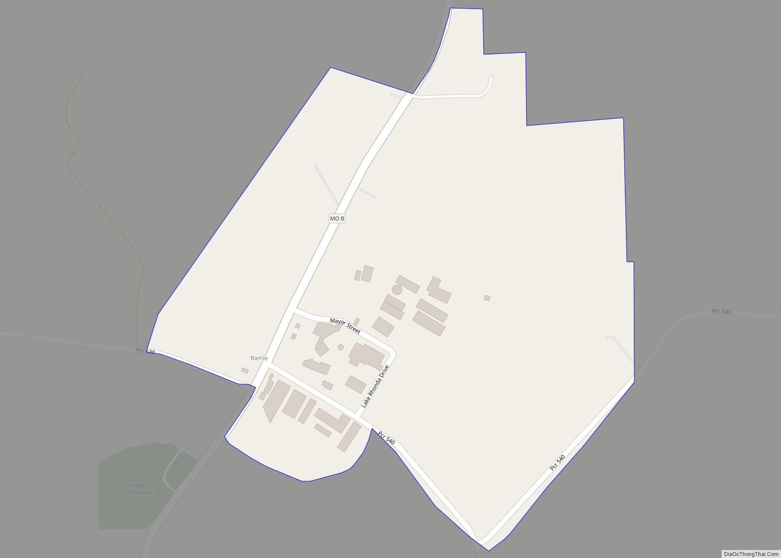
Biehle was a village in Perry County, Missouri, United States. The population was 47 at the 2020 census. The community was founded in 1876 and named after the Biehle family. Biehle CDP overview: Name: Biehle CDP LSAD Code: 57 LSAD Description: CDP (suffix) State: Missouri County: Perry County Incorporated: March 13, 1992 Elevation: 515 ft (157 m) ... Read more
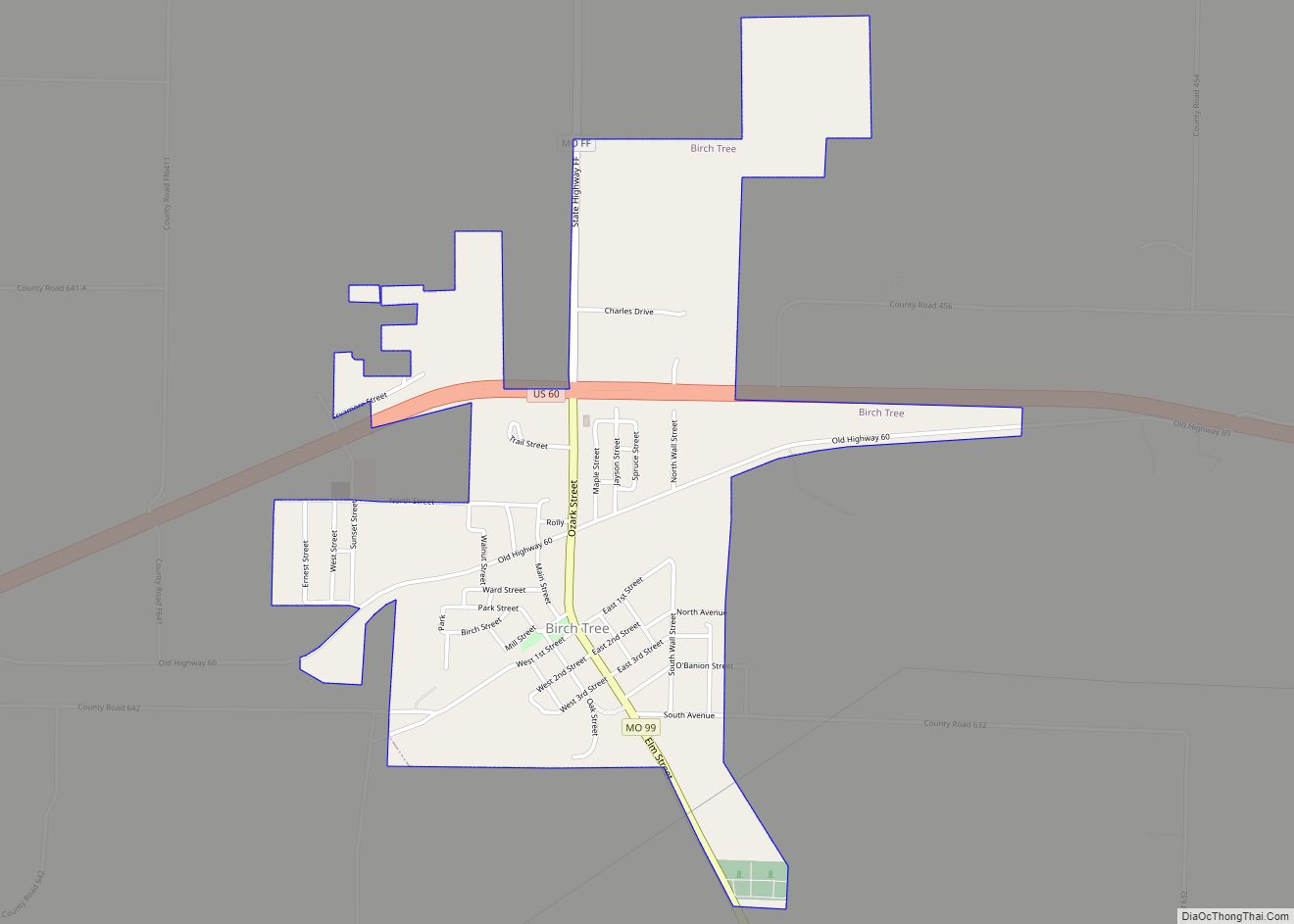
Birch Tree is a city in southwest Shannon County, Missouri, United States. The population was 541 at the 2020 census. Birch Tree city overview: Name: Birch Tree city LSAD Code: 25 LSAD Description: city (suffix) State: Missouri County: Shannon County Elevation: 1,011 ft (308 m) Total Area: 1.38 sq mi (3.58 km²) Land Area: 1.38 sq mi (3.58 km²) Water Area: 0.00 sq mi (0.00 km²) ... Read more
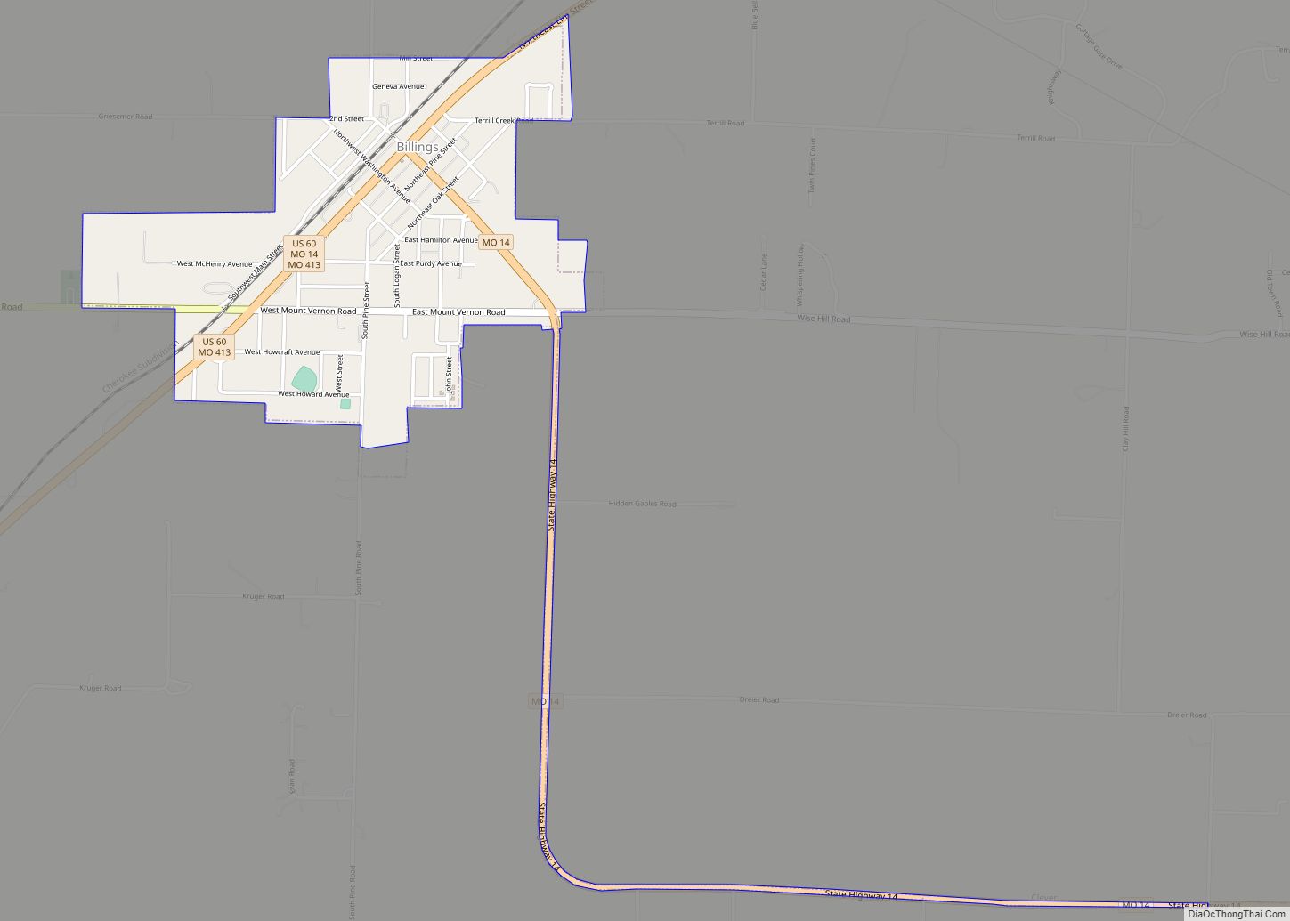
Billings is a city in Christian County, Missouri, United States. The population was 1,035 at the 2010 census. It is part of the Springfield, Missouri metropolitan area. Billings city overview: Name: Billings city LSAD Code: 25 LSAD Description: city (suffix) State: Missouri County: Christian County Elevation: 1,368 ft (417 m) Total Area: 0.98 sq mi (2.53 km²) Land Area: 0.98 sq mi ... Read more
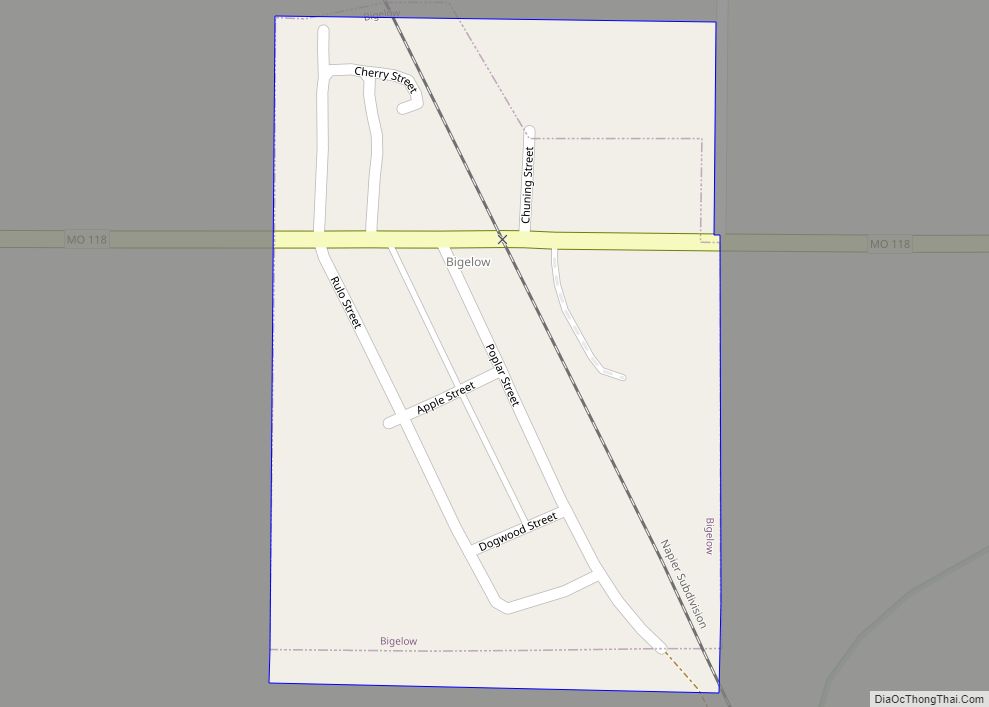
Bigelow is a village in Holt County, Missouri, United States. The population was 5 at the 2020 census. Bigelow village overview: Name: Bigelow village LSAD Code: 47 LSAD Description: village (suffix) State: Missouri County: Holt County Elevation: 860 ft (260 m) Total Area: 0.10 sq mi (0.25 km²) Land Area: 0.10 sq mi (0.25 km²) Water Area: 0.00 sq mi (0.00 km²) Total Population: 5 Population ... Read more
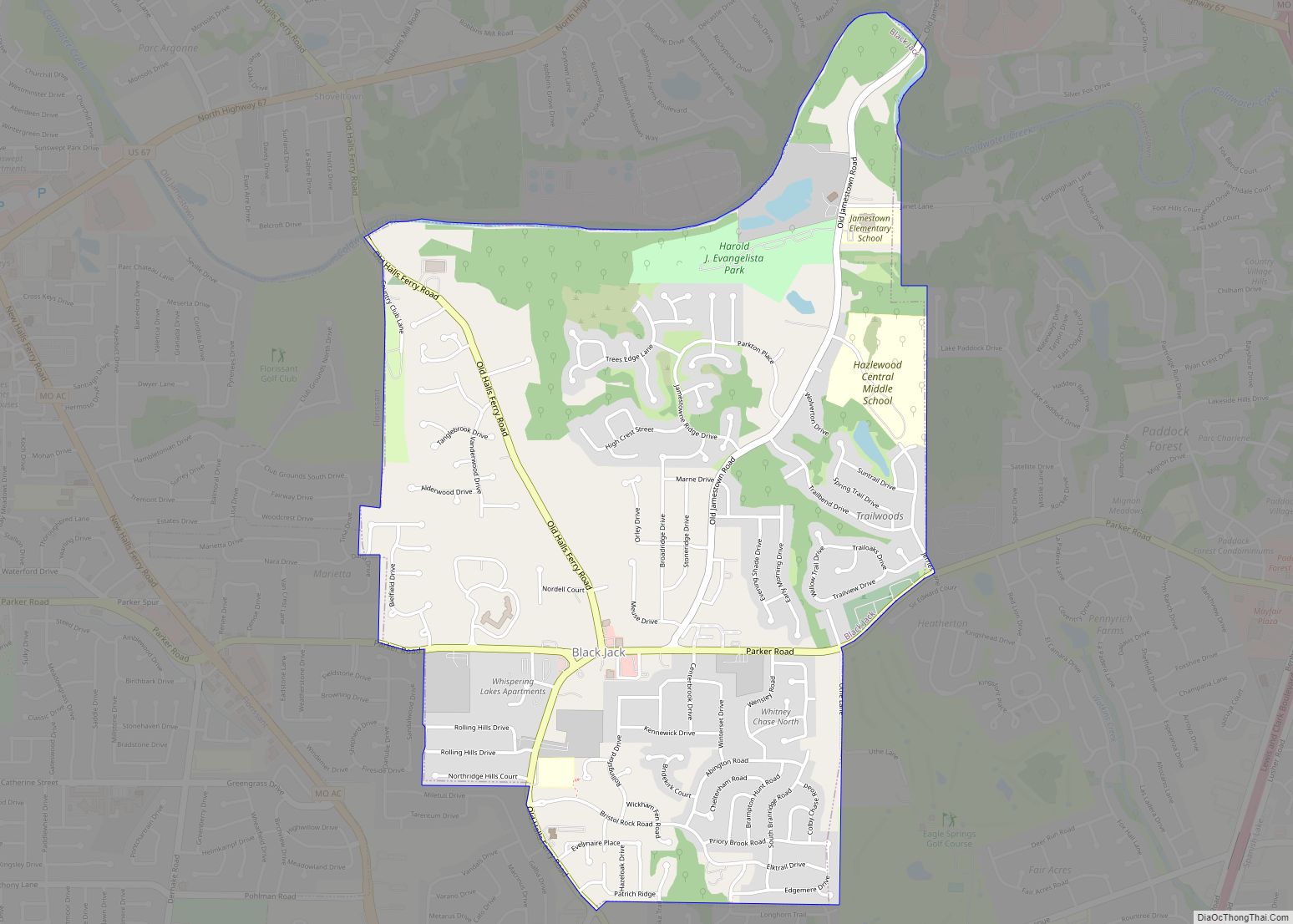
Black Jack is a second-ring suburb of St. Louis, located in northern St. Louis County, Missouri, United States. The population was 6,929 at the 2010 census. A post office called Black Jack was established in 1872, and operated until 1906. The community was named for a grove of blackjack oak trees near the original town ... Read more
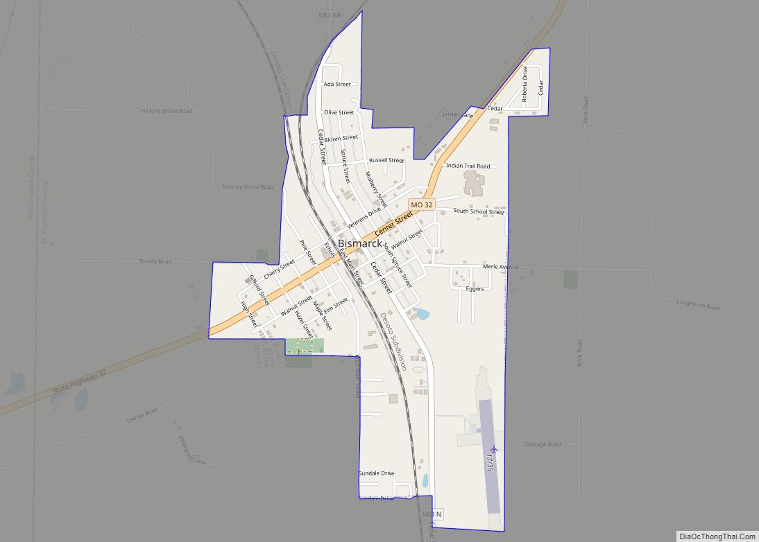
Bismarck is a city in St. Francois County, Missouri, United States. The population was 1,546 as of the 2010 census. Bismarck city overview: Name: Bismarck city LSAD Code: 25 LSAD Description: city (suffix) State: Missouri County: St. Francois County Incorporated: 1877 Elevation: 1,030 ft (310 m) Total Area: 1.00 sq mi (2.58 km²) Land Area: 1.00 sq mi (2.58 km²) Water Area: 0.00 sq mi ... Read more
Birmingham is a village in Clay County, Missouri, United States. The population was 189 at the 2020 census. It is part of the Kansas City metropolitan area. Birmingham village overview: Name: Birmingham village LSAD Code: 47 LSAD Description: village (suffix) State: Missouri County: Clay County Elevation: 735 ft (224 m) Total Area: 0.56 sq mi (1.46 km²) Land Area: 0.56 sq mi ... Read more
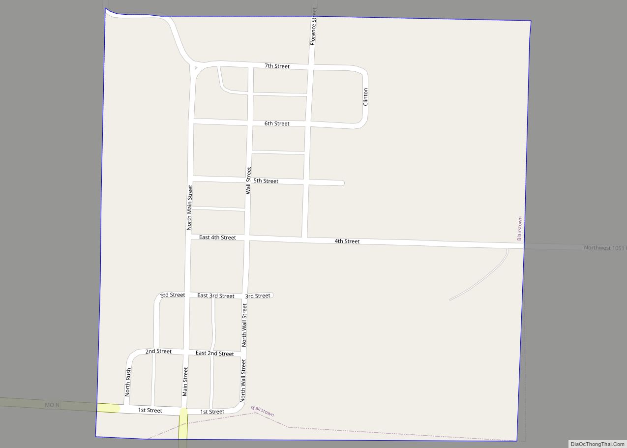
Blairstown is a city in Henry County, Missouri, United States. The population was 97 at the 2010 census. Blairstown city overview: Name: Blairstown city LSAD Code: 25 LSAD Description: city (suffix) State: Missouri County: Henry County Elevation: 784 ft (239 m) Total Area: 0.25 sq mi (0.64 km²) Land Area: 0.25 sq mi (0.64 km²) Water Area: 0.00 sq mi (0.00 km²) Total Population: 95 Population ... Read more


