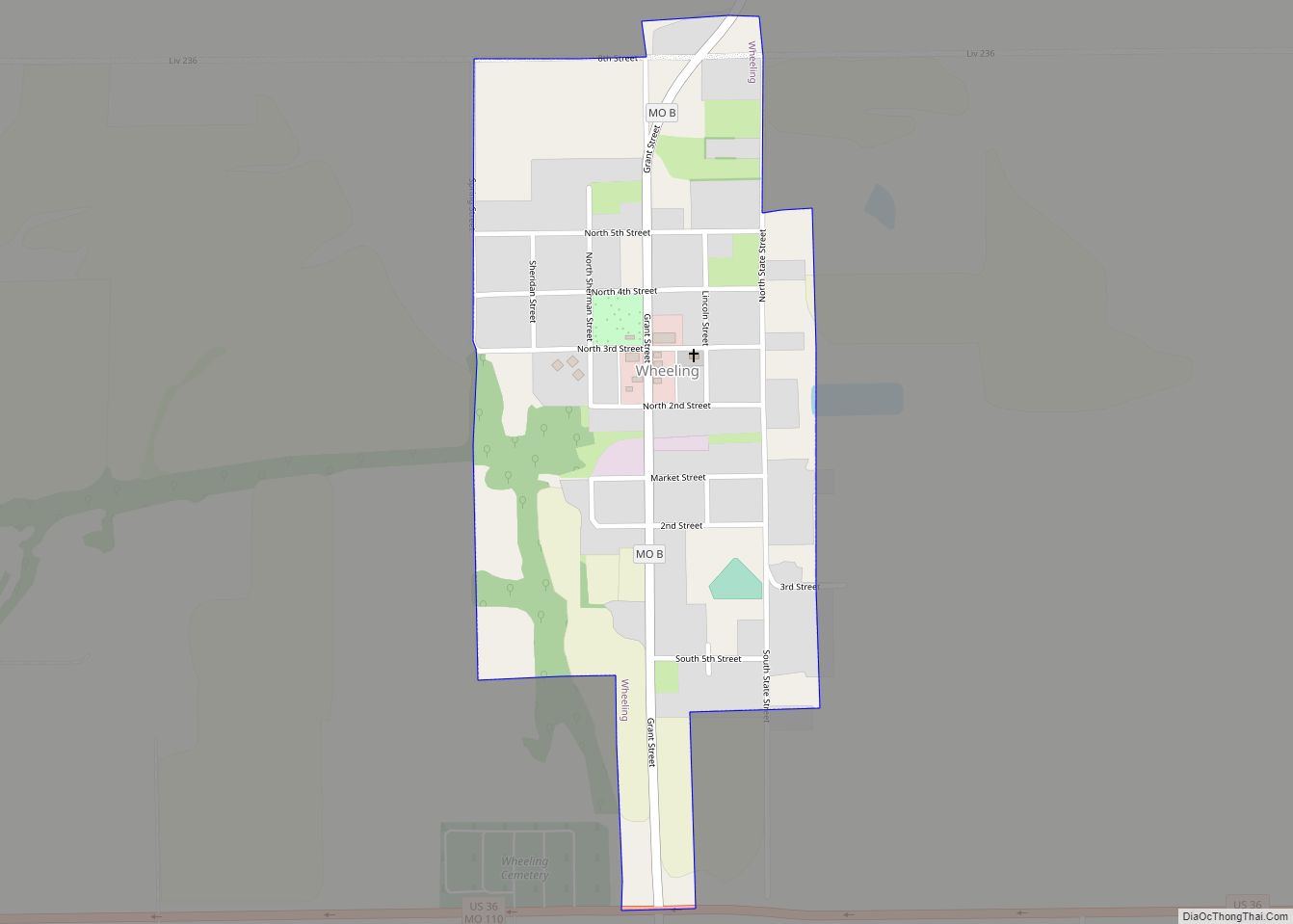
Wheeling is a city in eastern Livingston County, Missouri, United States. The population was 220 at the 2020 census. Wheeling city overview: Name: Wheeling city LSAD Code: 25 LSAD Description: city (suffix) State: Missouri County: Livingston County Elevation: 745 ft (227 m) Total Area: 0.32 sq mi (0.83 km²) Land Area: 0.32 sq mi (0.83 km²) Water Area: 0.00 sq mi (0.00 km²) Total Population: 220 ... Read more
Missouri Cities and Places
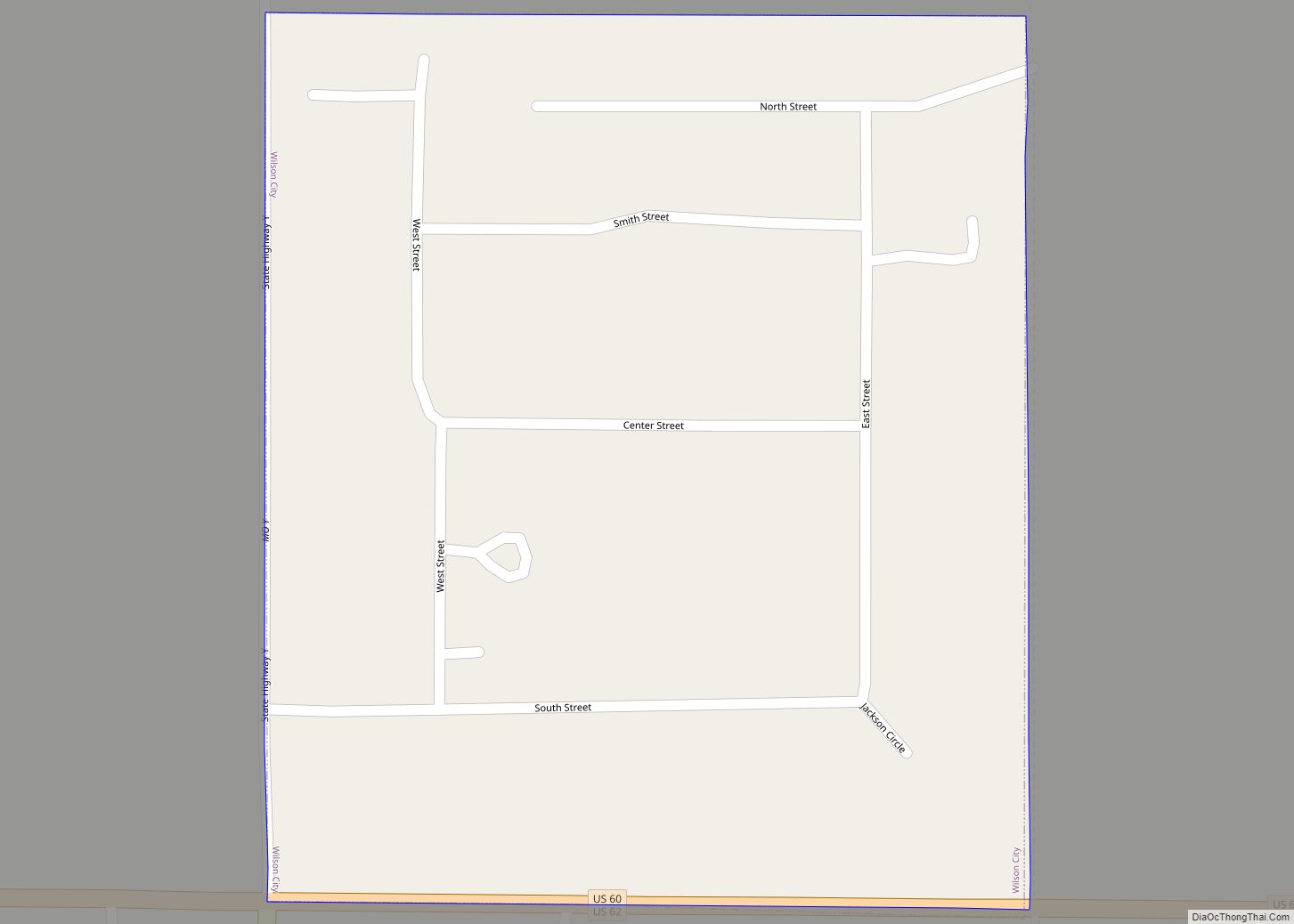
Wilson City is a village in Mississippi County, Missouri, United States. The population was 77 at the 2020 census. Wilson City village overview: Name: Wilson City village LSAD Code: 47 LSAD Description: village (suffix) State: Missouri County: Mississippi County Elevation: 312 ft (95 m) Total Area: 0.07 sq mi (0.19 km²) Land Area: 0.07 sq mi (0.19 km²) Water Area: 0.00 sq mi (0.00 km²) Total ... Read more
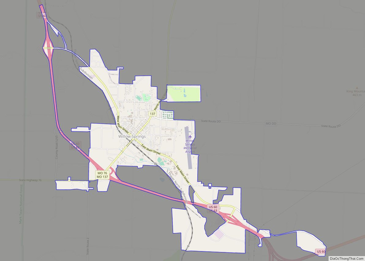
Willow Springs is a city in Howell County, Missouri, in the Ozark Mountains of the United States. The population was 2,164 at the 2020 census. Willow Springs city overview: Name: Willow Springs city LSAD Code: 25 LSAD Description: city (suffix) State: Missouri County: Howell County Elevation: 1,227 ft (374 m) Total Area: 3.77 sq mi (9.77 km²) Land Area: 3.76 sq mi ... Read more
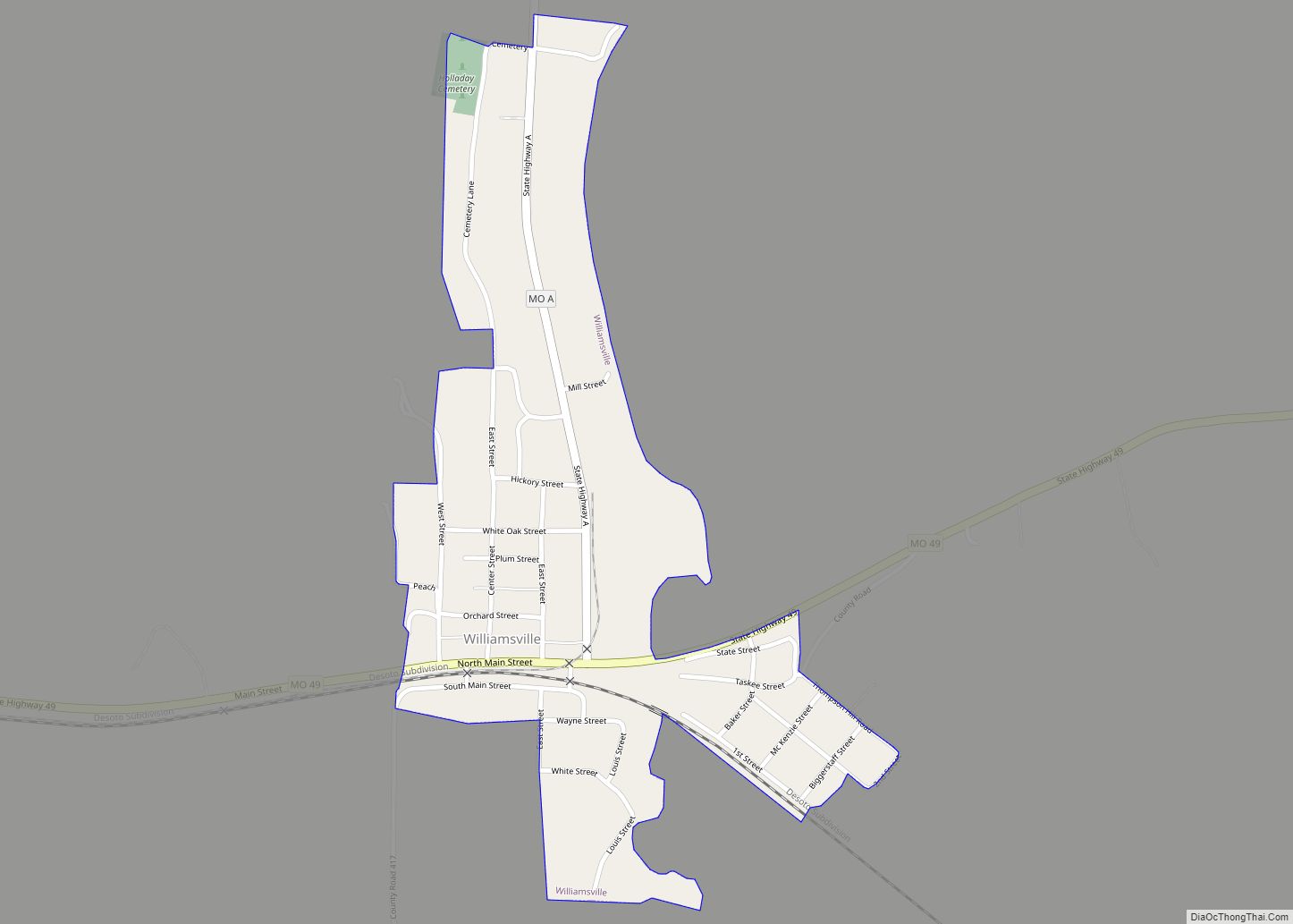
Williamsville is a city in Wayne County, Missouri, United States, along the Black River. The population was 279 at the 2020 census. Williamsville city overview: Name: Williamsville city LSAD Code: 25 LSAD Description: city (suffix) State: Missouri County: Wayne County Elevation: 400 ft (100 m) Total Area: 0.32 sq mi (0.84 km²) Land Area: 0.32 sq mi (0.84 km²) Water Area: 0.00 sq mi (0.00 km²) ... Read more
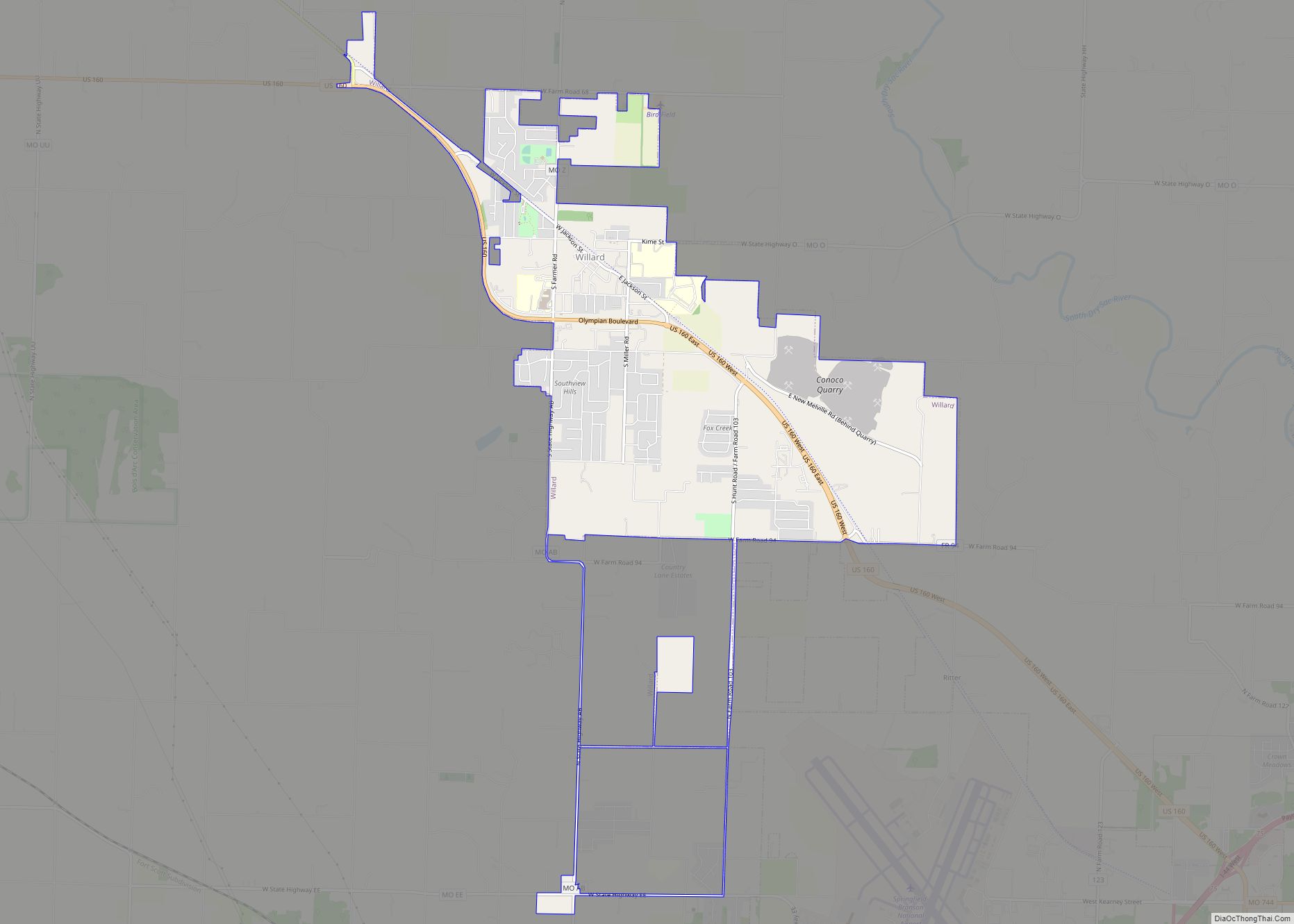
Willard is a city in Greene County, Missouri, United States. As of the 2020 census, the city population was 6,344. It is part of the Springfield, Missouri Metropolitan Statistical Area. Willard city overview: Name: Willard city LSAD Code: 25 LSAD Description: city (suffix) State: Missouri County: Greene County Elevation: 1,237 ft (377 m) Total Area: 6.05 sq mi (15.67 km²) ... Read more
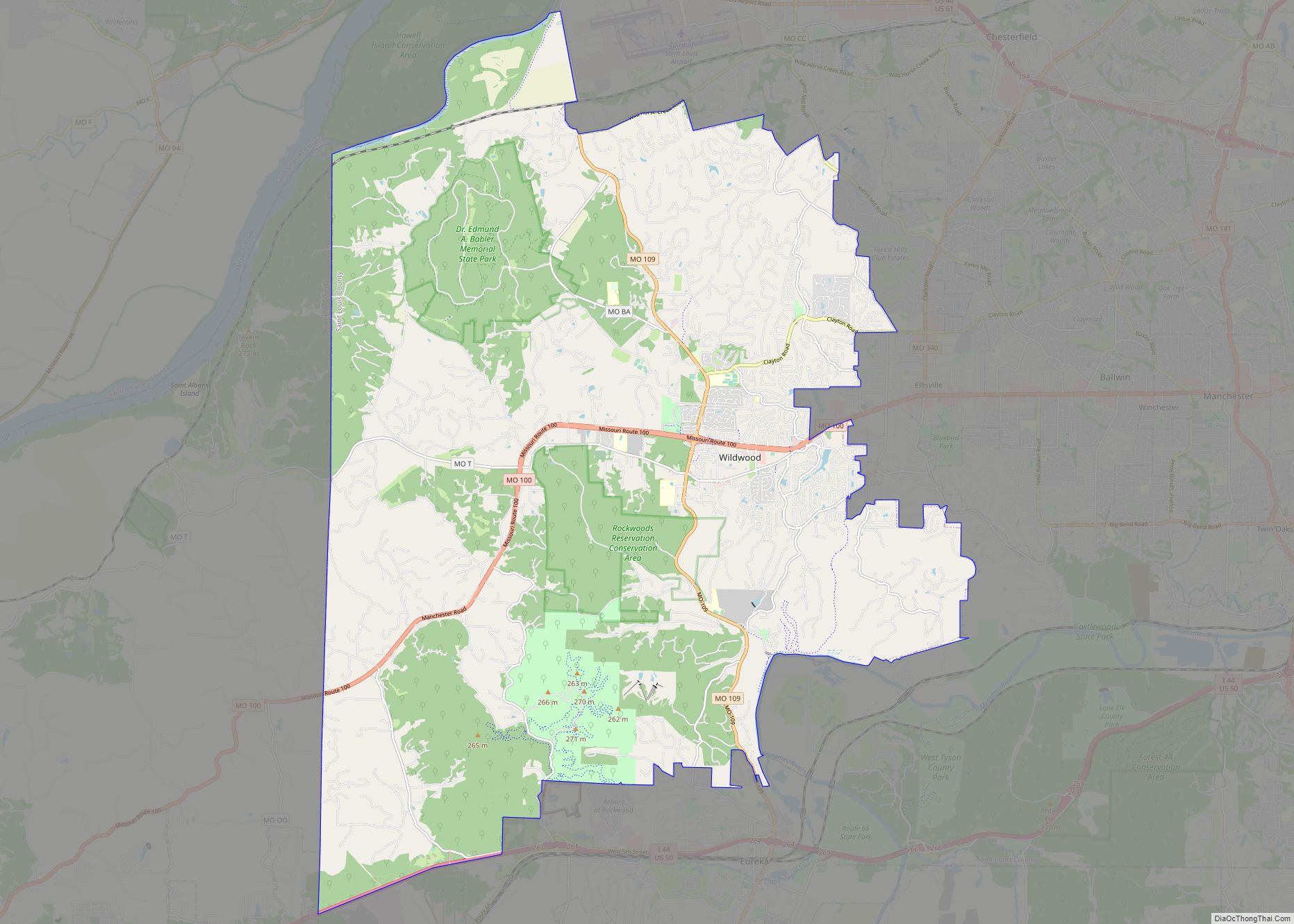
Wildwood is a city in St. Louis County, Missouri, United States. It is located in the far western portion of the county. As of the 2020 census, the population was 35,417. Wildwood is the home of the Al Foster Trail, and numerous other trails, parks, and reserves such as Rockwoods Reservation and Babler State Park. ... Read more
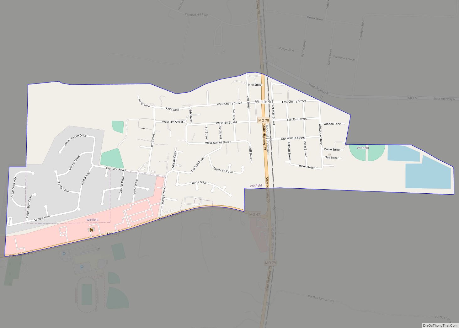
Winfield is a city in Lincoln County, Missouri, United States. The population was 1,404 at the 2010 census. Winfield city overview: Name: Winfield city LSAD Code: 25 LSAD Description: city (suffix) State: Missouri County: Lincoln County Elevation: 548 ft (167 m) Total Area: 0.85 sq mi (2.20 km²) Land Area: 0.85 sq mi (2.20 km²) Water Area: 0.00 sq mi (0.00 km²) Total Population: 1,518 Population ... Read more
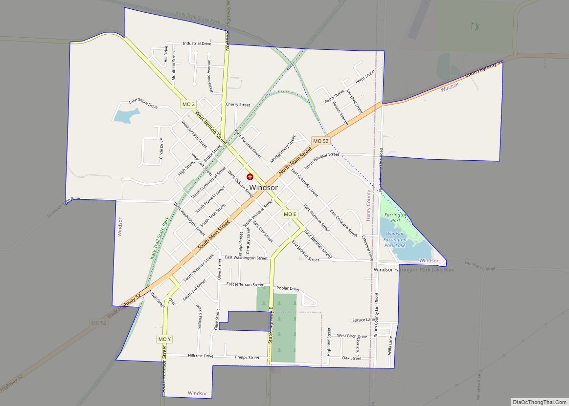
Windsor is a city in Henry and Pettis counties, Missouri, United States. The population was 2,901 at the 2010 census. Windsor city overview: Name: Windsor city LSAD Code: 25 LSAD Description: city (suffix) State: Missouri County: Henry County, Pettis County Elevation: 912 ft (278 m) Total Area: 2.45 sq mi (6.35 km²) Land Area: 2.42 sq mi (6.26 km²) Water Area: 0.03 sq mi (0.08 km²) ... Read more
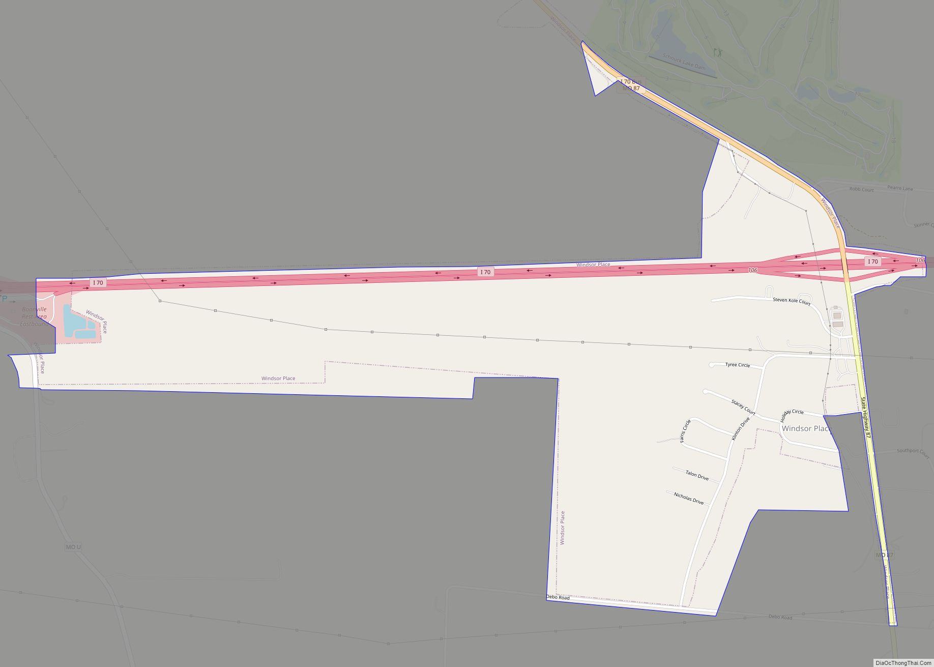
Windsor Place is a village in Cooper County, Missouri, United States. It was incorporated in 2006. The population was 309 at the 2010 census. Windsor Place village overview: Name: Windsor Place village LSAD Code: 47 LSAD Description: village (suffix) State: Missouri County: Cooper County Elevation: 617 ft (188 m) Total Area: 0.90 sq mi (2.32 km²) Land Area: 0.90 sq mi (2.32 km²) ... Read more
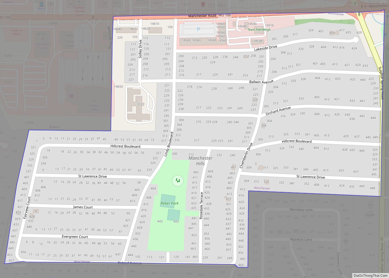
Winchester is a city in St. Louis County, Missouri, United States. The population was 1,447 at the 2020 census. Winchester city overview: Name: Winchester city LSAD Code: 25 LSAD Description: city (suffix) State: Missouri County: St. Louis County Elevation: 623 ft (190 m) Total Area: 0.25 sq mi (0.65 km²) Land Area: 0.25 sq mi (0.65 km²) Water Area: 0.00 sq mi (0.00 km²) Total Population: ... Read more
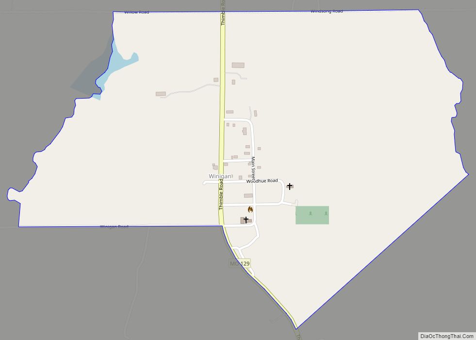
Winigan is an unincorporated village and census-designated place in southeastern Sullivan County, Missouri, United States. It is located on Missouri Route 129, approximately 15 mi (24 km) southeast of Milan. The Sullivan – Linn county line is one-half mile south of the community. Winigan CDP overview: Name: Winigan CDP LSAD Code: 57 LSAD Description: CDP (suffix) State: ... Read more
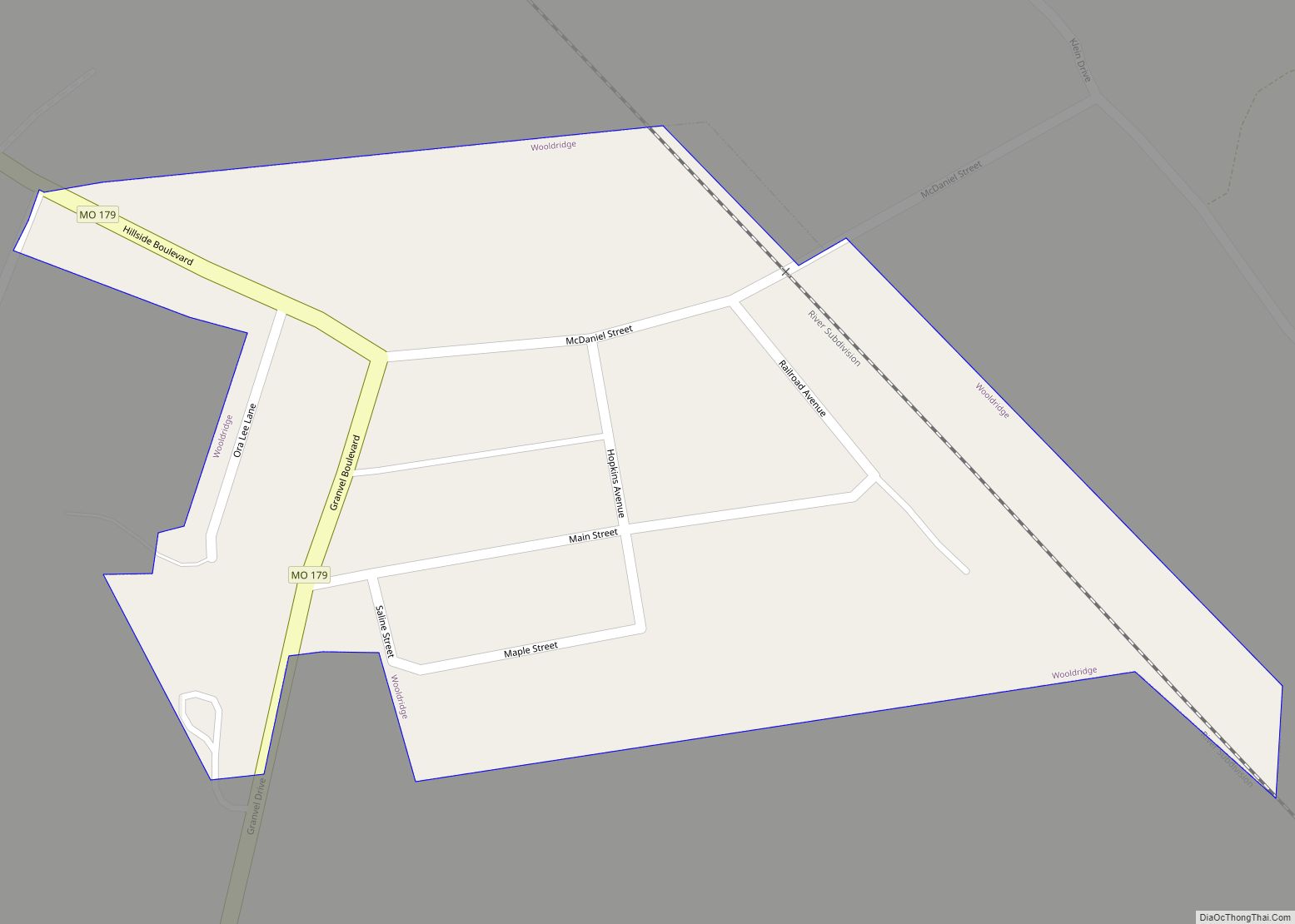
Wooldridge is a village in northeastern Cooper County, Missouri, United States. The population was 61 at the 2010 census. On October 22, 2022, a large fire destroyed 23 buildings, about half the town. Wooldridge village overview: Name: Wooldridge village LSAD Code: 47 LSAD Description: village (suffix) State: Missouri County: Cooper County Elevation: 581 ft (177 m) Total ... Read more
