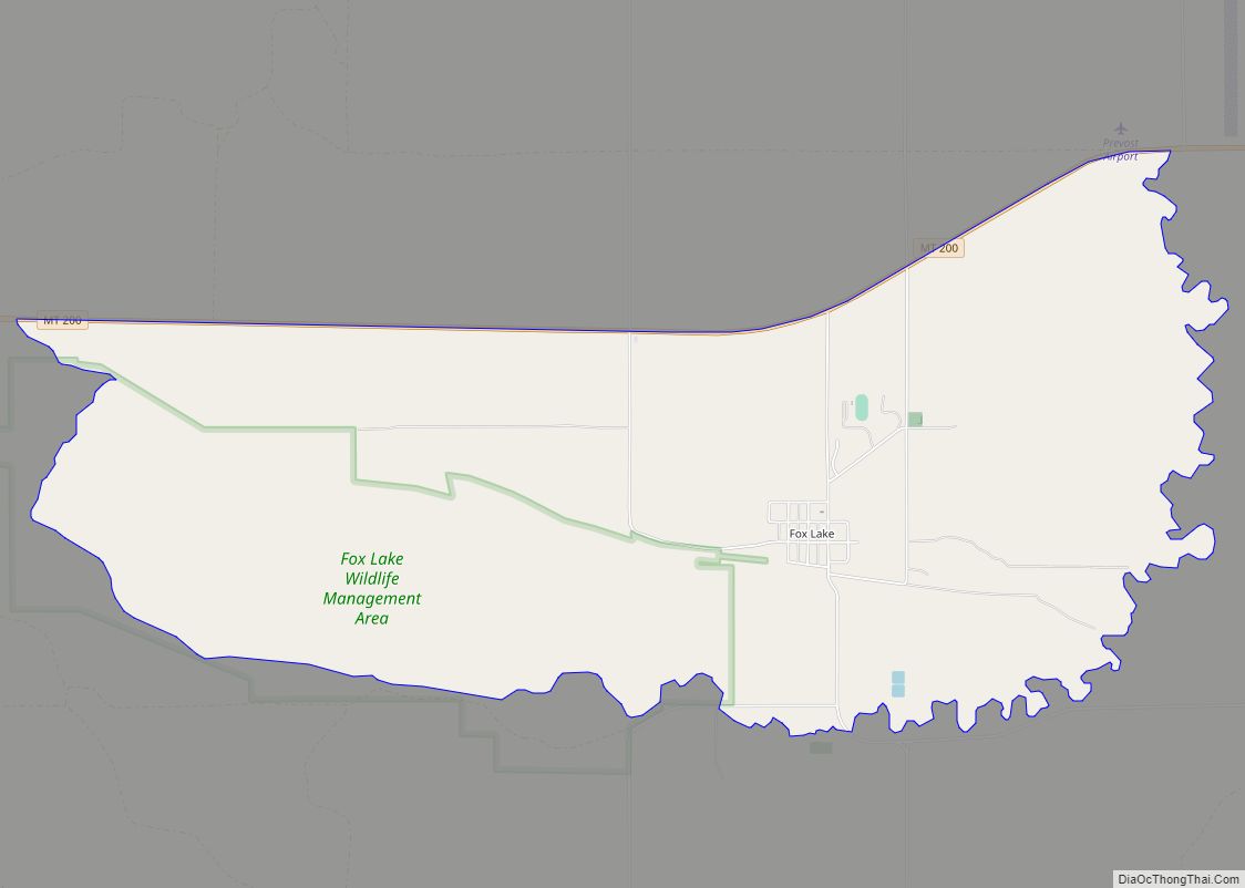
Fox Lake is a census-designated place (CDP) in Richland County, Montana, United States. The population was 158 at the 2010 census. Fox Lake CDP overview: Name: Fox Lake CDP LSAD Code: 57 LSAD Description: CDP (suffix) State: Montana County: Richland County Elevation: 2,372 ft (723 m) Total Area: 5.66 sq mi (14.67 km²) Land Area: 4.17 sq mi (10.81 km²) Water Area: 1.49 sq mi ... Read more
Montana Cities and Places
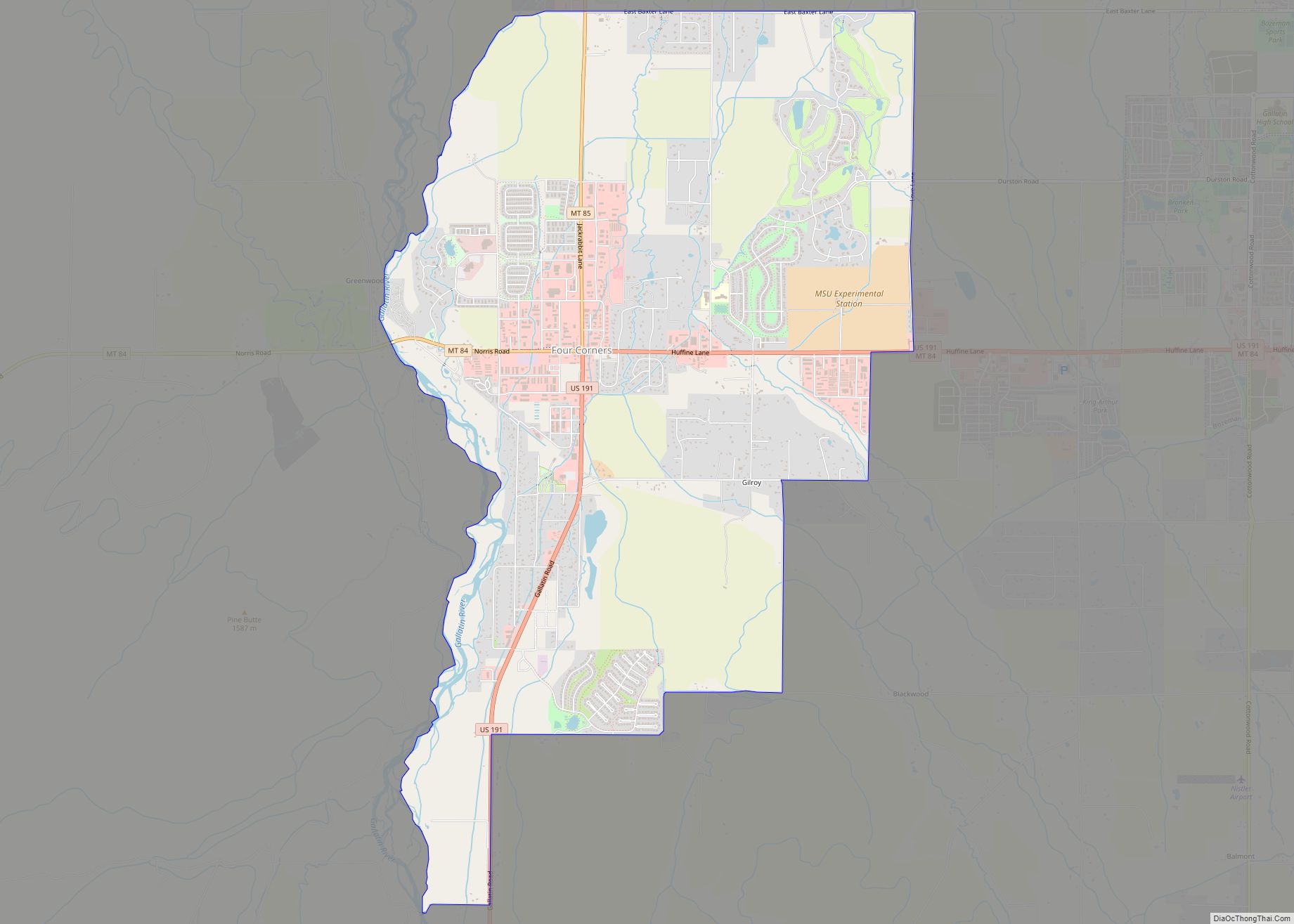
Four Corners is a census-designated place (CDP) in Gallatin County, Montana, United States. The population was 5,901 at the 2020 census, up from 3,146 in 2010. It is part of the Bozeman, MT Micropolitan Statistical Area. Four Corners CDP overview: Name: Four Corners CDP LSAD Code: 57 LSAD Description: CDP (suffix) State: Montana County: Gallatin ... Read more
Fortine is a census-designated place (CDP) in Lincoln County, Montana, United States. The population was 206 at the 2021 census. Fortine CDP overview: Name: Fortine CDP LSAD Code: 57 LSAD Description: CDP (suffix) State: Montana County: Lincoln County Elevation: 2,973 ft (906 m) Total Area: 7.16 sq mi (18.55 km²) Land Area: 7.09 sq mi (18.36 km²) Water Area: 0.07 sq mi (0.18 km²) Total Population: ... Read more
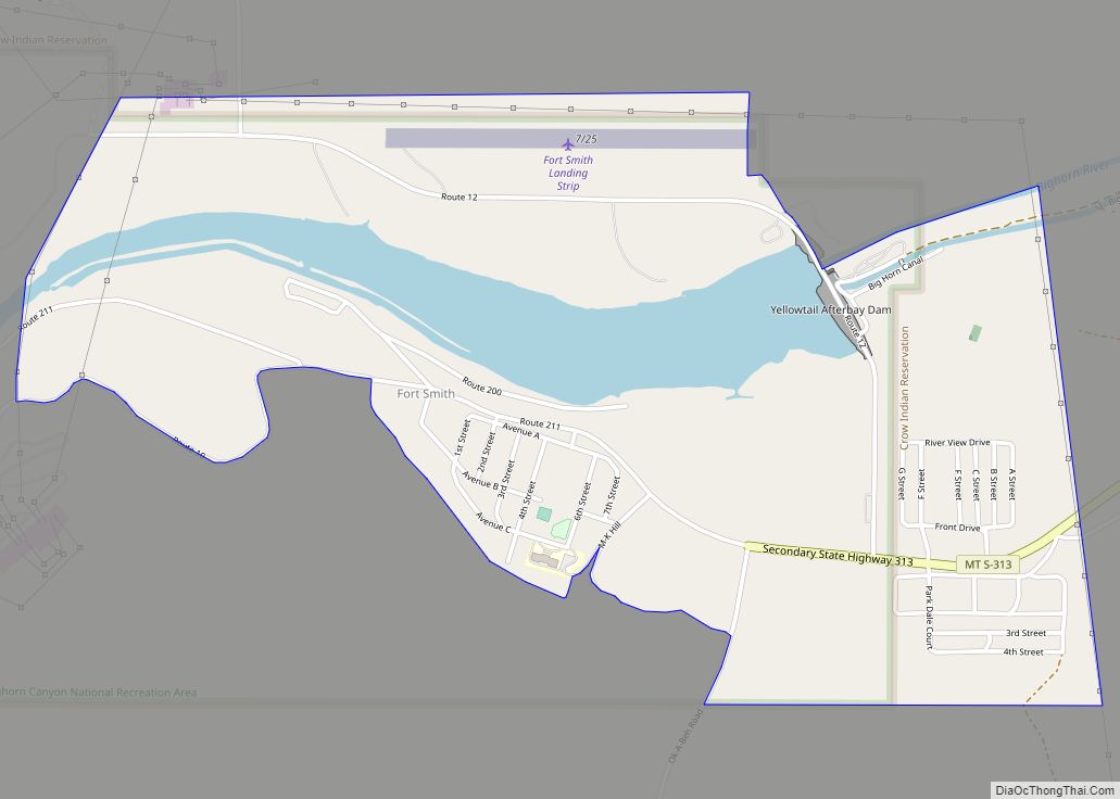
Fort Smith is a census-designated place (CDP) in Big Horn County, Montana, United States. The population was 161 at the 2010 census. The town is named for the former Fort C.F. Smith. The North District of Bighorn Canyon National Recreation Area is accessed at Fort Smith. The Crow name for this town is Annu’ucheepe, “Mouth ... Read more
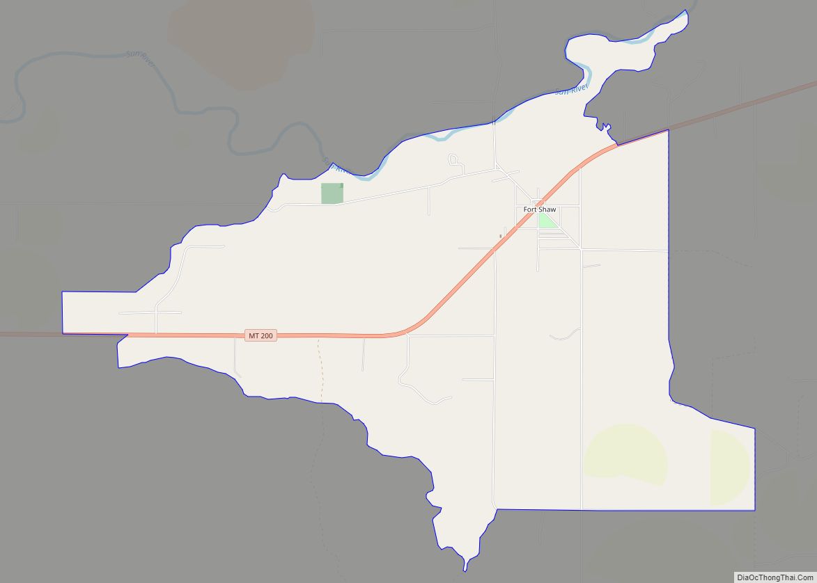
Fort Shaw (originally named Camp Reynolds) was a United States Army fort located on the Sun River 24 miles west of Great Falls, Montana, in the United States. It was founded on June 30, 1867, and abandoned by the Army in July 1891. It later served as a school for Native American children from 1892 ... Read more
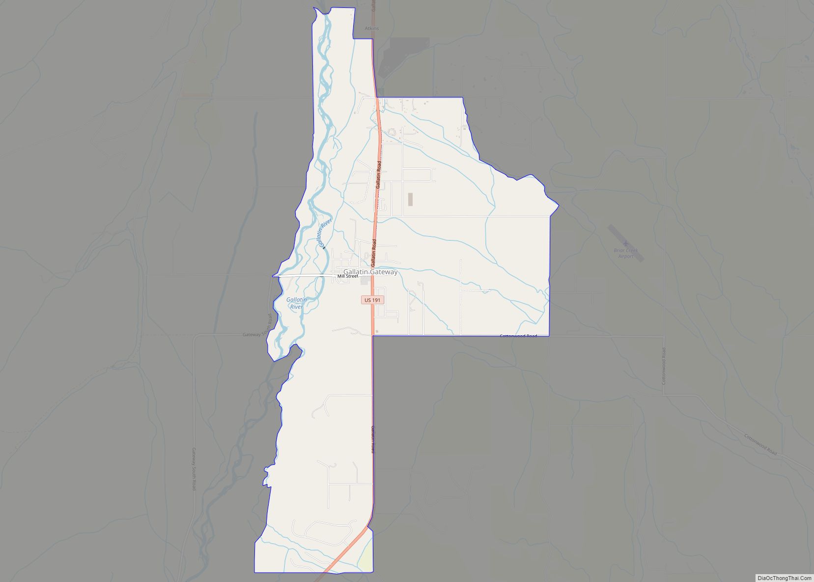
Gallatin Gateway is a census-designated place (CDP) in Gallatin County, Montana, United States. As of the 2010 census it had a population of 856. Elevation is 4,953 ft (1,510 m). The community is located along U.S. Route 191 in the valley of the Gallatin River, a north-flowing tributary of the Missouri River. US 191 leads ... Read more
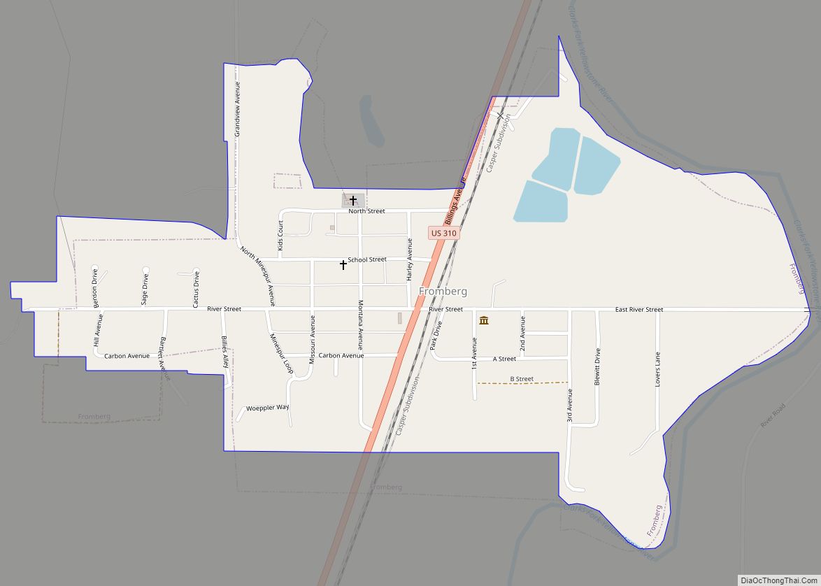
Fromberg is a town in Carbon County, Montana, United States. As of the 2020 census, the population of the town was 392. Fromberg town overview: Name: Fromberg town LSAD Code: 43 LSAD Description: town (suffix) State: Montana County: Carbon County Elevation: 3,534 ft (1,077 m) Total Area: 0.45 sq mi (1.16 km²) Land Area: 0.44 sq mi (1.15 km²) Water Area: 0.00 sq mi (0.01 km²) ... Read more
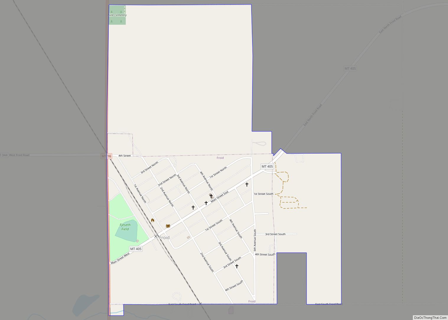
Froid is a town in Roosevelt County, Montana, United States. The population was 195 at the 2020 census. Froid was named for the French word for “cold”. Froid town overview: Name: Froid town LSAD Code: 43 LSAD Description: town (suffix) State: Montana County: Roosevelt County Elevation: 2,031 ft (619 m) Total Area: 0.62 sq mi (1.62 km²) Land Area: 0.62 sq mi ... Read more
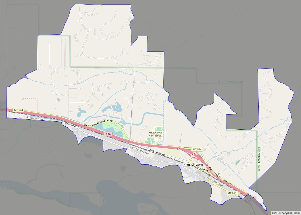
Frenchtown is a census-designated place (CDP) in Missoula County, Montana, United States. It is part of the ‘Missoula, Montana Metropolitan Statistical Area’. The population was 1,825 at the 2010 census, an increase from its population of 883 in 2000. Frenchtown is also known as an early mixed ancestry settlement in the Pacific Northwest history, sometimes ... Read more
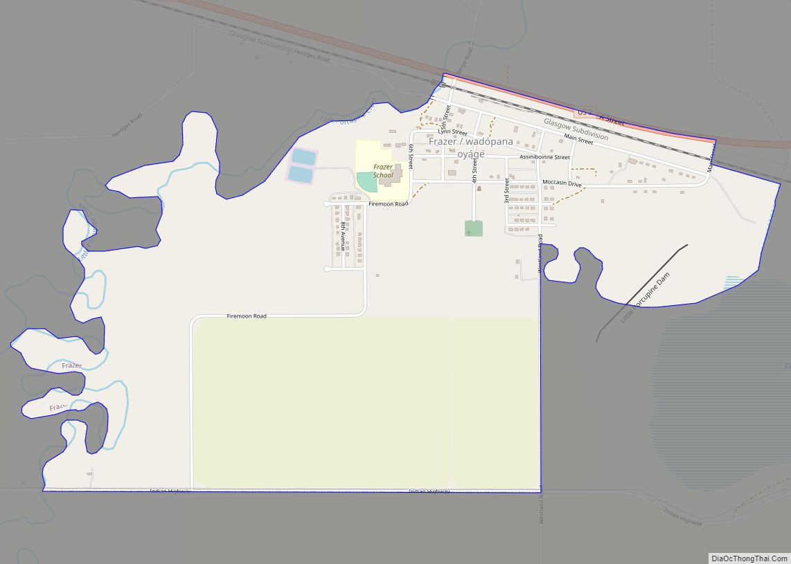
Frazer is a census-designated place (CDP) in Valley County, Montana, United States, located within the Fort Peck Indian Reservation, about 80 miles from the Canadian border. The population was 420 at the 2020 census. The St. Paul, Minneapolis & Manitoba Railway established Frazer as a station in 1888. A post office opened in 1907. Frazer ... Read more
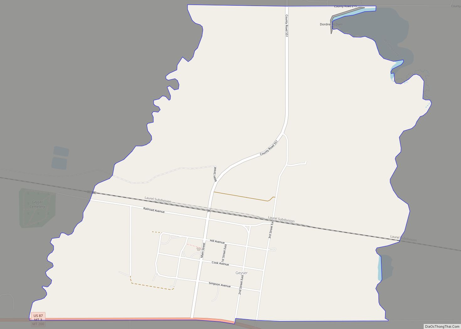
Geyser is a small, unincorporated rural village in Judith Basin County, Montana, United States, southeast of Great Falls along U.S. Route 87. Geyser CDP overview: Name: Geyser CDP LSAD Code: 57 LSAD Description: CDP (suffix) State: Montana County: Judith Basin County Elevation: 4,186 ft (1,276 m) Total Area: 0.89 sq mi (2.31 km²) Land Area: 0.89 sq mi (2.31 km²) Water Area: 0.00 sq mi ... Read more
Geraldine is a town in Chouteau County, Montana, United States. The population was 207 at the 2020 census. The area around the town is an agricultural, largely wheat-producing, region. Geraldine town overview: Name: Geraldine town LSAD Code: 43 LSAD Description: town (suffix) State: Montana County: Chouteau County Elevation: 3,136 ft (956 m) Total Area: 0.58 sq mi (1.50 km²) Land ... Read more
