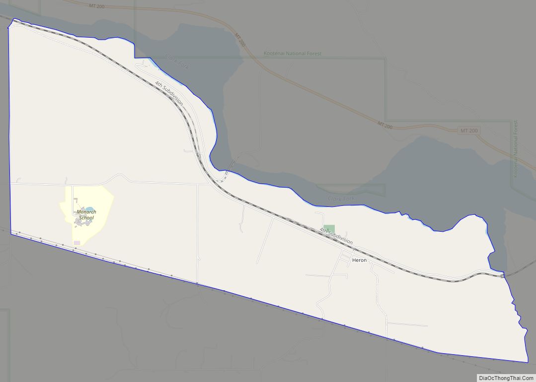
Heron is a census-designated place (CDP) in Sanders County, Montana, named for the village of Heron which is located within it. The population of the entire CDP was 149 at the 2000 census. The town was built in 1883 by the Northern Pacific Railroad as a division point. Heron CDP overview: Name: Heron CDP LSAD ... Read more
Montana Cities and Places
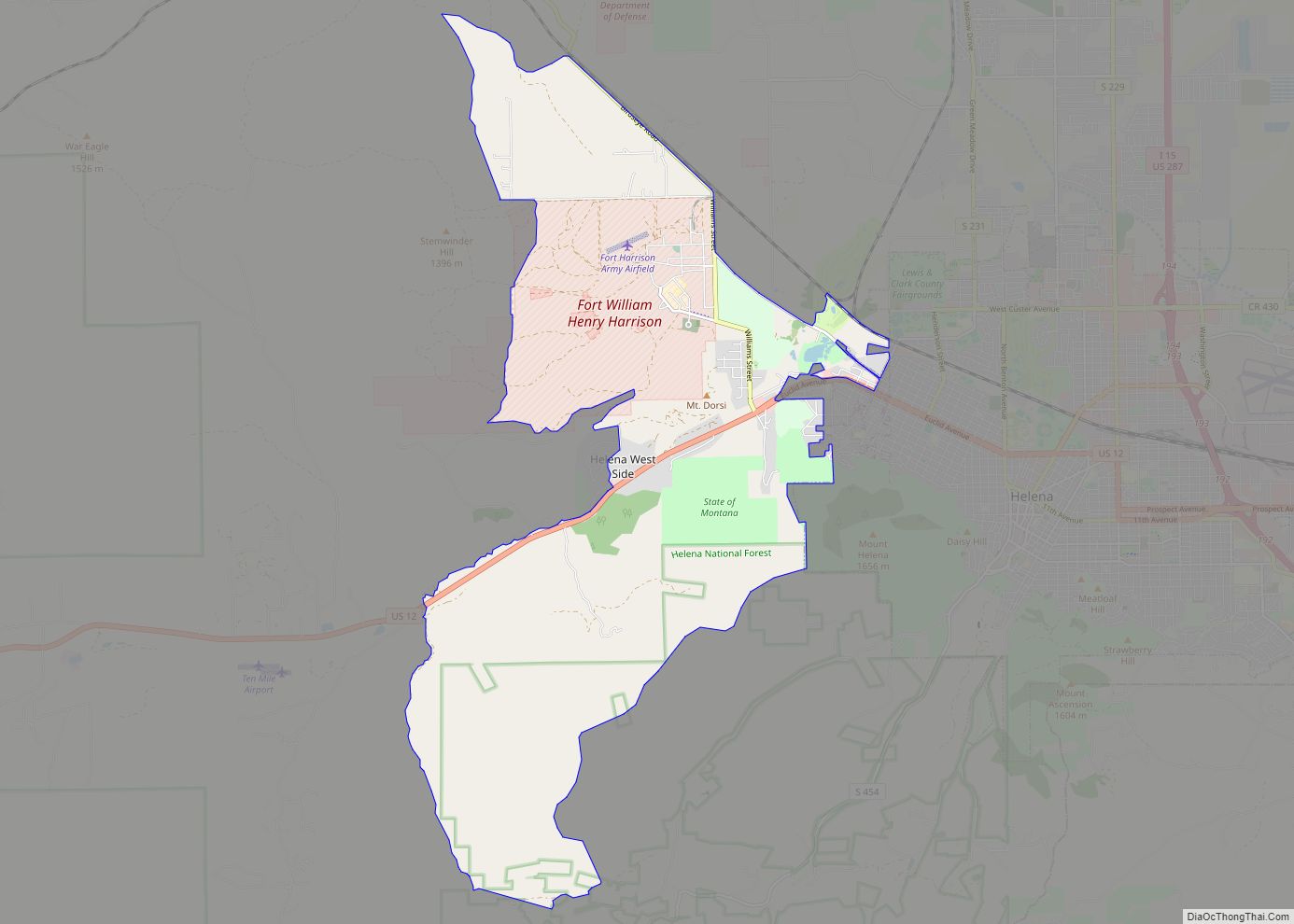
Helena West Side is a census-designated place (CDP) in Lewis and Clark County, Montana, United States. The population was 1,637 at the 2010 census, down from 1,711 at the 2000 census due to annexation of part of the CDP by the city of Helena. It is part of the Helena Micropolitan Statistical Area. Helena West ... Read more
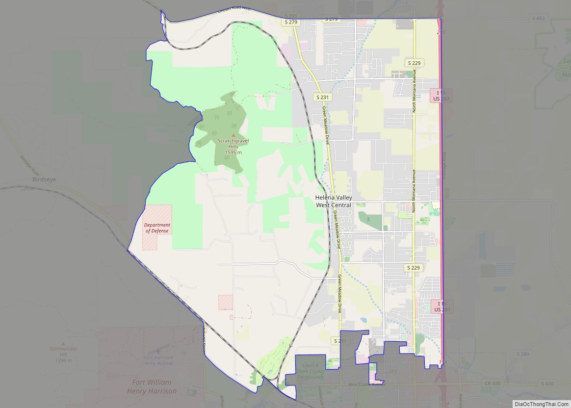
Helena Valley West Central is a census-designated place (CDP) in Lewis and Clark County, Montana, United States. The population was 7,883 at the 2010 census. It is part of the Helena Micropolitan Statistical Area. Helena Valley West Central CDP overview: Name: Helena Valley West Central CDP LSAD Code: 57 LSAD Description: CDP (suffix) State: Montana ... Read more
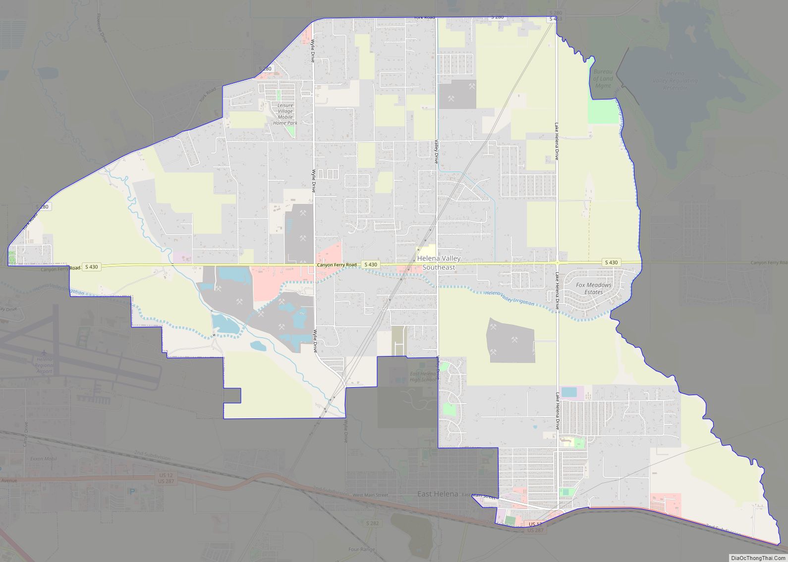
Helena Valley Southeast is a census-designated place (CDP) in Lewis and Clark County, Montana, United States. The population was 8,227 at the 2010 census. It is part of the Helena Micropolitan Statistical Area. Helena Valley Southeast CDP overview: Name: Helena Valley Southeast CDP LSAD Code: 57 LSAD Description: CDP (suffix) State: Montana County: Lewis and ... Read more
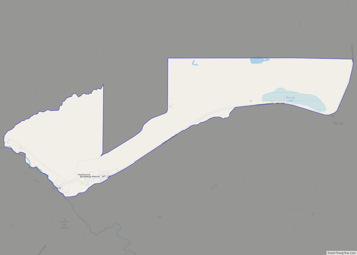
Highwood is an unincorporated community and census-designated place (CDP) in Chouteau County, Montana, United States. The population was 176 at the 2010 census. Highwood CDP overview: Name: Highwood CDP LSAD Code: 57 LSAD Description: CDP (suffix) State: Montana County: Chouteau County Elevation: 3,383 ft (1,031 m) Total Area: 5.18 sq mi (13.41 km²) Land Area: 5.18 sq mi (13.41 km²) Water Area: 0.00 sq mi ... Read more
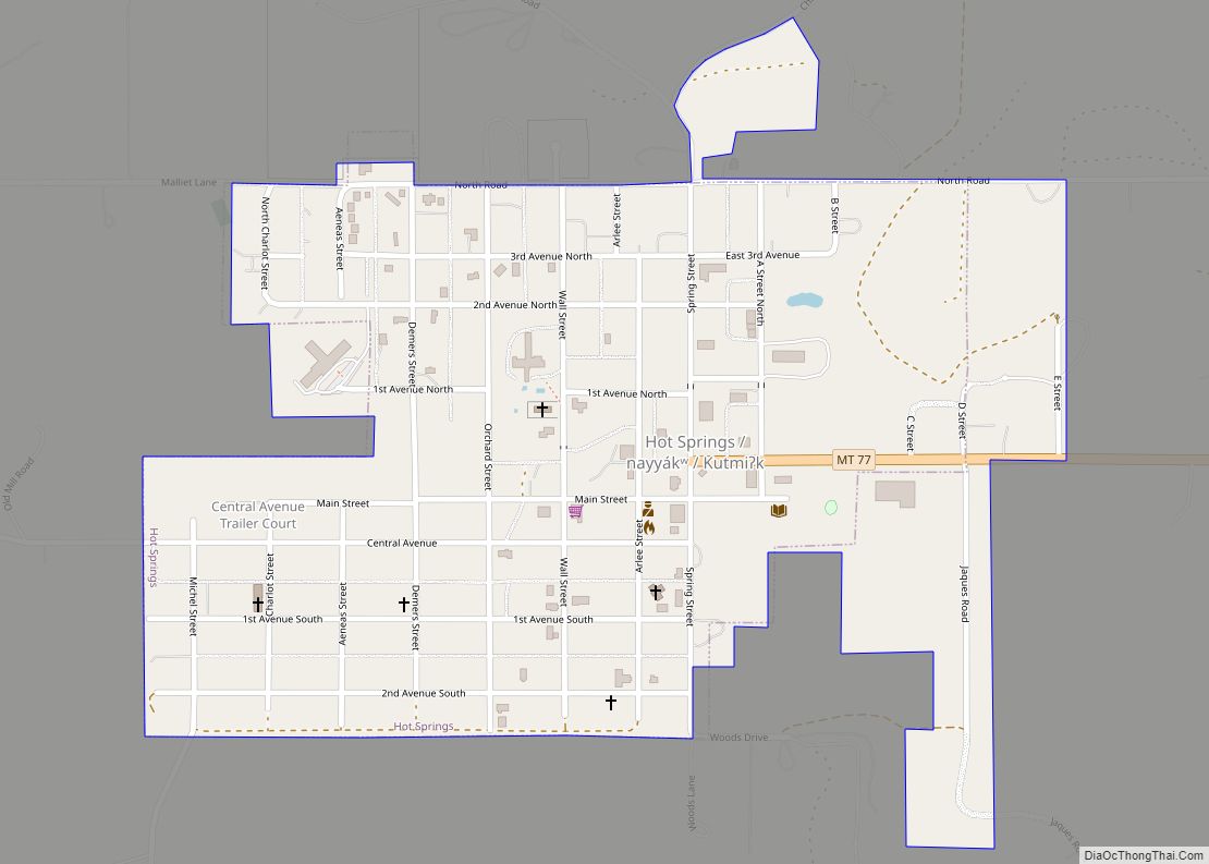
Hot Springs (Montana Salish: nayyákʷ, Kutenai: Kutmiʔk) is a town on the Flathead Indian Reservation in Sanders County, Montana, United States. The population was 557 at the 2020 census. Founded in 1910, it was incorporated in 1929. Previously it was known as both Camas and Camas Hot Springs for the camas plant that grows abundantly ... Read more
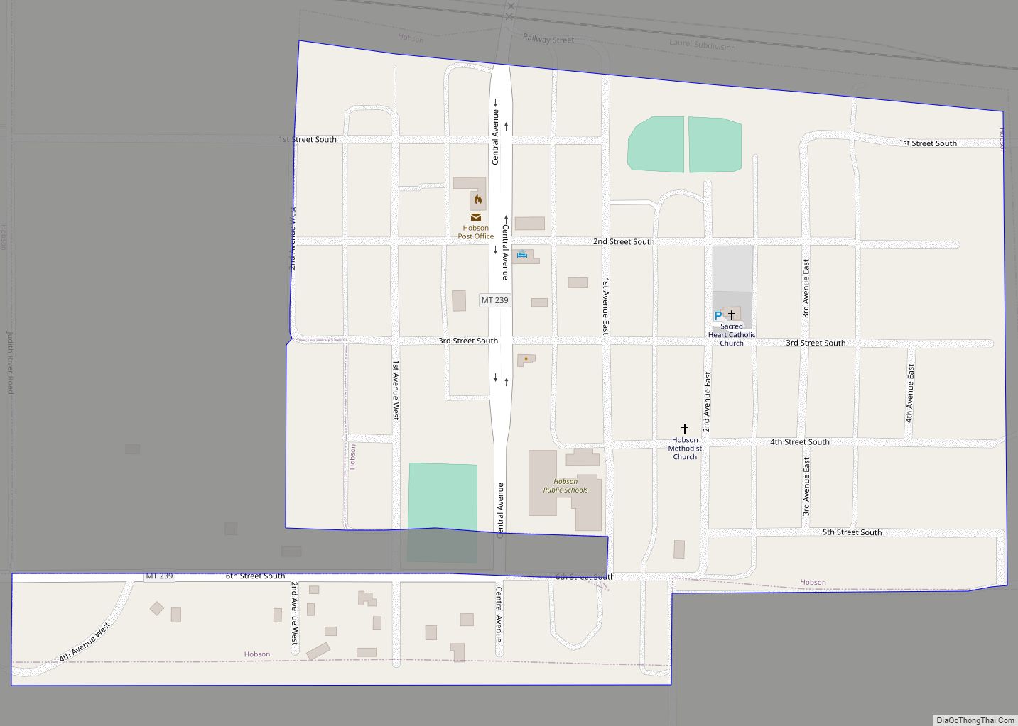
Hobson is a city in Judith Basin County, Montana, United States. The population was 179 at the 2020 census. As the freight-wagon crossing of the Judith River between Fort Benton and the Musselshell River country, this community was once known as the “Gateway to the Judith Basin.” In 1881 the post office opened under the ... Read more
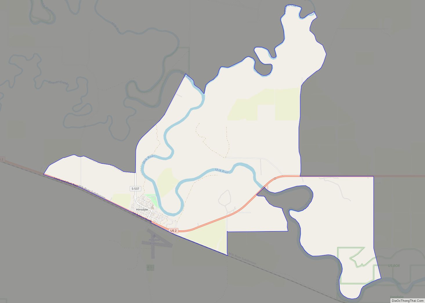
Hinsdale is an unincorporated community and census-designated place in Valley County, Montana, United States. The town’s population was 217 and the community’s population as a whole was 583 as of the 2010 census. The community is located on the Milk River and U.S. Route 2, with Montana Highway 537 headed north out of town and ... Read more
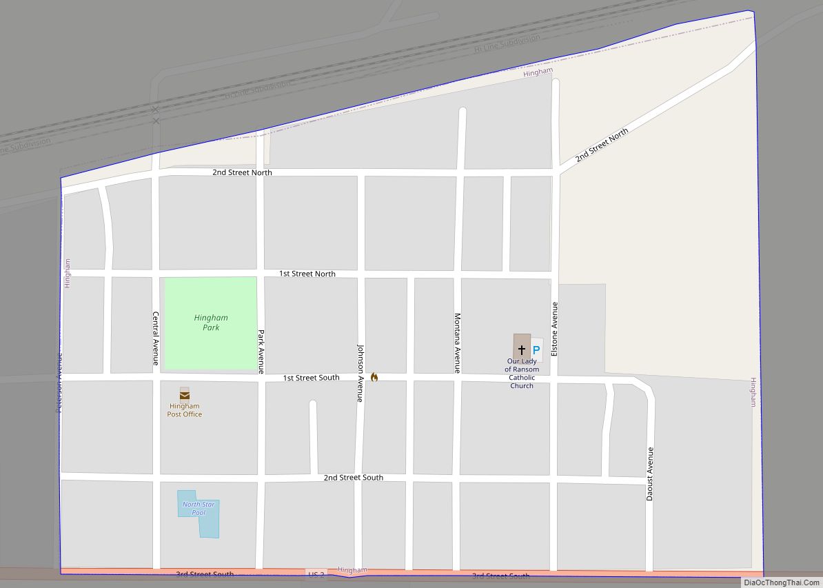
Hingham is a town in Hill County, Montana, United States. Its economy is largely agricultural. The population was 131 at the 2020 census. Hingham town overview: Name: Hingham town LSAD Code: 43 LSAD Description: town (suffix) State: Montana County: Hill County Elevation: 3,031 ft (924 m) Total Area: 0.17 sq mi (0.44 km²) Land Area: 0.17 sq mi (0.44 km²) Water Area: 0.00 sq mi ... Read more
Indian Springs is a census-designated place (CDP) in Lincoln County, Montana, United States. The population was 31 at the 2010 census. The CDP is located on U.S. Route 93. Indian Springs CDP overview: Name: Indian Springs CDP LSAD Code: 57 LSAD Description: CDP (suffix) State: Montana County: Lincoln County Elevation: 2,832 ft (863 m) Total Area: 4.51 sq mi ... Read more
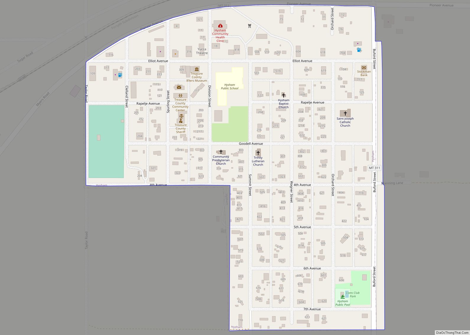
Hysham is a town in and the county seat of Treasure County, Montana, United States. The population was 276 at the 2020 census. Hysham town overview: Name: Hysham town LSAD Code: 43 LSAD Description: town (suffix) State: Montana County: Treasure County Elevation: 2,661 ft (811 m) Total Area: 0.22 sq mi (0.57 km²) Land Area: 0.22 sq mi (0.57 km²) Water Area: 0.00 sq mi ... Read more
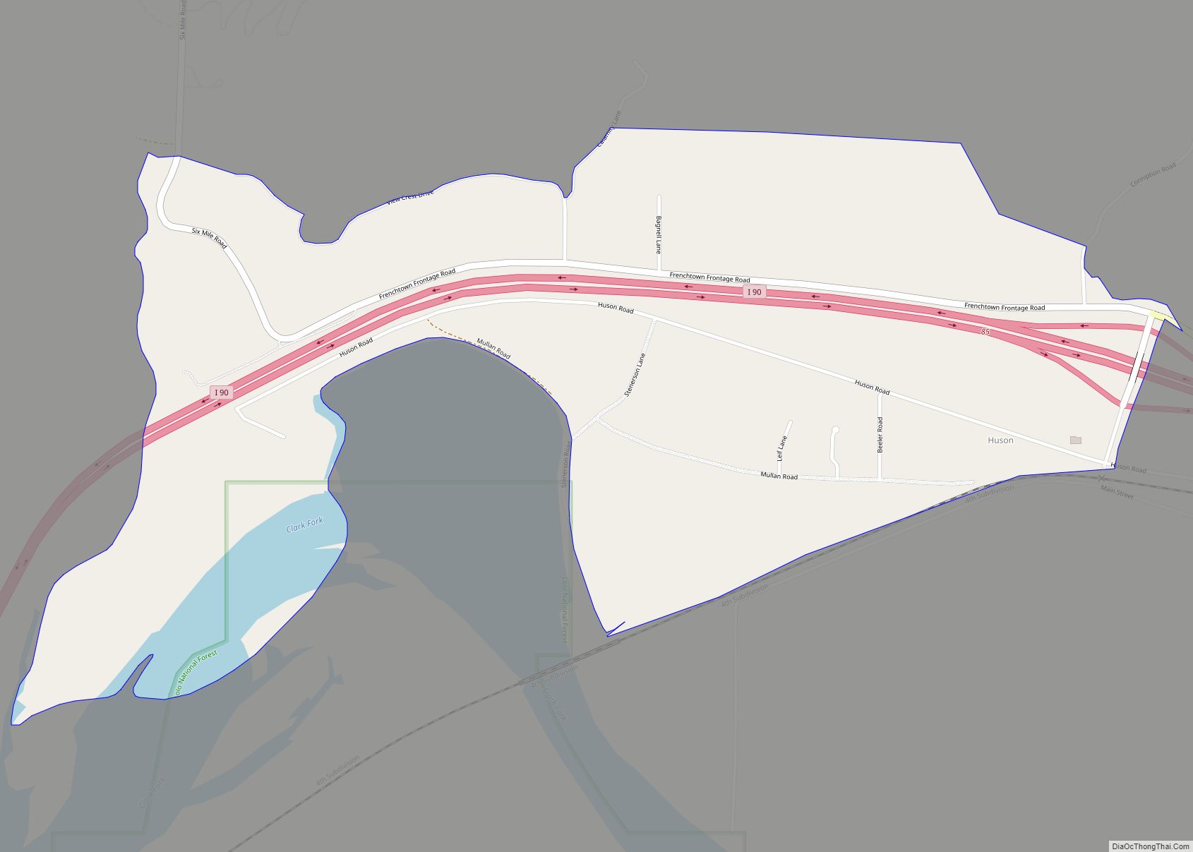
Huson is a census-designated place and unincorporated community in Missoula County, Montana, United States. Its population was 210 as of the 2010 census. The community is located along Interstate 90 19 miles (31 km) northwest of Missoula. Huson was established as a railroad station in about 1894. The post office opened as Glaude in about 1897, ... Read more
