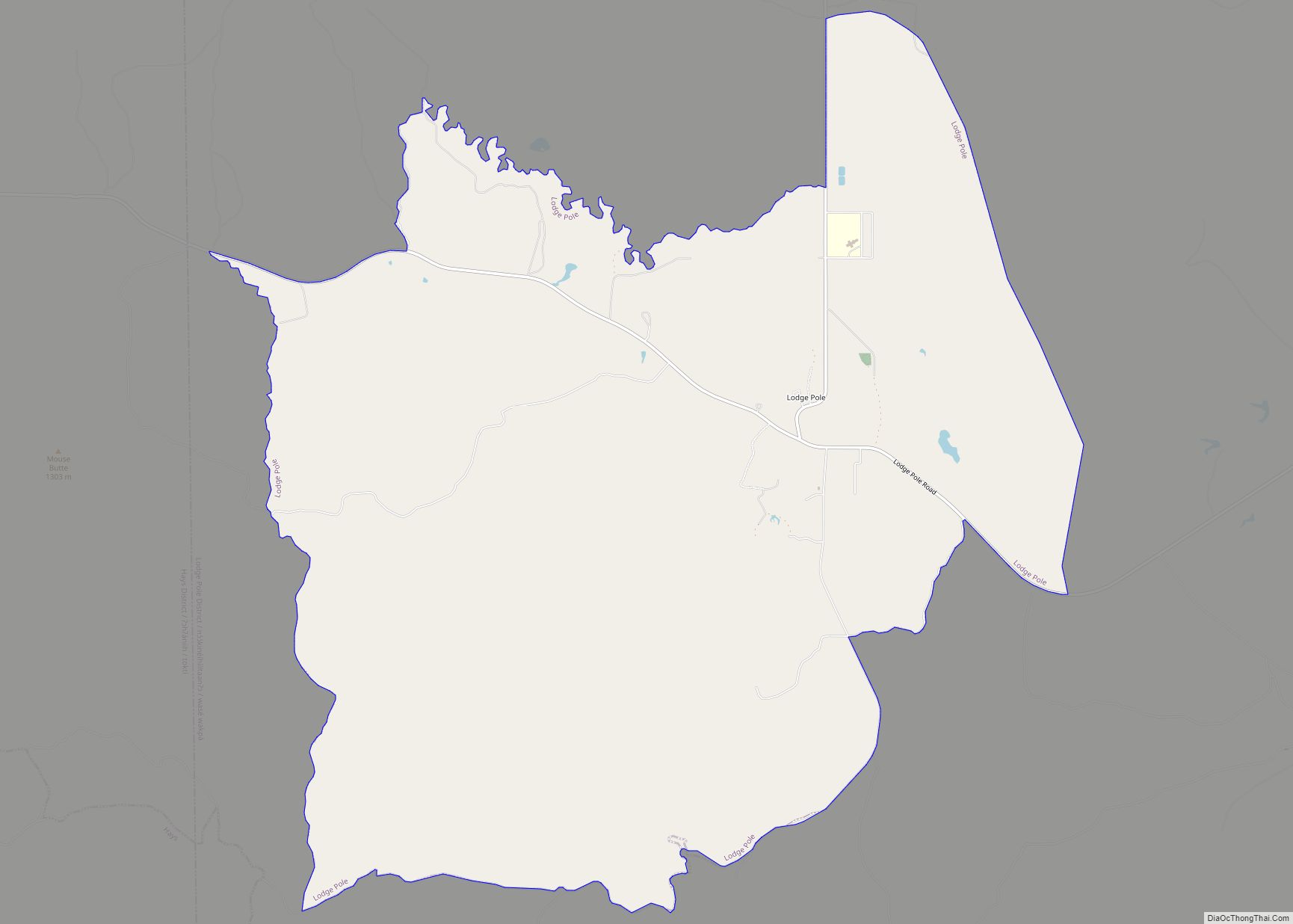
Lodge Pole is a census-designated place (CDP) in Blaine County, Montana, United States. The population was 265 at the 2010 census. It lies within the Fort Belknap Indian Reservation, near the reservation’s southern end. The nearby community of Hays lies to its west-southwest. Lodge Pole CDP overview: Name: Lodge Pole CDP LSAD Code: 57 LSAD ... Read more
Montana Cities and Places
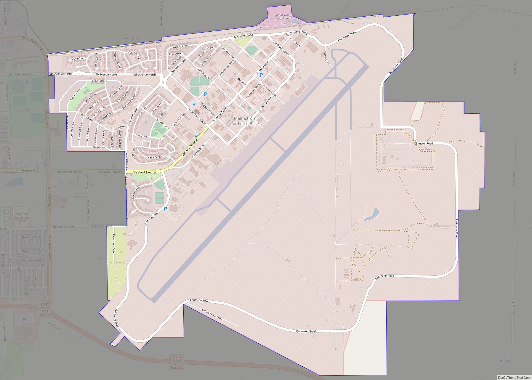
Malmstrom AFB CDP overview: Name: Malmstrom AFB CDP LSAD Code: 57 LSAD Description: CDP (suffix) State: Montana County: Cascade County FIPS code: 3047275 Online Interactive Map Malmstrom AFB online map. Source: Basemap layers from Google Map, Open Street Map (OSM), Arcgisonline, Wmflabs. Boundary Data from Database of Global Administrative Areas. Malmstrom AFB location map. Where ... Read more
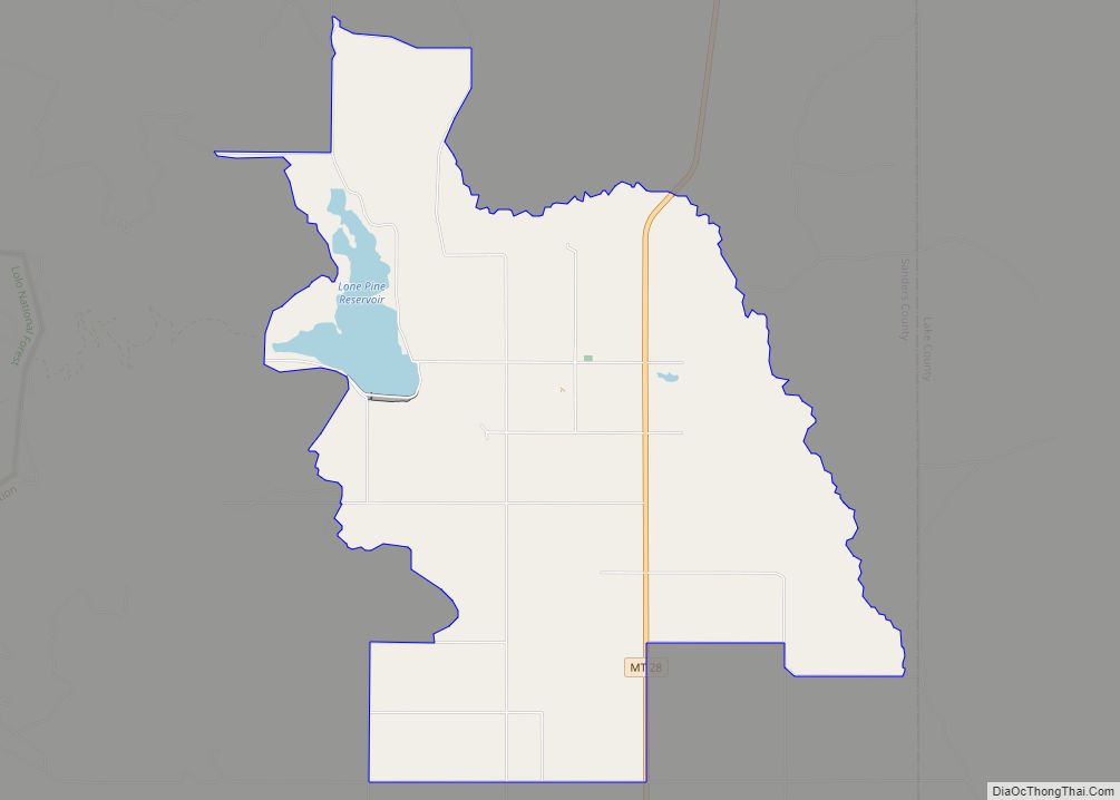
Lonepine is a census-designated place (CDP) in Sanders County, Montana, United States. The population was 137 at the 2000 census. The post office was established in 1911. In 1921, the U.S. Reclamation Service built the Lower Dry Fork Reservoir to provide irrigation for the region. The 2,800-foot-long dam impounds 4,200 acre-feet of water. Lonepine CDP ... Read more
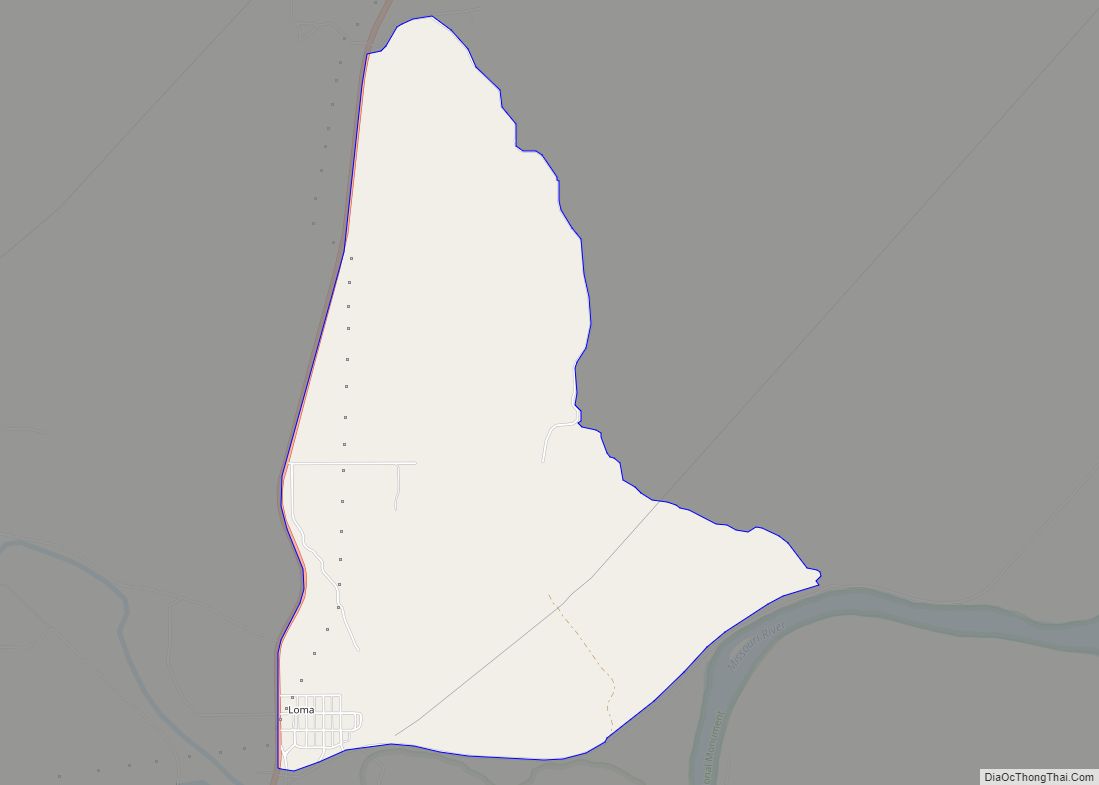
Loma is a census-designated place (CDP) in Chouteau County, Montana, United States. The population was 85 at the 2010 census. Loma CDP overview: Name: Loma CDP LSAD Code: 57 LSAD Description: CDP (suffix) State: Montana County: Chouteau County Elevation: 2,575 ft (785 m) Total Area: 3.44 sq mi (8.92 km²) Land Area: 3.44 sq mi (8.92 km²) Water Area: 0.00 sq mi (0.00 km²) Total Population: ... Read more
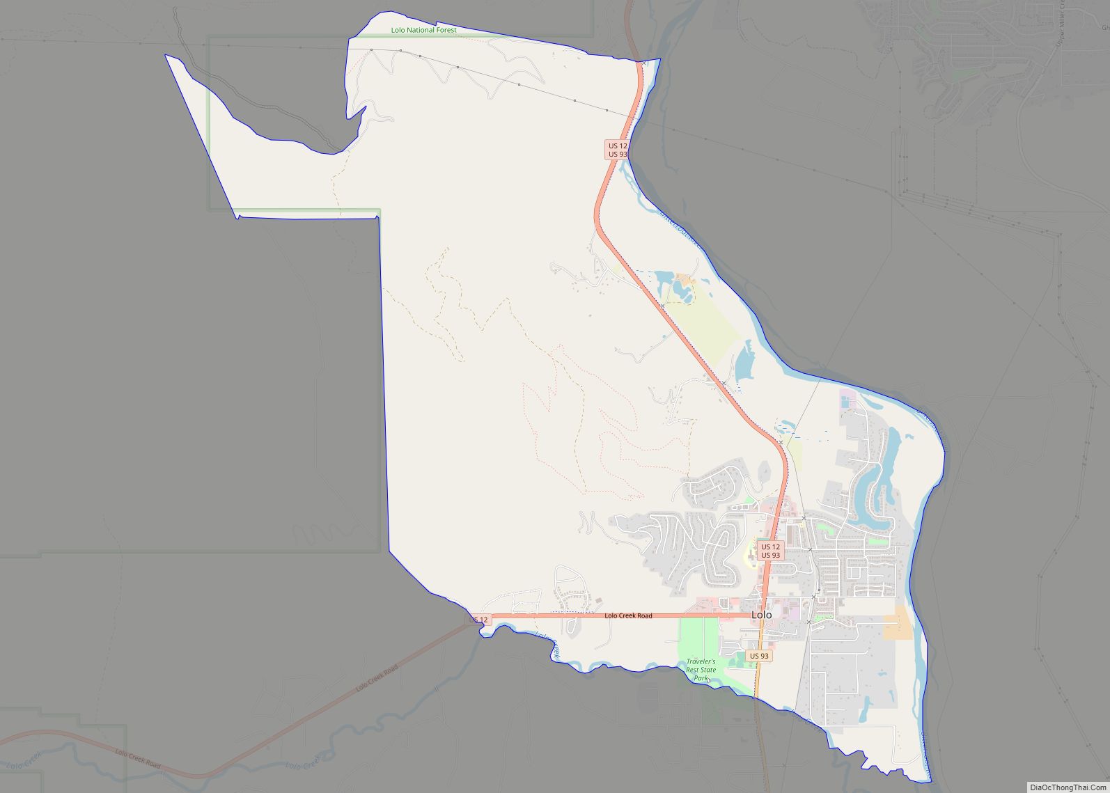
Lolo is a census-designated place (CDP) in Missoula County, Montana, United States. It is part of the Missoula Metropolitan Statistical Area. The population was 4,399 at the 2020 census, an increase from its population of 3,892 in 2010. It is home to Travelers’ Rest State Park, a site where Lewis and Clark camped in 1805 ... Read more
Logan is an unincorporated community in Gallatin County, Montana, United States. Logan can be accessed via exit 283 on Interstate 90. Logan CDP overview: Name: Logan CDP LSAD Code: 57 LSAD Description: CDP (suffix) State: Montana County: Gallatin County Elevation: 4,110 ft (1,250 m) Total Area: 0.51 sq mi (1.33 km²) Land Area: 0.50 sq mi (1.29 km²) Water Area: 0.01 sq mi (0.04 km²) Total ... Read more
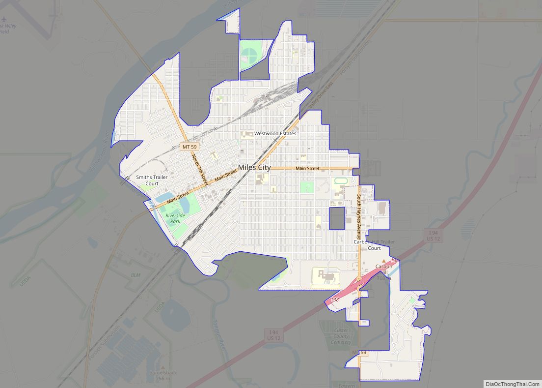
Miles City is a city in and the county seat of Custer County, Montana, United States. The population was 8,354 at the 2020 census. Miles City city overview: Name: Miles City city LSAD Code: 25 LSAD Description: city (suffix) State: Montana County: Custer County Elevation: 2,362 ft (720 m) Total Area: 3.37 sq mi (8.72 km²) Land Area: 3.36 sq mi (8.71 km²) ... Read more
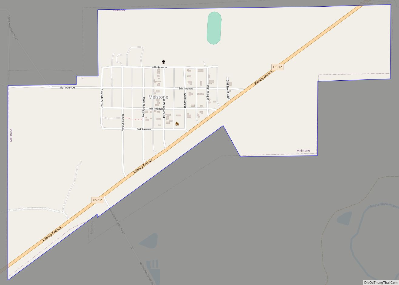
Melstone is a rural small town in far eastern Musselshell County, Montana, United States, along U.S. Route 12. The population was 126 at the 2020 census. The town was established in 1908 as a base for operating crews on the Chicago, Milwaukee, St. Paul and Pacific Railroad, then under construction in Montana. Although the railroad ... Read more
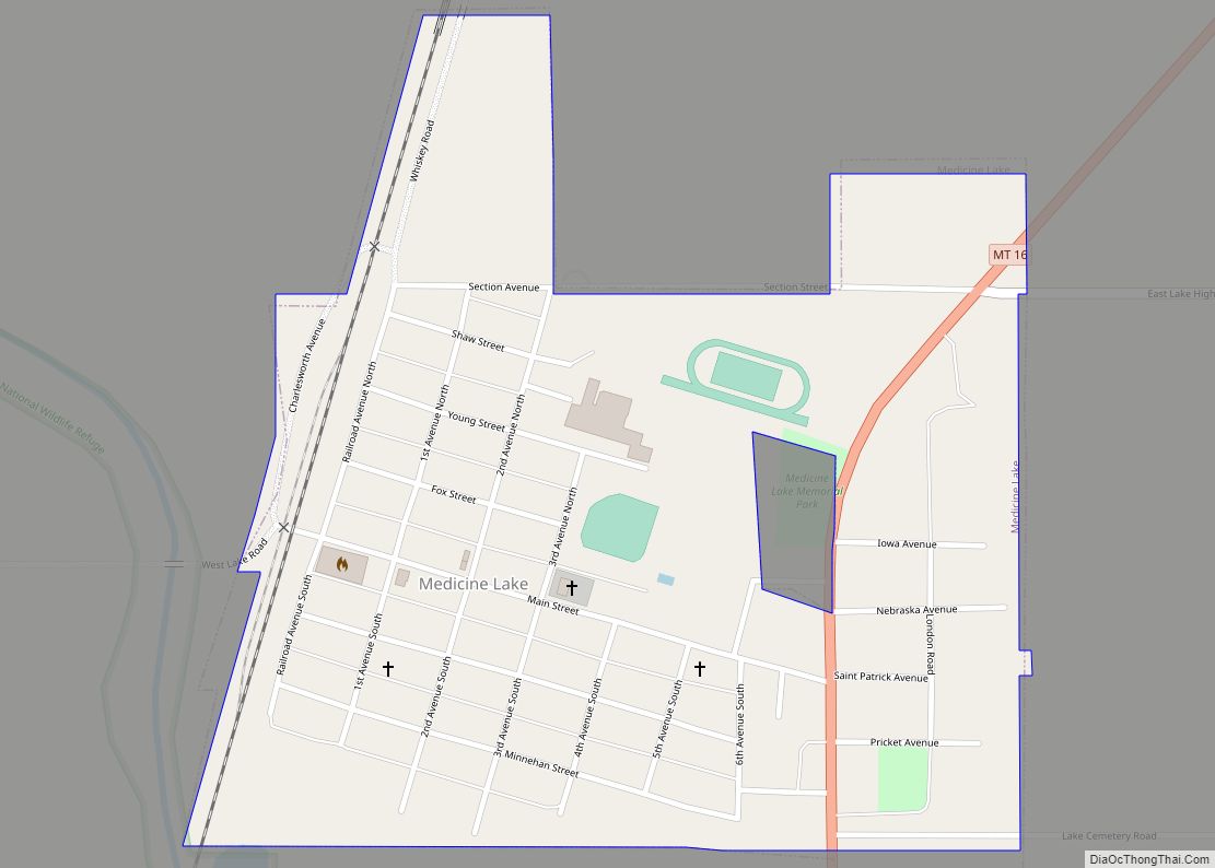
Medicine Lake is a town in Sheridan County, Montana, United States. The population was 244 at the 2020 census. On July 5, 1937, Medicine Lake recorded a temperature of 117 °F (47 °C), setting the record for the highest temperature ever recorded in Montana. Medicine Lake town overview: Name: Medicine Lake town LSAD Code: 43 LSAD Description: ... Read more
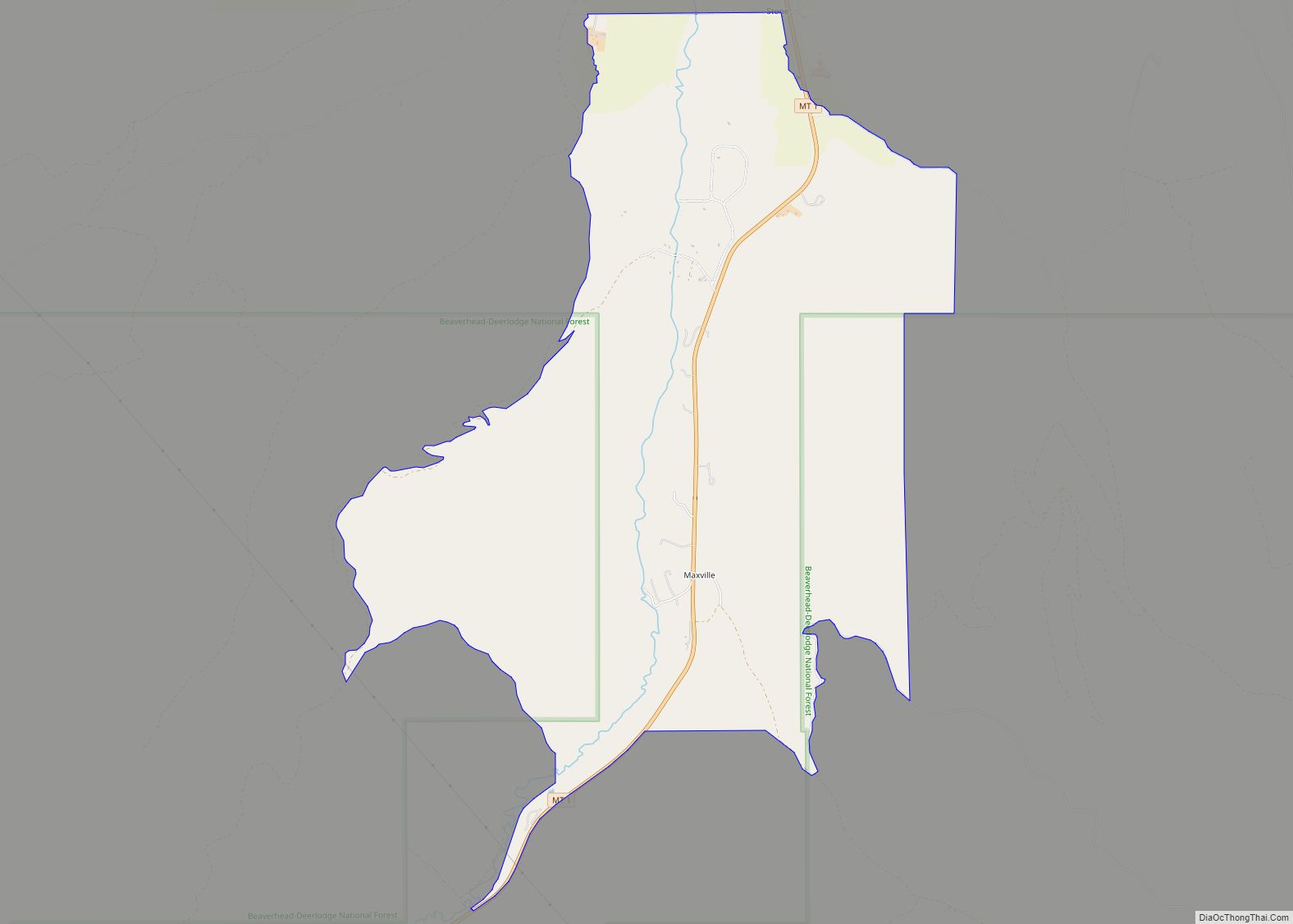
Maxville is a census-designated place in Granite County, Montana, United States. Its population was 130 as of the 2010 census. Montana Highway 1 passes through the community. It is 11 miles from Philipsburg. Maxville CDP overview: Name: Maxville CDP LSAD Code: 57 LSAD Description: CDP (suffix) State: Montana County: Granite County Elevation: 4,754 ft (1,449 m) Total ... Read more
Marysville is an unincorporated community and census-designated place (CDP) in Lewis and Clark County, Montana, United States. Elevation is 5,413 ft (1,650 m). Marysville CDP overview: Name: Marysville CDP LSAD Code: 57 LSAD Description: CDP (suffix) State: Montana County: Lewis and Clark County Founded: 1876 Elevation: 5,413 ft (1,650 m) Total Area: 0.50 sq mi (1.29 km²) Land Area: 0.50 sq mi (1.29 km²) ... Read more
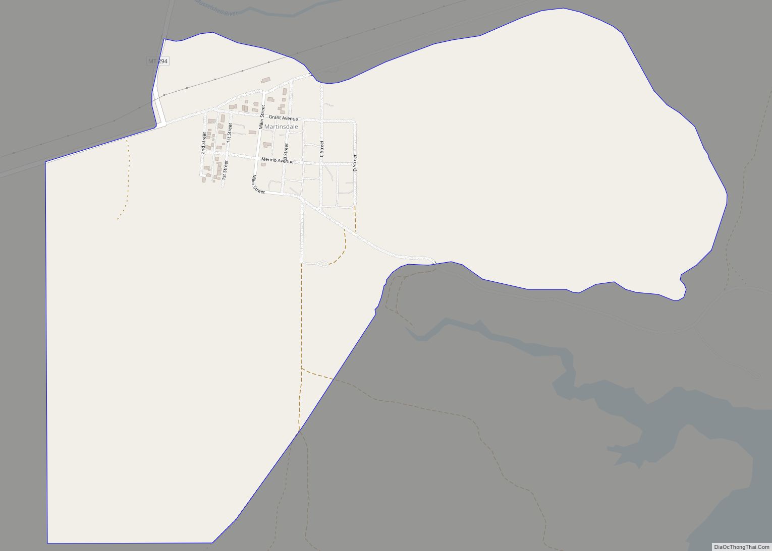
Martinsdale is a census-designated place in southeastern Meagher County, Montana, United States. The town was a station stop on the now-abandoned transcontinental main line of the Chicago, Milwaukee, St. Paul and Pacific Railroad (“the Milwaukee Road”), and is a community center for nearby ranches and farms. Martinsdale was the home of the poet Grace Stone ... Read more
