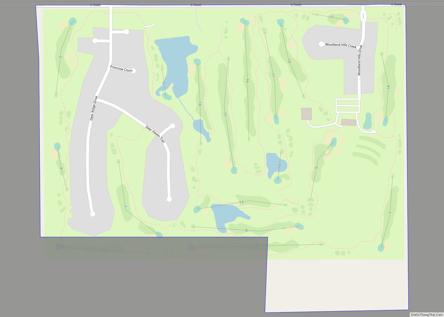
Map of Yutan city
Yutan is in Saunders County, Nebraska, United States. Yutan city overview: Name: Yutan city LSAD Code: 25 LSAD Description: city (suffix) State: Nebraska County: Saunders County Elevation: 1,155 ft (352 m) Total Area: 0.57 sq mi (1.49 km²) Land Area: 0.57 sq mi (1.49 km²) Water Area: 0.00 sq mi (0.00 km²) Total Population: 1,347 Population Density: 2,346.69/sq mi (906.30/km²) ZIP code: 68073 Area code: 402 FIPS ... Read more
Map of Yutan city
Map of York city, Nebraska
York is a city in and the county seat of York County, Nebraska, United States. At the 2010 census, the city population was 7,766. It is the home of York College and the Nebraska Correctional Center for Women. York city overview: Name: York city LSAD Code: 25 LSAD Description: city (suffix) State: Nebraska County: York ... Read more
Map of York city, Nebraska
Map of Yankee Hill CDP, Nebraska
Yankee Hill is an unincorporated community and census-designated place in Lancaster County, Nebraska, United States. Its population was 292 as of the 2010 census. Yankee Hill CDP overview: Name: Yankee Hill CDP LSAD Code: 57 LSAD Description: CDP (suffix) State: Nebraska County: Lancaster County Elevation: 1,188 ft (362 m) Total Area: 3.98 sq mi (10.30 km²) Land Area: 3.98 sq mi (10.30 km²) ... Read more
Map of Yankee Hill CDP, Nebraska
Map of Wynot village
Wynot is a village in Cedar County, Nebraska, United States. The population was 217 at the 2020 census. Wynot village overview: Name: Wynot village LSAD Code: 47 LSAD Description: village (suffix) State: Nebraska County: Cedar County Elevation: 1,198 ft (365 m) Total Area: 0.18 sq mi (0.48 km²) Land Area: 0.18 sq mi (0.48 km²) Water Area: 0.00 sq mi (0.00 km²) Total Population: 217 Population ... Read more
Map of Wynot village