Map of Wrightstown borough

Map of Wrightstown borough, New Jersey

Wrightstown is a borough in Burlington County, in the U.S. state of New Jersey. As of the 2020 United States census, the borough’s population was 720, a decrease of 82 (−10.2%) from the 2010 census count of 802, which in turn reflected an increase of 54 (+7.2%) from the 748 counted in the 2000 census. … Read more

Map of Woodstown borough

Map of Woodstown borough

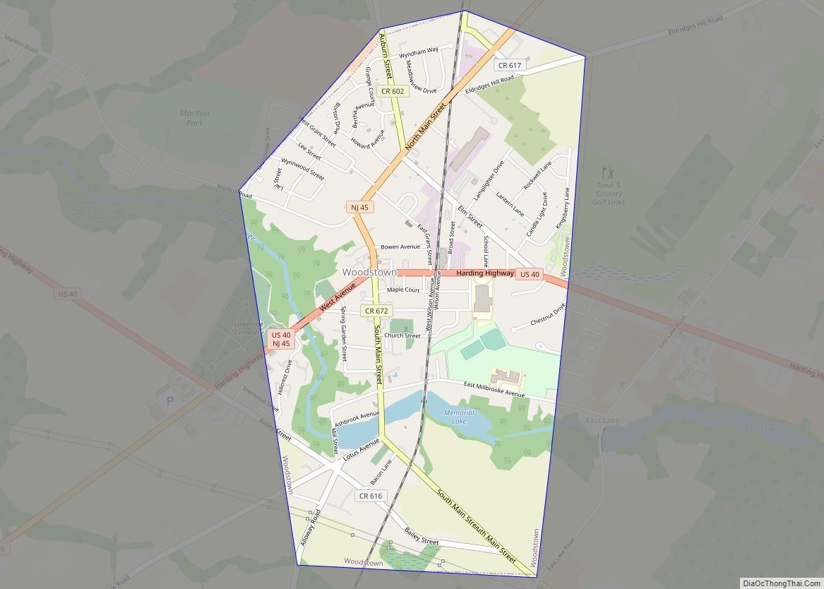
Woodstown is a borough in Salem County, in the U.S. state of New Jersey. As of the 2020 United States census, the borough’s population was 3,678, an increase of 173 (+4.9%) from the 2010 census count of 3,505, which in turn reflected an increase of 369 (+11.8%) from the 3,136 counted in the 2000 census. … Read more

Map of Woodlynne borough

Map of Woodlynne borough

Woodlynne is a borough in Camden County, in the U.S. state of New Jersey. As of the 2020 United States census, the borough’s population was 2,902, a decrease of 76 (−2.6%) from the 2010 census count of 2,978, which in turn reflected an increase of 182 (+6.5%) from the 2,796 counted in the 2000 census. … Read more