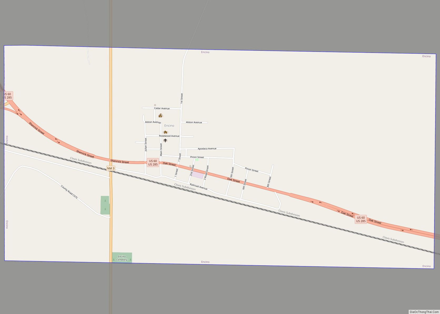
Encino is a village in Torrance County, New Mexico, United States. The population was 82 at the 2010 census. It is part of the Albuquerque Metropolitan Statistical Area. Encino village overview: Name: Encino village LSAD Code: 47 LSAD Description: village (suffix) State: New Mexico County: Torrance County Elevation: 6,119 ft (1,865 m) Total Area: 1.99 sq mi (5.16 km²) Land ... Read more
New Mexico Cities and Places
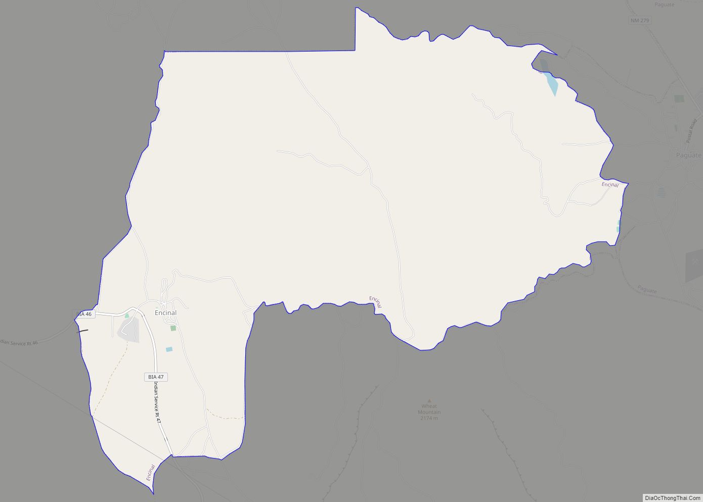
Encinal is a census-designated place (CDP) in Cibola County, New Mexico, United States. It is the smallest of the six villages of the Laguna Pueblo and sits at the base of Mount Taylor. The population was 210 at the 2010 census. The feast day for Encinal is September 8. Encinal CDP overview: Name: Encinal CDP ... Read more
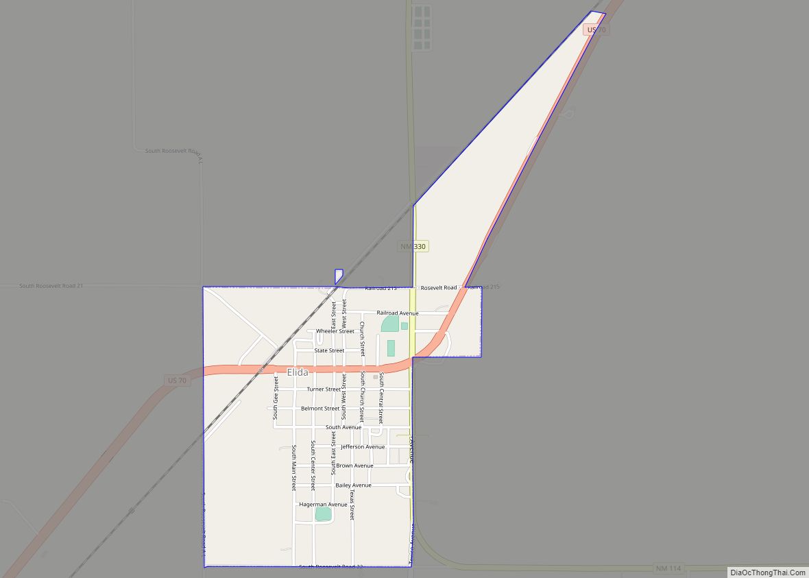
Elida is a town in Roosevelt County, New Mexico, United States. The population was 197 at the 2010 census. Elida town overview: Name: Elida town LSAD Code: 43 LSAD Description: town (suffix) State: New Mexico County: Roosevelt County Elevation: 4,364 ft (1,330 m) Total Area: 1.02 sq mi (2.65 km²) Land Area: 1.02 sq mi (2.65 km²) Water Area: 0.00 sq mi (0.00 km²) Total Population: ... Read more
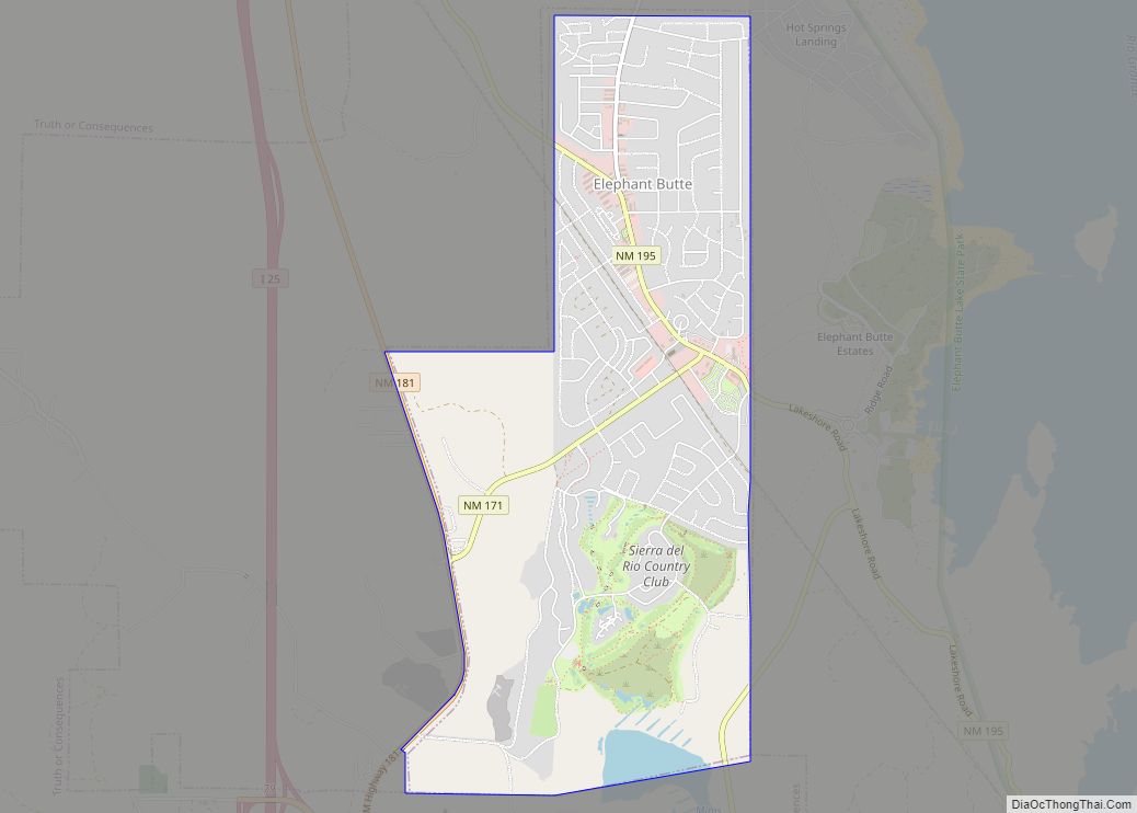
Elephant Butte is a city in Sierra County, New Mexico, United States, located near Elephant Butte Reservoir and Elephant Butte Lake State Park. The population was 1,431 at the time of the 2010 census. Elephant Butte city overview: Name: Elephant Butte city LSAD Code: 25 LSAD Description: city (suffix) State: New Mexico County: Sierra County ... Read more
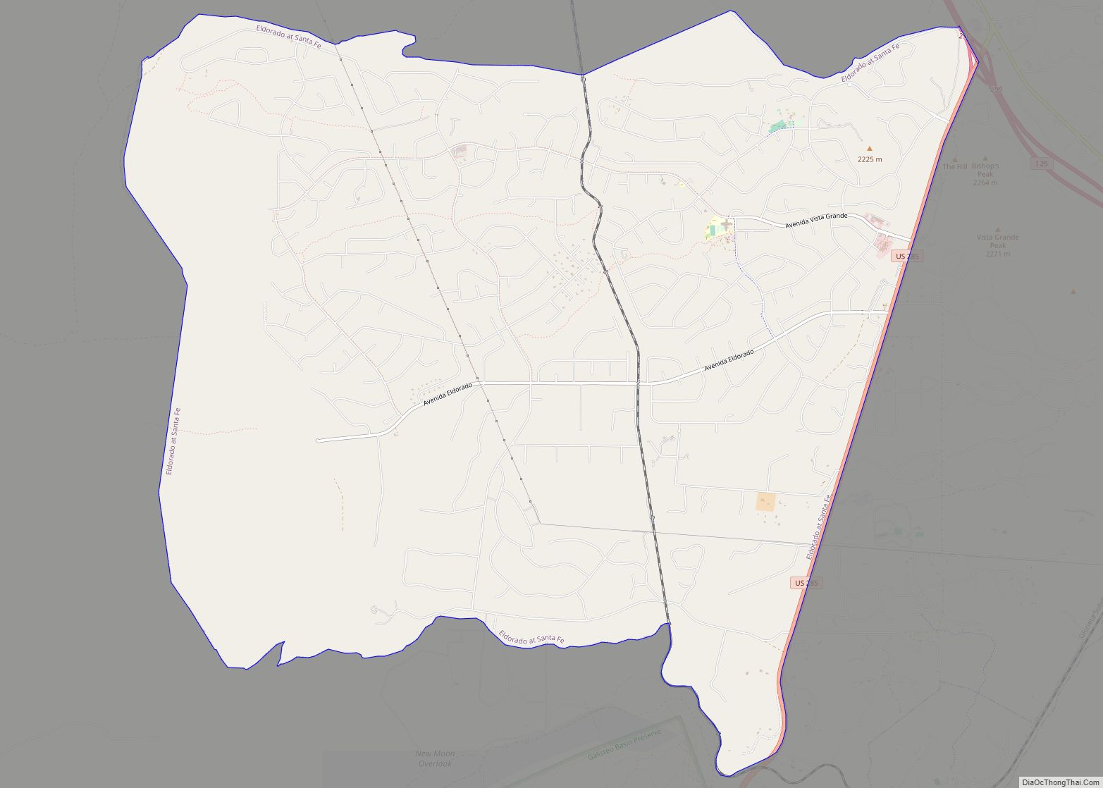
Eldorado at Santa Fe, locally known as Eldorado, is a census-designated place (CDP) in Santa Fe County, New Mexico, United States. It is part of the Santa Fe, New Mexico Metropolitan Statistical Area. The population was 6,130 at the 2010 census. Eldorado at Santa Fe CDP overview: Name: Eldorado at Santa Fe CDP LSAD Code: ... Read more
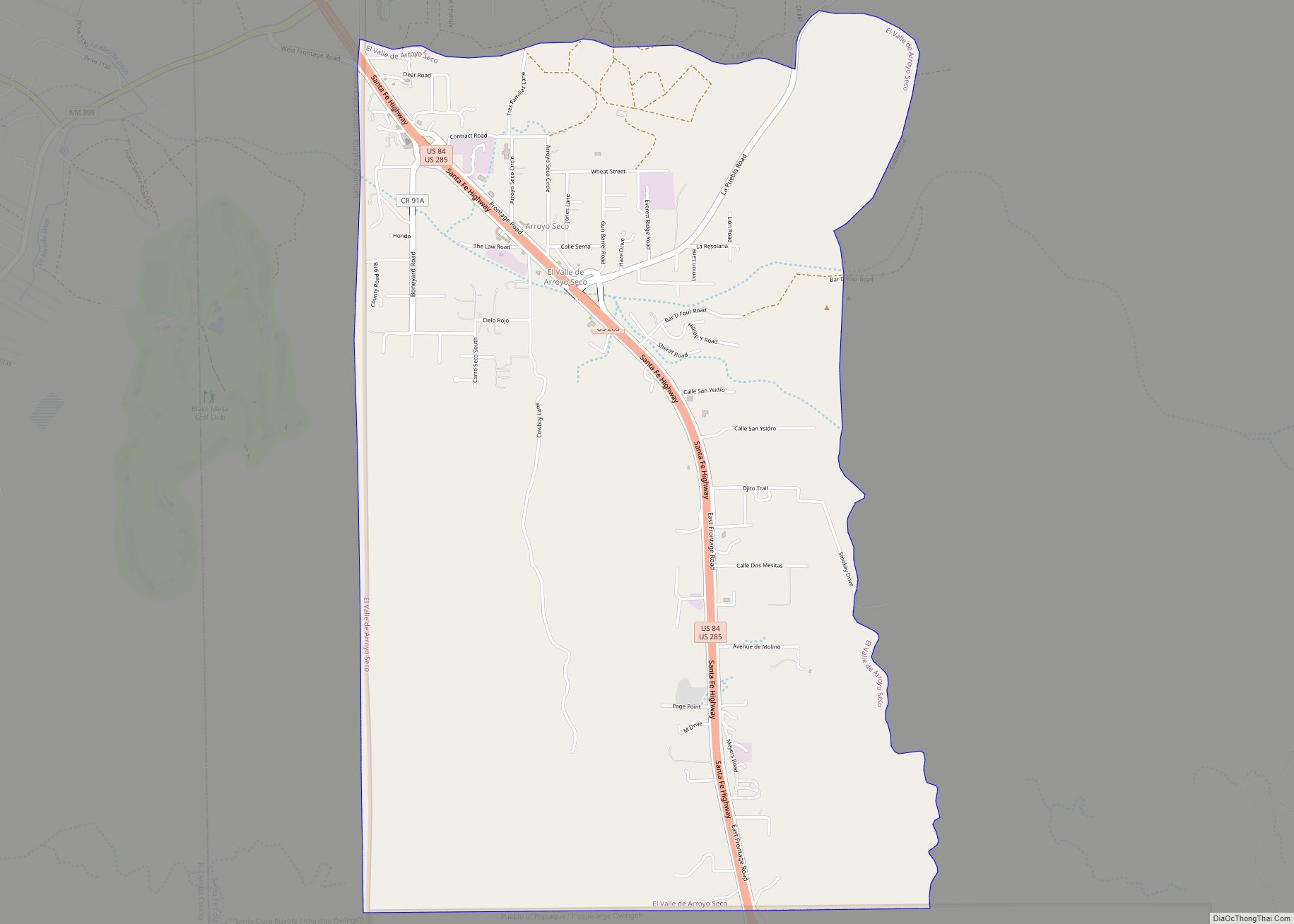
El Valle de Arroyo Seco is a census-designated place (CDP) in Santa Fe County, New Mexico, United States. It is part of the Santa Fe, New Mexico Metropolitan Statistical Area. The population was 1,440 at the 2010 census. El Valle de Arroyo Seco CDP overview: Name: El Valle de Arroyo Seco CDP LSAD Code: 57 ... Read more
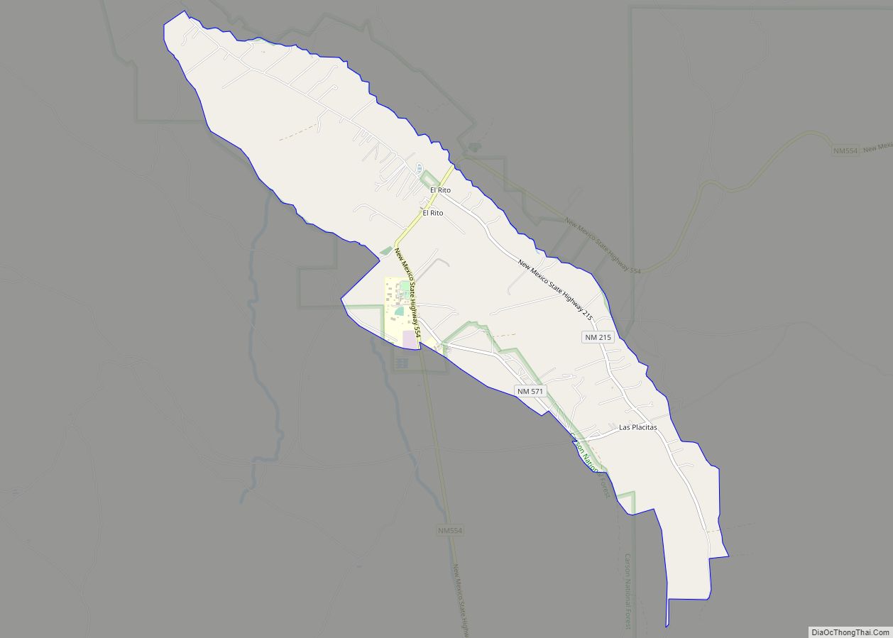
El Rito, (Spanish for The Little River), is an unincorporated community in Rio Arriba County, New Mexico, United States. Its elevation is 6,875 feet (2,096 m). El Rito is located on NM 554, 18 miles (29 km) northwest of Española and 15 miles (24 km) northwest of Ojo Caliente. El Rito was one of the first Spanish settlements ... Read more
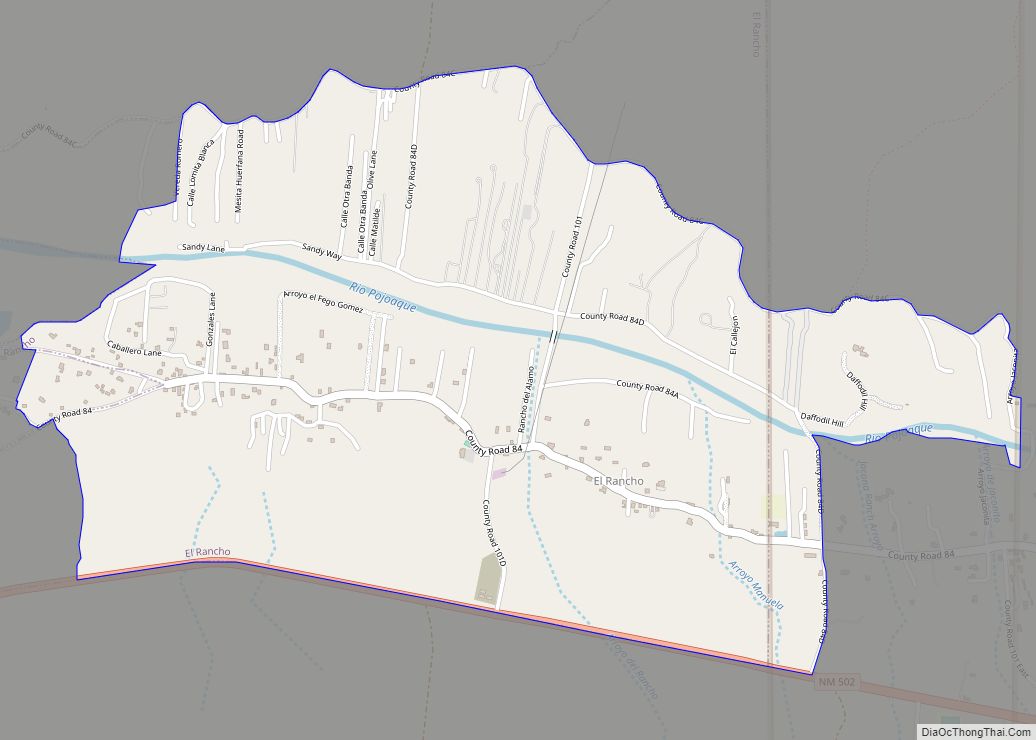
El Rancho is a census-designated place (CDP) in Santa Fe County, New Mexico, United States. It is part of the Santa Fe, New Mexico Metropolitan Statistical Area. The population was 1,199 at the 2010 census. El Rancho CDP overview: Name: El Rancho CDP LSAD Code: 57 LSAD Description: CDP (suffix) State: New Mexico County: Santa ... Read more
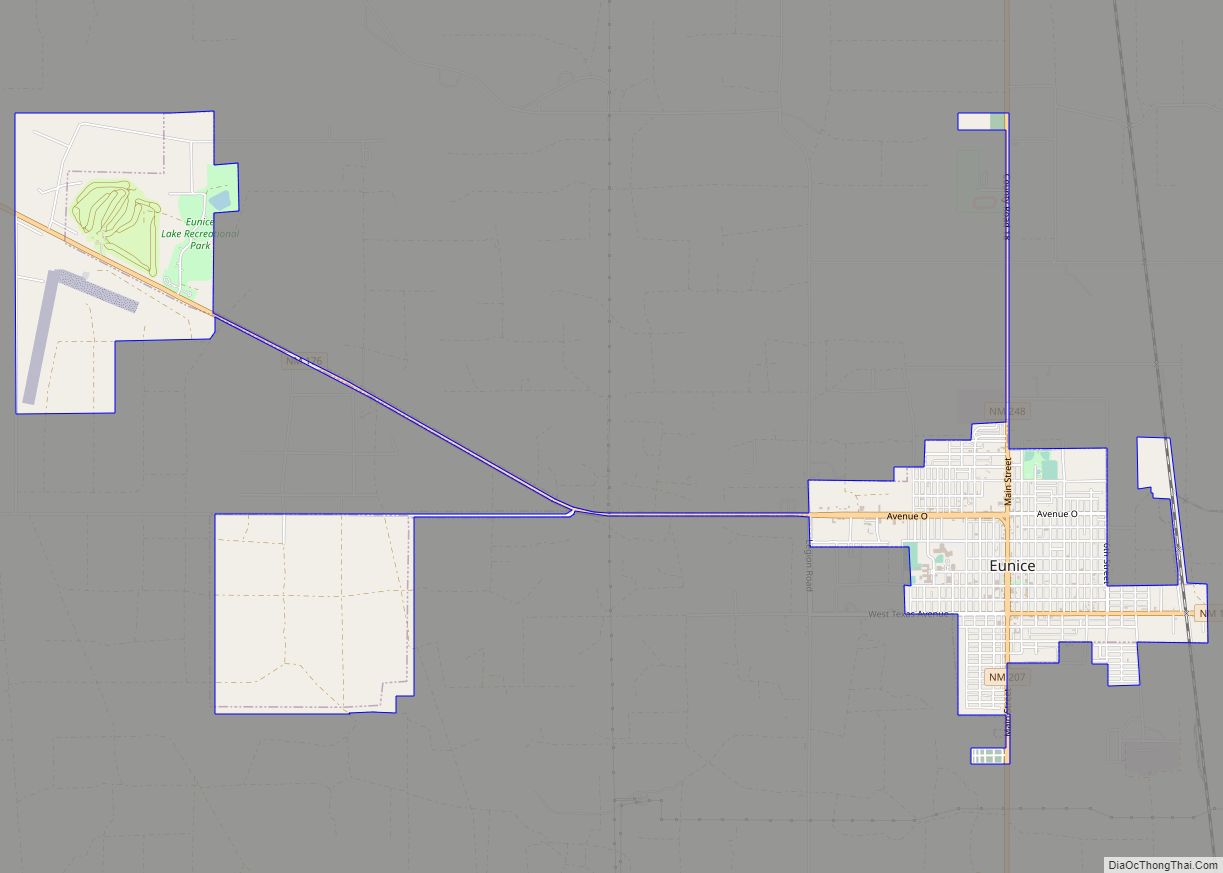
Eunice is a city in Lea County, New Mexico, United States. The population was 2,922 at the 2010 census. Eunice city overview: Name: Eunice city LSAD Code: 25 LSAD Description: city (suffix) State: New Mexico County: Lea County Elevation: 3,484 ft (1,062 m) Total Area: 4.10 sq mi (10.63 km²) Land Area: 4.09 sq mi (10.60 km²) Water Area: 0.01 sq mi (0.02 km²) Total Population: ... Read more
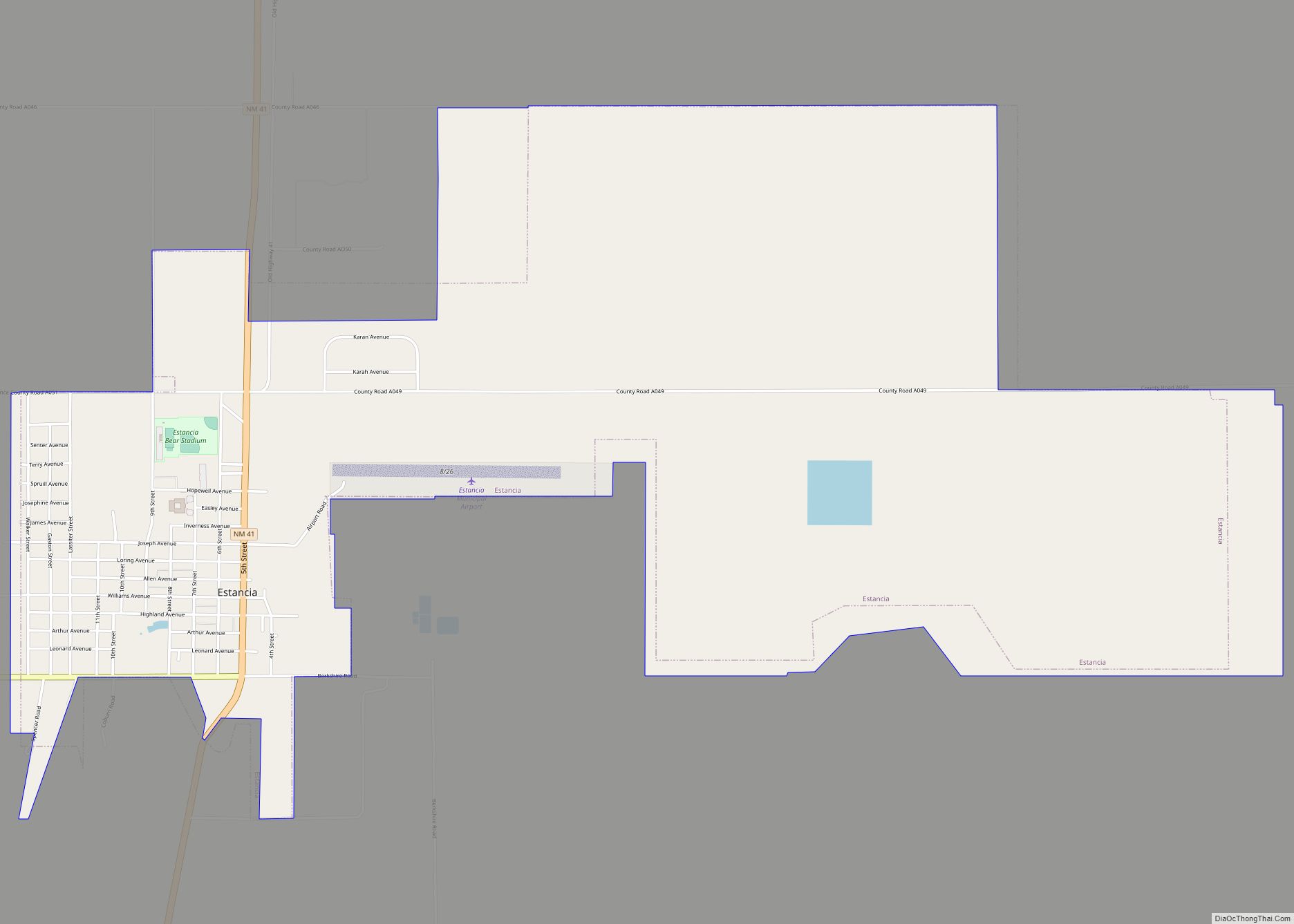
Estancia is a town in Torrance County, New Mexico, United States. As of the 2020 census, the town population was 1,242. It is the county seat of Torrance County. Estancia is part of the Albuquerque Metropolitan Statistical Area. Estancia town overview: Name: Estancia town LSAD Code: 43 LSAD Description: town (suffix) State: New Mexico County: ... Read more
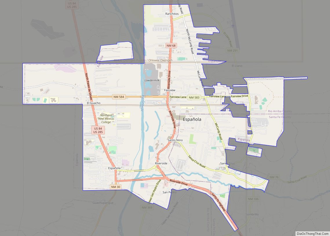
Española city overview: Name: Española city LSAD Code: 25 LSAD Description: city (suffix) State: New Mexico County: Rio Arriba County, Santa Fe County FIPS code: 3525170 Online Interactive Map Española online map. Source: Basemap layers from Google Map, Open Street Map (OSM), Arcgisonline, Wmflabs. Boundary Data from Database of Global Administrative Areas. Española location map. ... Read more
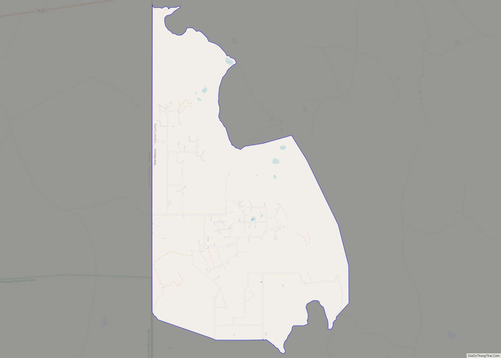
Escudilla Bonita is a census-designated place in Catron County, New Mexico, United States. Its population was 119 as of the 2010 census. Escudilla Bonita CDP overview: Name: Escudilla Bonita CDP LSAD Code: 57 LSAD Description: CDP (suffix) State: New Mexico County: Catron County Elevation: 7,316 ft (2,230 m) Total Area: 12.19 sq mi (31.58 km²) Land Area: 12.16 sq mi (31.49 km²) Water ... Read more
