Map of Chamberino CDP
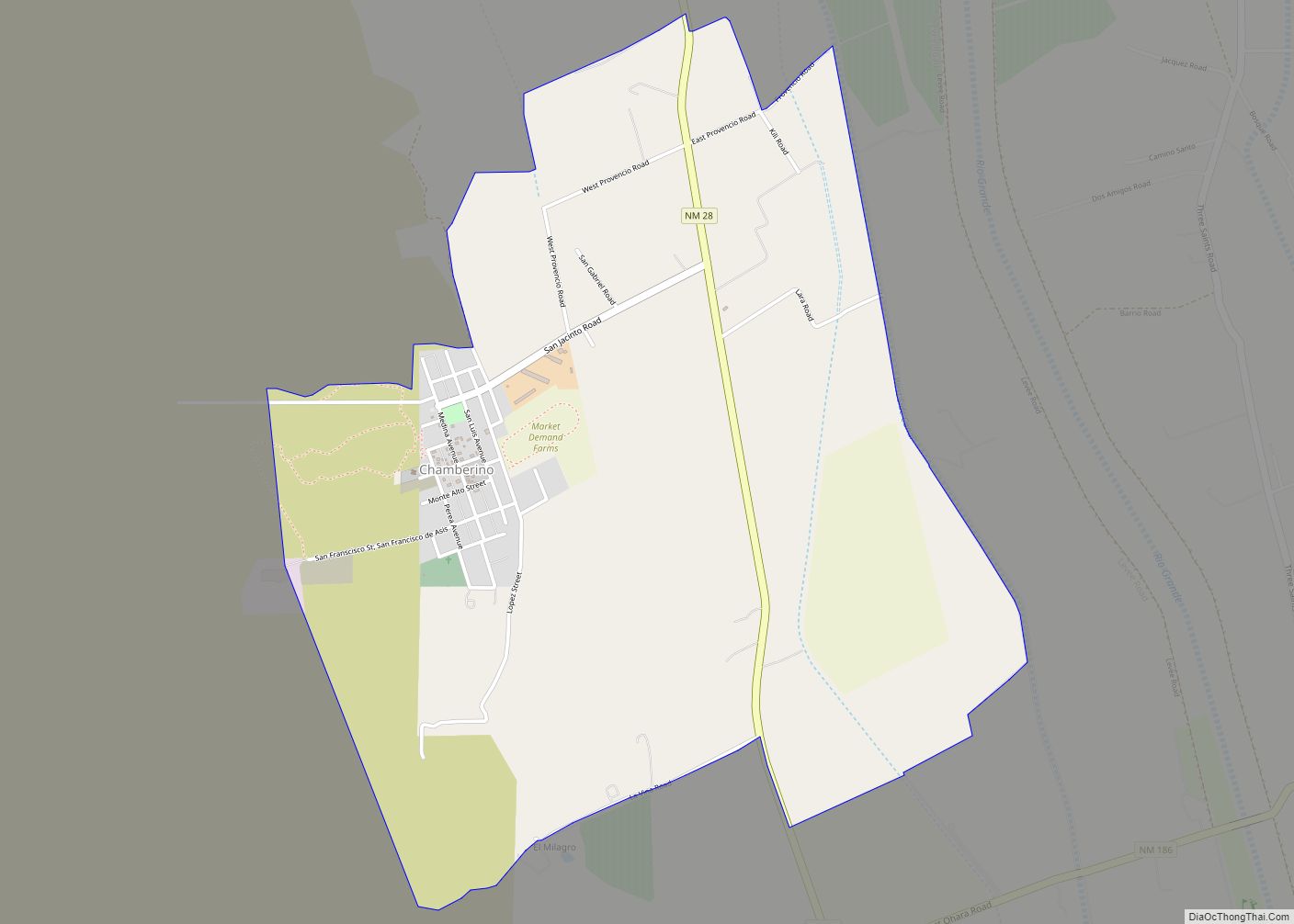
Chamberino is an unincorporated community and census-designated place (CDP) in Doña Ana County, New Mexico, United States. As of the 2010 census it had a population of 919. A post office was established at Chamberino in 1880; although it was suppressed two years later, it was reëstablished in 1893 and continues to the present day. ... Read more
Map of Chamberino CDP
Map of Chama village
Chama is a village in Rio Arriba County, New Mexico, United States. The population was 1,022 at the 2010 census. The village is located in the Rocky Mountains about 7 miles (11 km) south of the Colorado–New Mexico border. Chama village overview: Name: Chama village LSAD Code: 47 LSAD Description: village (suffix) State: New Mexico County: ... Read more
Map of Chama village
Map of Cedro CDP
Cedro is a census-designated place (CDP) in Bernalillo County, New Mexico, United States. The population was 430 at the 2010 census. It is part of the Albuquerque Metropolitan Statistical Area. Cedro CDP overview: Name: Cedro CDP LSAD Code: 57 LSAD Description: CDP (suffix) State: New Mexico County: Bernalillo County Elevation: 7,107 ft (2,166 m) Total Area: 5.39 sq mi ... Read more
Map of Cedro CDP
Map of Cedar Hill CDP, New Mexico
Cedar Hill is an unincorporated community and census-designated place in San Juan County, New Mexico, United States. Its population was 847 as of the 2010 census. The community is located on U.S. Route 550, near the Colorado border. Cedar Hill was originally known as Cox’s Crossing. The name was chosen during a Literacy Society meeting ... Read more
Map of Cedar Hill CDP, New Mexico
Map of Cedar Grove CDP, New Mexico
Cedar Grove is a census-designated place (CDP) in Santa Fe County, New Mexico, United States. It is part of the Santa Fe, New Mexico Metropolitan Statistical Area. The population was 747 at the 2010 census. Cedar Grove CDP overview: Name: Cedar Grove CDP LSAD Code: 57 LSAD Description: CDP (suffix) State: New Mexico County: Santa ... Read more
Map of Cedar Grove CDP, New Mexico
Map of Cedar Crest CDP, New Mexico
Cedar Crest is a census-designated place (CDP) in Bernalillo County, New Mexico, United States. The population was 958 at the 2010 census. It is part of the Albuquerque Metropolitan Statistical Area. Cedar Crest CDP overview: Name: Cedar Crest CDP LSAD Code: 57 LSAD Description: CDP (suffix) State: New Mexico County: Bernalillo County Elevation: 6,581 ft (2,006 m) ... Read more
Map of Cedar Crest CDP, New Mexico
Map of Cañones CDP
Cañones is a census-designated place in Rio Arriba County, New Mexico, United States. Its population was 118 as of the 2010 census. Cañones had a post office until it closed on January 3, 2002. Cañones CDP overview: Name: Cañones CDP LSAD Code: 57 LSAD Description: CDP (suffix) State: New Mexico County: Rio Arriba County Elevation: ... Read more
Map of Cañones CDP
Map of Cañon CDP
Cañon is an unincorporated community and census-designated place in Sandoval County, New Mexico, United States. Its population was 327 as of the 2010 census. New Mexico State Road 4 passes through the community. Cañon CDP overview: Name: Cañon CDP LSAD Code: 57 LSAD Description: CDP (suffix) State: New Mexico County: Sandoval County Elevation: 5,689 ft (1,734 m) ... Read more
Map of Cañon CDP
Map of Chilili CDP
Chilili is a census-designated place in Bernalillo County, New Mexico, United States. The population was 137 at the 2010 census. It is part of the Albuquerque Metropolitan Statistical Area. Chilili CDP overview: Name: Chilili CDP LSAD Code: 57 LSAD Description: CDP (suffix) State: New Mexico County: Bernalillo County Elevation: 6,814 ft (2,077 m) Total Area: 0.99 sq mi (2.57 km²) ... Read more
Map of Chilili CDP
Map of Chili CDP, New Mexico
Chili is an unincorporated community and census-designated place in Rio Arriba County, New Mexico. Its population was 654 as of the 2010 census. U.S. Route 84 passes through the community. The name comes from a station of the D&RG railroad that was known locally as the “Chili Line.” Chili CDP overview: Name: Chili CDP LSAD ... Read more
Map of Chili CDP, New Mexico
Map of Chical CDP
Chical is a census-designated place in Valencia County, New Mexico, United States. Its population was 107 as of the 2010 census. Chical CDP overview: Name: Chical CDP LSAD Code: 57 LSAD Description: CDP (suffix) State: New Mexico County: Valencia County Elevation: 4,902 ft (1,494 m) Total Area: 0.81 sq mi (2.10 km²) Land Area: 0.81 sq mi (2.10 km²) Water Area: 0.00 sq mi (0.00 km²) ... Read more
Map of Chical CDP
Map of Chaparral CDP
Chaparral is an unincorporated community and census-designated place (CDP) in Doña Ana and Otero counties, New Mexico. The population was 14,631 at the 2010 census. Chaparral is primarily a bedroom community for the neighboring city of El Paso, Texas, and the neighboring military installations of White Sands Missile Range and Fort Bliss. It is officially ... Read more
Map of Chaparral CDP